
The Great Historical Atlas
of Czech Silesia
Identity, Culture and Society of Czech Silesia
in the Process of Social Modernisation with an Impact on the Cultural Landscape
Lubor Hruška, Lenka Jarošová, Radek Lipovski (eds.)
ACCENDO - Centre for Science and Research, z. ú.
Ostrava
2021
This publication is published within the project THE GREAT HISTORICAL ATLAS OF CZECH Silesia - Identity, Culture and Society of Czech Silesia in the Process of Social Modernisation with an Impact on the Cultural Landscape; project identification code: DG18P02OVV047; the project is funded by the Programme for the Support of Applied Research and Experimental Development of National and Cultural Identity for the Years 2016 to 2022 (NAKI II).
The subject of the project is a comprehensive mapping of the historical processes that have influenced the population and the landscape, especially after 1848 to the present day, in the territory of Czech Silesia and the territorially related "Moravian Wedge." It is a synthesizing multidisciplinary project that links history, demography, sociology, economics, urban planning and natural sciences. The project integrates the knowledge gained from the previous research projects of three institutions focusing on the territory of Czech Silesia and complements it with other necessary research. This synthesis will provide a new perspective on the development of the territory, which has been subjected to major historical changes within the Central European area, including the interaction between society and the landscape, landscape management (history of forestry, agriculture) and other processes in the territory (impact of mining, war on the landscape). The multidisciplinary research team has the potential to identify completely new causalities between historical processes and the current state of society and landscape (more information on the project website: http://atlas-slezska.cz/).
Leading researcher: ACCENDO - Centre for Science and Research, z. ú.
Co-researcher: Silesian Museum
Co-researcher: Faculty of Arts, University of Ostrava
In cooperation with: Museum of Těšín Region, contributory organization
Keywords: Silesia, history, landscape, culture, identity, atlas
Editors: Lubor Hruška – Lenka Jarošová – Radek Lipovski
Reviewers:
prof. PhDr. Zdeněk Jirásek, CSc. – Silesian University in Opava, Department of Historical Sciences
doc. Ing. Petr Jančík, Ph.D. – VŠB - Technical University Ostrava, Institute of Environmental Technologies
Author’s collective:
Jiří Brňovják, Lukáš Číhal, Lumír Dokoupil, Ivana Foldynová, Martin Gajdošík, Dan Gawrecki, Tomáš Herman, Jana Horáková, Lubor Hruška, Andrea Hrušková, Lenka Jarošová, Radim Jež, Pavel Kladiwa, Ondřej Kolář, Ivana Kolářová, Igor Kyselka, Radek Lipovski, Ludmila Nesládková, Zbyšek Ondřeka, Karolína Ondřeková, David Pindur, Andrea Pokludová, Petr Popelka, Renata Popelková, Dagmar Saktorová, Pavel Šopák, Marta Šopáková, Oľga Šrajerová, Aleš Zářický, Michaela Závodná
Cartographic outputs:
Igor Ivan, David Kubáň, Peter Golej, Ondřej Kolodziej
An interactive version of the atlas in four languages (Czech, Polish, English and German) can be found at: http://mapa.atlas-slezska.cz
In addition to publicly available web sources, the authors of ATLAS also used private sources. The authors of ATLAS would like to thank the following institutions and persons for their permission to use their funds, collections and photographs to create the pictorial parts of ATLAS. Photographs and maps © City of Ostrava Archives - Statutory City of Ostrava; Archives of the Ministry of the Interior of the Czech Republic, Prague; Czech Geodetic and Cartographic Office, Prague; Czechoslovak Hussite Church; Muzeum Śląska Cieszyńskiego; Museum of Těšín; National Museum, Prague; Religious Community of the Czechoslovak Hussite Church, Ostrava-Radvanice; National Heritage Institute; Niederösterreichisches Landesarchiv St. Pölten; Municipal Office Sedliště; Silesian Museum; Central Archives of Surveying and Cartography, Prague; Zemský archiv v Opavě; Zemský archiv v Opavě, State District Archive Bruntál with seat in Krnov; Zemský archiv v Opavě, State District Archive Frýdek-Místek; Zemský archiv v Opavě, Státní okresní archiv Jeseník; Zemský archiv v Opavě, Státní okresní archiv Karviná; Zemský archiv v Opavě, Státní okresní archiv Nový Jičín; Vagon Museum in Studénka, Military Geographical and Hydrometeorological Office Dobruška and M. Anděra; D. Baránek; O. Boháč; J. Bohdal; J. Brňovják; L. Číhal; J. Hamza; J. Horáková; V. Hrazdil; M. Hykel; T. Indruch; R. Janda; L. Jarošová; Z. Jordanidu; J. Juchelka; S. Juga; J. Jung; Z. Kittrich; O. Klusák; J. Kristiánová; J. Křesina; P. Koudelka; O. Kolář; I. Kozelek; J. Kubica; P. Lazárková; I. Lička; B. Lojkásek; J. Mach; K. Müller; F. Nesvadba; M. Pešata; M. Pietoň; D. Pindur; Z. Pohoda; A. Pokludová; M. Polák; M. Polášek; A. Pončová; A. Prágr; P. Proske; A. Pustka; L. Pustka; Š. Rak; V. Reichman; J. Roháček; P. Rödl; D. Saktorová; J. Sejkora; E. Schweserová; F. Sokol; J. Solnický; P. Suvorov; K. Šimeček; M. Šišmiš; P. Šopák; M. Šos; V. Švorčík; T. Urbánková; J. Vaněk; L. Wünsch; J. Zajíc; I. Zwach.
The aerial photographs (I. Kozelek - T. Indruch) were taken within the project "The Czech-Polish Border Region from a Bird’s Eye View." The project was implemented in 2011 by the town of Krnov in cooperation with the partner town of Hlubčice with the financial support of the European Regional Development Fund.
© ACCENDO - Centre for Science and Research, z. ú., 2021
TABLE OF CONTENTS
List of abbreviations
| a. v. | Augsburg confession |
| AMO | Archive of the city of Ostrava - Statutory City of Ostrava |
| AOPK | Nature Conservation Agency of the Czech Republic |
| c. k. | Imperial-Royal |
| ČCE | Czech Evangelical Church |
| CČS | Church of Czechoslovakia |
| CČSH | Czechoslovak Hussite Church |
| ČR | Czech Republic |
| ČSAD | Czechoslovak Automobile Transport |
| ČSD | Czechoslovak Railways |
| ČSR | Czechoslovak Republic |
| ČSSS | Czechoslovak State Farms |
| ČSTV | Czechoslovak Union of Physical Education and Sport |
| ČSÚ | Czech Statistical Office |
| ČÚZK | Czech Office of Surveying and Cartography |
| DMR | Digital elevation model |
| CHKO | Protected landscape area |
| JZD | Unified agricultural cooperative |
| k. ú. | Cadastral territory |
| KSČ | Communist Party of Czechoslovakia |
| KBD | Košice-Bohumín railway |
| LECAV | Lutheran Evangelical Church of the Augsburg Confession in the Czech Republic |
| LFA | Less favour areas |
| MHD | Public transport |
| MLL | Masaryk aviation league |
| MT | Museum of Těšín Region |
| MSK | Moravian-Silesian Region |
| MŚC | Muzeum of Cieszyn Silesia |
| MU | Masaryk University |
| MV ČR | Ministry of the Interior of the Czech Republic |
| MZV ČR | Ministry of Foreign Affairs of the Czech Republic |
| n. p. | National enterprise |
| NDVI | Normalized Difference Vegetation Index |
| NHKG | New Steelworks of Klement Gottwald |
| NM | National Museum |
| NPR | National Nature Reserve |
| NPÚ | National Heritage Institute |
| OKD | Ostrava-Karviná Mines |
| OKR | Ostrava-Karviná Mining District |
| OLK | Olomouc Region |
| OU | University of Ostrava |
| OÚ | Municipal Authority |
| ÖNB | Österreichische Nationalbibiothek Wien |
| PR | Nature Reserve |
| PřF | Faculty of Natural Sciences |
| RVHP | The Council for Mutual Economic Assistance |
| s. o. | Judicial district |
| s. p. | State enterprise |
| s. r. o. | Private limited company |
| SCEAV | Silesian Evangelical Church of the Augsburg Confession |
| SLDB | Census of Population, Houses and Flats |
| SO OPR | Administrative district of a municipality with extended competence |
| SOkA Bruntál | Provincial Archives in Opava, State District Archives in Bruntál with seat in Krnov |
| SOkA Frýdek-Místek | Provincial Archives in Opava , State District Archives in Frýdek-Místek |
| SOkA Jeseník | Provincial Archives in Opava, State District Archives in Jeseník |
| SOkA Karviná | Provincial Archives in Opava, State District Archives in Karviná |
| SOkA Nový Jičín | Provincial Archives in Opava, State District Archives in Nový Jičín |
| StS | State Farm |
| SZM | Silesian Provincial Museum |
| SZEŠ | Secondary Agricultural School |
| SZTŠ | Secondary Agricultural Technical School |
| ÚAZK | Central Archive of Surveying and Cadastre |
| VGHMÚř | Military Geographical and Hydrometeorological Office Dobruška |
| VOKD | Construction - Ostrava-Karviná Mines |
| z. ú. | registered institute |
| ZAO | Provincial Archives in Opava |
| zl | Polish zloty (currency) |
| ZPF | Agricultural land fund |
| ŽNO | Jewish religious community |
Subregions of Czech Silesia
Justification of the written form of the connection between Czech, Austrian, Prussian and Těšín Silesia
Nowadays, we encounter diverse variants of the written form of the name “CZECH SILESIA.” On the one hand, the arguments are based on conformity with the current form of linguistic codification, on the other hand, they seek support in the customary use of similar names (e.g. Austrian Silesia) in writing. The collective of authors decided to keep in line with the currently valid grammar of the Czech language, and therefore we use the name Czech Silesia in the text. In the following, we briefly present the arguments for this decision. It is a two-word name composed of an adjective and a proper noun, where the proper noun is not part of the geographical name and only indicates the closer localization of the territory denoted by the proper noun (similar example Opava Silesia = the territory in Silesia around the town of Opava). At the same time, in the case of the written form of the designation Czech Silesia the rule for combining an adjective and the name of a region, micro-region or Euroregion cannot be applied, as in the case of Těšín Silesia, which has been a Euroregion since 1998 thanks to the launch of a Euro-programme supporting cross-border cooperation in this area. In the end, we cannot rely on the rule of writing historical names of states as in the case of Austrian Silesia, which became one of the crown lands of the Austro-Hungarian Empire with its capital Opava by imperial decision in the period of 1850-1918 (note that we can also balance linguistically here, as the official name of this duchy was Upper and Lower Silesia).
Following the above arguments and taking into account the primary goal of the authors to comprehensively map the historical processes that have influenced the population and the landscape, especially after 1848 until the present day in the territory of Czech Silesia and the territorially related “Moravian Wedge,” the author’s team decided to apply the written form of Austrian, Prussian and Těšín Silesia in the same way. For the first two, we rely on the argument of the absence of an official historical name; for Těšín Silesia, we work with a different temporal and spatial definition than the current Euroregion.
HOME
The territory of Czech Silesia today forms a very diverse region, which is composed of several regions: the Opava, Hlučín, Ostrava, Těšín and Jesenice regions. The vast majority of the area lies in the Moravian-Silesian Region, with the western end (Jesenicko) in the Olomouc Region. In the current administrative structure of the Czech Republic, its borders are not easily defined, as the borders of Czech Silesia currently cross the territory of several municipalities and towns (e.g. Ostrava, Frýdek-Místek). The imprint of the historical memory of Silesia is still evident here, both in the settlement structure, the landscape and the creative human activity in it, and in the minds of the people living in this area, in their customs, values and culture.
The “Great Historical Atlas of Czech Silesia” (ATLAS) was created by a multidisciplinary team of experts in history, demography, sociology, economics, urban planning and natural sciences. The synthesis of expert knowledge, which is interpreted in a user-friendly way in ATLAS, has created a comprehensive view of the development of a territory that has often been subject to major historical changes within the Central European area. The Silesian Wars is the name given to the three military conflicts between the Kingdom of Prussia and the Habsburg Monarchy, fought between 1740 and 1763 for control of the formerly Austrian region of Silesia. As a result of these conflicts, Silesia was divided into an Austrian and a Prussian part (still alive today and popularly known as the “‘Kaiser”‘ and “‘Prussian”‘). At the time of the collapse of the Austro-Hungarian Empire, a dispute also arose between the newly-constituted states of Czechoslovakia and Poland over the Těšín Region. Another significant event in the transformation of the territory was the displacement of the inhabitants to Germany after the Second World War, which affected the Jeseníky region in particular. All these events had a major impact on the historical memory of the inhabitants living there, on their perception of their identity with the territory and on socio-cultural development.
ATLAS integrates the knowledge obtained from research projects of several institutions focused on the territory of Czech Silesia. These institutions are ACCENDO - Centre for Science and Research, z. ú., the Faculty of Arts of the University of Ostrava, the Silesian Museum, especially its Silesian Institute. Cooperation with the Museum of Těšínsko was also important for the creation of ATLAS.
ATLAS consists of a set of annotated maps representing the area of Czech Silesia in seven sections dealing with physical geography, historical geography, demography, socio-cultural development, economic processes, landscape development and the identity of the inhabitants of the area. The multidisciplinary team, thanks to its previous long-term professional experience with work on the above topics, had the potential not only to compare changes, but above all to identify completely new causalities between historical processes and the current state of society and landscape. In addition to historical and geographical information, the team also worked with sociological concepts of identity and culture. The means for obtaining sociological information about the inhabitants of the study area was an extensive quantitative survey of a sample of the population (3000 respondents), which was deepened by a qualitative investigation in the form of 10 group discussions in five areas of the study area. The information obtained is incorporated in the seventh section of the ATLAS.
The main objective of ATLAS is to identify the historical processes that have influenced the population and landscape after 1848 to the present in the territory of Czech Silesia and the territorially related“Moravian Wedge,” the mutual interactions between society and the landscape, landscape management (history of forestry, agriculture) and other processes in the area (influence of mining, war) were described. In general, it is about the development of the society of Czech Silesia in the process of modernisation with an impact on the cultural landscape in which people have lived for centuries. In addition to the main objective, there are sub-objectives that illustrate the whole situation. The causality of the development of territorial, regional, national and cultural identity is mapped and explained, including the development of the inhabitants’’ satisfaction with the quality of life and their perception of the landscape in which they live. The data, which are cartographically mapped onto the territory, explain long-standing economic and socio-demographic processes, including the evolution of the settlement structure. At the same time, by comprehensively mapping the specifics of the development of a cultural landscape that has undergone dramatic changes, traces of events in the landscape are identified to document the changes that have taken place in the territory. The multi-disciplinary approach to ATLAS has allowed for a comprehensive understanding of the landscape, the socio-economic activities within it, and has also, as a result, expanded the possibilities of historical museum presentations to include perspectives from the various natural and social science disciplines that explain the interrelated historical and contemporary influences of populations on the landscape and settlements.
Since the information presented here has a transnational scope, it can be assumed that it will serve as a basis for the current discussion on the problems of national identity and for tracing the evolution of the relationship between humans and landscapes. The authors believe that the information obtained can be used both for museum presentations and for the education of pupils, students and inhabitants of the area.
Since the information presented here has a transnational scope, it can be assumed that it will serve as a basis for the current discussion on the problems of national identity and for tracing the evolution of the relationship between humans and landscapes. The authors believe that the information obtained can be used both for museum presentations and for the education of pupils, students and inhabitants of the area.
1. HISTORICAL-GEOGRAPHICAL CONTEXT
CONTENTS OF THE CHAPTER
1.1 Origin of settlements
Ing. arch. Dagmar Saktorová (ACC), Ing. Ivana Foldynová, Ph.D. (ACC)
1.2 Types of settlements
Ing. arch. Dagmar Saktorová (ACC)
1.3 Development of the state border between 1742-1918
PhDr. Radim Jež, Ph.D. (OU)
1.4 Development of the state border from 1918
PhDr. Radim Jež, Ph.D. (OU)
1.5 Development of the internal administrative structure 1742-1918
Mgr. Karolína Ondřeková (ACC), Mgr. Radek Lipovski, Ph.D. (OU)
1.6 Development of the internal administrative structure since 1918
Mgr. Karolína Ondřeková (ACC), Mgr. Radek Lipovski, Ph.D. (OU)
1.7 Development of buildings in the territory of Czech Silesia
Ing. arch. Dagmar Saktorová (ACC)
1.1 Origin of settlements
In the process of settling Silesia, the ancient pattern of penetration along streams (rivers, streams, rivulets) was applied. The agricultural population settled first in the lowlands. The routes of trade routes, especially the so-called Amber Route from the Baltic to the Adriatic and the so-called Reed Route connecting Prague with Cracow, had a considerable influence on the location of settlements.
The later formation of the settlement network in most of the territory is linked to medieval colonisation, which brought the founding of new towns and villages, most of which have survived to the present day. From the 12th century onwards, internal colonisation took place, with the indigenous population playing a major role, but the sub-state transformation was linked to external colonisation, which began in the second half of the 13th century, continued in the 14th century, and continued in the mountain areas even later. It was the initiative of the rulers and the high representatives of the Church and the nobility. During this process, the forests were gradually lost through clearing and grubbing up and the agricultural landscape was added to. Colonists came to Silesia from various countries. The German stream prevailed, heading upstream along the Elbe through Bohemia, Moravia and Silesia, with its destination in Upper Hungary. The settlers brought new legal norms for both the urban (Swabian and Saxon Mirror) and rural populations (emphyteutic law). The influx of the population led to the settlement of higher ground, where a number of new villages were established, whose populations had to cope with unfavourable natural conditions.
Locators were commissioned by landowners to found new towns on green turf (in uninhabited areas) or on the site of former villages. These towns, unlike the older ones, were "growing" cities characterized by a regular plan. Among the first to be founded were the so-called upper towns, when new settlers were attracted by the great mineral wealth of Silesia (the Golden Mountains). Their patrons were often the bishops of Wrocław and Piast princes. The construction or reconstruction of medieval castles (Hradec nad Moravicí, Hukvaldy, Landek, Vikštejn, etc.) also stimulated the settlement. A new model of agricultural production was formed, which brought about the extension of the three-field system (winter, spring, fallow). The regular arrangement of the arable land led to a transition from extensive to intensive production, and agricultural tools were improved.
A noticeable intervention in the development of the settlement in the 15th century was the Hungarian war campaigns. Many castles were captured and villages were devastated, many of which were not rebuilt. The nobility took advantage of this to seize unsettled land and expand their estates. In addition to the growing interest in mining precious metals (gold, silver), the economic activities of the nobility (e.g. a new focus on iron ore mining and metallurgy) also increased. In the Poodrie region, fish farming developed and new settlements were founded.
From the beginning of the 16th century, a new phenomenon began to take hold, which was the so-called Wallachian colonisation. The Wallachians came to Těšín and Eastern Moravia from the east along the Carpathian Arch. Their specificity was the mountain way of cattle breeding and the production of sheep products. In spring, the flocks were driven to shepherds’’ huts in the mountains, where they were kept in unroofed pens (koshars) until autumn. In the 17th century, the so-called shepherd colonisation also spread upstream of the rivers and streams, and the two groups intermingled and merged. The Thirty Years’’ War brought about a depopulation of the population and the devastation of settlements - towns and villages, especially along the routes of military movements and clashes. However, there were no major changes in the settlement network. The post-war period saw the culmination of the process of strengthening the landlord economy, the differentiation of the nobility, including changes in the composition of the estate (the departure of non-Catholics).
The last intervention into the settlement conditions of the still traditional society was the parcelling of the courts and the Josephine colonization associated with the establishment of new settlements. The reason for this was the fact that the tax revenue from the land parcelled out was higher than the earnings from the owners’’ own farming. On the initiative of the Austrian economist Raab, the so-called Raabisation settlements were founded, characterised by a very regular layout. In the territory of Czech Silesia, these included Ditrichštejn (today part of the town of Jeseník), Lipina (today part of the municipality of Štáblovice), Tábor (today part of the municipality of Velké Heraltice) and others. In the 18th century, the long-term process of settling the landscape was basically completed. A new impetus was provided by the industrialisation that developed from the 19th century onwards, as well as by the massive support for mining and the development of heavy industry in Czechoslovakia after the Second World War.
1.2 Types of settlements
The area of today’s Czech Silesia basically comprises three areas of rural settlement according to the types of settlements and the regularity of their layout and two basic historical types of towns.
In the middle areas, previously covered by continuous forests and settled during the late medieval colonization, the villages have a more loose but regular layout with a greater distance between the homesteads. The axis of these terraced villages, otherwise known as woodland rope villages, is usually a stream and a road. In contrast to the previous type, the owners’ landholdings are concentrated in a belt behind the homesteads, forming what is known as a “ploughland”. The boundaries of these strips are still visible in many places thanks to the mature trees that line them. The extensive area of the rope villages covers the whole of the Hrubý and Nízký Jeseník with the exception of the highest altitudes and part of the Poodří and Podbeskydí. The best preserved are the rope ploughlands in the Holčovice region.
The chain villages of the Beskydy sub-region and parts of Ostrava have a similar, but even looser and less regular layout, forming a transitional type to the third and least regular type - the dispersed settlement of Těšín Silesia with a pluvial system of divided sections. The mass villages of the higher altitudes of the Beskydy Mountains also have an irregular layout. However, mixed-type villages are also abundant in Czech Silesia.
The towns of Czech Silesia, as they aged over the years, bear some characteristics of colonial towns. Regular core area of central square, either square or rectangular plan and a more or less rectangular grid of paths branching out of it. The exceptions are Krnov and Opava (and Těšín on the Polish side), whose irregular layout indicates an older origin. New towns were also founded on the site of earlier villages, which were covered by the new parcelization. It was not until relatively recent times that the town of Havířov was founded (in the 1950s), but also Český Těšín, which was built according to the urban plan as a new town after the division of Těšín by the Czech-Polish border. The extinct settlements include the original rope village of Karviná (now Karviná-Doly), which had to give way to coal mining.

1.3 Development of the state border between 1742-1918
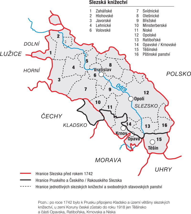
On 11 June 1742, a preliminary (tentative) peace was concluded between Austria and Prussia in Wroclaw under British mediation, ending an eighteen-month military conflict that went down in history as the First Silesian War. The final signing of the peace treaties took place on 28 July 1742 in Berlin. The peace protocol stipulated that the King of Prussia, as the victor, would receive the whole of Lower Silesia and a substantial part of Upper Silesia, including Kladsko, which had never been part of Silesia but Bohemia. Only the whole territory of the Principality of Těšín was to remain part of the Habsburg monarchy, to which was added a part of the lower Estates of Bohumín from the original Ratiboř region, as well as most of the Principalities of Opava and Krnov, a smaller part of the Principality of Nisko-Grotkov and basically all the so-called Moravian enclaves in Silesia. Austria thus accounted for less than 14 % of the total area of Silesia. The name of the newly created territorial unit was adopted as the Duchy of Silesia, later the Duchy of Upper and Lower Silesia, as a reminiscence of the previous state and an expression of state and sovereign prestige. However, it was generally referred to as Austrian Silesia.
The demarcation of the border directly at the places in question began on 22 September 1742 on the border of Těšín and Pštinsk at the confluence of the Bela and Vistula Rivers near the village of Dědice. The boundary in this area was defined by the Vistula Stream as far as the town of Strumen, but further west it continued through open countryside, which led to the need to resolve a number of disputes between landowners on both sides of the boundary line. On the Těšín side, the border consisted of the estates of Zbytkov, Bonkov, Rychuld and Žibřidovice, where the border on the Prussian side began to meet the lower estate of Vladislav. The state border then followed the course of the Petrůvka River to its confluence with the Olše. It followed the course of this river north-westwards until it reached its mouth on the Oder at the village of Kopytov. The only significant exception was the area near Věřňovice, where the commissioners respected the need to preserve the integrity of the estate, which was part of the lower estate of German Lutyně. The border continued upstream of the Odra River to its confluence with the Opava River at Třebovice. As a consequence, the lower estate of Bohumín was divided into two parts, of which the town itself and the villages of Kopytov, Pudlov and Šunychl fell to the Austrians, while the Prussian side included Bohumín Castle with the Old Court and the villages of Zábylkov, Odra, Olza, Velké Hořice and Belšnice.
In the Principality of Opava, the Opava River formed the border to its provincial centre. The territory on the right bank of the river, i.e. Ratibořské Předstí, the village of Kateřinky and the farmlands belonging to the town, remained part of the capital of Austrian Silesia. Not far beyond, to the north-west, the border at the village of Vávrovice reverted back to the course of the Opava, which, against the stream followed the river to the town of Krnov. Just as in the case of Opava, it remained part of its right bank suburbs. The boundary line then continued along the Opavice River, dividing several manors and estates. A similar situation prevailed in the establishment of the borders of the so-called Moravian enclaves, which, however, remained for the most part attached to the Habsburg monarchy.
The situation was rather complicated in the Principality of Nisza, where the commissioners could not take advantage of natural obstacles as in the case of the other territories concerned and were therefore forced to follow the course of local roads, small watercourses and other landscape landmarks, with the primary consideration being the boundaries of the individual landed estates of the nobility. However, this was not always possible. The new boundaries affected the estates of Velké Kunětice and Bílá Voda most visibly. The subsequent disputes that flared up between the owners of the dominions on both sides of the border had to be resolved in a partial way even after the termination of the boundary commission, whose last meeting was held in Bílá Voda on 20 October 1742.
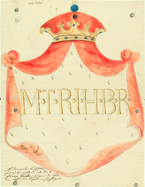
During the demarcation of the boundary, the commissioners and their authorized staff were to set wooden posts in the field where the boundary line would run. In total, 138 of them were planted on the Austrian side. The posts also included signs on which the royal crown was painted, from which a red royal cloak lined with ermine emerged. The mantle bore gold initials: M.T.R.I.H.B.R, an abbreviation of the name and title of the monarch in the Latin version. The translation reads: Maria Theresa, Empress of Rome and Queen of Bohemia. However, the wooden posts could not withstand the weather for long and were therefore replaced by boundary stones. Each of them bore a numerical order marking and in the upper part the emblem of the imperial crown or the Prussian eagle or a combination of both. Their location was recorded on special maps. Only in the area of the boundary of the Principality of Těšín were about 50 of them installed, of which about twenty have survived to this day as a memento of the long-defunct boundary line.
The boundary set in the autumn of 1742 remained in force until the end of the monarchy in 1918.
1.4 Development of the state border from 1918
At the end of the First World War, when the disintegrating Austro-Hungarian monarchy began to form new state units, it was necessary to resolve the course of the state border in the area of the disappearing Austrian Silesia. The territorial demands of the representatives of the Czechs, Germans, Poles and Schlonzaks were based on arguments of historical rights, national and ethnographic conditions and economic interests. A protracted dispute over the territory of the historical lands, which had been constituted and to a certain extent developed as independent principalities since the high Middle Ages, had to be ended only by the intervention of the conciliatory powers.
The Czechoslovak government, however, demanded the annexation of the left bank territory around the Opava River. This was the southern part of the Ratiboř region - the so-called Hlučín region - where approximately 50,000 inhabitants lived on nearly 316 km2. Its annexation to Czechoslovakia was stipulated by the peace treaty signed with Germany at Versailles on 28 June 1919. Despite the obvious disagreement of the majority of the local population, Hlučínsko was merged with the Czechoslovak territory without a plebiscite on 4 February 1920. The work of the de-limitation commission continued until 1923, when the villages of Hata and Píšt were additionally annexed and the village of Ovsiště was returned to Germany.
The situation was most complicated in Těšín. Representatives of a part of the Polish representation established their own group in Těšín on 19 October 1918 under the name of the National Council of the Těšín Region. Poland in its declaration of October 30, 1918, demanding the annexation of the whole of Těšín in its historical borders to the restored Poland. On the same day, the Czechs launched the organisation of the Provincial National Committee for Silesia and on 1 November in Ostrava, Poland, they agreed to take over the government of the entire Silesian territory. The provisional demarcation line, the final form of which was to be decided by the governments of both states, was set on 5 November 1918 according to the national composition of the municipal councils. After the Polish government announced at the end of November 1918 elections to the Constituent Assembly, which, according to the wishes of the National Council, were to be held on 26 January 1919 also on the territory of Těšín, the Czechoslovak government strongly opposed this step and at the end of January 1919 militarily occupied part of Těšín up to the upper reaches of the Vistula. After the intervention of the Agreed Powers and lengthy negotiations, the Council of Ambassadors in Spa on 28 July 1920 decided that Těšín would be divided as follows - Czechoslovakia would receive, according to its minimum requirements, the Ostrava-Karviná district and the Košice-Bohumín railway, i.e. from the historical territory of the principality of about 1,270 km2, where approximately 300,000 inhabitants lived. 1,012 km2 with 140,000 inhabitants were annexed to Poland. The administration of the annexed parts of Těšín was handed over to the Czechoslovak and Polish governments on August 10, 1920. Four years later, the border was additionally adjusted when the settlement of Hrčava was annexed to Czechoslovakia.
The newly demarcated boundaries were set with boundary stones carved with the abbreviation of the states and the year in which they were installed. In addition, a total of 232 border orientation posts made of pressed steel sheet, painted in the form of a stylised national flag and two cast-iron shields with a lion from a small national emblem were erected at border crossings throughout Czechoslovakia in 1925-1926. Forty-five of them were installed at border crossings in the area of Czechoslovak Silesia.
The Polish government also took advantage of the political tensions that culminated in 1938 with the dictate of Hitler’s Germany to cede the Czechoslovak border territory. In several diplomatic notes, it demanded the immediate evacuation of the Czechoslovak part of Těšín, where the Polish minority was most numerous, and the handover of this territory to the Polish state. The seizure included the entire political districts of Český Těšín and Fryštát, and partly affected three villages in the Frýdek district (Šenov, Vojkovice and Žermanice) and later other smaller parts of the Moravská Ostrava district (Hrušov, Heřmanice, Michálkovice, Radvanice and Slezská Ostrava), while, on 10 December 1938, Morávka was incorporated as part of the political district of Frýdek into the second republic, which from 16 March 1939 was part of the historical Silesia in the Protectorate of Bohemia and Moravia. The area of the territory affected by the Polish occupation was approximately 830 km2.
Western Silesia was granted a protocol signed by Czechoslovakia and Germany. On 20 November 1938 it was annexed to the Reich. The government district of Opava became part of the Sudetenland, while the Hlučín region was included from October 1938 in the Ratiboř district of the Opole government district of the Silesian province (from 1941 Upper Silesia).
The part of Těšín under Polish occupation was occupied by the German army on the first day of the Second World War, i.e. on 1 September 1939, and annexed to the Reich as part of the government district of Katowice.
After the end of the Second World War, Polish territorial claims were not accepted; after the intervention of the Soviet Union, both sides were forced to sign the Allied Treaty on 10 March 1947. A definitive decision on the form of the state border was not made until the signing of the Czechoslovak-Polish Treaty in Warsaw on 13 June 1958, adopted by the National Assembly of the Czechoslovak Republic at its session on 18 September of the same year. A total of 43 changes were made in Silesia, the most significant in the vicinity of Krnov at the confluence of the Opavice and Opava Rivers.
1.5 Development of the internal administrative structure 1742-1918
From 1743, Austrian Silesia was administered by the Royal Office in Opava, which was renamed the Royal Representation and Chamber in 1749 and the Royal Office again in 1763. In 1783-1783, Austrian Silesia was merged with Moravia and administered by a joint Moravian-Silesian Governorate based in Brno. At the same time, it was divided into two regions with seats in Těšín and Opava. After the abolition of serfdom in 1848, the regional authorities ceased to function and Silesia was divided into seven political districts. These were abolished in 1855 and part of their competence was transferred to the mixed district authorities. In 1868 the political districts were re-established. From 1849 the superior authority of these districts was the governorate, which in 1853 became the Silesian regional government.
With the abolition of serfdom in 1848, the dominions were abolished and replaced by state administration offices. At the lowest level, local municipalities were established as local self-government bodies, which were supervised by district governorates administering the so-called political districts. The only Silesian town that acquired a specific status, the Statutory Town of Opava, also had the duties of a district governorate. The judiciary was separated from the political administration, so that each political district was further divided into several judicial districts. Regional authorities were abolished and in Austrian Silesia they were not replaced by any regional governments (political administration bodies) as in Moravia and Bohemia. At the top of the provincial administration stood the governorship, headed by the governor. In Austrian Silesia, in the absence of a regional government, the governor also held the office of regional president and was the direct superior of the district governor. The Moravian-Silesian state was divided and Silesia was once again represented as an independent state represented at the level of state administration by the governorate with its seat in Opava. There was also still an elected a self-governing body - the Silesian Convention (from 1861 called the Silesian Provincial Assembly).
Since the governorship was a state administration body and the regional governments met as self-governing authorities, the governorship was replaced in 1853 by the Silesian regional government in Opava, which combined the competences and tasks of the regional government and the governorship. The Silesian Provincial Government served as the highest administrative authority until the end of the existence of Austrian Silesia. In 1860 it was abolished and Silesia was merged with Moravia, but this change lasted only a year and from 1861 Silesia existed again as an independent country with a provincial government. It was headed by a provincial president.
Seven political districts were established in Austrian Silesia in 1849 - Bruntál, Frývaldov (Jeseník), Krnov, Opava, Frýdek, Těšín and Bílsko. There were 22 judicial districts - Bílsko, Skočov, Strumeň, Jablunkov, Těšín, Fryštát, Bohumín, Frýdek, Bílovec, Klimkovice, Odry, Opava, Vítkov, Albrechtice, Krnov, Osoblaha, Bruntál, Horní Benešov, Cukmantl (Zlaté Hory), Frývaldov (Jeseník), Javorník and Vidnava. When another administrative reform took place in 1855, the political districts were abolished, part of their competences were transferred to the provincial government and part to these judicial districts, which began to be governed by mixed district offices. They were headed by district governors.
In 1868 the judicial and political administration was separated again. The judicial districts remained the same, only in 1869 another judicial district Vrbno (from Bruntál), in 1873 Jindřichov (from Osoblaha) and in 1904 Polish Ostrava (from Bohumín). For political administration, district governorates with district governors at their head were again established. Austrian Silesia was divided into seven political districts, but they were not quite the same districts as before 1855 - Bruntál, Frývaldov (Jeseník), Krnov, Opava, Fryštát, Těšín and Bílsko. Opava as a statutory town had the competence of the district governorates, and the towns of Bílsko and Frýdek subsequently acquired a specific status. This created a three-instance state administration (district governorate - provincial government - state). This administrative system lasted until the end of the monarchy, only in the course of time the need arose to divide the administrative units more rationally, and therefore in 1896 the political district of Bílovec was established, which was split from the district of Opava, and in 1901 the political district of Frýdek, split from the district of Těšín. It consisted of a single judicial district - Frýdek, but in 1904 the judicial district of Polish Ostrava was added to it.
The local government also had three instances. At the lowest level it was represented by municipal boards, at the middle level from 1898 by district road committees and at the provincial level by the Silesian Assembly.
1.6 Development of the internal administrative structure since 1918
After the establishment of Czechoslovakia, the administrative system of Austria-Hungary was adopted. It was not until 1928 that a reform in administration took place, which established the Moravian-Silesian Land. A regional authority with its seat in Brno and district authorities as self-governing bodies were established. During the Second World War, the western part of Silesia was annexed to the Sudetenland and most of the Teschen district to the province of Silesia, later Upper Silesia, with a governmental president in Katowice. Only the district of Frýdek remained in the so-called second republic and later in the Protectorate. After the war, national committees were established at all levels and the 1949 reform created regions. The greater part of Silesia fell under the Ostrava Region and from 1960 the whole of Silesia under the North Moravian Region. The regions were abolished in 1990 but restored in 2000; most of Silesia belongs to the Moravian-Silesian Region, only the Jeseník district belongs to the Olomouc Region.
National committees were also formed at the level of districts and municipalities and for a short time took over state administration. Otherwise, the political districts of Frývaldov (Jeseník), Bruntál, Krnov, Opava, Bílovec, Fryštát and Český Těšín (under the secession of part of Těšín), the statutory towns of Opava and Frýdek, and the district of Hlučín were also newly incorporated into this set-up. The political districts were further divided into the original judicial districts, of which there were 23 in Czechoslovak Silesia.
In 1928, an administrative reform was carried out on the basis of the so-called Organisation Act, according to which the state was divided into four countries - the Czech, Moravian-Silesian, Slovak and Podkarpatorian. Silesia was merged with Moravia and Brno became the seat of the regional authorities. The Silesian provincial government thus ceased to exist. At the provincial, district and municipal levels, administration and self-government were merged. In Brno, a provincial authority was established with competence also for Silesia, headed by a provincial president, who had a council, a committee and commissions at his disposal. The district authorities were divided in the same way, so that the district governor was at the head and had a council, committee and commissions at his disposal. The districts were identical to the previous political districts. At the municipal level, there was a mayor, a municipal council, a municipal board and commissions.
After the Munich Agreement, a large part of Czechoslovak Silesia was annexed to the Reich and became part of the Sudetenland. It fell under the governmental district of Opava, which was divided into 15 rural districts headed by landrats and the city district of Opava headed by a mayor. There were six Silesian districts in total - Bílovec, Bruntál, Frývaldov (Jeseník), Krnov and Opava (urban and rural). The Hlučín region was added directly to the Reich and became part of the Ratiboř district. After the capture of the so-called Zaolzie by the Poles, the districts of Cieszyn and Frysztat were created, which fell under the Silesian Voivodeship with its seat in Katovice. After the occupation of this territory by the German troops, the two districts were merged into one district of Teschen, which was included in the Katowice government district of the province of Silesia, with its seat in Wrocław, headed by the president-in-chief. In 1941, the Silesian province was divided and the province of Upper Silesia was created with the government president in Katowice. Within the so-called second republic, only the truncated district of Frýdek remained, to which several municipalities of the former district of Český Těšín were added. This territory became part of the Protectorate of Bohemia and Moravia in 1939. The political district of Frýdek was abolished in 1942 and incorporated into the district of Místek. The territory fell under the Oberlandrat in Moravská Ostrava.

After the Second World War, the administrative division of the pre-1938 period was restored, but the administration was taken over by the National Committees instead of the former authorities on the basis of the Košice government programme. The incorporation of the Frýdek district into the Místek district and the existence of the statutory town of Ostrava (the Moravská Ostrava district was abolished) remained from the period of occupation. In areas with a predominantly German population, district and local administrative commissions were appointed. At the provincial level, Silesia was administered by the Moravian-Silesian Provincial National Committee in Ostrava. However, the Constitution of 9 May 1948 did not speak of provincial national committees, but divided the national committees into local, district and regional committees. On 1 January 1949, regional national committees were established, whose executive bodies were: the council, the chairman (and his deputies), clerks and commissions. The territories of the regions did not respect the provincial boundaries. The Ostrava Region included the Silesian districts of Bílovec, Český Těšín, Fryštát, Hlučín, Krnov, Opava, Ostrava and Vítkov. The districts of Bruntál and Jeseník were incorporated into the Olomouc Region.
In 1960 another administrative reform took place, which maintained the regional system but changed the division of regions and reduced the number of regions and districts. Czechoslovak Silesia, together with the adjacent parts of Moravia, became part of a single North Moravian Region, which was divided into 10 districts, of which Ostrava, Frýdek-Místek, Karviná, Opava, Bruntál and Šumperk districts were in Silesia or interfered with it. These districts continued to exist even after 1990, when the regions were abolished and the main public administration was carried out by district authorities. In 1994, the district of Jeseník was added. In 1997, a law was adopted on the creation of higher territorial self-government units, which were regions with regional offices. The counties were established in 2000, and most of Czech Silesia fell under the Moravian-Silesian Region, with only the Jeseník district under the Olomouc Region. In 2002, as part of the second phase of the territorial administration reform, the district offices were abolished and the territorial units - districts - remained. The competence was partly transferred to regional authorities and partly to municipalities with extended competence.
1.7 Development of buildings in the territory of Czech Silesia
The territory of northern Moravia and Czech Silesia has undergone rapid population changes over the past two hundred years, which have also been reflected in the development of the built-up area. These changes can be observed both in towns and in the countryside. Some settlements have multiplied their population, while elsewhere the population is only a fraction of what it was a century ago. Many villages have become towns, while some towns have become villages due to population decline.
The oldest settlement area is the area of the lowlands, such as the Silesian Lowlands (Opava, Hlučín and Osoblaha part of the region). They are characterised by relatively compact concentrated villages. As a rule, they have houses lined up close together along the road or village square. The interior is significantly separated from the fields by garden fences and roads. The fields, or ploughlands, are divided into blocks - lines, which are further divided into narrow strips - ribbons. Ribbons in different lines may belong to the same building.
The Jeseníky region is a younger area settled mainly in the period of the High and Late Middle Ages (German) colonization. There are planned, usually elongated terraced villages and woodland villages. The houses are arranged loosely along a road or stream, their spacing governed by the width of the strip of fields (ploughland) stretching behind the threshing floor of each farm.
In the area to the east of Ostrava, as in Podbeskydí, the planned nature of terraced villages is less pronounced than in the woodland rope villages; the homesteads are arranged according to the road in irregular boundaries. This transitional type is called a chain village. In the mountainous areas of the Beskydy Mountains, the villages of the youngest settlement have a more loosely grouped mass plan. They are a transitional type between villages and isolated villages.
Mass road villages in the Fryštát (Karviná) and Těšín regions are characterized by irregular construction along the roads. The dispersed Silesian development here is related to the change in the way of subsistence and to population growth, which dates back to the end of the 18th century.
In addition to the above-mentioned types of rural settlements, transitional forms of settlements bearing the features of several types can be found in the territory of northern Moravia and Silesia. It should be emphasised that the character of the settlement changed over time, settlements were created and disappeared, the original character of the settlement was covered by a “new layer.”
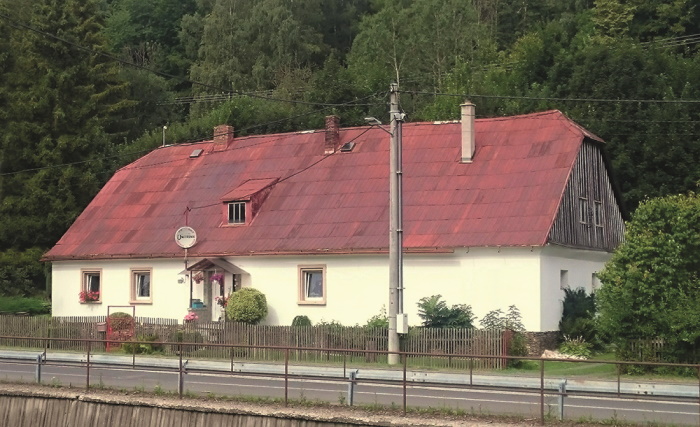
Basic types of towns. The towns in the territory of northern Moravia and Silesia can be divided according to type into the following groups: the oldest developmental towns, pre-colonial, with irregular soil (Opava, Krnov), towns founded in a planned manner in the colonization phase of the High Middle Ages, which are characterized by a rectangular plan of their core and a square (Bruntál, Horní Benešov, Hlučín) or the rectangular (Osoblaha, Bílovec, Klimkovice) shape of the square, towns formed from villages, lacking a central marketplace of urban character (Město Albrechtice, Slezská Ostrava, Rychvald), modern towns whose urban function was created in the context of industrialisation (Třinec), and towns planned partly or entirely according to a modern regulatory plan (Český Těšín, Havířov, Nový Bohumín, partly "new" Karviná and "new" Orlová).
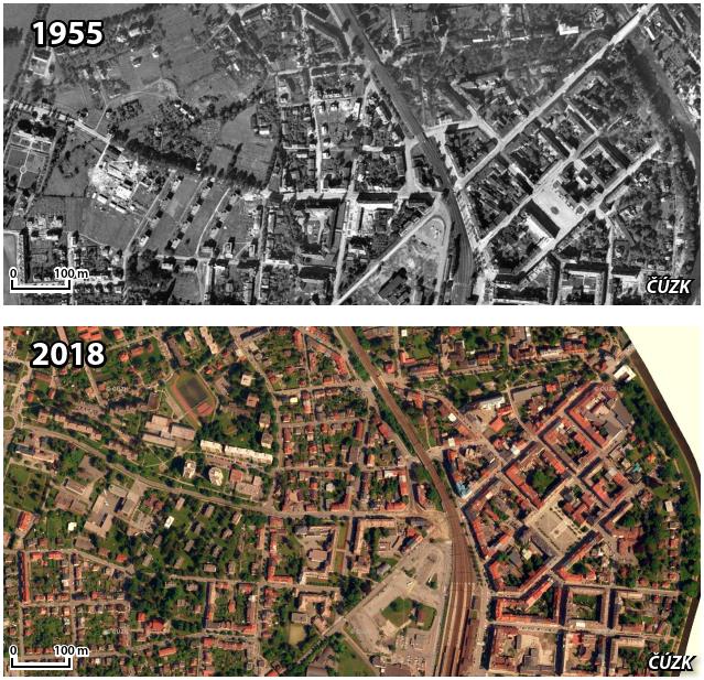
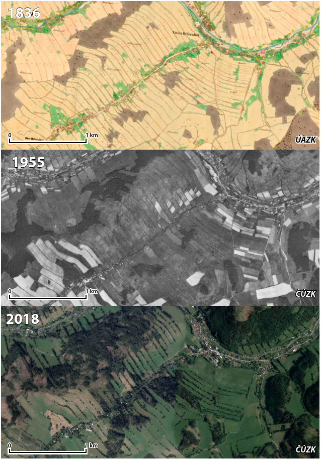
Development of buildings by area. The basis for examining the development of the built-up area are maps of stable cadastre from the years 1830-1840, Prussian military map from 1877, aerial photography from 1955 and regularly scanned colour orthophotomaps from the period after 2000.
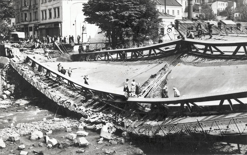
Jesenicko. The landscape of Jeseníky is not much affected by the onset of industrialisation, new manufacturing plants are mainly located in the towns. Krnov became the centre of industry and trade for the area in the second half of the 19th century. The laying out of a new road to Osoblaha and the construction of a railway junction in 1872 were of fundamental importance for the town. In addition to the factories, new residential districts developed on all sides of the inner town. Unfortunately, at the end of the Second World War the town was severely damaged. Only the trunk of the historic core remained, the work of destruction completed by socialist expansion. The outer residential districts were less disturbed, but the prefabricated housing did not follow the pre-war street network. Other towns were similarly destroyed at the end of the Second World War, perhaps most notably Osoblaha. The demolition of historic cores and insensitive new construction irreversibly damaged the settlements. In many of them, the central square disappeared and was replaced by a road junction (Andělská Hora), while others lost their town status due to population decline (Osoblaha). With the onset of industrialisation, the rural population is moving to the industrial centres in search of work and its numbers are beginning to decline. At the end of the 19th century, villages with an unfavourable population balance were the majority in Jeseniky. The worst decline occurred in the border districts, with only Krnovsko recording a favourable development. However, the rural population did not change substantially. The turning point came at the end of the Second World War with the displacement of the then predominantly German population. It was not possible to permanently repopulate the area with newcomers from other parts of the country and abroad (Romania, Ukraine); houses fell into disrepair, some villages disappeared, others persisted with a much lower population. Abandoned cottages are being used for recreational purposes, and the construction of cottages and company recreational facilities is being encouraged. Intensive agriculture is replaced by pastoral livestock farming in places with less favourable conditions, and sloping fields are overgrown with trees. Despite this, smaller and more remote settlements retain their original visual character, the division of fields is still clear, and valley villages remain as they are (Holčovice, Heřmanovice). In contrast, villages with good transport access to commuting centres are expanding into the landscape with flat houses.
Opava. The agricultural region of the Silesian Lowlands was increasingly influenced by Opava as an important regional centre. Although at the time of the onset of industrialisation Opava was economically behind Krnov, it was the administrative centre of Austrian Silesia and a town consisting of schools. Its urban development reached its peak around the turn of the 19th and 20th centuries, when, among other things, representative districts of tenement houses were created. In the 1920s, the development of the town continued with the construction of residential districts. However, the Opava region suffered greatly in the fighting of the so-called Ostrava Operation at the end of the Second World War and the town of Opava was 70% destroyed. Fortunately, the radical plan, which envisaged the redevelopment of the rest of the historic core, was not implemented, but many houses, especially Art Nouveau ones, were demolished in the following years. The post-war urbanisation did not respect the historical context, and in the 1970s and 1980s mainly prefabricated housing estates were built. The suburbs or the formerly independent village of Kateřinky were also overlaid with new buildings. The Opava region had also been marked by stagnation and population decline since the end of the 19th century, although to a lesser extent than Jesenicko. The villages, however, still retained their agrarian character in the 1950s and the distinctive features of concentrated villages with fields divided into thin strips. In the second half of the 20th century, due to the collectivisation of agriculture, the character of the landscape changed from a series of narrow fields to large meadows. The formerly neat, compact villages near Opava began to grow into the landscape (Otice, Slavkov, Kylešovice). Suburbanisation trends have intensified since 2000, but the more distant villages still retain their original character (Brumovice, Loděnice, Tábor).
Fryštát (Karviná) and Těšín. The eastern part of Czech Silesia has undergone the most rapid development since the beginning of industrialisation, mainly connected with coal mining and heavy industry. In the Ostrava, Bohumín and Fryštát regions, two-thirds of the villages have experienced explosive growth thanks, among other things, to immigration from Halych. In addition to the towns, villages within reach of employment opportunities are gaining in population. Irregular chain villages and scattered housing developments are beginning to thicken. The possibility of enjoying oneself other than by working in the fields has upset the agricultural tradition and social structure. A division of fields, unthinkable until then, occurred, as the yield from the harvest was only a supplement to the family income. The distribution of homesteads was mostly spontaneous and linked to local roads. Nevertheless, shortly after the Second World War it is still possible to observe considerable differences in the density of housing in the more rural parts of the area, especially near mines where mining colonies have proliferated (Rychvald, Petřvald, Orlová-Poruba) and in more remote locations where the housing is still relatively sparse (Střítež, Návsí, Vendryně). Since the second half of the 20th century, residential development has been thickening even outside the industrial centres and in most of the area it is losing its original character of a dispersed settlement and large distances between individual farmsteads and gradually covers almost the entire cadastre.
The landscape of Karviná has changed the most. As a result of mining activities and their consequences, parts of settlements (Orlová) or entire settlements (the original Karviná) have disappeared. The new Karviná began to be built as the first of the new settlements of Ostrava as early as 1947, when the satellite town of Stalingrad, later called Nové Město, with an axial boulevard of Osvobození Avenue, was founded north of Fryštát. As a result, the population grew from about 8,500 to about 27,800 between 1950 and 1961. As part of the controlled development of the fuel base, the first embryonic settlements of so-called two-storey houses began to be built within an accessible distance from the mines. In 1955 it was decided that the housing estates in Šumbark and Dolní Bludovice would be merged to form a new town, for which the name Havířov was chosen. The axis of its urban composition became the boulevard Hlavní třída, formerly the Těšín road.
According to a premeditated urban plan, much earlier, in the 1920s and 1930s, Český Těšín was built after Těšín was divided by the state border and its historical centre remained on the Polish side. The town centre was built. The Main Street and the main rectangular square with the town hall (1929) became the basis of the composition of the town, situated between the railway and the Olše River. The central part of the town was bounded to the south by today's Střelniční Street, but more loose suburban development continued further south between the railway and the river and also west of the railway. This part of the town is characterised by the trident of the Ostravská, Frýdecká and Jablunkovská roads, later supplemented by the road to Fryštát. An example of a village that became a town in 1930 is Třinec. The importance of the settlement grew thanks to the establishment of a metallurgical and ironworks complex in the late 1840s, which later became Třinec Ironworks.
2. SPATIAL-GEOGRAPHICAL CONTEXT
CONTENTS OF THE CHAPTER
2.1 Geology
Mgr. Lenka Jarošová, Ph.D. (SZM)
2.2 Geomorphology
Mgr. Lenka Jarošová, Ph.D. (SZM)
2.3 Waters
Mgr. Lenka Jarošová, Ph.D. (SZM)
2.4 Climate
Mgr. Lenka Jarošová, Ph.D. (SZM)
2.5 Vegetation
Mgr. Lukáš Číhal, Ph.D. (SZM)
2.6 Vegetation - non-native and invasive plants
Mgr. Lukáš Číhal, Ph.D. (SZM)
2.7 Companion (synanthropic) animals
Mgr. Martin Gajdošík, Ph.D. (SZM)
2.8 Invasive animal species
Mgr. Martin Gajdošík, Ph.D. (SZM)
2.9 Endangered and rare animals
Mgr. Martin Gajdošík, Ph.D. (SZM)
2.10 Immigrants
Mgr. Martin Gajdošík, Ph.D. (SZM)
2.11 Curiosities and rarities
Mgr. Martin Gajdošík, Ph.D. (SZM)
2.12 Returnees and disappeared
Mgr. Martin Gajdošík, Ph.D. (SZM)
Mgr. Lenka Jarošová, Ph.D. (SZM)
2.2 Geomorphology
Mgr. Lenka Jarošová, Ph.D. (SZM)
2.3 Waters
Mgr. Lenka Jarošová, Ph.D. (SZM)
2.4 Climate
Mgr. Lenka Jarošová, Ph.D. (SZM)
2.5 Vegetation
Mgr. Lukáš Číhal, Ph.D. (SZM)
2.6 Vegetation - non-native and invasive plants
Mgr. Lukáš Číhal, Ph.D. (SZM)
2.7 Companion (synanthropic) animals
Mgr. Martin Gajdošík, Ph.D. (SZM)
2.8 Invasive animal species
Mgr. Martin Gajdošík, Ph.D. (SZM)
2.9 Endangered and rare animals
Mgr. Martin Gajdošík, Ph.D. (SZM)
2.10 Immigrants
Mgr. Martin Gajdošík, Ph.D. (SZM)
2.11 Curiosities and rarities
Mgr. Martin Gajdošík, Ph.D. (SZM)
2.12 Returnees and disappeared
Mgr. Martin Gajdošík, Ph.D. (SZM)
2.1 Geology
Silesia is characterised by an extraordinary diversity of geological structure, as two large geological units - the Bohemian Massif and the West Carpathian Mountains - intersect here. This is linked to geological and mineralogical conditions. The Hercynian, or Variscan, mountain-building march, which took place approximately 380 to 300 million years ago, from the Upper Devonian to the Lower Permian, was of fundamental importance for the geological development of the Bohemian Massif. The best preserved remnant of the Variscan mountain range is the Bohemian Massif. The Variscan mountain-forming processes formed it into a solid unit that was not later folded and was gradually overlain by Mesozoic and Tertiary sediments. It acquired its present form in the Quaternary period, mainly due to glaciation and the subsequent formation of the river network.
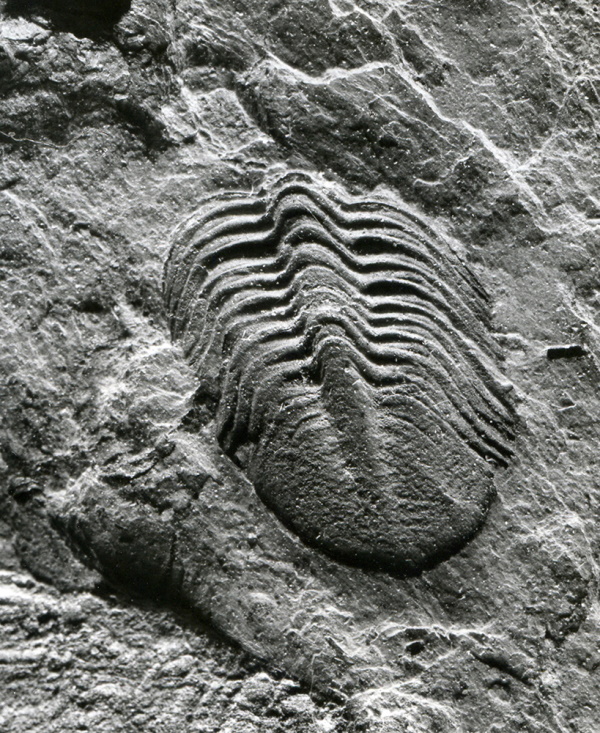
Proterozoic (ancient mountains). To this oldest geological period belong the varisci of strongly reworked rocks in the cores of vault structures or trusses in the metamorphic Silesian in the Rough Jeseník (Desen and Keprinic vault). Paleozoic (protohistoric). In the Moravian-Silesian region, Devonian mountains are widespread, which are exposed in numerous surface outcrops in the Rough and Low Jeseník. Interesting Devonian fauna comes from Chabičov and Horní Benešov.
In the Lower Carboniferous, marine sediments (Kulm facies) are completely predominant, while in the Upper Carboniferous, freshwater sediments predominate, which reflects climatic changes and the effects of mountain-forming movements of the Variscan folding. The Lower Carboniferous deposits are at their greatest extent in the Low Jeseník, where they are developed mainly in the shale and gravel or Kulm Formation. The sea was present in our area in the Lower Carboniferous about 340 million years ago. Marine fauna is relatively species-poor and has a similar composition in many localities (Zálužné, Nové Těchanovice, Lhotka). In the Upper Carboniferous, about 320 million years ago, the area of Moravia and Silesia became arid. A vast plateau was formed, which we now call the Upper Silesian Basin. At that time, the area was close to or right on the equator, the climate was humid and warm and the plateau was overgrown with vegetation. The Carboniferous forest was created, one of the most remarkable terrestrial eco-systems in the history of the Earth. Thanks to the warm and humid climate, the mass of Carboniferous plants gave rise to black charcoal with a wealth of plant and animal fossils.
Mesozoic. A remarkable period of the Mesozoic was the Upper Jurassic, 150 million years ago an organogenic reef developed in a shallow tropical sea, formed by massive, coiled shells of bivalves and corals (Kotouč near Štramberk).
Three Thorns. The sea, which last swept through Moravia and Silesia in the younger Tertiary, left fossils of various molluscs, but mainly complete fish skeletons, in the layers of clay sediments of the Opava Bay after its retreat 14-13 million years ago. The precipitation of mineral salts from the supersaturated sea water created gypsum deposits (Opava-Kateřinky, Kobeřice).
In the central part of the Low Jeseník lies a group of volcanoes that were active at the boundary between the Tertiary and Quaternary periods. The formation of the volcanic bodies during the Tertiary and Quaternary is related to the intense mountain-building activity of the Alpine folding in southern and eastern Europe. The volcanoes have the character of stratovolcanoes, i.e. mixed volcanoes (Velký Roudný, Uhlířský vrch, Mezina).
The quaternary began approximately 1.8 million years ago and is still ongoing. In the older Quaternary (Pleistocene), periods of warm climate cycled with periods of global cooling. During the glacial periods (glaciations), continental and mountain glaciers expanded and melted again during the warmer periods (interglacials). In Silesia and northern Moravia, continental glaciers encroached on the territory during two Ice Ages, which are classified as the Middle Pleistocene.
In Silesia there are minerals of igneous rocks and accompanying minerals formed from hot solutions (hydrothermal minerals), minerals of transformed (metamorphosed) rocks, minerals in sedimentary rocks and recent minerals, i.e. minerals formed in the present. The Opava meteoric irons are considered unique in the world; their uniqueness lies in the fact that they were found in 1925 in the context of a Palaeolithic settlement 18,000 years old. The discovery of several fragments of a stone meteorite in the village of Morávka in 2000 is also unique.
2.2 Geomorphology
The landscape of Silesia and the adjacent parts of northern Moravia is extremely varied, with different types of georelief, ranging from plains and lowland hills to the highlands of the Hrubý Jeseník Mountains and the Moravian-Silesian Beskydy Mountains. Three geomorphological provinces meet here: the Bohemian Highlands in the north-west and the Western Carpathians in the south-east, with a relatively small spur of the Central European Lowlands intervening in the north.
In addition to tectonic movements, volcanic activity at the boundary between the Tertiary and Quaternary periods contributed significantly to the development of the relief of the Silesian landscape. In terms of geomorphology, the Quaternary glaciation was crucial for the landscape of Silesia today, and it contributed significantly to the modelling of the terrain, as well as to the subsequent formation of the river network. The continental glaciation affected Silesia and northern Moravia during the Middle Pleistocene. After its retreat, powerful layers of clays, sands and gravels were left behind, which contain smaller pieces of Nordic rocks as well as stray boulders transported by the glacier over different distances. As a result of intensive frost weathering in the glacier foreland in the glacial period, the Jeseníky Mountains formed distinctive rock dominants, the so-called frost columns (Peter's Stones, Vozka, Giant Rocks and the top of Keprník). The freezing climate also contributed to the creation of specific landforms such as stone seas (Břidličná, Ztracené kameny, Suchý vrch) or frost-sorted soils on the hills. The direct action of the mountain glacier created the karst of the Great Basin, a unique location where avalanches still fall today and the remnants of snow stick in places until July. Due to the impermeability of the bedrock, peat bogs were created in the post-glacial period on Rejvíz and between Keprník and Vozka.
In addition to frost, numerous processes - water and wind erosion, floods, landslides and others - have contributed to the formation of the georelief. In addition to the shapes formed in the present climate, shapes formed in different conditions of past geological times have also been preserved. The relief is thus the result of the interaction of endogenous and exogenous geological processes in space and time. However, over the last few centuries, the original relief has been increasingly transformed by human activity, with its influence growing steadily. Since the beginning of the Holocene, man has increasingly altered the natural conditions of relief and landscape development. His activities have affected the landscape by directly or indirectly influencing natural geomorphological processes, by inadvertently creating surface shapes and by deliberately creating new shapes. Indirect impacts are caused by the disturbance of the balance of geosystems as a result of inappropriate economic activity (deforestation, logging and cultivation, land reclamation). The direct effects of man on the terrain include mainly shapes associated with his mining, industrial and agricultural activities (heaps, spoil heaps, quarries, subsidence sinkholes).
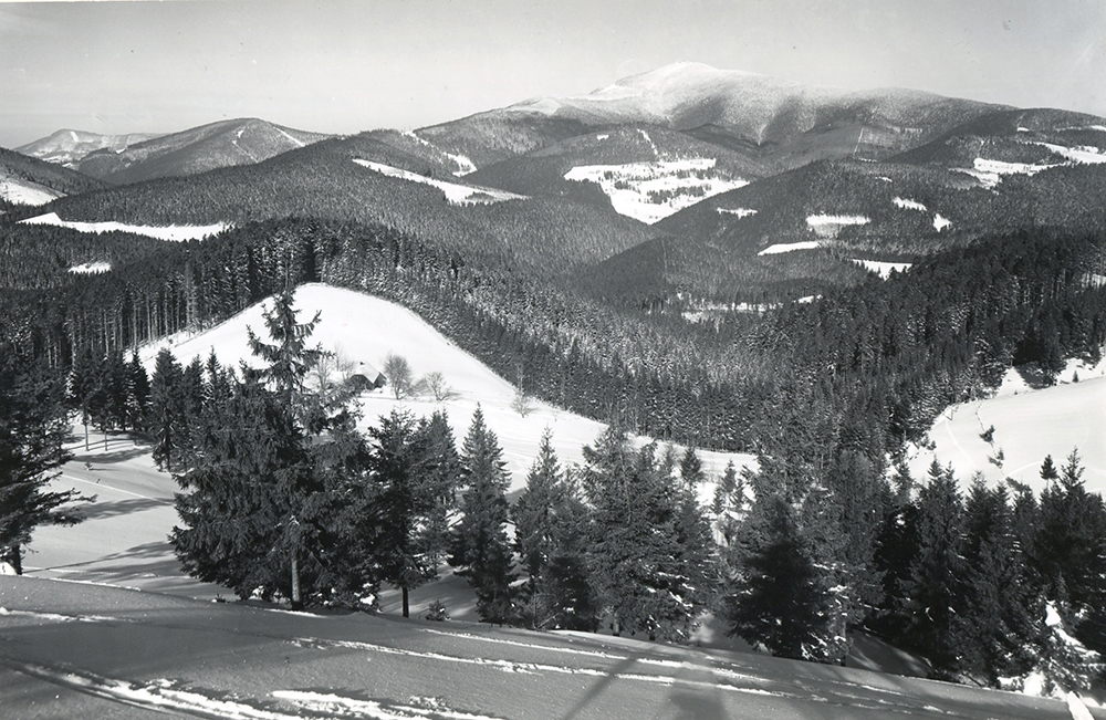
The Silesian landscape offers visitors a multitude of diverse geomorphological shapes, many of which are popular tourist destinations. In connection with the geomorphological development of the area, it is necessary to mention the existence of karst phenomena – caves are one of the frequently visited natural attractions. Significant karst phenomena have developed in the crystalline limestones on the north-eastern edge of the Hornolipovská Highlands. The Na Pomezí cave with its rich stalactite outcrop and rugged modelling is the largest karst cave in crystalline limestone in the Czech Republic. The remarkable marble karst with the Na Špičák Cave is located near the villages of Písečná and Supíkovice in the Jeseniky region. Although the cave's stalactite decoration was destroyed long before the cave was made accessible, the cave passages have a typical heart-shaped profile created by the meltwater of the continental glacier. Also remarkable are the pseudo-karst phenomena that occur in a small area near the village of Matějovice above Hrozová Stream (Matějovice Caves). On the other hand, the Beskydy pseudo-karst is one of the largest in the world in the sandstone category (Kněhyňská Cave, Ondráš Holes). Waterfalls are often formed in deep valleys of watercourses. Among the most beautiful ones are the Rešov waterfalls on Huntava River, the White Opava waterfalls (including the artificial waterfall in Karlova Studánka), the now partially High waterfall on Studený Stream or the Nýznerov waterfalls in the valley of Stříbrný Stream. The character of some valleys has been fundamentally changed by the construction of large water reservoirs, and the landscape of the Hrubý Jeseník was altered in an extraordinary way by the construction of the Dlouhé Stráně pumping station.
2.3 Waters
Water is extremely important in the landscape, and the relief of the landscape was also created by the significant contribution of flowing water. The river landscape is a set of ecosystems and their functioning is directly determined by the presence of the river in the landscape; human settlement in the past was also mainly concentrated along watercourses. Man began to harness the energy of water early on. With the development of industry and especially during industrialisation in the 20th century, rivers were often polluted. This has had an understandably major impact on the ecosystem of the watercourses, which form species-rich communities that are, however, very sensitive to water pollution and other inappropriate interventions. Given the importance of water in the landscape, due care is now being taken to protect it.
Ostravice is formed by the merger of the White and Black Ostravice. The White Ostravice, which is considered to be the source, rises in the locality of Bílá-Hlavatá. From the confluence with the Black Ostravice, the river continues under the name Ostravice. Before the construction of the dams, the Ostravice was one of the most divided streams in the Czech Republic and the course of floods here was often catastrophic. The Opava River originates from the confluence of the Middle and Black Opava Rivers in Vrbno pod Pradědem, with the Bílá Opava being another source river. The Opava has much more stable conditions than comparable streams on the Beskydy side of the basin. The Moravice rises in the Great Basin in the Praděd National Park and has the character of a mountain stream for almost its entire length. Its major tributary is the Hvozdnice River. The Olše River, as the only one of the five main streams of the basin, does not originate on Czech national territory, but on the territory of the neighbouring Republic of Poland; it enters the Czech Republic near the village of Bukovec.
Artificial water reservoirs were also created in Silesia. At first, ponds or entire systems of ponds (Jistebnice Ponds, Polanec Ponds and Svinov Ponds), later smaller reservoirs and large waterworks (Kružberk and Slezská Harta on the Moravice, Morávka on the Morávka, Šance on the Ostravica, Žermanice on the Lučina, Olešná on the Olešná and Těrlicko on the Stonávka). The reservoirs significantly influence the character of the stream on which they are located, both above and especially below the reservoir. Specific water bodies are sites subject to mining (artificial water lakes, flooded sinkholes and flooded quarries).
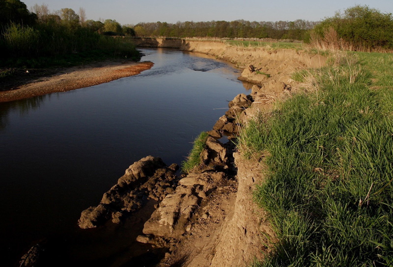
In floodplains of rivers and stream floodplains, or in places with impaired runoff and elevated groundwater levels, shallow water reservoirs and pools are created. Typical transitional habitats between aquatic and terrestrial ecosystems are wetlands, areas with land permanently or for a certain period of the year saturated or flooded with water. An important project that has restored areas and wetlands previously degraded by land reclamation to the Silesian landscape is the Cosmic Bird Meadows. Peat bogs are a special type of wetland, which are based on dead layers of mosses, especially peat bogs (Rejvíz).
Springs (both simple and mineral), streams and their floodplains, as well as wetlands are ecologically, geomorphologically and aesthetically valuable parts of the landscape, shape its typical appearance and contribute to maintaining its stability. Many watercourses have retained at least part of their original character and have become home to protected and endangered species of plants and animals. The river ecosystem has not always been treated responsibly by man, and inappropriate interventions have been made in many streams in the past. Fortunately, in recent years, there has also been thoughtful revitalisation of streams and their ecosystems.
2.4 Climate
The term climate or climate is generally understood as the long-term characteristic regime of atmospheric circulation. It is described by the average values of climatic variables (temperature, precipitation, etc.), the degree of their dispersion and variability, and other statistical data. The climate of the Czech Republic is characterised by the rare penetration and mixing of oceanic and continental influences. The coastal influence is manifested mainly in Bohemia, while in Moravia and Silesia there is an increasing number of continental climatic influences. Since climate is of major economic importance, especially for crop production, monitoring its evolution is important for society as a whole.
Air temperature. The northern peripheral parts and the Ostrava basin are the warmest in the Czech Silesia. Average annual temperatures here range from 8-9 °C. The coldest parts are the upper parts of the Hrubý Jeseník Mountains, where the average annual temperature drops below 2 °C (Praděd 1.1 °C). A simple continental wave is typical of the annual pattern, with the highest average temperature in July and the lowest in January, with August showing the absolute highest monthly average. Precipitation is characterised by considerable spatial and temporal variability. This is due to the interaction between the physical processes of their formation, atmospheric circulation and the geographical characteristics of the area. The intensity of precipitation is generally higher in summer than in winter. In terms of the geographical distribution of precipitation, the highest monthly, seasonal and annual totals are found in the upper parts of the Moravian-Silesian Beskids and the Hrubý Jeseník Mountains. Here, there is a so-called orographic intensification of precipitation, where the outgoing air currents intensify as they flow over the mountains and, under the right conditions, more precipitation is produced. For this reason, Lysá hora is the rainiest place in Moravia and Silesia. The wind conditions in Silesia are determined by its location in the area of the prevailing westerly flow. The direction and speed of the flow are influenced by the shape of the relief. Average wind speeds during the year are generally highest in December and January or March and April, with higher speeds from October to April than in other months.
Meteorological and hydrological stations in Silesia are managed by the branch of the Czech Hydrometeorological Institute in Ostrava, which also archives the results of their observations. Measurements have been made on Lysá hora since 1897. There is a long tradition of meteorological observations in the Jeseníky Mountains, where classical meteorological measurements were first carried out at mountain huts (Rabštejn Chalet, Alfréd's Cottage). In the Praděd area, the first continuous observation began in 1933 at Ovčárna and lasted until 1938. In the years 1941-1951 (with the exception of one year), observation was carried out at the stone tower of the lookout at the top of Praděd, and in later years at a separate meteorological station. However, the complex of buildings here negatively influenced the measurement results, so the original meteorological station on Praděd was replaced by the Šerák station in 2004.
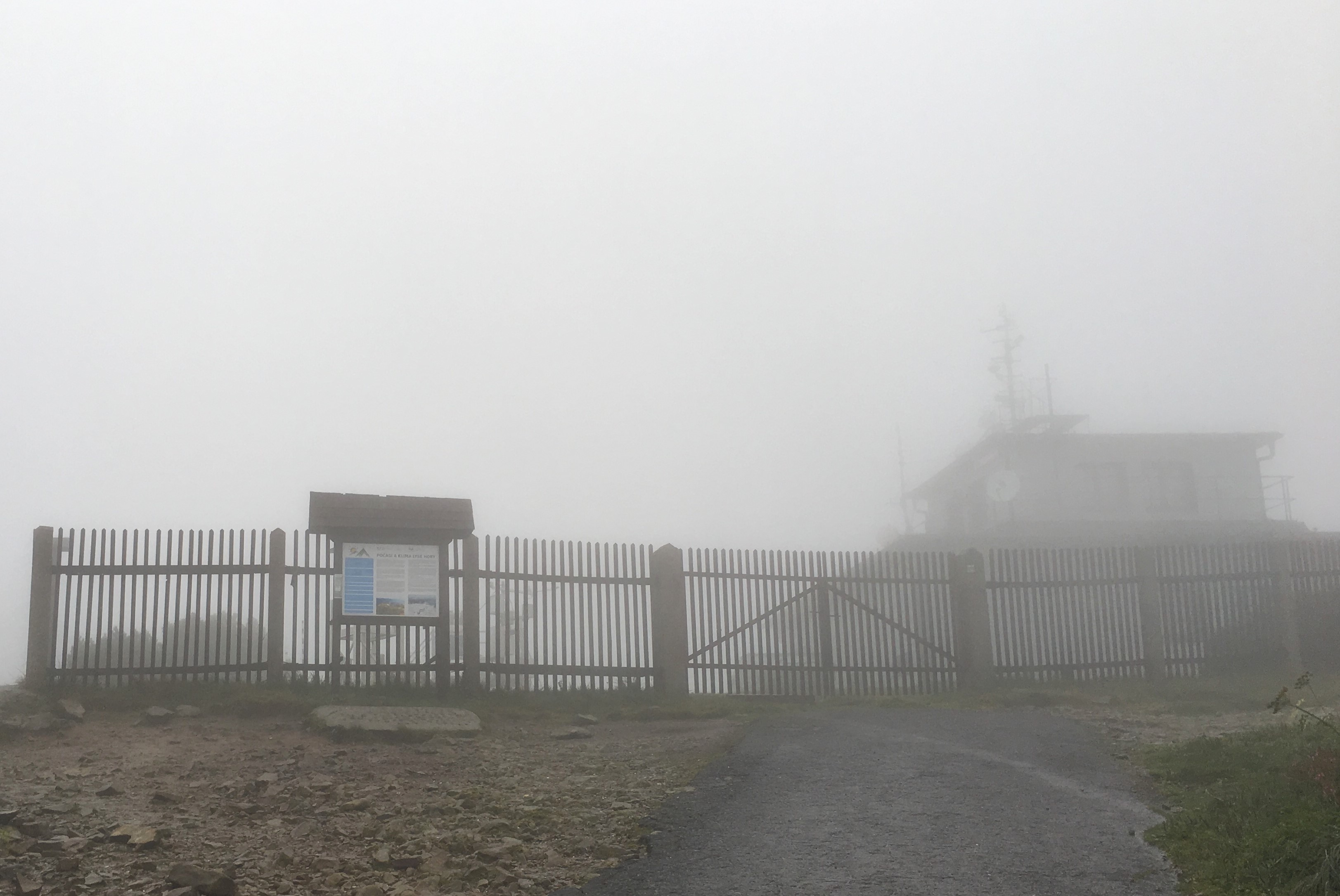
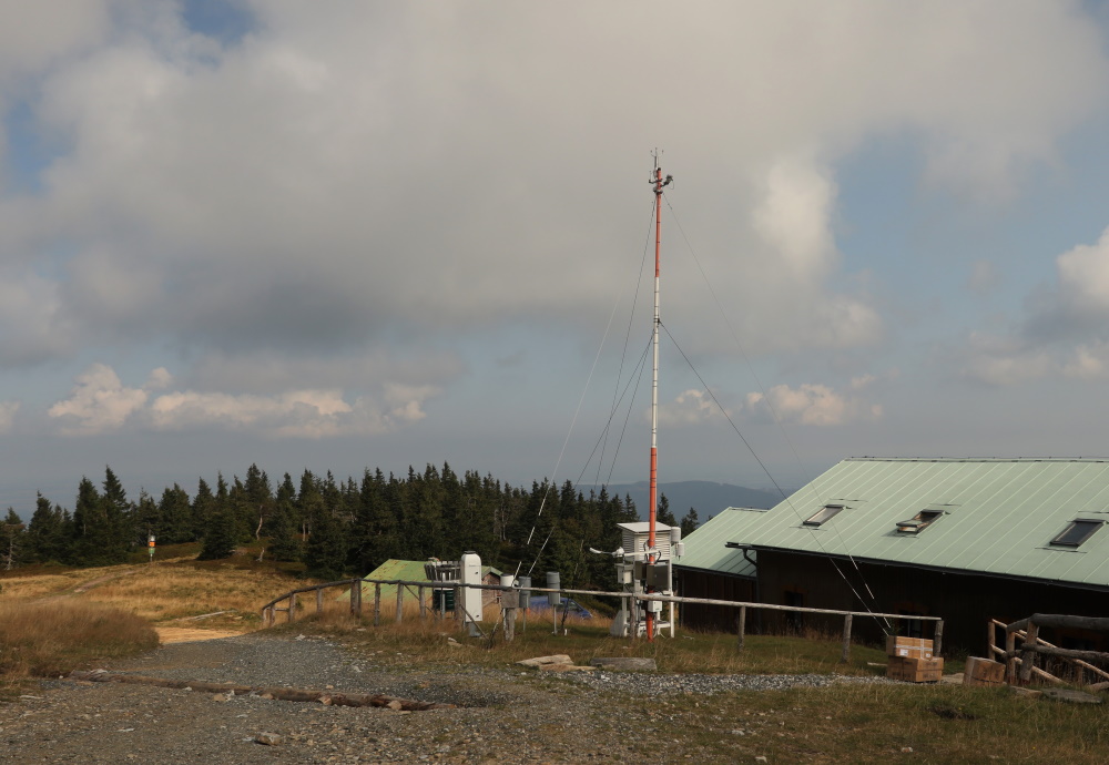
The further development of the climate, including hydrometeorological and geomorphological extremes in Silesia, will of course be significantly influenced by the development of the Earth's climate. In connection with the process of global warming we can observe a significant increase in extreme hydrometeorological phenomena.
2.5 Vegetation
Potential natural vegetation in the territory of Czech Silesia consists mainly of deciduous forests of various species, especially flowery beech forests, acidophilous beech forests, fir forests and wet beech forests in the territory of Ostrava. In the Opava region, oak woodlands and lime woodlands predominate. Less frequent communities include also shadeless oak forests and even rarer are oakforest woodrush or fir forests. In the Beskydy and Jeseníky Mountains, the potentially natural communities are mainly climax and wet spruce forests with smaller peat bogs. In the highest parts of the Jeseníky Mountains, these are subalpine and alpine communities. Along the watercourses, floodplain forests of ash and elm forests are potentially natural communities.
Since this time, when our territory was engulfed by the icy climate of the tundra zone, there has been a warming associated with the retreat of the glacier. This was, of course, associated with the migration of plant species that gradually became, and still are, part of our flora. In addition, the natural development of communities in the past and also today has been largely influenced by anthropogenic activity, which has greatly affected the occurrence of plant communities that would not have been present in the landscape without human influence. This has gone hand in hand with the spread of non-native and invasive species, which can cause a loss of species diversity or problems associated with their eradication. On the other hand, however, it is also the presence of grasslands, for example, which provide suitable habitat for a number of rare species.
Therefore, in order to list the most valuable territorial components of the plant communities in Czech Silesia, it is sufficient if we stick to the list of protected landscape areas, protected areas of conservation Jeseníky, Beskydy and Poodří protected areas. Then we can continue for smaller units of protected areas. Among the most important ones we can mention for example Radhošt', Mionší, Polanská Niva, Skalická Morávka, Rejvíz, Landek, Hněvošický háj and others.
The Beskydy Protected Landscape Area is mostly covered with forest vegetation, but unfortunately with overgrown cultural vegetation. Natural stands of flowery beech trees are preserved only sporadically at higher altitudes in Mazák, Radhošt' and Mazácký Grúnik. The non-forest vegetation is then mostly composed of meadow and wetland communities, oat-grass meadows at lower altitudes and former pastures at higher altitudes.
The development of the flora in the Jeseníky Protected Landscape Area is strongly influenced by the last ice age, when glaciers expanded and then retreated again. Although the glaciers have retreated, the high altitude and low temperatures in the Jeseníky Mountains have allowed the preservation of many relict plant species that still survive today. However, secondary spruce forests are still the predominant feature in places where beech forests should occur.
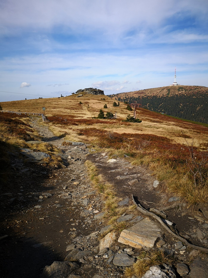
The main part of the Poodří Protected Landscape Area is formed by the unregulated part of the Odra River with its meanders, blind arms and islets. Most of the area is covered by wetland biotopes, however, floodplain forests are also a potential source of vegetation.
2.6 Vegetation - non-native and invasive plants
Non-native and invasive plant species have been with the human species for thousands of years, but nowadays, as we travel around the world, it is much more common for plants that would not be able to cross geographical and other barriers on their own to occupy new territories previously inaccessible to them. As far as the colonisation of the territory of the Czech Republic is concerned, it has always been and continues to be significantly influenced by its location in the centre of Europe, where a number of natural and man-made migration routes pass, which may facilitate their spread. On the other hand, it should also be added that the Czech Republic, like the rest of Europe, is a source of the spread of non-native plants rather than a recipient of them.
Non-native species in our flora can be further divided into archaeophytes and neophytes. The former, the archaeophytes, are often no longer even considered non-native; they even include stinging nettle (Urtica urens) or poppies (Papaver rhoeas), which few would say do not belong in our country. What is more, some of these species are even considered rare today, such as the field tail (Agrostemma githago). Archaeophytes are mainly associated with field crops and the spread of plants by farmers from the Middle East and Mediterranean regions. Unlike neophytes, these are plants introduced before the discovery of America by Christopher Columbus (the period up to 1500 is simplistically taken as the limit) and, as already mentioned, we would often not even say that archaeophytes are non-native plants, as they have usually been in nature for so long that they have found their place in it. Neophytes, on the other hand, are often plants that are invasive, can cause a lot of damage and can also spread uncontrolled and displace native species. Often these are plants that have been deliberately introduced, such as Heracleum mantegazzianum or Reynotruia. This process happens almost all the time and it is not uncommon for plants to spread from people's gardens where they are planted because they are often easy to grow, can withstand the winter and are also easy to propagate. In particularly dangerous invasions, the species can spread so uncontrollably that it disrupts entire communities and ecosystems, leading to widespread ecological, economic, social or health damage. The spread of non-native species also poses a risk in terms of biodiversity conservation, both at the species level and at the level of entire communities.
The most threatened places in the landscape are considered to be those sites that are influenced by human activity: roadsides, railway corridors, towns, or places generally disturbed in some way. It is also common to spread along riverbeds and streams, which can serve as good pathways for the spread of some species of invasive plants. As far as the landscape of Silesia is concerned, we encounter various specifics. First of all, there are phenomena such as places affected by mining activities, tailings, land subsidence or heaps.
According to the Agency for the Protection of Nature and Landscape of the Czech Republic, out of a total of 1,454 non-native plant species found in the Czech Republic, 61 can be considered invasive, with 20 species being the most important ones. Specifically, these are Ambrosia artemisiifolia, Heracleum mantegazzianum, Pinus strobus, Acer negundo, Reynoutria bohemiana and Reynoutria bohemika, Reynoutria japonica, Reynoutria sachalinen sis, Lycium barbarum, Amaranthus retroflexus, Impatiens parviflora, Impatiens glandulifera, Ailanthus altissima, Galinsoga parviflora, Prunus serotina, Helianthus tuberosus, thistle (Robinia pseudacacia), thistle (Rudbeckia laciniata), lupine (Lupinus polyphyllus), Canadian goldenrod (Solidago canadensis) and tall goldenrod (Solidago gigantea). For the selected invasive plants, we present their occurrence based on data from the records database (AOPK 2018).
2.7 Companion (synanthropic) animals
Man has been interfering in the development of natural conditions since the end of the last ice age. Warming has allowed a transition to pastoral farming and agriculture, which have changed the landscape. The most significant change has been deforestation. The first synanthropes came with the farmers. In the following centuries, transportation and the subsequent spread of other species gradually developed. Synanthropic species are those that use human settlements for all or part of their life cycle.

2.8 Invasive animal species
Invasive species are human-introduced non-native species that are so successful in their non-native habitat that they disrupt entire native ecosystems or threaten the survival of populations of native species. Their spread may occur both intentionally and unintentionally by so-called introduction. They are on the opposite side of the conservation spectrum to species that are endangered and dangerous for nature.
We must not forget also the species that have been introduced with the transfer of materials (especially invertebrates, for example the Spanish slug) and other commodities (for example the stone moroko). In Silesia, from invasive vertebrate species, we encounter 2 species of fish (Stone moroko, Prussian carp), 1 species of reptile (red-eared slider), 1 species of bird (Egyptian geese) and 5 species of mammals (raccoon, American mink, raccoon dog, muskrat and coypu), while the occurrence of sika deer is only a matter of time, the northern Moravian population of which arose around the end of World War II between Zábřeh, Litovel and Svitavy. The pumpkinseed sunfish is also documented from nearby Central Moravia (Tovačov Lakes in Olomouc), and although it is not expected to increase in abundance or range in our area, this fish is able to inhabit small water reservoirs where it escapes attention. In addition, it is an easily breedable and attractive species, so irresponsible breeders can also introduce it in Silesia in the future.

2.9 Endangered and rare animals
The most serious factor currently threatening the existence of many species of vertebrate animals is human influence. Disturbance of the original environment has the most serious consequences for stenoenic species, which have perfectly adapted to life in conditions of specific habitats. In addition, large, long-lived and slowly reproducing species (so-called K-strategy) and species with few or endemic numbers are increasingly at risk.

2.10 Immigrants
Non-native species are those that will spread outside their original area. This can happen naturally or with human help. An artificial expansion is referred to as an introduction. Humans distribute alien species either intentionally or unintentionally (so-called introduction). Many deliberately introduced species are man-made species. In the case of plants, we refer to such species as cultural species, in the case of animals as domesticated species.

2.11 Curiosities and rarities
Due to its location Silesia is an important migration crossroads for many interesting animals. The area is an important link between the Central Polish lowlands and the Western Pannonian Basin. Thousands of years of history, the alternation of ice ages with interglacial periods and human activity have created an environment inhabited by a number of unique species. Some of them have their largest Czech populations here, others are not found elsewhere in the Czech Republic.

2.12 Returnees and disappeared
Many species of plants and animals were exterminated by human activities in the past, and unfortunately this process continues today. More and more species are disappearing from the surface of our planet. Although extinctions took place in the history of the Earth even before without human contribution, it was due to humans that the number of affected species increased rapidly and, above all, the processes of their extinction accelerated unequivocally.

3. LANDSCAPE
CONTENTS OF THE CHAPTER
3.1 Natural landscape
Mgr. Lenka Jarošová, Ph.D. (SZM)
3.2 Czech Silesia on the First, Second and Third Military Mapping
RNDr. Renata Popelková, Ph.D. (OU)
3.3 Digital model of the relief of area of interest
RNDr. Renata Popelková, Ph.D. (OU)
3.4 Typology of the cultural landscape of Czech Silesia and its elements
RNDr. Renata Popelková, Ph.D. (OU), Mgr. Lenka Jarošová, Ph.D., Mgr. Martin Gajdošík, Ph.D. (SZM)
3.5 Character of settlement of Czech Silesia
doc. PhDr. Petr Popelka, Ph.D. (OU)
3.6 Formation of the Ostrava settlement agglomeration
doc. PhDr. Petr Popelka, Ph.D. (OU)
3.7 War traces in the Silesian landscape
Mgr. Jana Horáková (SZM)
3.8 Steel Heart of the Republic 1948–1989
doc. PhDr. Petr Popelka, Ph.D. (OU)
3.9 Lost identity of the settlement space in the 20th century
doc. PhDr. Petr Popelka, Ph.D. (OU), Mgr. Lenka Jarošová, Ph.D. (SZM)
3.10 Silesian countryside
doc. PhDr. Petr Popelka, Ph.D. (OU), Mgr. Lenka Jarošová, Ph.D. (SZM)
3.11 Meadows and pastures
Mgr. Lenka Jarošová, Ph.D. (SZM), doc. PhDr. Petr Popelka, Ph.D. (OU)
3.12 Gardens and orchards
Mgr. Lenka Jarošová, Ph.D. (SZM), doc. PhDr. Petr Popelka, Ph.D. (OU)
3.13 Forest landscapes
Mgr. Lenka Jarošová, Ph.D. (SZM), doc. PhDr. Petr Popelka, Ph.D. (OU)
3.14 Forestry Landscapes
Mgr. Lenka Jarošová, Ph.D. (SZM), doc. PhDr. Petr Popelka, Ph.D. (OU)
3.15 Forests at Risk
Mgr. Lenka Jarošová, Ph.D. (SZM), doc. PhDr. Petr Popelka, Ph.D. (OU)
3.16 Urban Parks
doc. PhDr. Pavel Šopák, Ph.D. (SZM)
3.17 Chateau Parks
doc. PhDr. Pavel Šopák, Ph.D. (SZM)
3.18 Tree rows, avenues and memorial trees
Mgr. Lenka Jarošová, Ph.D. (SZM), doc. PhDr. Petr Popelka, Ph.D. (OU)
3.19 Water and Humans
Mgr. Lenka Jarošová, Ph.D. (SZM)
3.20 Mineral Water
Mgr. Lenka Jarošová, Ph.D. (SZM)
3.21 Dams in Silesia
doc. PhDr. Pavel Šopák, Ph.D. (SZM)
3.22 Industrial and Post-Industrial Landscape
doc. PhDr. Petr Popelka, Ph.D. (OU)
3.23 Industrial Landscape – The Model Example of Vítkovice
doc. PhDr. Petr Popelka, Ph.D. (OU)
3.24 Stone Mining
Mgr. Lenka Jarošová, Ph.D. (SZM), doc. PhDr. Petr Popelka, Ph.D. (OU), RNDr. Renata Popelková, Ph.D. (OU)
3.25 Ore Mining
Mgr. Lenka Jarošová, Ph.D. (SZM), doc. PhDr. Petr Popelka, Ph.D. (OU), RNDr. Renata Popelková, Ph.D. (OU)
3.26 Coal Mining
Mgr. Lenka Jarošová, Ph.D. (SZM), doc. PhDr. Petr Popelka,Ph.D. (OU), RNDr. Renata Popelková, Ph.D. (OU)
3.27 Undermined Landscape
Mgr. Lenka Jarošová, Ph.D. (SZM), doc. PhDr. Petr Popelka, Ph.D. (OU), RNDr. Renata Popelková, Ph.D. (OU)
3.28 Undermined Landscape – Reclamation
Mgr. Lenka Jarošová, Ph.D. (SZM), doc. PhDr. Petr Popelka, Ph.D. (OU), RNDr. Renata Popelková, Ph.D. (OU)
3.29 Transport Development – Road Network
doc. PhDr. Petr Popelka, Ph.D. (OU)
3.30 Transport Development – Railways
doc. PhDr. Petr Popelka, Ph.D. (OU)
3.31 Development of Transport – Aviation
doc. PhDr. Pavel Šopák, Ph.D. (SZM)
3.32 Natural Extremes and Their Impacts
Mgr. Lenka Jarošová, Ph.D. (SZM)
3.33 Current Natural and Anthropogenic Processes in the Landscape
Mgr. Lenka Jarošová, Ph.D. (SZM), doc. PhDr. Petr Popelka, Ph.D. (OU)
3.34 Return to Nature – Mountain Tourism
Mgr. Lenka Jarošová, Ph.D. (SZM), doc. PhDr. Petr Popelka, Ph.D. (OU)
3.35 Return to Nature – Recreation and Sport
Mgr. Lenka Jarošová, Ph.D. (SZM), doc. PhDr. Petr Popelka, Ph.D. (OU)
Mgr. Lenka Jarošová, Ph.D. (SZM)
3.2 Czech Silesia on the First, Second and Third Military Mapping
RNDr. Renata Popelková, Ph.D. (OU)
3.3 Digital model of the relief of area of interest
RNDr. Renata Popelková, Ph.D. (OU)
3.4 Typology of the cultural landscape of Czech Silesia and its elements
RNDr. Renata Popelková, Ph.D. (OU), Mgr. Lenka Jarošová, Ph.D., Mgr. Martin Gajdošík, Ph.D. (SZM)
3.5 Character of settlement of Czech Silesia
doc. PhDr. Petr Popelka, Ph.D. (OU)
3.6 Formation of the Ostrava settlement agglomeration
doc. PhDr. Petr Popelka, Ph.D. (OU)
3.7 War traces in the Silesian landscape
Mgr. Jana Horáková (SZM)
3.8 Steel Heart of the Republic 1948–1989
doc. PhDr. Petr Popelka, Ph.D. (OU)
3.9 Lost identity of the settlement space in the 20th century
doc. PhDr. Petr Popelka, Ph.D. (OU), Mgr. Lenka Jarošová, Ph.D. (SZM)
3.10 Silesian countryside
doc. PhDr. Petr Popelka, Ph.D. (OU), Mgr. Lenka Jarošová, Ph.D. (SZM)
3.11 Meadows and pastures
Mgr. Lenka Jarošová, Ph.D. (SZM), doc. PhDr. Petr Popelka, Ph.D. (OU)
3.12 Gardens and orchards
Mgr. Lenka Jarošová, Ph.D. (SZM), doc. PhDr. Petr Popelka, Ph.D. (OU)
3.13 Forest landscapes
Mgr. Lenka Jarošová, Ph.D. (SZM), doc. PhDr. Petr Popelka, Ph.D. (OU)
3.14 Forestry Landscapes
Mgr. Lenka Jarošová, Ph.D. (SZM), doc. PhDr. Petr Popelka, Ph.D. (OU)
3.15 Forests at Risk
Mgr. Lenka Jarošová, Ph.D. (SZM), doc. PhDr. Petr Popelka, Ph.D. (OU)
3.16 Urban Parks
doc. PhDr. Pavel Šopák, Ph.D. (SZM)
3.17 Chateau Parks
doc. PhDr. Pavel Šopák, Ph.D. (SZM)
3.18 Tree rows, avenues and memorial trees
Mgr. Lenka Jarošová, Ph.D. (SZM), doc. PhDr. Petr Popelka, Ph.D. (OU)
3.19 Water and Humans
Mgr. Lenka Jarošová, Ph.D. (SZM)
3.20 Mineral Water
Mgr. Lenka Jarošová, Ph.D. (SZM)
3.21 Dams in Silesia
doc. PhDr. Pavel Šopák, Ph.D. (SZM)
3.22 Industrial and Post-Industrial Landscape
doc. PhDr. Petr Popelka, Ph.D. (OU)
3.23 Industrial Landscape – The Model Example of Vítkovice
doc. PhDr. Petr Popelka, Ph.D. (OU)
3.24 Stone Mining
Mgr. Lenka Jarošová, Ph.D. (SZM), doc. PhDr. Petr Popelka, Ph.D. (OU), RNDr. Renata Popelková, Ph.D. (OU)
3.25 Ore Mining
Mgr. Lenka Jarošová, Ph.D. (SZM), doc. PhDr. Petr Popelka, Ph.D. (OU), RNDr. Renata Popelková, Ph.D. (OU)
3.26 Coal Mining
Mgr. Lenka Jarošová, Ph.D. (SZM), doc. PhDr. Petr Popelka,Ph.D. (OU), RNDr. Renata Popelková, Ph.D. (OU)
3.27 Undermined Landscape
Mgr. Lenka Jarošová, Ph.D. (SZM), doc. PhDr. Petr Popelka, Ph.D. (OU), RNDr. Renata Popelková, Ph.D. (OU)
3.28 Undermined Landscape – Reclamation
Mgr. Lenka Jarošová, Ph.D. (SZM), doc. PhDr. Petr Popelka, Ph.D. (OU), RNDr. Renata Popelková, Ph.D. (OU)
3.29 Transport Development – Road Network
doc. PhDr. Petr Popelka, Ph.D. (OU)
3.30 Transport Development – Railways
doc. PhDr. Petr Popelka, Ph.D. (OU)
3.31 Development of Transport – Aviation
doc. PhDr. Pavel Šopák, Ph.D. (SZM)
3.32 Natural Extremes and Their Impacts
Mgr. Lenka Jarošová, Ph.D. (SZM)
3.33 Current Natural and Anthropogenic Processes in the Landscape
Mgr. Lenka Jarošová, Ph.D. (SZM), doc. PhDr. Petr Popelka, Ph.D. (OU)
3.34 Return to Nature – Mountain Tourism
Mgr. Lenka Jarošová, Ph.D. (SZM), doc. PhDr. Petr Popelka, Ph.D. (OU)
3.35 Return to Nature – Recreation and Sport
Mgr. Lenka Jarošová, Ph.D. (SZM), doc. PhDr. Petr Popelka, Ph.D. (OU)
3.1 Natural landscape
The natural landscape no longer exists on the territory of our republic. Areas without visible human presence are also very rare in the world. Protected landscape areas are closest to the natural landscape. The aim of the protected landscape area is to protect the landscape, its appearance and its typical features in such a way that these values create a balanced environment and that the natural heritage can be passed on to future generations in the best possible condition. On the territory of Silesia, there are three such areas – the Beskydy, Jeseníky and Poodří Protected Landscape Areas.
The Poodří Protected Landscape Area is a 34 km long strip of lowland and hilly terrain around the Odra River in Oder Gate. This territory is particularly exceptional due to the preservation of the water regime. The Odra River creates meanders here, which are permanently shut down in the simultaneous emergence of new meanders. This creates a unique network of old arms and meanders, supplemented by a system of ponds and drainage ditches. The Oder valley floodplain is also a natural protection of the built-up area against floods, mainly by slowing down the runoff in the meandering stream and spilling into the undeveloped floodplain. The hydrological regime of the Odra River naturally affects wetland ecosystems with rare communities of invertebrates and vertebrates specific to wetland habitats. Despite the pollution The Odra river basins can still cope with it relatively well with their high self-cleaning capacity.
Naturally, the landscape character of all three Protected Landscape Areas was and is influenced by direct or indirect human behavior, farmland management, forest management, extraction and processing of mineral resources, construction, recreational and sports activities, etc.The protection of the natural and cultural heritage of these beautiful areas of Silesia is still very acute.
The Hrubý Jeseník Mountains, which is the core of the Jeseníky Protected Landscape Area, are among the three mountains in the Czech Republic that reach heights above the upper border of the forest (the so-called alpine forest); at the same time it is the easiest Protected Landscape Area in our country. Forestry here reaches 80% and apart from spruce forests, the fragments of beech forests are preserved. The Jeseníky Mountains originally did not have a forest, which is why a unique forest boundary developed at reminiscent of the landscaping. Water plays an important role in the landscape. Although the water areas constitute a small proportion of the Jeseníky Protected Landscape Area, the whole area has been declared a protected area of natural water accumulation. In nature reserves there are many peat bogs (Rejvíz, Skřítek) and water springs gave rise to traditional spa resorts (Karlova Studánka, Jeseník, Lipová-lázně). The construction of the Dlouhé Stráně pumped storage power plant had a major impact on the local landscape. The most valuable areas of the protected landscape area are protected in 4 national nature reserves (Praděd, Šerák-Keprník, Rejvíz, Rašeliniště Skřítek), 1 national natural monument (Maple Hill), 19 nature reserves and 7 natural monuments. There are rare species of plants and animals, in addition to glacial relicts, there are also several endemic species occurring only in the Jeseníky Mountains. A unique location of European significance is the Great Basin in Praděd National Nature Reserve. There are also historical remains of mining in the area of the Protected Landscape Area; the abandoned tunnels are a technical monument and also serve as wintering grounds for flying animals. Protecting cultural heritage, including folk architecture, is also the mission of Jeseníky Protected Landscape Area. The result of the historical coexistence of humans with this landscape is also its aesthetic value and diversity, which attracts recreational use.
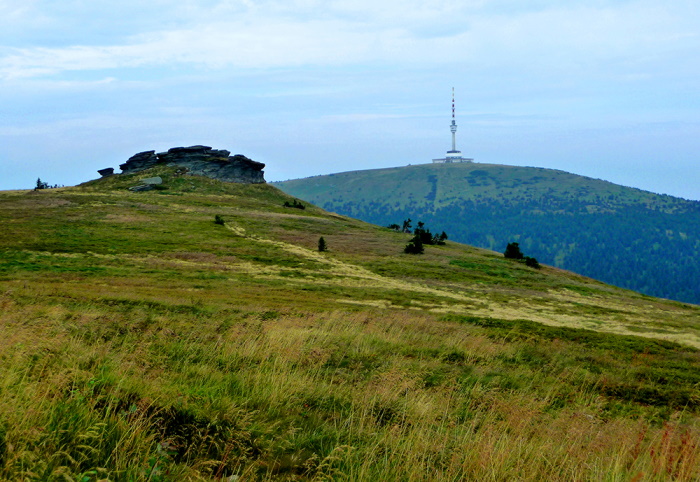
3.2 Czech Silesia on the First, Second and Third Military Mapping
A number of typologically different historical sources are offered for use in landscape research in the past. The most valuable are undoubtedly military mappings of the 18th and 19th centuries. The tragic failure of the Habsburg monarchy in the Silesian wars initiated systematic mapping in the monarchy, which would be usable for military purposes. The so-called First Military Mapping was carried out in its first phase in 1763–1768, while the strategically important territory of Austrian Silesia was mapped first and best, in the initial period 1763–1764. 40 sheets of the military map were created. However, errors in the joining of the partial map sections and the allegedly unsatisfactory depiction of the terrain forced a major revision, during which thirty new map sheets were produced between 1780 and 1783, while the remaining 10 original sections were corrected. The result was a military map on a scale of 1 : 28,800 (in the case of Silesia, however, the scale of the new map sheets 1 is given: 30,746) with valuable comments. These more closely characterize the landscape in terms of its military use (e.g. information on roads, crossings of watercourses, but also on accommodation and supply possibilities). Unlike the Czech Republic and Moravia, only tabular reports without continuous comments are known for the map sections of Silesia. The originals of the handmade map sections of the first military mapping are stored in the Österreichisches Staatsarchiv Wien, while copies of maps relating to the Czech lands are available in the National Archives in Prague.
But soon – at the end of the 18th and early 19th centuries – the first military mapping did not meet the contemporary requirements for the accuracy of the state map work. Therefore, in 1806, by the decision of Franz I, astronomical and geodetic measurements were started with the aim of building a trigonometric network. The subsequent mapping work brought on the one hand very detailed cadastral maps on a scale of 1 : 2,880 and subsequently also maps of the so-called second military mapping (so-called Františkovo) on a scale of 1 : 28,800. Militarily sensitive places (especially the surroundings of large cities) were again mapped on a double scale (1 : 14,400). Military mapping of Czech lands did not take place until the 1830’s and 1840’s, already on the basis of cadastral trigonometric networks. The area of Moravia and Silesia was mapped in this way from 1836–1840. In terms of monitoring the development of the landscape, the second military mapping is very appropriate, for several reasons. It complies with both its scale and positional accuracy. In addition, the second military mapping (as well as the imperial map imprints of the stable cadastre) captures the landscape in the breakthrough period of the onset of modernization trends related to the industrial revolution and the structural transformation of society as a whole.
The war experience from the Prussian-Austrian War of 1866, when in some cases several decades old maps were available, gave rise to the creation of updated and refined military maps. In 1869, the Third Military Mapping was launched, the results of which until the mid-20th century constituted the only continuous topographical work in our territory. The area of Silesia and Eastern Moravia was newly mapped in 1876, the rest of the Czech lands by 1879. For the mapping, the so-called simple scale in the decadic system was chosen (with the assumption of the early introduction of the metric measure) with a reduction ratio of 1 : 25,000, for military-sensitive locations, the scale has been doubled. The graphical layout was a reduced drawing of cadastral maps from a scale of 1: 2,880 to 1 : 25,000.
On the basis of the Saint-Germain Peace Treaty, all originals of topographical sections for the territory of Czechoslovakia were handed over to the Military Geographical Institute in Prague. For a long time the maps were unknown, only in the 1990s a large part of the file was discovered, digitized and placed on the website by the Laboratory of Geoinformatics of J. E. Purkyně University using the Zoomify application. Maps of the Third Military Mapping remained official maps of Czechoslovakia even after World War II, replaced only in 1956 by new military topographical maps. The maps of the third military mapping enable the identification of landscape features corresponding to the scale and the corresponding comparison.
After the establishment of Czechoslovakia, a military topographic service was established at the Ministry of National Defense of the Czechoslovakia. In October 1919, the Czechoslovak Military Geographical Institute was established in Prague. These files were taken over from the Military Geographical Institute in Vienna by all topographical maps from the territory of the Czechoslovak Republic and started their maintenance and reconstruction immediately. In 1926, there was launched work on the preparation of a new topographical work, which was to replace the maps of the third military mapping. However, the new mapping proceeded very slowly and by 1938 only 3 % of the territory of Czechoslovakia had been processed.
After World War II (1947), the Ministry of National Defense decided to move definitively from special maps 1 : 75,000 to topographical maps on a scale of 1 : 50,000. In 1953, there was a completion of the elaboration and publication of so-called interim topographical maps on a scale of 1 : 50,000 and 1 : 100,000. The new topographical mapping, the results of which are still used today, took place in 1953–1957. This excellent achievement was achieved mainly through the maximum use of aerial photogrammetry and cooperation between the military and civil surveying services. A total of 1736 map sheets were processed and issued at that time at a scale of 1 : 25000. A key was used, which was uniformly introduced within the framework of the Warsaw Treaty. The processing of these topographical maps was continuously followed by the processing of topographical maps of smaller scales, which were derived from them by cartographical generalization. They were maps on a scale of 1 : 50,000 1 100,000 (issued before 1960) and 1 : 200,000 (issued by 1965).
These military maps provide a large amount of information about the landscape in the past, with the advantage of comparability between them. The first military mapping is particularly suitable for visual interpretation, as it cannot be used with sufficient accuracy for GIS analyses. On the contrary, the Second and Third Military Mapping, as well as topographical maps from the 1950s, can be analyzed very accurately. Thanks to this, we can find out exactly what has happened to the Silesian landscape in the last two centuries.
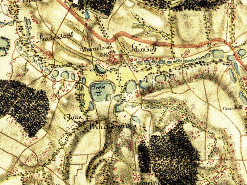
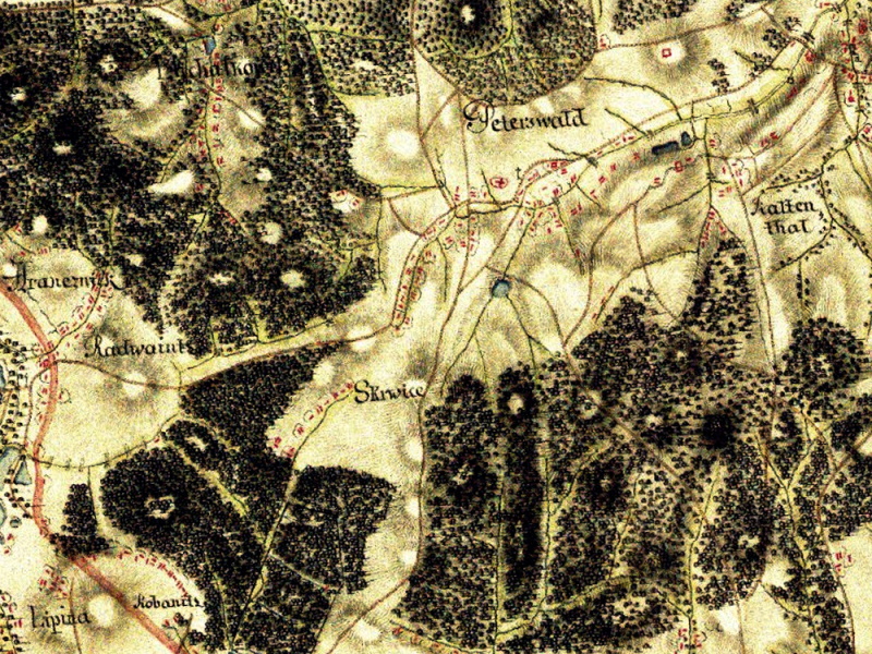
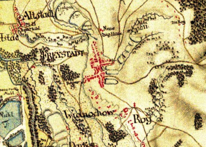
3.3 Digital model of the relief of area of interest
The use of digital relief models (DRM) is currently quite extensive. It is used as a basis for different thematic layers. It is often the basis under a partially transparent aerial or satellite image. The digital relief model is also used in the field of landscape care and protection, for spatial planning (e.g. planning of new buildings) and the like. The use of a DRM is also important in the field of modelling or simulation of anthropogenic and natural phenomena (e.g. floods). A high-quality and well-executed visualization of DRM is a suitable aid for various landscape decisions.
After generating the digital relief model of the area of interest, a check should be carried out. The detected errors are corrected by editing the DRM. The created DRM can be further analyzed and a whole range of necessary information can be obtained about it. Volumetric calculations are used, for example, to calculate the volume of water in a reservoir, the volume of landfill, the volume of a mineral deposit. Visibility analyses track the area visible from a specified location, the area of signal coverage from the transmitter, etc. When studying landscapes, DRM should be used especially in rugged areas with large differences in elevation. In addition to the use of land or landscape cover (e.g. in the area of landscape planning), DRMs are often applied to determine various terrain characteristics (e.g. slope length, slope inclination, orientation). By using DRM it is also possible to model floods, slope deformations, landslides, water erosion and others.
Appropriate visualization of the created DRM plays an important role in landscape decision-making (e.g. landscape planning, protection and landscape care). A common type of visualisation is a DRM plot colored according to altitude (e.g. a color scale from green for low altitude values through yellow and brown to white for mountain peaks). In order to create a realistic view of the terrain, the shaded relief method can be used, which is often used as a background (e.g. displayed under a partially transparent DRM colored according to elevation or under partially transparent aerial or satellite imagery). The shaded relief is created by hypothetical illumination of the relief from the northwest, so that shadows are cast behind the object (e.g. behind a mountain). When using the image in the form of a shaded relief, we perceive the created model plastically. Both of the above mentioned techniques (elevation-weighted DRM and the shaded relief method) were used in the creation of the DRM of Czech Silesia.
In order to create a map with DRM of Czech Silesia, data from the Digital Relief Model of the Czech Republic of the 5th generation (DRM 5G) were used. The DRM 5G is a digital representation of the natural or man-made land surface in the form of heights of discrete points in an irregular triangular grid of points with X, Y and H coordinates, where H represents the elevation above sea level in the Balt height reference system after levelling (Bpv) with a full mean height error of 0.18 m in exposed terrain and 0.3 m in forested terrain. The model was created from the data obtained by the method of aerial laser scanning of the elevation of the Czech Republic between 2009 and 2013. It was completed on 30 June 2016 throughout the Czech Republic. Aerial laser scanning is a modern method of mass collection of highly accurate three-dimensional data on objects and phenomena on the Earth's surface. Large amounts of points thus obtained are called “point clouds.” In order to create the DRM 5G, the acquired data went through automatic filtration and detailed manual control and editing.
In addition to the DRM, it is possible to create a digital surface model for the selected area, which in addition to the relief also includes other three-dimensional objects placed on the relief (e.g. houses, trees, etc).
On the created map with the DRM of Czech Silesia, the vertical fragmentation of the relief of the area of interest is clearly visible. The dominant mountain range of the Czech Silesia is Hrubý Jeseník (in the western part of the territory) with the highest mountain being Praděd (1491 m above sea level). To the southeast of Hrubý Jeseník, it is connected by the slightly less elevationally rugged Low Jeseník Mountains. The peaks of the Beskydy Mountains with the highest Lysá hora (1323 m above sea level) also stand out in the south-east of Czech Silesia. The created DRM also shows very well the lowlands prevailing in the Karviná district, in the northern part of the Opava and Jeseník districts, as well as in the Osoblaha part of the region.
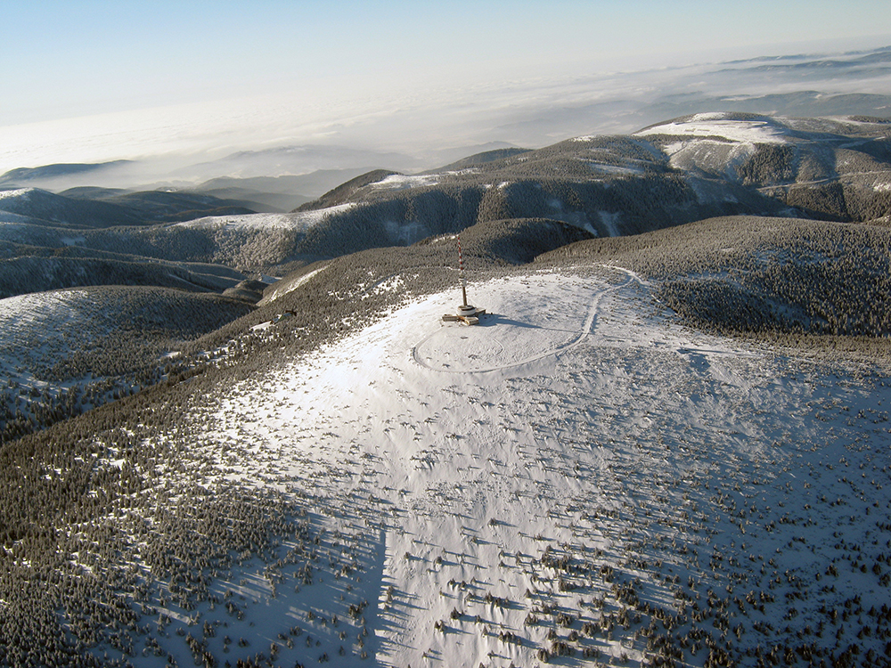
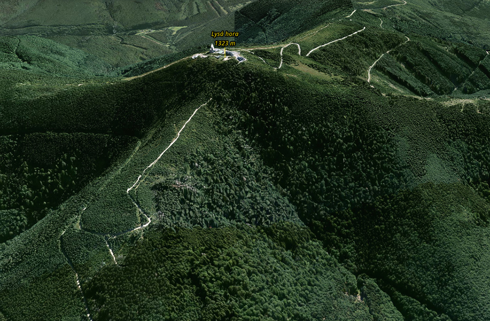
3.4 Typology of the cultural landscape of Czech Silesia and its elements
Landscape is an integral part of human life. The current landscape structure is created by natural factors and human activity, which significantly affects the landscape and often threatens ecological stability. Since ancient times, humans have tried to understand nature in order to survive. They adapted or tried to adapt nature to natural conditions to their own needs, resulting in a wide range of landscapes from natural to cultural (more or less anthropogenically transformed). The results of these processes can persist in the landscape for centuries or millennia or be replaced by other landscape structures over time. Humans usually cause short-term and dynamic changes in the landscape. Anthropogenic impacts occur most often in areas that can be intensively used by humans (e.g. mineral extraction) or adapted for their own use (e.g. agriculture or new development).
The cultural landscape of Czech Silesia can be characterized, for example, according to the structure of land use (from natural to man-made landscape). In the Czech Silesia we can find six framework types of land use: agricultural landscapes, woodland landscapes, forest landscapes, pond landscapes, mountain sticks landscapes (to a small extent) and urbanized landscapes.
Today, individual cultural landscapes are interconnected and form a complex network, the so-called landscape sphere. Agricultural landscapes are a type of landscape that has been heavily modified by human cultivation. Most of the area here consists of fields and permanent grassland. It is an open system with a number of complex links that contribute to its stability. The agricultural landscape of Czech Silesia consists of arable land, meadows, pastures and orchards. Cereals are most commonly grown in the fields, as well as corn and roots, legumes, oilseeds or plants for the textile industry. Fields of interest are specific fungi. The animals found here are mostly of steppe origin. They are often able to reproduce extremely quickly and produce several generations before the crop disappears. In terms of insects and other invertebrates, the fauna is richest in perennial forage and cereal crops, and poorest in arable crops, especially maize and rape. Many of the animals inhabiting the field are pests for field crops. The most abundant of vertebrates are small mammals, especially rodents, which are able to build underground shelters. Their populations then attract many predators (small carnivores and birds of prey). Although the flora and fauna of the fields are extremely poor in species, the number of individuals here can be considerable. The main problem of this habitat are rapid changes in its character after harvesting, when both the possibility of shelter and the supply of food disappear for animals. Chemical spraying, various methods of fertilization and other agrotechnical interventions have a significant effect on the field and the surrounding landscape. Typical agricultural areas of Czech Silesia include Opava, Osoblaha, Javornice and Vidnavia regions.
The transient landscape type is a woodland and urban landscape characterized by alternation of forest and non-forest habitats. The number of areas covered by woody vegetation varies between 10% and 70%. The landscapes are mostly semi-open.
Forest landscapes are a type of landscape that has been less modified by human intervention. They are characterized by a large majority of forest stands (at least 70% of the area). They have a closed character. Today, the forest is no longer understood only as a source of wood, but the functions and needs of this extraordinary habitat are also respected. The same attention is paid to the useful, protective and regenerative function of the forest. Sustainable development is directed towards structurally and species-rich, healthy and stable forests. Emphasis is also placed on environmentally sustainable logging. The bark beetle calamity in recent years has also affected spruce forests in Silesia and the extraction of infected wood in some areas has significantly changed the nature of the landscape (Jeseníky Mountains, Beskydy Mountains). While some forest ecosystems have rich and interesting animal communities, this is not the case for cultural forests, especially spruce forests. The low diversity of the environment and the limited supply of food impoverish the species diversity of such forests. The most animals occur on the edge of the forest, in the pastures or along the roads.
Pond landscapes are characterized by significant spatial representation of shallow water areas. In Czech Silesia they occur in connection with a preserved pond network (e.g. Poodří) and water reservoirs.
Landscapes of mountain poles appear rarely in the Jeseníky Mountains (Praděd, Šerák and Keprník regions) in Czech Silesia. They include a rare area lying in Velehorski fragments above the upper border of the forest.
Human-intensive types are urbanized landscapes. They are characterized by the predominance of buildings and paved areas. Depending on the prevailing type of use, we can mention the settlement landscape, mining landscape or industrial landscape in more detail.
The settlement landscape is an intensively influenced type of landscape. The natural components of the landscape have already been significantly altered by building modifications. This is particularly true for urban landscapes. The main reason for the gradual increase in the area of built-up areas was and is the increase in the population. Construction of agricultural and industrial buildings also plays an important role. Central cadastral territories also have some significant biological specificities. The first is the effect of the thermal island, greenhouse effect, smog, changes in air flow due to the presence of buildings, easy availability of food and, conversely, a small offer of shelters. Cities are often centers of dissemination of non-native species of plants and animals. From plants, we will encounter mainly species that spread quickly and easily cope with extreme conditions. From animals, we can then find so-called synanthropic species that permanently accompany humans; secondarily wild domesticated species; species planted or introduced by humans; species from the wild adapted to urban conditions; species emerging in cities only in the short term and finally species bred by humans in captivity.
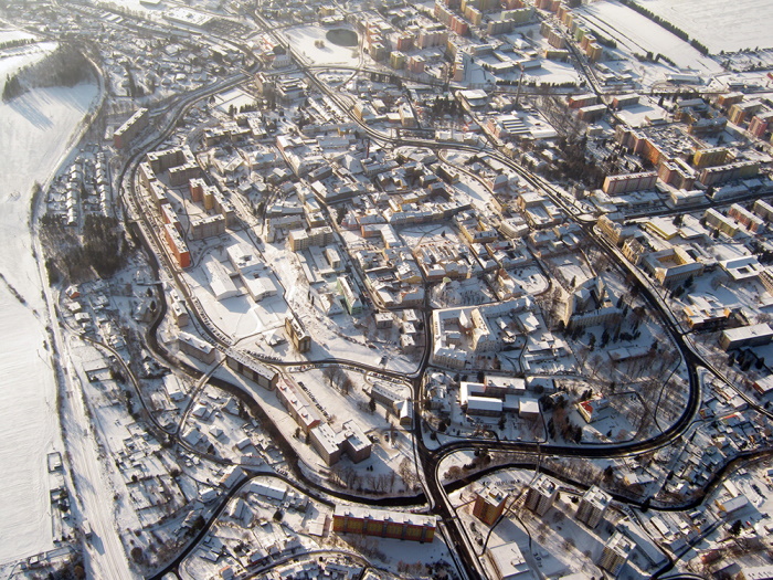
Mining landscape is very disturbed by surface or subsurface extraction of mineral resources. The influence of mining on the landscape of Czech Silesia began to manifest itself in the Middle Ages, in connection with ore mining. Many traces of this historical mining are still visible in the landscape today, but these are relatively small interventions. Silesia was still an agroforestry landscape composed of a mosaic of fields, meadows, pastures, human settlements, forests and numerous ponds in the first half of the 19th century, when emerging mining still did not show much. Especially over the last two centuries, the landscape has undergone a major change due to the mining of hard coal and the extraction of other mineral resources. In the Ostrava-Karviná district, completely new anthropogenic forms of relief appear in the landscape due to coal mining (e.g. heaps or sinkholes, which are often flooded), sludge reservoirs, mining and related industrial areas and roads and railways leading to them were created. Mining influenced the appearance of the landscape not only by mines and heaps, but also by building numerous mining colonies and later housing estates (Ostrava-Poruba).
Mining also caused a decrease in water area in the landscape and degradation of numerous water habitats during the 20th century. The consequences of mining include changes in the water regime in the landscape. The landscape has also been affected by land grabbing and degradation, methane-rich mine gas emissions, mine tremors, environmental contamination, landscape fragmentation, etc. Although mining interventions in the landscape were and are often perceived rather negatively, the results of various studies show that nature is very adaptable. Many and often very rare species of plants and animals find an ideal place for life in the mining landscape. In some flooded sludge basins, but also reclaimed or non-reclaimed sludge tanks, e.g. scarce chaser, Danube crayfish and swan mussel occur. These are particularly protected highly endangered species. The scarce chaser in the Czech Republic was until recently even considered an extinct species. It is no wonder that spontaneous successes (naturally growing heaps and quarries) prove to be the best way to restore the mining landscape. The problem is the spread of synanthropic vegetation. Although it is easy to adapt to the surfaces affected by mining, it can even effectively strengthen them, but it often begins to spread uncontrollably even to areas from which it displaces native species. Typical mining areas in Czech Silesia are mainly the Ostrava-Karviná district (hard coal), Zlaté Hory region, Horní Benešev and Rýmařov regions (ores), Jeseník region (granite) and the Low Jeseník region (slate).
The industrial landscape has been emerging particularly intensively since the mid-19th century and is related to the massive advent of the Industrial Revolution and subsequent industrialization. There are few vertebrates in the industrial landscape, from invertebrates we will encounter mainly insects. Birds are represented by sparrows, magpies, pigeons, common vetch, blackbird, garden dove. Only a few species of mammals live here and mostly quite secretly. They are mostly rodents or adaptive species of beasts. Of the ungulates, the feral pig was the most adaptable to this environment. In the growing industrial landscape, there is also deer, wild rabbit and the brown hare. After several decades, even less demanding reptiles and amphibians may begin to appear. Animal health here has long been influenced by the lack of shelters and food, as well as the storage of harmful substances in the body.
According to the time of the establishment of the settlement landscape, framework settlement landscape types were defined in the Czech Republic. The old settlement landscape is continuously inhabited from Neolithic. The peak medieval settlement landscape is continuously inhabited from the peak Middle Ages (from the 13th to 14th centuries), the late medieval settlement landscape only from the late Middle Ages (i.e. from the second half of the 14th century). Modern settlements of the landscape is inhabited only in modern times, first from the 16th century.
3.5 Character of settlement of Czech Silesia
Czech Silesia and the wedge of northeastern Moravia that it encloses mostly represents an artificial formation, which today belongs for the most part to the Moravian-Silesian Region, and in the western part (Jeseník region) to the Olomouc Region. Czech Silesia consists of the remains of four historical territorial units: the Principality of Opava (including the so-called Moravian enclaves) and Teschen, as well as small remnants of the Low Principality (Jeseník, Javorník and Vidnava regions) and the Principality of Ratibórz (status of minor Bohumín). In northeastern Moravia, the Moravian wedge, formed by the majority of Ostrava municipalities, grows into Silesian territory, followed by Místecko, Brušpersko, Příborsk and Novojicko.
The waves of medieval colonization brought a breakthrough in terms of settlement of the observed space, which during the 12th, 13th and first half of the 14th centuries created a basic settlement structure. The result of colonization was a rapid increase in the number of rural communities, even in submontane areas, an increase in population density and the formation of cities, which had an irreplaceable economic and cultural role. Some urban centers were linked to older settlements (Opava, Teschen, Moravská Ostrava), in some cases the urban core (Frýdek) was relocated and others were based on so-called green ground (e.g. Horní Benešov or Brušperk). Medieval colonization significantly influenced not only the settlement structure in the long term, but also the internal arrangement of settlements and ploughs. If the settlement structure was not significantly affected by the Hussite wars, otherwise it was affected during the Czech-Hungarian wars of the 1460s and 1470s, when only in Opava and Krnov a hundred villages were devastated. During the 16th century, a wave of new settlements was created, especially in western Silesia, in connection with the development of mining (e.g. Andělská Hora or Vrbno pod Pradědem). At the same time, the so-called Wallachian colonization began in Teschen, the main phase of which dates back to the 17th century and led to the settlement of the Beskydy and Javorníky Mountains.
In the 18th century, the fundamental enrichment of the existing settlement structure was mainly associated with the parcel courts. The principle whereby, at the initiative of the state and the authorities, the existing court land was divided into long-term rents for peasants was supposed to lead to rationalization of the principal business. As a result, dozens of new settlements were established, especially in western Silesia. For example, more than twenty so-called colonies were established in Jeseník region, in the time from the second half of the 1780s until the first decade of the 19th century. For example, Dětřichov, Rožmitál, Ramzová, Rejvíz, Bělá or the later famous Gräfenberg were created. This latest wave of colonization achieved the ultimate land use opportunities before the advent of modern technologies.
The Industrial Revolution and subsequent industrialization waves brought about new, very strong impetus leading to the transformation of the existing settlement structure. Changes in energy sources and technologies in the 19th century brought about changes in the settlement character. Firstly, we observe the growing importance of traditional textile centers, which are switching to modern industrial textile production and whose population is growing (Krnov, Bruntál, Frýdek, Místek, Nový Jičín, etc.). However, these traditional centers were soon overshadowed by the massive development of modern heavy industry (coal mining, metallurgy, chemical industry), which resulted in an explosive increase in the population of these new industrialization centers, where often completely insignificant villages and small towns were transformed in a short time into tens of thousands of settlements (Vítkovice, Přívoz, Mariánské Hory, Moravská Ostrava, Karviná, Orlová, etc.). During the second half of the 19th century, the creation of new industrialization centers and the gradual backwardness of traditional craft towns resulted in a further differentiation of the residential network, as peripheral and economically gradually lagging mountain and sub-montane areas (Jeseník, Bruntál, Pobeskydí) are beginning to depopulate and move for livelihood to economically more advantageous centers, and the resulting wave of urbanization hit mainly industrial Ostrava and Karviná region. Since the turn of the 19th and 20th centuries, many local populous villages have gained urban status (e.g. 1900: Přívoz, 1907: Mariánské Hory, 1908: Vítkovice, 1920: Silesian Ostrava, 1922: Orlová, 1923: Karviná). The agglomeration process then intensified after World War I, when the so-called Great Ostrava project was discussed and then implemented to a limited extent. Thus, at the beginning of 1924, the merger of seven Moravian municipalities created the third most populous city of interwar Czechoslovakia.
The last significant intervention in the settlement structure of the monitored area brought about the Second World War or its consequences. Not only direct war damage, which in terms of the form of settlement particularly affected Opava, but above all the displacement of the German population in the years 1945–1948 permanently marked those areas in which the German majority lived (mainly Jeseník, Bruntál, Krnov, Osoblaha and Opava regions). The subsequent resettlement of the displaced areas was organized both from the agrarian regions of the Czech lands, in the form of managed re-migration (mainly from Romania and Volyn) and the resettlement of Greek refugees. However, many displaced municipalities were not attractive to newcomers, which meant the rapid disappearance of dozens of mainly small and peripheral municipalities and the long-term stagnation of entire regions. Almost two dozen small villages (e.g. Hřibová, Hraničky, Annín, Johanka) disappeared only in the Jeseník district after World War II and several dozen others were never properly settled and gradually transformed into a recreational area.
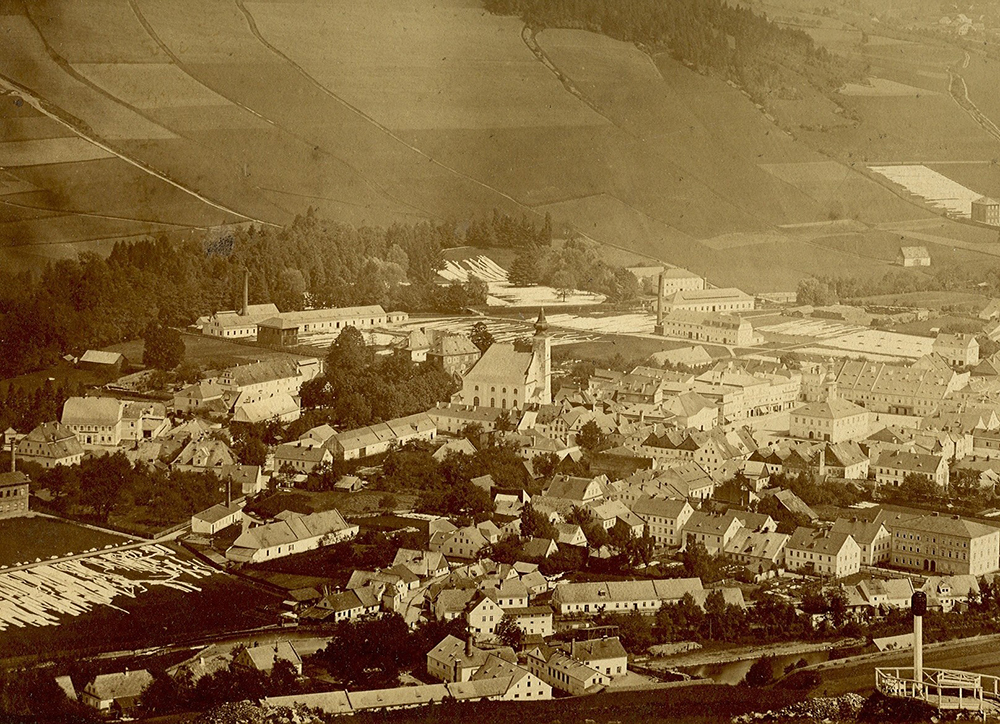
Poslední podstatný zásah do sídelní struktury sledované oblasti pak přinesla druhá světová válka, resp. její důsledky. Nejen přímé válečné škody, které se z hlediska podoby osídlení dotkly zvláště Opavska, ale především odsun německého obyvatelstva v letech 1945–1948 trvale poznamenal ty oblasti, ve kterých žila německá majorita (především Jesenicko, Bruntálsko, Krnovsko, Osoblažsko a Opavsko). Následné znovuosídlení vysídlených oblastí bylo organizováno jak z agrárních regionů českých zemí, jednak formou řízené reemigrace (především z Rumunska a Volyně) i usazováním řeckých uprchlíků. Mnohé vysídlené obce však nebyly pro nově příchozí atraktivní, což znamenalo rychlý zánik desítek především malých a periferně položených obcí a dlouhodobou stagnaci celých regionů. Jen v okrese Jeseník po druhé světové válce zcela zanikly téměř dvě desítky malých obcí (např. Hřibová, Hraničky, Annín, Johanka) a dalších několik desítek nebylo nikdy řádně dosídleno a postupně se proměnilo v rekreační oblasti.
Naopak socialistická industrializace a preference těžkého průmyslu zapříčinily další prudký nárůst počtu obyvatel v oblasti ostravsko-karvinského revíru. Došlo tak od 50. let 20. století k rychlé urbanizaci rozsáhlého zázemí průmyslové oblasti, což sebou přineslo vytváření nových sídelních celků (Ostrava-Poruba, ostravské Jižní město, Havířov atd.). Tyto nové kapacity měly za úkol mimo jiné nahradit těžbou zdevastované oblasti (zvláště na Karvinsku). Fáze nárůstu počtu obyvatel průmyslové aglomerace skončila rychlým útlumem báňské činnosti v první polovině 90. let a restrukturalizací průmyslu v podmínkách tržní ekonomiky.
On the contrary, socialist industrialization and preferences of heavy industry caused a further sharp increase in the population in the Ostrava-Karviná region. Since the 1950s, there has been a rapid urbanization of the extensive background of the industrial area, which resulted in the creation of new residential units (Ostrava-Poruba, Ostrava Jižní město, Havířov, etc.). These new capacities were to be replaced, inter alia, by the mining of a devastated area (particularly in Karvina region). The population growth phase of the industrial agglomeration ended with a rapid decline in mining activity in the first half of the 1990s and the restructuring of industry under market economy conditions.
3.6 Formation of the Ostrava settlement agglomeration
Today’s statutory city of Ostrava is, both in area (214 km2) and population (283,316 people as of 1 January 2021), the third largest city in the Czech Republic. Almost one million inhabitants live in the entire Ostrava agglomeration and it is the second largest agglomeration in the Czech Republic after Prague. The process of creating the Ostrava settlement agglomeration had the condition of the formation of the Ostrava industrial area
The crystallization core of the entire agglomeration was Moravská Ostrava and the municipalities that surrounded it, both in the historical territory of Moravia and Silesia. Only 18,700 inhabitants lived on the territory of today's statutory city, formed originally by 34 independent municipalities; in 1840 it was 146,155 inhabitants in 1900 and 216,289 inhabitants in 1950. Ostrava reached the highest number of inhabitants during the census in 1991, when it reached the value of 327,371 people. Since then,
the population has been steadily declining. In the mid-19th century, the rapid industrialization of Ostrava thus brought about the establishment of new administrative committees in place of the original municipal committees, a huge influx of inhabitants both from the wider surroundings and from more distant places (western Silesia, Pobeskydí, Halič). Ostrava municipalities developed at that time in a natural way and the corresponding public institutions established here were considerably delayed. Only at the turn of the 19th and 20th centuries did major cultural and administrative institutions emerge (1895: city theater, 1896: grammar school, 1900: district governorship, 1904: city museum). At the turn of the 19th and 20th centuries, regulatory plans were prepared for the major municipalities of agglomerations and new major public buildings created. Similarly, in the case of the elevation of populous and economically important municipalities of the agglomeration to townships (1879: Polish Ostrava; 1907: Michálkovice; 1908: Hrušov), or towns (Přívoz: 1900; Mariánské Hory: 1907; Vítkovice: 1908; Slezská Ostrava: 1920; Svinov: 1936).
Before the First World War, Moravian Ostrava was in fact one structurally interconnected unit, characterized by a high concentration of inhabitants and industrial production. It was only a matter of time before these natural links were formalized by the creation of a unified administrative service. Even before the First World War (in 1913), it was a merger of the three most significant localities: Moravské Ostrava, Přívoz and Vítkovice, but unsuccessfully. The situation changed significantly after World War I, mainly because, at the level of individual self-governments, which were dominated by Czechs inclined to implement the project of the so-called Great Ostrava. This plan, enforced mainly by the administrative commissioner of Moravská Ostrava, Jan Prokeš, assumed the merger of fifteen Ostrava municipalities, both in the Moravian and Silesian territories. However, the merger plan was complicated by four problems: 1. The unresolved nationality of Teschen, to which all Silesian municipalities concerned belonged except Svinov; 2. The question of the territorial jurisdiction of the emerging big city; 3. Legislation that until 1920 did not address the issue of changes in municipal boundaries, which would change the boundaries of historic countries in the next decade; 4. The fact that some municipalities, especially Vítkovice, had long struggled with the issue of joining Moravská Ostrava. The lengthy negotiations resulted in the government finally approving, on 20 December 1923 with effect from the beginning of 1924, a merger limited to only seven Moravian municipalities (Moravská Ostrava, Přívoz, Mariánské Hory, Vítkovice, Hrabůvka, Nová Ves, Zábřeh nad Odrou). Although the size of the new Moravská Ostrava was half the size of the original plan, the population of almost 114,000 represented the third largest city in Czechoslovakia.
In this form, the administrative arrangement applied until 1941, when by government regulation No. 236 of 29 May, Moravská Ostrava was extended by eight other Silesian municipalities from the Frýdek district (Heřmanice, Hrušov, Kunčice, Kunčičky, Michálkovice, Muglinov, Radvanice, Silesian Ostrava) and four municipalities from the Moravian-Ostrava district (Hrabová, Nová Bělá, Stará Bělá, Výškovice). Such an enlarged city was promoted to a statutory one, i.e. its municipality gained the first instance of political administration and was subordinated to the Regional Office in Brno. These changes from the period of occupation were also confirmed by the decree of the President of the Republic No. 121 of 27 October 1945 and by the decree of the Ministry of the Interior of 28 June 1946, the official designation of the city was adjusted to the city of Ostrava. In the following decades, the extent of Ostrava continued to grow by newly connected municipalities, in several waves: in the late 1950s (1957: Poruba, Pustkovec, Svinov, Třebovice; 1960: Bartovice and Martinov), in the mid-70s (1975: Proskovice; 1976: Antošovice, Hošťálkovice, Koblov, Krásné Pole, Lhotka, Petřkovice, Plesná, Polanka) and in 1984: Dubina. Thus, the territorial scope of today’s statutory city was completed.
In this form, the administrative arrangement applied until 1941, when by government regulation No. 236 of 29 May, Moravská Ostrava was extended by eight other Silesian municipalities from the Frýdek district (Heřmanice, Hrušov, Kunčice, Kunčičky, Michálkovice, Muglinov, Radvanice, Silesian Ostrava) and four municipalities from the Moravian-Ostrava district (Hrabová, Nová Bělá, Stará Bělá, Výškovice). Such an enlarged city was promoted to a statutory one, i.e. its municipality gained the first instance of political administration and was subordinated to the Regional Office in Brno. These changes from the period of occupation were also confirmed by the decree of the President of the Republic No. 121 of 27 October 1945 and by the decree of the Ministry of the Interior of 28 June 1946, the official designation of the city was adjusted to the city of Ostrava. In the following decades, the extent of Ostrava continued to grow by newly connected municipalities, in several waves: in the late 1950s (1957: Poruba, Pustkovec, Svinov, Třebovice; 1960: Bartovice and Martinov), in the mid-70s (1975: Proskovice; 1976: Antošovice, Hošťálkovice, Koblov, Krásné Pole, Lhotka, Petřkovice, Plesná, Polanka) and in 1984: Dubina. Thus, the territorial scope of today’s statutory city was completed.
3.7 War traces in the Silesian landscape
Opava and Ostrava were among the most devastated regions within then Czechoslovakia after World War II. Hard battles, a multitude of heavy equipment and hundreds of thousands of soldiers on both fighting sides caused not only great loss of life, but also destroyed cities and municipalities and broken infrastructure. Traces of war events are still found in many places of the Silesian region, from Opava and Ostrava through Bruntál to Jeseník, as well as in the territory of Teschen Silesia.
The Ostrava-Opava operation, which, as the name suggests, took place on the territory of the Moravian-Silesian Region at the end of World War II, was the second largest war operation on the territory of the then Czechoslovakia and lasted from 10 March to 5 May 1945. From 15 April, when troops entered the Czechoslovak territory in the area of Rohov-Sudice, there were fierce fights for the use of heavy military equipment and air force for each municipality and city in Opava and Ostrava. For the area, which was the last industrial center where the war industry was still in operation, the “burnt earth” tactic should have been applied. German troops fought fiercely until the last days; in the villages on the approach to Ostrava, every house was fought over. Therefore, Silesia was also the most devastated region within then Czechoslovakia. For example, Opava was destroyed by 90%, as were many municipalities in its vicinity.
Remains of these battles are still more or less visible in the landscape – craters following bombardment, remnants of defensive positions and trenches or military cemeteries, the graves of the fallen, monuments and memorials that can be found in almost every Silesian village and city. Hundreds, perhaps thousands of fallen German soldiers and tons of ammunition are still lying in the earth today.
One of the consequences of the war events was also the removal of the indigenous German population from the border districts located around the state border with Poland, Germany and Austria. The first, so-called wild displacements, took place immediately after the liberation, the next organized removals took place in 1946–1947. Simultaneously with the displacements, the settlement of the border by the Czech population from the hinterland also took place. Many newcomers only arrived with the vision of wealth, many of them not ready for life in mountain villages and solitude, often spaciously accessible; people were not even ready to work in agriculture. Gradually, they again left the settled places and went to the cities to work in emerging industrial centers; many villages were devastated or had to give way to strategic buildings (e.g. the municipalities of Kerhartice and Medlice were partially flooded by the Kružberk dam). Many cemeteries, villages, mines, small factories or small sacral buildings remained in the deserted landscape. Their traces can be found today in Opava, Bruntál, Vítkov and Jeseník regions.
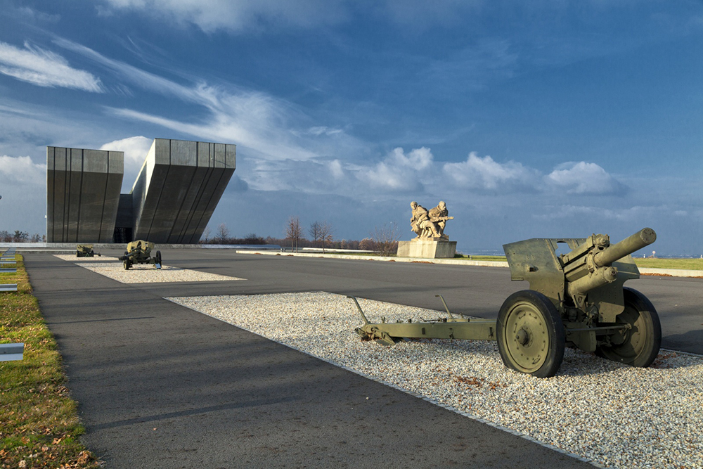
3.8 Steel Heart of the Republic 1948–1989
After the communist coup in February 1948, Czechoslovakia became a de facto satellite of the USSR, which, like the entire Eastern bloc, was preparing for a new war conflict – World War III. This was related to the concept of preference of heavy industry with a focus on arms production. For Czechoslovakia, the problem was that it was the only one in the entire eastern block with an advanced base of these sectors. The Czechoslovak economy underwent extensive structural reconstruction in a short time, the direction of which did not grow out of natural development and did not correspond to the character, needs or capabilities of the country. The cornerstone of the new system became the total nationalization of industry and state planning. In it, the promotion of macroeconomic indicators played a decisive role, with an enormous emphasis on the continuous increase in production volumes, especially in those sectors that served armaments. Within Czechoslovakia, it was mainly Ostrava, to which the role of the most important center of the coal industry, metallurgy and heavy steel industry was attributed. Ostrava was thus perceived as the "steel heart of the Republic“.
Similarly, the Ostrava-Karviná district underwent a hectic development during the second five-year period (1956–1960), when a steady year-on-year increase in coal production of more than one million tons can be observed. Mining in the area thus exceeded 20 million tons for the first time in history in 1960. However, the full commissioning of the new large mines and the slowing down of the pace of development of heavy industry brought relief to the territory in the final result of the pressure to increase production. This enabled temporary stabilization, reconstruction of a large part of the mines of small and medium depth, construction of new mines (Mine 9 May, Mine CSM), increasing technical maturity and mechanization of work.
Emphasis on the further development of Ostrava-Karviná mines, which produced in the first half of the 1960s, around 37% of the total coking coal production of the European People’s Democratic States was produced throughout the first half of the 1960s. This was the first time coal needs in the national economy were aligned with its resources. The first half of the 1960s was in the spirit of establishing new mines (1960: Paskov Mine, 1961: CSM Mine, 1964: Starříč Mine), which were supposed to ensure a further increase in mining. After 1965, however, there was a sharp turnaround. In connection with Czechoslovak economic reforms, the pace of development of heavy industry decreased and rationalization took place, which in the area of metallurgical production brought in an unusually short time a significant reduction in the requirements for blast furnace coke. This meant that in a short time, on the contrary, there was a problem with coal sales. After many years of pursuing the expansion of coal mining, there was a sharp turnaround, which demonstrated the vagueness of the concept of the development of the coal industry.
The collapse of the Czechoslovak economic reform and the renewed pressure of RVHP catapulted the Ostrava-Karviná district back to the trajectory of increasing coal supplies after 1968, which again led to new problems. In connection with this, a new concept in the long-term development of the site was developed, which was based on the idea of mining maximization. The concept showed that, in the short term and using all available investment and technical possibilities, the area is able to supply a maximum of 23.5-24 million tons of coal. In the following years, however, mining was carried out above this maximum variant, which could not be done other than by economically disadvantageous and improvised interventions. Moreover, adverse effects limiting or hindering further mining began to appear in some mines. Already in the mid-1970s, a third of the excavation came from deposits threatened by mining shocks and prone to rock or gas ruptures.
In the mid-1970s, the Ostrava-Karviná district was in a contradictory situation. On the one hand, it continued to perform the tasks prescribed by the central economy; on the other hand, it repeatedly submitted analyses pointing to the long-term unsustainability of this situation. Due to capacity possibilities, additional extraction was unrealistic. Developments in the second half of the 1970s showed that the Ostrava-Karviná district was inevitably behind the loss of its capabilities. The deteriorating geological conditions manifested themselves in the inevitable and gradual decline in the performance of the area. Nevertheless, the area still achieved impressive results, with annual production regularly exceeding 24 million tons. Its role in the Czechoslovak economy was still extraordinary.
The 1980s were already marked by irreversible stagnation in the Ostrava-Karviná province. All forecasts described that mining requirements had to be reduced. A characteristic feature of the first half of the 1980s was a steady decline in annual extraction. In 1985, production did not even reach 23 million tons, which, given the objective state of the area, was well above actual capacity. Many of the old mines managed only with surviving reserves, and the development of new mining capacities was not in sight. Throughout the 1980s, it became a period of permanent search for such a concept of development of the area that would allow to stabilize its operation.
The drastic increase in the volume of mining, the development of heavy industry and mass construction were significantly reflected in the rapid and dramatic changes in the landscape and the overall state of the environment. Due to the unprecedented intensity of exploiting the economic potential of the area, the rapidity of changes was significantly more dynamic than in previous decades.
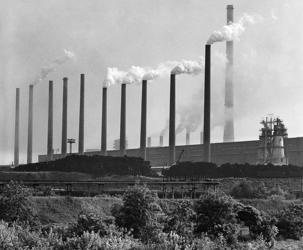
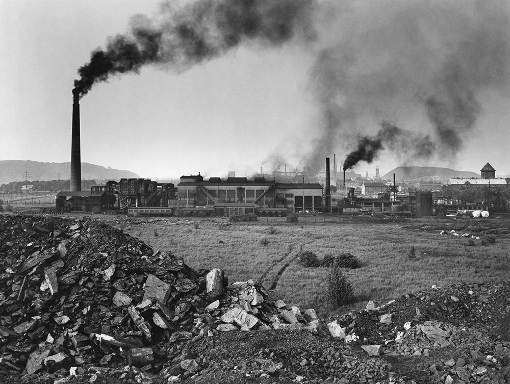
3.9 Lost identity of the settlement space in the 20th century
The turbulent events of the 20th century marked the landscape of Silesia in many ways. It was far from just a transformation of the farming method, which permanently affected the nature of fields, meadows and forests. The events of the last century were also remarkably inscribed in the settlement of Silesia, when dozens of municipalities disappeared and the character of many of them was fundamentally changed. In total, more than 70 towns, villages and settlements disappeared in Moravia and Silesia from 1945 to 1989. In terms of settlement, during the 20th century, the most strongly reflected in the settlement landscape was World War II and its consequences, and then also the economic activities of society (mainly mining activities and construction of waterworks in the monitored region).
Krnov, Bruntál and Osoblaha regions were also very negatively affected after World War II. The last mentioned area was heavily affected by the final fighting of World War II, the tangible Osoblaha ended with total devastation (90% of the houses in the city were destroyed) and in the 1950s it was newly built by insignificant building structures. The village, which had more than 2200 inhabitants as of 1930, hosted only 421 people in 1947 and lost the status of a city in 1960. Currently, around 1100 inhabitants live here and it is the center of the Osoblažsko microregion. Some small municipalities near the state border (e.g. Studnice, Pelhřimovy) have also disappeared.
In the second half of the 20th century, human economic activities also marked the settlement structure of the Silesian landscape. These were most noticeable in connection with mining activities and the construction of large-scale waterworks. The most visible example of the disappearance of a settlement due to mining activities is the fate of old Karvina. The industrial town, which had more than 22,000 inhabitants in 1930, soon began to face mining damage. In the 1950s – when coal mining was a top priority – there was the subsurface mining of old Karviná, including the representative Larisch-Mönnich chateau in Karviná-Solec. Most of the original buildings, of which only the church of St. Peter of Alcantara, which is significantly tilted due to subsurface mining, has been destroyed, as well as the former village of Darkov (except for the iodobromo baths) or most of the original buildings of the village of Louky nad Olší.

In the second half of the 20th century, municipalities still on the path to building and a succession of major water works. In the monitored region, this happened in the case of the Kružberk reservoir (municipalities of Kerhartice, Medlice and Lesy), Žermanice dam (municipalities Horní and Dolní Soběšovice and Dolní Domaslavice), Těrlicko dam (flooded municipalities of Horní and Dolní Těrlicko), Šance dam (flooded part of the municipality Staré Hamry and a number of solitude in Ostravice Valley) and Slezská Harta (flooded municipalities Karlovec, the greater part of the municipality of Nová Pláň and the lower parts of the municipalities of Leskovec nad Moravicí, Roudno and Razová). Currently, the construction of the flood barrier Nové Heřminovy on the upper course of the Opava River, which is to flood the lower part of the village of the same name, is being prepared on the basis of a decision of the government in 2008.
3.10 Silesian countryside
The delimiting of rural areas may vary, but the sociological definition of rural areas can be considered appropriate: A residential area outside urban areas, which is traditionally characterized by a focus on agriculture and lower population density, but also a different way of life, more closely connected with nature, as well as a different social structure compared to the city. A typical housing unit of the countryside is the village (both terms appear as synonyms in many respects). From the sociological point of view, the countryside is characterized primarily by a specific type of society, the so-called rural community, which is usually defined, in contrast to the urban community, by the following features: 1. A higher degree of social interdependence; 2. A lower variability of professional opportunities; 3. A lower social differentiation and also a narrower area of social mobility; 4. A stronger link to tradition and a weaker inclination to social change; 5. A stronger determination toward the natural environment.
The village was defined by the leading Czech historian František Kutnar as a residential unit in which the basic and original function was agricultural production. Despite the development of non-agricultural craft production in the countryside, agricultural activity remained a basic attribute of the rural population until the 20th century, which resulted not only in a specific social arrangement, but also in a characteristic rural mentality (characteristic for the countryside opinion traditionalism, linking the rural person with agricultural work and nature, refusal or suspicious relationship to the urban environment and upper social strata).
However dichotomically defined the concept of countryside is in relation to the city, the separation of countryside from the city can really only be hypothetically. Rural cities had urban status, fulfilled basic urban functions (administrative and market centers, headquarters of higher than elementary education, headquarters of larger parishes, or dean's offices, etc.) and their inhabitants (townspeople) could define themselves vis-à-vis the outdoors, but the agricultural environment remained strongly functionally connected and agriculture still played a key role in the functioning of these cities. Rural towns can therefore be seen quite legitimately as an integral part of the countryside.
A clear dividing line between the city and the countryside hardly exists, nor can it exist. The legal status or population is definitely not decisive – quite a few municipalities with the status of a city were and are smaller than larger villages (e.g. Janov, region of Bruntál, Andělská Hora, Žulová) and had little economic significance. In the era of industrialisation, on the contrary, we encounter the phenomenon of very populous industrial communities, which have long existed without urban status. Many such municipalities can be found in the Ostrava-Karviná coal district (e.g. Silesian Ostrava, Vítkovice, Marianske Hory). There were also villages where most or at least a significant part of the population still lived mainly on agriculture, but only a few kilometers away from the industrial center allowed part of the population to work in the secondary sector or in the mining industry.
The transition line between rural and urban environments can be roughly marked by the socio-occupational structure of the population and the concentration of institutions (state, ecclesiastical and other public institutions). We believe that rather than between the village and the city, the imaginary border – separating the predominantly rural from the predominantly urban environment – lies between third and second stage cities, where the first stage constituted only the most important cities in the Czech lands. This transition line is located roughly between the level of settlements of political districts and the settlements of judicial districts (in Silesia, for example, those that were still very close to the countryside and essentially formed its integral part).
The basic nature of the rural landscape is therefore linked to agricultural activity. Natural conditions are the main factor determining the nature of agriculture in Silesia. These are very different in the monitored region, as we have shown in the previous chapters. The Silesian countryside was characterized by the use of predominantly less fertile land (more than half of Silesia's area is made up of highlands, a fifth of the sub-montane area with an altitude of 500–750 m above sea level, and a tenth then falls on mountain areas with locations above 750 m above sea level). Only 14% of the area was occupied by fertile lowlands. These are located mainly in the Javornice part of the region, in Osoblaha region and Opava. These were also the only areas that allowed genuinely intensive agricultural use.
The Silesian landscape thus takes various forms, while in areas with lower intensity of copper use the remarkable remnants of human activity have been preserved to this day. For example, the preserved historical structure of the landscape in the form of ploughs is very significant. These structures have been exceptionally well preserved, for example, in Holčovice as well as in other locations.
Characteristic elements of the landscape structure of old agricultural areas of Czech Silesia include agrarian ramparts (tenement houses), agrarian heaps (piles) and agrarian terraces. These forms of anthropogenic relief were created by human agricultural activity intentionally or spontaneously in order to increase the production characteristics of the landscape. At the same time, they were mostly built in such a way as to take up as little agricultural land as possible and thus arise primarily at the limits and in infertile places. Only where there were a lot of stones, were agrarian ramparts created even in the middle of parcels. Stone collected from the fields was also used to build other landscape elements (supporting stone walls and stone embankments of field roads, the edges of ploughs, ramps on parcels, subsurface drainage, stone stables, etc.). Due to the stony composition, these shapes in the landscape constitute a specific habitat for plant and animal communities. The vegetation of these agrarian forms has recently been intensively studied mainly in Jeseník region and other areas, where in the second half of the 20th century there was a decrease in the intensity of agricultural activity and vegetation could develop almost undisturbed. Agrarian forms of relief co-create a natural-anthropogenic relief, increase geodiversity, are a specific refuge for diverse plant and animal communities and bear witness to the rock environment of a given locality. They have an anti-erosion function, increase the stability of the slope, constitute a tangible proof of human labor and today they already represent a certain aesthetic value of the landscape.

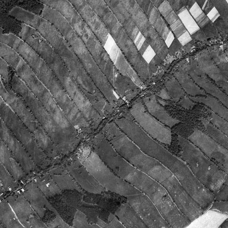
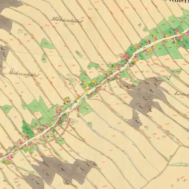

3.11 Meadows and pastures
Meadows originally occurred only on the slopes and ridges of mountains, in river valleys or as steppe formations. It was only with the development of agriculture that they replaced a large part of forests in the European landscape. Grasslands usually do not grow in the meadows and grasses or similar vegetation prevail in the vegetation floor. It is removed once or several times a year by mowing, in the case of pastures by grazing. If meadows and pastures are left to natural development, they gradually return to the forest stage, which is why we usually consider them an anthropogenic community, i.e. created by purely human causes. Meadows and pastures are essential in the agricultural landscape: they preserve its diversity, increase the quantity and quality of water, improve soil quality, capture undesirable flushes, reduce water and wind erosion.
In our conditions meadows and pastures are the natural environment of the highest number of plant species, and the number of insect species and soil microorganisms is also high. Many species only come here for food. Mammals more commonly found in meadows include the field hare, field vole, common shrew and common mole. Birds are represented by predators (common buzzard and common kestrel), singing birds (European lark, common sparrow, whinchat, red-backed shrike, marsh warbler, yellowhammer, rook). Formerly abundant species were also representatives of burrowing birds (quail, partridge and pheasant); nowadays they are rarely seen. Frequent mowing favors photophilous plant species with rapid regeneration capacity and early spring flowering species whose seeds mature before the first mowing.
As meadows were originally used moist valleys of streams, surrounding ponds or deep wetlands, on the contrary, drier inclined deforested stands and areas that were unsuitable for plowing served as pastures. The landscape of mountain and mountain villages was predominantly forest in the past, but forests were increasingly influenced by logging and the colonized foothills gradually became an agricultural landscape. Land consolidation in the 1950s meant the destruction of numerous meadows and pastures. Waterlogged meadows and pastures became drained and chemistry began to be used for more efficient production. This, of course, resulted in the retreat of numerous plants and animals, the disappearance of wetlands and with them forever many rare species.
Since the first half of the 17th century, in the Jeseníky Mountains, the land around the villages was no longer sufficient to sustain the ever-increasing number of people, so the use of mountain pole vegetation also took place. Grazing and harvesting of hay, so-called grass on ridges, were probably the cause of the development of many plant species. For the last time, cattle were driven out on poles shortly after World War II. The displacement of the German population and the subsequent change in attitudes towards agriculture marked a fundamental change especially for foothills. Due to a significant decline in the population, so much agricultural land was no longer needed, more distant mountain meadows and fields were forested with spruce and the forest approached the villages after four centuries. Even today, in the forests far from the villages, we can clearly distinguish from the piles of stones the original fields from which stones were taken out each year.
Recently, grazing was restored in Praděd National Park and in other places. The main goal is to return the species-rich mountain lawns that had been grazed or mowed for hundreds of years before farming ceased after World War II. Visitors to the vicinity of Praděd can see Highland cattle and Hucul ponies here today, and sheep are returning to some places. After more than seventy years, grazing in the area of today’s Ovčárna was restored. A similar trend is also underway in Beskydy.
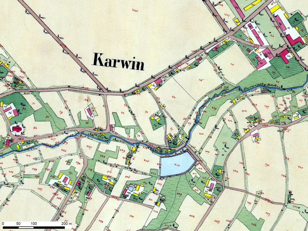
Since the early 1990s, the use of meadows as a source of biomass for energy and biotechnology purposes has been increasing. Due to changes in agricultural land use, where extensive grassland cutting often fails to pay off economically, and the general eutrophication of the environment promoting the growth of competing plant species, many grassland communities are among the endangered to highly endangered habitats.
3.12 Gardens and orchards
Rural gardens, in which fruit trees always had their fixed place, played an important role in the supply of households. Fruit plantings used to be and are very varied, of different ages and forms. Currently, however, the fruit tree is becoming an endangered species due to the abandonment of self-supply and the trend of establishing gardens for rest. Sterile greenery in the form of ornamental permanent green conifers (cedars, cypresses, thuja, etc.) can never provide such services as the crown of a fruit tree.
Fruit trees have always been an indispensable aspect of the countryside. Without the presence of traditional rural gardens, alleys and all those pears in the meadows, nuts in manure or apples in the front gardens, a faithful picture of the cultural and historical heritage of the countryside could never be given. Fruit trees and their fruits had a symbolic significance for the rural person in the past, appearing in a number of customs, maintained habits, superstitions and ceremonies. No wonder – the fruit tree is primarily a symbol of fertility. The most famous is the still maintained Christmas custom – slicing an apple. An asterisk in the cut kernel predicts health in the following year, a cross predicts illness or even death. Another custom is that water from the first neonatal bath was poured into the trees to guarantee the child similar growth to a tree.
Currently, we observe a trend in the “discovery” of indigenous varieties and efforts after the return of proven, but now almost extinct species of fruit trees. This is particularly evident, for example, in Jesenicko, where the discovery of indigenous species is related to the search for the identity of the landscape affected by the displacement of the indigenous German population. For example, the Eberesche civic association contributed to the planting of edible rowan (Sorbus aucuparia, var. Dulcis moravica). These were bred at the beginning of the 19th century on the Liechtenstein estate in Ostružná and thanks to the Prince's forester Franz Kraetzl, it spread throughout Europe during the second half of the 19th century as fruit tree breeding also in mountain or cold areas. In autumn 2012, the association planted an alley of 45 rowans on the intersection along the local road to Petříkov, two trees by the chapel by this road and three others by the church. Fruits containing a high proportion of vitamin C are used for excellent compote, marmalade, wine, distilleries and other products. At the same time, the Brontosaurus Jeseníky movement participated in the rescue of the original, in ecological terms, very valuable fruit orchards in the now extinct municipalities of Hřibová (Pilzberg) and Zastávka (Stillstand). In the orchards there were mainly apple trees and pear trees, such as Gdansk Edge (a Czech variety known from the 16th century at least), Parména Golden Winter (a variety known already in the Middle Ages), Baumann Rennet, Boikovo Giant, Landsberg Rennet, Sudeten Rennet and Bosc pear.
The phenomenon of gardening is related to the topic of gardens and orchards. Industrial development has caused people to leave the countryside for cities. Housing and social conditions were often intolerable for rural residents and the need to have a private garden was increasing. While large horticulture was being built on the outskirts of larger cities, the workers set up small gardens and gardening colonies. During World War I, garden settlements served as a social safety net for poorer families. The main mission of the gardens was to improve the family with their own fruits and vegetables, or to contribute to the family budget by selling fruit. The recreational aspect of the garden was missing at the time. In the post-war period, the social aspect came to the fore and the functions of gardening colonies gradually became socio-political. The great development of colonies took place in the 1970s. After 1989, changes in ownership took place and in many places gardening colonies were threatened with closure as a result of the return of land to its original owners. Most of the lands of gardening colonies have been saved. Since the 1990s, the ecological importance of colonies, which have become a fully-fledged part of settlement greenery, has also gained in importance.

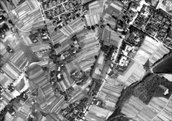
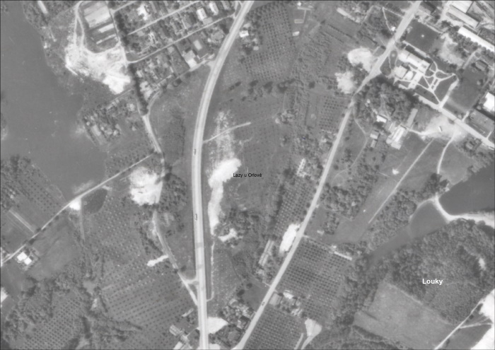

3.13 Forest landscapes
A forest is a very complex ecosystem composed of plant and animal components. It is based on tree species. A forest is considered to be an area in which trees grow, which grow to a minimum height of five meters and reach at least 25% of the crown cover. Forests are relatively unevenly represented on the territory of Czech Silesia, which is due to the geographical breakdown of the territory. The complexes of forests in the part of High Ash Mountains (Hrubý Jeseník) and Low Ash Mountains (Nízký Jeseník) and the Moravian-Silesian Beskydy Mountains contrast with the less forested parts of the Silesian Lowlands. The development of forests was determined by climatic and soil conditions, influenced by colonization influences, the development of industry and agriculture, property conditions and later planned forest management.
In Low Ash Mountains, beech forest predominates in terms of vegetation, followed by fir and oak trees. The original trees in the entire area were beech and fir. However, mixed stands have been replaced with spruce and only rarely are there remnants of the original composition (e.g. around Hradec nad Moravicí).
Forests are a crucial natural and landscape component for High Ash Mountains. Current forest stands are significantly changed compared to the original forests due to long-term management, the parts where the current wood composition corresponds to the original composition of the stands have been preserved only islet, especially in extreme and inaccessible habitats. Forests form an extensive, continuous complex in almost the entire Jeseníky Protected Landscape Area. The transformation of the original mixed vegetation with the predominance of spruce into today's homogeneous mountain spruce contributed not only to human activity, but also to the Little Ice Age between the 14th and 19th centuries – the cooler climate suited the spruce. Due to the harsh climatic conditions, a typical mountain spruce has developed with a narrow crown branching down to the ground and with S-shaped curved branches that point obliquely downwards. The remains of the original population of mountain spruce are located in the Praděd National Nature Reserve. The so-called Liechtenstein Forest, founded in 1904 by Prince John II of Liechtenstein in the area of today’s Šerák-Keprník National Nature Reserve, was the first reserve in Jeseníky Mountains and also the oldest protected area in Moravia and Silesia.
In Podbeskydská Hills, oak forest predominates, beech forest is slightly less represented. In the original natural vegetation, beech stands with the addition of fir and other deciduous trees prevailed. In the northern part they were abundantly represented by oak hornbeams, elm oak groves and in floodplain forests by bird cherry. The structure of deciduous trees here is very varied. The forest is distributed very unevenly and is mostly fragmented into small forest complexes or isolated forests. The most preserved fragments of the nature of beech vegetation are protected here in the Palkovické hůrky Nature Reserve, between Kozlovice and Dolní Sklenov.
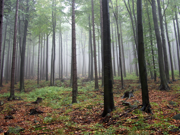
The most widespread forest of the Moravian-Silesian Beskydy Mountains was the fir-beech forest, and in higher positions spruce beech. The original natural vegetation was fir trees, with an admixture of maple, oak, ash and elm. Spruce slightly represented. The forestry of the area is very high and the species structure of the vegetation is inappropriately shifted in favor of spruce, the second most widespread wood being beech. The original fir tree has minimal representation today. The most preserved fir tree stand in our territory is protected in the Mionší National Nature Reserve, the unique remnant of natural mountain type stands is protected in the Kněhyně – Čertův mlýn National Nature Reserve.
Surprisingly, natural forests have been preserved in Opava Hills for quite a long time, especially in Opava. In the past, oak-beech forests with the addition of linden, hornbeam and sycamore prevailed here, in the transition to the higher positions of beech trees. In the area there was also the so-called heraltic pine, which we still find in mixed stands between Cvilín and Opava, but many of its stands have been transformed into spruce. The forest cover of the area is relatively low with the predominance of oak and beech forests. Natural vegetation has been preserved in only a few places. The most preserved oak-beech is protected in the Black Forest nature reserve near Šilheřovice.
3.14 Forestry Landscapes
The forest has always served man as a source of food, material for the construction of dwellings and the production of tools, shelter from enemies, grazing livestock. From the very beginning, there is mutual influence – humans influence the forest by their activity and the forest by its presence affects human behavior. Today's approach aims to conserve the resource of environmentally clean renewable raw materials, preserve and enhance the biodiversity of forest ecosystems, apply nature-friendly management methods and care for the health status of forests so that they fulfil not only an economic but also an ecological and recreational function.
In Jeseníky Mountains there was a significant turn between the 13th and 14th centuries. At that time the Jeseníky Mountains were purposefully colonized by the German population in connection with the search for and extraction of gold, silver, copper and other metals (the so-called Great Colonization). Gradually, mining began to focus on iron ore deposits. With the development of mining, hammers and smelters were created in the valley of rivers, which consumed a huge amount of wood, which is why mountain slopes began to deforest even in higher positions.
The Beskydy Mountains, on the other hand, were practically a border forest on the border with Upper Hungary until the end of the Middle Ages. Until the 14th century, only the foothills of the mountains were inhabited in Beskydy Mountains, the arrival of Wallachian colonists from the end of the 15th century bringing a change. Thanks to sheep and goat breeding, they were able to make economic use of the high mountains. In order to obtain additional pastures, forests were cleared and so-called pastures and maple trees were created. Deforestation took place mainly on the ridges of the mountains, but the subsequent restoration of the forest was blocked by harsh climate and grazing. The secondary settlement of the Beskydy Mountains took place from the 16th century in the form of the so called post-colonization and meant a fundamental change of the original biotopes - the forest cover was cleared and harvested in order to obtain new agricultural land. Another significant change in landscape character occurred in the mid-19th century, when consumption of wood and charcoal increased with the development of industry in the foothills. In order to increase profits, the owners gradually introduced planned forest management according to the German model, gradually pushed the shepherds out of the mountains and forested the land with spruce.
Activities that contributed to the deterioration of forests included coal, tar and pitching, summer harvesting, cattle grazing in forests, etc. The real destruction of forests meant the development of mining and ore processing, and a little later the development of glassmaking. Forests near watercourses, which allowed timber to float, suffered the most. In many places, the natural ameliorative influence of beech, sycamore and cranes disappeared, and the species composition of the forests of that time was depleted of fir trees, which strengthened the spruce forests. As a result of intensive use, forests were significantly reduced in the 17th century and their remnants were in very poor condition.
The huge consumption of timber, the devastated forests and the fear of a threat to the whole economy due to the lack of timber caused the issuance of an imperial patent, which was supposed to unify the principles of forest management and ensure sufficient timber for the future. The Theresian Forest Order (for Silesia in 1756) imposed a number of obligations and restrictions in order to preserve the forest and sustain the yield of wood (obligation to afforest the excavated areas, prohibition of extraction of resin from healthy trees, prohibition of export of wood to foreign land, obligation of the forester to have appropriate education, etc.). The shortage of wood in the second half of the 18th century also led to a revolutionary intervention in the wood composition of our forests. The deciduous forests were replaced by mixed pine and spruce stands; spruce grew very well, so quality wood was available in a relatively short time.

With the advent of the Industrial Revolution, wood gradually began to be replaced by coal, essentially saving forests. Nevertheless, throughout the 19th century and the first half of the 20th century, there was a further decline in forest cover, particularly in agricultural areas and industrialization centers. Forests were felled not only in connection with the high demand for wood, but there was also a problem with the damage of especially coniferous trees by industrial exhalations. In terms of species composition, the most endangered were fir trees, which were dying in the last third of the 19th century in the Ostrava-Karviná province. The decline of forest land is also linked to the development of the mining industry and the intensifying process of urbanization, and in particular to their transformation into arable land, for which there was an increasing hunger. That is why, around the middle of the 20th century, the representation of forests in the Silesian landscape fell to a historical minimum. The trend began to reverse only in the last third of the 20th century (reclamation of the landscape, disintegration of socialist planning in agriculture).
The aim of forest management in the 18th and 19th centuries was to quickly obtain quality raw material for construction purposes and spruce stands were the most suitable for this purpose. The transformation of the original deciduous and mixed vegetation into spruce or pine monocultures continued in the 20th century. Since the 1970s, there has been a drive to mechanize forestry with the introduction of large forestry machines, which has led to a preference for coppicing and a further increase in the proportion of conifers.
Modern forest management is based not only on ownership, but also on social demand. Foresters have been trying for a long time to bring the tree composition closer to the original representation, favoring deciduous species when planting and striving for nature-friendly forest management. Society's demands on forests have also changed, and there is an increasing requirement for forests to remain the best preserved part of our nature and to provide not only economic benefits but also recreation and relaxation.
3.15 Forests at Risk
The transformation of the original mixed forests into spruce monocultures has led to a significant weakening of the natural function of the forest and is still reflected in the state of our forests. Large damage to weakened forest stands is caused by wind, frost, snow and game. In rainy poor periods, there is extensive damage to the forest by insect pests. Significant degradation of forests, especially in the Beskydy Mountains, occurred in the 1970s and 1980s due to the impact of immissions and the associated long-term acidification and nutritional degradation of forest soils.
Recent research in the field of mountain forest dynamics shows that their breakdown in larger areas occurs quite naturally. The main reasons for the natural breakdown of Central European mountain spruce forests are storms and the subsequent effects of subsoil insects (mainly bark beetles, especially the European spruce bark beetle). Of course, the age of vegetation plays an important role, older forests are more prone to wind disturbances and insects than younger vegetation. Spruce bark beetles, along with other insects, are part of the natural mountain forest and contribute to the restoration of the forest. They preferably attack radial timber, timber from mining or old dying trees. After windfalls or weakening of forest stands due to unfavourable conditions, spruce bark beetles can quickly multiply. If the number rises above a certain limit, healthy trees are attacked, resulting in the death of forests across large areas.
The weakening of trees can be mainly caused by warm and dry weather with a lack of precipitation, which is also the cause of the current overgrowth of bark beetles in non-native spruce forests (Beskydy, Jeseníky Mountains). Bark beetle gradation is virtually inevitable given the current state of mountain spruce forests, especially given the current climatic fluctuations and the high age of the stands. In addition, these ecosystems were created under significantly different climatic conditions than today.
As a result of the negative impact of industrial areas (Ostrava, Upper Silesia), the health of forests was damaged and significantly deteriorated. Since the 1870s, the influence of industrial exhausts on forest stands and agricultural crops began to be observed in the Ostrava-Karviná district. The fate of the forests in the Ostrava-Karviná region was symbolized by the forests in and around Polish Ostrava. As early as 1870 a committee of the Moravian-Silesian Forestry Association organized an excursion to the local forests and found that the fir trees had already been completely wiped out and that other trees were showing little growth or were dying completely. Due to its intensity at the end of the 19th century and in the first third of the 20th century, damage to forest stands was even the subject of scientific research. In the early 1920s, the eminent Czech chemist and biologist Julius Stoklasa stated that there are few places where exhalations affect vegetation as intensively as in the vicinity of Moravian and Silesian Ostrava, Vítkovice and Karviná. According to his calculations, coal containing more than five wagons of sulphur was burned daily in this area.
Air quality in the Ostrava industrial area was particularly strongly affected during the period of socialist industrialization. The megalomaniacal construction of the metallurgical, power and coke industries, together with the use of inferior fuels, put an extreme strain on the air, so that the hygienic standard for both dust and emissions of other substances was constantly exceeded, especially SO2. Probably the worst situation prevailed in the area of air pollution in the 1950s and early 1960s, when newly built industrial capacities had only minimal measures to reduce dust emissions and harmful exhalates. The average daily SO2 concentration limits given by hygiene regulations were exceeded up to 10 times in some monitored places. Not surprisingly, the forest cover in the districts of Ostrava and Karviná was the lowest in the whole of Czechoslovakia in the mid-1970s.
Especially in the northern and northwestern part of the Moravian-Silesian Beskydy Mountains there was a rapid degradation of forest stands. Alarming reports of large-scale forest damage or death in the late 1970s and early 1980s dealt only with the effect of imitation effects, in particular the direct effect of carbon dioxide on the assimilation apparatus of trees. Gradually, the effect of acid deposition and subsequent acidification of soils was also accepted as another important mechanism of damage. The evolution of air pollution between 1980–1999 is characterized by three main pollutants: sulphur dioxide and nitrogen oxides and solids. Sulphur dioxide and nitrogen oxides are a natural part of the atmosphere, but their overproduction, caused mainly by anthropogenic sources, creates a problem that nature cannot cope with. So-called acid rain is one of the main factors that cause damage to trees. Desulphurisation of large SO2 sources was completed in 1999, leading to a reduction in total sulphur emissions in the Czech Republic to 10% of their production in the early 1990s. Nitrogen emissions fell by about 30% during that time and their structure changed – transport became the dominant source.
Not only spruce forests are damaged, other tree species may also be at risk. In the last 20 years, for example, there has been a significant decline in ash trees. The origin is the mushroom Chalara fraxinea, now widespread throughout Europe. This threatens the gradual disappearance of ash trees from our landscape.
NDVI (Normalized Difference Vegetation Index)is a vegetation index that indicates the ratio of surface reflectance in the red visible and near-infrared part of the spectrum. The resulting values of the index, which range from -1 to +1, indicate how much chlorophyll is contained in the monitored area. Very low NDVI values usually represent an area without vegetation (e.g. snow). Low values show areas where there is little or no vegetation (e.g. rock, bare soil). Medium values represent areas of grassland and scrub. High values are represented by forests and other areas with very dense vegetation. The NDVI also indicates the state of health of the vegetation.
3.16 Urban Parks
An urban park is a specific type of park structure, forming part of the urban environment. This designation means public space consisting of permanently green areas with ornamental planting (trees, shrubs, areas intended for growing perennials or annuals), water features (fountains, ponds), furniture (benches, lighting fixtures, railings, weather boxes, rubbish bins, play elements), works of art (decorative statues and monuments) and small buildings (pergolas, gazebos), which either occupy a central position within the built-up area or are located on its periphery. It is primarily intended for relaxation, entertainment and leisure, or for art productions (organizing promenade concerts), secondarily for aesthetic and civic education of the young generation and for its instruction on botany and dendrology.
Opava provides an idea of various forms of greenery. The urban park, founded in 1798, was associated with a modernizing civil society, as evidenced by the activities carried out in the park, including the town’s shooting range, sports fields (a soccer field near the park had existed since the beginning of 20th century), cafes or exhibition halls. Parks around the circular class, existing to this day and occasionally enriched with works of contemporary artists (for example, Kurt Gebauer’s Birds), were completed by summer cafes by 1945. Of course, it was possible to connect the park line with the perpendicular roads through the avenues and front gardens of residential buildings. The furnishings of the parks includes a music pavilion; in recent years, the Urban Alpine has been restored, including the installation of a plaque with a likeness of an important Silesian botanist. Circular avenue parks are not just a thing of the past; they are directly related to contemporary life by the very fact that important lines of communication run through them. Other areas of public greenery, which could be described as a public urban park, were adapted in squares in suburban districts (Denisovo Square, Bezručovo Square, Joy Adamson Square; today’s Holy Trinity Square, Saint Hedvika Square).
Remarkable park buildings can also be found in other Silesian towns, for example in Bílovec, where the park is related to the existence of a burgher shooting range (the music pavilion has been preserved to this day). The backbone of the planting consists of avenues, following the pedestrian roads and defining grassed areas. Similarly, the park in Vítkov was planted, where, given the time of its creation (around 1900), scenic motifs were also introduced, especially those of the pond with an island and an access designed with several stone steps. Jeseník stands out from the towns of Czech Silesia associated with the spa, of which Jeseník Spa forms an integral part. Thanks to permanent care, they retained the character they acquired around 1900, including park ensembles. In other locations (for example Vidnava, Javorník, Zlaté Hory) we tend to observe the consequences of chronic lack of preventive maintenance and professional care of urban greenery as an integral part of the cultural heritage.
3.17 Chateau Parks
A chateau park is a specific type of park building, complementing a rural or urban noble residence and sharing its history and often its fate, including stylistic changes or devastation. Chateau parks can be classified according to different categories: according to size, according to dendrological composition, according to the level of architectural design, according to the presence of water features, according to the degree of preservation of furnishings or according to accessibility.
We do not have a Renaissance or Baroque chateau park in the monitored area. All park buildings founded at chateaus and fortresses are preserved, significantly transformed by the English fashion (although somewhere a part of the moat from the Renaissance period has been preserved, for example in Linhartov) or fortifications.) The concept of the English park was pushed out by an older, Baroque geometric concept of ground-forming, documented iconographically, which is characterized by a naturally landscaped concept. Some chateaus have a geometric composition based on an axis oriented towards the chateau building (e.g. Štáblovice, Hnojník, Velké Hoštice). It is not the remains of older French gardens, but the result of the geometry of the garden ground floor in the 19th and early 20th centuries. The basic elements are large lawn areas in the form of esplanades leading from the settlement towards the countryside (Raduň, Fryštát, Šilheřovice), avenues, either facing the settlement and defining a carriage road (Dubová), connecting the chateau with the landscape dominant structure (especially the connection between the chateau and the pilgrimage chapel in Dolní Životice or Štemplovec), or as an integral element of a large parterre (Town of Albrechtice), solitary trees, often planted with regard to contrasts in crown shape, foliage color or types (conifers × deciduous trees) (Litultovice). In the vast areas (Kravaře, Fryštát, Hradec nad Moravicí) there is a significant water element in the park, while in the vicinity of the chateau building there is a geometric ground floor (often in the sense of ideal reconstruction).
Ornamental elements have always been an integral part of the park: fountains, vases, obelisks, sculptural works, small buildings, gazebos, hermitages, observation points equipped with a gazebo or even a small lookout tower (Hradec nad Moravicí); decorative bridges were built over small watercourses, the parterre was always divided by walkways and paved paths, planting with trees was complemented by flower beds and areas intended for summering exotic plants (for which orangeries were designed for overwintering). An attractive addition to the park is an ornamental pond (e.g. in Slezské Rudoltice); in the case of water areas it was common to add an artificial island around 1900 (Mladecko, Litultovice). Unique is the three ponds in the chateau park in Raduň, which is valuable in terms of fauna and flora. A remarkable phenomenon of the park in Hradec nad Moravicí is the naming of its parts – roads, bridges, space after members of the Lichnovský noble family or their friends. These markings, largely preserved, have recently been renewed and are being maintained in remembrance. Only sporadically preserved orangeries, greenhouses and other buildings (Hošťálkovy), often documented plans (Jezdkovice) or photographs (Dívčí Castle). The preserved plans of entire parks are quite exceptional (Dolní Životice or Jezdkovice). Sources for knowledge of the parks are sporadic, for example, only rarely do we know the names of the gardeners (Wikola and Kříž for the park in Jindřichov, J. Kupka and A. Dragoun for the park in Kyjovice, etc.). Valuable sources of information are period graphics (Hradec nad Moravicí), photographs especially of defunct chateau buildings (Dobroslavice, Třebice) or of a changed chateau (Štáblovice). We rarely have documented areas for relaxation (for example, summer seating in the garden ground floor at the chateau in Stěbořice).
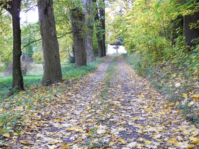
After 1945, we observe the devastation of park buildings; in some cases, the park even survived the existence of the chateau itself, which it originally supplemented (Dobroslavice, Hrabyně, Orlová). From today's point of view, the integrity of a park structures is an important criterion: we distinguish 1. Parks that have preserved their integrity (i.e. are still separated from the built-up territory walls or fence); 2. Parks that have become part of the settlement formation as public greenery (partly Javorník - Janský Vrch Chateau, completely near Jeseník, Klimkovice, Poruba, etc.) and 3. Fragments of former parks and gardens (often rare solitary trees). A unique case is the chateau park in Linhartovy, which in 1742 divided the state borders between Austria and Prussia, so one part of it with orangery still lies in the territory of Poland.
3.18 Tree rows, avenues and memorial trees
Tree rows and avenues constitute a special kind of planting of trees, most often along roads. We talk about tree rows when the planted trees are arranged in regular intervals in one line. Usually, the tree line is composed of one species of wood. The avenue usually consists of two, in some cases even more tree rows.
Although we have news about tree rows and avenues rarely already in the 15th century, we can count on their spread in Central Europe only from the 17th century, when they began to form an important landscape element of the so-called baroque landscape. The network of main roads and secondary roads with typical avenues of trees became permanently embedded in the landscape of the Czech lands, especially during the reigns of Maria Theresa and Joseph II, when the planting of trees in the avenues along the roads was even ordered by imperial patents. The “useful” trees, planted along the roads, were supposed to provide protection for travelers against the heat of the sun and snow, and the trees were also of considerable importance in terms of fruit supply.
The avenues thus became, in a short period of time, a completely typical landscape element, persisting until the 20th century. Only the mass onset of the automotive industry brought about the demise of many of them. Particularly in recent decades, they have often been damaged both by the reconstruction of the road network especially inappropriate road maintenance (salting of roads, use of herbicides), as well as and the abolition of expert groups of road administration workers who cared for the avenues in the 1970s and 1980s. At the beginning of the 21st century, the avenue was abolished under the pretext of danger for increasing road traffic.
However, some very old or otherwise interesting avenues remain protected by the state as important natural monuments. Though there are hundreds of tree rows and avenues in Silesia, only some of them are made up of memorial trees. These include the unique four-row avenue of lime trees on Uhlířský vrch near Bruntál and the avenue on Anenský vrch in Andělská Hora, as well as the avenue of oaks in Radun and the disconnected remains of the avenue of the former “imperial road” in Havířov (mainly on E. Krásnohorské Street). In addition, some avenues and tree rows are registered as a significant landscape element, e.g. the very impressive lime avenue between the chateau in Dubová and Radkov or the lime avenue from Hnojník to Komorní Lhotka. Almost half a kilometre long is a remarkable lime-oak avenue located near Janovice near Rýmařov on a track called “V alejích”. Evidence of its existence was already in the maps of the second military mapping in the first half of the 19th century. There is a hiking and educational trail through the avenue.
A memorial tree is an official designation for trees of special significance that have been declared monumental in accordance with the Nature and Landscape Protection Act.. They are marked with a plaque with a small national emblem, usually on a stand near the base of the tree. Any citizen of the Czech Republic may propose to the designated authority that a tree be declared as memorial. The Authority assesses the proposal in terms of suitability and decides on it. Each memorial tree has a protection zone in which no activity harmful to the memorial tree is allowed (e.g. terrain alteration, drainage, chemigation, construction work, etc.).
Many of these memorial trees are shrouded in legends related to history (such as Josefina's Plane Tree in Bartošovice or the so-called Brother’s Linden in Velké Štáhli). The protected summer oak in the chateau park in Linhartov is impressive. Its trunk circumference is 720 cm, height 28 m, crown width 10 m and age is estimated at approximately 850 years. It grows as a solitary tree in the chateau park and within the Czech Republic it is one of the 10 oaks with the strongest trunk. People's relationship to trees developed and strengthened especially at the time of the Czech national revival, which turned into the era of national heroes. A modern wave of interest in old and memorial trees, their stories and protection was triggered by the TV series Memory of Trees.
Avenue in Linhartovy. I. Kozelek – T. Indruch
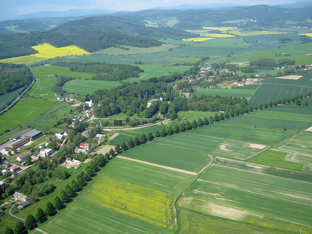
Click on the image to view the gallery..

3.19 Water and Humans
Water has always been of fundamental importance to humans. The water sources have been respected in the past, as evidenced not only by the names of the springs and wells, but also by the stories and legends that relate to them. The springs and wells were given due care, which was accompanied by various ceremonies (e.g. the opening of wells). Many springs have been attributed with healing powers. Over the last two centuries, the relationship to water has gradually changed, water has been used rather and many landscape treatments have had unfortunate consequences. As the climate has undergone significant changes in recent years, people are once again becoming aware of the irreplaceable role of water in the landscape and for life in general.
Lack of water areas in the landscape was gradually replaced by the construction of artificial waterworks. Initially, nurseries were built, later the first artificial reservoirs, ponds. Ponds were created in the Oder basin as early as the 11th century and the tradition of fish farming has continued to this day, although many ponds were closed down during the 18th and 19th centuries. One of the most important is the system of Jistebnice ponds between Studénka and Ostrava. Artificial reservoirs are also created during the extraction of minerals, especially sand and gravel. Specific habitats are flooded quarries and post-drop basins.
The end of the 19th and beginning of the 20th centuries was particularly important for the construction of weirs, when the development of industry required the modernization of old weirs and the construction of new ones. A weir is a body of water that serves to raise the head of water on a watercourse and which also usually allows part of the current to be taken out of the main channel into a weir. It serves to use the water runoff for energy production (mill, sawmill, power plant) or is built to regulate the water flow (flood protection, increase navigability). A sluice is a similar structure to a weir. The main difference is that the sluice is usually built on standing water as part of the dam and serves to ensure that the level does not exceed a certain limit, while the weir is built on flowing water and serves to increase the water level. A special water structure is an artificial waterfall, which is an imitation of a natural waterfall, a structure on a watercourse built mainly for aesthetic reasons. The artificial waterfall, which is one of the attractions of Karlova Studánka, was built at the end of the 19th century for the needs of the spa.
A unique technical monument in Silesia is the water drive, which was built by local entrepreneur Carl Weisshuhn. In May 1891, the entire 3.6 km long canal was put into operation and was used to float wood to the Žimrovice paper mills, to which it supplied water and was a source of energy.
Water structures include water reservoirs, water storage facilities for water accumulation. Their purpose is to compensate for the differences between inflows from the water source and consumer withdrawals, to provide the necessary pressure on the water supply network and to ensure a sufficient water reserve in case of fire. Water reservoirs can be built underground or above ground; tower reservoirs are built in flat areas and usually form a distinctive landmark in the landscape.
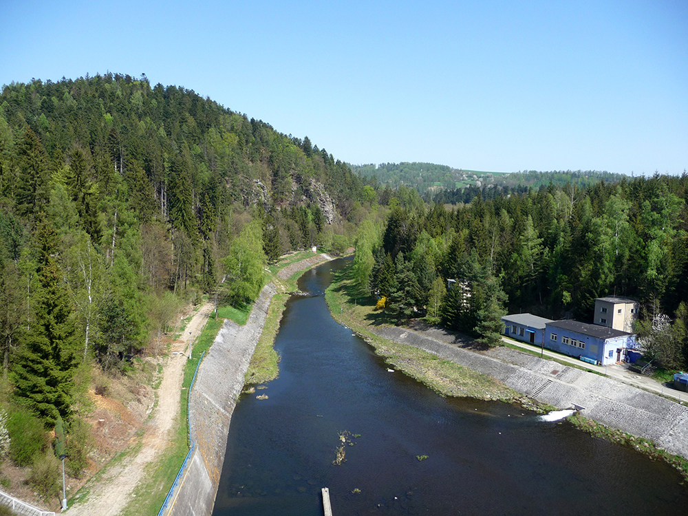
In the 20th century, intensive construction and modernization of the water supply and sewage network took place. The water supply network includes structures that serve for the supply of drinking water, the sewerage network represents a set of facilities used for the disposal of wastewater from individual objects and from public spaces to the wastewater treatment plant. Wastewater treatment plants have significantly reduced pollution of watercourses in recent decades, and thus other impacts on nature and landscape. The current trend is the return of water to the landscape, revitalization of watercourses, restoration of wetlands and other activities aimed at returning water to its original, natural function in the landscape.
3.20 Mineral Water
Mineral water belongs to the natural wealth of Silesia. Their sources are used for spa treatment and for regular drinking. Each of the natural springs has different characteristics and therefore different flavors. Mineral water are natural mixtures and solutions of various concentrations, the formation of which was conditioned by a number of factors.
The carbonate waters in the Jeseníky region have a low carbon dioxide content and low mineralization. Their indistinct chemism is caused by a rather monotonous and rock-poor geological subsoil, consisting mainly of crumbles, shales and phyllites.
A few decades ago, there used to be a much larger number of mineral springs in Low Ash Mountains (Nízký Jeseník) and they originated in many locations. The sale of mineral waters, which are also chemically treated, has caused the interest of local residents in the maintenance of springs and wells to disappear in a number of localities, so that numerous acidic waters have disappeared. Many mineral water vents in Silesia disappeared or were also damaged by extensive floods in 1997. Fortunately, the relationship to natural resources is gradually beginning to change again, and so many natural mineral waters are being renewed. An example could be the municipality of Lichnov in Bruntálsko, which invested in a geological well and managed to restore the original source of popular Lichnovská Kyselka.
The mineral water in Karlova Studánka represents acidic water typical of the Jeseník area. Hydrocarbonates and calcium predominate in the chemical composition, while strontium, lithium, iron and silicic acid are represented in smaller amounts. The cause of the mineral springs in Karlova Studánka is the Bela Fault, which crosses the northwest-southeast direction of the geologically very complicated rock structure of High Ash Mountains (Hrubý Jeseník). The faultline, accompanied by numerous fissures, allows rich precipitation to seep down to depths of up to 200 meters and at the same time provides a supply route for underground carbon dioxide, the origin of which is related to Quaternary volcanism in the vicinity of Bruntál. Although the iron content of mineral waters tends to be low, it is pronounced during discharge, when divalent iron oxidizes to trivalent iron in air, forming characteristic rusty hydroxide coatings.
In the picturesque valley of the Moravice River there is the now unfortunately devastated spa of Jánské Koupele, founded in 1809. From 1754, the strongly carbonated water here was poured into barrels under the name Melčská kyselka and imported to the chateau in Melč. Currently, the Marie and Paul Spring Pavilions are closed and the mineral water, which was very popular, is no longer available. Visitors will only get a sad view of the devastated springs.
Available vents of carbon mineral waters can also be found in other locations. Those better known include Jeseník nad Odrou, Dolní Moravice, Suchá Rudná and Zátor. There is a CO2 filling plant in Veľká Štáhl. Near Moravský Beroun, near the settlement of Sedm Dvorů, there is a pumping area from where one of the most famous minerals is transported by pipeline to the Ondrášov plant. It also belongs to a group of mineral waters whose origin is related to young volcanic activity in the Low Ash Mountains region. The same group of mineral waters includes the mineral water captured by a borehole in 1957 in Lhotka near Litultovice.

Also in the Ostrava basin there are a number of mineral water sources. Their existence was revealed by drilling in connection with the extraction of hard coal. The mineral waters in Karviná-Darkov belong to fossil, chemically transformed sea waters (brines) from Tertiary sandy layers. The iodine-bromine water is dominated by sodium and chlorine ions, and the bromine and iodine content is even the highest in Europe. The history of using iodine-bromine waters in the vicinity of Karviná dates back to the 13th century, when salt was produced in Solka (now part of Karviná). This tradition is continued today by so-called Darkov salt, used for therapeutic purposes. Klimkovice sanatoriums have a similar focus as the spa in Darkov, using the same type of mineral water. The methane is pumped from boreholes 11 km away near the village of Polanka nad Odrou, removed from the dissolved methane in a pumping station and only then is it stored in a reservoir from where it is discharged to treatment facilities.
Thermal sulphur waters, which gave rise to the Bludov and Velké Losiny spas, have a completely different character. The local thermal springs are the result of the rapid circulation of water after cracks in the earth’s crust, when rainwater penetrates to great depths (up to 1000 m), warms up and rises again. The occurrence of mineral waters in Silesia and northern Moravia has given rise to a spa tradition that is not as famous as the tradition of West Bohemian spas, but thanks to the variety of individual locations it certainly has something to offer.
3.21 Dams in Silesia
Similarly to regulating watercourses and navigating rivers, the construction of reservoirs is one of the key water management issues. In addition, waterworks carried out in the second half of the 20th century in the Upper Oder basin constitute an important phenomenon of economic and social history in the 19th and 20th centuries, because they were under the condition of political decisions and closely related to the construction of industrial plants and the construction of new cities. Their construction was facilitated by the Water Management Act adopted in 1955.
The oldest water body in the region is Kružberská Dam, built from 1948-1955 and which provides drinking water. Since there was a shortage of water even after the completion of the dam, the Morávka Dam (1960-1966) and the Šance Dam on the Ostravice River (1964-1969) were also built. By linking these reservoirs created the first water supply system on the territory of then Czechoslovakia, referred to as the Ostrava Regional Water Supply System, still constituting the basic production and distribution water system for the production and supply of drinking water for the greater part of the Moravian-Silesian Region. In addition to the dams and the distribution network, it includes water treatment plants in Podhradí u Vítkov (construction in 1954-1962), Nová Ves near Frýdlant nad Ostravicí (operational since 1969) and Vyšní Lhoty (construction in 1954-1963).
The Žermanice water reservoir, built in 1951-1958 on the Lučina River and with a dam 314 meters long and 38 meters high, was proposed for the supply of useful water and as protection against floods. For the same reasons, the construction of the dam in Těrlicku na Stonávce (1955-1964) was carried out; its dam with a sloping loess sealing core is 617 meters long and 25 meters high.
In addition to these dams, several small water reservoirs have been built in the region. Such is Baška, located on the Baštice Stream near Frýdek-Místek, built in 1958-1961. This reservoir was intended to regulate the flow of the Ostravice River similarly to the Olešná reservoir on the river of the same name from 1960–1964. From the historical point of view, this is only a part of the proposed first stage of the construction of small water reservoirs (apart from these, reservoirs were to be built on the Bystré Brook in Janovice, in Datyňka and in Krnov, etc.). Among other smaller reservoirs of younger periods, let us mention in particular the Pocheň water reservoir on Čižina Stream (1973–1975).
With considerable time, the construction of the second dam on the Moravice River proceeded. The Slezská Harta reservoir was built in 1987-1997; it is equipped with a dam 540 meters long and 65 meters high. Not yet finished, it worked well in the flood in 1997. The planned dam near Nové Heřmínovy on the Opava River with a volume of 14.54 million m3 and a dam with a height of 26.5 meters and a length of approximately 330 metres has several functions (flood protection, improvement of the flow in the Opava River, recreational functions).
Among the experts who took a theoretical interest in various aspects of water works in Silesia and Ostrava, the chemist Rudolf Jirkovský (1902-1989), the engineer František Jermář (1891-1971) and especially the water engineer Jan Čermák (1903-1989), a leading figure in the construction of the Žermanice and Kružberk Dams, deserve to be mentioned.
Kružberk with indication of the current position of the dam. SZM.

Click on the image to view the gallery..
3.22 Industrial and Post-Industrial Landscape
An industrial landscape is a phenomenon that arises in direct connection with the economic and technological development in the 19th and 20th centuries. Although economic activity strongly influenced the shape of the landscape already in the preceding centuries (e.g. medieval and early modern ore mining in a rather devastating way), this influence was significantly limited locally until the advent of industrial society. It was only in the 19th century that the landscape was subjected to hitherto unprecedented human pressures arising from a complex of fundamental technological, energy, production and social changes.
The industrial landscape cannot be imagined as a homogeneous landscape, but on the contrary: because the process was not applied across the landscape, but in a highly diversified way with the existence of industrialization islands of different types, the impact on the landscape was differentiated. This fact can be nicely demonstrated in the Těšín region. The industrialization process, which we have been following in Těšín since the end of the 18th century on the basis of traditional hardware and coincidence, began to gain momentum after the Napoleonic wars. It was based, as in many other regions, primarily on the transformation of traditional textile production into a modern textile industry (Bílsko, Frýdek), as well as on the massive development of the iron industry (Ustroň, Baška, Třinec, Lískovec), the emergence of coal mining in western Těšín and the creation of a modern food industry (initially mainly on the estate of Count Jindřich Larisch-Mönnich). Thus, the Těšín region did not develop into a homogeneous economic area, but was represented by several industrialization centers, which had a very different character. In the course of the 19th century the four basic industrial centers of Těšín gradually emerged. First and foremost, it was Bílsko and the surrounding area, where the transformation of the traditional leather industry into a modern wool industry took place. This relatively homogeneous center of wool production clearly dominated the structure of the industry in Těšín until the economic crisis in the 1870s. In the western Těšín region, during the 19th century, an industrial region was formed between Polish Ostrava and Karviná, based on the exploitation of hard coal deposits and the related coking and chemical industries. The third center was Frýdek with its surroundings, where the most important industries were textile production focused on linen and cotton fabrics and iron metallurgy, concentrated in operations in Baška and Lískovec. The last of the industrial centers of the Těšín region was relatively homogeneous – the area of Třinec and Ustroń oriented to the metallurgy and metalworking industry. At the turn of the 19th and 20th centuries, iron metallurgy and coal mining overshadowed the development of textile production in the Těšín region. The above-mentioned industrialization centers subsequently influenced both their immediate agricultural background and the multi-layered work, affected the development of the foothill and mountain areas of the Beskydy Mountains (departure or commuting of part of the population for recreational construction, massive logging and the need for forest regeneration, the impact of industrial exhalations on forest stands, etc.).
The most striking direct interventions in the landscape took place in the areas of mineral exploitation and developed heavy industry. In the course of the 19th and 20th centuries, there were usually marked landscape changes that required subsequent extensive reclamation interventions (in the Czech lands, Kladno, Ostrava, Karviná, the North Bohemian brown coal field). Large-scale geomorphological changes have occurred in the mining areas (formation of tailings piles, subsidence due to undermining, formation of flooded subsidence basins), mining has had an impact on water quality and air quality. Trends in landscape development, which we observe before 1945, manifested themselves even more strongly in the following decades. On the contrary, the landscape was significantly less destructively affected by the development of modern consumer industry.

After 1989, the opposing process – deindustrialization – began to imprint itself on the landscape relatively quickly. Deindustrialization means a reduction in production in the secondary sector, loss of jobs and a decrease in employment in industry. However, it is also accompanied by demographic changes (reduced birth rate, aging population) and changes in the settlement structure (suburbanization). Deindustrialization began to take hold in the world’s most advanced countries as early as the 1970s, affecting mainly cities with a concentration of traditional industries. This trend affected the Czech lands after 1989 and was very pronounced in the old industrial areas focused on heavy industry. In the landscape, the process of deindustrialization manifests itself in many ways, especially the sharp increase in abandoned areas overgrown with vegetation and the existence of so-called brownfields, i.e. unused or underused remains of human economic activity. As a rule, these areas (abandoned factory buildings, halls, unused transport structures, administrative buildings and adjoining areas) are located near settlements (in the center or on the outskirts, exceptionally outside), they reach a larger area (in the Czech Republic they were systematically registered areas of 2 ha and more) and are mostly carriers of environmental burden. Places with a very high concentration of ecological burdens, such as the infamous so-called Ostrava lagoons, are usually referred to as blackfield. We are currently pursuing efforts to effectively rehabilitate and reuse abandoned and ecologically marked areas.
3.23 Industrial Landscape – The Model Example of Vítkovice
Vítkovice developed from its foundation in the 14th century for many centuries as a small village of the Hukvaldy estate belonging to the bishops of Olomouc. At the end of the 18th century, according to topographer Franz Joseph Schwoy, 157 inhabitants lived in 23 houses. All the more interesting is that in the late 1920s, a decisive impulse arose from here, which permanently changed not only the local community, but also the entire region. In 1828, the owner of the estate, Archbishop of Olomouc Rudolf Habsburg, founded the first modern smelter in the Habsburg monarchy.
It was the growing ironworks, which were bought by Salomon Mayer Rothschild in 1843, that caused a huge influx of inhabitants and a permanent change in the character of Vítkovice. The company developed rapidly, especially from the late 1970s, under the leadership of excellent managers Paul Kupelwieser and later Adolf Sonnenschein, who, in addition to the company’s prosperity, emphasized the implementation of social programs, including large-scale housing (the so-called Nové Vítkovice project). If at the end of the 1960s there were less than 1,700 inhabitants living in Vítkovice, then at the turn of the 19th and 20th centuries there was a large village of almost 20,000. Before World War I, Vítkovice, that was promoted to a town in 1908, was the fifth most populous village in Moravia. Not only the majority of the local population and many from the wider Moravian and Silesian surroundings found their livelihood in the ironworks, but also a large number of migrants from Galicia, Hungary and the Balkans. The influx of inhabitants motivated the management of Vítkovice’s upper and metallurgical mining industries to build working-class colonies, clerical houses and developed civic amenities, so at the turn of the 19th and 20th centuries there was an entire new factory city. Before World War I, the ironworks expanded to more than 510 ha, which means that the extent significantly increased the cadastral area of Vítkovice (as of 1900 it amounted to 436 ha).
The Vítkovice ironworks deepened their importance in the turbulent 20th century. First, they proved their indispensability in both world war conflicts in the position of an important supplier of military material for the Austro-Hungarian and later also the German army, subsequently, after 1948, they became the pillar of socialist industrialization in the implementation of the so-called steel concept of the Czechoslovak economy. The enormous emphasis on economic function caused Vítkovice to become literally a steel city over several decades. The landscape of Vítkovice underwent rapid transformations into a completely urbanized complex overgrown with industrial operations, mines and heaps. Aerial photographs from the first half of the 1960s show that 80% of the cadastral area was built up with residential and industrial buildings, only in the peripheral areas the residues of farming activities in the form of a typical mosaic of fields and meadows, which, however, in the following decades completely disappeared.
To this day, Vítkovice is an example of a factory town in which one dominant industrial enterprise fundamentally influenced the spatial appearance of the seat and life in it. In part, today it still represents a living organism, whose historic core, typical of its architecture with gray masonry, was declared a city monument zone in 2003. A significant part of the industrial area of the so-called Lower Vítkovice area (the Hlubina Mine complex, Coking Plant, blast furnaces and related operations) was preserved after the end of metallurgical primary production and became an important cultural and social center. In 2002 the site was declared a national cultural monument and in 2008 it was granted the status of a European cultural heritage monument.
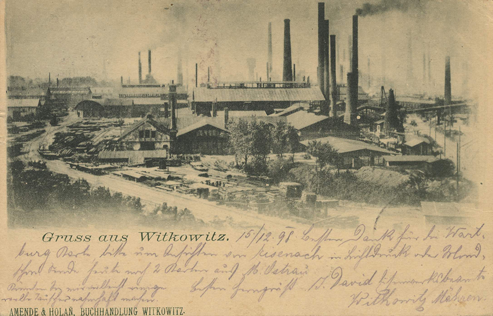

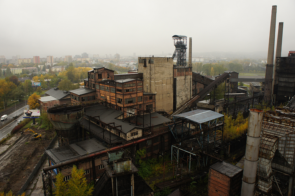
3.24 Stone Mining
The large rock variety of the geological structure of Silesia and northern Moravia manifested itself into considerable mineral wealth. The oldest material used in the past was natural stone. In the past, Silesia was famous primarily for mining and processing granite and marble.
Large granite massif served as a source of building material already in the Middle Ages, as is still evident on the oldest secular and ecclesiastical buildings in Jeseník. However, systematic mining of the local stone occurred only during the 19th century; from the 1960s, we can already talk about the beginnings of industrial production of stoneware products organized on an entrepreneurial basis. The rational use of mineral resources was the merit of professional stone schools.
The expansion of granite and marble mining and processing in the foothills of the Rychlebské Mountains, Žulovská Uplands and Zlatohorská Highlands continued despite the decline in stonemasonry during the economic turbulence of the first third of the 20th century and further decline during World War II and the subsequent departure of stonemasons from Jeseník. After World War II, stonemasonry production no longer reached pre-war volume and quality. The artistic production was completely behind, and the green light was given mainly to the purposeful production of paving blocks and other were preserved. Although granite and marble is currently mined in the Jeseníky region only to a very limited extent, the tradition of stone quarrying and processing is still very important for the region today.
Slate mining and processing has a rich history in the Low Ash Mountains (Nízký Jeseník) area and in the Oderské vrchy. Large deposits of the Lower Carboniferous age still provide quality roofing slate, which is used to repair the roofs of historic buildings, but mainly as tiles. The extraction of roofing shale had one of the decisive influences on the overall development of an otherwise industrially backward region. Mining activity has left numerous and visible documents in the Low Ash Mountains (Nízký Jeseník) region after slate mining and processing, and over time the mines and quarries have become an attractive place for tourism and recreation.
In addition to the dominant mining and processing of granite, marble and shale, other minerals were also mined in Czech Silesia. In the past, the mining and processing of limestone in the Jeseníky region became quite economically important. We have the first mention of lime burning from the end of the 15th century. The technological change in lime production, which meant the transition from small field kilns to shaft kilns in the first half of the 19th century, catapulted Jeseníky to a leading lime producer.
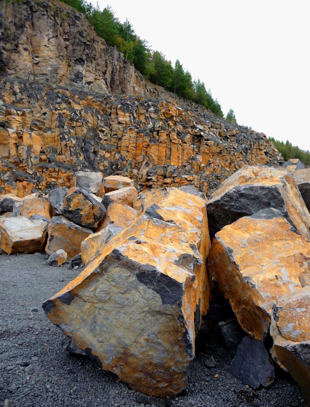
In the Opava basin there is the most important and at the same time the only mined deposit of gypsum in the Czech Republic. The first gypsum mine was opened in 1849 in Opava, followed by the commissioning of a surface mine in Kateřinky. The deposit near Kobeřice was opened in 1963 and is still mined today.
Silesia exploits rich deposits of sands, gravels and gravel sands, which are among the most important raw materials for the building materials industry. Small sand pits have been created since the early Middle Ages; larger sand lakes did not appear in the landscape until the socialist period, with gravel extraction reaching its peak in the 1980s, mainly in connection with the construction of large housing estates. The raw materials of brick raw materials are mainly deposits of quaternary dusts and dusty clays. The primary purpose of aluminum was to provide a sufficient amount of raw material for the production of bricks and other building components, exceptionally also for the production of ceramics. A deposit of kaolin was mined near Vidnava in the Žulovská Uplands, which in the past was used mainly for the production of fireclay. Today, the location is one of the most beautiful quarries in Jeseník.
Since 1990, there has been a significant reduction in the mining of minerals, especially ores and uranium, in the Czech Republic. Conversely, the extraction of some non-oil raw materials has increased, mainly due to exports and an increase in the volume of construction works. Mining has changed and is changing the face of the landscape, social conditions and the quality of the region’s environment.
3.25 Ore Mining
Humans have long been interested in the use of raw materials, which they first found on the surface, and later focused their interest underground. The beginnings of finding ore deposits and their quarries go back far into the past. Ore areas in Silesia were known already in the Middle Ages. The era of ore mining has been recorded on the face of our landscape for the longest time; however, in terms of the volume of extracted materials, the mining of ores has been overshadowed by the mining of coal and non-ore raw materials. In the 20th century there was an expansion of ore mining in Silesia, but at the end of the century mining was discontinued. The northern part of the Moravian-Silesian region is rich in polymetallic ore deposits, which in the past was of considerable importance. Directly to Silesia, we include two historically significant deposits of ores, which are among the largest in the Czech Massif. It is the gold deposit Złoty Stok in Poland (formerly Rychleby) near the border of the Czech Republic and the Zlaté Hory ore field of polymetallic ores (including gold) near Zlaté Hory.
Another significant polymetallic deposit in the Low Ash Mountains (Nízký Jeseník) used to be Horní Benešov. Numerous minor occurrences of polymetallic redness are also found in the southeastern part of the Low Ash Mountains (Nízký Jeseník), especially in the Oder Mountains. The Nová Ves u Rýmařova deposit is interesting; in the field there are highly visible remnants of historical and recent mining.
Minerals of copper ore deposits are known, for example, from Ludvíkov near Vrbno pod Pradědem. The mineralogically richest locations in Silesia include the uranium deposits of Zálesí and Horní Hoštice near Javorník, or Bílá Voda in the Rychlebské hory Mountains. The deposit in Zálesí u Javorníka was excavated in 1957, uranium ores mined here from 1959 to 1968. Iron ore deposits continue from Moravia to Silesia, which are located mainly in the vicinity of Malá Morávka and Dolní Údolí near Zlaté Hory, as well as in the vicinity of Horní Benešov. In many places in the Moravian-Silesian Beskydy Mountains, iron concretions were mined in the 18th and 19th centuries, which served as a source of iron ores and thus formed the historical raw material base of the metallurgical industry in Silesia, especially in the wider surroundings of Třinec.
Near Zlaté Hory, a replica of medieval mining mills was built in the valley of the Olešnice River with the educational trail of the Valley of Lost Drifts (Údolí ztracených štol). In the mill, tourists are shown the crushing of gold ore. Both of the wooden machines, made according to period drawings, are powered by water wheels, which draw energy from the original channel. The mountainous character of the valley and the position of the water wheels in the cascade perpendicular to the slope create a picturesque corner. There are several other very interesting educational trails in Jeseník that familiarize visitors with the mining activities that have left such significant traces in the landscape. The most interesting localities include Příčný vrch, with a rich mining history.
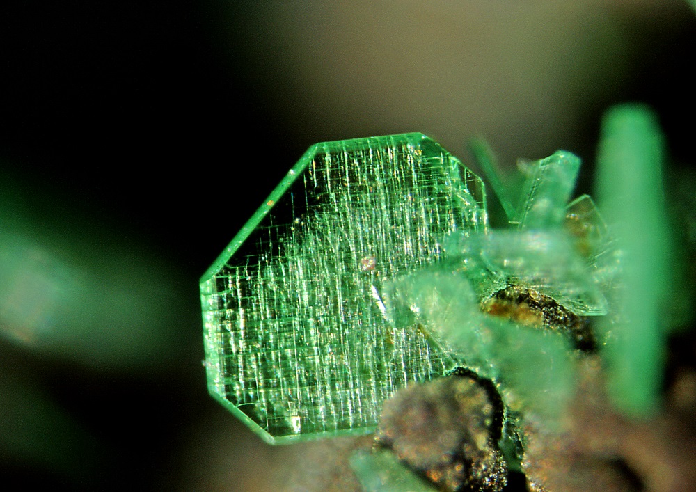
Due to the scale of mining activity in ore fields, these areas are undermined and there is an unusual amount of corridors and excavated spaces underground, i.e. significant unnatural disturbances of the rock massif, which can cause the collapse of ceilings and the collapse of the rock superstructure. Probably the most visible trace of ore mining in the vicinity of the Zlaté Hory Mountains is Žebračka abyss, protected by law as a cultural monument. In the walls of the abyss there are visible remnants of old tunnels, through which the mining floor around the chamber was torn apart.
3.26 Coal Mining
The specific and very important raw material of the eastern part of Silesia and northern Moravia is undoubtedly hard coal. During archaeological research on Landek hill in Ostrava-Petřkovice, evidence of coal burning, approximately 21,000 old, was found. It is unclear whether it was a deliberate or accidental use of hard coal. The Moravian-Silesian section of the Upper Silesian coal basin, the so-called Ostrava-Karvinský area, represents the main coal area on the territory of the Czech Republic. Further south lies the Podbeskydy coal basin, covered by the Beskydy Mountains. Coal mining was of great economic importance in the past, but in the 1990s it was gradually suppressed and eventually completely stopped. Brown coal, so-called lignite, was also mined on a smaller scale in Silesia, near the village of Uhelná in Jeseník region. This surface mine is flooded today and is used for recreational purposes.
the territory of today's OKR was still covered with fertile fields and meadows, intersected in some places by strips of deep forests, in others by pastures and ponds. It was only after the establishment of Vítkovice ironworks in 1828 and the connection of the local area to the railway line from Kraków to Vienna that an extraordinarily extensive coal mining associated with the turbulent development of industry developed. Dozens of mining towers, coke ovens, chimneys and halls of industrial plants began to emerge. Coal was not only a source of heat and energy, but gradually became a raw material for processing in downstream industries. The originally very sparsely populated region was inhabited not only by people from a wide area, but also from more distant places. For these new workers and their families it was necessary to provide housing, creating many mining colonies. Already in the second half of the 19th century, mining plants with their coking plants, power plants and Vítkovice ironworks became the largest enterprises of the then Habsburg monarchy.
The greatest expansion of the Ostrava-Karviná Mining District occurred after 1945, when coal mining was preferred as a result of the focus of the Czechoslovak economy on building heavy industry and other raw materials. In connection with the construction of new mines, the reconstruction and modernization of existing ones, coal mining, coke production and the number of manpower against the pre-war period increased by several times. Subsequently, there was extensive housing construction and linking of settlements to larger residential units. Mining activity is also accompanied by a number of negative phenomena. The transfer of matter from the rock massif to the surface can be described as a futile cause of changes in the landscape. Substrates are then moved into the mining areas after extraction and sinkholes and drop basins are formed. The dominant feature of the coal field are dumps or piles. They are made up of tailings, which is actually residual waste in coal mining, which is composed of conglomerate, sandstone, offal, arkose, dust and clay, and also contains fragments of coal and coal dust. This residual material was collected near mines, the development of technologies began to build on larger common areas in various forms, often in close proximity to cities (in Ostrava, for example, the Ema dump (halda Ema) or today the already removed tailings in Černá louka). However, conical, cumulus tailings turned out to be relatively risky (fire, landslides), which is why terraced and tabular tailings began to form. At the same time, material from the tailings began to be used for various landfills of subsidence, reclamation, transport construction, so that many dumps disappeared again.
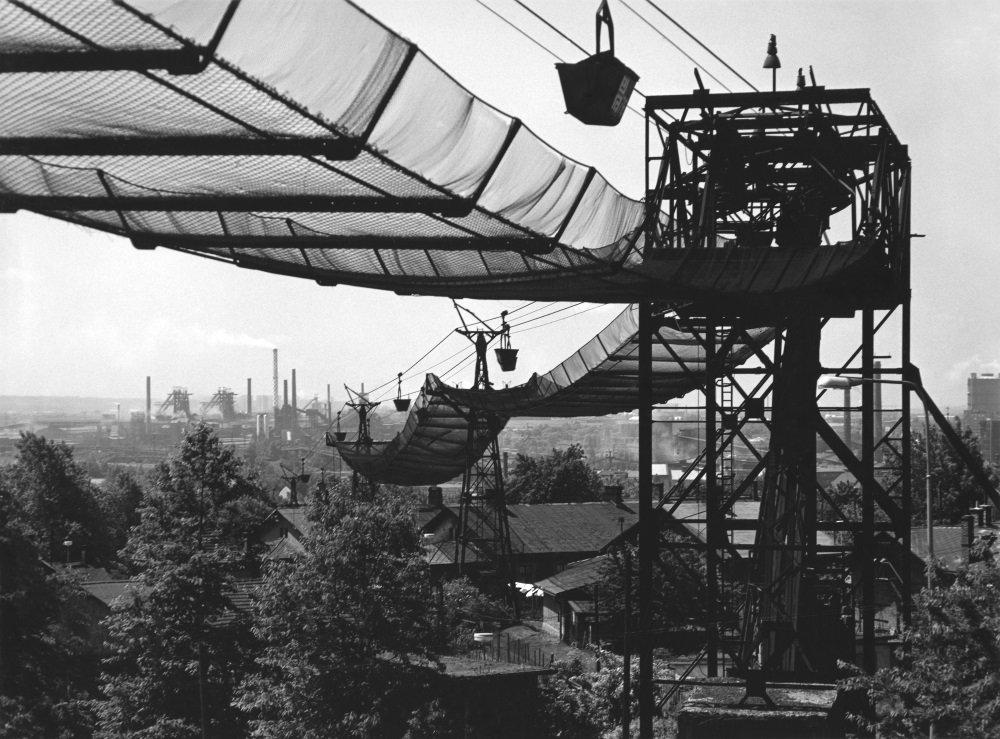
Deep mining of hard coal led to negative changes in the landscape. The impact of anthropogenic activity had a significant impact on the morphology of the undermined areas. A typical area with an intense economic burden on the landscape unit is the Ostrava-Karviná Mining District, which is part of the Ostrava industrial agglomeration. Deep mining here influenced the morphology of the terrain and the nature of currents. As a result, the landscape was degraded and devastated and the socio-economic sphere was subsequently changed. The consequences of deep mining of hard coal were most evident in the Karviná part of the district, where the originally densely populated area turned into an almost completely devastated landscape. There is also the mining area of the Lazy Mine; almost 200 years of underground hard coal mining in Orlová-Lazy was negatively affected mainly by relief of terrain due to surface deformations and water currents by changes in the slope of the bottom due to drops and discharges of mining and treatment waters. Anthropogenic surface changes also had a secondary effect on roads, engineering networks and buildings. Drop basins arise as a result of undermining a certain area and are often flooded due to groundwater or flooding. This creates drop basins or drop lakes; the average depth of the basins is 25 m. Many hectares are completely soaked in Karviná as a result of the declines of the mined areas.
3.27 Undermined Landscape
Mining activities have marked the face of the landscape since the earliest times. At first, it was gold prospecting, leaving traces in the landscape mainly in the form of so-called spoil tips (deposits of river sediments resulting from the engraving of gold-bearing sands). Mining ores, already in the Middle Ages and early modern times, brought about changes in the landscape on a much larger scale. These were both primary and secondary manifestations of mining. Among the primary manifestations of ore mining were mainly various terrain changes and formations – from smaller shafts and notches, through pinnacles (smaller sinkholes), pits and heaps. Secondary manifestations of mining include deforestation related to both own mining and, above all, ore metallurgy, as well as water current treatment in connection with both the construction of mining facilities and ore processing facilities (wheat machinery, hammer mills). Mining of non-ore raw materials also significantly influenced the landscape.
If the above-mentioned extraction affected the landscape quite intensively, but to a relatively limited extent, and in the case of ore extraction took place gradually over the centuries, then a different situation occurred in coal mining. The massive exploitation of hard coal in the Ostrava-Karviná Mining District caused extensive devastation of the landscape in a relatively short time, so it also forced massive legal action in the form of large-scale reclamations of the landscape.
The rate of changes in the landscape of the Ostrava-Karviná Mining District was determined by three basic factors: 1. The extent of the extraction; 2. The mining technique applied and 3. The power of the mined deposits. In terms of impacts on the landscape, it has become a long-term problem of setting up mined deposits. Due to the emphasis on mining maximisation, the mined deposits during World War II, as well as after 1945, were founded only in a small part and the method of controlled collapse was applied in mass. In the second half of the 20th century, this began to cause widespread damage to the landscape, especially in Karviná.
Deep coal mining resulted in geomorphological changes in the first place. In the landscape, we can encounter both primary manifestations of mining, which are mainly heaps, sinkholes, sludge reservoirs and surface structures of mines, as well as secondary manifestations, which include reclamation areas or dry sludge reservoirs. In terms of the nature of the landscape of the Ostrava-Karviná area, the typical primary manifestations of mining activity during industrialization were mainly embankments and flooded drop basins.
Historically, the oldest piles that invaded the area until the mid-20th century were conical piles, up to 80 meters high. The symbol of the mining landscape in Ostrava became the Ema Dump, which began to be topped near the Petr Bezruč Mine in the 1920s. Today, it is an attractive tourist destination, among other things, for its constant thermal activity accompanied by sulphur dioxide ejections. From the 1950s, piles with flat shapes began to be built, which had better properties in terms of dust and future reclamation. From the turn of the 1970s and 1980s, there was a turning point in the management of tailings, where it turned out to be unsustainable to store excavated stone in dozens of locations often close to the settlement. Central heaps began to form, which were large-scale deposits of debris, usually established in devastated areas intended for remediation. Despite the suppression of mining activity after 1989, blasts in the landscape of the Ostrava-Karviná Mining District constituted significant dominant structures.
The second important element of the landscape of the Ostrava-Karviná Mining District were flooded drop basins resulting from a drop in the terrain due to undermining. Terrain movements cause serious damage to buildings, infrastructure and land funds and, in the case of large drops (as in Karviná), can lead to a widespread devastation of the territory. Very often there is flooding of the fallen terrain and the creation of a flooded drop basin. Some sludge basins have been used since the second half of the 20th century to sediment flotation tailings, coal sludge or power plant fly ash, while others have been gradually reclaimed for recreational purposes. A specific primary manifestation of deep mining of hard coal are sludge reservoirs, which only began to appear in the landscape of the Ostrava-Karviná Mining District in the second half of the 20th century. Currently, the tanks are gradually mined, reclaimed and integrated into the surrounding landscape. This creates a specific environment of wetlands and water areas very often in the areas of original ponds. From a biological point of view, this creates a very valuable environment.
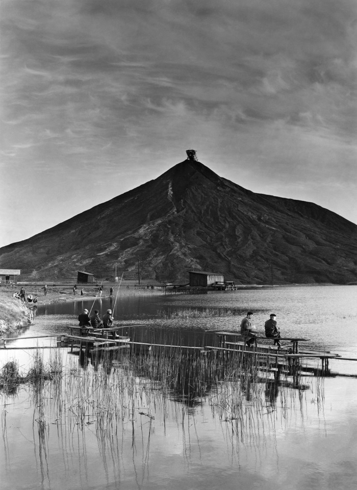
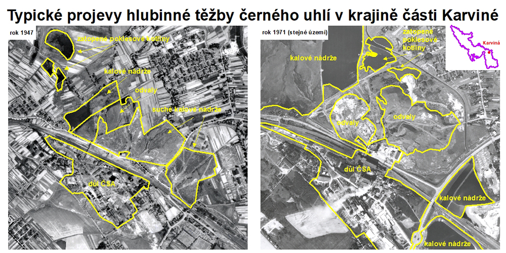
3.28 Undermined Landscape – Reclamation
The main objective of reclamation is to cover undesirable traces of human economic activity, which increasingly disturbed the existing region and the possibility of its use. During reclamation, experts are trying to re-create a properly functioning landscape system, not just from a biological point of view – it is also important to restore the landscape’s social function.
The basis for these reclamations is the so-called technical reclamation (remediation), which is based on the idea established in the 1950s and 1960s, when there was a belief that every piece of land must be used in some way. The aim of technical reclamation is to model new terrain, which is supposed to cover “scars,” include or cover fracture pits and prepare the space for planting – i.e. biological reclamation. During landscaping of large heaps after the mining of hard coal, huge amounts of scrapyard soils, or tailings, are moved. In the case of wall quarries, rocky surfaces of floors are removed and smoothed by technical modifications, vertical walls are adjusted to slight slopes, although this procedure complies with safety regulations, but completely destroys unique habitats. Mining pits are in many cases loaded with excavation soil, rubble, by-products of the energy industry, sewage sludge for economic reasons. A fundamental shortcoming of such large-scale technical reclamations is the completely inappropriate reduction of the morphological diversity of the terrain and the devastation of valuable habitats, which have been created in appropriate parts of the sites for the future appearance and functions of the landscape. Technical reclamations are mostly oversized, and thus very expensive.
The most suitable alternatives are the so-called nature-friendly recovery methods, based primarily on the exploitation of ecological succession. The main objective of such remediation and reclamation is the direct protection of endangered or specially protected species of wild plants and wildlife. Natural reclamation has been applied in our country especially in recent years. During mining, quarries are already shaped to the target state; what is ideal is to allow for natural succession and external interventions only to regulate it.
In the Czech lands, rehabilitation activities began before World War I in northern Bohemia in areas devastated by surface brown coal mining. In the Ostrava-Karviná Mining District, first the rehabilitation measures leading to ensuring the quality of local waters were discussed. Already during the 1920s, a number of projects were implemented, some of which were relatively close to the later implementation of mine remediation of damaged landscapes. These included various treatment of watercourses and backfilling of swampy areas in the Ostrava agglomeration, for which the amount of tailings debris was used, which swept the Ostrava landscape. In the early 1950s, in connection with the enormous increase in mining production and the associated mining damage, there was first a discussion on a comprehensive plan for the rehabilitation of the coal field. From 1956 onwards, it began to carry out its own rehabilitation and reclamation cultivation activity, albeit on a relatively small scale for a relatively long time. The increase in reclamation and activation efforts was observed especially from the turn of the 1970s and 1980s, when the management of mining debris was significantly rationalized. Between the end of the 1970s and the beginning of the 1990s, large-scale reclamation was carried out, while entire mining areas in various parts of the Ostrava-Karviná Mining District were gradually reclaimed (e.g. Jan Šverma Mine in Ostrava-Mariánské Hory, Julius Fučík Mine in Petřvald, Dukla Mine in Havířov).
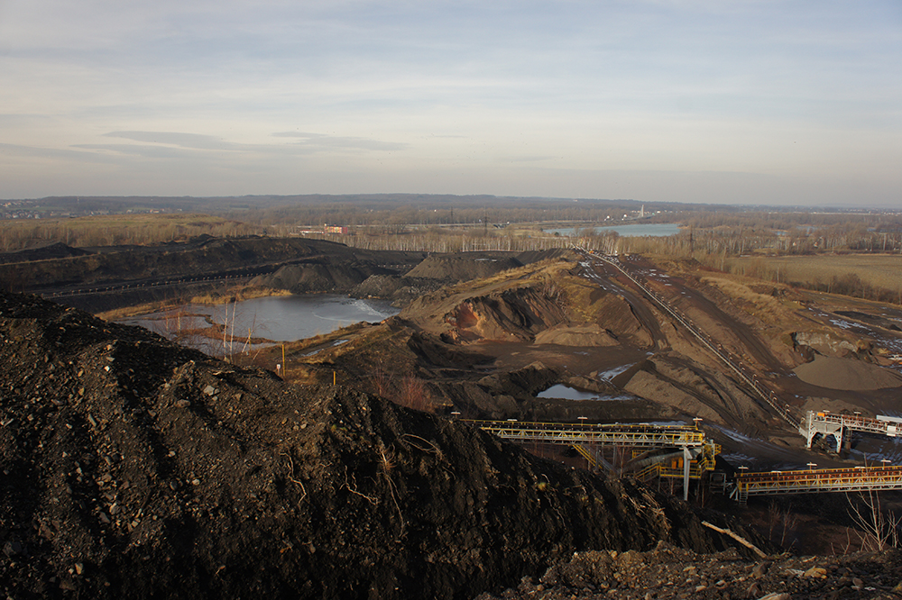
In connection with political and economic changes in the late 1980s, the reclamation works ceased to be covered by the state budget and the elimination of the consequences of mining activities was transferred to individual OKF plants. In view of the economic conditions, classical farmland cultivation was completely abandoned by 1997, which was one of the main objectives before 1989. The successor joint-stock company OKD Rekultivace had to adapt its activities to radical changes in the mining industry sector. In the last twenty years, it has mainly provided reclamation work for mines in the Karviná Region (e.g. reclamation of Darkov’s territory) and contributed to the disposal of old ecological burdens (e.g. rehabilitation of the former Karolina coking plant in the center of Ostrava).
3.29 Transport Development – Road Network
The Central European landscape has been slowly changing since the 18th century, also due to the construction of new transport arteries. Already in the 18th century, we can observe (not only) the first wave of traffic modernization in the Habsburg monarchy, which was marked by an attempt to systematically build waterways and high-quality stone roads. Modernization of road transport in the 18th century and in the first half of the 19th century is thus connected with the construction of stone roads – so-called chaussée.
For what reasons did the Enlightenment and Absolute State build an expensive transport infrastructure? Supporting supra-regional trade was cited as the main reason for the construction of state roads, which coincided with the mercantilist principles applied at the time. The military-strategic reason was very strong. New roads have in many cases become a means of strengthening the territorial integrity of the state unit and played an important role in the fixation of peripheral or newly acquired territories. This feature is evident, for example, in road construction in the Moravian-Silesian region. It was motivated after the Silesian wars by the power detention of the area of Austrian Silesia and later also by the newly acquired Haliče.
Road structures of the 18th and 19th centuries with their character and routing significantly differed from older types of roads, which adapted the terrain to the maximum extent and did not have a solid surface. The new “imperial” roads were supposed to keep the direction as level as possible, which resulted in the occupation of new land and sometimes even litigation with landowners. They were equipped with drainage systems and, from the point of view of ensuring protection against gusts and wind, alleys formed by useful trees. Their surface had an arched shape, which drained rainwater and a stone base with a gravel layer, which was to ensure good driving ability.
We can take a picture of how these extremely demanding buildings influenced the landscape, for example, thanks to preserved unique manuscript maps, which were made in the 1970s in connection with the construction of the Silesian-Haličian road from Opava to Těšín and Bílsko. The trace of these generous buildings can still be found in the landscape today, although they were modernized, expanded and covered with a new surface in later centuries. An example could be the original route of the mentioned Silesian-Haličian road, which led from Opava to Ostrava until 2015 on the original imperial road.

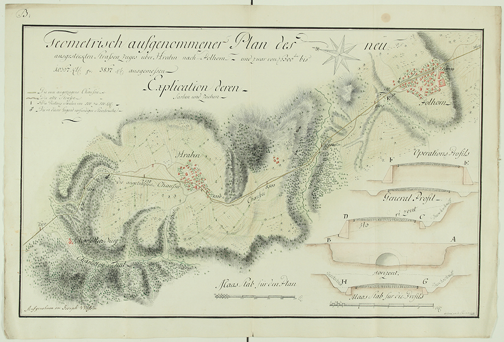
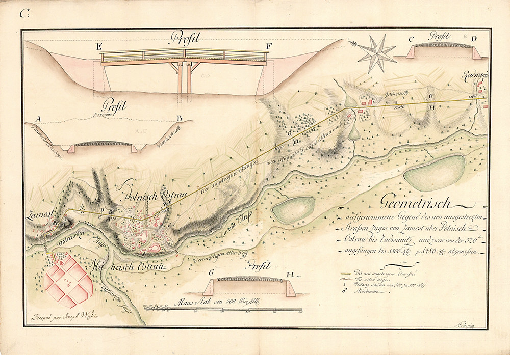
3.30 Transport Development – Railways
Since the 1930s, there have been significant changes in the Czech lands in terms of the development of transport systems. Until now, the backbone of supra-regional trade consisted of a small number of state-built and maintained “imperial” roads. If natural conditions were appropriate, navigated streams of major rivers could play a similar role, but this was not the case in the monitored area. Since the early 1930s, however, a new transport system – railways – was rapidly being promoted throughout Central Europe. It was the railway that significantly influenced the appearance of the Silesian landscape in the course of the 19th century and this influence continues to this day.
The railways, which in many ways became directly the embodiment of the industrial age, also played a significant role in shaping the landscape in addition to the economic impacts. These significant linear structures mainly meant a significant geomorphological intervention. The railway body had to be built in the most direct direction possible and without significant climb or descent, which necessarily meant the construction of a number of new bridges (or viaducts), notches, tunnels and required extensive modifications of the surrounding terrain. How demanding the construction could be made a picture in the case of the Moravian-Silesian Central Railway (Olomouc – Krnov – Opava; Krnov – Jindřichov in Silesia), where on the 115 km long track it was necessary to build five tunnels with a total length of 744 m and between Hlubočky and Domašov alone the railway had to cross the Bystřice River 22 times. The construction of some railways in Jesenicko and Těšínsko was also quite demanding. In general, it can be stated that in terms of the impact on the landscape, the construction of the main lines caused greater interventions; local railways were often built with a view to saving money with an effort to adapt the railways as much as possible to the landscape. An example of trying to adapt the track as much as possible to the terrain can be the twenty-kilometer narrow-gauge track from Třemešná to Osoblaha, where the sharpest railway arch in the Czech Republic is located near the village of Liptáň (radius only 75 meters).
However, in view of the current situation, it should be borne in mind that basically all railways were originally designed only as monorails, the construction of the second (or other) railways could only take place after they proved their profitability. As a rule, double-tracking was allowed to railway companies only with a greater time lag. For example, in the case of the Košice-Bohumín Railway, the second track was built gradually from the end of the 19th century, most of the track was double-tracked until the 1930s and as a whole only in 1955.
Construction of the railway also significantly affected the construction development of cities and municipalities. It was far from just the construction of railway buildings, which in some cases, especially after later reconstructions, acquired a very representative appearance (e.g. Opava-East or Ostrava-Svinov), elsewhere forming a relatively unified railway architecture of the respective transport companies. The station usually brought a new road network hub to the urban area, which had to be connected with the city center, and during the second half of the 19th century, the phenomenon of railway streets emerges. These become not only a living transport artery, but also a space for representative civil and commercial development.
The steam railway also significantly influenced the landscape with its emissions and noise. In the 19th century, this phenomenon was perceived in contradiction. While most peasants saw a smoking and rattling locomotive at least in the early stages of endangering their agro-cultivation efforts, for others it was a symbol of progress and prosperity. Prosperity in these considerations was linked to economic recovery and the gradually collected data was correct in this view. The correlation between the development of the economy in Silesia and the existing transport network, which strongly influenced the landscape, is also evident from the map commissioned by the Opava Chamber of Commerce and Trade in the early 1980s. It captures the state of the railway network in Silesia after the completion of the construction of the main railroad network in the Czech lands, i.e. at the very beginning of the era of construction of local railways. At the same time, the developed industry of Silesia is visible in the final phase of the Industrial Revolution.
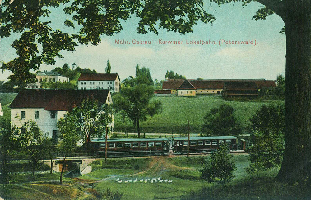
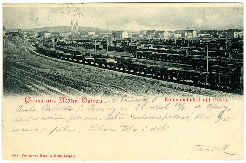
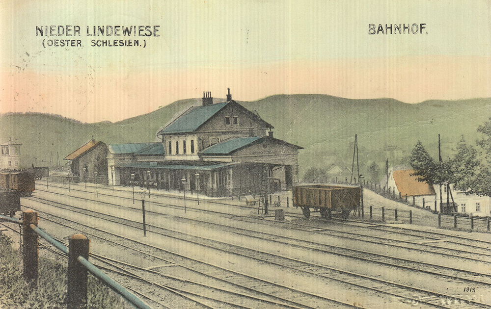
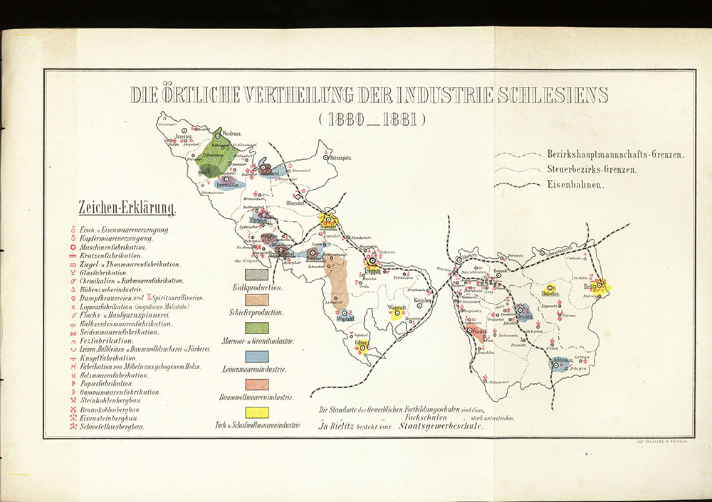
3.31 Development of Transport – Aviation
Aviation is a significant attribute of the modern era, technical development and a symbol of the acceleration of economic and social life in the 20th century.
The tradition of aviation derives from the brothers Wilhelm, Josef and Leopold Žurovce. In the years 1909–1911 they constructed their own aircraft, in 1913 exhibited in the hall of the inn in Albrechtičky, in the years 1912–1914 they conducted air experiments at the field airport between Albrechtičky, Mošnov and Harty (German Lilien) – the settlement from which they came and which later gave way to the construction of Ostrava airport in Mošnov.
World War I brought about a change: aviatics, still based on technical experiments and appearing as an attraction for spectators, became a destructive weapon. Significant development of military aviation enabled a number of young, technically talented people to get acquainted with aircraft of various designs and acquire their control, which they could apply in the civil aviation sector after the war. However, it was formed only very slowly. Military operations at the end of the war are related to the short-term existence of the airport near Hrabová, where the Czechoslovak air hundredths landed, which participated in events related to the liberation of the Teschen region occupied by Poles (1919).
If Czechoslovak military aviation acquired new machines after World War I, civil aviation in the region did not develop for a long time. On 7 March 1926, the Masaryk Air League (MLL) was established under the protectorate of President Masaryk. For Silesia and Ostrava, its county headquarters in Opava (28 November 1926) were established, transferred to Ostrava in 1934. Masaryk Air League established the airport west of Bohuslavice near Dolní Benešov, opened in September 1928, on which from 1 July 1935 briefly operated air link with Prague. In 1936, the airport was closed down. Masaryk Air League in Moravian Ostrava acquired for its airport the area north of the railway line Svinov – Ostrava, the main railway station, from the east defined by Přednádraží. It was an area of 600 × 400 square meters. It was the venue of air model races, sailing and from 1932 it was the venue of air days.
On 10 December 1926, a local MML group was established in Místek, operating only from 1931, headed by General František Melichar. The local aviation enthusiasts had the Pod Štandlem airport at their disposal, located near the road passing Sviadnov and with an area of 350 × 850 meters. There were also sports activities, sailing, modeling, members of the club were involved in the construction of gliders in their own workshop.
Masaryk Air League focused on the promotion of aviation, its popularization and competitive activities, while aeroclubs focused on the gradual professionalization of aviation, which conditioned its use as part of modern long-distance transport. Ostrava reached this stage of development with the establishment of the Ostrava branch of the Czechoslovak Republic Aeroclub (June 1935). Aeroclub focused on sports aviation and pilot training and after a number of negotiations acquired the airport in Hrabůvka, at which Mošnov – aircraft of Czechoslovak Airlines on the runway, 1959 the first motor-powered aircraft landed on 3 August 1936. Gradually, aeroclub hangars, OKD Mining Aerospace Club, the Vítkovice Ironworks and MLL, were built near the airport.
The dramatic political situation of the second half of the 1930s emphasized the strengthening of military aviation, which was also reflected in the “One Thousand New Pilots for the Republic” (1936) campaign, aimed at training new pilots for potential military purposes. From 1934 Moravskoslezská vozovka, a.s. in Studénka produced aircraft engines and airplanes. The factory airport in the vicinity of the plant operated until 1945; at that time, however, it served military purposes. At the end of the 1930s, a gendarmerie air patrol was established at the airport near Dolní Benešov. A breakthrough in aviation in the region of Silesia and Ostrava came about by the period of 1938–1939. The airport in Dolní Benešov in 1938 – and again in the spring of 1945 – was used by the German occupation power. At the end of August 1939, the Luftwaffe used the area near Mošnov, where the Žurovec brothers used to test their planes, to raid Poland. As the occupation of Poland progressed inland, German air forces moved to Prussian Silesia and Poland. The field airport near Mošnov thus ceased to exist and was restored only in early 1945 to serve the retreating German army. The same purpose was laid down by the factory airport in Studénka. At the Moscow airport on 10 May 1945 landed the aircraft of the first Czechoslovak air division.
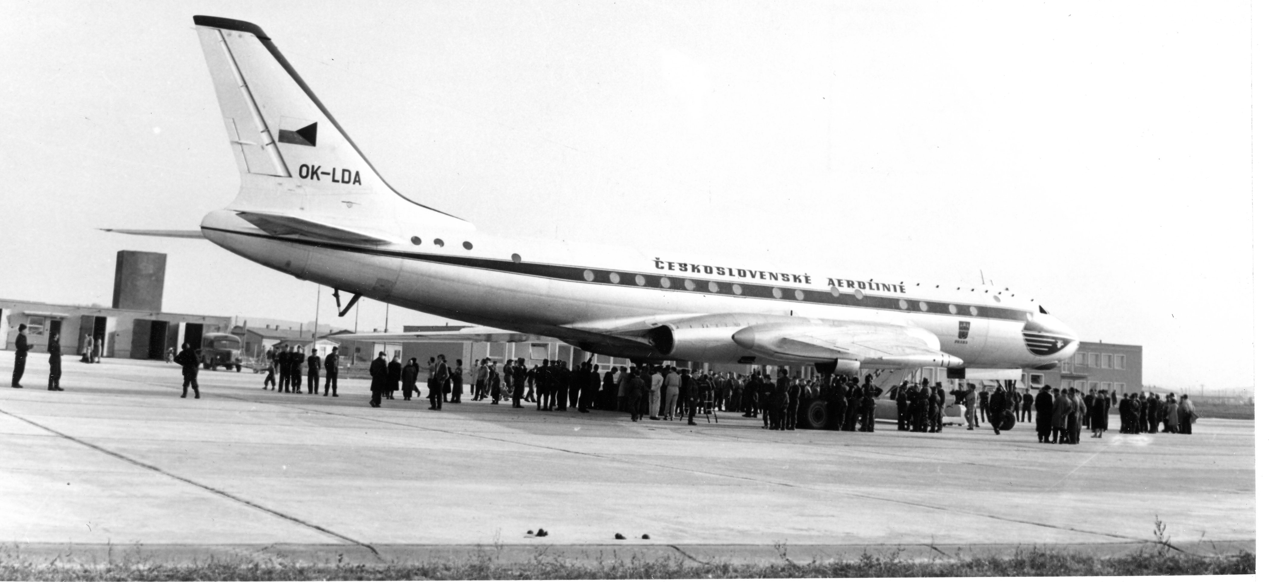
Since 1945, aviation stakeholders have been associated in the Czech National Aerospace Club, which created a network of local organizations (Místek – Pod Štandlem airport, 1947–1951; Bahna locality, 1953–1962; Vítkovice and Moravská Ostrava – Hrabůvka airport; Opava – Dolní Benešov airport; Jeseník, 1947–1954). The situation in aviation after February 1948 was marked by political cleansing among pilots and organizational changes. For industrial Ostrava it was necessary to build a new transport airport, which could be used in the event of war by the army. The choice fell on the arena near Mošnov (construction 1957–1959; part of the airport area was used by the army). Interest in aviation was no longer associated with Aeroclub, but with the Czechoslovak People’s Aviation Union, whose activities were taken over by Svazarm (founded in 1951). It acquired a new airport near Dolní Benešov (construction in 1959–1961). The reconstruction of the aeroclub in Jeseník fell within the years 1967–1968; then the construction of the airport in Nové Ves near Mikulovice, completed in the mid-1970s, began.
1989 brought a number of major changes to the aviation sector. First of all, there was a radical reconstruction and modernization of Ostrava airport in Mošnov, which became the property of the Moravian-Silesian Region in 2004 (since 2006 as Leoš Janáček Airport). As for leisure activities, the aeroclub in Frýdlant nad Ostravicí, the Silesian aeroclub in Zábřeh near Dolní Benešov and Jeseník aeroclub could build on their earlier activities; for other aeroclubs, the activity was resumed after a longer break. In 1997, the Pobeskydský aviation club Frýdek-Místek was established with an airport located south of the former settlement of Bahno. The public national airport is also located in Krnov and is operated by the local aeroclub. Small airports can also be found near Trnávka, Velké Hoštice, Hať and Sedliště and near the Slezská Harta dam.
3.32 Natural Extremes and Their Impacts
Natural extremes affect our territory every year and cause material damage, in extreme cases there are also losses of human lives. The most devastating phenomenon are floods, which can take on the character of natural disasters, as in Moravia and Silesia in July 1997. Other hydrometeorological extremes include torrential and long-lasting precipitation, droughts, storms, hail, frost phenomena, large amounts of snow, extreme hot or cold waves. Geomorphological extremes may also have significant local impacts in the landscape, which are represented mainly by slope processes (e.g. sutures, rockfall, mud and mudflow). In our conditions, floods, droughts and storms are among the most important hydrometeorological extremes.
The opposite extreme is drought. Historical sources tell us about the occurrence of dry years. Extremely rich records exist for the drought of 1947, which also played a significant role in the socio-political sphere. Droughts have hit our agriculture several times in this century. Increased frequency of dry years, their intensity and area range are therefore long-term droughts. The drought and its negative impacts are cumulative, such as a decline in shallow groundwater, a gradual reduction in soil moisture reserves, and the risk of drought is now the highest in 130 years.
Wind itself does not pose an immediate danger to man, it becomes dangerous only by increasing its intensity and speed (storm) and consequently by acting on buildings and buildings in the vicinity of people. Wind can break branches, overthrow trees, destroy buildings, electrical wiring, telephone lines, cause problems in rail and road transport. However, even the occurrence of tornadoes is not unusual in the Czech Republic, although their destructive effects are significantly weaker here. In 2013 there was a tornado near Krnov, the wind vortex causing considerable damage mainly to forest stands. Atmospheric vortex (thromba) was observed in 2010 near Kobeřice and Štěpánkovice.
Dangerous phenomena include slopes and rockfall. It is a risk geofactor caused by slope movements of soil, debris, rocks or rock massif due to geological processes. Fortunately, this phenomenon is often significantly limited in terms of space. In June 1921, during a cloud storm in the Hučivá Desná valley, there were landslides on the western slope of Červená hora below Vřesová natural spring. The mass enclosed the valley and created a reservoir, the subsequent rupture of which brought catastrophic consequences throughout the river flow. The massive descent occurred in May 2010 after heavy rains on the southern slope of Girova (Jablunkovské mezhoří). A special kind of slope movement are snow avalanches. The mechanism of movement is the same as for slides, but the material transported here is made of snow. Avalanches are tied only to mountain areas and mostly to the winter season. The largest number of avalanches in Moravia and Silesia falls in the Great Basin in the Jeseníky Mountains; the snow cover here is the highest in the glacial karst and is dangerous even during spring snow melt.

3.33 Current Natural and Anthropogenic Processes in the Landscape
As an extremely dynamic system, the landscape has a certain ability to maintain a stable environment, return to its original state after disruption or find a new equilibrium state suitable for further existence. The speed of the processes currently taking place varies. Interventions and changes that initially appeared disruptive may over time become an appropriate part of the landscape. It has been and is constantly being transformed by natural processes to which humans have also joined during their existence. After humans became an important landscape creator, natural and anthropogenic processes are overlapping and interplay, with anthropogenic influences on the landscape becoming increasingly intense.
Water is a very sensitive component of the landscape. Surface water and groundwater are polluted by acid rain, industrial emissions, sewage, application of chemicals in agriculture, etc. Surface water even contains components of medicines that enter the water from pharmaceutical factories, hospitals and households, but also from the illegal manufacture of narcotics. The delay in groundwater pollution is reflected in the increased use of nitrogen fertilizers in the 1960s and 1970s. Landfills are a potential threat and care must be taken to avoid leakage into groundwater when constructing and operating them. Water degradation can also occur as a result of salting roads.
A serious problem is the condition of agricultural land and forest stands. Agricultural land is being reduced and its physical condition is constantly deteriorating (chemical fertilizers, soil oppression by heavy machinery, erosion and denudation). To this is added the acidification of soils and their depletion by important elements. Also the condition of our forests has recently changed, single-species spruce growth has been damaged by drought and subsequently attacked by bark beetle, the condition of forests is also adversely affected by long-term acidification and nutritional degradation of forest soils.
Weather extremes show how vulnerable the manmade landscape is. In particular, problems in agriculture and water supply are linked to droughts. Torrential rains tend to be increasingly devastating, which is related to the numerous negative hits on the landscape in the past. The retention capacity of the landscape has been significantly reduced and the landscape, influenced by intensive agriculture, housing and other factors, is no longer able to accommodate the required amount of water. Although various construction measures are effective protection against floods, they are also a major impact on the landscape.
Significant landscape changes occur in connection with extraction of mineral resources. Not only the deposits themselves, but also the natural environment in their vicinity are at risk. Mining results in the loss of soil, destruction of vegetation cover, may affect agricultural, forest and water management, and worsens the ecological conditions in the surrounding area. At the same time, however, interesting new biotopes can be created after the end of mining, which are often inhabited by rare species of plants and animals.
Construction activities are also underway on a large scale. The process of densification and expansion of the road network and the associated fragmentation of the landscape continues. A serious issue closely related to the construction industry is the risk of landslides, which is commonly addressed as part of the foundation of new buildings. Areas where landslides have occurred in the past (steep banks of the Šance Reservoir) are also monitored. Smaller ranges of slides can be activated by floods (the Carpathian Flysch Belt, the foothills of the Jeseníky Mountains).
For a long time, the mining, metallurgical, chemical and energy industries had a dominant influence on the individual landscape components of Czech Silesia. Industrial activity is still one of the main influences on the atmosphere, affecting the quality of groundwater and surface water, landscaping for the construction of industrial buildings, etc. All these aspects can affect the individual natural components of the landscape. After deep mining in the Ostrava-Karviná district, extensive interventions in the relief remained in the landscape; some are already completely (Darkovské moře, Karolina, Lazy, Louky nad Olší,) or partially reclaimed (Ostramo Lagoons, Heřmanice dump). The specifics of Ostrava are two burning coal heaps (Ema dump, Heřmanice dump), on which a number of geochemical and mineralogical processes take place during the burning of the tailings. The Heřmanice dump is currently decreasing. Recent research on gases shows that burning tailings are far from as risky as expected.
Although our area is relatively quiet seismically, small earthquakes do occur from time to time. Specific features are anthropogenic shocks caused by mining activities, rockets in quarries and traffic operations. In Silesia, more significant tremors occur only in undermined areas (Ostrava, Karviná). Movements caused by undermining remain a current problem in the Ostrava and Karviná regions, mostly decreases that will continue to subside for many years despite a significant decline in mining.
Specific conditions arise in larger cities (large area of buildings, significant heating, small area of vegetation, rapid water drainage, etc.). The construction works are affected by anthropogenic and natural influences that lead to their degradation (the effects of erosion and corrosion processes). The geomagnetic field is affected in cities and in the vicinity of high-voltage lines, in large cities so-called thermal islands are formed in the summer. In an area that was either intensively used by humans or directly created and later abandoned, a so-called new wilderness is emerging. It is a very specific environment, often on urban peripheries, which for some reason was abandoned and left to its development. Very soon, the early stages of success begin, and the locality is overgrown with herbal communities and bushes. Insects, birds and animals find their refuge here, as well as shelters for the homeless and a black landfill.
A person usually tends to look at all processes currently taking place only from his or her point of view, but this can be misleading. For example, although floods are catastrophic events (property damage, loss of life), from the point of view of other organisms they can be of benefit to themselves. Especially after catastrophic events, the ability of the landscape to return to its original state is clearly visible.
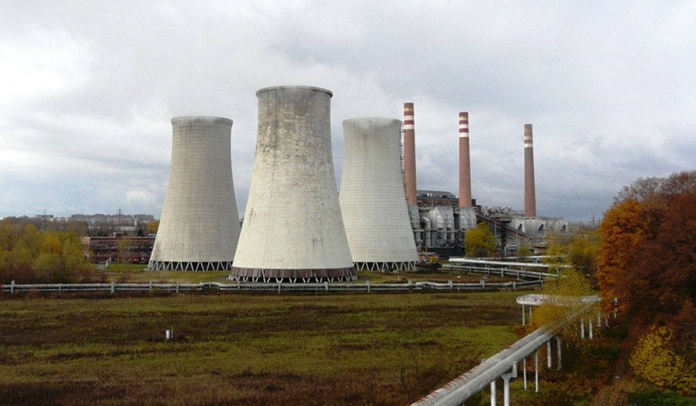
Adapting to climate change. The results of research in many scientific fields clearly show that climate change has been taking place in recent years. The effects of these changes can be disastrous, which is why it is necessary to prepare for them as much as possible. Adaptation means coping with the impacts of a changing climate. We consider adaptation measures to reduce vulnerability to the impacts of climate change. In 2017, Government Resolution 34 approved the National Action Plan for Adapting to Climate Change. The plan is an implementation document of the Strategy for Adapting to Climate Change in the Czech Republic from 2015 and is structured according to individual manifestations of climate change. The negative impacts of climate change include long-term drought, floods and torrential floods, rising temperatures, extreme meteorological phenomena (heavy rainfall, extremely high temperatures, extreme wind) and natural fires.
Adapting to climate change also includes measures to limit the negative effects of extremely high temperatures. Extreme temperatures have an impact on entire ecosystems, but most of all they manifest themselves in urbanized areas. Heat loads can lead to health problems, increased energy supply requirements for cooling, negative impacts on economic performance and reduced quality of life. Impacts on agricultural production are extensive, problems can arise in energy and water management. In the urban environment, it is necessary to limit the influence of the so-called thermal island of the city – adapt buildings to climate change, increase the share of vegetation and water areas, etc. Thermal islands also create fields after harvesting, their surface temperature reaches up to 50 °C and the landscape dries much more. Large soil blocks are drained to suit crops whose cultivation is economically advantageous (rapeseed, corn and cereals). From 2020, farmers have to divide and cultivate more plant species in areas at risk of erosion according to the government regulation, or divide the fields into protective belts with crops beneficial for the soil. This should lead to an improvement in the landscape’s water retention capacity.
The climate conditions of the last few years have again highlighted a serious threat – drought, the effects of which are economic, social and environmental. According to the available climate models, a further increase in air temperature and the associated increase in the risk of occurrence and duration of drought is very likely in the future. The effects of long-term drought are exacerbated by many years of inappropriate management in the landscape, especially on agricultural land and forests, but also in the built-up area. The combination of drought and inappropriate management leads to degradation and erosion of agricultural land and to a reduction of its production potential. In urbanized areas, not only water scarcity can occur, but also deterioration of water quality or directly contamination. Attention must be paid to improving the water regime in forests and agricultural landscape. Rainwater management in inhabited areas and industry also has considerable reserves. Natural retention capacities of watercourses and basins should be increased, effective conservation and use of water resources should be ensured, as should the implementation of new resources.
Floods are inherently a natural phenomenon that cannot be completely prevented, all the more emphasis must be placed on effective prevention. Floods have the greatest negative impacts on heavily urbanized areas, water management and agriculture, transport, industry and energy. Attention should be paid primarily to those areas most at risk of flooding already today. Land use planning must take into account the principles of flood prevention so as not to create additional risk areas.
Forecasts predict a further gradual increase in average temperatures in the Czech Republic by 2099, with the highest temperatures within Silesia remaining in the Ostrava basin. It is reported that the average temperature of the earth’s surface in Europe is 1.3 °C higher than the average in the Pre-Industrial period. As temperatures increase, there will logically be a significant prolongation of the growing season and a shift of vegetation degrees and areas of species to the north or higher altitudes, which would also mean changes in the species representation of trees. The increase in temperatures combined with long-term drought, of course, increases the risk of withering forest stands and the risk of forest fires. Higher temperatures may cause a decrease in surface water quality. Ensuring stable ecosystems, in particular in forestry, agriculture and water management, should be the most important adaptation to temperature rises and subsequent manifestations. As drought and high temperatures increase, forest and grassland fires and agricultural crops are also expected to occur more frequently.
In all these cases, it is necessary to strengthen the ecological stability of the landscape and to reduce the risks associated with the above-mentioned phenomena. It is also important to ensure the flexibility and reliability of the transport sector and to develop and strengthen an integrated rescue system. Successful adaptation of the territory of the Czech Republic to the negative impacts of climate change is a fundamental task for the government and state institutions, but it is necessary to focus in particular on adaptation activities at the regional and local level. Priority should be given to solutions that have a positive impact on more aspects of climate change. Research into the negative effects of climate change and evaluation of the best ways to adapt the landscape and society to these changes requires not only cooperation between many different fields, but also education, training and awareness-raising.
3.34 Return to Nature – Mountain Tourism
People in the past long regarded the mountains as a desolate, ominous and unsafe space inhabited by dark forces and ghosts, where it is not advisable to enter. But during the second half of the 18th century, due to the adverse effects of industrialization on cities, due to the sentimental Rousseau cult of nature, thanks to expeditions of scientists and soon the romantic concept of the terrifying “Noble” mountains transformed in the eyes of travelers. The traveller’s solemn gaze on the hills and rocks is tinged with wonder, awe and beauty. A tourist view of the mountain landscape was born. Once inhospitable and insidious, it turned into a “place” where scientists, enthusiastic intellectuals, and eccentric artists can experience an “authentic,” “ancient,” “virgin,” and “wild” environment. Everything you don’t get in civilized cities.
The passage of the Liberal Federal Act of 1867 freed the legs of organized mountain hiking, giving challenging hikes a sporting touch in the form of the self-indulgent enjoyment of physical exercise unknown to romantic hikers. The model would be British (1857 Alpine Club) and Austrian (Österreichischer Alpenverein) alpine clubs. In Silesia, the demand for mountain hiking was concentrated in the north in the Jeseníky Mountains, the Králický Sněžník massif, the Rychlebské Mountains and in the south in the Beskydy Mountains. In 1881, the Mährisch-Schlesischen Sudeten-Gebirgsverein was founded, whose members intended to popularize the Jeseníky ridges within a few decades: to report on the weather, distribute postcards, establish mountain trails, signposts and resting places, build lookout towers and viewpoints, provide them with orientation boards and binoculars, provide cheap fares, and publish recommendations for good inns, restaurants and accommodation. The association also organized excursions, exhibitions and lectures. It established a library, published scientific writings, maps and printed guides. In the Czech lands it would be a club with a wide territorial scope, headquarters in Jeseník and a number of subordinate sections. With a membership base of 4003 people as of 1911, it would maintain hegemony in the Jeseníky Mountains, even after the formation of Czechoslovakia and despite the efforts of the Club of Czechoslovak Tourists, with which it would also establish a number of cooperation.
Even before 1888, the Club of Czech Tourists was founded, the Radhošť Mountain Unity was established in 1884. Only then in 1893, i.e. with some delay due to the lack of German background in the predominantly Slavic Beskydy, the competing organization Beskidenverein opened with its headquarters in Moravian Ostrava (since 1895 in Teschen), which after 1918 included over 6000 members. Beskidenverein was more active in publishing publications and magazines, but both associations focused on promoting the Beskydy Mountains through tourist guides, maps and organizing various awareness-raising events, theater performances, dance parties, trips, exhibitions, film screenings and lectures. During the first half of the 20th century, a series of exemplary nationalistic conflicts erupted between the two organizations over the “rule” of the mountains. For example, the struggle would manifest itself in friction during the construction of their own shelters or huts and would also significantly affect the marking of hiking trails. It was not necessarily always Czech-German. The Germans were also struggling with the Polish Tourist Association, while Pohorská jednota Radhošt', on the other hand, was resolving differences with the Czech Tourist Club. While the Beskidenverein with 3690 members by 1927 successfully conquered the Beskydy foothills and some important peaks such as Babí hora, the Pohorská jednota with 6152 members by 1934 conquered the area of Pustevny, Radhošť and the peak of Velký Javorník.
Organized tourism would also feel the unification of physical education by the communist regime after 1948. First, all tourist clubs would be dissolved in Sokol so that they could be abolished on 15 June 1950 on the basis of a decree of the Ministry of National Security. In the following years, tourist activities were mainly transferred to the tourism departments of the CSTV physical education units and the extensive tourist infrastructure, more than a third of which was located in the Sudetenland, was nationalized. After the expulsion of the Germans and the deployment of administrators on extensive assets serving tourism, there would also be a significant decline and devastation of tourist attractive areas. An important form of tourism in post-war Czechoslovakia would subsequently become, in addition to lonely hikes, also the mass recreation of workers, organized by the Revolutionary Trade Union Movement (RTUM). During the 1960s and 1970s, in the mountains of the High Ash Mountains (Hrubý Jeseník) and the Beskydy Mountains, many buildings, abandoned buildings and mills were transformed into cabins, as well as new cottages associated with the Czechoslovak phenomenon of so-called second housing. As of 1988 there is a total of 3822 cottages in the Jeseníky Mountains, 7132 cottages and cabins in the Beskydy Mountains. The Jeseníky Mountains would still be characterized by cottaging during the post-peak period, while hilly and mountain areas of the Beskydy Mountains are still characterized by cottaging.
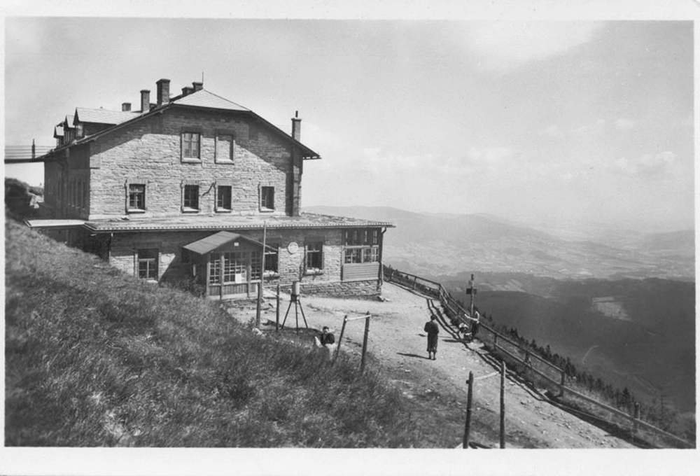
Sustainable mountain tourism has been an urgent issue in recent decades. Since the 1960s and 1970s, the mountain forests, pastures and groves of the Jeseníky and Beskydy Mountains have also been included in areas with increased protection, such as Protected Landscape Areas, where the range of permitted and prohibited activities is regulated by visitor regulations. “Nature,” “authenticity” and “wildness” have a life span, so it’s on rations today. Although tourism is regulated, trends in the mountains of the 19th century still survive today. Although a cross-country skier, skier or cyclist, who appeared in the hills around 1900, would have aroused disbelief in a romantic tourist of Mácha's ilk, the two are united by their longing for the “beautiful,” the “unspoiled” and the “original.” Although more than a hundred years have passed between the members of Beskidenverein and contemporary mountain tourists in the Jeseníky Mountains, they are united by an effort to share, evaluate and comment on their experiences and impressions. Once on the paper of a federal newspaper, today via smartphone and social networks, as evidenced by events such as 32 peaks of the Beskydy Mountains/32 peaks of the Jeseníky Mountains. Lamentations of the hardcore among Silesian tourists over the disfigurement of the mountains with modern conveniences is not a novelty. The movement for the old simplicity among Central European hikers’ and mountaineers’ organizations dates back to the end of the 19th century. The use of the Rousseauian myth of sacred nature as a refuge from the corrosive influences of urban life, however, never gained much acceptance in the campaign against overdevelopment, comfort or the introduction of luxury into the mountains. Returns to the rustic idyllic and alleged asceticism of the tourist “founding fathers” have been successful in the face of modern conveniences, the fruits of science, and the seduction of vicious consumerism by only a handful of orthodox mountaineers. Tourists thus always travel against the flow of time, fleeing temporarily from civilization, but do not reject technological progress. A tourist is thus typically a modern figure, a person deeply wedged between an endless desire for the “real,” “natural” or “free” and an unwillingness to deny even a little comfort and luxury.
3.35 Return to Nature – Recreation and Sport
Recreation is a leisure activity, which primarily services to respond and unwind from work and other duties. The aim of recreation can be relaxation associated with exploring nature, aesthetic experience of the landscape, sport, fishing, etc. Recreational use of the landscape has, of course, an impact on the surrounding environment, the landscape is affected by activities associated with recreation. Negative impacts of recreation include vandalism, illegal motor vehicle travel in the countryside, structures in the landscape, and adaptation of the landscape for recreational purposes.
The tendency of urban residents to move out of the city in summer and other seasons did not appear suddenly; there was a long development and was initially related to the development of the spa industry. Over time, there was a growing interest in recreation inside individual buildings, which were situated in the vicinity of nature. The origin of cottaging is connected with the tramping movement, which came to us at the beginning of the 20th century. Cottages, unlike cabins, were invented and built directly for the purpose of leisure, self-fulfilment and, above all, the satisfaction of their owners and builders at the same time. Cottage-going has its origins in the 19th century, when mostly the inhabitants of urban agglomerations and middle-class people began to spend their leisure time in the countryside. The actual cottage industry as a form of recreation developed after World War II, which was due to the depopulation of the countryside and especially the removal of Germans from the borderlands. In this period, the tradition of spending leisure time and recreation in nature, cottages, cabins and other recreational facilities was already strongly rooted in our territory. This trend greatly strengthened and further developed the emerging socialism. At the end of the 1950s, the first of the socialist forms of the so-called mass recreation of workers appeared.
In addition to hiking, cycling and biking are very popular. In the 1990s there was a boom in mountain biking, which changed the type of visitors. A cycling section was created in the Czech Tourist Club and the special marking of cycling and hiking routes was introduced. A number of asphalt bicycle paths were built in the hitherto less affected areas. Bike paths are often designed on the banks of rivers and streams, where they represent a serious encroachment on the banks (destroying vegetation, relief and bedrock, and often the naturalness of the stream itself) and intersect the natural paths of wildlife to the water.
The mountain environment (the Jeseníky and Beskydy Mountais) is used for recreational activities in every season. Originally used for transport, skiing gradually became a popular sport and recreational activity during the 20th century. Thanks to the great interest in winter sports, a lot of attention is paid to the ski infrastructure. In many places, constructions related to winter sports have changed the character of the mountain landscape (ski slopes, ski lifts, cable cars, car parks, recreational facilities, artificial snow is also a problem).
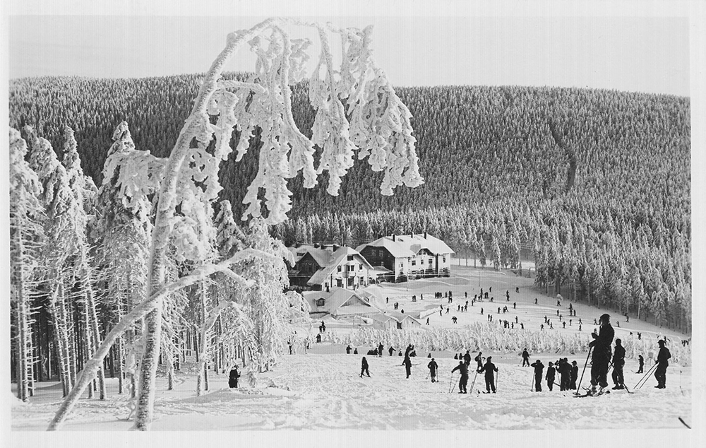
Water, both flowing and stagnant, has been sought for relaxation and sport since time immemorial. First, there was river bathing on the banks of rivers, and later swimming pools and water parks. The following are used for bathing: also flooded quarries and sandpits. Fishing and water tourism are an activity closely connected with water. Horseback riding is not yet quite common, but in the vicinity of riding areas its impact on nature and landscape may be clear. The direct damage to nature is generally negligible (plant footprint). Motoring, on the other hand, is a very problematic activity with a number of negative impacts on the natural environment and the landscape structure (noise, emissions, leakages, erosion, destruction of organisms, landscape fragmentation, etc.). The recreational operation of off-road cars, motorcycles, quadricycles, snowmobiles or jet skis seriously damages the individual components of nature. Illegal rides on off-road machines in the countryside (so-called wild motocross) have a steadily increasing tendency; this problem is modelled mainly in the Beskydy and Jeseníky Mountains and Poodří Protected Landscape Areas. Particularly in protected areas and nature reserves, certain obligations must be observed for all recreational activities in order to avoid damaging the landscape and nature.
4. POPULATION
CONTENTS OF THE CHAPTER
4.1 Population Development 1869–1910
Mgr. Radek Lipovski, Ph.D. (OU), prof. PhDr. Lumír Dokoupil, CSc. (OU), doc. PhDr. Ludmila Nesládková, CSc. (OU)
4.2 Population Development 1921–1980
Mgr. Radek Lipovski, Ph.D. (OU), prof. PhDr. Lumír Dokoupil, CSc. (OU), doc. PhDr. Ludmila Nesládková, CSc. (OU)
4.3 Population Development 1991–2019
doc. Ing. Lubor Hruška, Ph.D. (ACC), PhDr. Andrea Hrušková (ACC)
4.4 Population Composition by Sex and Age 1869–1910
Mgr. Radek Lipovski, Ph.D. (OU), prof. PhDr. Lumír Dokoupil, CSc. (OU), doc. PhDr. Ludmila Nesládková, CSc. (OU)
4.5 Population Composition by Sex and Age 1920–1980
Mgr. Radek Lipovski, Ph.D. (OU), prof. PhDr. Lumír Dokoupil, CSc. (OU), doc. PhDr. Ludmila Nesládková, CSc. (OU)
4.6 Population Composition by Sex and Age 1991–2019
doc. Ing. Lubor Hruška, Ph.D. (ACC), PhDr. Andrea Hrušková (ACC)
4.7 Population Composition by Religion 1869–1950
Mgr. Radek Lipovski, Ph.D. (OU), prof. PhDr. Lumír Dokoupil, CSc. (OU), doc. PhDr. Ludmila Nesládková, CSc. (OU)
4.8 Population Composition by Religion 1991–2011
doc. Ing. Lubor Hruška, Ph.D. (ACC), PhDr. Andrea Hrušková (ACC)
4.9 Population by Language 1880-1910
Mgr. Radek Lipovski, Ph.D. (OU)
4.10 Population Composition by Language in Silesia 1910 154
PaedDr. Zbyšek Ondřeka (ACC)
4.11 Nationality of the Population 1918-1991
Mgr. Radek Lipovski, Ph.D. (OU), prof. PhDr. Lumír Dokoupil, CSc. (OU), doc. PhDr. Ludmila Nesládková, CSc. (OU)
4.12 Immigration Trends Between 1869 and 1910
Mgr. Radek Lipovski, Ph.D. (OU), prof. PhDr. Lumír Dokoupil, CSc. (OU), doc. PhDr. Ludmila Nesládková, CSc. (OU)
4.13 Nationality Composition 1991-2011
doc. Ing. Lubor Hruška, Ph.D. (ACC), PhDr. Andrea Hrušková (ACC)
4.14 Foreigners 1991-2020
doc. Ing. Lubor Hruška, Ph.D. (ACC), PhDr. Andrea Hrušková (ACC)
4.15 Natives (Indigenous Population)
doc. Ing. Lubor Hruška, Ph.D. (ACC), PhDr. Andrea Hrušková (ACC)
4.16 Migration in the 21st Century (2001-2019)
doc. Ing. Lubor Hruška, Ph.D. (ACC), PhDr. Andrea Hrušková (ACC)
4.17 Natural Increase in the 21st Century (2001-2019)
doc. Ing. Lubor Hruška, Ph.D. (ACC), PhDr. Andrea Hrušková (ACC)
Mgr. Radek Lipovski, Ph.D. (OU), prof. PhDr. Lumír Dokoupil, CSc. (OU), doc. PhDr. Ludmila Nesládková, CSc. (OU)
4.2 Population Development 1921–1980
Mgr. Radek Lipovski, Ph.D. (OU), prof. PhDr. Lumír Dokoupil, CSc. (OU), doc. PhDr. Ludmila Nesládková, CSc. (OU)
4.3 Population Development 1991–2019
doc. Ing. Lubor Hruška, Ph.D. (ACC), PhDr. Andrea Hrušková (ACC)
4.4 Population Composition by Sex and Age 1869–1910
Mgr. Radek Lipovski, Ph.D. (OU), prof. PhDr. Lumír Dokoupil, CSc. (OU), doc. PhDr. Ludmila Nesládková, CSc. (OU)
4.5 Population Composition by Sex and Age 1920–1980
Mgr. Radek Lipovski, Ph.D. (OU), prof. PhDr. Lumír Dokoupil, CSc. (OU), doc. PhDr. Ludmila Nesládková, CSc. (OU)
4.6 Population Composition by Sex and Age 1991–2019
doc. Ing. Lubor Hruška, Ph.D. (ACC), PhDr. Andrea Hrušková (ACC)
4.7 Population Composition by Religion 1869–1950
Mgr. Radek Lipovski, Ph.D. (OU), prof. PhDr. Lumír Dokoupil, CSc. (OU), doc. PhDr. Ludmila Nesládková, CSc. (OU)
4.8 Population Composition by Religion 1991–2011
doc. Ing. Lubor Hruška, Ph.D. (ACC), PhDr. Andrea Hrušková (ACC)
4.9 Population by Language 1880-1910
Mgr. Radek Lipovski, Ph.D. (OU)
4.10 Population Composition by Language in Silesia 1910 154
PaedDr. Zbyšek Ondřeka (ACC)
4.11 Nationality of the Population 1918-1991
Mgr. Radek Lipovski, Ph.D. (OU), prof. PhDr. Lumír Dokoupil, CSc. (OU), doc. PhDr. Ludmila Nesládková, CSc. (OU)
4.12 Immigration Trends Between 1869 and 1910
Mgr. Radek Lipovski, Ph.D. (OU), prof. PhDr. Lumír Dokoupil, CSc. (OU), doc. PhDr. Ludmila Nesládková, CSc. (OU)
4.13 Nationality Composition 1991-2011
doc. Ing. Lubor Hruška, Ph.D. (ACC), PhDr. Andrea Hrušková (ACC)
4.14 Foreigners 1991-2020
doc. Ing. Lubor Hruška, Ph.D. (ACC), PhDr. Andrea Hrušková (ACC)
4.15 Natives (Indigenous Population)
doc. Ing. Lubor Hruška, Ph.D. (ACC), PhDr. Andrea Hrušková (ACC)
4.16 Migration in the 21st Century (2001-2019)
doc. Ing. Lubor Hruška, Ph.D. (ACC), PhDr. Andrea Hrušková (ACC)
4.17 Natural Increase in the 21st Century (2001-2019)
doc. Ing. Lubor Hruška, Ph.D. (ACC), PhDr. Andrea Hrušková (ACC)
4.1 Population Development 1869–1910
At the end of the 19th and the beginning of the 20th century, the area of rapidly developing heavy industry, i.e. the judicial districts of Fryštát, Bohumín, Polská and Moravská Ostrava, became a region with high population growth. In the years 1869-1910, the population doubled and tripled. In the rest of Silesia and northeastern Moravia, growth was significantly lower or even declined. The small population growth or decline was mainly in the foothills of the Jeseníky and Beskydy Mountains, where the poor land could not support the growing population, and so mainly young people left for work.
The population of the judicial districts of Polská Ostrava and Moravská Ostrava grew rapidly, as did the districts of Bohumín and Fryštát. This territory represented the emerging Ostrava-Karviná industrial area, which ranked among the territories with the highest concentration of population in the Austrian monarchy. Even some of the originally small villages grew so much that they acquired the status of towns at the turn of the 19th and 20th centuries. Three of them later formed, together with the town of Moravská Ostrava and the town of Polská Ostrava, the core of so-called Greater Ostrava (Vítkovice, Přívoz and Mariánské Hory), but the villages near Fryštát, such as Karviná, Ráj, Staré Město, Darkov, were also fast-growing localities. Originally a small village under the Beskydy Mountains, it became a locality of almost 4,000 inhabitants before World War I with the development of the ironworks and the relocation of many people in search of work. The connection to the Ostrava-Karviná industrial area therefore meant a significant population growth also for the adjacent judicial districts of Těšín and Klimkovice. In the more distant surroundings (the districts of Opava, Bílovec, Příbor, Místek, Frýdek, Jablunkov, Skočov, Strumieň) there was not such significant growth, but there was nevertheless, because the population surplus could leave for work in the industrial area. There is talk about the so-called wider population background of the Ostrava-Karviná agglomeration.
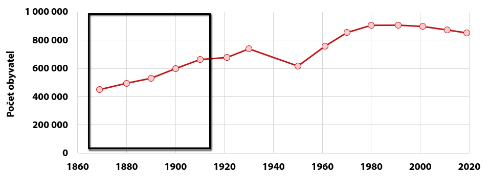
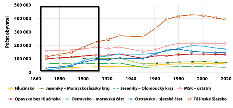
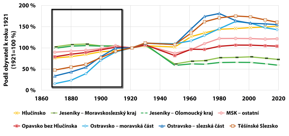
Some population growth was also manifested in the judicial districts of Bílsko, Nový Jičín, Krnov, Jeseník and Vrbno. In these cases, the reason was not Ostrava-Karviná industry and its labor supply, but actual economic growth, especially in the main centers of these districts. The towns of Bílsko, Nový Jičín and Krnov were among the most important textile centers in Moravia and Austrian Silesia. Neither did Jeseník lag behind in textile production, and in addition, important spa centers (Gräfenberg, Lipová) developed in its vicinity. Otherwise, however, the western part of Austrian Silesia was a region with a permanent population decline. Depopulation mainly ocurred in the judicial districts of Javorník, Jindřichov, Osoblaha and Albrechtice. The low natural growth in these districts was drained by the long-term emigration of young people of productive age who, as German-speaking inhabitants, left for work in Lower Austria, especially in Vienna.
It was characteristic that both the acceleration of population growth in the industrial agglomeration and the slowing or even decline of the population in the northwestern part of Austrian Silesia took place mainly in the 1880s and 1890s. At that time, it was the main feature visible in the subregions of the Ostrava-Moravian part, the Ostrava-Silesian part and Těšín-Silesia, i.e. a relative increase from about 20-40 % to 100 % by 1921. In the Ostrava-Moravia subregion between 1880 and 1900 there was an unprecedented increase of 47 percentage points.
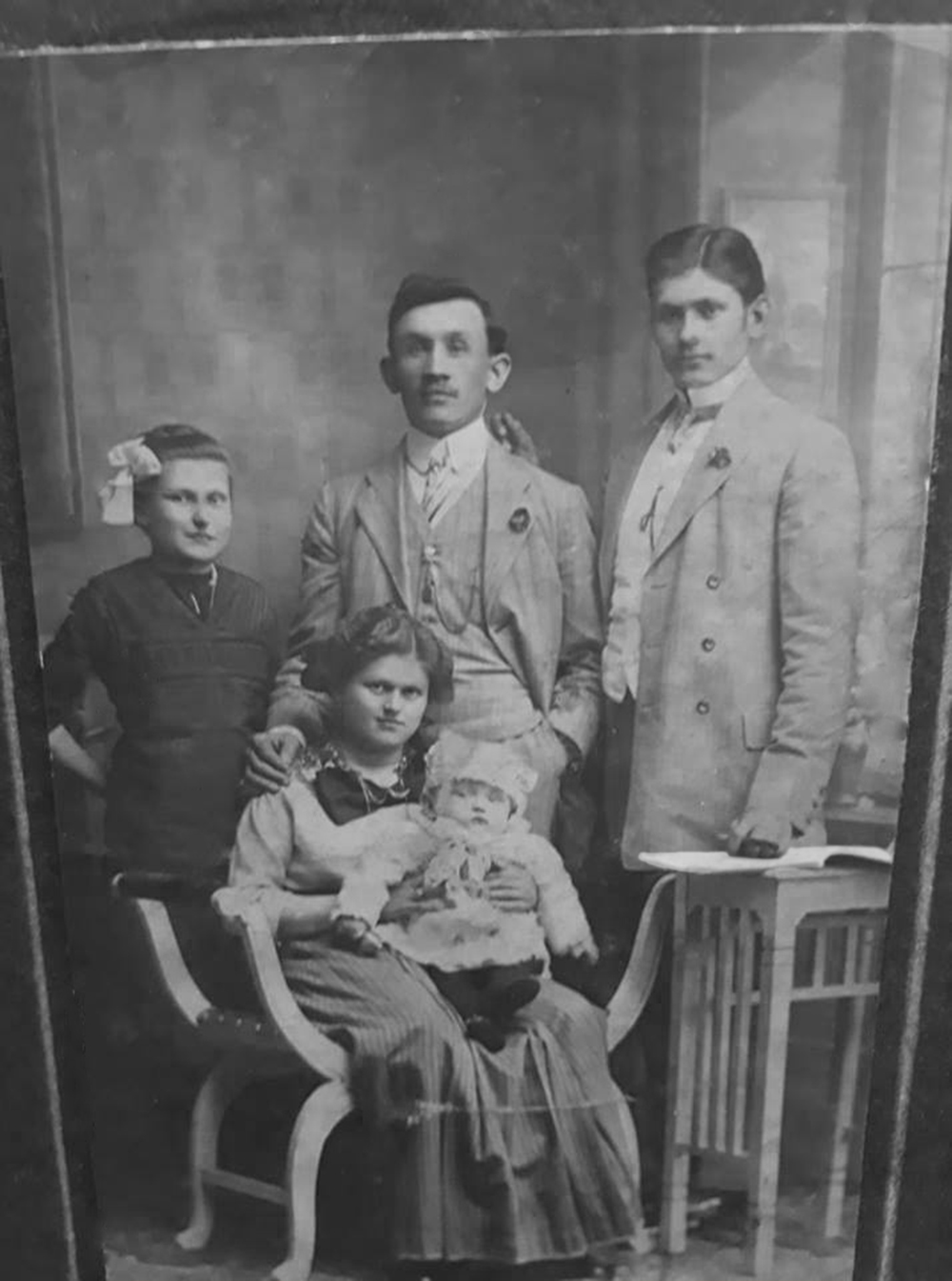
4.2 Population Development 1921–1980
In terms of population development, the period of the First Republic manifested itself in a stable and moderate growth in all parts of Czech Silesia as well as in the adjacent Moravian territories. This process was significantly affected by World War II and the removal of the German population, which mainly affected the Jeseníky area. Although it has been re-populated, the losses have not been recovered and by 1980 the population of the area was about 25% lower than in 1921. In contrast, other parts of Czech Silesia and the adjacent territories of Moravia experienced steady growth during the period of communist rule, most notably the Silesian part of Ostrava, Těšín Silesia and the Moravian part of Ostrava. Socialist industrialization favored heavy industry concentrated in these regions, so large numbers of people moved there, especially in the 1950s and 1960s.
Between 1921 and 1930, all parts of Czech Silesia and northeastern Moravia experienced a slight population growth, but this was mainly due to the first post-war years, when the birth rate rose briefly to compensate for the previous period (in 1920-1921 in Silesia it was even 30.9‰). In the later years of the First Republic, the impact of the so-called demographic transition – the deliberate restriction of fertility – became fully apparent. Despite the relatively favorable mortality rates, the population did not increase much and neither was immigration significant. Ostrava and Těšín Silesia experienced growth of 11%, the other regions up to 10%, with Hlučín as the lowest (5%).
A significant decrease in the population occurred between 1930 and 1950 as a result of World War II and the post-war displacement of the German population. The population of Czech Silesia and northeastern Moravia was affected by direct war losses, as most of the territory was annexed to the German Empire and a large number of men had to enlist. This concerned both the Germans and the Slavic-speaking population from Hlučín and Těšín. In the whole of Czech Silesia, the population decreased by 16.5% between 1930 and 1950, but while Ostrava, Hlučín and Těšín Silesia showed a relative decline of only 1-3%, Opava by 25% and the Jeseníky region even by 60%; in the case of Jeseníky belonging to the Moravian-Silesian Region, the population dropped from 106,757 to 62,456, and in the case of Jeseníky – part of the Olomouc Region – from 70,092 to 37,881. The Moravian part of the Moravian-Silesian Region (MSK - other) also experienced a significant decline (by 19%) because it included the Novojičín and Šternberk regions with a relatively large German minority, which was also displaced. Thus, e.g. in the Fulnek judicial district there was a decrease of 27%, in the Město Libavá district even by 51%, but in the Místek district only by 6% and in the Frenštát p.R. district the population in 1950 was almost the same as in 1930 (relative increase of 0.7%). The Jewish and Romani population also contributed to the decline in the number of the population during the war. Jewish communities were mainly concentrated in the Silesian towns, the largest Jewish religious community existed in the Moravian and Silesian part of the wider Ostrava area. The Nazis proclaimed the so-called Final Solution to the Jewish question and carried out a genocide as part of it. The Jewish families were usually transferred to the ghetto in Terezín and from there to one of the concentration camps, often Auschwitz. Romani people also ended up there.
During the entire period of the communist regime, it was not possible to repopulate the Jeseníky area to bring the population to at least the level of 1921. The population did grow, but this was mainly due to natural change, because since the 1950s the mortality rate in the Czech lands had been declining rapidly thanks to antibiotics. The birth rate was also declining, but in the 1970s there was a “population boom,” which caused the population of the Jeseníky region to increase significantly (in the area of today’s Moravian-Silesian Region by 7 percentage points, in the area of the Olomouc Region by 4 percentage points). However, as of 1991, the population in these two areas was only 78% and 66% of that of 1921. Other areas of Czech Silesia and northeastern Moravia developed significantly in a more favorable way. Already in the 1950s their populations were growing, so that by 1961 the Opava and Moravian parts of the Moravian-Silesian Region had reached almost the same number of inhabitants as in 1921, while Hlučín, Ostrava and Těšín Silesia had a much larger population. This was mainly due to the significant immigration of young people of working age to the Ostrava and Karviná regions, where they were attracted by the abundance of jobs in heavy industry and strong socialist propaganda, which tried to attract employees to mining, metallurgy, chemical enterprises, etc. Although this influx slowed down in the early 1960s, the progressive composition of the population caused further growth, and by 1980 the relative growth compared with 1921 was 44% in Hlučín, 45% in the Moravian part of Ostrava, 71% in Těšín Silesia region and even 81% in the Silesian part of Ostrava. The increase was not recorded so much by the centers of industry as by the areas around them. In the Silesian part of Ostrava, the population of the Klimkovice judicial district grew the most in the 1950s (from 25,920 to 69,147, i.e. almost 167%), while in the former Slezská Ostrava judicial district there was a decline of 13%. The Klimkovice district, however, included the locality with perhaps the most significant socialist construction in the Ostrava – Poruba region, which was annexed to the newly established Ostrava-okolí district in 1953. At the same time, the population of the Český Těšín district increased significantly (by almost 80%), which benefited not only from the proximity of the Karviná mines, but also from the existence of the important metallurgical giant Třinec Ironworks in its territory.
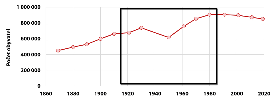
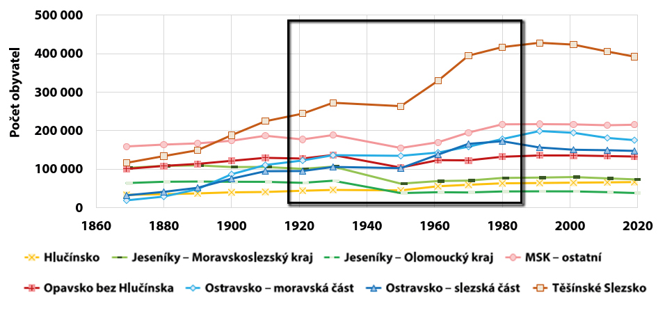
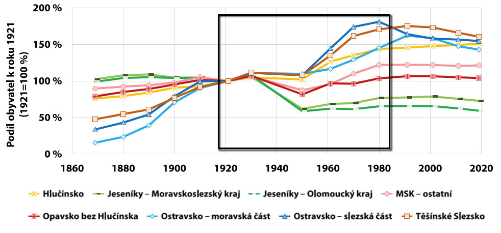
4.3 Population Development 1991–2019
In 1991, 905,366 inhabitants lived in the territory of Czech Silesia. Historically, this is the largest population in the area, specifically from 1869 to 2019. From 1990 to 2019 there is a slight decrease in the number of inhabitants by approximately 54,500.
The above-mentioned processes affect the population development of individual subregions. Industrialization and deindustrialization are most strongly manifested in the area of Ttěšín Silesia, where the largest decrease in the population was by 36,000 from 1991 to 2019. This decline also occurred in other forms, with the exception of the Hlučín area, which shows a slight increase in the population. In terms of population distribution in the territory, the processes of suburbanization, i.e. moving to the outskirts of larger cities, prevail here. This fact is also reflected in the positive increase of the population in Hlučín, mainly caused by the process of immigration of the population from Ostrava.
The development of the population in the Jesenik region has a similar character both in the subregion, which belongs to the Olomouc Region, and in the subregion, which belongs to the Moravian-Silesian Region. In the Olomouc Region, the population in 2019 was almost the same as in 1950, which shows that the process of population decline affects this region more intensively than the Bruntál and Krnov Region. In terms of residents’ satisfaction with the quality of life in Jesenice, there are differences between these sub-regions, with more satisfied residents living in the Moravian-Silesian Region than in the Olomouc Region. This fact also affects the stability of the settlement and the willingness of the inhabitants to depart the territory.
All towns above 10,000 inhabitants in the territory of Czech Silesia have been losing their population from 1991 to 2019, which is a manifestation of the heterogenization of the population, i.e. the uneven distribution of inhabitants in the territory is growing. For the municipalities in the territory of Czech Silesia, belonging to the Ostrava agglomeration is essential. The metropolis has a primary influence on the municipalities that fall within the Ostrava agglomeration. In the vicinity of the agglomeration there are municipalities with secondary influence and other municipalities are indirectly influenced by the agglomeration. The Ostrava agglomeration is one of the most urbanized areas within the Czech Republic. The process of concentrating the population in the outskirts of Ostrava took place mainly in the period from 1869 to 1980. The strongest concentration of the population was in the period of the first industrialization wave, i.e. between 1869 and 1950. Subsequently, the concentration process was weaker. Between 1991 and 2011, the distribution of the population changed again. Deindustrialization and suburbanization resulted in a new way of forming the area with the highest concentration of the population (i.e. Ostrava and its outskirts), this process referred to as “decentralized” concentration (Hruška, 2012). This process is most intense for cities in the territory of Těšín Silesia.
From 1971, the number of municipalities within the Czech Republic has decreased, with the smallest number of municipalities in 1981. Another significant change occurred in 1991, when a greater number of municipalities were created by breaking away from the larger towns. Of course, a similar development also occurred in the territory of Czech Silesia.
In the Czech Republic, the largest number of municipalities is in a size category of up to 500 inhabitants, and in this category the territory of Czech Silesia is quite different. The most represented are municipalities in the size category of 1,000 – 2,999 inhabitants and in the category of 500 – 999 inhabitants. Together, these two categories account for 57% of all municipalities in the territory of Czech Silesia.
In the territory of Czech Silesia there is a significant predominance of inhabitants living in towns with more than 20,000 inhabitants, 63% of the population. Within the Czech Republic, only 42% of the population lives in these municipalities, while in small municipalities there live up to 500 inhabitants, 8% of the population. In the territory of Czech Silesia, only 1.8% of the population lives in municipalities of up to 500 inhabitants.
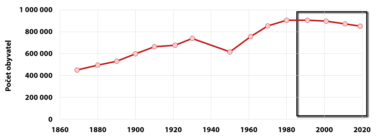
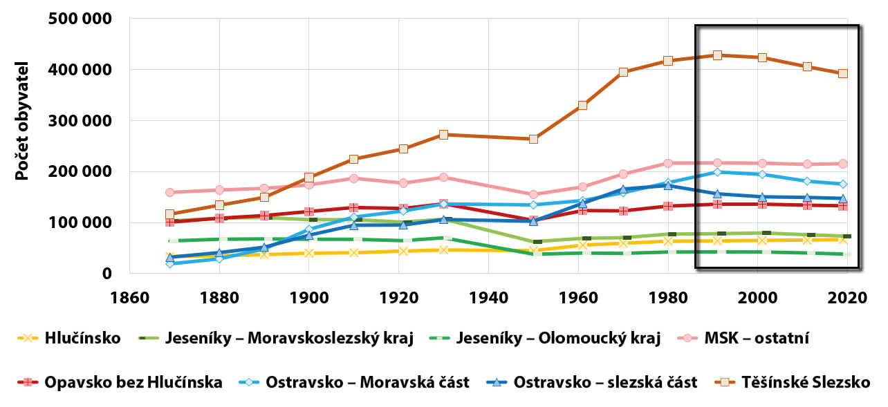

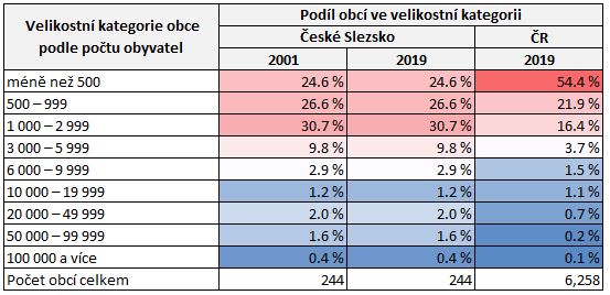
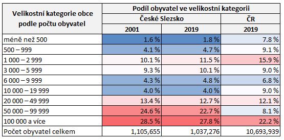
4.4 Population Composition by Sex and Age 1869–1910
The majority of the population is usually female; although more boys than girls are born (about 1060 : 1000), however, their higher mortality rate in childhood is typical, and women also live to a higher age. The representation of men and women was also influenced by other circumstances, particularly migration. If in the whole of Austrian Silesia the ratio of men and women (the so-called masculinity index) in the industrial area of Fryštát and Ostrava, due to the intensive immigration of mainly younger men, the masculinity of the population was increasing significantly (1149 men per 1000 women in 1900); in other parts of the region, however, we find a predominance of women, most significantly in the northwestern part of Austrian Silesia in Bruntál, Jeseník and Krnov (only 895 men per 1000 women in the same year).
However, average values conceal increasingly pronounced local differences. While the Ostrava and Fryštát regions, with their developing mining and metallurgy, and the Frýdek and Bílsko regions, with their thriving textile industry, maintained a high proportion of children in the population, close to 40%, in western Silesia it was already clearly declining at this time, e.g. in the Bruntál, Jesenice and Krnov regions the proportion of children was only slightly above a third of the population. The lowest proportion of children was in the capital of Austrian Silesia – Opava (only 29.4%), where, on the other hand, the working-age population (15-59) exceeded two-thirds of those present (67.9%). This was matched by the average age, which was the highest in all these parts of Austrian Silesia – exceeding 27 years – and was approximately four years higher than in the industrialized Fryštát and Ostrava regions. However, it was still a relatively young population with a relatively low share of the senior group in these parts of the region.
Over the next decades, the situation began to change and the difference between the structure of the population of the economically stagnant western (Opavian) part of Silesia and its developing eastern (Těšín) part became more and more pronounced. Until the beginning of the 20th century, the slowly declining birth rate did not cause significant changes in the representation of the younger generation, but there were significant differences in the proportions of the older group. The cause was also the rapid aging of the population of the northwestern part of Austrian Silesia as a result of the high emigration of younger people, especially in the group of women, which most severely affected the predominantly German-populated Bruntál, Jesenicko and Krnovsko regions, but affected the whole of Opava Silesia, with the exception of Klimkovice, perhaps associated with industrial Ostrava. Higher proportions of children were mainly found in rural areas, while in urban areas they were lower, dominated mainly by the productive part of the population. In 1910 it reached 70% in the statutory towns of Opava and Bílsko, similarly in Těšín, Moravská Ostrava and Vítkovice. If the overall population of Austrian Silesia, mainly thanks to the Těšín part, especially Fryštát, still retained a relatively large proportion of children and only a slightly increasing proportion of the senior group before World War I, the urban centers showed that their populations were already affected by the demographic transition and had embarked on a path of change from a progressive to a stationary, i.e. stagnant, type of population.
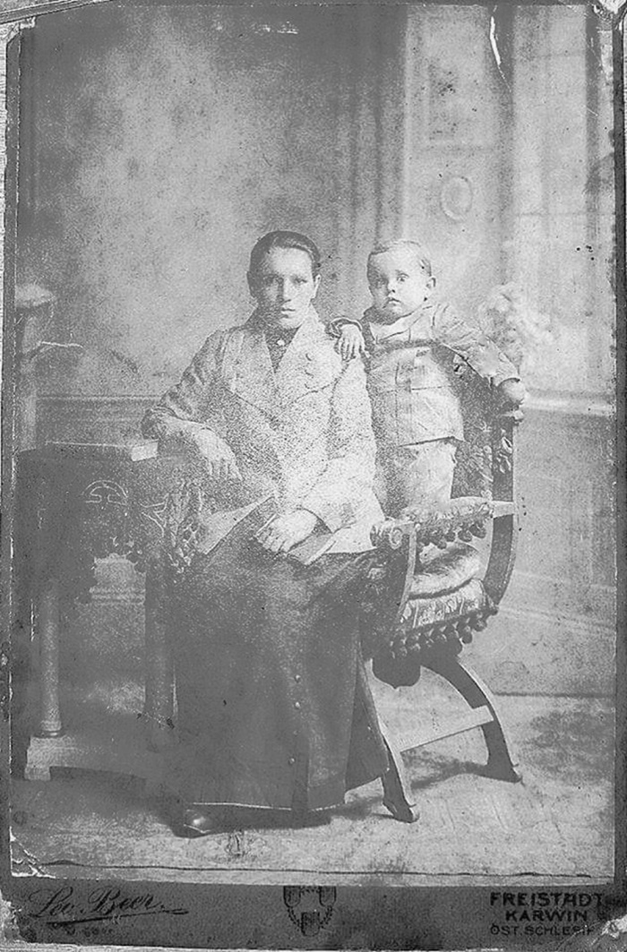
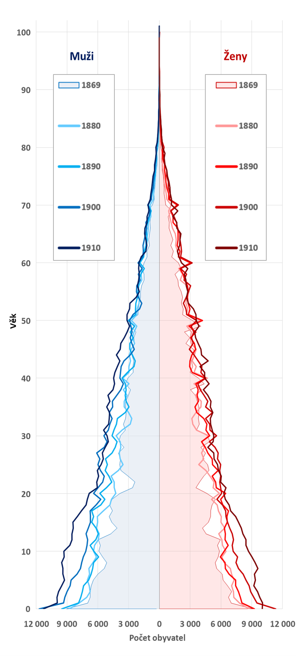
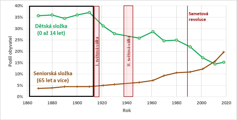
4.5 Population Composition by Sex and Age 1920–1980
After World War I, the population mainly lacked men of working age. Marriage and fertility declined again after a brief rise, and so few children were born. However, by 1921, children were still represented in the population of Czech Silesia by 31.2 %, which by 1930 had fallen to 27.9 %. In the Opava and Krnov regions, they made up less than a quarter of the population. After World War II, the age structure was relatively favorable in the former German areas of Krnov, Bruntál and Jesenice, where young families arrived, so that the proportion of children was close to a third by 1950. In other parts of Silesia, however, the aging process of the population continued. Even the shorter period of fertility growth in the 1970s, the so-called Husák´s Children, did not change the overall trend, with the proportion of people over 65 rising and the proportion of children declining. At the 1980 census, children constituted 25 % of the population in Czech Silesia, while people 65+ was already at 10.6 %.
World War I (1914-1918) was a significant intervention in the life of the population. With the departure of young men to the battlefield, the marriage rate and consequently the birth rate declined, while the long-term decline in deaths stalled. The low number of births resulted in a deep notch in the age pyramid, and war casualties were reflected in a lower representation of men aged 20-40. The post-war rise in the birth rate was only short-lived and already during the 1920s there was a clear decrease in the proportion of children in the average Czech Silesian population by three percentage points. During the census in 1930, their lowest representation was found in the Krnov and Opava regions – already less than 24 %, while the highest was in the Jablunkov and Hlučín regions (almost 36 % and 32 %).
The economic crisis in the first half of the 1930s was badly affected by population’s development. Poor social conditions led to the postponement of marriages and soon also to a significant decline in the number of births, which again showed a notch in the age pyramid. The life expectancy of people gradually increased, by approximately nine years during the First Republic, and the process of population aging progressed. The Munich Dictate in 1938 fragmented the region and incorporated it into various state formations. In contrast to the development during World War I, the birth rate curve was now slightly increasing; the situation of the population was influenced, for example, by the emigration and flight of Czechs from the border region during its occupation by Nazi Germany, the departure of young men from the area to the front, the Holocaust of the Jews, etc.; neither the size nor the composition of the population during the war could be determined more precisely. After the end of the war, the population development was mainly marked by large migratory movements; the most significant being the displacement of the German population, which helped to break up Czechoslovakia. This manifested itself most clearly in the settlement of western Silesia – the predominantly German-populated Jeseník, Bruntál and Krnov regions. Young people were mainly involved in the settlement, which positively influenced the age composition. It was in this area that there was a significant increase in the proportion of children, with a much lower population density again reaching a third, while not even a twentieth of the elderly lived there. However, a relatively high birth rate also contributed to the improvement of the age composition. The result was also an increase in the representation of children – in the average population of Czech Silesia by three percentage points. The representation of the composition of the population in the age pyramid as of 1960 illustrates all the interventions in natural development: the initial decline of the youngest children even in the context of the beginning of the Artificial Termination of Pregnancy Act in 1957, the higher proportion of children around the age of 10 as a result of the post-war increase in the birth rate, the deep notch around the age of 25 due to the effects of the economic crisis of the 1930s, and another after the age of 40 as a result of World War I.
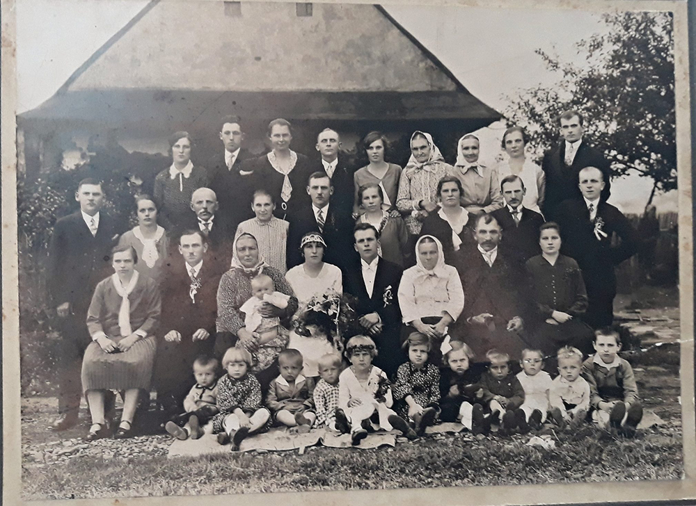
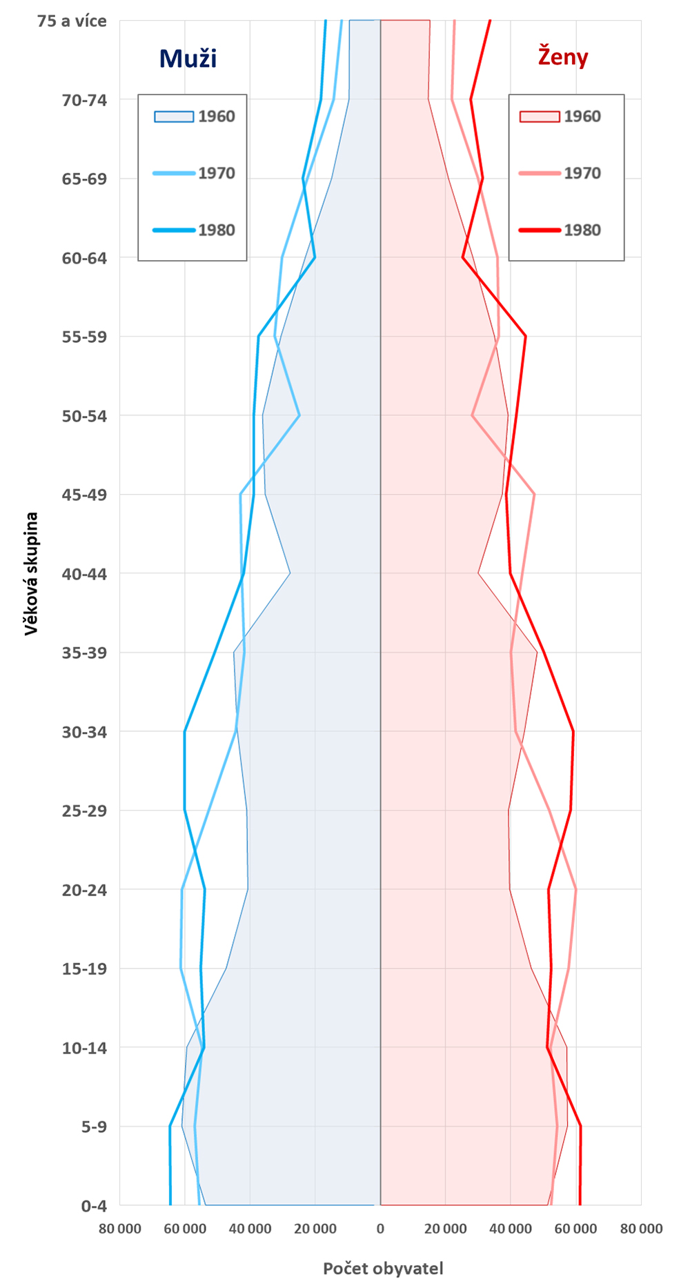

While infant mortality continued to decrease in the 1960s, female fertility also decreased. The result was a reduction in the proportion of children by four percentage points. The decline was most noticeable in western Silesia, e.g. in the Bruntál region by 8.4 percentage points. On the contrary, the number of seniors increased, mostly in the Místek, Frýdek and Jablunkov regions (11.4 %).
Pro-population measures in the early 1970s helped to improve the lives of young families. The result was a significant but short-lived rise in the number of children born (the so-called Husák´s Children). The share of children in the population increased slightly to a quarter of the country average, but the long-term aging process did not stop. The highest impact was recorded in the Frýdek and Jablunkov regions (12% of seniors) and in the whole neighboring Moravian part. The path to a regressive type of population was increasingly clear.
4.6 Population Composition by Sex and Age 1991–2019
Demographic aging can be considered as one of the most significant long-term demographic processes existing today. A significant change in the age composition of the population accompanies most of the countries of Europe. On behalf of Czech Silesia, from 1991 to 2019, there was a progressive increase in the number of seniors, especially after 2000. As a result of the increase in the standard of living of society and the improvement of qualitative health care, the quality of life has improved and the lifestyle of the population has changed. This was reflected in a decrease in the intensity of mortality, an increase in the length of human life and also an increase in the share of seniors in society to 20 % of the population of Czech Silesia, i.e. one in five inhabitants of Czech Silesia is over 65 years of age. One of the other manifestations of the change in the lifestyle of the population after 1991 is a significant decrease in fertility, which is manifested in the decrease in the share of the child component in the territory of Czech Silesia, which stopped in 2011.
Furthermore, when assessing the aging process, a higher intensity of aging can be observed in the towns than in their outskirts. This process illustrates two facts. On the one hand, people aged 25–35 are moving with children to the outskirts of towns. In the second case, seniors in town are living to an older age, due to better accessibility to all services and a less physically demanding lifestyle. Due to their dependence on social contacts around their home, they have a low need to move. A quality living environment is a lower priority for the elderly than fulfilling their daily needs and carrying out their social contacts in the vicinity of their home. Based on sociological research, it has been mapped that seniors find housing in prefabricated buildings with elevators more attractive because of their barrier-free accessibility than other population groups. Another important fact is the number of sensory stimuli that a town offers to seniors. It is an interesting observed fact that seniors like to live in the vicinity of busier places, where they observe the surrounding life, watch cars passing by, they look out of windows, sit in front of houses, address passersby, carry out social control of their surroundings, informing the police, the mayor, family and neighbors about the situations they observe. They are constantly trying to share the constant course of life with the surrounding community.
Demographic processes have long-term impacts on society and are influenced by historical events in the territory. The age structure of the contemporary territory of Czech Silesia is still influenced by the post-war removal of Germans, the pro-population policy after 1970 and the change in political life after 1989. The age pyramid records these demographic waves according to gender. In 1991, the largest age cohort is between 15 and 19 years old; these are children born between 1972 and 1976, i.e. the Husák´s Children (partly influenced by the pro-natality policy of the Communist Party of Czechoslovakia). These children were born to a large age cohort born after the war, i.e. they were 40-44 years old in 1991. In the case of the large age cohort of the Husák´s Children, this situation was not repeated, as people changed their reproductive behavior after 1989, which led to a reduction in the birth rate.
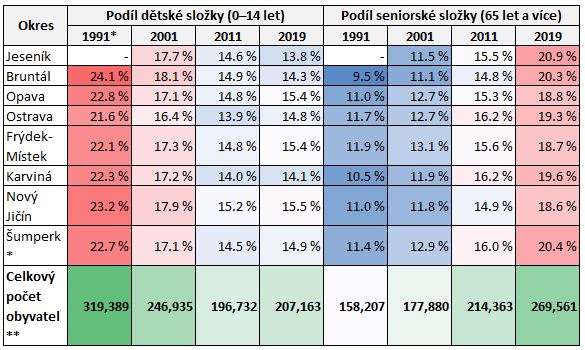
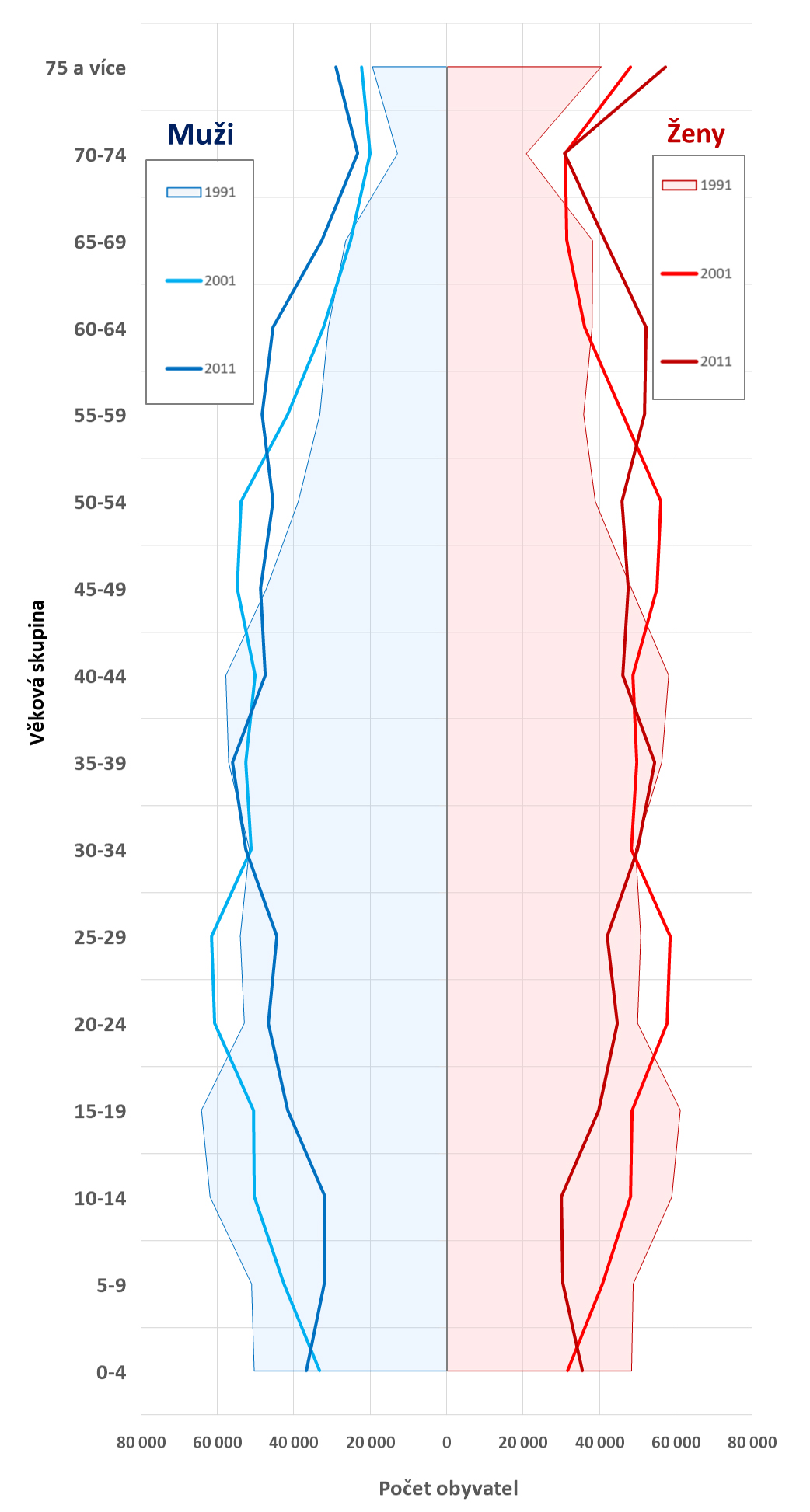
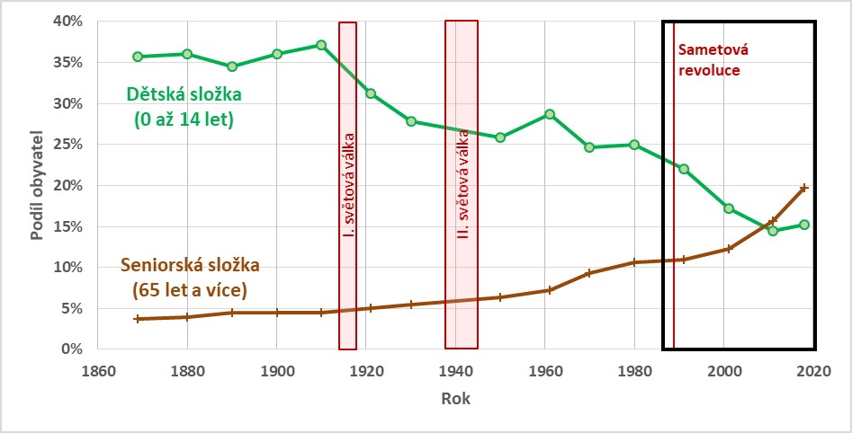
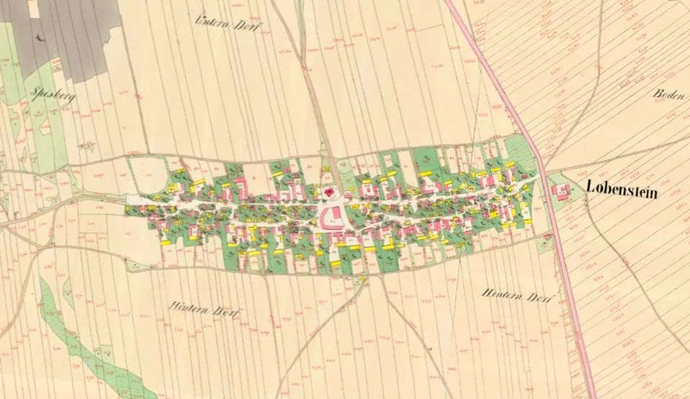
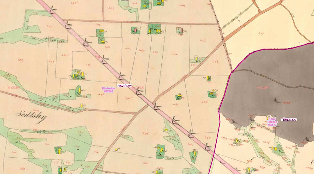
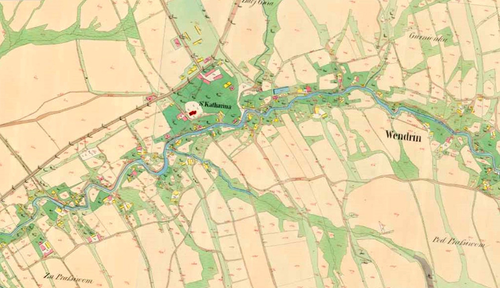
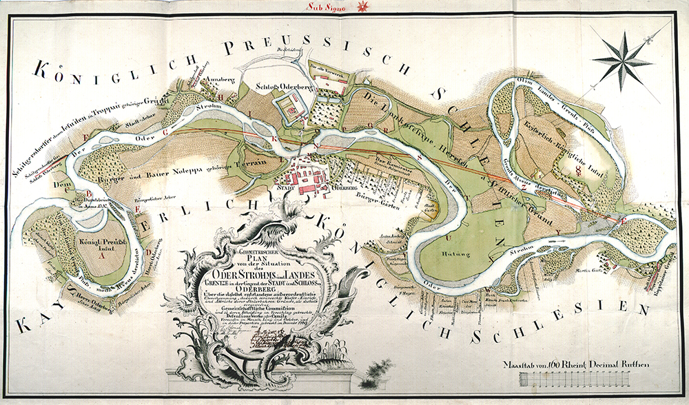
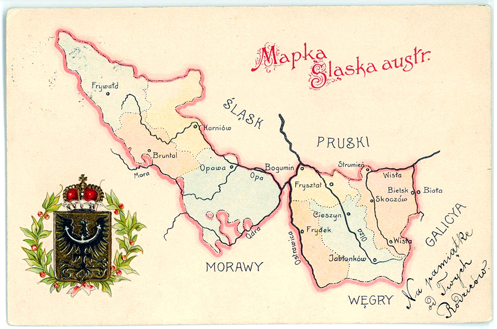
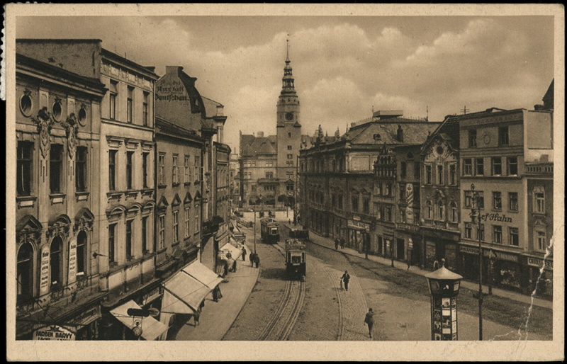
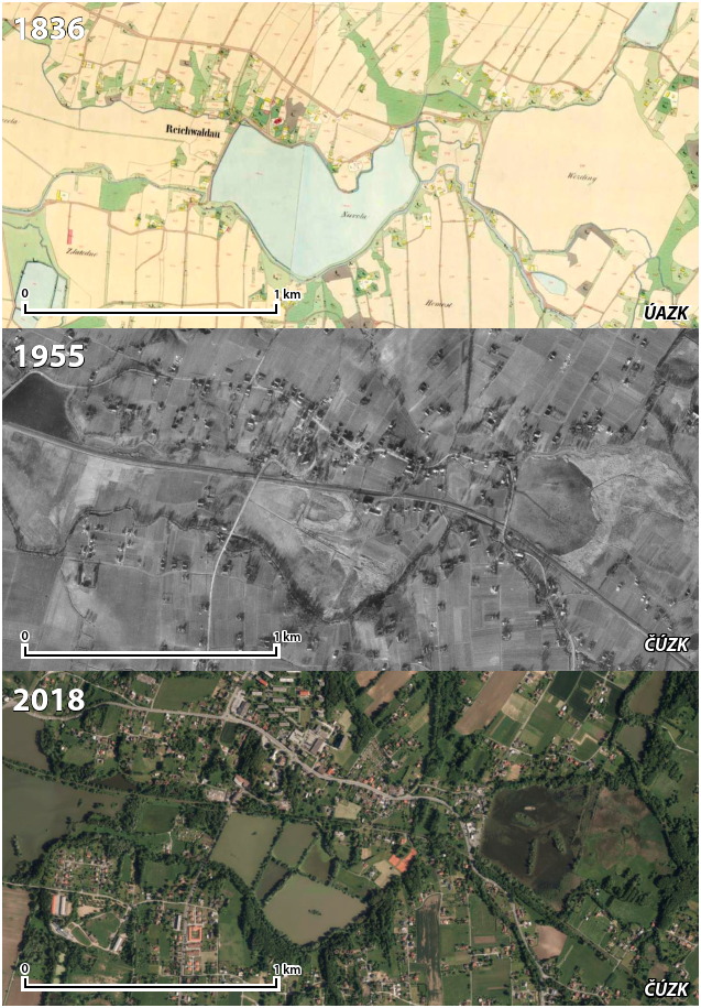
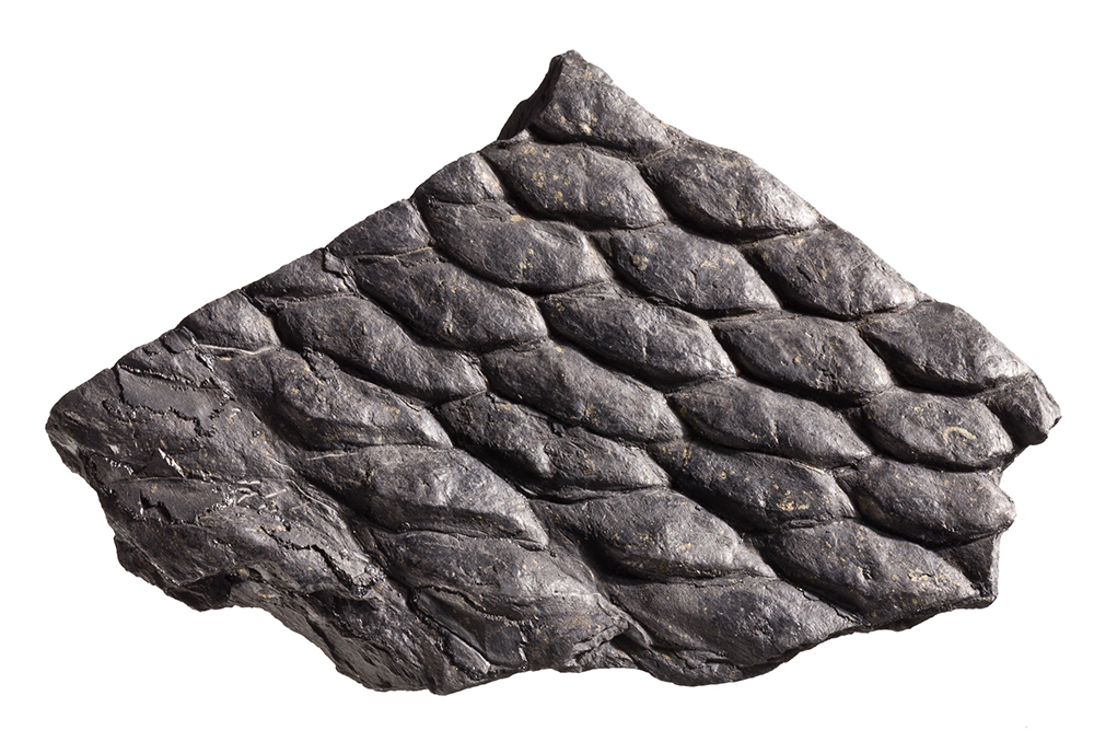
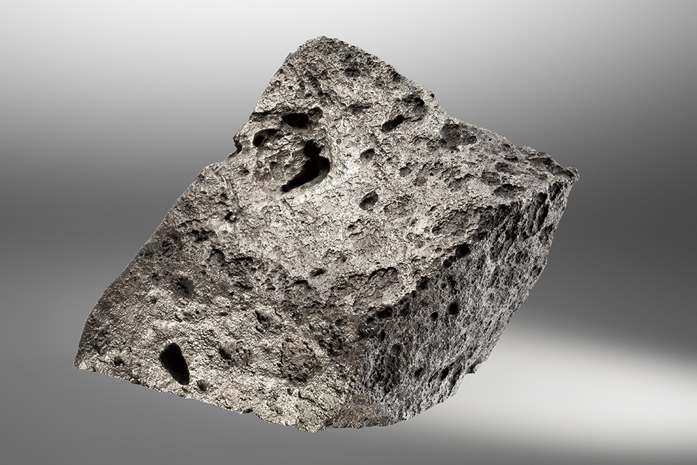
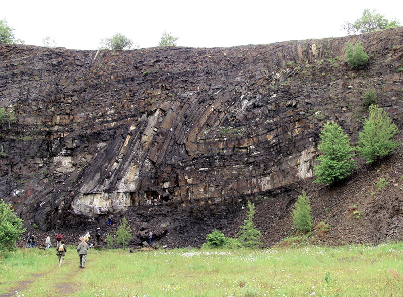
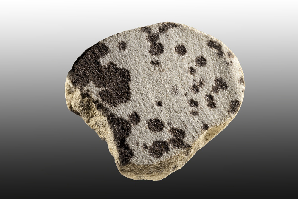
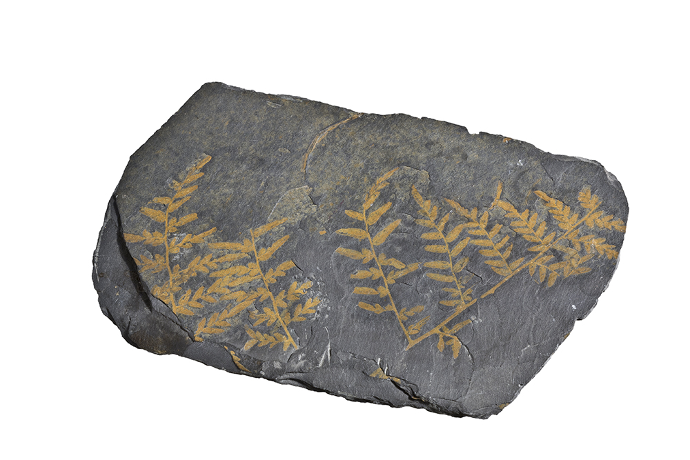
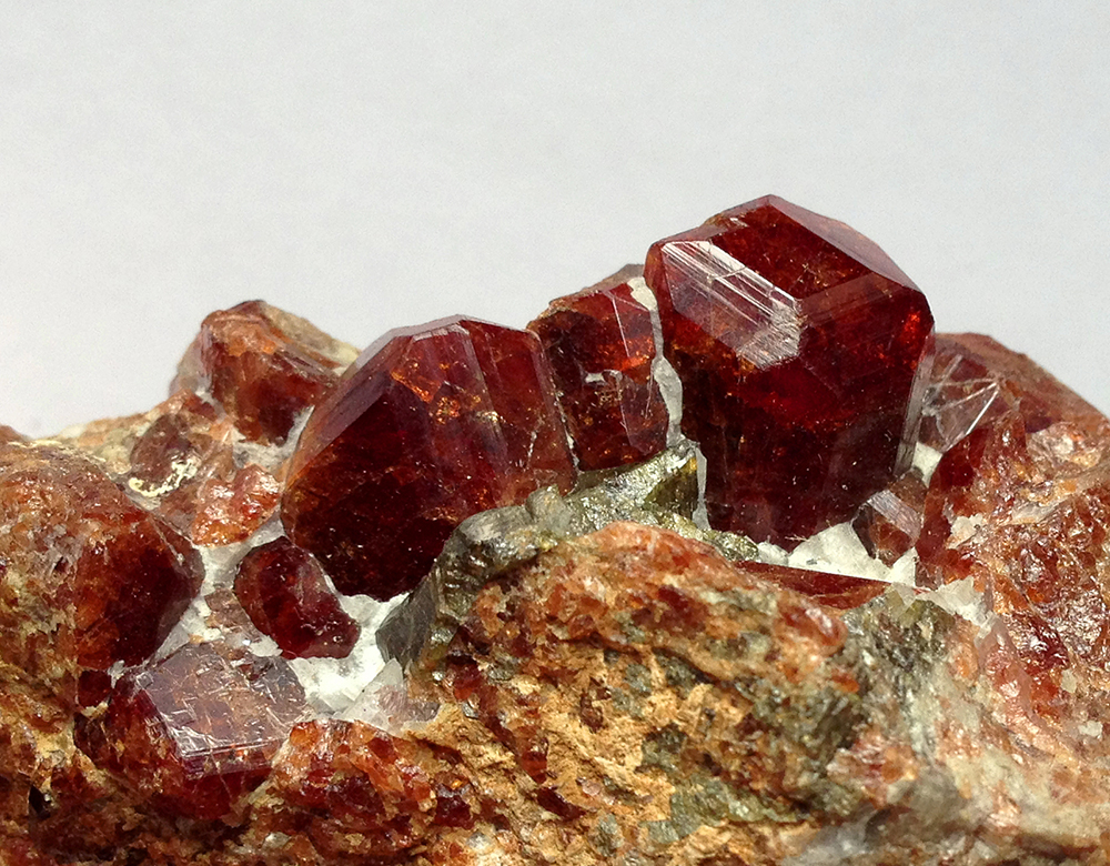
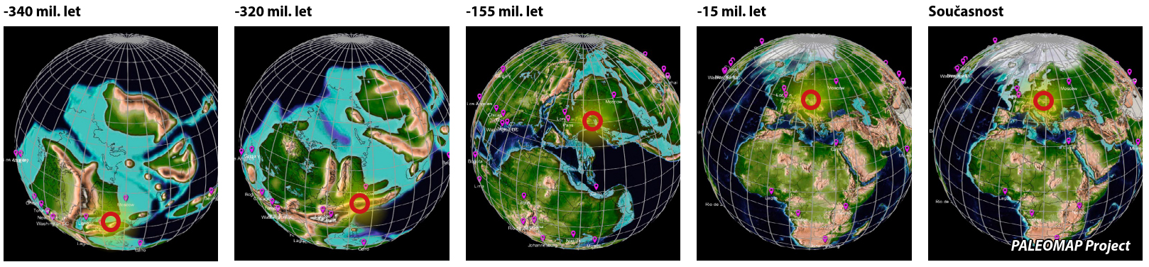
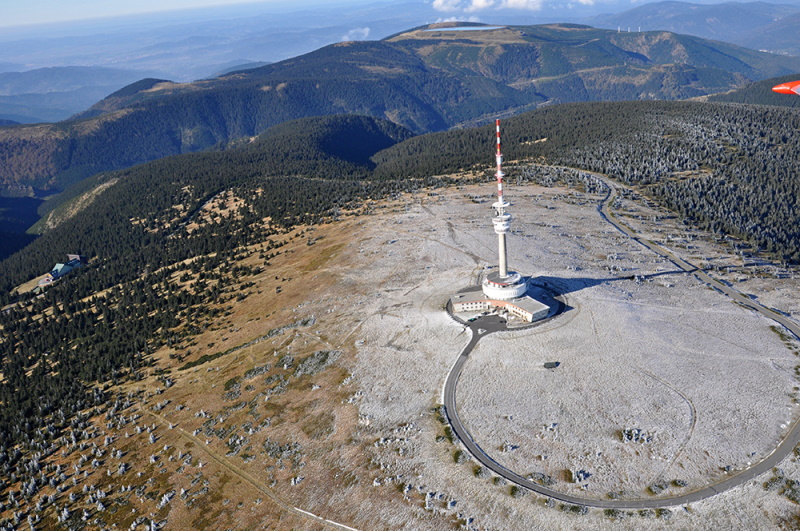
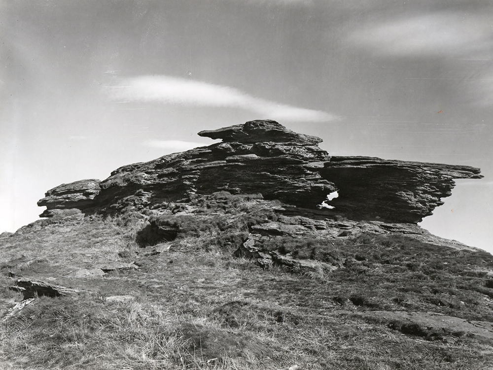
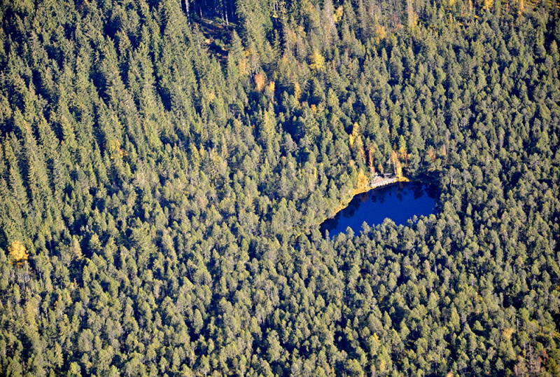
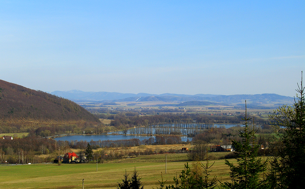
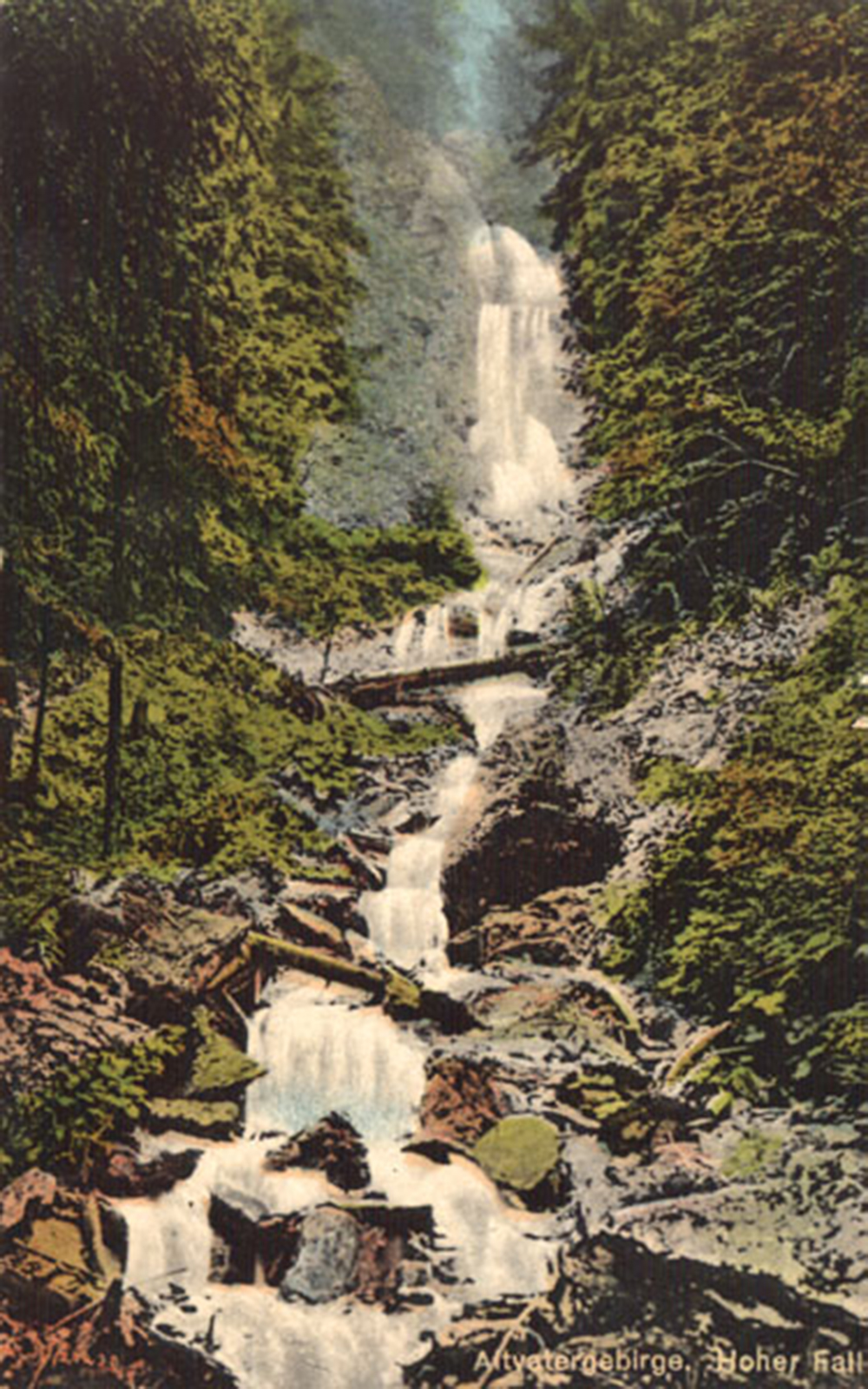
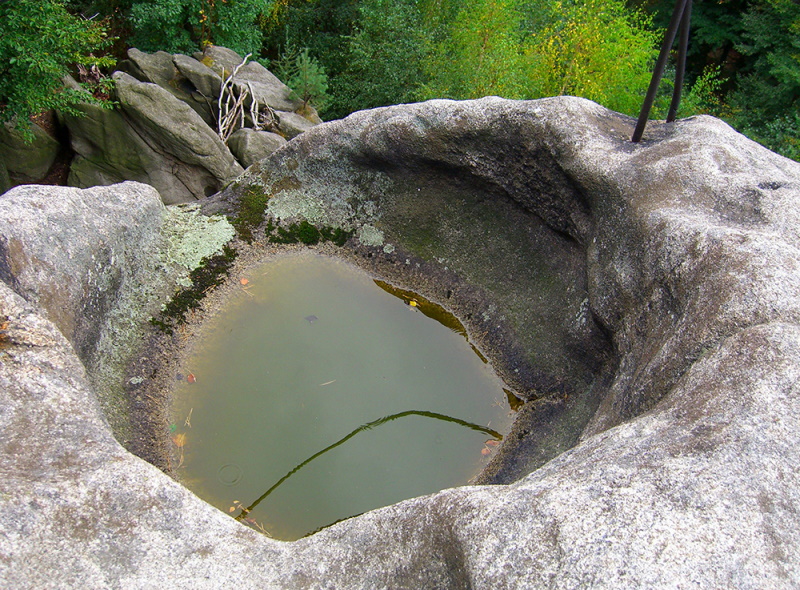
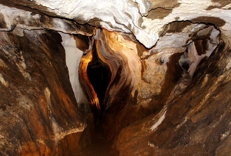
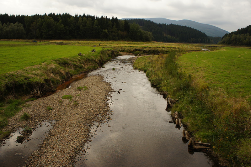
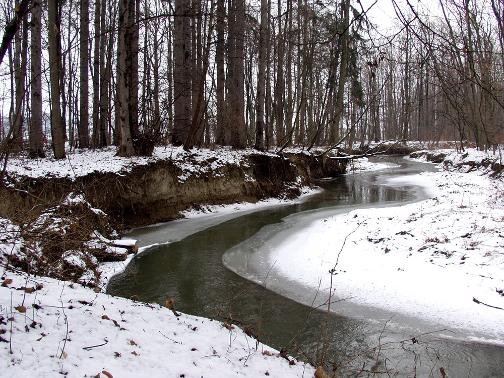
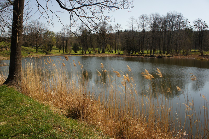
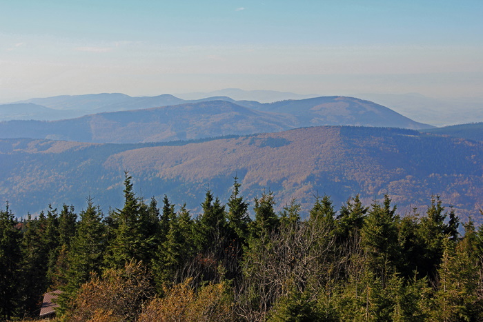
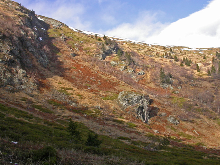
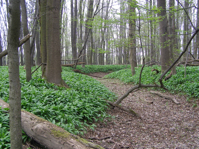
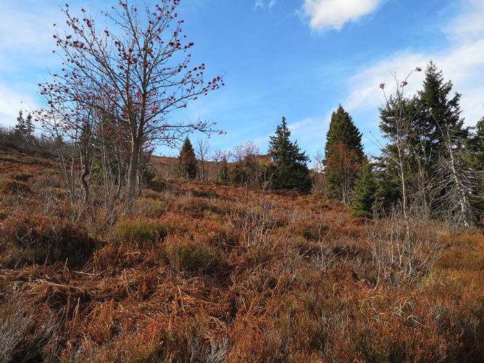
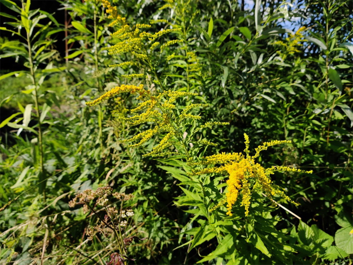
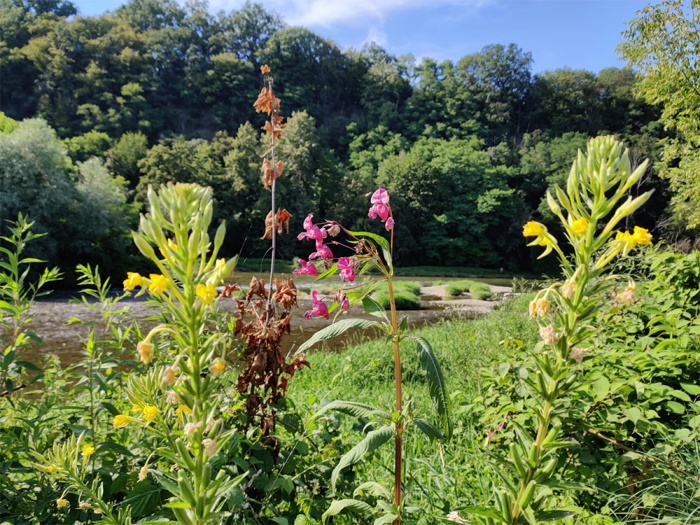
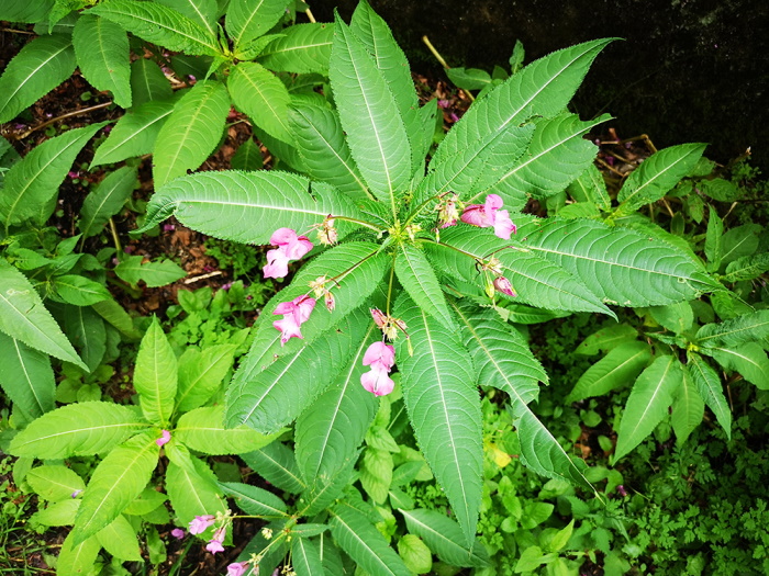
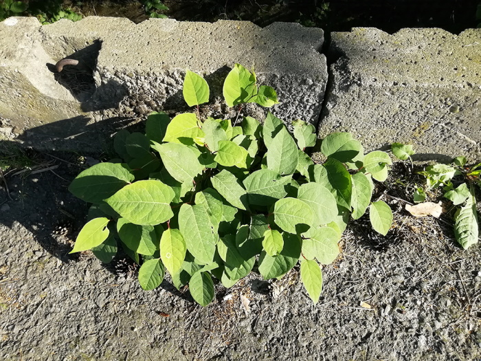
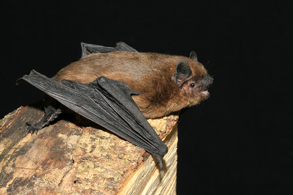
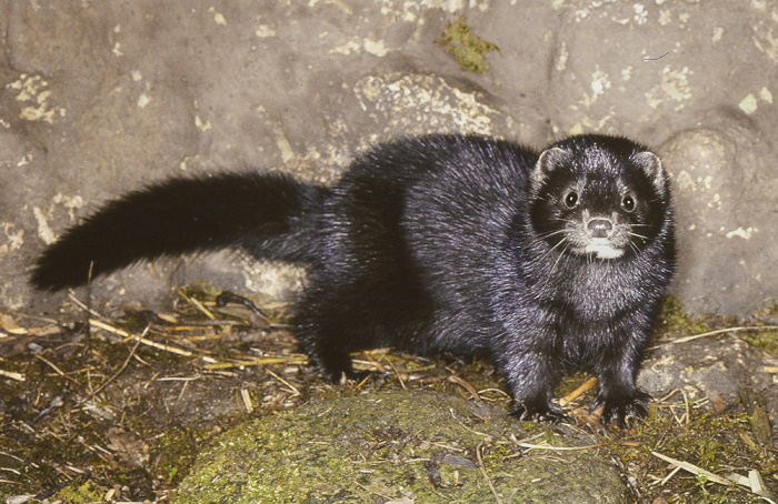
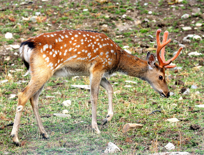
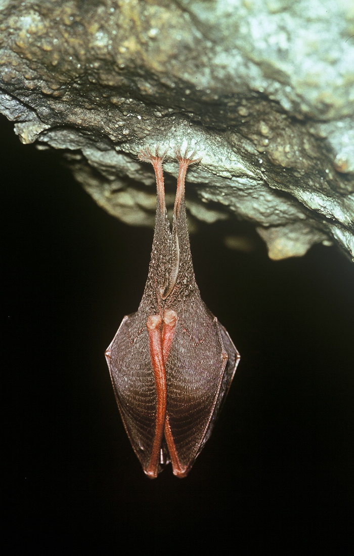
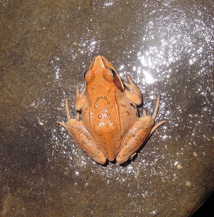
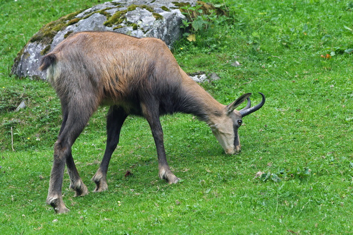
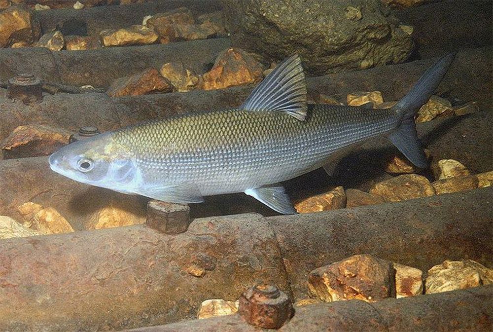
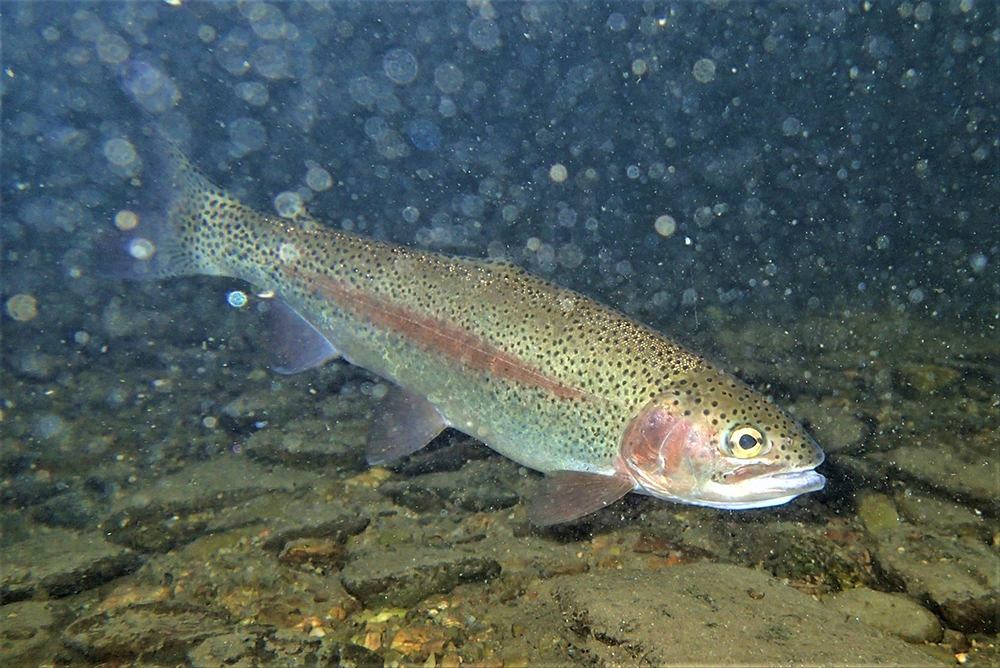
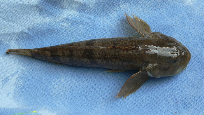
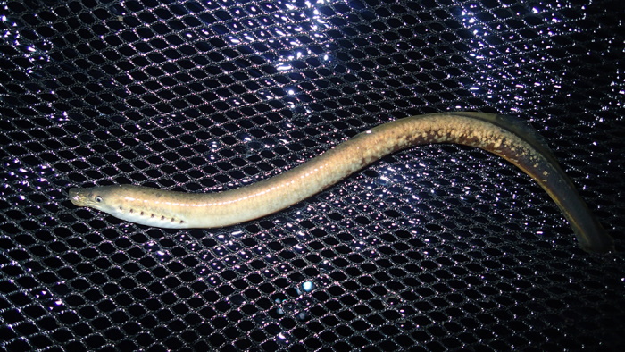
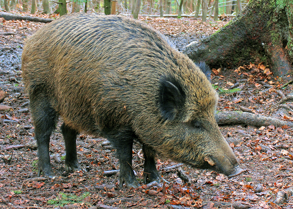
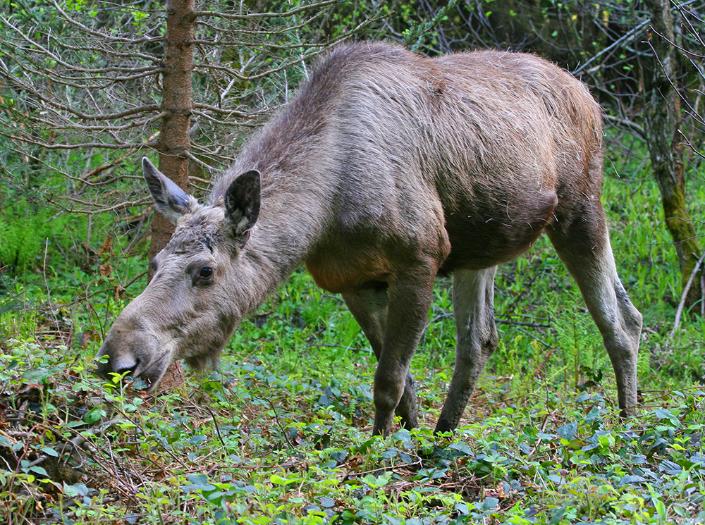
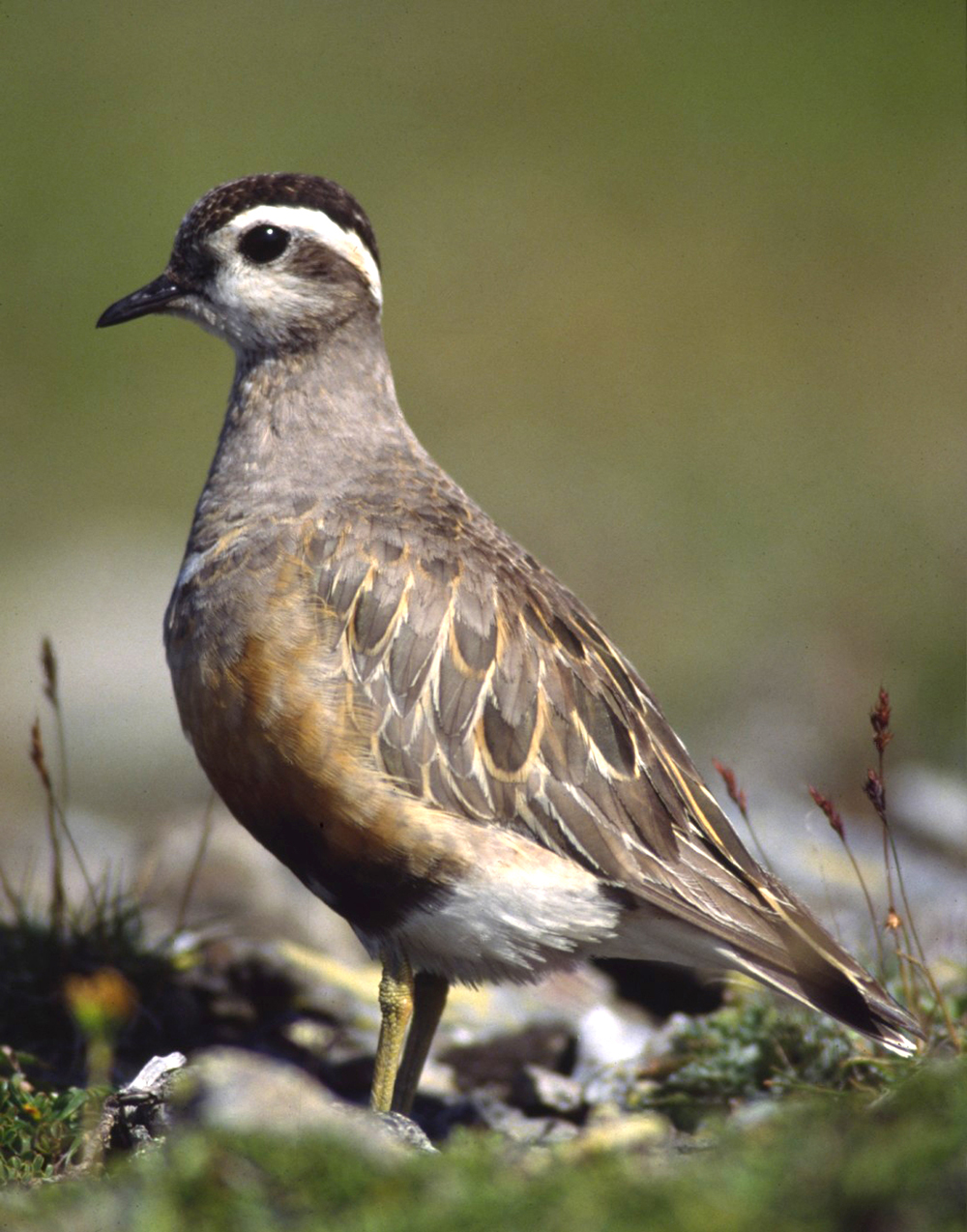
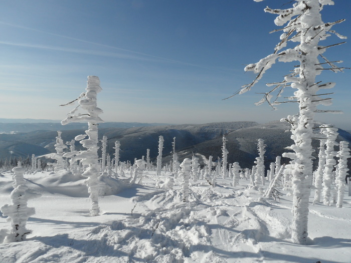
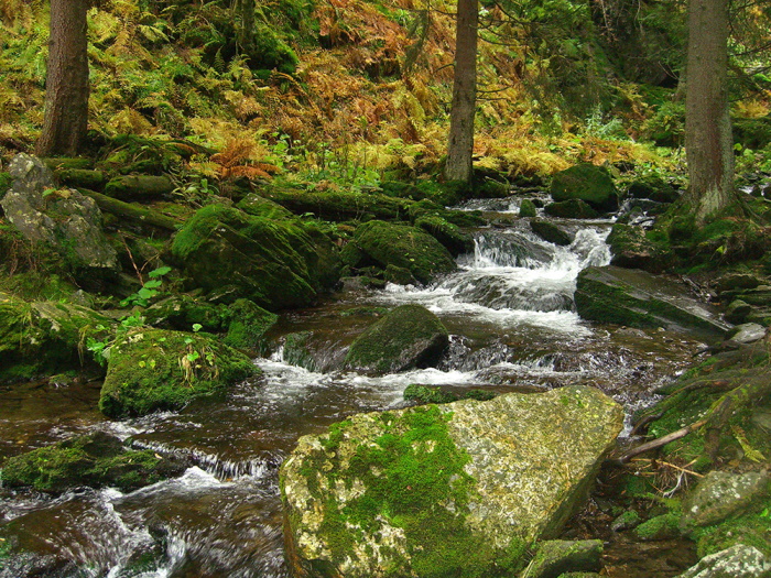
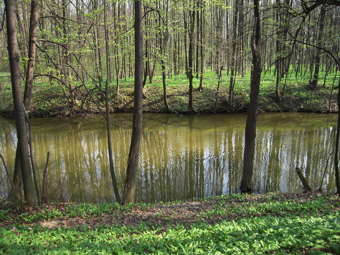
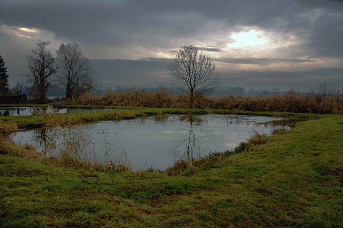
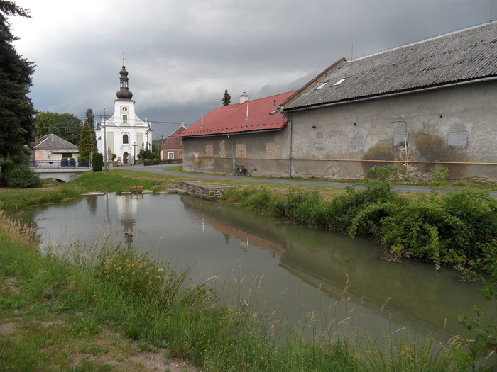
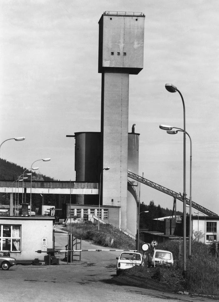
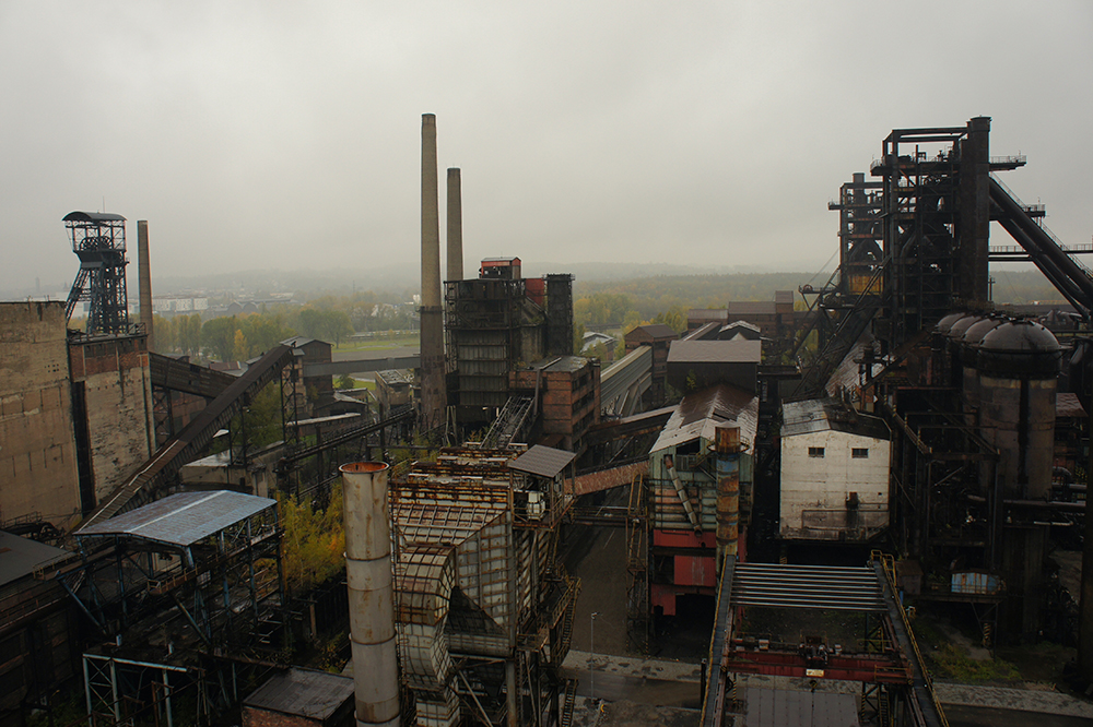
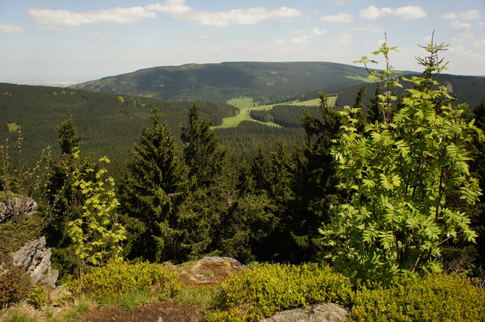
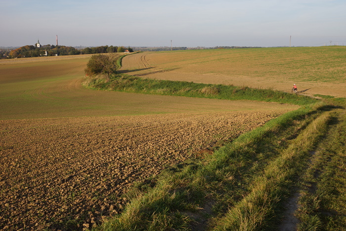
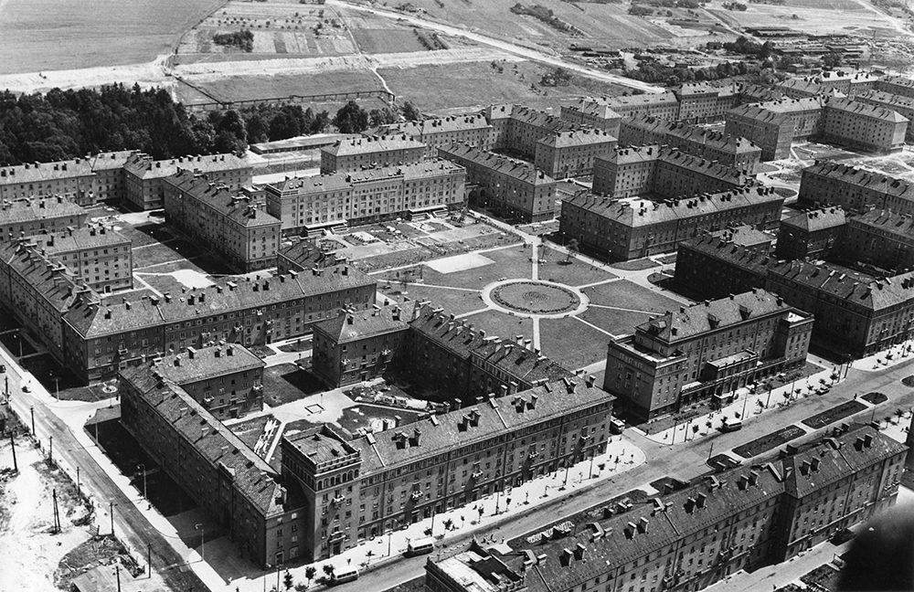
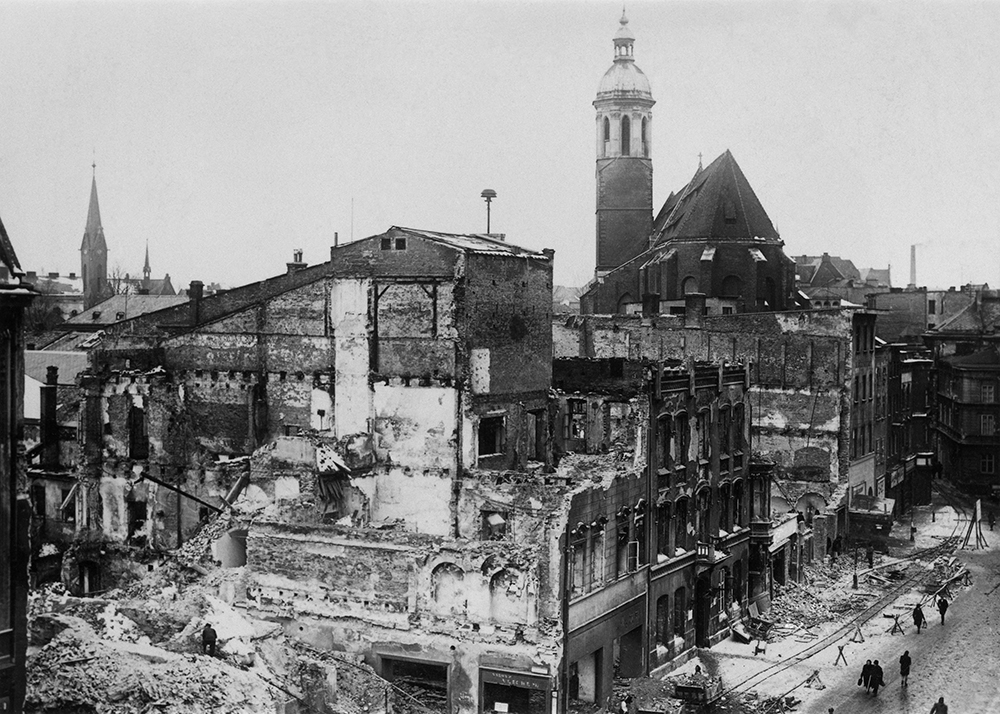
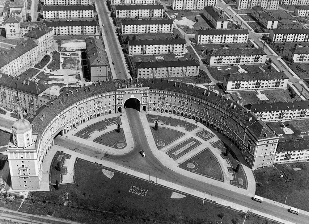
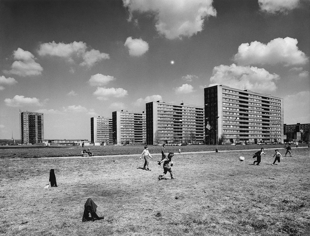
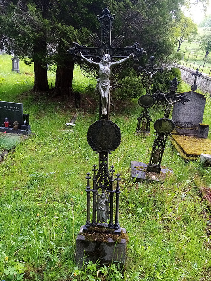
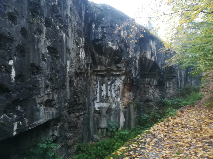
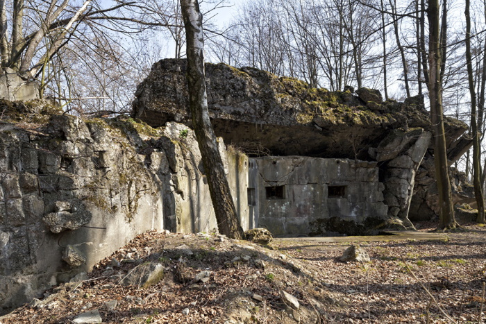
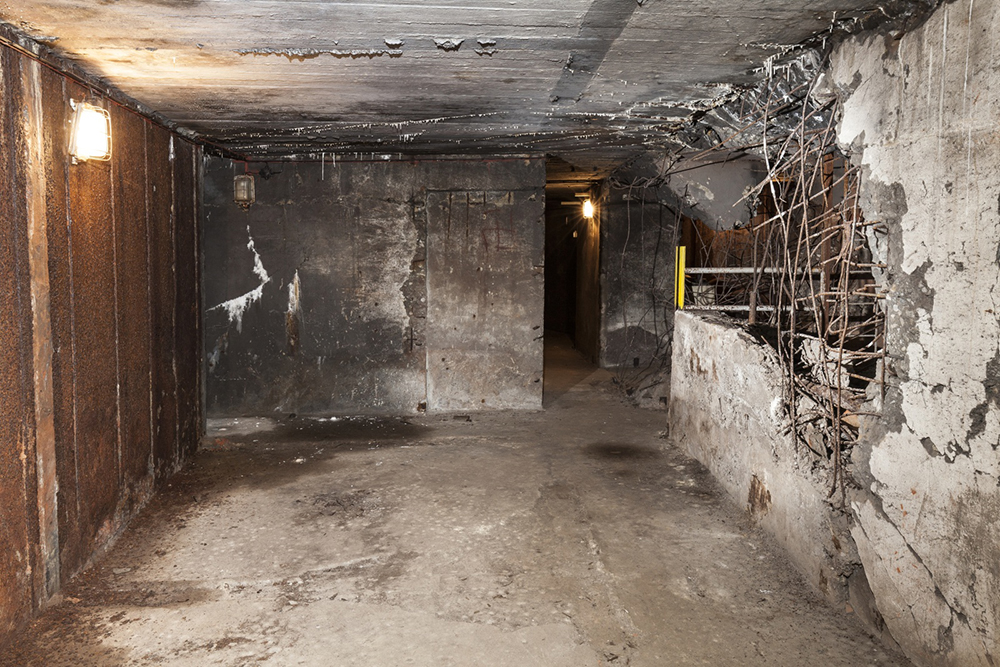
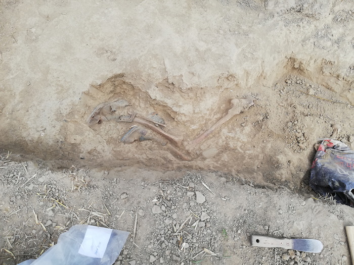
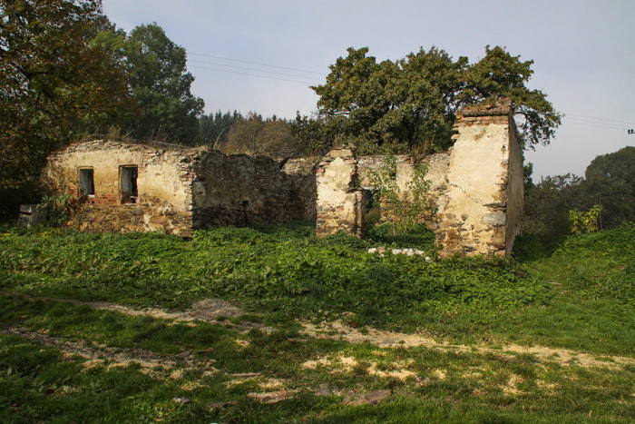
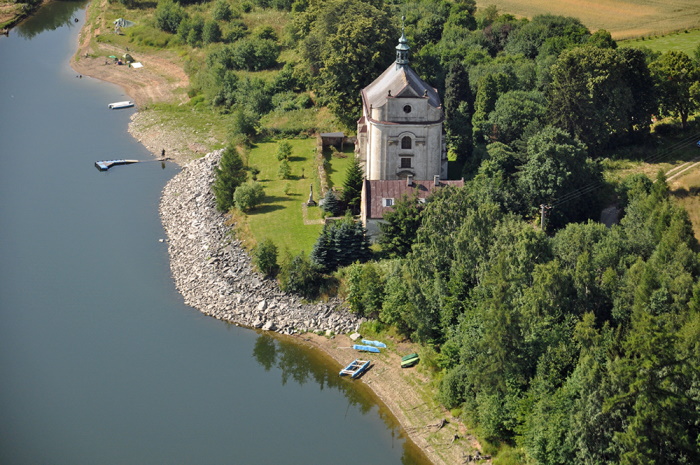
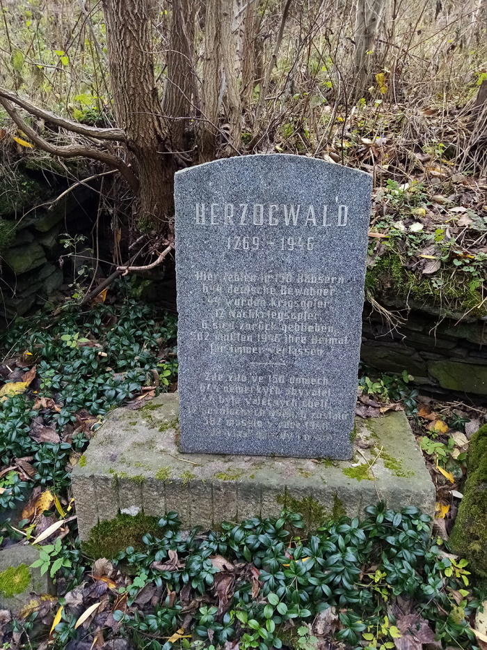
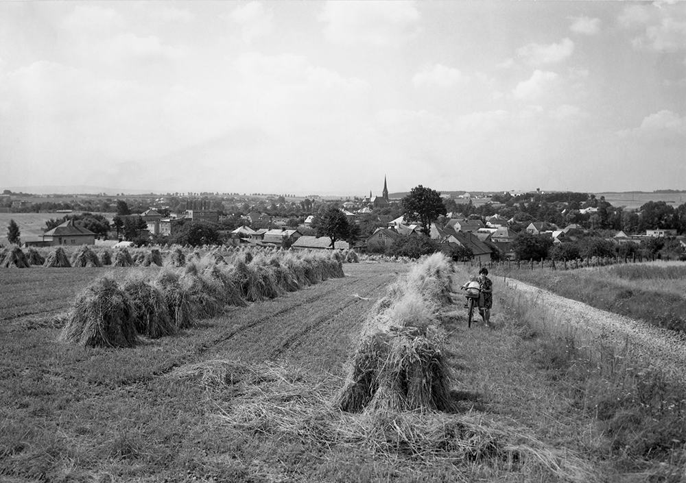
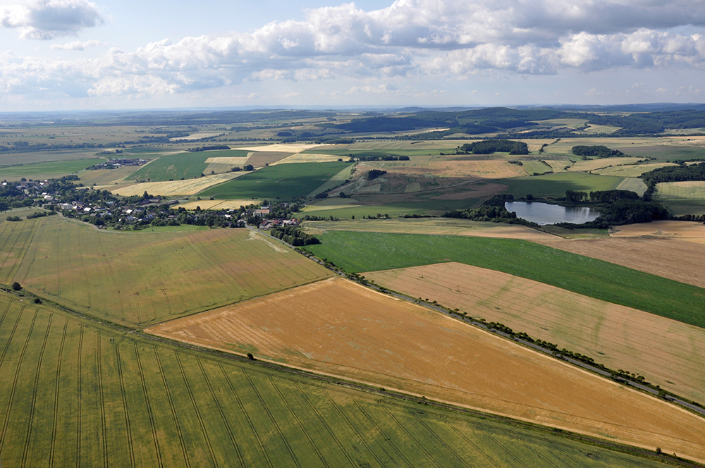
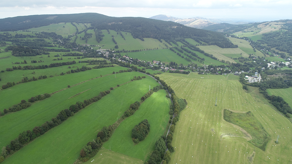
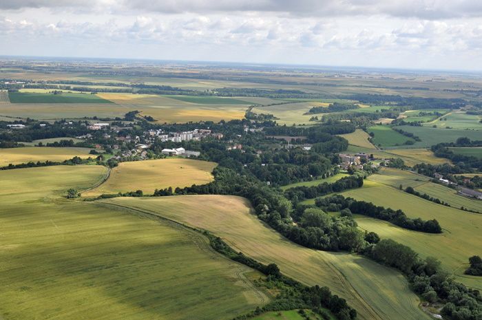
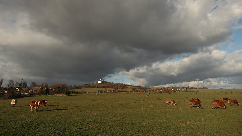
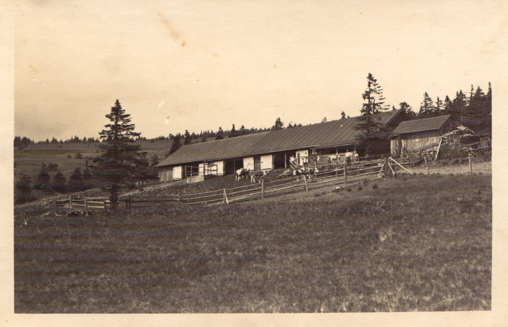
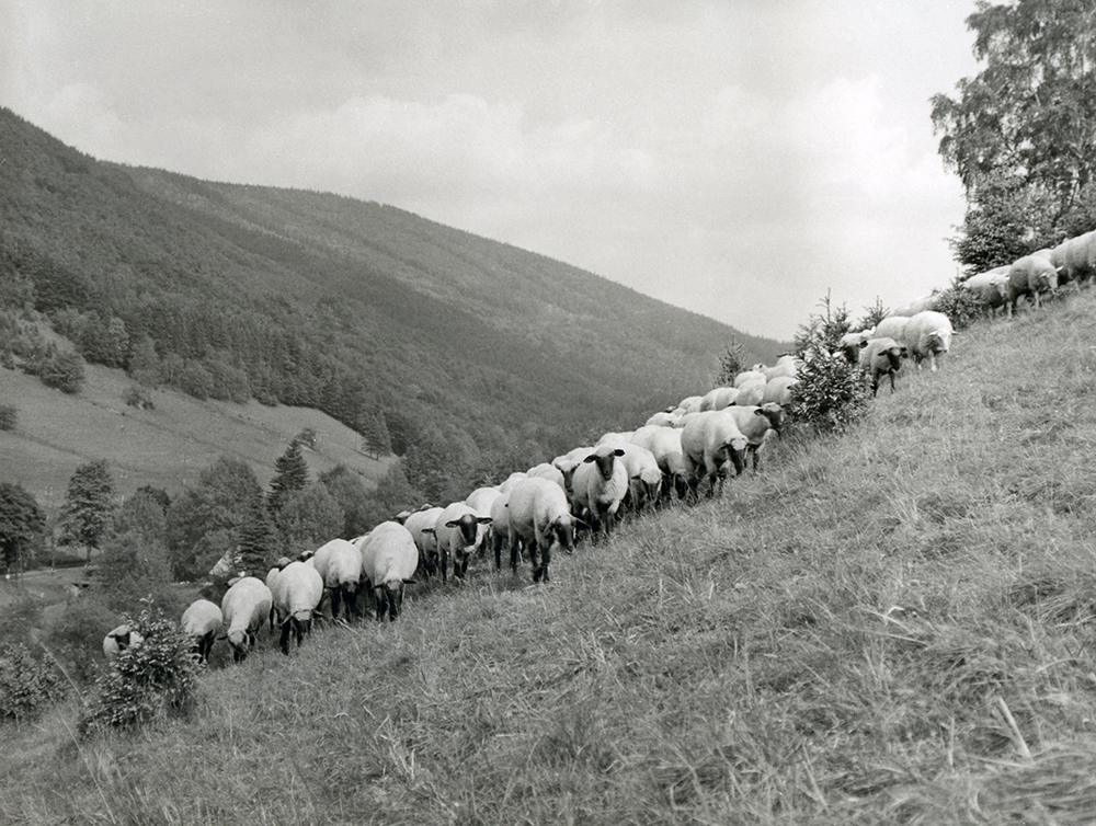
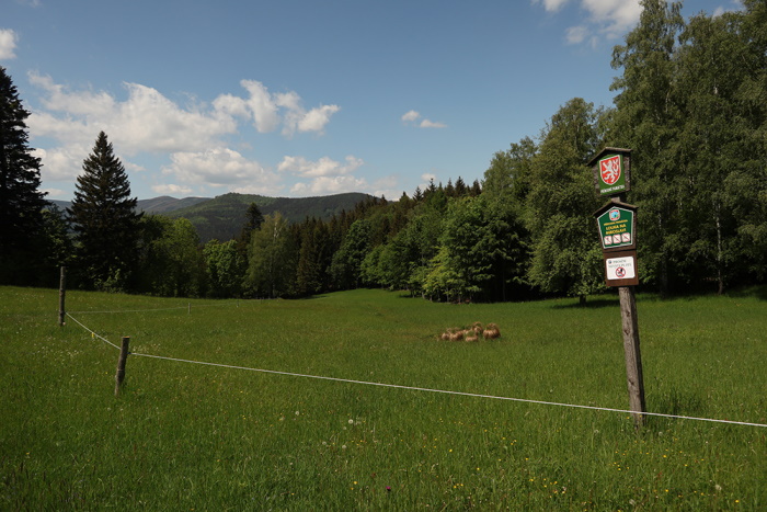
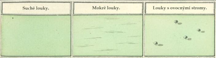
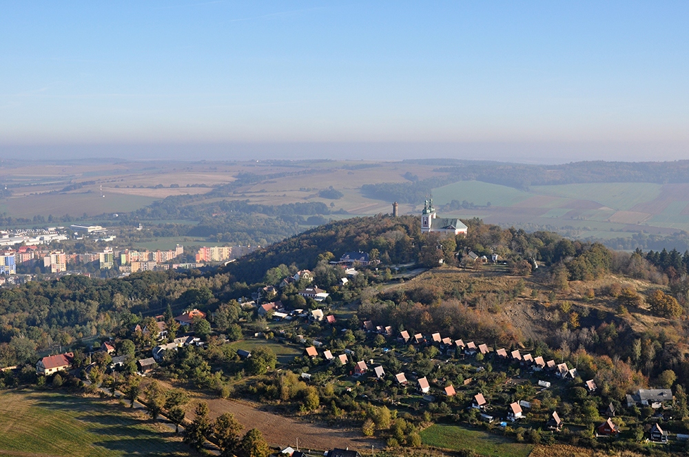
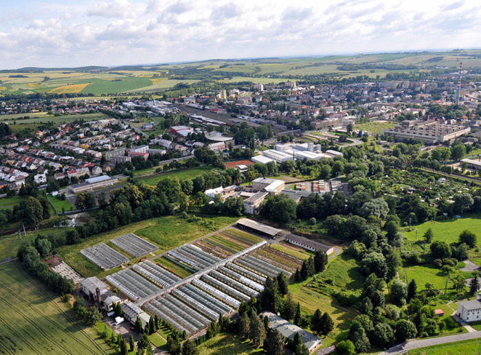
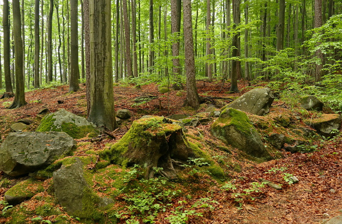
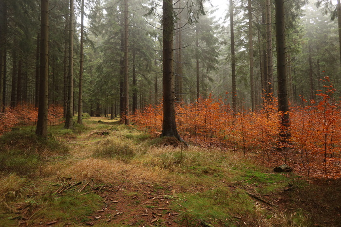
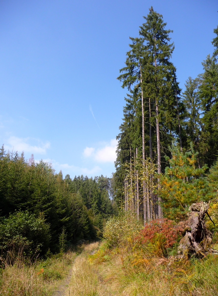
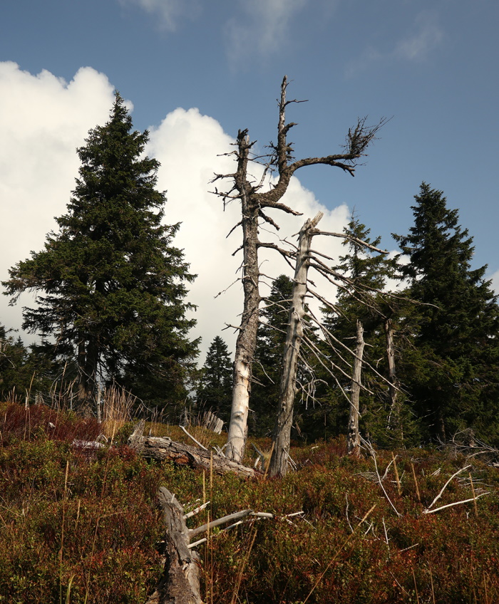
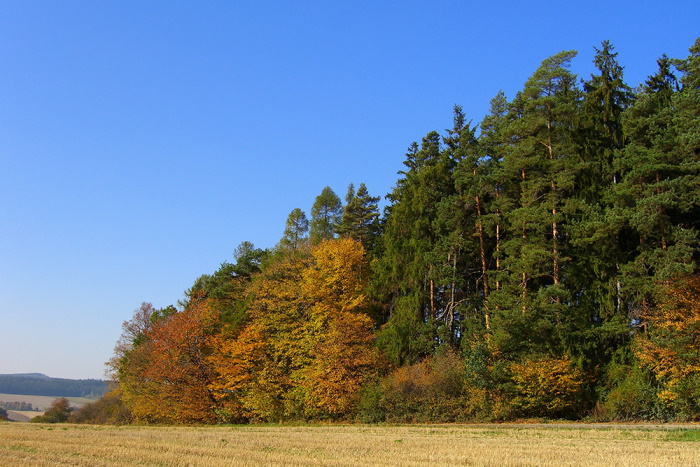
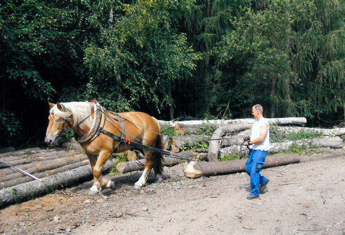
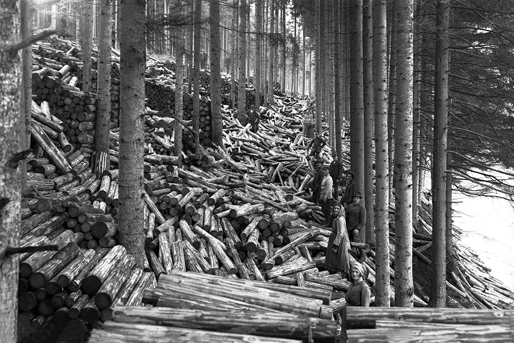
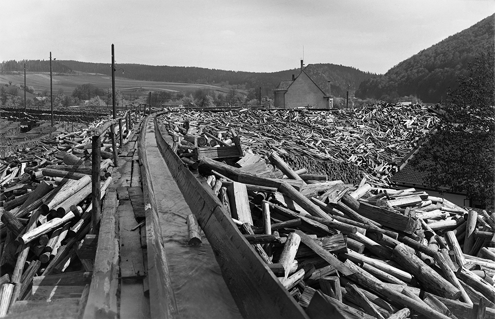
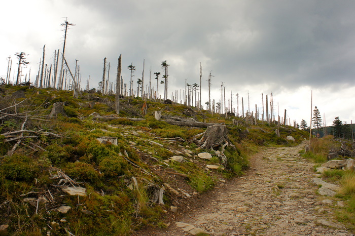
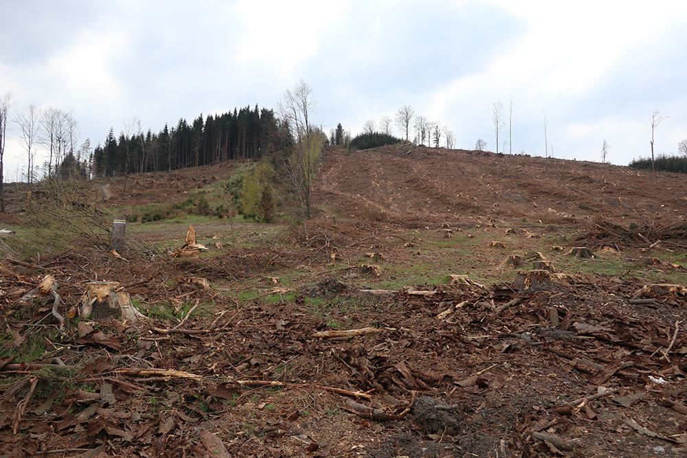
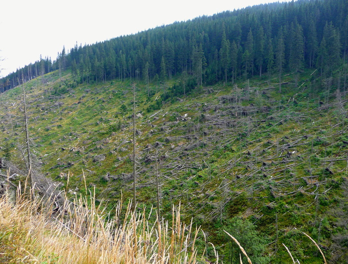
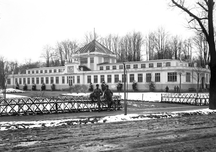
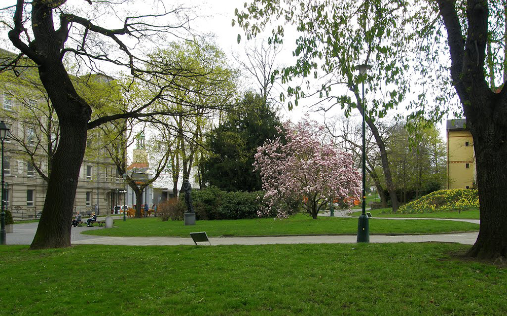
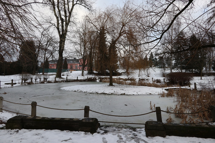
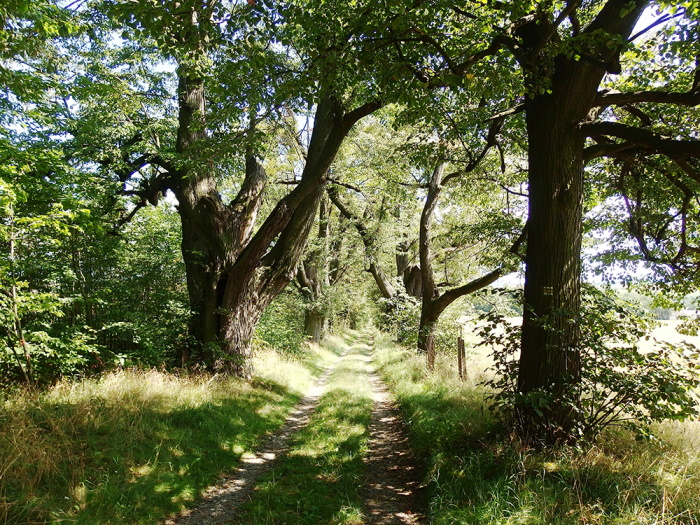
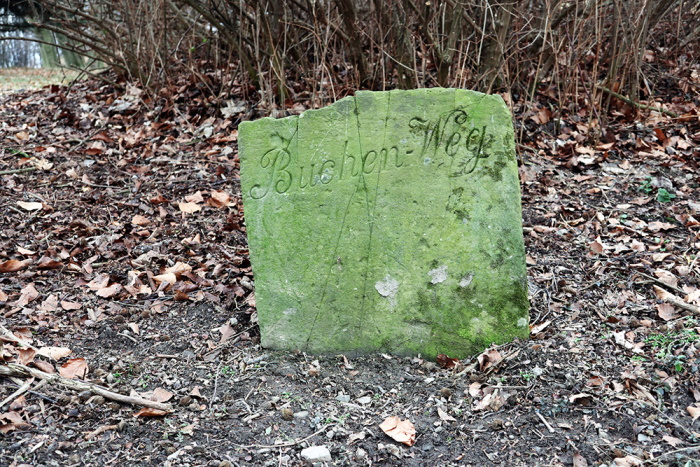
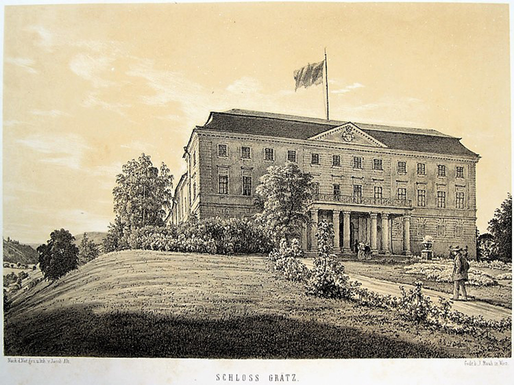
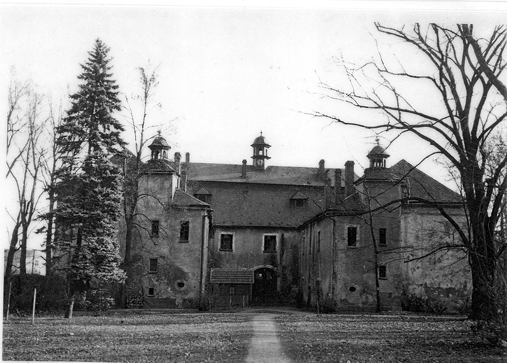
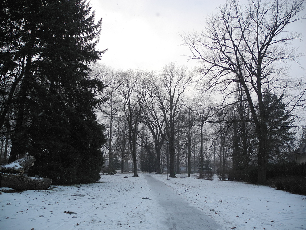
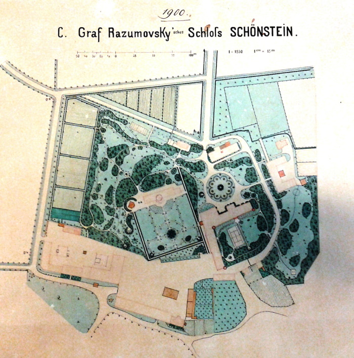
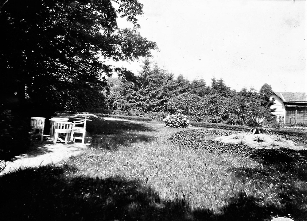
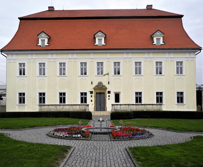
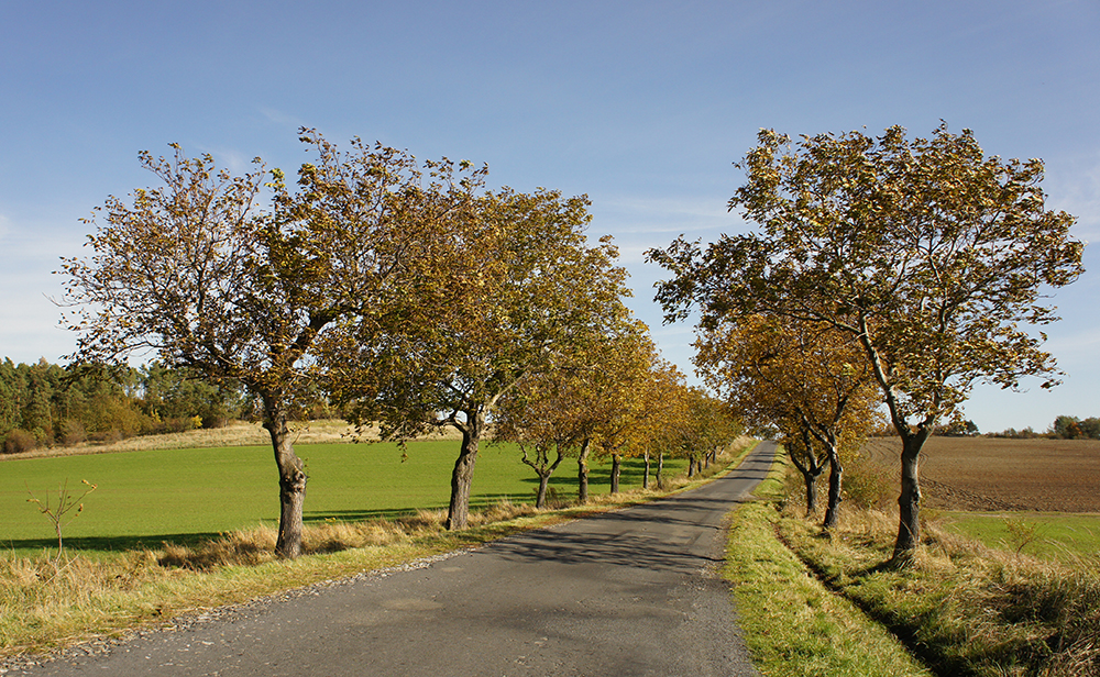
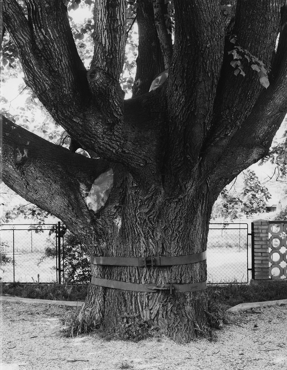
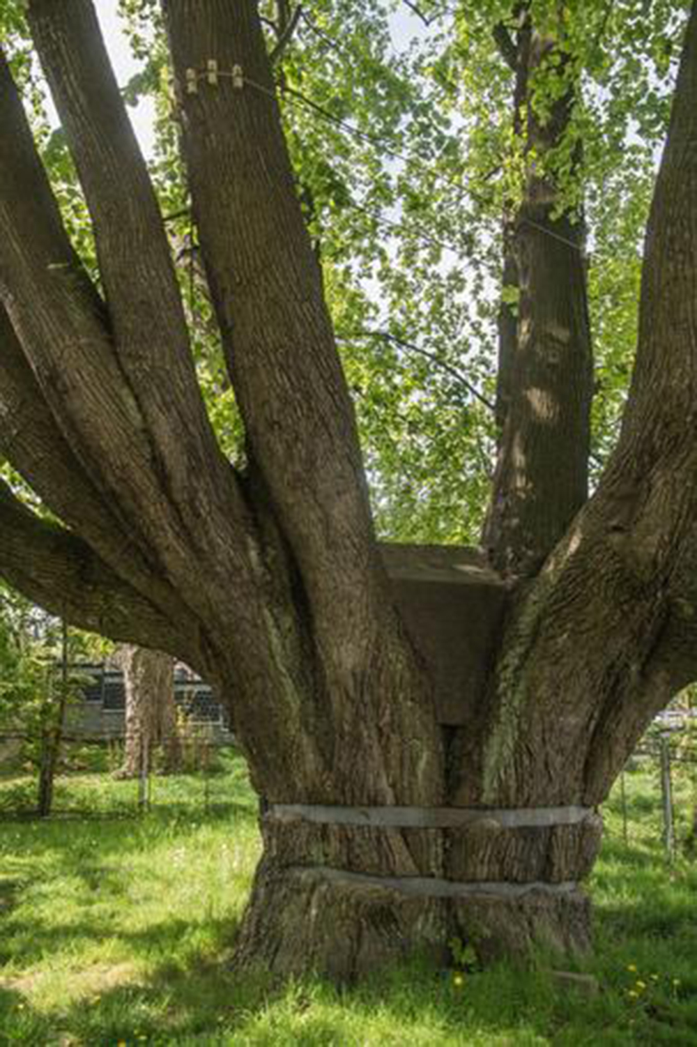
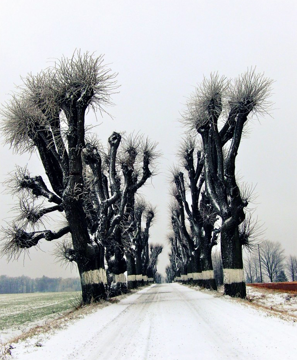
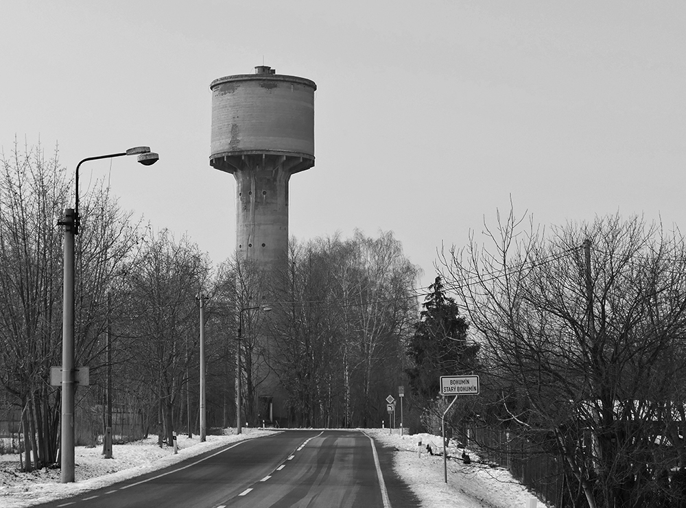
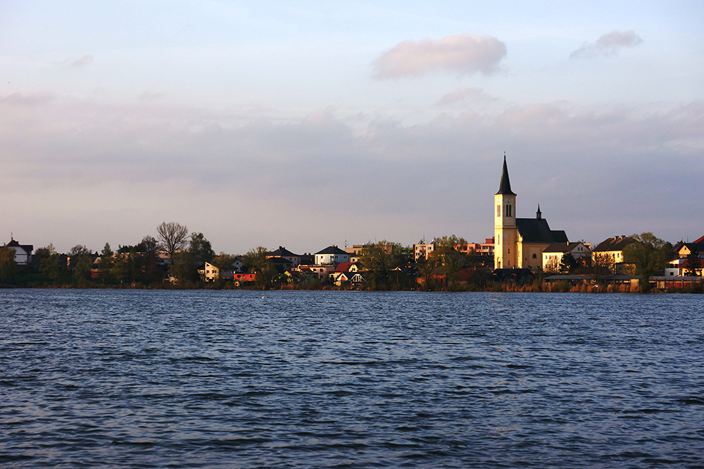
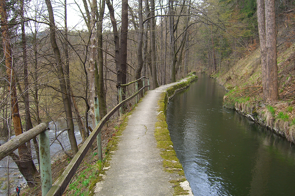
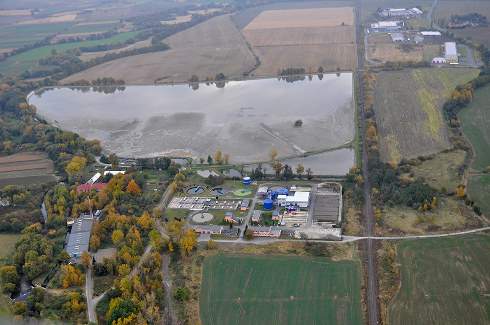
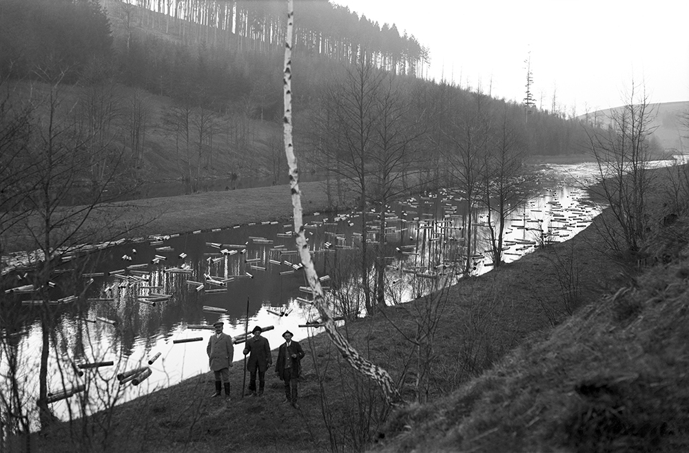
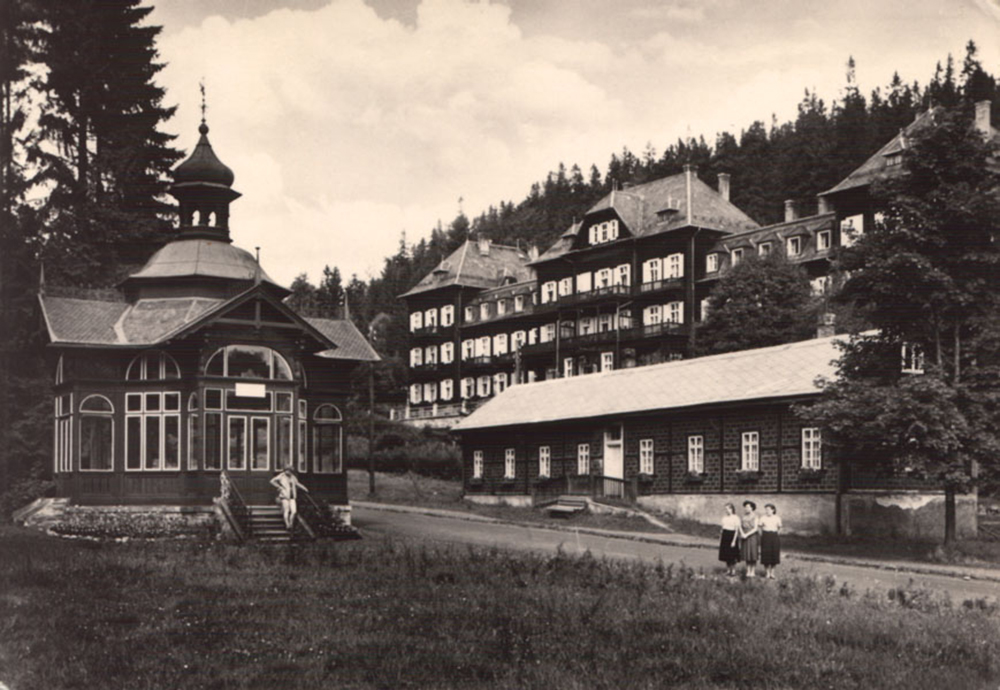
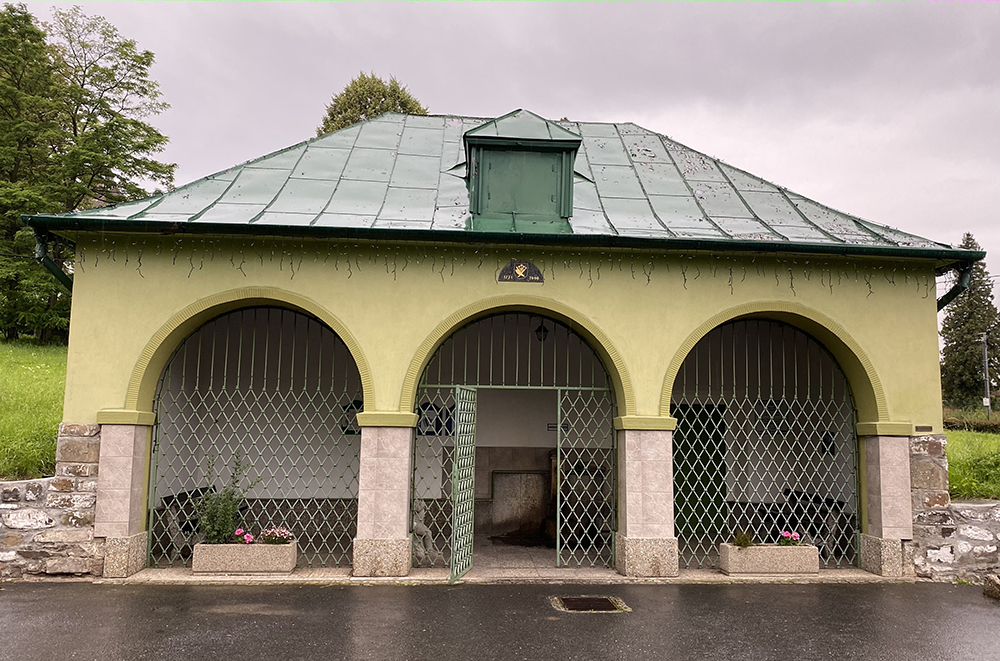
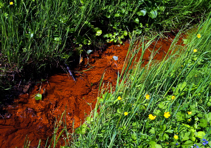
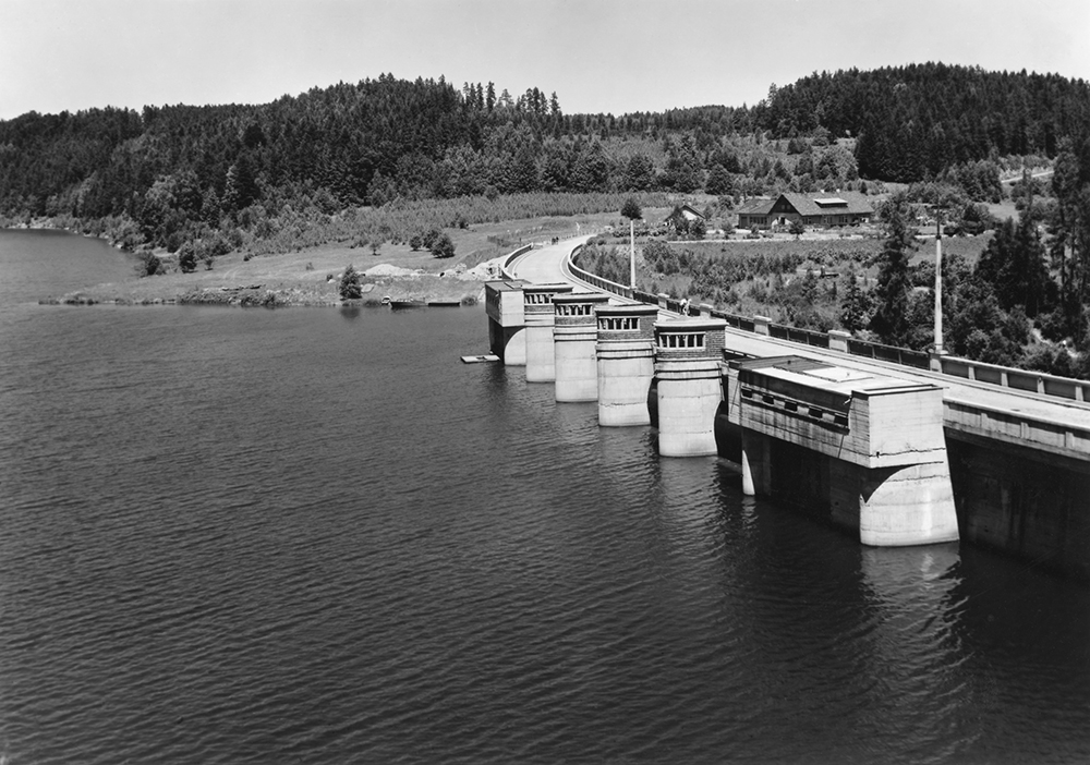
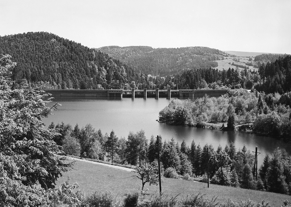
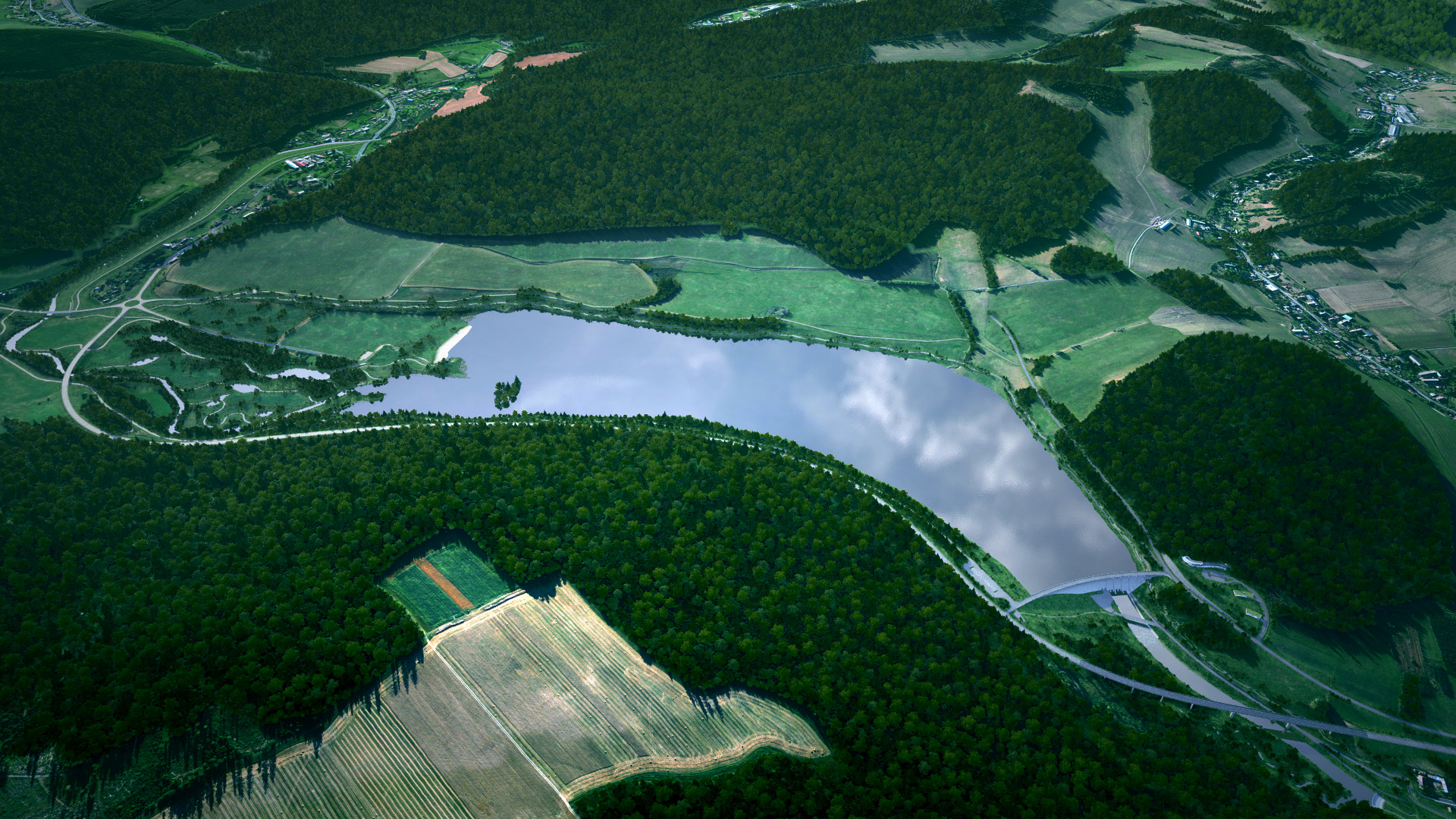
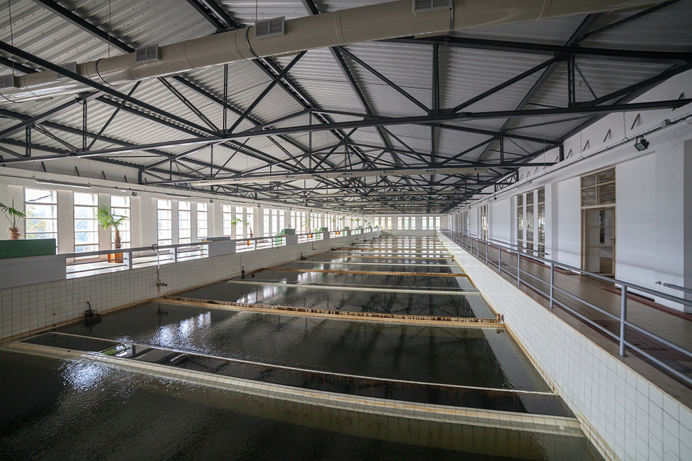
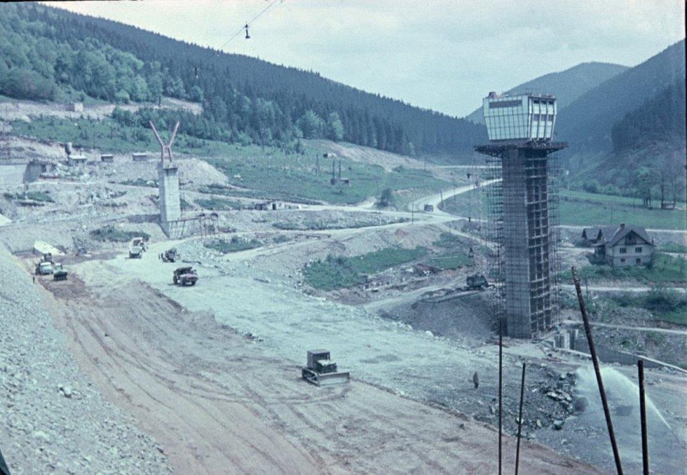
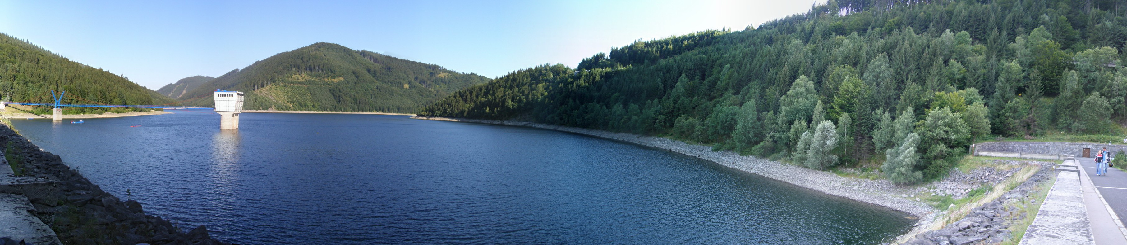
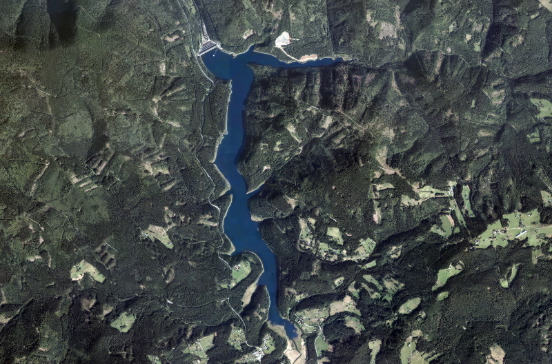
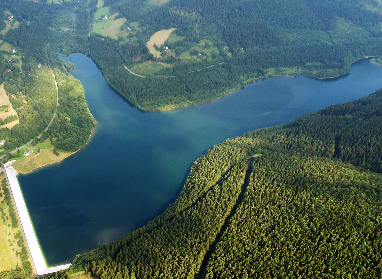
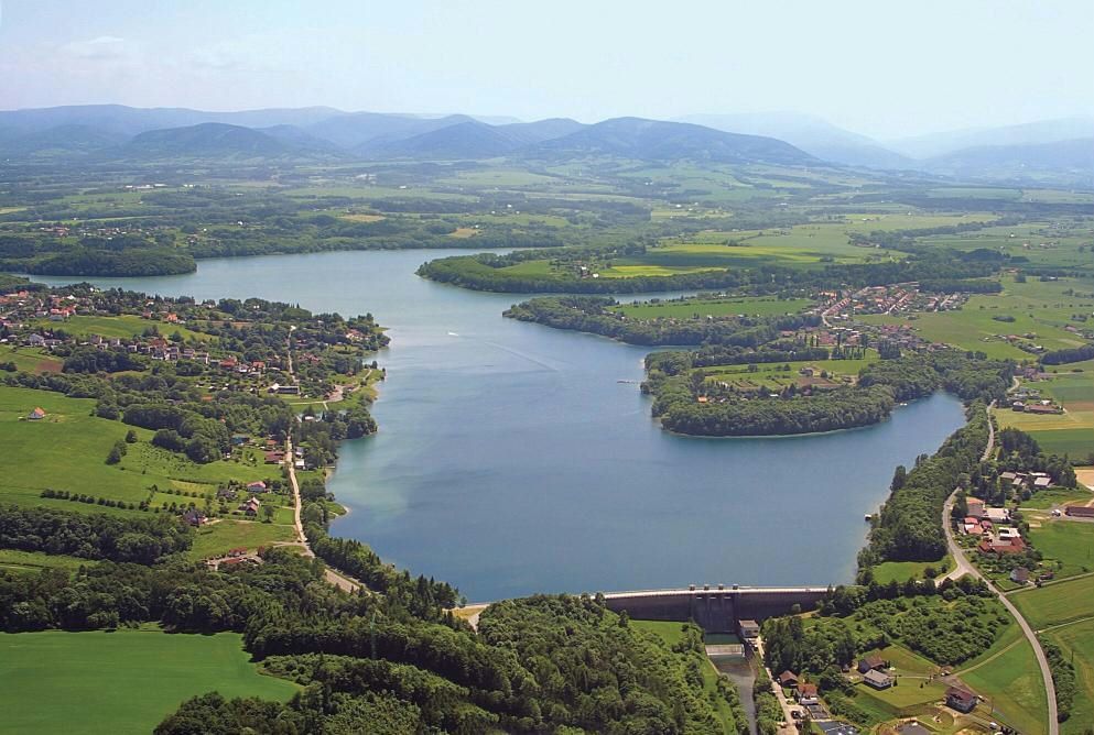
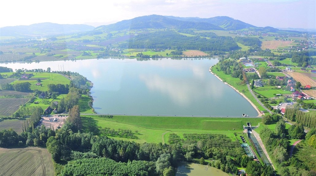
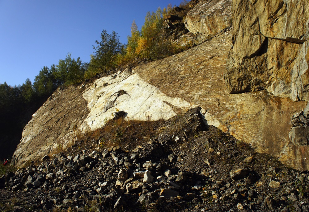
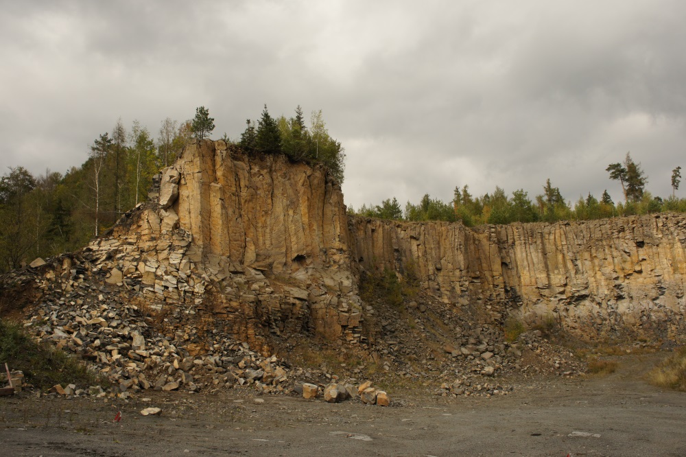
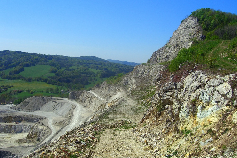
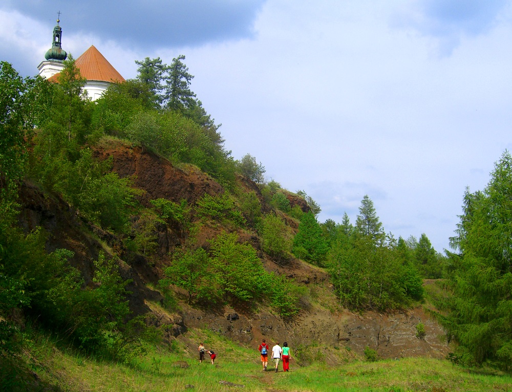
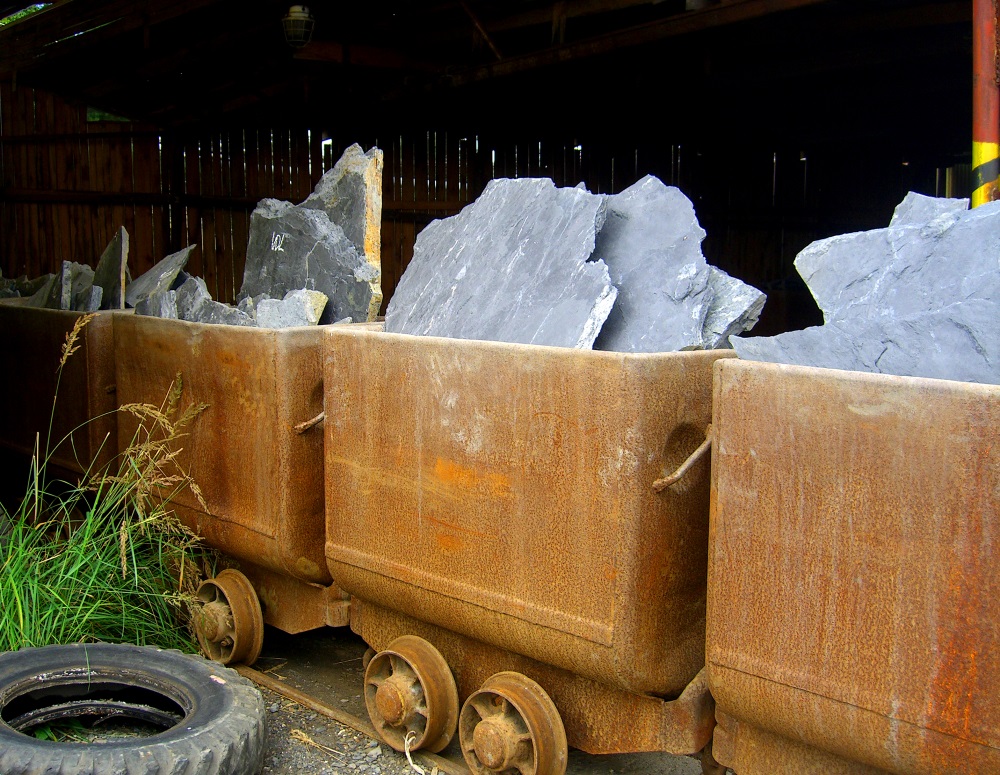
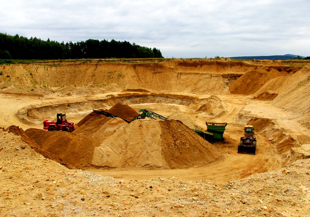
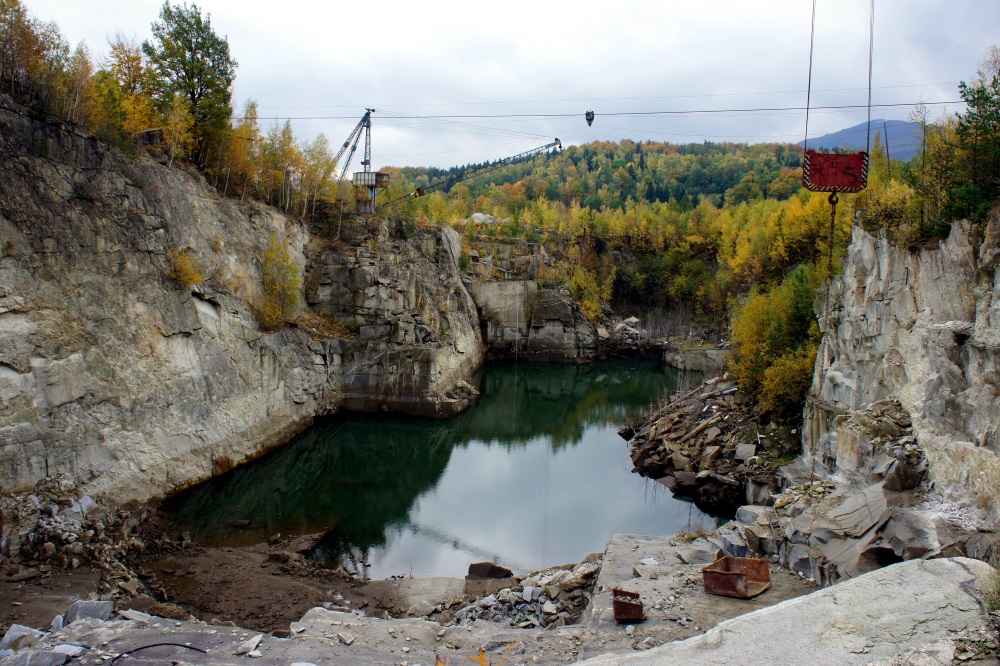
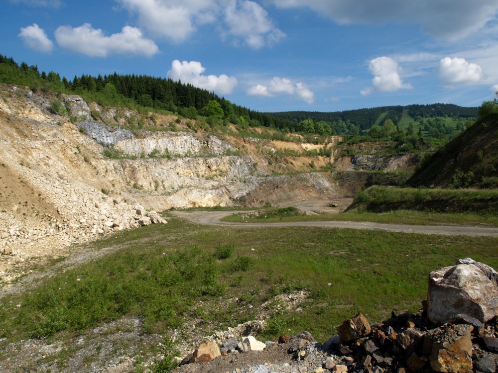
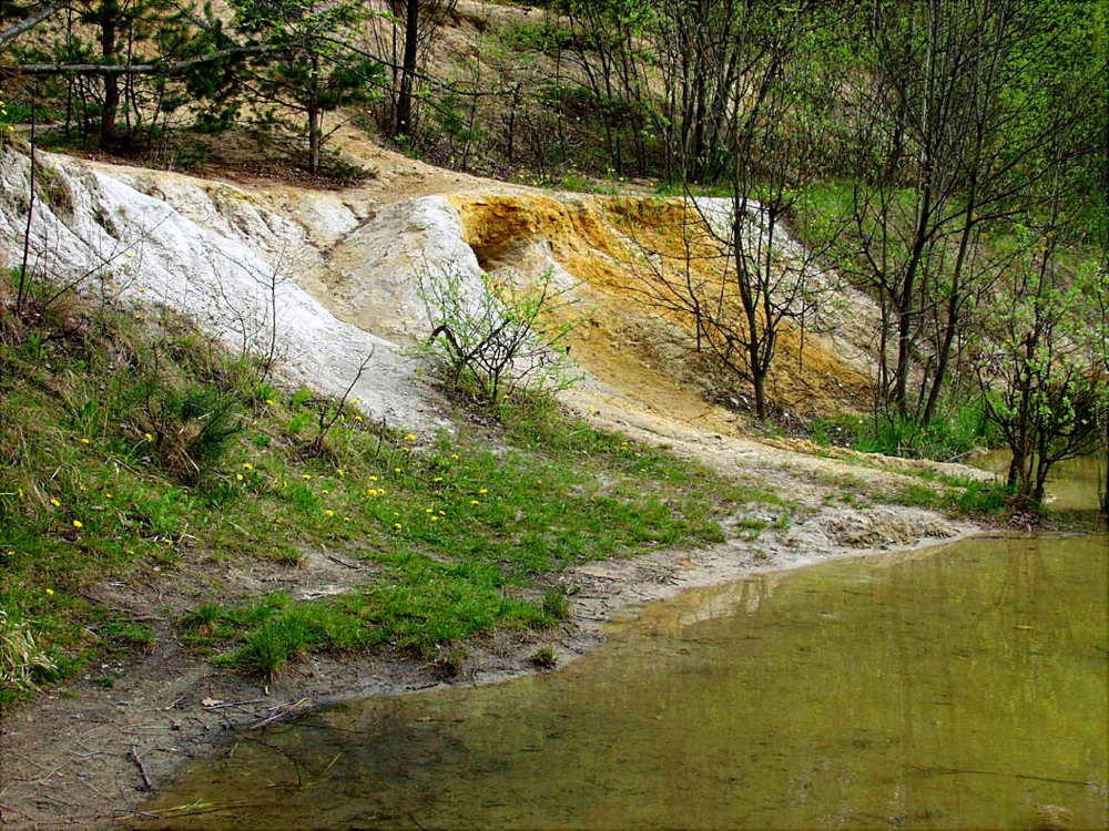
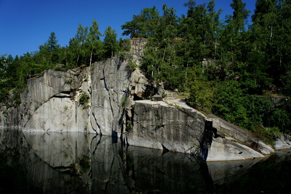
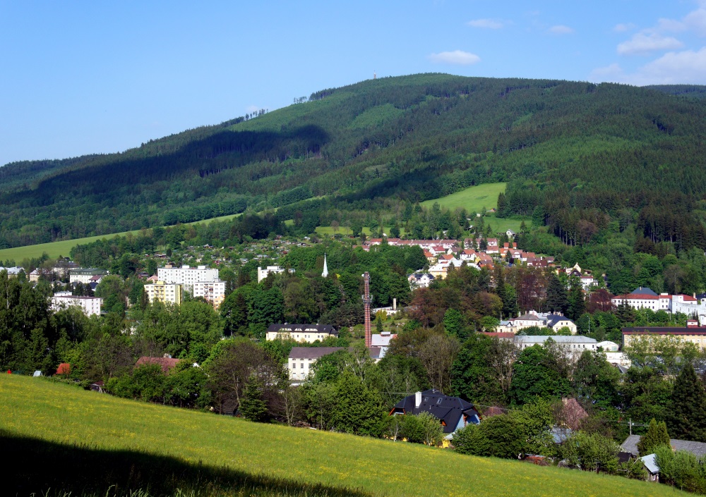
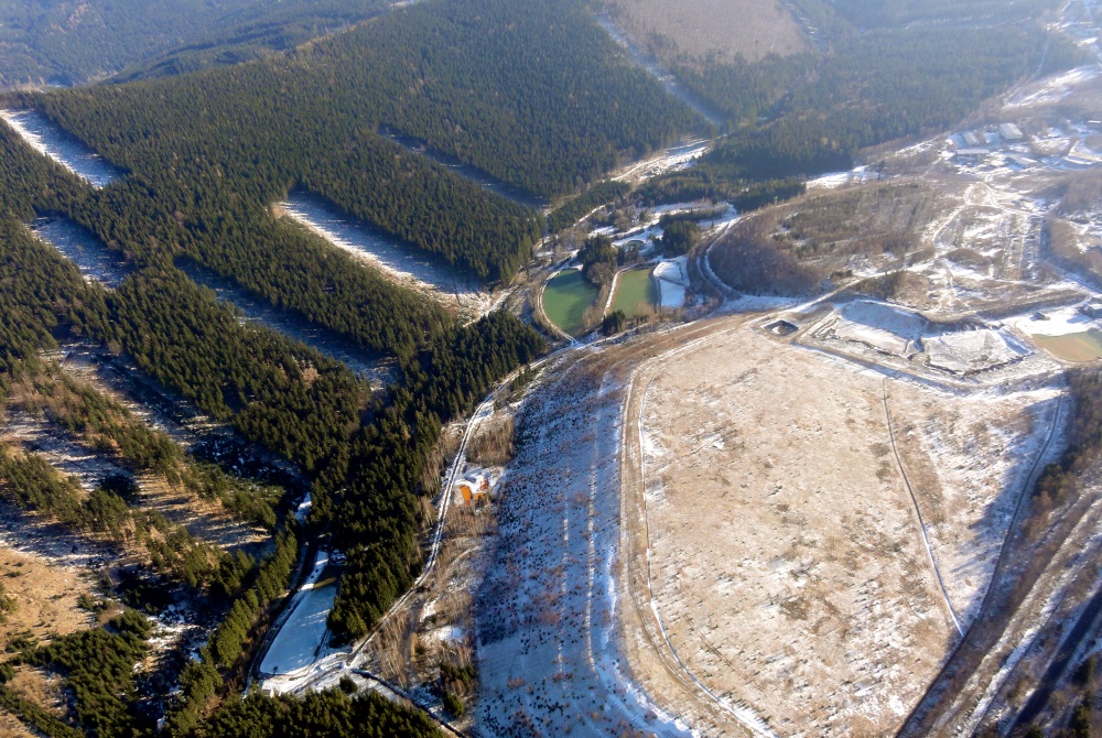
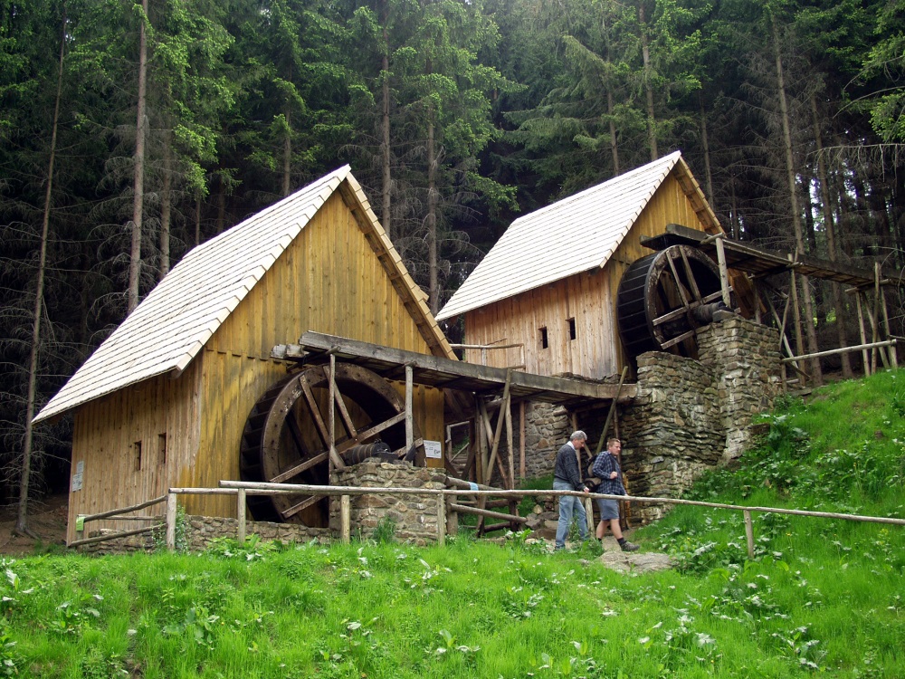
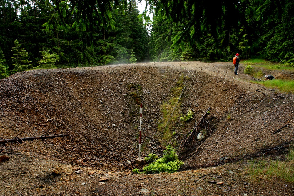
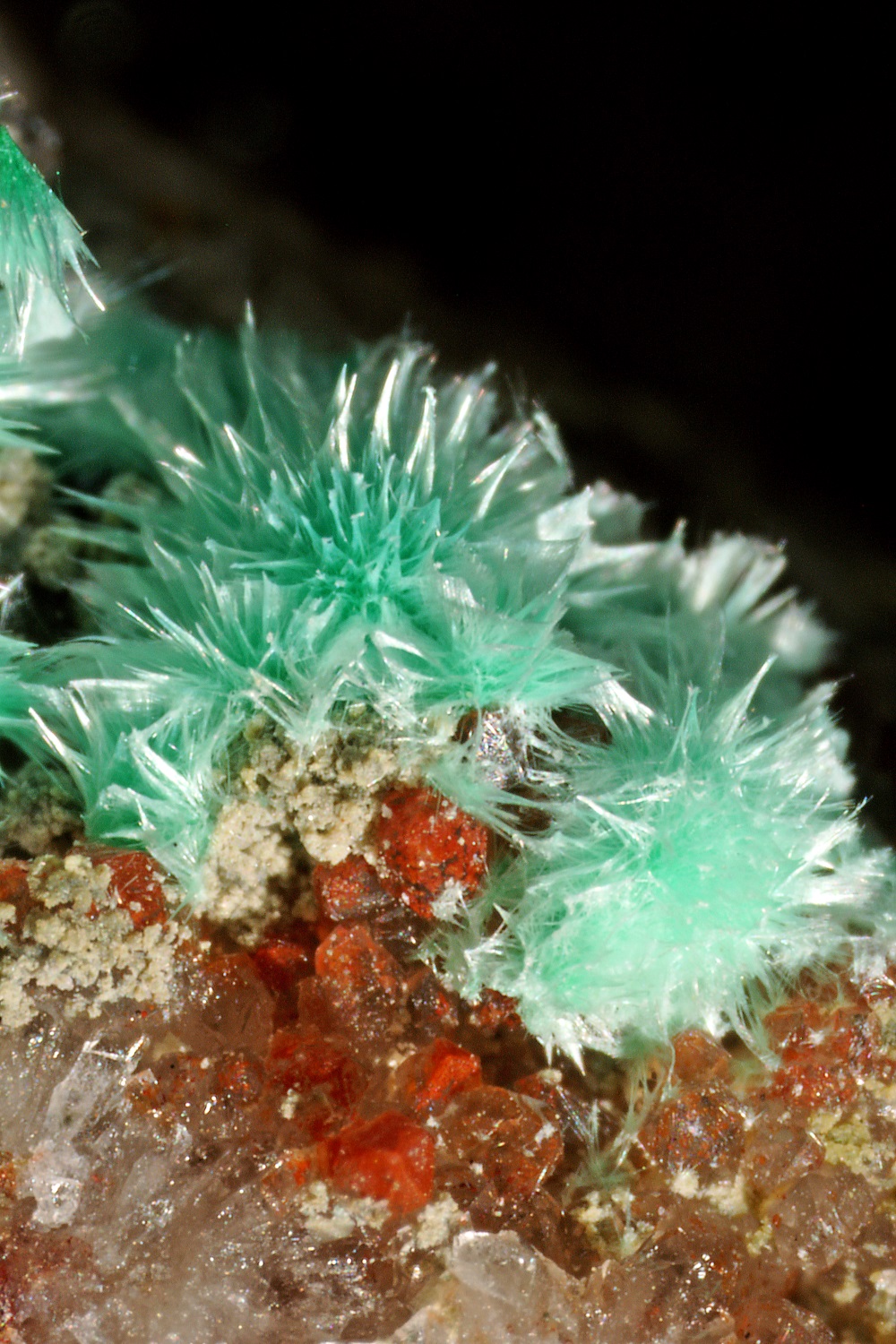
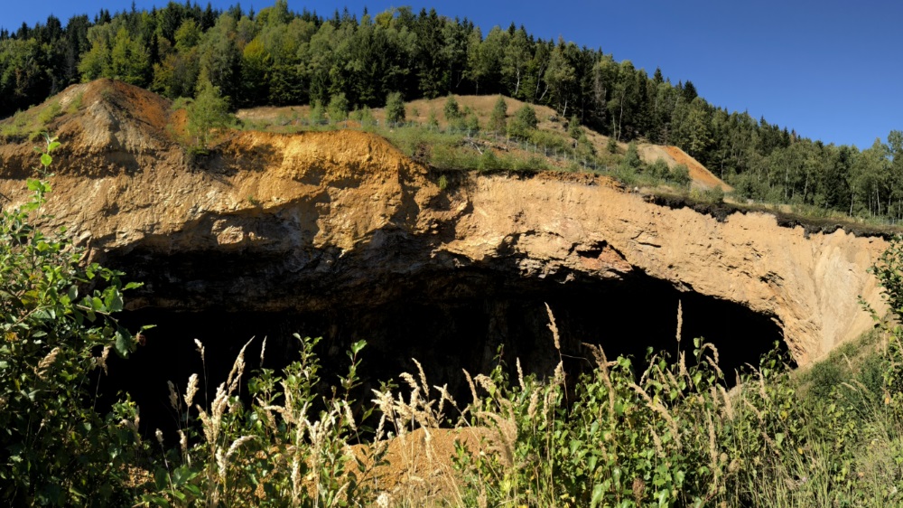
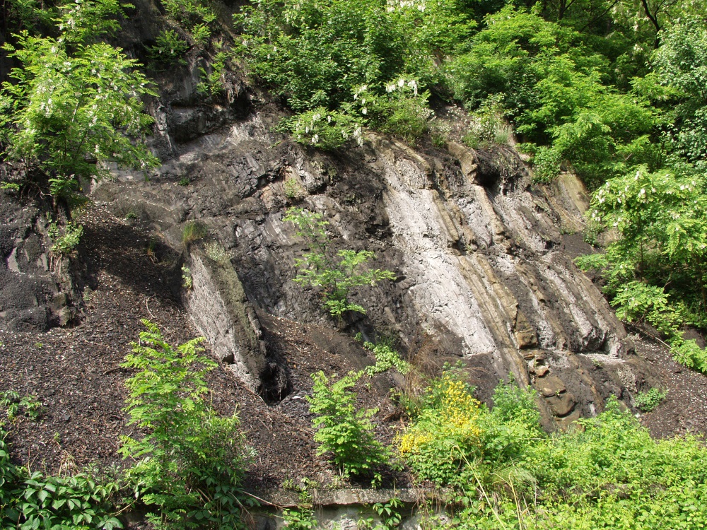
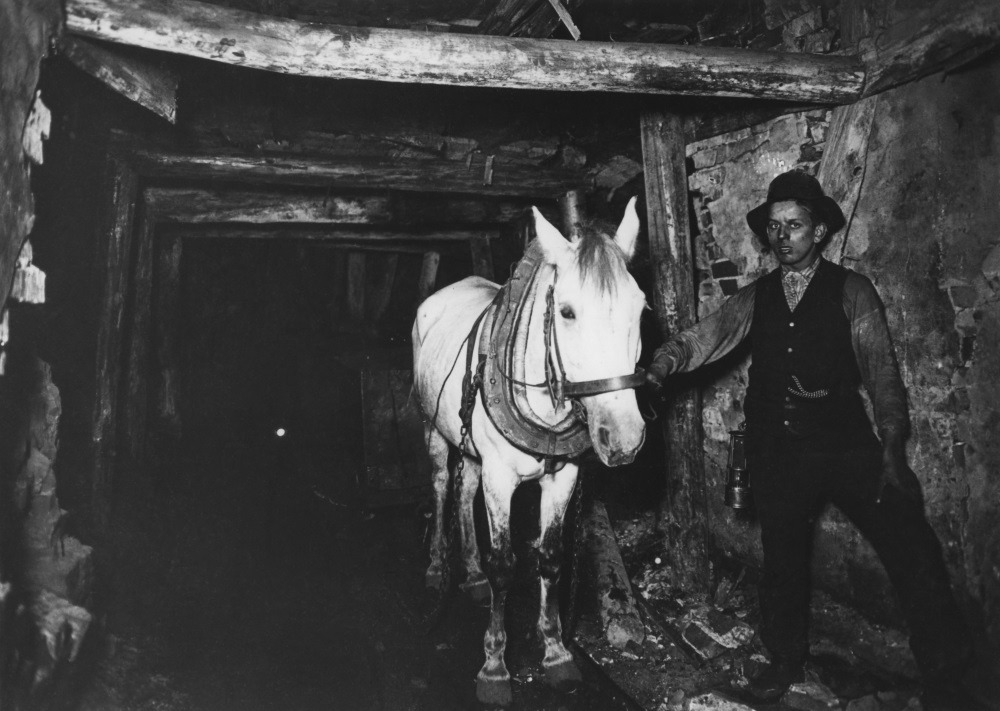
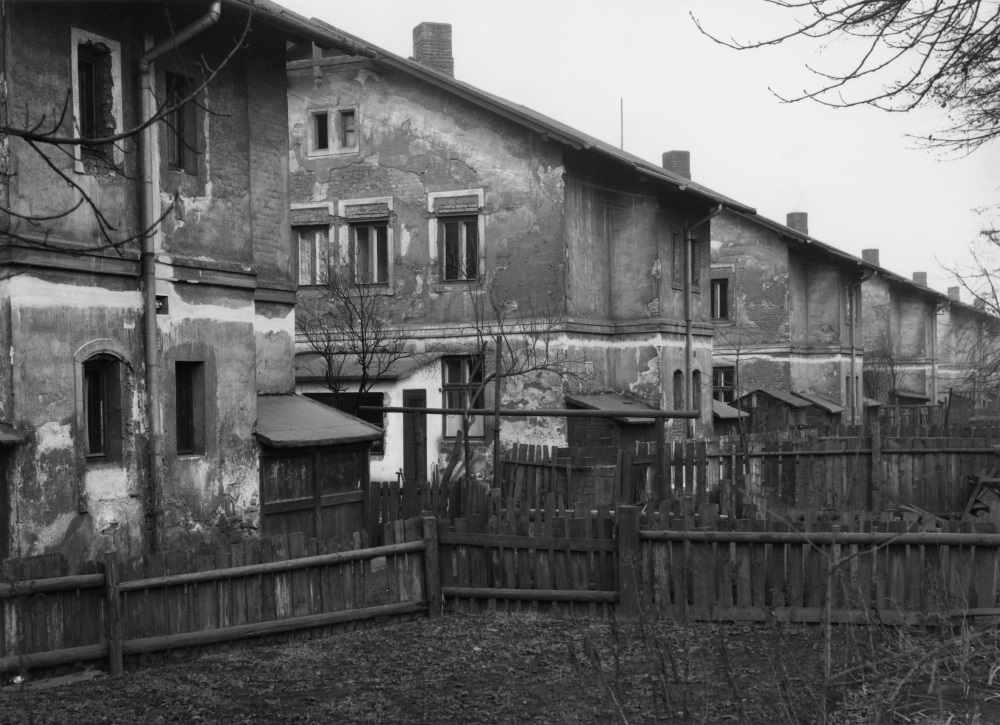
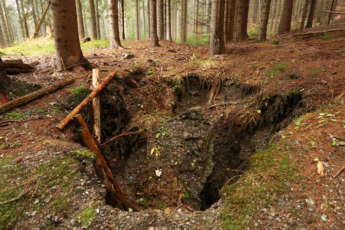
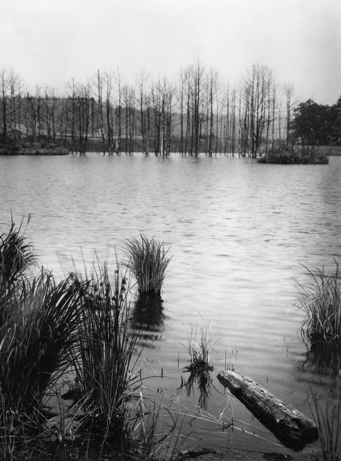
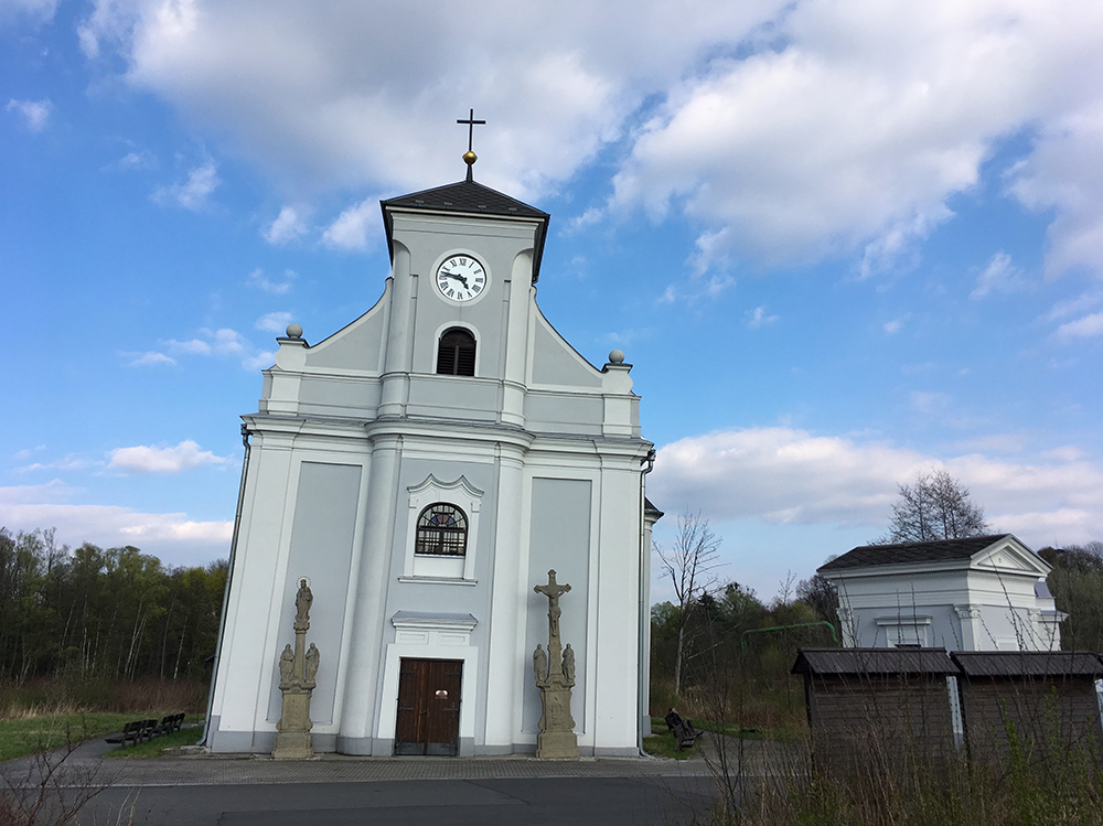
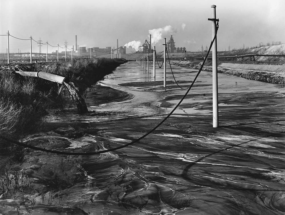
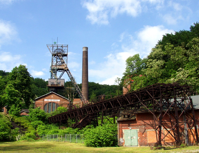
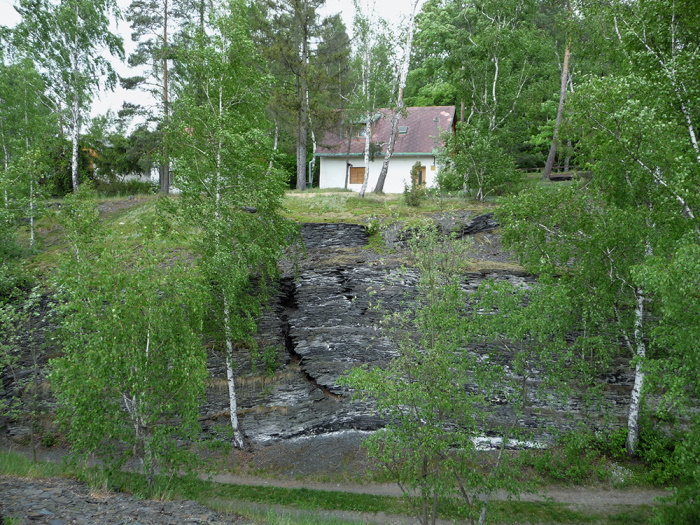
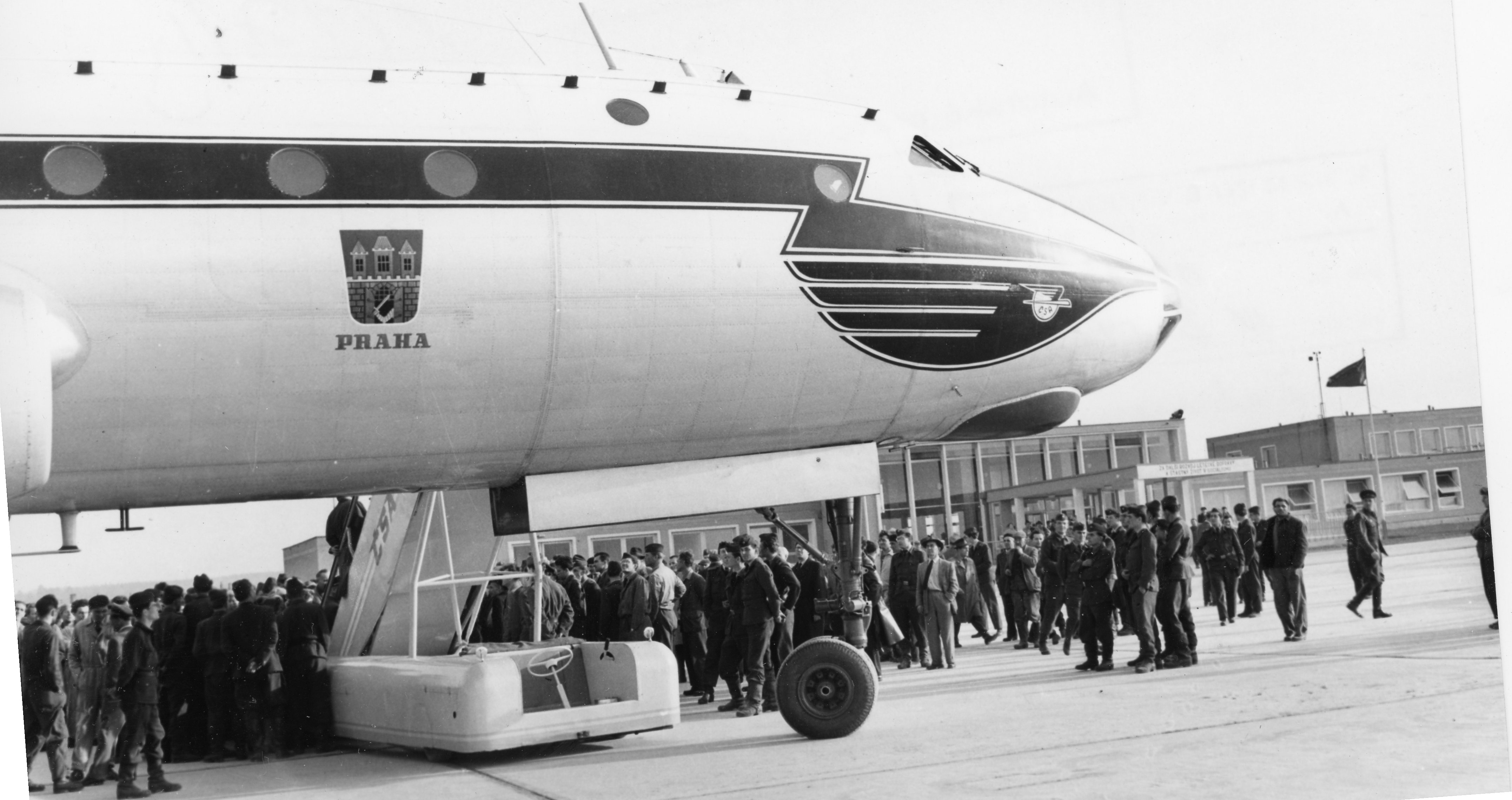
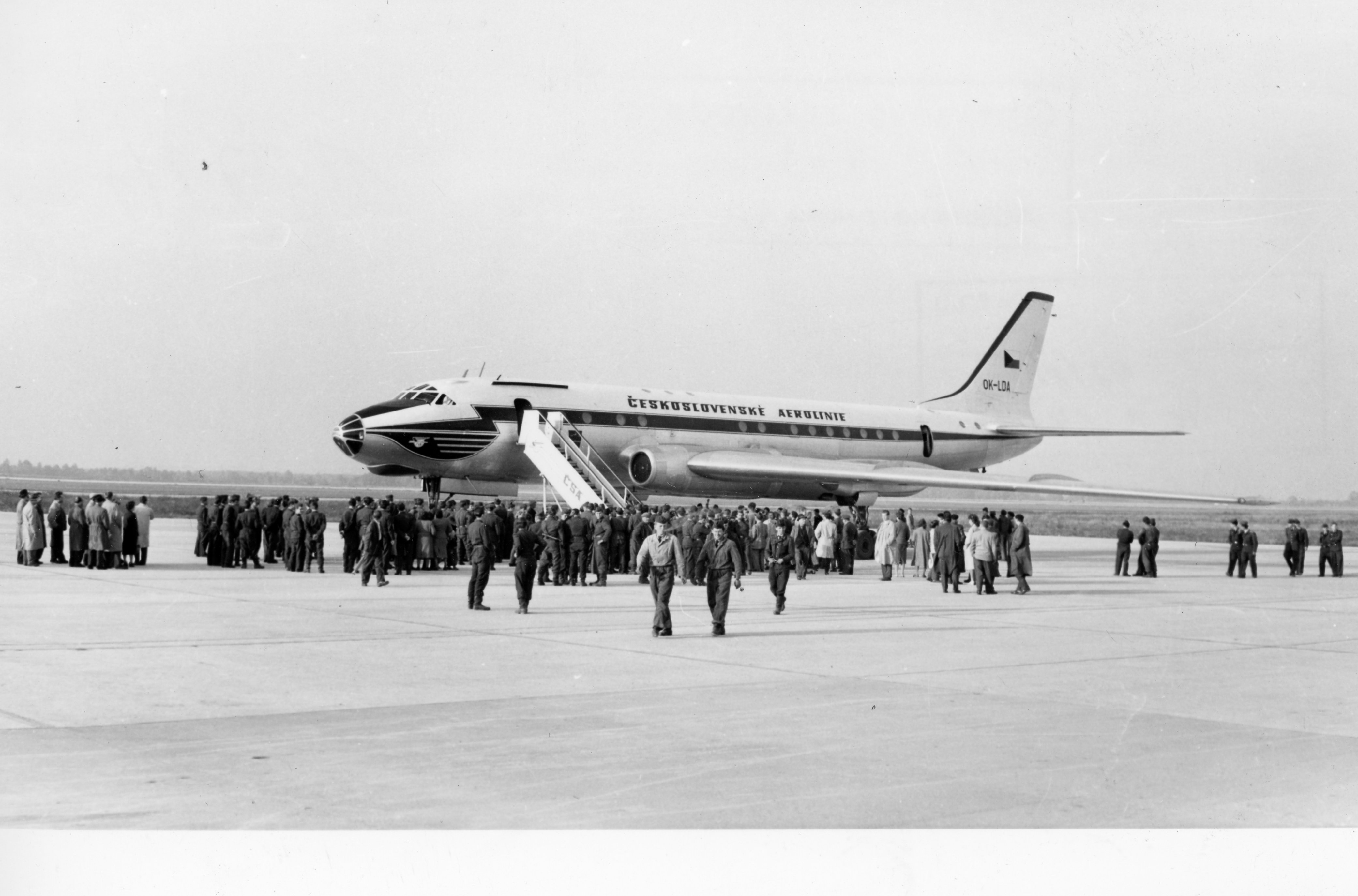
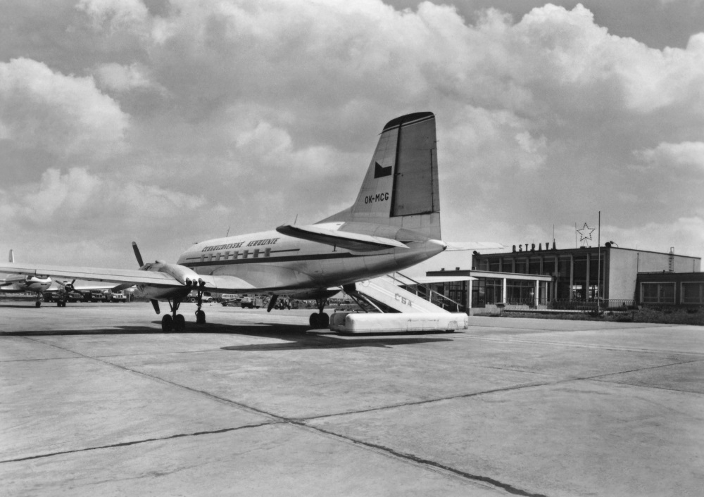
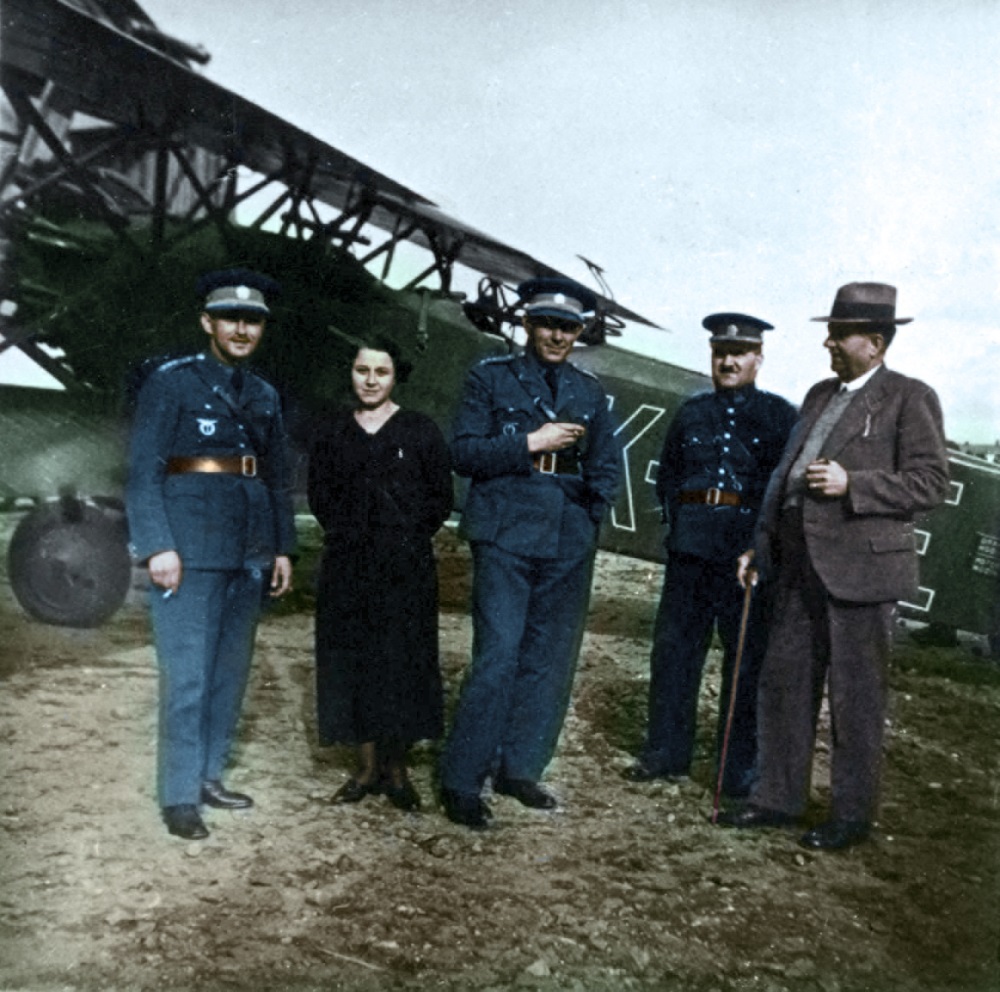
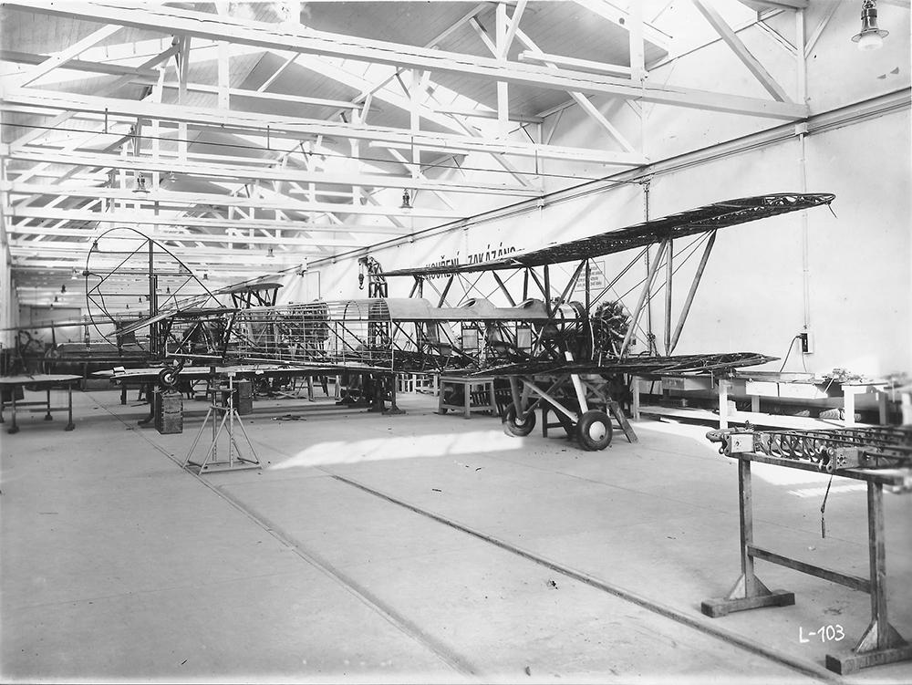
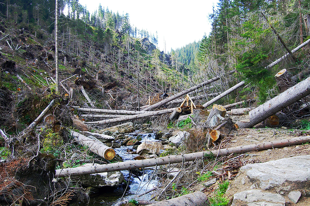
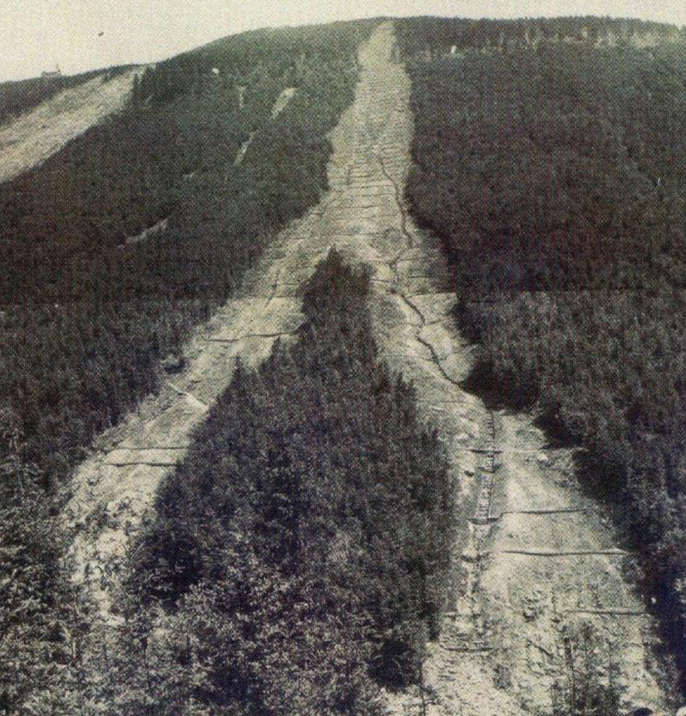
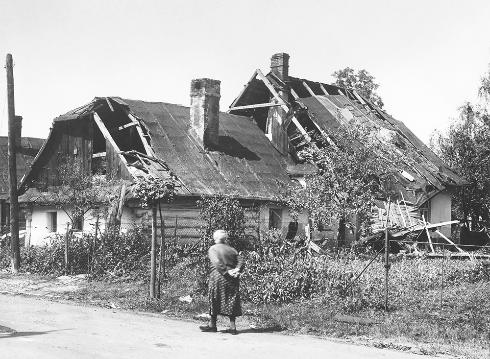
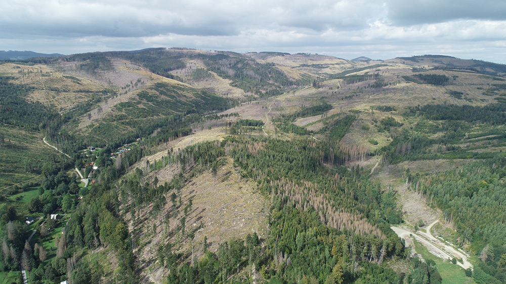
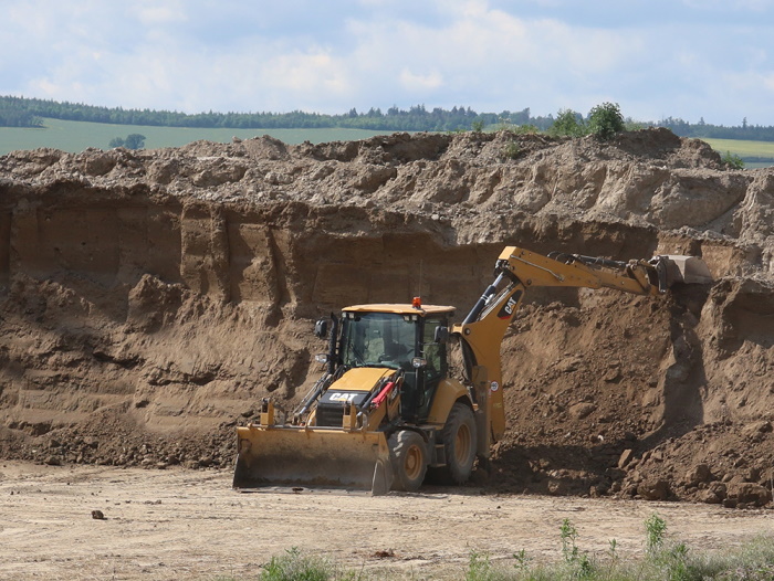
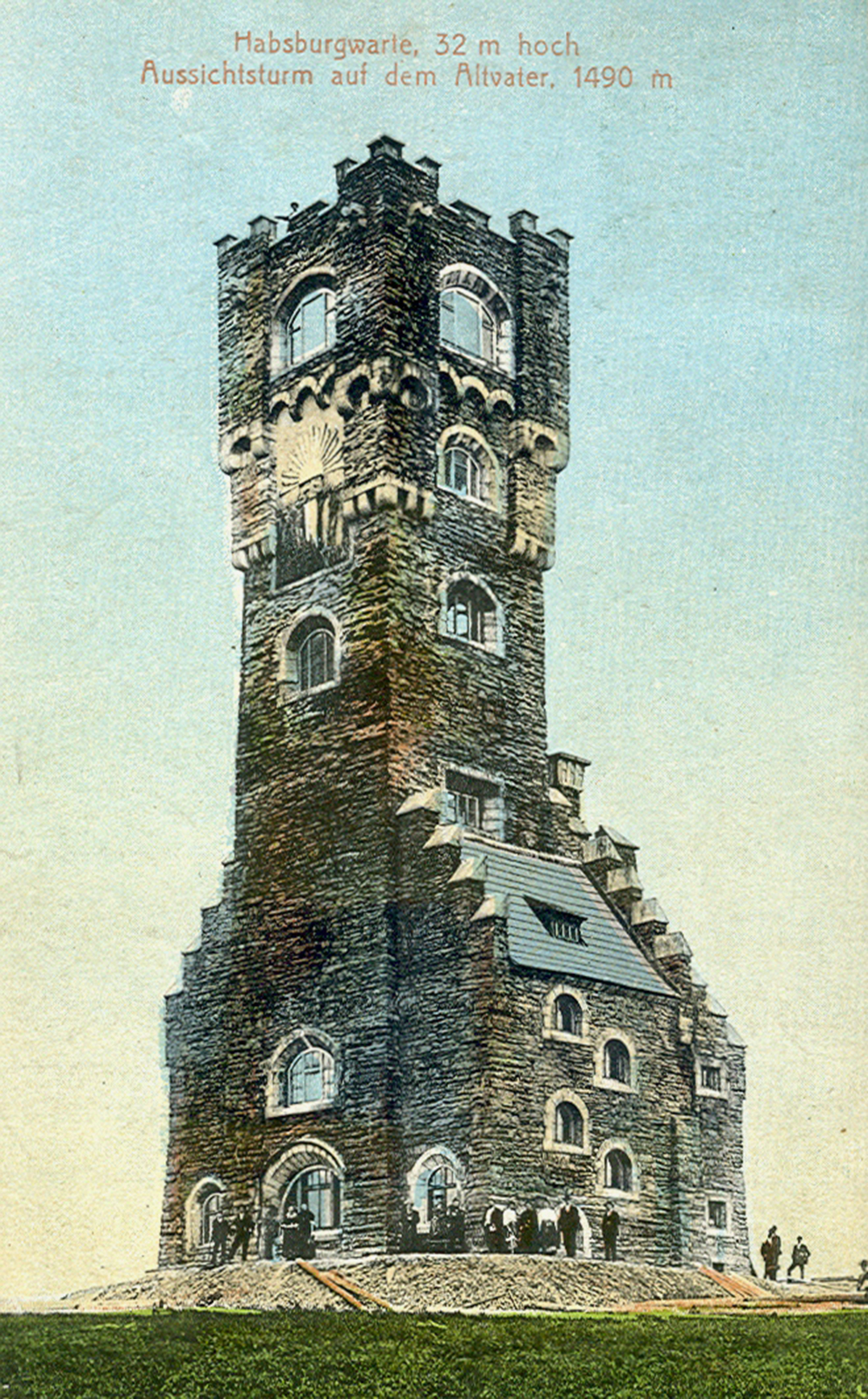
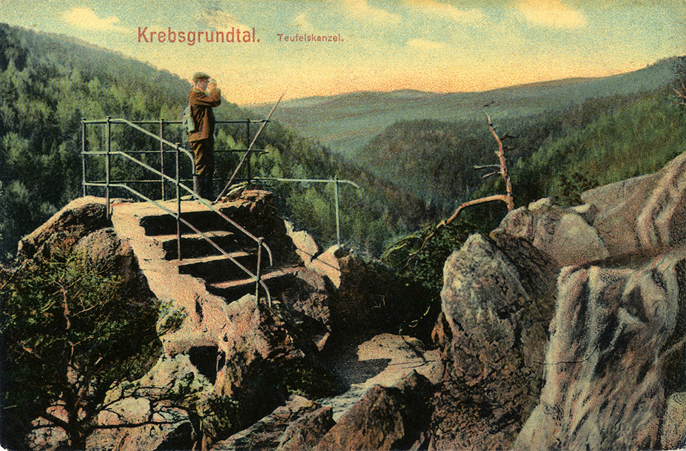
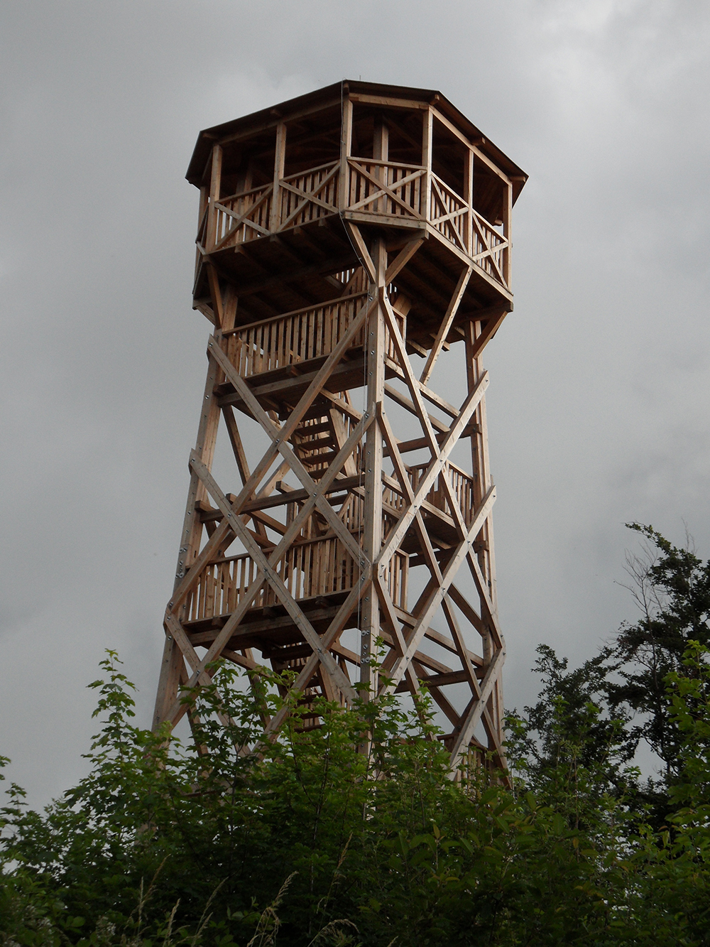
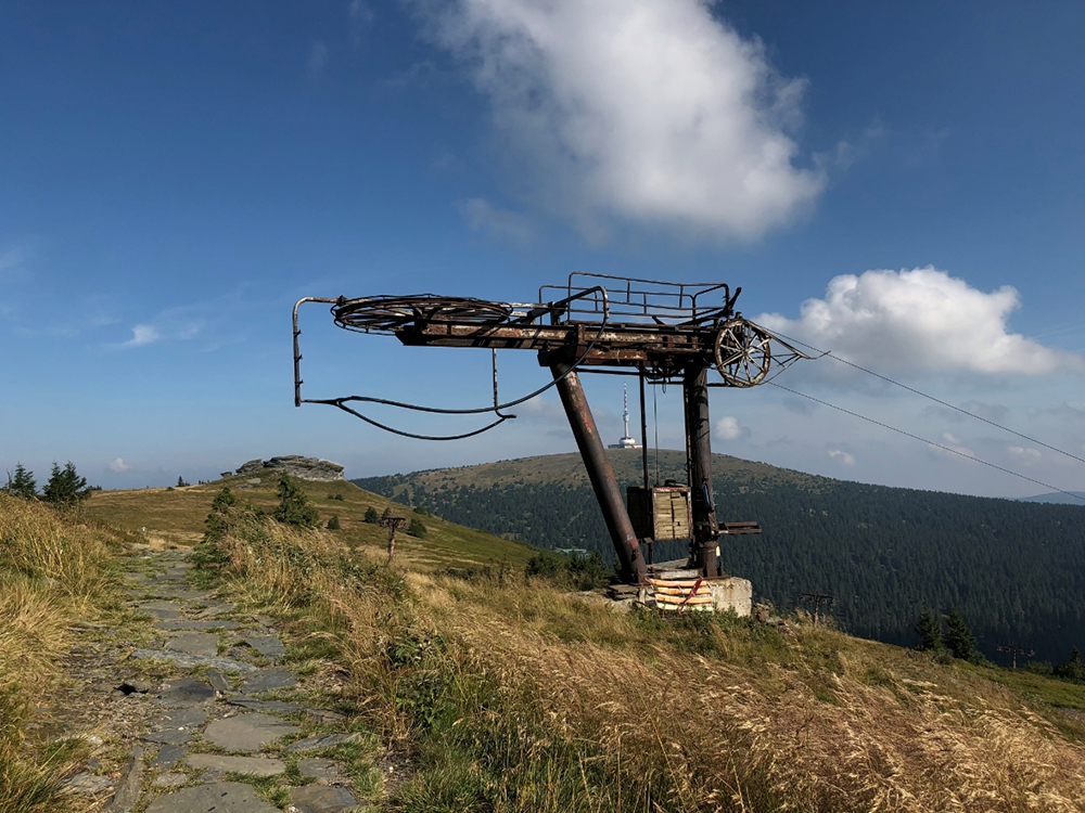
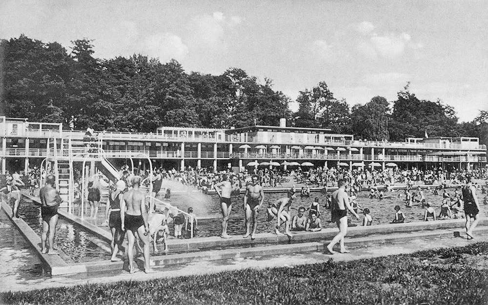
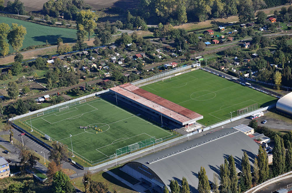
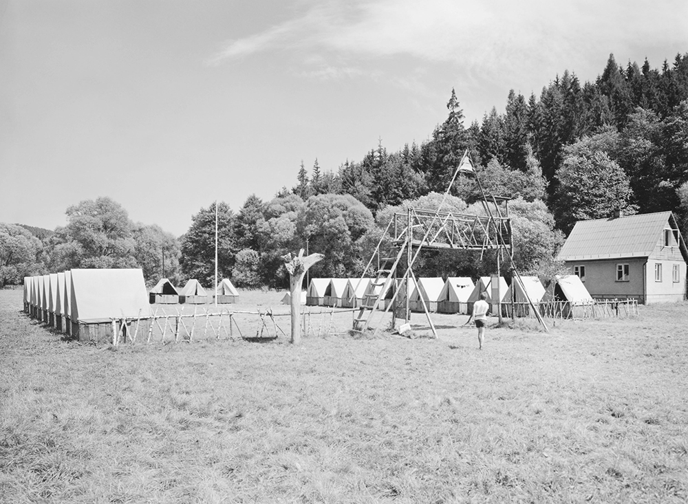
In terms of sex ratio, there is a recurring pattern that more boys are always born than girls, but women live longer. When comparing with age cohorts, there are various anomalies in Silesia, e.g. in the Osoblaha region there is a significantly higher proportion of men aged 15-64 than women. This is due to unfavorable living conditions in rural areas, where men find better employment and women tend to move to cities. This situation further affects the development of the whole territory. Lonely men here often choose to fill their lives by spending their free time together in pubs drinking alcohol. The age structure is also disturbed in smaller municipalities, where a home with seniors is located. Another anomaly is manifested in towns with large residential construction in the 1950s, where a town of the so-called young became the town of seniors (Havířov).
4.7 Population Composition by Religion 1869–1950
During the Austrian monarchy, Czech Silesia was characterized by a more varied religious composition of its population. In addition to a significant majority of Catholics, there was a larger minority of Protestants (13-14%, mostly Lutherans, less Helvetians), and Jewish families were concentrated in some towns. People of no religion were not counted; people of other religions were counted per individual. Moravia was more Catholic with only 2% of evangelicals. The First Republic brought about changes in the national borders. The adjustments were reflected in the religious situation in the slight increase in the number of Catholics from Hlučín and the decrease in the number of Protestants from the eastern part of Těšín. The horrors of the war found expression in the growth of the number of non-religious people, especially in the industrial centers and among the intelligentsia. The new Czechoslovak Church, established in 1920, gained adherents among the Czech population. World War II is associated with the Holocaust of the Jews, followed by the expulsion of the Germans, which led to a significant decrease in the number of Catholics and Protestants, but also an increase in the number of members of the Czechoslovak Church. There were more and more people of other religions at the expense of the proportion of atheists.
Protestants had been allowed to live in Silesia since the Westphalian Peace (1648). Evangelical parishes were concentrated mainly in the districts of Bílsko and Těšín; the town of Těšín was an important center, where the proportion of Evangelicals rose to 42 % at the beginning of the 20th century. As many as 46 % of the Protestants were present in the judicial district of Jablunkov, over 30 % in Frýdek. The Protestant settlement zone extended further in the Skočov and Bílsko judicial districts. In Moravia, these believers mainly lived in the judicial district of Fulnek and Nový Jičín. Jews were gradually expelled from Silesia in the 16th century, and 119 tolerated Jewish families were allowed to stay in Austrian Silesia until 1752. The full development of life occurred from the second half of the 19th century. Religious communities were established in Opava, Krnov, Těšín, Ostrava (for Moravian and Silesian Jews from nearby settlements), similarly in Frýdek and Místek. Religious associations were established in Jeseník, Vidnava, Bruntál, the Town of Albrechtice, Jablunkov and Příbor. A long continuity was evidenced by the religious community in Osoblaga.
The First Republic was associated with a number of changes in the position of churches in the public and private spheres. There was a significant increase in the number of so-called matrilineal Catholics, no longer practicing the faith, and a similar tendency developing among the followers of Judaism. Crosses disappeared from schools and classes no longer began and ended with prayer. According to the so-called Small Schools Act of 1922, religious instruction was compulsory in schools for children whose parents were members of state-recognized churches. Some liberalization took place in the field of marital law – the divorce and separation of marriages were still allowed, along with civil marriages. The Catholic Church had to allow burials by burning. In December 1918, Czech Protestants united the Augsburg (Lutheran) and Helvetic (Calvinist) denominations into one Czech Brethren Evangelical Church, which wanted to build on its national heritage. German Protestants formed the independent German Protestant Church in Bohemia, Moravia and Silesia in 1919 on the basis of Lutheranism. As a result of the border shift, the share of Protestants in the traditional centers on the Czech side increased, especially in the judicial district of Jablunkov and Český Těšín, but also in Albrechtice, Krnov, Bohumín, Frýdek, Fryštát and Vítkov. There were more Protestants in Jablunkovsk than Catholics. The Moravian choirs were preserved. The new Church of Czechoslovakia was spreading in the monitored territory, the centers of which became the industrial Bohumín region with almost 10% of the population, especially the mining court district of Silesian Ostrava, where 27% of the population was in this church, several thousand were in Frýdek, Fryštát, hundreds in Příbor, Opava, Klimkovice, a total of over 25,500 people.
The largest concentration of non-religious people was formed in the districts of Moravská and Slezská Ostrava (7-8%), which represented the epicenter of the entire Ostrava-Karviná agglomeration; many educational, administrative and cultural institutions were located here, and there was also a large concentration of workers. About 2 % of non-religious people were present in the Bohumín region, Český Těšín and Klimkovice regions. Moravská Ostrava became the most important center of Judaism, where the third largest Jewish religious community in the Czech lands functioned, organizing a number of national events as well as the World Zionist Congress.
After World War II, we encounter a noticeable decline of Catholics throughout the territory, most of all in the Ostrava and Karviná regions, where just over 70 % of the population was Catholic. Hloučín remained the most Catholic region, with 98 % of church members. Less than 50 % of Catholics were traditionally located in Czechoslovakia, which remained the main center of Protestants (47 %). More Protestants also lived in Karviná (14 %), Novojice (7.2 %), Vítkov (6.6 %), around 5 % were recorded in Bruntál, Krnov, Jesenice, Rýmařov, and overall there was a significant decline of Protestants (from 123,866 to 88,829). On the other hand, there was an influx of new members to the Church of Czechoslovakia, most of them in Ostrava (17.3 %), over 7 % in Karviná, Jesenice, Krnovo, Bruntál, and less in Bílovec. Surprisingly, the number of non-religious individuals decreased, perhaps as a result of the expulsion of the Germans and the extermination of the Jews, but over 5 % remained in Ostrava, around 3 % in Bílovec and Krnov, and in all other administrative units atheists were represented by 1.2 – 2.5 %. The members of other churches, such as the Orthodox, were increasing. It is impossible to deduce from the statistics how the new regime associated with the February 1948 coup and the victory of the communists, which was rigidly atheistic, “worked” on this situation.
Graf 4.16: Development of believers by religion in Austrian/Czech Silesia (1869–2011)
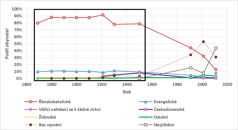
Click on the image to enlarge..
After World War II, we encounter a noticeable decline of Catholics throughout the territory, most of all in the Ostrava and Karviná regions, where just over 70 % of the population was Catholic. Hloučín remained the most Catholic region, with 98 % of church members. Less than 50 % of Catholics were traditionally located in Czechoslovakia, which remained the main center of Protestants (47 %). More Protestants also lived in Karviná (14 %), Novojice (7.2 %), Vítkov (6.6 %), around 5 % were recorded in Bruntál, Krnov, Jesenice, Rýmařov, and overall there was a significant decline of Protestants (from 123,866 to 88,829). On the other hand, there was an influx of new members to the Church of Czechoslovakia, most of them in Ostrava (17.3 %), over 7 % in Karviná, Jesenice, Krnovo, Bruntál, and less in Bílovec. Surprisingly, the number of non-religious individuals decreased, perhaps as a result of the expulsion of the Germans and the extermination of the Jews, but over 5 % remained in Ostrava, around 3 % in Bílovec and Krnov, and in all other administrative units atheists were represented by 1.2 – 2.5 %. The members of other churches, such as the Orthodox, were increasing. It is impossible to deduce from the statistics how the new regime associated with the February 1948 coup and the victory of the communists, which was rigidly atheistic, “worked” on this situation.
4.8 Population Composition by Religion 1991–2011
In order to assess the composition of the population according to religion, it is important to bear in mind that with the development of a democratic society, there was a gradual increase in religious pluralism. Between 1991 and 2021, the number of churches and religious societies registered with the Ministry of Culture of the Czech Republic increased from 19 to 42 in 2021 (or 32 in 2011 at SLDB). A modern phenomenon in society is the deinstitutionalization of religion. People consider themselves religious Catholics, but they are not members of the Roman Catholic Church. In general, there are a third of the faithful in the Czech Republic who do not follow a particular religion.
Sociological research proves that in Czech society a traditional faith in God is not very widespread at present. This does not mean, however, that the Czechs are completely atheists, as some researches claim in the superficial interpretation of data. Belief in the supernatural and religious phenomena is both common and quite popular in Czech society. Most people have no problem believing in the abilities of mystics, diviners and healers, or in the effects of amulets and horoscopes. People commonly believe that some healers have healing abilities from God, and that less than 50 % of respondents representing the adult population in the Czech Republic as part of the ISSP survey from 2008 (Hamplová, 2010).
The Roman Catholic Church is the largest religious organization in the Czech Republic, which, according to SLDB in 2011 was over 1 million faithful. The second most numerous is the Evangelical Church of Czech Brethren (51,858 people) and the third Hussite Church of Czechoslovakia (39,229). All of these churches have been in decline since 1991, one of the reasons being the relatively older members of these three churches. On the contrary, smaller evangelical and charismatic churches (e.g., Unity of the Brethren, Church of the Brethren, and Apostolic Churches) having a more favorable age structure and seeing an increase in membership. Churches, when reporting their members, also have significantly different data in their registers.
Despite the identified decline in the number of believers who have formally declared an institutionalized or non-institutionalized faith, representative sociological surveys indicate a relative stagnation in the proportion of respondents attending religious services at least once a month from 1993 to 2008, at around 10 %. This indicator is generally considered to be a more accurate indicator of religiosity, despite some limitations due to the fact that some churches place less emphasis on attendance of masses. (Hamplová, 2010).
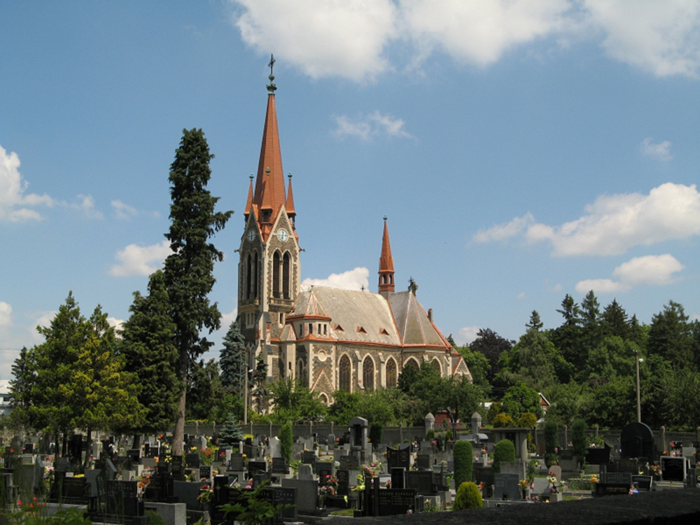
Despite the above interpretation problems, it is appropriate to examine the spatial differences on the basis of the SLDB data from 2011, where the following facts were identified in the territory of Czech Silesia:
The highest proportions of persons without faith were identified in Jesenice (both subregions above 35 %) and Ostrava (32.6 %).
The highest concentration of believers is in Hlučín (47.1 %), Opava (27.3 %) and Těšín Silesia (29.0 % of thr faithful are mainly in the Jablunkov area), these areas characterized by the highest proportion of native inhabitants.
The largest proportion of believers of the Roman Catholic faith is in the villages in the Hlučín and Jablunkov regions (about 70-90 %), in the villages in the Opava and Moravian regions this proportion is mostly between 50-70 %.
A higher proportion of believers who do not identify with any church is concentrated in Jesenice (in some municipalities more than 40%), while in the municipalities of Ostrava, Karviná and the Moravian regions this proportion is most often between 30-40 %.
Members of the Silesian Evangelical Church of Augsburg are a specific case, concentrated almost exclusively in the Czech Republic in the municipalities of Třinec and Těšín, their share being roughly between 10-40 %. It is the largest Lutheran church in the Czech Republic. This church brings together the faithful of Czech and Polish nationality.
Tab. 4. 4: Share of non-faithful and faithful in the subregions of Czech Silesia in 2011. Source: ČSÚ, SLDB 2011

Click on the image to enlarge..
Chart 4.17: Development of the faithful by denomination in Austrian/Czech Silesia (1869-2011). Source: the Czech Statistical Office (2019), Historical Lexicon of Municipalities, Current Population Register, Österreichische Nationalbibliothek, Censuses of 1869, 1880, 1890, 1900 and 1910
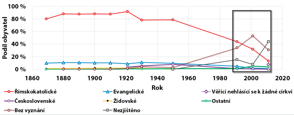
Click on the image to enlarge..
The highest proportions of persons without faith were identified in Jesenice (both subregions above 35 %) and Ostrava (32.6 %).
The highest concentration of believers is in Hlučín (47.1 %), Opava (27.3 %) and Těšín Silesia (29.0 % of thr faithful are mainly in the Jablunkov area), these areas characterized by the highest proportion of native inhabitants.
The largest proportion of believers of the Roman Catholic faith is in the villages in the Hlučín and Jablunkov regions (about 70-90 %), in the villages in the Opava and Moravian regions this proportion is mostly between 50-70 %.
A higher proportion of believers who do not identify with any church is concentrated in Jesenice (in some municipalities more than 40%), while in the municipalities of Ostrava, Karviná and the Moravian regions this proportion is most often between 30-40 %.
Members of the Silesian Evangelical Church of Augsburg are a specific case, concentrated almost exclusively in the Czech Republic in the municipalities of Třinec and Těšín, their share being roughly between 10-40 %. It is the largest Lutheran church in the Czech Republic. This church brings together the faithful of Czech and Polish nationality.
4.9 Population by Language 1880-1910
Three ethnic groups were significantly represented in Austrian Silesia. According to the 1880 census, almost half of the population was German (48.9 %), with a dominant position in western Silesia and in many towns, 28.1 % were Polish, and the smallest proportion – 23 % - was Czech, mainly in the Frýdek, Místek and Bílovec regions. By 1910, there was no major change, the proportion of those who subscribed to German (43.9 %) had decreased somewhat, mainly in favor of the Polish population (31.7 %) and partly also the Czech population (24.3 %). The national composition was most complex in the Těšín district, where the so-called Šlonzák movement contributed to this.
If we look at the development in individual parts of the region, the least changes until World War I can be found in western Silesia, in the districts of Jeseník, Bruntál and Krnov, where only individuals in the Krnov region, and most often in the Krnov region, stably claimed to speak a language other than German. The situation was somewhat different in the neighboring Opava region, where the Czech population initially outnumbered the German population by a few percentage points, with the proportion gradually increasing. After the division of the Bílovec region as a separate political district, it was clear that this part of the region had a two-thirds majority of the Czech population. However, the situation was different in the capital of Austrian Silesia - Opava, the seat of the provincial administration, many offices, schools and associations, where Germans were in a clear majority, with only about one in ten people registered in Czech and one in twenty in Polish. In subsequent censuses, the proportion of those registered in the German language increased, while the proportion of those registered in the Czech language decreased, and by World War I the Polish language had almost completely disappeared.
The population of the Moravian district of Nový Jičín had a mixed character. The German population maintained a slight predominance until the war, mainly thanks to the German-speaking population of Fulneck and the towns (Nový Jičín, Fulnek), while the Příbor region was predominantly Czech. Although the proportion of German language learners was slightly decreasing, they prevailed throughout the whole period (1880: 57.1 %).(: 42.8 %; 1910 53.0 % : 46.8 %)
The highest proportion of the Czech population was in the Místek region (1880 = 88.7 %); at first the proportion slightly decreased, but the establishment of the independent political district of Moravská Ostrava showed that this was due to the development in this most industrialized part of the region. If in the Místek region 93.2 % of the inhabitants declared themselves to speak Czech in the pre-WWII census, the situation was much more difficult in the Moravian-Ostrava region, where, mainly as a result of immigration, but also as a result of Germanization carried out in. With the opening of some plants, e.g. Vítkovice Ironworks, the share of German ethnics increased to almost two-fifths and that of Poles to more than a tenth. Next to Místek, the Czech population in Frýdek had the strongest position. In the Frýdek judicial district in 1880 its share reached 97.5 %. After the establishment of an independent political district, which also included the heavily immigration-affected mountain villages around the then Polish (Silesian) Ostrava, the Czech population declined in favor of Germans (1910 = 7 %) and mainly Poles (1910 = 14.8 %). However, Germanization hit the state town of Frýdek the hardest, where in 1880 four-fifths of the population still claimed to be Czech and only less than one-twentieth German, but the proportion of Czechs was decreasing all the time and before the war their representation was only two-fifths.
Fryštát was completely dominated by a Slavic-speaking population with more than half of Poles and more than a third of Czechs. Particularly at the end of the 19th century, this mining area was affected by immigration, especially from Halych, but also by the strengthening of the Polish national movement, so that the Polish population grew to a two-thirds majority before the war, while only one in four of the inhabitants claimed to be Czech.
The ethnic composition in the Těšín district was the most complicated, also due to the nationality of the local population. In the census of 1880, the more than half majority of the Polish ethnic group (52.9 %) gradually increased to three-quarters of the total in 1910 (76.8 %), and the proportion of Germans also increased; the so-called Šlonzák movement led by Josef Koždon contributed to this, combining the idea of Silesian nationality with a tendency toward Germanness. The proportion of Czechs decreased proportionally (from 39.1 to only 6.2 %), but this was mainly due to the division of the Frýdek judicial district at the beginning of the 20th century. The highest representation of the Polish ethnic group is found in the district of Bílsko (83.5 % in 1880), in contrast to the statutory town of Bílsko, which presented itself as a German town with a relatively small - only 15 % - Polish minority.
The ethnic development of Austrian Silesia and the northern Moravian Wedge encompassed by it in the last decades of the 19th and early 20th centuries is characterized by the dominance of the German ethnic group in the west and the Slavic ethnic group in the east, with significant changes in the industrialized Ostrava-Karviná area.
Chart 4.18: Population development by language of residence in Austrian Silesia (1869-1910). Source: 1869, 1880, 1890, 1900 and 1910 censuses
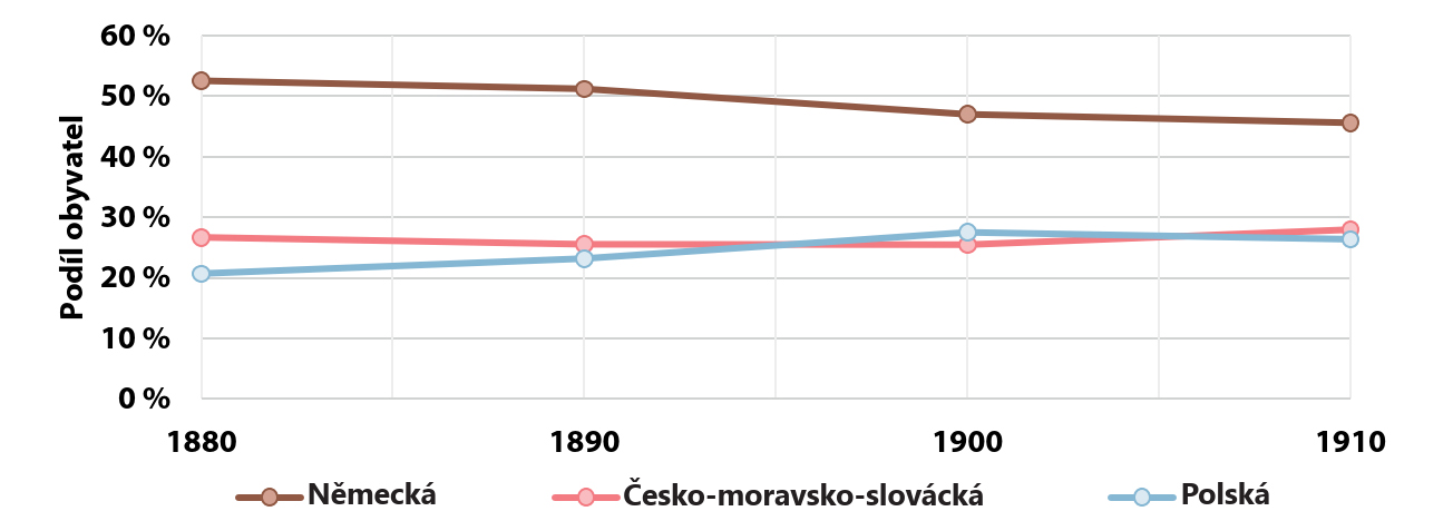
Click on the image to enlarge..
The ethnic composition in the Těšín district was the most complicated, also due to the nationality of the local population. In the census of 1880, the more than half majority of the Polish ethnic group (52.9 %) gradually increased to three-quarters of the total in 1910 (76.8 %), and the proportion of Germans also increased; the so-called Šlonzák movement led by Josef Koždon contributed to this, combining the idea of Silesian nationality with a tendency toward Germanness. The proportion of Czechs decreased proportionally (from 39.1 to only 6.2 %), but this was mainly due to the division of the Frýdek judicial district at the beginning of the 20th century. The highest representation of the Polish ethnic group is found in the district of Bílsko (83.5 % in 1880), in contrast to the statutory town of Bílsko, which presented itself as a German town with a relatively small - only 15 % - Polish minority.
The ethnic development of Austrian Silesia and the northern Moravian Wedge encompassed by it in the last decades of the 19th and early 20th centuries is characterized by the dominance of the German ethnic group in the west and the Slavic ethnic group in the east, with significant changes in the industrialized Ostrava-Karviná area.
4.10 Population Composition by Language in Silesia 1910
After World War I and the establishment of Czechoslovakia, when the question of determining the state borders between Czechoslovakia and Poland in Těšín (more precisely Těšín Silesia, in German Teschener Schlesien , pol. Śląsk Cieszyński), the representatives of German political parties and groups from Těšín and the neighboring Ostrava region drew up a comprehensive memorandum in which they addressed the conference with a proposal that Těšín be made a neutral state, administered under international supervision. The memorandum also included a clear map (Karte der Bevölkerung des ostmährisch-schlesien Industriegebiete), which illustrated the extremely complex linguistic and national conditions that had developed in this part of Austrian Silesia before World War I.
The Austrian data on the languages of residence from 1910 should not be confused with data on the actual national orientation of the census takers. A significant part of the then inhabitants of Těšín was ethnically indifferent. We should ask, for example, whether we should also consider the numerous supporters of the Silesian Land Movement as Poles (the proportions of the movement's supporters in the population of each Těšín municipality are shown in the form of yellow lines in the circular diagrams on the map). Silesians mostly spoke a mixed Těšín dialect with a predominance of Polish linguistic elements and were therefore usually recorded as using the Polish dialect. However, they did not consider themselves Polish. They stressed that their families often lived in the Těšín part of Silesia for generations. They saw real Poles in the crowds of poor Polish immigrants who, before World War I, came to the industrialized villages of Těšín, where they found employment in hastily opened new coal mines, steelworks and engineering plants.
Migration has taken on dimensions that are hard to imagine today. Of the 427,000 people present in 1910, more than 101,000, i.e. 27.3 %, had no recognized home citizenship within the original provincial boundaries of Těšín. The census gave the Silesians the truth that Poles, mostly from neighboring Halych, were indeed predominant among the migrants. However, Czechs, Slovaks, Jews and, in no small number, Germans also went to Těšín and to Moravian Ostrava and other North Moravian municipalities. Austrian statisticians documented the territorial origin of the immigrants according to the predominant languages of the home communities from which they came. In the three industrialized districts that were most affected by migration before World War I (the two Silesian districts of Fryštát and Frýdek and the Moravian Ostrava district), 332,000 people were already living in 1910. However, not even half of them had a recognized home nationality. In contrast, in the Galician and Silesian districts with a predominantly Polish population (e.g. Biała, Bochnia, Chrzanów, Wadowice and Wieliczka), 25.7 % had domestic citizenship, while in the Moravian districts, only 166,000, i.e. 49.9 %, had domestic citizenship. districts with a predominantly Czech language of communication 12.9 % and finally in Moravian, Silesian or Halych districts with a predominantly German language 10.6 % of those present.
Comparison of the results of the 1910 census with the 1880 census indicates the basic tendency in the development of the population of Těšín in the period under study. The steady increase in the population of this crown land was largely due to immigration to industrialized villages. This was reflected in a dramatic increase in population density and, at the same time, in dramatic changes in the social and linguistic composition of the population of Těšín. While the number of people using the Czech language in Těšín decreased, the number of those using German or Polish increased. The results for the largest Town of the region - Těšín - are an example. In 1880 there were 12,294 people living there, 49.6 % of whom used German, 36.6 % Polish and 13.9% Czech. In 1910, the number was already 21,850, of whom 60.7 % used German, 31.3 % Polish and only 6.5 % Czech.
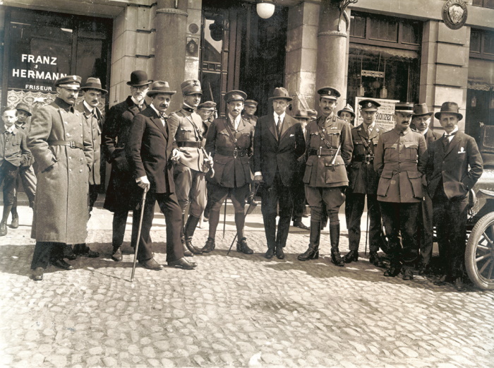
The Conference did not deal with the memorandum of the German parties. Although in the case of Těšín, it was de jure Czech or Czechoslovak territory, the Poles of Těšín had been seeking its annexation to Polish territory since the end of 1918. At the Paris Peace Conference, there was a long discussion about the new state border between Czechoslovakia and Poland. Czechoslovak diplomacy argued based on state-legal, economic and especially transport grounds. At the same time, however, it successfully managed to challenge Poland's mainly ethnographic argumentation, based on the claim of the indisputable predominance of the Polish population in most of the Těšín territory. An international commission arrived in Těšín from Paris to prepare the conditions for a local popular vote, a plebiscite. On 28 July 1920, the Paris conference divided the disputed territory between Poland and the Czechoslovakia by the state borders that are still in force today. In addition to Těšín, the peace conference also decided on the state borders of the Czechoslovakia and Poland in two other disputed border areas in northern Slovakia. Before the international commission left Těšín, on 10 August 1920, it ceremonially handed over the administration of the conceded parts of Těšín, Orava, and Spiš to the Czechoslovak and Polish authorities in Těšín Square.
4.11 Nationality of the Population 1918-1991
The First Republic continuously built on its Austrian heritage in the linguistic and ethnic composition of its population. World War II brought, in addition to the extermination of Jews and Roma, the Germanization of the population, emigration, and participation in the German army in Hlučín and Těšín. After the war, the Germans were expelled, which led to a complete dissettlement in western Silesia and its gradual healing through immigration from the interior of the state. The so-called socialist industrialization of Ostrava and Karviná was the cause of intensive immigration of Slovaks. The period after 1989 brought new, not very happy, elements to the census practice of the state by introducing the categories of Silesian and Moravian nationality.
When comparing the situation at the end of the existence of the Austro-Hungarian Empire (census of 1910) with the situation in the new state (census of 1921), we find that in Czech Silesia the number of Germans, Czechs and Poles was increasing, with Germans predominating (46 %), Czechs and Poles having almost the same proportions (Czechs 28 %, Poles 26 %). The First Republic changed its dominance - 48.4 % of the population registered their Czechoslovak nationality in the census, while the number of Germans decreased slightly, but their share fell to 39.1 %. The greatest change took place in the case of the Poles, among whom there were also a number of the Halychans who declared a new nationality, many of whom left for their homeland, others did not acquire a new nationality and were registered as foreigners, which in total led to a noticeable decline and the emergence of a minority represented by only 11.8% of the population. Less than one per cent represented other nationalities. Jews became predominantly an urban population with a tendency to migrate to the towns and go abroad. Towns with a larger Jewish community included Český Těšín, Nový Bohumín, Fryštát, and Moravská Ostrava.
The long-standing, centuries-long predominance of Germans in western Silesia, where they accounted for up to 97.8 % of the population, remained, with Czechs making up 1.6 % (Jeseník, Bruntál, Krnov districts). In the Opava region there was a slight predominance of the German ethnic group over the Czech ethnic group (51.2 % Germans, 48.6 % Czechs). In all other Silesian districts and in northeastern Moravia, the Czech population was predominant, with the German minority accounting for a share ranging from 5.3 % in Frýdek to 31.7 % in Bílovec. Poles were concentrated in the Bohemia region. The largest concentration was in the Český Těšín district, where they were the majority, elsewhere only a minority of varying numbers. Russians and Belarusians, Hungarians and Slovaks were also present in small numbers. By 1930, the number and proportion of Czechoslovak nationality had increased, while the German nationality remained unchanged in number, and the Polish nationality showed a slight increase.
During World War II, the population was significantly Germanized and depopulated, and the genocide of Jews and Roma took place. The impact on Silesia was more devastating than in Bohemia and Moravia. After the war, the problem of German nationals (during the war men became Wehrmacht soldiers) in Hlučín and holders of the so-called Volkslist in Těšín was resolved in a compromise. The post-war expulsion of Germans led to the disruption of the existing national composition of the region, and western Silesia was gradually settled by Czechs from the interior. During the so-called socialist industrialization, the immigration of Slovaks and Roma increased, especially to Ostrava and Karviná. The 1950 census registered the deepest and most fundamental structural transformation of national and linguistic conditions in the Czechoslovakia ever. The share of the Czech population in Silesia rose to 86.3 %, while the German population was reduced to 1.1 % as a result of the expulsion. The Polish ethnic group declined significantly to 7.9 %. A new, growing element was the dynamic immigration of Slovaks, who constituted a minority of 30 000 people.
Chart 4.19: Population development by nationality in Czech Silesia (1921-1991). Source: 1869, 1880, 1890, 1900 and 1910 censuses
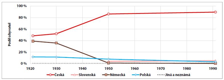
Click on the image to enlarge..
The change of the political regime after 1989 was not very happily reflected in the census practice of the state, which introduced new sections in the 1991 census - Moravian and Silesian nationality. There were also administrative and administrative changes that made it impossible to compare smaller territorial units and the population living in them. Therefore, only the basic development trends can be mentioned. The Czech population continued to grow to a share of almost 90 %, the Polish minority was reduced in number and share to 3.2 %, while the representation of Slovaks grew quite dynamically (5.2 %). The German minority almost disappeared, constituting less than half a percent of the population, while other nationalities accounted for 1.5 % of the total.
The change of the political regime after 1989 was not very happily reflected in the census practice of the state, which introduced new sections in the 1991 census - Moravian and Silesian nationality. There were also administrative and administrative changes that made it impossible to compare smaller territorial units and the population living in them. Therefore, only the basic development trends can be mentioned. The Czech population continued to grow to a share of almost 90 %, the Polish minority was reduced in number and share to 3.2 %, while the representation of Slovaks grew quite dynamically (5.2 %). The German minority almost disappeared, constituting less than half a percent of the population, while other nationalities accounted for 1.5 % of the total.
4.12 Immigration Trends Between 1869 and 1910
At the turn of the 19th and 20th centuries, two directions of migration dominated in Austrian Silesia and Northeast Moravia. Many people from Těšín and Halych migrated to the rapidly developing Ostrava and Fryštát (Karviná) region, while young men from the economically declining districts in the Jeseníky region (Bruntál, Krnov, Jeseník) moved mainly to Lower Austria. A huge influx of Halychans into the mines and smelters occurred in the 1880s and 1890s, so that by 1900 there were 23,127 of them (including children) in the Moravská Ostrava district.
In the other districts, the representation of persons from other countries did not exceed the 10 % threshold and most of them were immigrants from neighboring countries. Even in the Bruntál district, immigrants from Moravia (almost 72 %), with which the Bruntál region was directly adjacent, were completely predominant. In the Jeseník and Krnov districts, on the other hand, immigrants from German countries (mainly Prussian Silesia) predominated. In the Bílsko district, the largest proportion of "foreigners" was again people with a home country of Halych (61.1 %). There was, in short, a natural cross-border movement, which was all the easier because in the case of Moravia and Silesia it was rather a formal border. The situation was somewhat different in the towns, especially in such an important city as Opava, the center of Austrian Silesia. Inhabitants with a home nationality outside Silesia even constituted the majority (54 %). Again, they came mostly from Moravia and German lands. In addition to various merchants, craftsmen, etc., administrative workers came to Opava in considerable numbers.
By 1880 the situation had not changed much, although people from Galicia began to arrive in the mines and smelters in Karviná and Ostrava to a greater extent. They did not outnumber immigrants from Silesia and Moravia, but in the Fryštát district there were already 2,771 of them (people with a home nationality in Halych) and in the Místek district 2,255. The huge influx of Halych immigrants into heavy industry occurred here especially in the 1880s and 1890s, which of course had a great impact on the representation of people with foreign nationality. By 1900, the political district of Moravská Ostrava already existed and there were 23,217 people with home rights to Halych, which was more than the number of people with home rights to Silesia (20,413), although Silesia was not only directly adjacent to the Moravská Ostrava district neighboring, but the district was literally wedged into Silesian territory. The Moravian Ostrava district was then the territory of with the largest representation of people from outside Moravia (59 %). This does not mean that all of them are immigrants. In fact, children of immigrants acquired their birthright from their parents. Yet even the towns of Bílsko, Frýdek and Opava did not have such proportions of "foreigners," Opava even only 28 %. The only district that could compete with a blink of an eye was Fryštát, which had 33 % of the population who had granted homeland rights to a country outside Silesia (44,694 persons), of whom 29,329 were from Halych (65.6 %), and only 8,168 from Moravia (18.3 %).
Moravská Ostrava and Fryštát were districts with major immigration. None of the other political districts of Austrian Silesia and northeastern Moravia could even come close to matching them. On the contrary, a large part of them was rather affected by emigration in this period. This concerned mainly the German-speaking districts of Jeseník, Bruntál and Krnov, from where young men of productive age left mainly for Lower Austria, especially for Vienna. The industrial area of Ostrava and Karviná did not attract them so much, rather people from the foothills of the Beskydy Mountains moved there. More and more people also used shuttle migration, i.e. they commuted to work in industrial plants from their permanent homes outside the core industrial area. However, this only happened as the transport situation improved, especially with the establishment of railway lines.
Immigrants' home nationality. mapsforyoufree
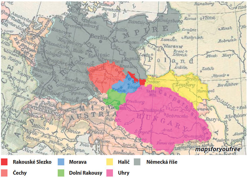
Click on the image to enlarge..
Immigration from Galicia peaked at the beginning of the 20th century (around 1902), and then the influx stopped. The population stabilized, and gradually the Halychans also gained homeland rights to the localities where they settled. Thus, the number of residents with home rule did not rise much by World War I, but rather stagnated. Most of them lived in the Moravská Ostrava district (23,418), then in the newly created Frýdek district (20,071), where the important mining sites of Ostrava (Polská Ostrava, Michálkovice, etc.) were annexed, and fewer in the Fryštát district (15 456), yet this was more than in the Bílsko district (7,394), which was directly adjacent to Halych. If the number of persons with Halychian affiliation increased, it was rather through births - births of new children with homeland rights to Halych from their fathers.
Chart 4.20: Population in the districts of Austrian Silesia by home area (1869-1910). Source: 1869, 1880, 1890, 1900 and 1910 censuses

Click on the image to enlarge..
Immigration from Galicia peaked at the beginning of the 20th century (around 1902), and then the influx stopped. The population stabilized, and gradually the Halychans also gained homeland rights to the localities where they settled. Thus, the number of residents with home rule did not rise much by World War I, but rather stagnated. Most of them lived in the Moravská Ostrava district (23,418), then in the newly created Frýdek district (20,071), where the important mining sites of Ostrava (Polská Ostrava, Michálkovice, etc.) were annexed, and fewer in the Fryštát district (15 456), yet this was more than in the Bílsko district (7,394), which was directly adjacent to Halych. If the number of persons with Halychian affiliation increased, it was rather through births - births of new children with homeland rights to Halych from their fathers.
4.13 Nationality Composition 1991-2011
The territory of Czech Silesia still has a more diverse ethnic composition than other regions of the Czech Republic. Historically, it has been subjected to large migratory flows, which were triggered by the need to populate the territory (e.g. the arrival of German settlers in Jesenice from the 13th century, Wallachian-Georgian colonization of the higher altitudes in the Beskydy Mountains after 1500), as well as labor migration (mainly in the 19th and 20th centuries) to the developing heavy industry in Ostrava and Karviná. These historical external migration flows, which we would nowadays describe as international, influenced the current ethnic composition of the territory of Czech Silesia.
1. Temporary labor migration of young workers and continued orientation towards the home country;;
2. Prolongation of stay and development of networks of mutual relations and ties based on common affinities or common areas of origin and the need for mutual assistance in a new environment;;
3. The reunification of families, the growing awareness of long-term settlement, the increasing orientation towards the host country and the emergence of national groups with their own institutions (associations, shops, cafes);
4. Permanent settlement, which depends on government policy and the behavior of the population of the receiving country, leads either to the granting of legal status and citizenship or to the exclusion and formation of permanent national minorities.
Several processes of national minority formation have been identified in the territory of Czech Silesia, e.g. the formation of the Polish minority. At present, similar processes can be identified in the approach of the Vietnamese and Ukrainians. Furthermore, there are minorities who left their country of origin due to wars and conflicts in their home country, e.g. Greeks after the civil war in 1948-1949 settled mainly in Jeseniky. Armenians left in 1988-1994 during the war conflict with Azerbaijan and also headed to Ostrava, but these data do not appear in the SLDB. Although in 2011 traditional national minorities (Polish, Slovak, German) showed a decrease in the SLDB, nevertheless an increase in the number of persons claiming a specific nationality was identified. One of the reasons for this was the increasing number of long-term or permanent foreigners residing in the Czech Republic. In particular, the numbers of persons with Ukrainian and Vietnamese nationality have increased over the decade.
From 1991 to 2011, the Czech nationality has been completely predominant in the territory of the districts, see the table below. Between 2001 and 2011, the optional nature of this question was directly enshrined in the law, which affected the interpretation of the results, as well as the possibility to indicate two nationalities in these surveys. It can be identified that the long-term trend of a decrease in the number of traditional national minorities is continuing, but there is an effect of not indicating the nationality, so it is not possible to clearly state whether this process has accelerated or is in fact continuing at roughly the same pace. Slovak nationality has experienced a more significant decline since the establishment of the independent republics. A number of persons with Slovak nationality chose Slovak citizenship and returned to the independent Slovak Republic, while other Slovaks chose Czech nationality and remained in the Czech Republic. In 1991, a higher proportion (11.2 %) of Silesian nationality was identified in the Opava district, subsequently decreasing to 2.5-2.8 %. Silesian nationality in other districts has been below 1 % in 2001-2011. It should be noted that over the course of each SLDB, there has been an increase in the share of oppositions not specified, which for individual districts in 2011 ranged from 20 to 28.3 %. If we look at the distribution of this share of not mentioned by municipality, there is a surprisingly high share of not mentioned (up to over 33.5 %) in the municipalities of Jesenice, which suggests either a reluctance of the population to fill in this data or a lower affiliation to national identity. The decline of traditional minorities on the territory of Czech Silesia is also confirmed by a sociological survey conducted in 2018, which mapped the lower needs of the young generation to identify with national belonging, the influence of the globalization of society manifested in the respondents' mention of European identity.
Table 4.6: Percentage of population by nationality listed in 2011
Click on the image to enlarge..
4.14 Foreigners 1991-2020
The territory of Czech Silesia was the target of labor migration from abroad to the developing heavy industry in Ostrava and Karviná. Infrastructure was created in Ostrava for the incoming workers from neighboring countries, both for permanent settlement in the form of intensive housing construction and for temporary settlement in the form of large hostels with a capacity over 7,000 people in the Ostrava agglomeration, which provide accommodation services to the present day (e.g. in Ostrava the Vista Hotel, Hlubina, Vítek, Metalurg). After 1991, the economic development of the territory of Czech Silesia is also linked to the development of the number of foreigners. The number of foreigners tends to increase during economic growth and decrease during economic recession. Specifically, there was a decline after the recession in 1999 and after 2008. The increase in the number of foreigners after 1994 is mainly in areas with developed industry, i.e. in the Ostrava and Karviná regions.
Foreigners can stay temporarily or permanently. If they reside here temporarily, then they do so without a visa, on the basis of a visa (short-term, long-term, diplomatic, special), on the basis of a temporary residence permit, or on the basis of an exit order. If the foreigner has permanent residence in the territory of the Czech Republic, he/she is treated as a citizen of the Czech Republic, i.e. he/she is not required to have a work permit and is not otherwise restricted in his/her choice of employment. An exception is occupations for which, according to the applicable legislation of the Czech Republic, citizenship is required. See also Act No. 326/1999 Coll., on the residence of foreigners in the territory of the Czech Republic, as amended.
The displayed data are monitored by the Directorate of the Foreign Police Service of the Czech Republic through statistics of foreigners with a permitted stay in the Czech Republic at the district level (i.e. foreigners with a permanent residence on the basis of a visa for more than 90 days, the number of foreigners with a valid asylum is not included here).
In 1996, there were 23,102 foreigners in the territory of the districts surveyed. At the end of 2019, there was an increase to 29,760 foreigners, where in terms of nationalities, the majority were citizens of the Slovak Republic (9,742). The next largest group was citizens of Poland (5,739) and the third largest group was Vietnamese (4,473). The increase in the number of foreigners was due to economic growth, especially in the Ostrava-město district. In 1996, Ostrava's share of all the districts surveyed was 35 %, the same as in Karviná District, but in 2019 Ostrava's share rose to 41 %, while Karviná District's share fell to 24 %. The decline in the number of foreigners in Karviná District was mainly due to the closure of mines that employed more Polish miners. The number of foreigners also increased in the Frýdek-Místek district, which was mainly due to the construction of an automobile plant in Nosovice. The data do not take into account the daily commuting of cross-border workers (so-called pendlers) who commute to the mines in Czech Silesia. For example, a bus with Polish workers regularly goes to Husqvarna Manufacturing CZ s.r.o., which is in Vrbno pod Pradědem. This is a former plastics moulding plant that was bought by a Swedish company.
An important part of foreigners are also highly qualified persons (scientists, researchers working at universities and research institutes, PhD students), management of foreign companies. Students of universities and secondary schools. Families and children of foreigners working in Czech Silesia. For the reasons mentioned above, kindergartens, primary and secondary schools with English instruction are being established mainly in Ostrava, as well as higher education programs in English.
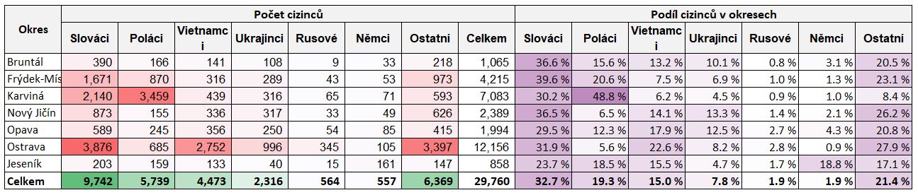
4.15 Natives (Indigenous Population)
The population living today in the territory of Czech Silesia was historically formed by a mixture of indigenous inhabitants and newcomers. Inhabitants settled for a relatively long period of time in a certain territory are referred to as the autochthonous population. The map output shows the proportion of the population born and living in a given municipality at the time of the Census. These are the native population. A major event that still affects the stability of the settlement is the post-war removal of the German population, especially from the Jeseník region. The fact that successive generations have personal ties to the area is important for the stability of the settlement. From a sociological point of view, the questions of where the parents came from, where the grandparents are buried, the place where the inhabitants grew up to adulthood are important, as they have a lifelong connection here. In this way, the territorial identity of the inhabitants is formed. Different populations usually share a common language, a common culture and a common mentality.
Opava. The autochthonous component of the population is unevenly represented in the region, it is higher in the town of Opava and in the municipalities of Těškovice, Větřkovice, Písek, Skřipov, Březová, Pustějov. The area has an average population density and an average residential function of the territory. It is an area with a lower proportion of children, but on the other hand a high proportion of seniors. There is a slight growth of residential and commercial areas.
Hlučín region. The autochthonous component is high in the whole area. The area has a higher population density, which is amplified by migration and accompanied by an increase in residential areas. The residential function of the area is growing, although the majority of the inhabitants live in family houses. The population living in the area has a significant autochthonous component, which indicates the stability of the settlement. This is the so-called “Praesian region”, i.e. the population is imprinted with the German or Prussian model of behavior. This behavioral model is manifested by greater labor activity, greater religiosity and conservatism of the inhabitants, and great activity in landscaping their own and public areas and spaces (strong attachment to the land). The area is characterized by the observance of cultural traditions. In the southern part of the municipality (Ludgeřovice, Markvartovice and Hlučín) there is a noticeable suburbanization process, where people from Ostrava are moving to.
It is therefore possible to assume an ever-increasing migratory influx of population to the whole area, which will lead to pressure on the construction of new family houses and, in connection with this, also strengthening the residential potential of the area.
Silesia. The autochthonous component of the population has a different representation in the territory. The western part of the area has lower values of the autochthonous component due to intensive migration, mainly from Ostrava. The whole area has a high population density, except for the southern part of the area, where there are foothill villages. Residential areas are growing in the Třinec, Jablunkov and Frýdek-Místec regions. More than half of the population in the area of Třinec, Těšín, Jablunkov is autochthonous, there is a relatively significant relationship with the territory, which is manifested by many socio-cultural and sporting activities in the territory. The territory of the towns of Karviná and Orlová show an increased incidence of social, security and economic risks, which intensify the instability of the settlement. Another indicator of instability can be observed in the higher rate of divorce.
Ostrava. The population living in this area has a slightly higher proportion of the autochthonous component. The whole area has a high residential function, which is also due to the high population density. The eastern part of the area from the Ostravice and Oder Rivers is influenced by the loose Silesian development, caused by different building orders, which were different for the Moravian and Silesian parts of the Ostrava region. The Moravian Building Code of 1894 encouraged compact construction in the municipality’s built-up area and, on the other hand, the Silesian Building Code of 1883 No. 26 was in force in Silesia, which allowed for loose construction, the so-called Silesian construction. This non-compact development is currently being densified and residential areas are growing.
4.16 Migration in the 21st Century (2001-2019)
Industrial society was built on industrial regions, characterized by a strong concentration of population. The process of industrialization and urban development was associated with an increase in the spatial mobility of the population. In the Czech Republic, migration is associated with a change in the place of permanent residence. Migratory movements generate a number of important demographic, economic, social and political effects, both in the process of emigration and in the process of immigration, and are a sensitive indicator of economic development in the region. The growth of migration has continued, with strong concentrative tendencies during the industrial period, when people moved unilaterally to industrial towns. The post-industrial era is characterized by two-way movement (between the core and the hinterland). Whereas in the pre-industrial period natural conditions were the determining factor for settlement, in the industrial period the influence associated with the labor market increased. In the current phase of societal transformation, there are significant deconcentration tendencies in the distribution of the population, partly supported by suburbanisation and opposed by the concentration of jobs in agglomerations. In the territory of Czech Silesia, these processes are manifested by the migration of the population to the hinterland of towns, where jobs are concentrated.
Other migration processes that took place in the territory of Czech Silesia were directed mainly to the hinterland of large towns with a good quality environment, which was reflected in the increase in the population of the SO ORP Kravaře, Hlučín, Frýdlant, Frýdek-Místek, Třinec. The largest relative outflow of inhabitants was from SO ORP Orlová, then SO ORP Jeseník, Bruntál, Karviná, Havířov, Ko- přivnice. The above mentioned areas include two types of areas with migration losses. Firstly, the areas affected by industrial restructuring (i.e. the hinterland used for housing of people working in this industry) are SO ORP Orlová, Havířov, Karviná, Kopřivnice. In the second case, it is the foothill areas, especially SO ORP Jeseník and Bruntál.
In order to capture the processes of suburbanization, it is necessary to illustrate migration processes at the municipal level. A specific area with population growth is the northern part of the Ostrava-Karviná region, consisting of the municipalities of Dolní Lutyně, Dětmarovice and Petrovice u Karviné, which offer relatively pleasant housing in a loose landscape. Another specific area is Horní Bludovice, which significantly positively compensates for the negative trend in SO ORP Havířov. A more significant migratory flow can also be observed in the southern direction within the Moravian wedge, especially south of Frýdek-Místek to the municipalities of Palkovice, Baška, Staré Město, which are well accessible by transport. Subsequently, they are migratory attractive municipalities in the SO ORP Frýdlant nad Ostravicí, especially the municipalities of Frýdlant nad Ostravicí, Ostravice, Čeladná, Kunčice pod Ondřejníkem and in the SO ORP Frenštát pod Radhoštěm the municipality of Trojanovice. In SO ORP Nový Jičín it is the municipality of Starý Jičín, in SO ORP Opava the municipality of Hradec nad Moravicí. The SOP ORP Třinec has a significant increase in the number of migrants, especially in the area of Vendryně and Komorní Lhotka, where a home for the elderly is located, which can positively influence this increase.
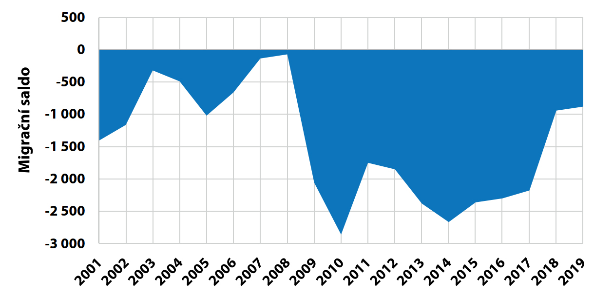
When evaluating migration flows from Ostrava, different tendencies can be identified. The increase in the number of inhabitants going to small villages is not so significant. The more significant migration flows are mainly in the hinterland of Ostrava, where the dominance of the eastern direction is also significant, i.e. the increase of population migration in the municipalities of Šenov, Petřvald, Rychvald and Vratimov. This is mainly a thickening of the loose Silesian housing development. There is a significant increase in population in Klimkovice, Vřesina and Velká Polom. In this case, it is a migration of the higher income strata of the population, which is reflected in the higher price of land for the construction of family houses. A similar process is taking place in the municipalities of Ludgeřovice, Krmelín and Brušperk. These trends show that there is an increase in settlements mainly in the size category of up to 10 000 inhabitants, as already mentioned in Chapter 4.1 Total Population.
In order to evaluate the migration process, the following typology of areas in the territory of Czech Silesia and the Moravian Wedge was created, which takes into account both, the short-term and long-term development of migration, or the migration balance, and also takes into account the reasons for migration resulting from the conditions of the area:
A - Migration-profitable areas
- Moravian wedge, well accessible to the agglomeration
- Well accessible area to Ostrava (in the vicinity of Ostrava, mainly northern and western direction)
B - Areas with relatively stable migration
C - areas with migration losses
- These are heavily urbanized areas affected by restructuring with large migration losses
- Inner and outer peripheries of the region affected by population outflow due to lack of job opportunities.
4.17 Natural Increase in the 21st Century (2001-2019)
The analysis of population size is the basic framework for considering population development. The specific causes of regional population change arise from a number of sources. The basis of the analyses is natural increase, the differences between the sets of live births and deaths over the same time period. However, since the difference between the two processes can be negative, it is logically then a natural decrease. Theoretically, however, we are still analyzing the process of natural increase in general. Although population size is at first sight a quantitative quantity, it is clear that it has a fundamental impact on the decisive spatial relations: social, economic and socio-economic. Population size is also the result of the qualitative parameters of the social and economic environment of human society.
The development of natural increase is considered for the period from 2001 to 2019. It is obvious, that in this long-term view, the regions have grouped themselves into two groups in terms of natural increase. One group consists of the SO ORP with a positive natural increase, which includes the SO ORP Kopřivnice, Frýdek-Místek, Nový Jičín, Kravaře and Český Těšín. Of these, only the SO ORP Kravaře and Český Těšín, partly Frýdek-Místek, are located in the territory of Czech Silesia. The annual rate of gross natural increase from 2001 to 2019 for these SO ORP ranges from 0.1 ‰ to 1.3 ‰. These are mainly territories with a high proportion of new arrivals from large towns. At the same time, these areas are well accessible by transport, which is important in terms of daily commuting.
The second group consists of other SO ORP, which have a negative natural increase or decrease. The highest values of natural loss are in the SO ORP Ostrava and Karviná, which on average are around -9 ‰ to -12 ‰. Even in 2018, the values for the Karviná SO ORP reached -18 ‰. At the end of the period under review, fewer children are born in Karviná and the mortality rate is also higher. Young people are leaving the region and starting families in areas with a higher quality of environment and more accessible jobs. The situation is similar in SO ORP Orlová. In the case of SO ORP Krnov, the negative values of the natural increase are caused by the poor availability of work.
The first factor that affects natural increase is the number of children born, which is influenced by the proportion of women of childbearing age, but also by delaying the age of giving birth to the first child, when the likelihood of having another child decreases. In particular, in the Bruntál region, where in the past many children were born due to the long-term negative migration balance caused mainly by the departure of the younger generation, the number of births has fallen and the whole territory is entering a negative natural increase.
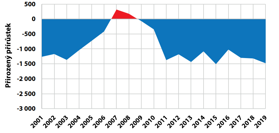
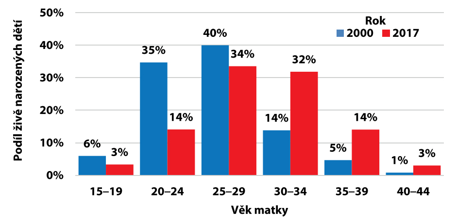
The second factor affecting the natural increase is the overall mortality rate in the regions concerned. In the belt of former socialist states from the Baltic Republics to the Black Sea, it is higher than in the rest of the EU. In contrast, the lowest overall mortality rates for both sexes were found in most of France, Italy, Spain and the south of the UK and Sweden. The overall standardized mortality rate (i.e. age-adjusted) in the Czech Silesia is slightly higher than the EU-28 average. The most common cause of death for both sexes was cardiovascular disease, followed by malignant neoplasms (cancer), diseases of the respiratory system, lung cancer (ICD-10 bronchial, bronchial and lung cancer) and the last most common cause of death was chronic lower respiratory diseases.
5. SOCIAL AND CULTURAL DEVELOPMENT
CONTENTS OF THE CHAPTER
5.1 The Revolution of 1848-1849 (Elections to the Reichstag and the Frankfurt Assembly)
prof. PhDr. Pavel Kladiwa, Ph.D. (OU)
5.2 Provincial and Imperial Elections in Silesia 1861-1918
prof. PhDr. Pavel Kladiwa, Ph.D. (OU)
5.3 Parliamentary elections in Silesia 1918-1938
prof. PhDr. Dan Gawrecki, CSc. (OU)
5.4 The process of urbanization – the birth of the modern town
doc. PhDr. Andrea Pokludová, Ph.D. (OU)
5.5 Development of Public Health and Social Care
doc. PhDr. Andrea Pokludová, Ph.D. (OU)
5.6 Secondary, vocational and continuation schools in Silesia until 1914
prof. PhDr. Pavel Kladiwa, Ph.D. (OU)
5.7 Ethnographic and Industrial Exhibitions in Silesia
doc. PhDr. Andrea Pokludová, Ph.D. (OU)
5.8 Changes in Church Administration in Silesia – Catholic Church
PhDr. David Pindur, Ph.D. (OU)
5.9 Changes in Church Administration in Silesia – Protestant Churches
PhDr. David Pindur, Ph.D. (OU)
5.10 Changes in Church Administration in Silesia – Jews and Others
PhDr. David Pindur, Ph.D. (OU)
5.11 Printed Media as Carriers of Silesian Identity
PhDr. Radim Jež, Ph.D. (OU)
5.12 Czech Emancipation
doc. PhDr. Andrea Pokludová (OU), Ph.D. prof. PhDr. Pavel Kladiwa, Ph.D. (OU)
5.13 Polish Emancipation
doc. PhDr. Andrea Pokludová, Ph.D. (OU)
5.14 Castle culture
doc. Mgr. Jiří Brňovják, Ph.D. (OU)
5.15 Traces of Nobility in Cultural, Social and Economic Development
doc. Mgr. Jiří Brňovják, Ph.D. (OU)
5.16 Dispute Over Těšín 1918-1920
Mgr. Ondřej Kolář, Ph.D. (SZM), Mgr. Ivana Kolářová (SZM)
5.17 Interwar Hlučín Region
prof. PhDr. Pavel Kladiwa, Ph.D. (OU)
5.18 Czech Silesia (1938-1939)
Mgr. Ondřej Kolář, Ph.D. (SZM)
5.19 Ostrava-Opava Operation
Mgr. Ondřej Kolář, Ph.D. (SZM)
5.20 Underground in Czech Silesia 1970-1989
Mgr. Tomáš Herman (OU)
prof. PhDr. Pavel Kladiwa, Ph.D. (OU)
5.2 Provincial and Imperial Elections in Silesia 1861-1918
prof. PhDr. Pavel Kladiwa, Ph.D. (OU)
5.3 Parliamentary elections in Silesia 1918-1938
prof. PhDr. Dan Gawrecki, CSc. (OU)
5.4 The process of urbanization – the birth of the modern town
doc. PhDr. Andrea Pokludová, Ph.D. (OU)
5.5 Development of Public Health and Social Care
doc. PhDr. Andrea Pokludová, Ph.D. (OU)
5.6 Secondary, vocational and continuation schools in Silesia until 1914
prof. PhDr. Pavel Kladiwa, Ph.D. (OU)
5.7 Ethnographic and Industrial Exhibitions in Silesia
doc. PhDr. Andrea Pokludová, Ph.D. (OU)
5.8 Changes in Church Administration in Silesia – Catholic Church
PhDr. David Pindur, Ph.D. (OU)
5.9 Changes in Church Administration in Silesia – Protestant Churches
PhDr. David Pindur, Ph.D. (OU)
5.10 Changes in Church Administration in Silesia – Jews and Others
PhDr. David Pindur, Ph.D. (OU)
5.11 Printed Media as Carriers of Silesian Identity
PhDr. Radim Jež, Ph.D. (OU)
5.12 Czech Emancipation
doc. PhDr. Andrea Pokludová (OU), Ph.D. prof. PhDr. Pavel Kladiwa, Ph.D. (OU)
5.13 Polish Emancipation
doc. PhDr. Andrea Pokludová, Ph.D. (OU)
5.14 Castle culture
doc. Mgr. Jiří Brňovják, Ph.D. (OU)
5.15 Traces of Nobility in Cultural, Social and Economic Development
doc. Mgr. Jiří Brňovják, Ph.D. (OU)
5.16 Dispute Over Těšín 1918-1920
Mgr. Ondřej Kolář, Ph.D. (SZM), Mgr. Ivana Kolářová (SZM)
5.17 Interwar Hlučín Region
prof. PhDr. Pavel Kladiwa, Ph.D. (OU)
5.18 Czech Silesia (1938-1939)
Mgr. Ondřej Kolář, Ph.D. (SZM)
5.19 Ostrava-Opava Operation
Mgr. Ondřej Kolář, Ph.D. (SZM)
5.20 Underground in Czech Silesia 1970-1989
Mgr. Tomáš Herman (OU)
5.1 The Revolution of 1848-1849 (Elections to the Reichstag and the Frankfurt Assembly)
The revolution of 1848/49 is sometimes simplistically called the "Spring of Nations." In fact, it did not erupt primarily over national issues, but was a set of sub-revolutions - political, economic, social, national and cultural.
In the second week of June 1848, elections were held for the Reichstag in Vienna, whose main task was to prepare the constitution and regulate national, social and economic conditions. The right to vote was granted to male Austrian citizens who were at least 24 years of age and had lived in the electoral district for at least six months. Workers working for a daily or weekly wage were not eligible to vote. Elections were indirect - individual municipalities elected electors who then went to the center of the constituency and elected the MP. In Silesia there were nine rural constituencies, each with a population of about 50,000, and the Opava urban constituency. There were six constituencies in the Opava Region and four in the Těšín Region. The total number of eligible voters was 45,885, i.e. almost one tenth of the population. Among the elected voters, peasants, gardeners, householders, hereditary fasters and craftsmen were the most represented in the rural constituencies, while in Opava, merchants, businessmen, freelancers and clerks. One of the elected deputies, Hans Kudlich, a law student from Úvalno, submitted a motion to the Reichstag in Vienna to abolish slavery and serfdom.
The law on the abolition of slavery and serfdom in return for compensation was subsequently issued on 7 September 1848. It was the question of labor and serfdom that was most important for the countryside, i.e. for the vast majority of the population at that time. The Provincial Archives in Opava preserve complaints and demands from 21 Silesian municipalities (and evidence of complaints from three other municipalities and three towns) sent from April to July to the Silesian Public Convention (Provincial Assembly) - marked on the map . Villagers demanded the elimination of labour, demanded cash and in-kind salaries and benefits, salaries for the domestic fund, tithing, complained about the damage caused by manure in their fields and the burdensome laudemium (fee paid for the transfer of land and real estate).The national situation in Austrian Silesia was such that the Czechs represented the weakest of the three nationalities in terms of numbers and political influence. The Slavic population living in the central and eastern part of Austrian Silesia was mostly nationalistically undefined, and agitation played a decisive role in its national profile. Polish agitation in Těšín was much more active than Czech agitation in 1848, and the same applies to the role of Poles from Silesia at the Slavic Congress. The representatives of the Czech intelligentsia in Těšín were more likely to support the idea of Slavic solidarity, whereas the representatives of the Polish camp were more likely to emphasize the Polish national program. The Germans came to the 1848 revolution better prepared politically, helped by the environment in Opava. In Opava, the penetration of the ideas of German nationalism was connected with contacts with Vienna and a considerable turnover of inteligence (clerks, teachers, lawyers, etc.).
The year 1848 actually marked the end of possibilities for Austrian Silesia - people became more and more divided into Germans, Czechs and Poles. In Těšín, Ludwik Klucki, Andrzej Ciencała and Paweł Stalmach started publishing Tygodnik Cieszyński in May 1848. Jan Kozánek, a court and law trainee in Opava, and Arnošt Plucar, a professor at the Evangelical Gymnasium in Těšín, worked in the Czech spirit. The Opava Germans reacted disapprovingly to Prague's state demands (the unification of the lands of the Czech Crown under the central authorities in Prague) and sent a deputation led by Franz Heine to Vienna in early April 1848. If the Germans disagreed with the restoration of the Bohemian Crown, the Czechs, for their part, refused the incorporation of the Bohemian lands into the Greater German project and refused to participate in the proceedings of the Frankfurt parliament. In Silesia, however, unlike Bohemia and Moravia, elections to Frankfurt were held in all seven constituencies. Probably the most famous Silesian deputies in Frankfurt were Lichnovský, Kalchberg, Demel and Kudlich. Felich Lichnovský of Voštice had estates in both Austrian (Hradec nad Moravicí) and Prussian Silesia, and was elected to Frankfurt for the Prussian constituency of Ratiboř. Josef von Kalchberg, a former professor of state studies at the Theresian Knights Academy, was the administrator of the estates of Karl Ludwig of Austria and the tutor of Karl's sons. The Těšín lawyer (and later Těšín mayor and provincial and imperial ambassador) Johann Demel von Elswehr was one of the pillars of the German liberal camp in Těšín. Josef Hermann Kudlich (also later a regional and imperial deputy) was the older brother of Hans Kudlich. Eventually a Czech was elected to the Frankfurt parliament, but from the Hlučín region in Prussian Silesia. This was the Hlučín chaplain Cyprian Lelek. The revolution in the Habsburg lands was eventually suppressed (just like the revolution in the German lands), the Austrian Reichstag and the Frankfurt Parliament were dispersed by the gradual elimination of the various revolutionary hotbeds (Prague, Vienna, northern Italy, Hungary). In the Habsburg lands, however, the revolution brought substantial gains - the abolition of slavery and serfdom and the introduction of municipal self-government. For Silesia, the Revolution brought another important aspect - separation from Moravia and thus regaining the status of an independent crown land (which Silesia had lost under Joseph II).

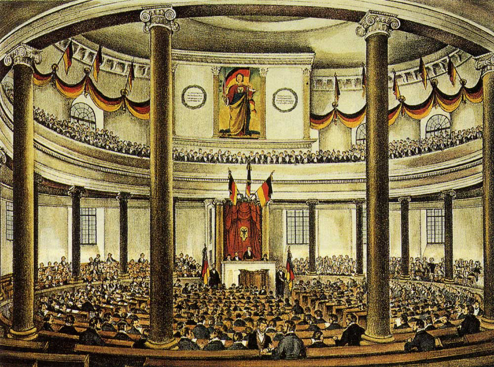
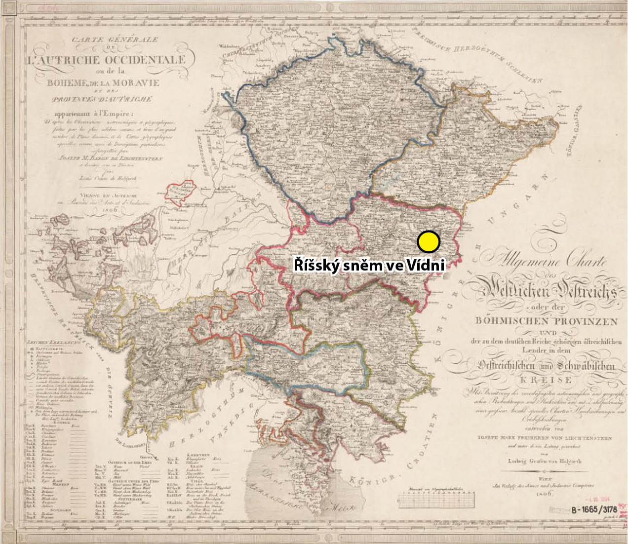
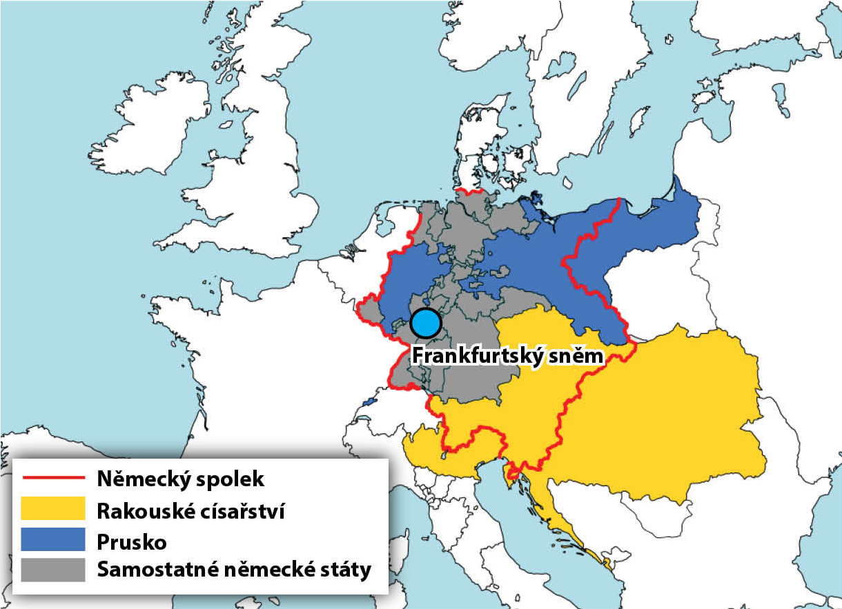
5.2 Provincial and Imperial Elections in Silesia 1861-1918
After the overture of 1848, parliamentarianism was permanently established in the Habsburg monarchy in 1861. It became a constitutional monarchy with a centralist system in which the provincial authorities had rather limited powers. According to the Provincial Statute of 1861, the supreme powers of the Provincial Assembly were as follows: agricultural matters, public buildings financed from the provincial budget, charitable institutions financed from the provincial budget, and provincial budget matters. The Assembly had limited powers (it had to act in accordance with the general laws) in the matters of municipalities, churches, education and the army.
From 1861 the Provincial Assembly consisted of the Bishop of Wrocław, nine deputies of the large landowners' curia, 10 deputies of the town curia, two deputies of the Opava Chamber of Commerce and Trade and nine deputies of the rural municipalities' curia. There was only one electoral district for all Silesia, which was in Opava.
In the curia of towns and in the curia of rural municipalities, men who met the so-called tax census, i.e. if they paid direct taxes of at least 10 zl. per year. In 1897, the tax census reduced by half, i.e. to 5 zl. in direct taxes per year. In addition to tax voters, the so-called intelligentsia voters, i.e. clergymen, court, state and provincial officials and officials of public funds, retired officers, serving and retired soldiers without officer rank, holders of doctoral degrees obtained at a local university and teachers, had the right to vote in the curia of towns and rural municipalities, regardless of the payment of taxes. Elections in the rural curia were first indirect (voters elected electors, and only electors elected deputies), and from 1897 direct.
In the Reich Council, the small Austrian Silesia had a low representation – from 1861 it was six deputies out of 343, from 1873 10 deputies out of 353, from 1897 12 deputies out of 425 and from 1907 15 deputies out of 516. The electoral system underwent more changes than in the case of the Provincial Assembly. In the years 1861–1873 there were no separate elections, but the deputies of the Reich Council were chosen by the Provincial Assembly – two deputies were delegated by the landowners' district, one member by the town of Opava and the Opava Chamber of Commerce and Trades, one member by the towns outside Opava and two deputies by the rural districts.
From 1873, when it was no longer by election rather than by delegation, the three deputies were elected by the landowning constituency (which, as in the case of the provincial elections, was the only one for the whole of Silesia), one deputy from Opava plus the Opava Chamber of Commerce and Trades, one deputy each from three urban constituencies and one deputy each from three rural constituencies comprising several judicial districts. Each voter's vote was not “weighted” equally; the system favored the wealthier and more educated classes. In 1885, for example, there were three deputies of the curium of a large estate for only 53 voters, in the curium of towns there were 7,879 voters for the same number of deputies, and in the curium of rural municipalities 22,008 (through 1,025 voters). There were also differences within individual curiae – in the urban curia 1,242 voters voted for one deputy from the Opava constituency, whereas 3,012 voters voted for one deputy from the Těšín constituency; in the rural curia 5,506 voters voted for the Bruntál constituency, whereas 9,823 voters voted for the Těšín constituency.
Badeni's electoral reform added two new seats to Silesia in 1897 for the elections to the Reichstag and thus two new constituencies in the newly established Fifth General Curia, in which all adult males with Austrian citizenship voted regardless of the taxes they paid. In addition to the 32,833 voters who had the right to vote that year in the curium of a large estate or the curium of towns or the curium of rural municipalities, there were 77,939 voters who delegated only two deputies.
The right to vote in the curia of towns and in the curia of rural municipalities was until 1907, as in the case of provincial elections, linked to a tax census, originally amounting to 10 zlotys, and from the election of 1885 it was reduced to 5 zl. and from the elections of 1897 to 4 zl. In 1907, universal, secret, direct and equal suffrage for men was introduced for elections to the Reichstag. The total number of eligible voters was 126,668 out of a population of 634,800. The curial system was therefore abolished. Silesia was divided into six urban constituencies and nine rural constituencies. Even after the abolition of the curial system, each voter's vote did not carry equal weight. For example, the Opava municipal constituency had 4,498 voters, while the Radvanice municipal constituency had 14,154.
In Austrian Silesia, the political representatives of the German-speaking classes completely dominated, while the much weaker representatives of the Czechs and Poles in Silesia went from mutual cooperation in the 1880s, 19. based on advancing against the privileged position of the German elites, to mutual rivalry at the turn of the century, to fierce antagonism in the last years before the war.
Representatives of the Czechs and Poles had a more significant representation than at the Silesian Provincial Assembly since the introduction of universal suffrage at the Reich Council, which was logical given their lower representation in the middle and upper classes – the Reich Council had a less honorary, i.e. less elitist character from 1907. In 1907, in Silesia, three Czechs were elected to the Reich Council (Social Democrat – centralist Petr Cingr, Social Democrat-autonomist Čeněk Pospíšil and Old-Czech Karel Rolsberg) and three Poles (Social Democrats Tadeusz Reger and Ryszard Paweł Kunicki and a Catholic priest Józef Londzin from the Union of Polish Catholics).
Among the Czech deputies of the Provincial Assembly we should mention Antonín Gruda, a parish priest from Opava, co-founder of the Opava Matrix; Věnceslav Hrubý, a lawyer working in the state services in Těšín and Opava and publisher of the first Czech newspaper in the Těšín region since 1894; and František Stratil, the first Czech lawyer in Opava and an important member of the Opava Matice. Important Polish representatives were the Skočov teacher and founder of the Shlonzakov movement Josef Kozdon, the Těšín lawyer Jan Michejda (a representative of the Protestants) and the Catholic catechist at the Těšín grammar school, Ignacy Świeży.
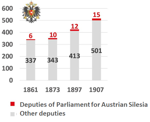
5.3 Parliamentary elections in Silesia 1918-1938
In order to understand the political sympathies and political orientation of the population in the period between the World Wars, the results of the elections to the Chamber of Deputies of the National Assembly of the Czechoslovakia are most relevant.
The results of the parliamentary elections in Silesia to the Chamber of Deputies of the National Assembly of the Czechoslovakia contain some peculiarities in comparison with the results of parliamentary elections in other regions of the Czech lands. One of the reasons for these differences is the economic character of the individual districts, which was reflected in the strong positions of the parties that acted as workers' parties in the districts of the Ostrava industrial area (KSČ, ČSSD); in districts with a strong representation or predominance of the German population in Jesenick, Krnov and Bruntál, it was the DSAP (in the 1920s), or at the same time and in the same districts, the DNSAP. The KSČ often dominated in the districts and towns of the coalfield, and it also held significant positions in the Frýdek region and in the judicial districts of Český Těšín and Jablunkov with a large population of Polish nationality.
Agrarian parties: the Czech party (REP) was weaker than the average of the Czech countries; it found relatively the most sympathizers in the judicial districts of Frýdek, Opava, Klimkovice and Bílovec, somewhat less in the districts of Vítkov and Český Těšín. The German Farmers' Union (BdL), which was the strongest of the German activist parties in Czechoslovakia, did not have a tradition in Silesia; in the 1920s it was active in the judicial districts of Albrechtice, Osoblaha and Jindřichov.
The national and nationally oriented Czech parties were much weaker than on the national scale. The Czechoslovak National Socialists (ČSNS) were strongest in the Opava judicial district, partly also in Klimkovice, and in the mid-1930s, at a time of growing national tensions, they also established themselves in some towns of the coalfield, in Českotěšín and Jablunkov.
As a rule, the National Democrats (ČND) and the National Unification Party inspired by them in 1935 did not win more than 5 % of the votes in the judicial districts; they were relatively most successful in the Fryštát judicial district in 1935 (6.27 %) and also mainly in the 1930s in the towns and larger municipalities of the coalfield (Karviná, Orlová, Petřvald, etc.). The other Czech parties were generally unsuccessful in the elections, with the People’s Party (ČSL) generally not gaining more than 6 % of the vote in most districts; they were strongest in 1935 in the judicial districts of Opava (less than 15 %), Klimkovice (almost 17%) and Frýdek (less than 13 %).
The German parties were divided into activist (cooperating with the ruling regime) and negativist (not cooperating, aiming to break up the Czechoslovakia). In the parliamentary elections of April 1920, in which they acted in coalition, the Negativist parties (DNP, DNSAP) won more than half of the half the majority of all votes in many districts of the mountainous Jesenik, Krnov and Bruntál regions, less so in the Opava and Bílovec regions. After the cessation of activity, or dissolution, of these parties in 1933, Henlein's SdP dominated the parliamentary elections in May 1935 in all districts with a predominantly German population; even in the Czech-majority district of Hlučín, the SdP won 64.35 % of all votes cast. The German ones were held in Czechoslovakia of the so-called activist parties, the strongest party in these elections was Social Democracy (DSAP), which won the most votes in the districts of Vrbno (30.83 %) and Bruntál (21.83 %), followed by the Christian Social Party (DCV), which had more than 20 % only in the district of Cukmantl (Zlaté Hory, 26.01 %). The German agrarians were strongest in the Osoblaha region (16.13 %). The Communist Party of Czechoslovakia did not make significant inroads anywhere in the districts and municipalities with a predominantly German population.
The Polish parties mostly acted in coalition, and in 1935 they even joined an autonomist bloc in which the strongest Slovak parties had the main say. This coalition won almost 35 % of the votes in the Český Těšín judicial district and almost 57 % in the Jablunkov judicial district. Statistical data on judicial districts and municipalities with more than 5,000 inhabitants were selected as the basic territorial units for the assessment of the election results, which also allows comparisons in terms of the Silesian region or the Czech lands. In terms of a national comparison, we can find, for example, that in 1935 Henlein’s SdP was the strongest of all the judicial districts in the Czech lands in the judicial district of Frývaldov in Silesia, or that of all the municipalities in the Czech lands with more than 5,000 inhabitants, the Communist Party won the largest percentage of votes in the municipality of Lazy in 1929 and 1935.
Abbreviations of the most successful parties indicating the most common names
Click on the image to enlarge..
The Polish parties mostly acted in coalition, and in 1935 they even joined an autonomist bloc in which the strongest Slovak parties had the main say. This coalition won almost 35 % of the votes in the Český Těšín judicial district and almost 57 % in the Jablunkov judicial district. Statistical data on judicial districts and municipalities with more than 5,000 inhabitants were selected as the basic territorial units for the assessment of the election results, which also allows comparisons in terms of the Silesian region or the Czech lands. In terms of a national comparison, we can find, for example, that in 1935 Henlein’s SdP was the strongest of all the judicial districts in the Czech lands in the judicial district of Frývaldov in Silesia, or that of all the municipalities in the Czech lands with more than 5,000 inhabitants, the Communist Party won the largest percentage of votes in the municipality of Lazy in 1929 and 1935.
5.4 The process of urbanization – the birth of the modern town
On the threshold of modern times, i.e. at the beginning of the 19th century, the region of Czech Silesia was characterized by a relatively dense network of small towns and rural settlements. According to topographical surveys, the population of none of these small towns exceeded the 10,000 mark.
The revolutionary years of 1848/49 marked a significant turning point in the life of the towns, which acquired self-government through a provisional municipal law (1862 Municipalities Act). The process of merging urban cores with suburbs was initiated (Opava, Těšín, etc., the process of functional merging of towns with surrounding municipalities continued throughout the 20th century – Slezská Ostrava, Karviná, Bohumín, Třinec). In the middle of the 19th century, only the city of Opava exceeded 10,000 inhabitants, which as a result of administrative changes, it became the capital of the Duchy of Upper and Lower Silesia, which stimulated its urban development in the following decades. The growth of the urban population is considered to be one of the indicators of urbanization; it was already taking place in the region in the first half of the 19th century and intensified by the simultaneous effects of migration and demographic transition in the second half of the 19th century. In localities with a concentration of heavy industry, industrial towns, e.g. Karviná, were created in the vicinity of traditional administrative centres, such as Fryštát. Dynamic development at the end of the monarchy involved other industrial towns, i.e. Polská Ostrava, Frýdek, Krnov. Other small towns have stagnated in their development. The number of inhabitants at the end of the monarchy was not an attribute of a modern city, it was a modern infrastructure and a developed cultural life. The water supply and sewerage network was built in the administrative centers, i.e. Opava, Frýdek, Těšín, Bohumín, Krnov, Bruntál. It was not commonplace for all small towns. Gasworks distributing gas to the public network existed in Opava (1859), Krnov (1866) and Těšín (1882). The oldest power plant was built in Frýdek (1890/91); by the end of the monarchy, municipal power plants were still in operation in Polská Ostrava (1895), Krnov (1903), Opava (1904) and Těšín (1911). The construction of the power plant was usually associated with the operation of street railways in the locality.
The war events of the 20th century also had an impact on the development of Silesian towns, e.g. the division of Těšín into Cieszyn and Český Těšín in 1920. With the displacement of the German population after 1945, the depopulation of the towns in the western part of the region (Jesenicko) deepened, which, despite the post-war settlement policy, continues to this day due to the stagnant economic development of the region. Until 1989, housing estates were being built intensively within the cities of the industrial agglomeration, e.g. Orlová-Lutyně, Karviná-Ráj. As a result of undermining and intensive industrial activity, some traditional towns found themselves at the zenith of their development, i.e. Slezská Ostrava, Orlová, Fryštát. Havířov, for which depopulation became symptomatic in the era of the post-Soviet transformation economy, became a new town, built on a greenfield site. Today, all towns in the region meet the criteria of modern places to live, despite air pollution, one of the impacts of industrial production, local polluters and motoring. Town in the region have undergone and are undergoing multiple phases of development on their way to becoming modern settlements (e.g. suburbanization at present) and even in those that are now stagnating or depopulating, this process may not be permanent.
Polish Frysztat, German Freistadt is a historical part of the statutory town of Karviná. Until the middle of the 20th century it was the administrative seat of the district of the same name, i.e. the seat of the district office and court. In 1939, the merger of Fryštát with the mining village of Karviná (now defunct) created the twin town of Karwin-Freistadt. After the war, Fryštát became the “center” of post-war Karviná, built in the intentions of the contemporary spatial planning emphasizing the construction of residential districts and later panel housing estates typical for the town.

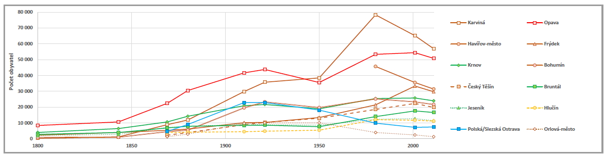

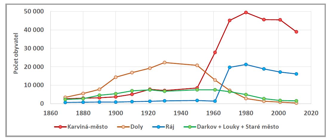
5.5 Development of Public Health and Social Care
At the beginning of the 1870s, the Provincial Board of Health, MUDr. Eduard Mestenhauser, assessed the health of the population and its standard of living with pessimistic words: “I can offer no consolation; the history of sanitation at this time is a history of great sanitary hardships arising from hereditary poverty, a history of disinterest in the establishment of health care, a time of few successes leading to improved sanitary conditions.” The following decades saw a modernization of public health, interrupted by the events of the Great War but in many ways successfully continued in the interwar years of the First Republic. Many of the medical facilities built between 1848 and 1938 are still in use today.
Between 1872 and 1881, thirteen hospitals mainly operated by towns and religious orders provided health care in the country: Opava (2), Odry, Krnov, Těšín (2), Bruntál, Bílsko, Mnichov pod Pradědem, Skočov, Frýdek, Jablunkov, Osoblaha. Only the general public hospital in Opava had the so-called right of publicity, which obliged it to accept patients regardless of their condition, religion or illness. Hospital care was largely paid for by the patients themselves; the sickness insurance system was just beginning to take shape. Only the poor were relieved of the obligation to pay the so-called medical fees.
By 1910, the number of hospitals in the country had risen to 29; industrial enterprises and mining companies also established new medical facilities. Some facilities had only a few beds, such as the Municipal Hospital in Jablunkov, while the largest ones, such as the one in Opava, could accommodate more than 250 patients at the same time. The most modern hospital facilities on the eve of the Great War were the general hospitals in Těšín, Bílsko and Bruntál, which had isolated infectious wards, emergency trauma wards, surgical theaters, modern equipment for inpatient and outpatient care. The Silesian Provincial Institute for the Insane in Opava, built in 1889, was also a modern hospital facility.
In the interwar years, new hospitals were established sporadically, and investments were made mainly to expand the bed capacity of existing facilities and to modernize them. One of the priorities of public care has become the establishment of hospitals for pulmonary diseases, i.e. tuberculosis in particular. Paediatrics, obstetrics, care for the long-term sick and modern spa care were developed. We see spa care based on the use of natural medicinal resources for the treatment and prevention of diseases as an integral part of the public health system. Some of the spas founded in the territory of Austrian Silesia during the “long” 19th century are still functioning today (Lázně Jeseník, Darkov, Karlova Studánka, Dolní Lipová), others recently ceased their activities (Jánské Koupele).

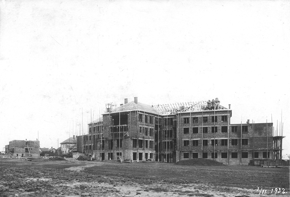
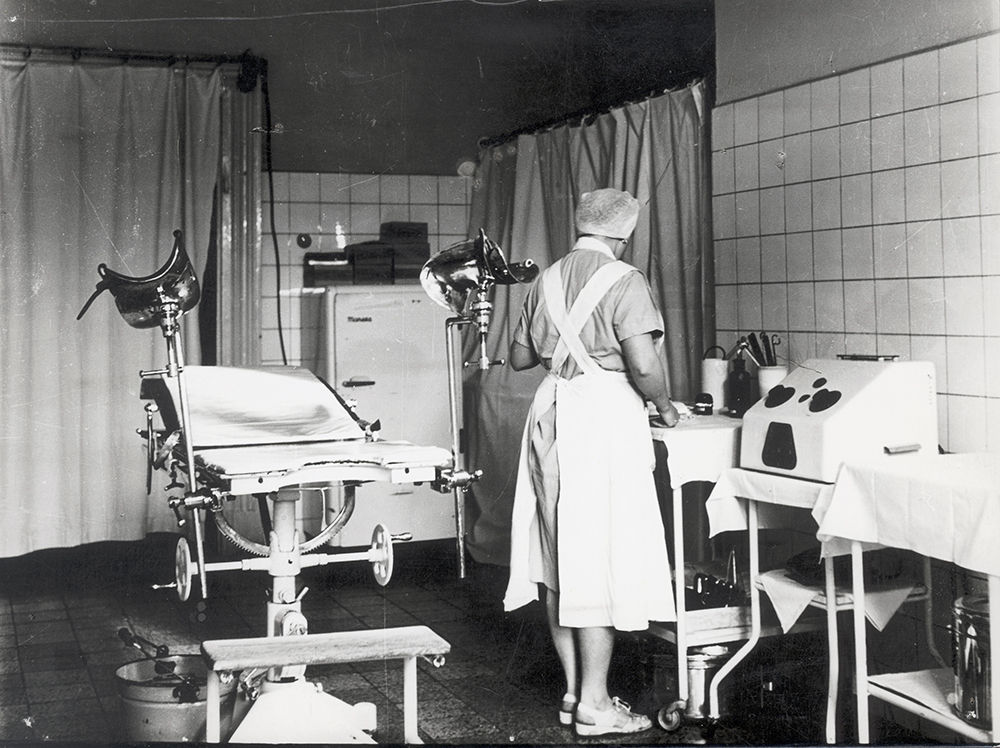
5.6 Secondary, vocational and continuation schools in Silesia until 1914
The role of education had been gaining importance since the Enlightenment and was reflected by the introduction of universal schooling. During the 19th century, economic development and bureaucratization increased the need for education. Qualification certificates and degrees, in Pierre Bourdieu’s words, institutionalized cultural capital, greatly improved the position of the individual in the labor market. Higher education was also crucial from the point of view of the nationalists - at a time of rivalry between the three (German, Polish and Czech) national societies, it was of strategic importance as a guarantee of their further development.
Although the 1849/54 reform reduced the teaching of classical languages in grammar schools, they still took up over 40% of teaching hours. Mathematics, physics and natural sciences received a higher hourly allocation compared to the previous period. History, geography, German, language, religion and optional subjects were also taught. Realschules provided vocational education for craft occupations and prepared for technical studies. They did not teach classical languages. Therefore, more space was given to living languages, science, physics, drawing, geography, history, etc. Realschule grammar schools were established in the last of the pre-war years. It combined the curriculum of classical grammar schools and real schools, a little was closer to grammar schools. Graduates could advance to all types of universities and colleges. Classical languages were not taught in girls’ lyceums. A large space was devoted to modern languages, geography, history, religion, mathematics, science, drawing and spelling were also included in the curriculum. Among the optional subjects were e.g. women’s handicrafts, housekeeping, shorthand.
A total of 11 grammar schools and realschule grammar schools were established in Silesia before World War I – seven with German as the language of instruction (one of them was soon closed down), two with Polish and two with Czech. The realschules were mostly German. In Silesia, male candidates for the teaching profession could be trained in all three provincial languages, while women could only train in German. In the last years before the war, three girls' lyceums were founded, two German and one Czech.
Vocational and further education aimed at developing practical skills was of great importance for economic development. The State Trade School was established in Bílsko, the Provincial Agricultural High School in Horní Heřmanice, the two-year Provincial Agricultural School in Chotěbuz, and two-year trade schools (all German) in Opava and Těšín. In five or six winter farm schools the peasant youth had the opportunity to be educated. The densest (66, in several towns there were also two trade schools) was the network of trade and merchant continuation schools, which taught on weekday evenings and Sunday mornings. There were German, Polish and Czech trade schools. Finally, there were also weaving schools, a basket weaving school, a vocational school for the marble industry and a vocational school for the granite industry.
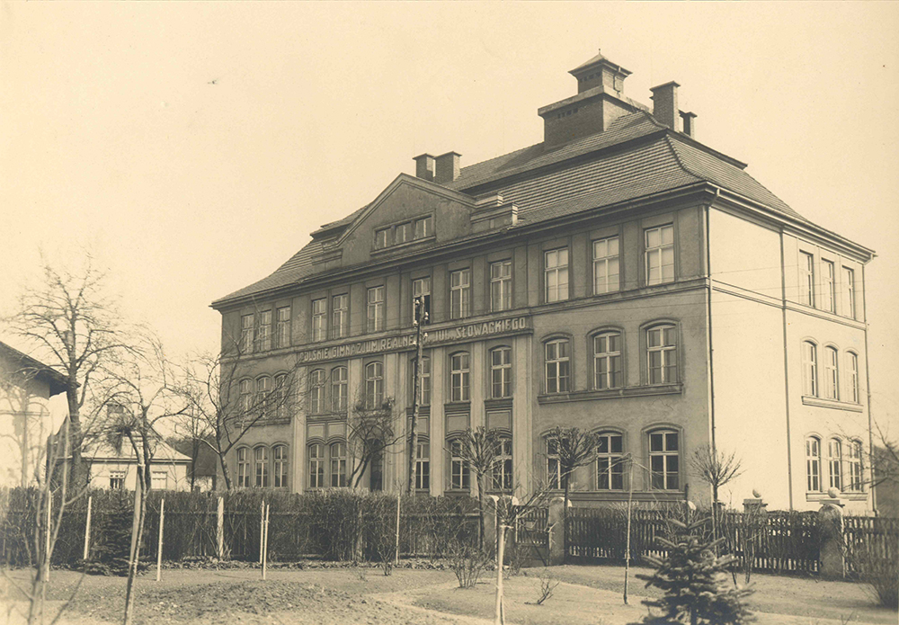
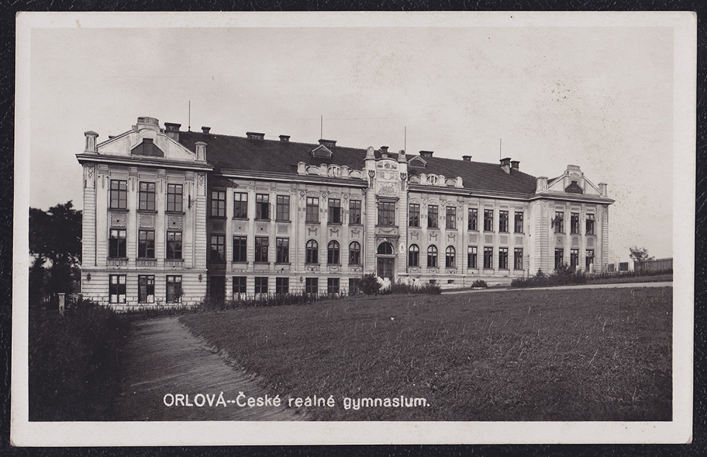
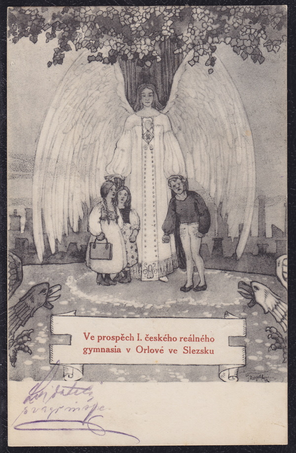
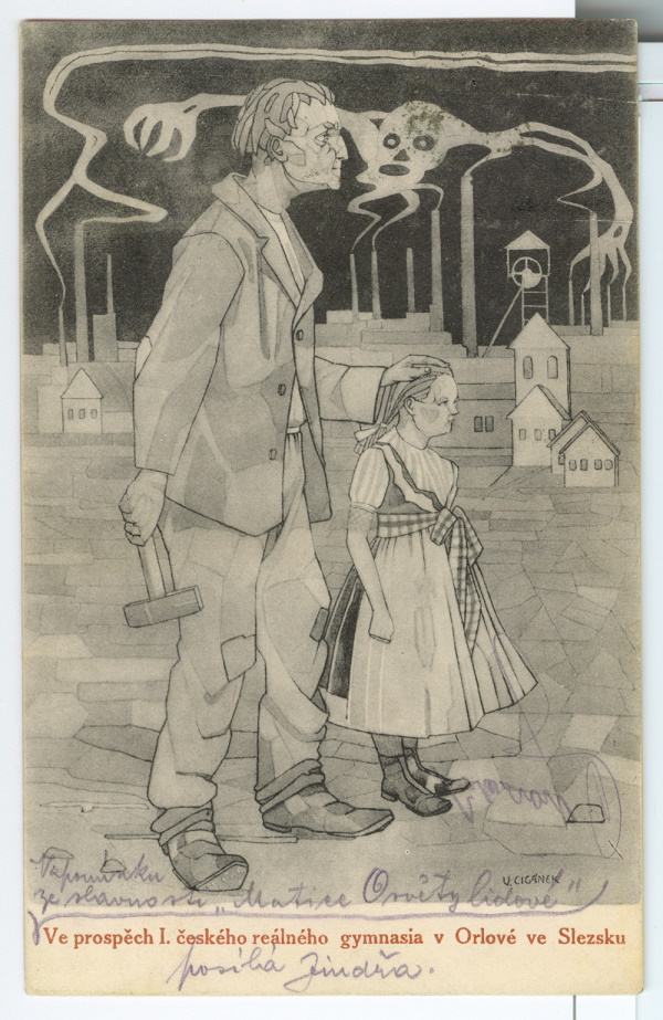
5.7 Ethnographic and Industrial Exhibitions in Silesia
The roots of the modern European exhibition industry can be traced back
to the Great Exhibition of the Works of Industry of all Nations, the Crystal
Palace Exhibition known as the World’s Fair, held in London in 1851. The
exhibition presented the achievements of the Industrial Revolution and
the culture of the exhibiting countries. In the following years, there was
a worldwide boom in the organization of world, regional and national
exhibitions.
In Silesia and northeastern Moravia, regional exhibitions were inextricably linked with cultural nationalism and were at the origin of the establishment of regional museum exhibitions.
In Silesia and northeastern Moravia, regional exhibitions were inextricably linked with cultural nationalism and were at the origin of the establishment of regional museum exhibitions.
The presentation of the achievements in the development of modern agriculture and industry was also at the origin of Ersten österr.-schlesischen Gewerbe-, Industrie-, land- und forstwirthschaftlichen Ausstellung in Teschen, held in Těšín from 5 to 19 September 1880. The Provincial Exhibition was in many ways the impetus for the organization of Czech exhibitions, which intensified with the preparation of the exposition for the Czechoslovak Ethnographic Exhibition in Prague (1895). On 3 September 1893 the first Czech ethnographic exhibition was opened in Opava, organized by the Opava Maticein cooperation with the Academic Ferial Club of Opava. Prehistory, the history of the region and folk culture, such as costumes and rural dwellings, were presented in eight sections. The exhibition ended on 13 September 1893 and as a result stimulated collecting activities concerning Silesian folk art.
The attention of Czech cultural workers then turned to the Těšín region. The planned exhibition in Orlová, an important pilgrimage site in the region and a newly emerging industrial center, was intended to give the public a comprehensive picture of the life of the Lachian people in eastern Silesia. The exposition included: I. Prehistoric objects, II. Historical, literary and artistic monuments, III. Mining, IV. Church objects, V. Custom department, VI. Folk literature, VII. Folk music, VIII. Lachian households, IX. Folk costumes and embroidery, X. School department. The Orlová exhibition took place on 2 to 12 September 1894. The exhibition included valuable items from the collection of the teacher and ethnographic worker K. J. Bukovanský, from Ostrava, Poland. A model of a Silesian cottage was made for the Orlov exhibition, which was also intended for the ethnographic exhibition in Prague. The Orlová exhibition also included ethnographic days with a rich musical program. The exhibition was seen by 8,123 visitors over 10 days. Karel J. Bukovanský commented: “Silesians came to pay homage to the past, to learn not only about the archaic way of life of their parents and grandparents, but also about the ancient elements of traditional life that still existed or survived in the Silesian region.” Years later, a second exhibition was held in Orlová in 1926.
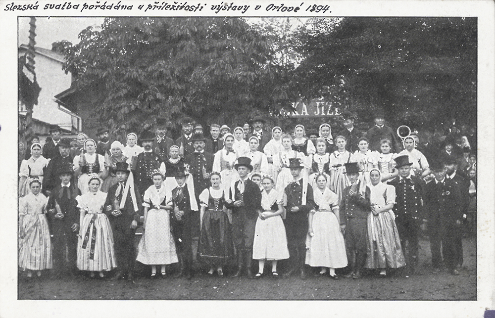
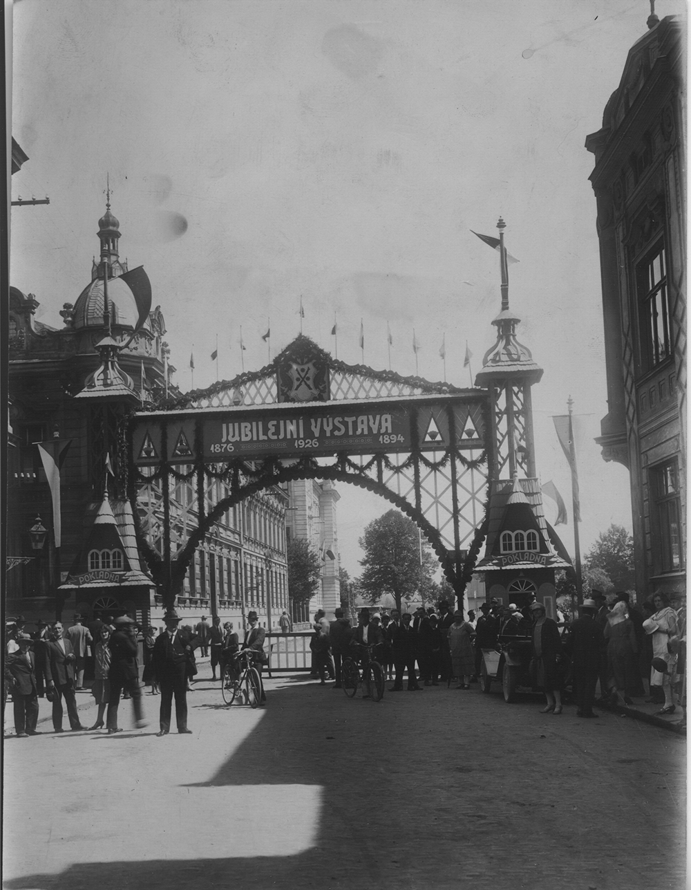
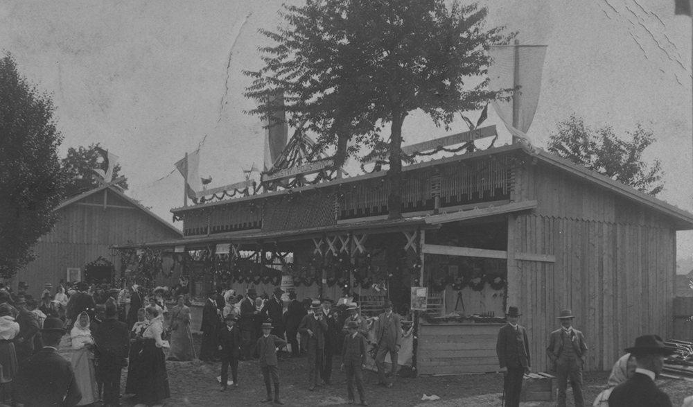
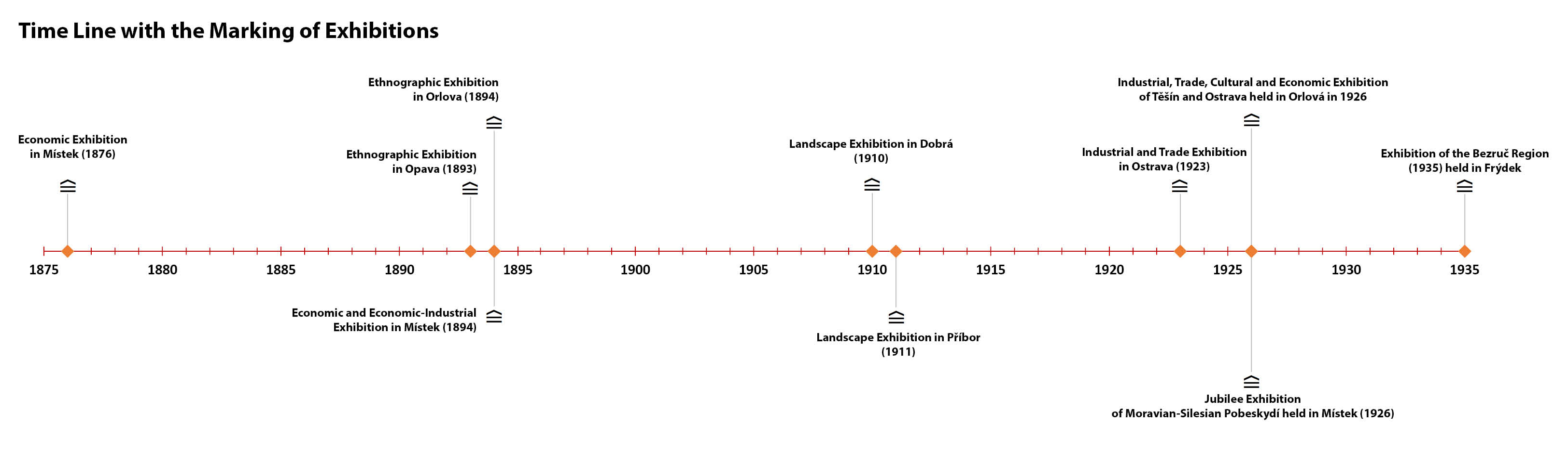
Among the important pre-war regional exhibitions we can also count the so-called landscape exhibitions held in the village of Dobrá (1910) and in Příbor (1911). In the interwar years, the industrial exhibition held in Moravská Ostrava in 1923 and the Bezruč Region Exhibition in Frýdek in 1935 made their mark in the history of the region with the size of exhibition spaces and high attendance. Some of the exhibited objects from the above exhibitions are in the collections of regional museums and form an important part of the regional cultural heritage.
5.8 Changes in Church Administration in Silesia – Catholic Church
The Prussian annexation of a large part of Silesia during the First Silesian War fundamentally affected the already complicated ecclesiastical and administrative development of this territory. From the Olomouc diocese, the deaneries of Hlučín, Ketř, Opavice, covering an area of 1,283 km2, were assigned to Prussia. The office of episcopal commissioner for the Prussian part of the Olomouc diocese was established for their further administration (1755). Most of the territory of the so-called Bishop's Commissariat of Těšín remained in the Diocese of Wrocław. From 1654 it consisted of archpriesthoods (deaneries) with seats in Bílsko, Frýdek, Fryštát, Těšín and Vladislav and from 1738 in Strumen. Part of the territory of the latter two fell to Prussia.
In 1773, the division of the previously large Olomouc diocese into three parts – Brno, Olomouc and Opava – was being prepared. With the the Papal Bull of Pius VI of 5 December 1777, the Olomouc diocese was elevated to an archdiocese with two bishoprics – Brno and Olomouc. The first archbishop was Antonín Theodor Colloredo-Waldsee (1729 – 1811). Formally, the Opava diocese was also approved by the Pope, but it was not implemented due to a number of problems. The establishment of the Opava bishopric became actual (again unsuccessfully) in 1868 after the lost war with Prussia.
The Josephine church reforms brought about a streamlining of the outdated and insufficient model of parish organization by dividing it into smaller parishes and local chaplaincies, especially in the mountain areas of the Beskydy and Jeseníky Mountains. The Josephine dissolution of monasteries in Austrian Silesia affected only Dominicans (1786) and Clarists (1782) in Opava. The Dominicans continued their activities (until in 1790), the Merciful Brothers and Elizabethans in Těšín, Minorites in Opava and Krnov, German Knights in Opava and Bruntál and Piarists in Bílé Voda and Bruntál. In Austrian Silesia, 54 religious brotherhoods were abolished as part of the Josephine reforms. As in the case of the dissolved sacral buildings and institutions, their property was transferred to a religious fund subsidizing the establishment of new churches and spiritual administration units.
Especially in the Těšín region, for various reasons (remoteness, demographic and industrial development) a number of new parishes and churches were established before World War I. In 1914, the Austrian part of the Diocese of Wroclaw administered by the Vicariate General consisted of 12 archpriesthoods and 111 units of spiritual administration. From 1899, the theological school in Vidnava was to provide its own priestly training. In 1855 Těšín became the permanent seat of the Vicariate General (until the liquidation of the institution in 1925). The only vicar general who achieved episcopal ordination (30 September 1883) was Franciszek Śniegoń (1809-1891), a native of Těšín. In addition to the above-mentioned orders, the Jesuits, the Borromeans, the Vincentians and the Vorshilkas were active in the area. Among the most important local pilgrimage sites were the Marian churches in Frýdek and near Zlaté Hory (Mariahilf).
Before World War I, the Opava archpriesthood consisted of eight deaneries (Bílovec, Bruntál, Hradec, Jakartovice, Krnov, Odry, Opava, Osoblaha) with 96 parishes. Among the religious clergy, the Order of German Knights, which had a large property base and institutions in the area, played a significant role in local spiritual administration. Among the other orders and congregations active here we mention the Minorities, the Sisters of the Order of German Knights, the Daughters of Divine Love, the Sisters of Charity of the Third Order of St. Francis as well. The most important pilgrimage sites in this area include Cvilín and Hrabyni.
The administration of the Czechoslovak territory of the former Vicariate General for the Austrian part of the Diocese of Wrocław (from 1929 the Archdiocese) was replaced in 1920 by the so-called Prince(Arch)Bishop’s Co-Missariats for Czechoslovak Western Silesia (Niski, 35 parishes) and Eastern Silesia (Těšín, 45 parishes) headed by commissioners with the powers of general vicars. According to the modus vivendi (1928), both territories should have been assigned to the Olomouc archdiocese, but this did not happen until the autumn of 1938. In the years 1938-1945, the Archdiocese of Olomouc temporarily administered the Archdiocese of Frýdek and Silesian Ostrava. In 1938-1939, 29 parishes from the part of Czechoslovak Těšín annexed by Poland were transferred to the diocese of Katowice, and again to Vratislav on 1 January 1940. For the Silesian part of the Olomouc archdiocese, occupied by Germany, a general vicariate was created with its seat in Branice. It was headed by Joseph Martin Nathan (1867-1947), auxiliary bishop from 6 June 1943.
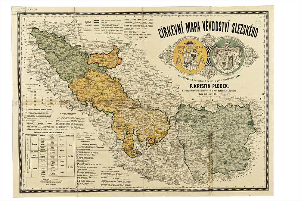
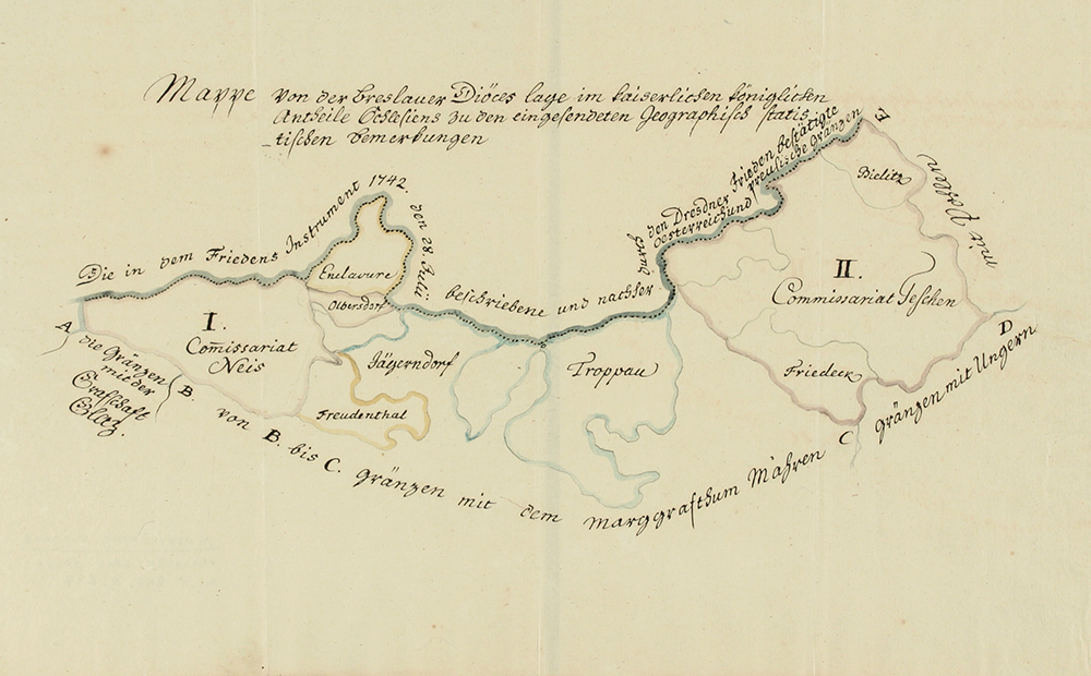
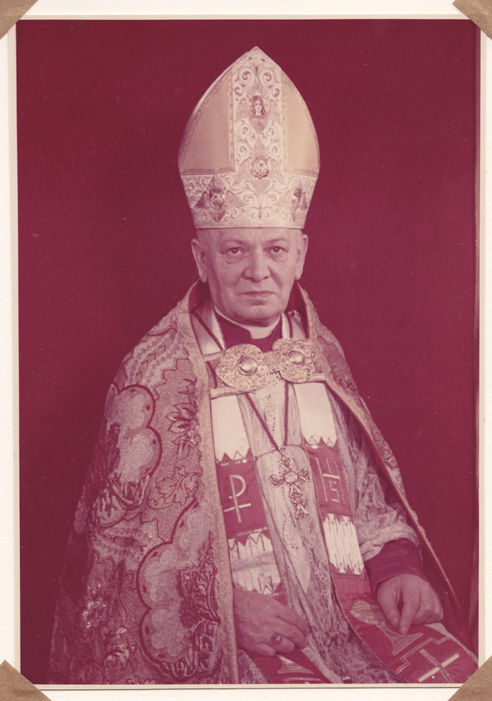
In 1945-1947, the Czechoslovak part of the Archdiocese of Wrocław was administered by František Onderek (1888-1962) as a special archiepiscopal commissioner. On 26 June 1947, an apostolic administration subordinate to the Vatican was created from this territory with its seat in Český Těšín. The aforementioned Onderek was placed at its head with full powers of a resident bishop except for the conferring of higher ordinations. The apostolic administration of Český Těšín was abolished on 30 December 1977 by Pope Paul VI. Its territory, then consisting of the deaneries of Frýdek, Jeseník, Karviná and Slezská Ostrava, was annexed to the Archdiocese of Olomouc.
Pope John Paul II established the Ostrava-Opava Diocese on 30 May 1996, with its seat in Ostrava. At the same time he appointed František Václav Lobkowicz as its bishop. The territory of the new diocese consists of the deaneries of Bílovec, Bruntál, Frýdek, Hlučín, Jeseník, Karviná, Krnov, Místek, Nový Jičín, Opava and Ostrava with a total of 276 parishes. The patron saint of the diocese is Saint Hedwig, who is also the patron saint of Silesia.
5.9 Changes in Church Administration in Silesia – Protestant Churches
The rich Reformation tradition of Silesia left indelible traces in the Těšín region despite recatholization. The Treaty of Altranstädt (1707) and the recession of Emperor Joseph I (1709) brought partial tolerance to the Silesian Protestants (Augsburg confession, Lutherans). In 1710-1723 a church of grace was built in Těšín. Evangelicals from the whole Těšín region and adjacent Upper Silesia belonged to this so-called Church of Jesus, the only one in Upper Silesia, until 1781. It was also visited by their secret confreres from Moravia and Bohemia. In 1749–1785 the Evangelical Consistory was located in Těšín.
Only the so-called Protestant patent of 8 April 1861 brought equality to the Protestants. In the years 1861–1914 a number of other Augsburg congregations were founded in Austrian Silesia (Bohumín, Bruntál, Frýdek, Jeseník, Krnov, Meziříčí u Bílska, Opava, Orlová, Skočov, Staré Hamry, Třinec, Vráclavek) and one Helvetic congregation (Spálené). Among the Silesian Protestants, German and Polish dominated.
During World War I, Czech congregations were convinced of the necessity to unite the Evangelical churches of the Augsburg and Helvetic (Reformed) confessions on a national basis with an appeal to the traditions of the Czech Reformation. In December 1918, the Evangelical Church of Czech Brethren was founded (hereinafter referred to as the ČCE), but the German and Polish congregations did not join it. Existing superintendencies and seniorities met with dissolution. Four ČCE congregations from Silesia (Český Těšín, Frýdek, Orlová, Staré Hamry) were part of the Moravian-Silesian Seniorate. The congregations in Český Těšín and Orlová were liquidated during the Polish annexation after Munich in 1938. They were restored after World War II. In addition, new congregations were established in Silesia, many of which took over the buildings of the dissolved German Evangelical Church. At present, the Moravian-Silesian Seniorate of the CCE consists of 25 congregations, in Silesia there are the congregations of Bruntál, Český Těšín, Frýdek-Místek, Javorník, Jeseník, Krnov, Odry, Opava, Orlová, Ostravice (until 1951 Staré Hamry), Šenov u Ostravy and Vítkov.
Most of the Protestants in the Těšín region after World War I claimed Polish nationality. On 20 December 1918, the Silesian Seniorate (Seniorat Śląski) was established, subordinate to the Consistory in Warsaw. At a meeting in Třinec on 16 August 1920, six congregations from the Czechoslovak part of Těšín (Bystřice, Dolní Bludovice, Komorní Lhotka, Návsí, Orlová, Třinec) formed the Augsburg Evangelical Church in Eastern Silesia in Czechoslovakia, which was recognized by the government only on 13 July 1923. In spite of the efforts to maintain the Polish national character of the church, the Polish, German and Czech nationalities clashed here. After Munich it joined the Evangelical-Augsburg Church in the Republic of Poland on 7 November 1938. Soon after the fall of Poland in September 1939, the congregations in the German-occupied territory of Těšín became part of the so-called Silesian Evangelical Church Province in Wrocław. It was a period of the Germanization of the Church and the persecution of Polish evangelical clergy and laity.
The first years after the liberation were characterized by a tendency to join the Augsburg congregations in Těšín to the ČCE. The councils, however, opposed this, consolidated and guaranteed equal rights to both Czechs and Poles. It was not until 19 May 1948 that the Augsburg Church was recognized by the state. In 1950, the Silesian Evangelical Church of the Augsburg Confession (SCEAV) adopted a new name, with a bishop and a seven-member church council headed by a bishop and headquartered in Český Těšín. Several new congregations were formed and the church was divided into two seniorates, the Upper (1969–1998) and the Lower (1969–1998).
A protracted intra-church conflict between the illegal revivalist Missionary Work movement and the communist regime-friendly leadership of the SCEAV resulted in the dismissal of the bishop and his deputy at an extraordinary synod in Třanovice in March 1991. However, they did not recognize the synod and initiated a schism. The followers of the former leadership eventually founded the Lutheran Evangelical Church in the Czech Republic (LECAV), which was registered on 19 January 1995. Its bishop has been based in Bystřice since 2000. There are currently five parish congregations within the LECAV (Český Těšín, Bystřice, Hrádek, Prague, Třinec). The SCEAV was divided in 1998 into five seniorates (Jablonec, Trinec, Frýdek, Těšín-Havířov, Ostrava-Karviná) with 21 congregations.
On 26 October 1919, German Protestants in the Czech lands formed the German Evangelical Church in Bohemia, Moravia and Silesia (Deutsche Evangelische Kirche in Böhmen, Mähren und Schlesien, hereinafter DEK). Its Silesian regional church community headed by a church council (elder) and a board of directors consisted of the parish congregations of Bohumín (Nový), Bruntál, Český Těšín, Frýdek, Holčovice, Jeseník, Krnov, Moravská Ostrava, Opava, Spálené and Vráclavek. The DEK effectively ceased to exist after the removal of the Germans. The fact was legally confirmed by the law of 6 May 1948, declaring the dissolution of the Church on 4 May 1945.
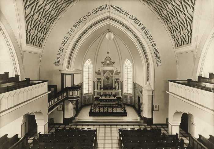
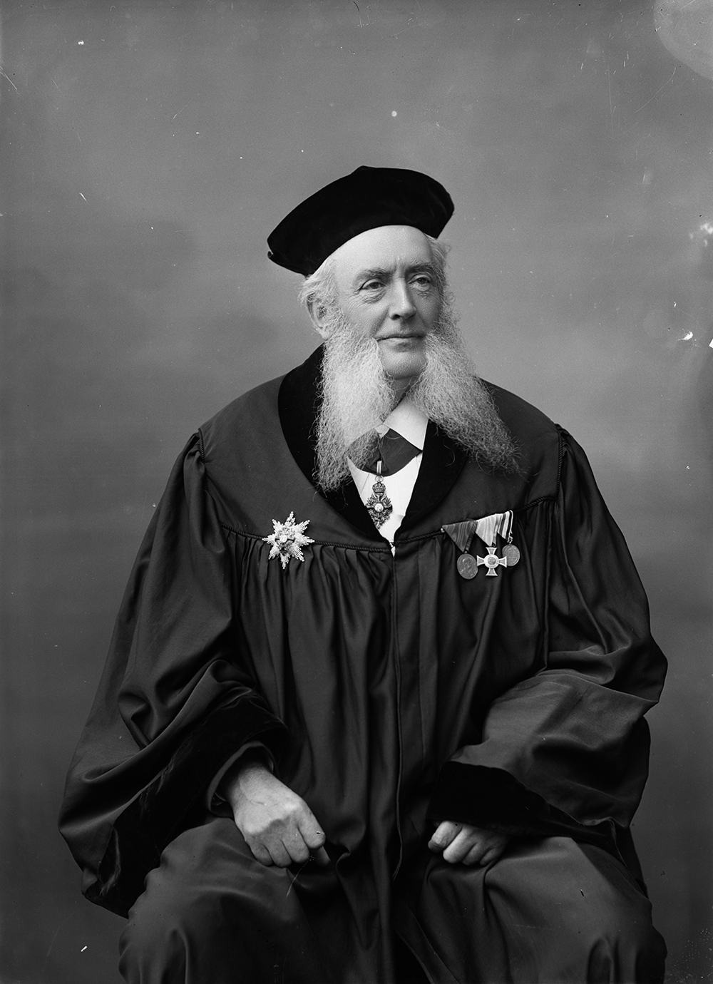
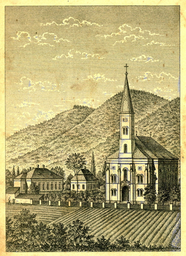
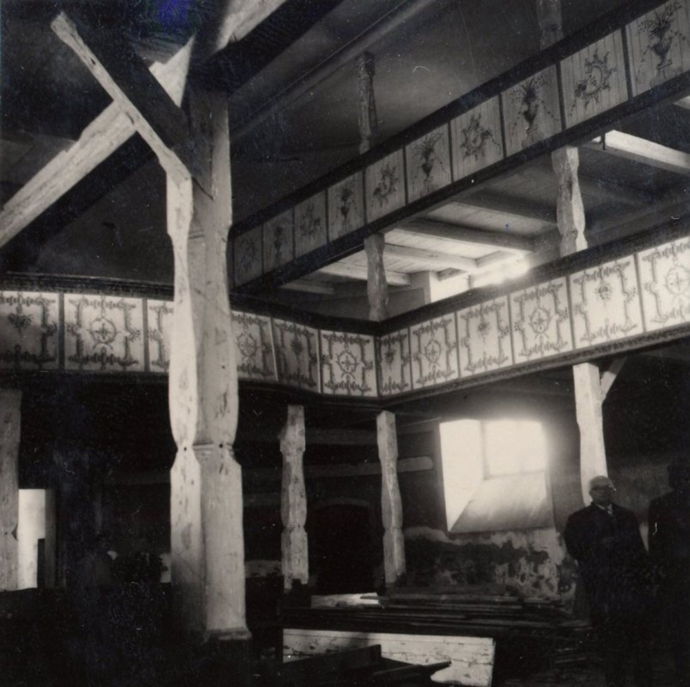
Among the small Protestant churches operating in Silesia today are the Seventh-day Adventist Church (with origins in Těšín in the first decade of the 20th century), the Christian congregations and the Apostolic Church, whose formal headquarters are located in Těšín. Within the two seniorates (called Těšínsko and North Moravia) the Silesian territory is administered by the Church of the
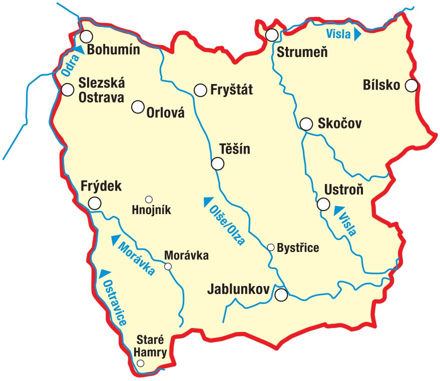
5.10 Changes in Church Administration in Silesia – Jews and Others
Since the Middle Ages, Jews have been the most distinct religious group in Silesia. On the basis of the toleration patent of Emperor Charles VI from 1713, Jews settled mainly in the Těšín region. On 17 April 1752, a patent of toleration was issued for Jews in Austrian Silesia, which protected 119 Jewish families, most of them (87) in the Těšín region. Despite many restrictions, the Jewish population grew. The toleration patent of Joseph II of 15 December 1781 guaranteed them the exercise of religion, but did not apply to synagogues and rabbis. It was not until 1847 that a rabbi was officially confirmed for the Těšín region.
The Constitution of the Czechoslovak Republic of 29 February 1920 guaranteed equal rights to the followers of Judaism. The umbrella body of the local Jewish religious community was the Union of Jewish religious communities in Silesia, the highest administrative unit in the Czech lands was the Supreme Council of Jewish religious communities in Bohemia, Moravia and Silesia from 1927. The number of Jewish religious communities in Silesia in the period of the First Republic was around 10 (in 1922, for example, in Český Těšín). The state cult administration had supervision over the Jewish religious community. The annexation of parts of Czech Silesia in the autumn of 1938 by Germany and Poland considerably worsened the position of this population. After the occupation of the rest of the Czech lands by Germany in March 1939, the anti-Semitic Nuremberg Laws began to be applied in the Protectorate. Gradually, synagogues and places of worship, cemeteries and other buildings owned by the Jewish religious community were attacked and publicly closed. Only a few Silesian followers of Judaism survived the Nazi genocide. After World War II, only the Ostrava congregation and several synagogue congregations in some Silesian towns (Bohumín, Český Těšín, Krnov, Opava, Orlová) were restored, but most of them gradually disappeared. Jews from Czech Silesia today fall under the religious administration of the Jewish Community of Olomouc (Bruntál and Jeseník districts) and Ostrava (all others).
The Czechoslovak Hussite Church. Of the other major Christian churches, the Church of Czechoslovakia (CČS, since 1971 the Czechoslovak Hussite Church) left a significant mark on the religious profile of Czech Silesia in the 20th century. Part of the Czech Roman Catholic clergy had been demanding the modernization of the Church since the mid-19th century. These tendencies and ideas became stronger after the establishment of the Czechoslovak Republic, and their carrier was the Club of Reformed Priests. In January 1920, the CČS was formed with a national and reformist ideological content. It also found numerous supporters in Silesia, especially in the political districts of Frýdek-Venkov and Fryštát and in the adjacent part of Moravia. Radvanice, where the first ever CČS religious community was founded on 15 January 1920 by the former Catholic parish priest Ferdinand Stibor (1869-1956), became part of the history of the CČS. From 1922 Radvanice was also the seat of the Ostrava diocese of the CČS and Stibor bishop. From the 1920s, the meadow near Winkler's Bell Tower in Staré Hamry (since 1951 the cadastre of the municipality of Ostravice), where the Hus Chapel was built in 1937, played the role of a diocesan pilgrimage site. After Munich 1938, several religious communities in Czech Silesia attained ceded territory, mostly they were liquidated and their members persecuted.
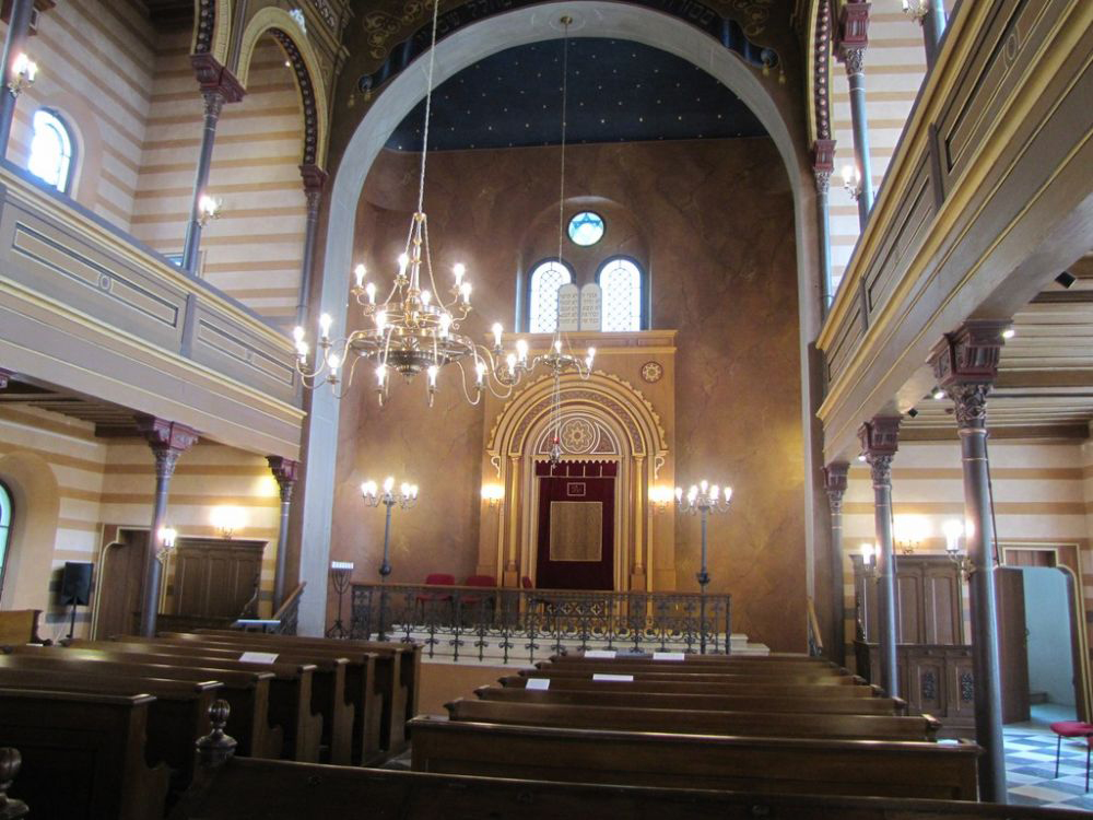
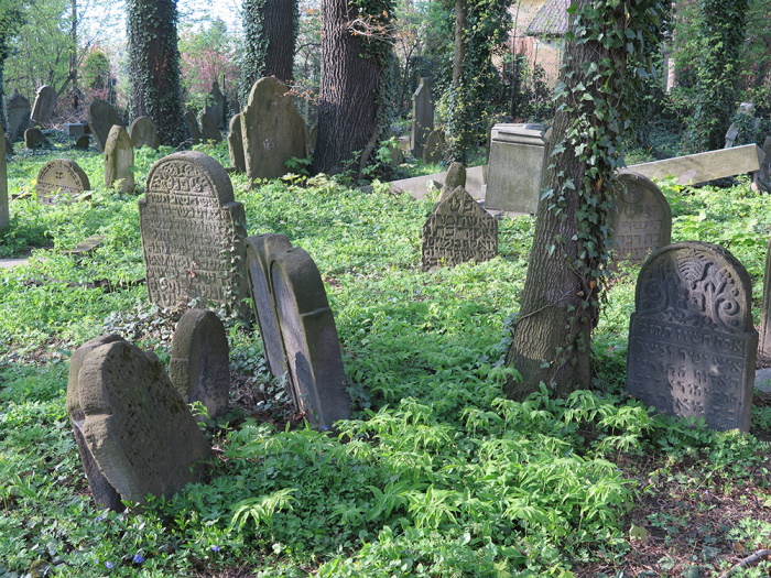
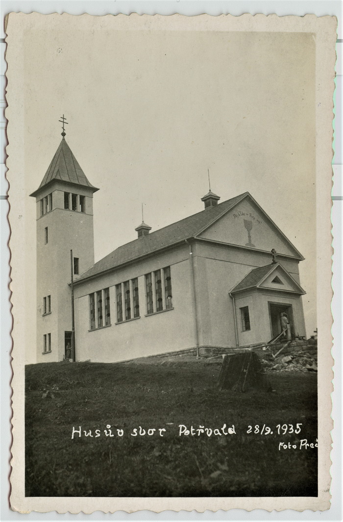
In 1950, the CČS was divided into six dioceses. The Ostrava (Silesian) diocese consisted of three districts (Ostrava, Orlová, Svinov). In 1962, the Olomouc and Ostrava dioceses were merged into one, which has been called the Olomouc diocese since 1963. Within the Olomouc Diocese, the religious communities of Bruntál, Frýdek-Místek, Jeseník, Karviná, Krnov, Opava, Orlová-Doubrava, Ostrava-Heřmanice, Ostrava - Moravská and Slezská Ostrava, Ostrava-Michálkovice, Ostrava-Polanka, Ostrava-Radvanice, Ostrava-Svinov, Petřvald, Rychvald, Studénka and Vratimov.
Old Catholic Church. It arose in the German milieu out of a movement of resistance to the dogma of papal infallibility proclaimed at the First Vatican Council in 1870. Before World War I, Old Catholicism did not penetrate the area of today's Czech Silesia to such an extent that it created the need for an organizational structure. However, the Old Catholic community was more numerous in Bohumín. It was not until 1925 that an independent religious community was established in Jeseník (it disappeared in 1945). Since 2005 there has been an active Old Catholic diaspora in Český Těšín under the patronage of the parish in Šumperk, now an independent parish.
5.11 Printed Media as Carriers of Silesian Identity
Print media – books and periodicals – as a specific type of information carrier and a widespread platform for maintaining and shaping the perception of the geographical/local affiliation of their readers, began to develop in the region in the second half of the 18th century. Until the middle of the following century, however, only a few titles were published, and then only in German. The publishing boom occurred after the promulgation of the Press Act in 1862. In the following decades, various thematically and politically oriented publications began to be published not only in German, but also in Czech and Polish in order to be accessible to the population of all nationalities. The liberal approach during the First Republic led to a further increase in the number of titles published. In 1938–1945 the Czech and then Polish press was banned, and after World War II German periodicals ceased to be published. After a brief loosening of the situation in 1945–1948, a number of restrictive measures were in force during the communist regime, especially press censorship. However, some periodicals are still published today and, in addition to digital media, try to follow the traditional approach of maintaining Silesian identity by publishing articles with a regional or historical-land theme.
The development of Polish national consciousness was connected with the creation of the magazine Tygodnik Cieszyński in 1848, which was published three years later under the editorship of Paweł Stalmach as Gwiazdka Cieszyńska (1851–1939). In Těšín, Fryštát and Ostrava, a number of political, business, religious and association periodicals were published, among them e.g. Nowy Czas (1877–1927), Rolnik Śląski (1885–1939), Kresowiec (1896–1903), Głos Ludu Śląskiego (1897–1931), Dziennik Cieszyński (1906–1935), Ślązak (1909–1923), Poseł Ewangelicki (1910–1938) and Głos Robotniczy (1920–1938). A significant decline of the Polish press came with the beginning of World War II; after liberation most of the titles could not be restored. Among the recent periodicals dedicated to the Polish minority living in Těšín, we should mention Głos Ludu (from 1945, since 2018 only Głos) and Zwrot (since 1949).
The first attempts to publish a Czech-language periodical date back to 1846, when in Hlučín there was published the monthly magazine Holubice (Dove). The first regularly published Czech magazine aimed at strengthening the national consciousness of the Silesian people was Opavský besedník (Opava Dictionary) (1861–1865). After its forced demise, the Opavský týdeník (Opava Weekly) (1870–1913) was founded, which became a publishing platform for many Czech secondary school teachers and nationally oriented intellectuals. A similar function was fulfilled in the eastern part of Austrian Silesia by the Těšínské Noviny (Silesian Newspaper Těšín) (1894–1919), in which, among others, Vincenc Prasek, Josef Zukal and František Sláma published. Political periodicals included Naše Slezsko (Our Silesia) (1910–1937), Slezské slovo (The Silesian Word) (1911–1918), Slezský venkov (The Silesian Countryside) (1912–1916, 1919–1920), Opavan (1919–1928), Svobodná republika (The Free Republic) (1920–1938), etc. The turbulent development of the Ostrava agglomeration at the end of the 19th century led to the establishment of several dozen newspapers. In Moravská Ostrava, Vítkovice and Přívoz, newspapers were published especially for workers – Přítel dělníků (The Workers' Friend) (1883–1894), Práce (The Labour) (1891–1898), Zájmy dělnictva (The Interests of the Workers) (1894–1897), Ostravice (1893–1897), Duch času (The Spirit of the Times) (1899–1938), Ostravan (1901–1912), etc. These were later replaced by the newspapers České slovo (The Czech Word) (1929–1945), Ostravský večerník (The Ostrava Evening Post) (1900–1941) and Ostravský kraj (The Ostrava Region). After the war, regional versions of national newspapers with specials focused on individual settlement areas (e.g. Bruntálský region, Krnovské noviny, Region Karvinsko, Hlasy Havířova, etc.) (The Bruntal Region, The Krnov News, The Karvina Region, The Voices of Haviřova) became established in the region.
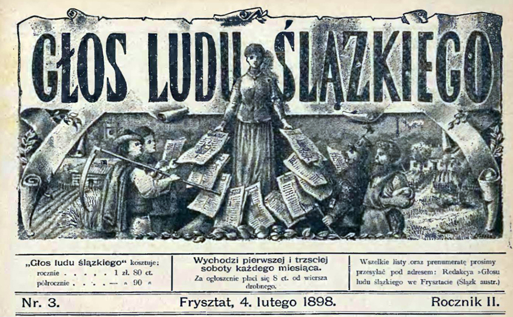
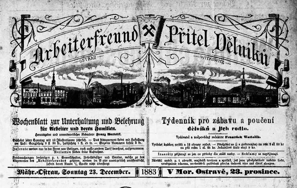
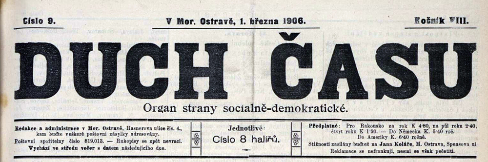
Since the second half of the 19th century, the development of history as a scientific discipline has contributed to the consolidation of Silesian identity at the provincial and local level and to the reflection of one's own past in relation to the historical land. In addition to monographs of individual historical regions of Austrian Silesia and its immediate Moravian surroundings (from the pens of Gottlieb Biermann, Anton Peter, Karl Knaflitsch, J. Zukal, V. Prasek, Franciszek Popiołek, Józef Londzin, Alois Adamus, etc.), several professional periodicals were founded, some of which are still published today – e.g. Věstník Matice Opavské (Bulletin of the Opava Matice) (from 1878, since 1936 as the Slezský sborník (The Silesian Proceedings)), Zeitschrift für Geschichte und Kulturgeschichte Österreichisch-Schlesiens (1905–1933) and Zaranie Śląskie (from 1907). The recent professional and local history periodicals include Časopis Slezského zemského muzea (Journal of the Silesian Museum) (since 1951), Těšínsko (since 1957) and Vlastivědné listy Slezska (Homeland Letters of Silesia) (since 1975). Identity with the home region among the descendants of displaced Germans is strengthened by associations and organizations founded in their centers in Germany, which also publish their own periodicals, such as the monthly Troppauer Heimat-Chronik or Jägerndorfer Heimatbrief (both from 1949).
5.12 Czech Emancipation
A Czech Child in a Czech School! These words sound obvious to us today, but in the second half of the 19th century they were a key demand of Czech national activists working in the multiethnic region of Czech Silesia.
The idea of national sovereignty was adopted in Silesia at the time of the Spring of Nations by representatives of the German, Czech and Polish intelligentsia. We consider the political struggle of Czech and Polish activists for linguistic equality and the right of minorities to education in their mother tongue to be a direct echo of the ideals of the revolutionary ferment of 1848/1849. Compared to the Polish emancipation in the region, the Czech one did not reach such intensity in the revolutionary years of 1848 and 1849; it was represented by Jan Kozánek, a lawyer and journalist working in Opava. The onset of political reaction dealt a blow to the efforts leading to linguistic equality in the country, namely Decree No. 13470 of 3 November 1851. German became the official language of the state administration and the judiciary; Czech and Polish lost their status as provincial languages in the Duchy of Upper and Lower Silesia. The Pandora's box of ethnic antagonisms in a multiethnic society has slowly begun to open: language in both written and communicative form became the key.
Czech national activists considered enacted linguistic inequality contrary to the ideals of the emerging modern civil society. During the 1860s, they mobilized their forces and convened (Antonín Gruda, Kazimír Tomášek and professor Antonín Vašek) a manifesto meeting at Ostrá hůrka near Chabičov on 12 September 1869, at which the pillars of the Czech political program in the country were presented: the education of children and youth in their mother tongue, the publishing of the Czech press, the establishment of libraries, support for social activities, the establishment of economic units and monetary institutions. The adopted resolution was the result of many years of work of the Czech deputies at the Provincial Assembly, JUDr. František Stratil, Věnceslav Hrubý and Petr Foltys.
The map shows key milestones in the implementation of Czech emancipation efforts in Czech Silesia. The establishment of grammar schools with Czech as the language of instruction became a priority to prepare the future Czech intelligentsia for university studies. The Ministry of Cult and Education listened to the requests of the Czech activists and granted them permission to open in Opava in 1883 private lower secondary school with Czech as the language of instruction. The nationalization of the grammar school in 1897 was a symbolic victory in the field of Czech national education, as was the establishment of the realschule grammar school in Orlová (1894). The grammar schools and the teachers’ institute in Ostrava relied on the network of Czech municipal schools in the country, which existed only thanks to the indomitable efforts of school associations and nationally conscious individuals who were at their birth and supported them in various ways, whether by political by lobbying at the highest levels, financial donations, or even by selling off land to a Czech school association, as in Frýdek in 1900.
The emancipatory efforts of the national activists would not have been successful if they had not succeeded in reaching out to the widest possible strata of the population through the Czech periodical press, containing news and commentary written not only in a language but also in a style understandable to the reader in a rural cottage or workers’ colony. Literary literacy and knowledge of the Czech language were spread among the people by popular calendars containing various lessons and advice, leisure reading and leisure activities such as crossword puzzles. The holding of services in the Czech language and the possibility of singing from Czech canticles should also not be neglected.
Associations played an important role in the emancipation process, not only the so-called defense associations and economic associations, i.e. the flagships of the national activists, but also the reading clubs, singing societies, amateur theater and the Sokol unions founded in the villages at the beginning of the
20th century. More than one demonstration in the country was sponsored by associations and organized by their members. Important places of these gatherings became memorial sites and monuments were built on them, which remind us of the Czech emancipation efforts to this day.

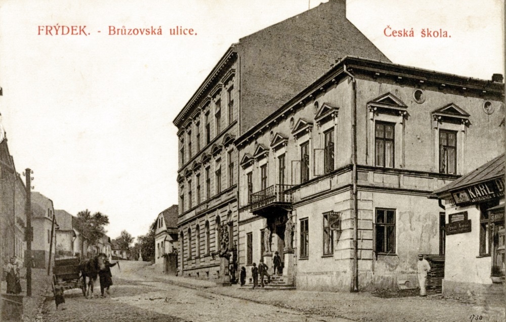
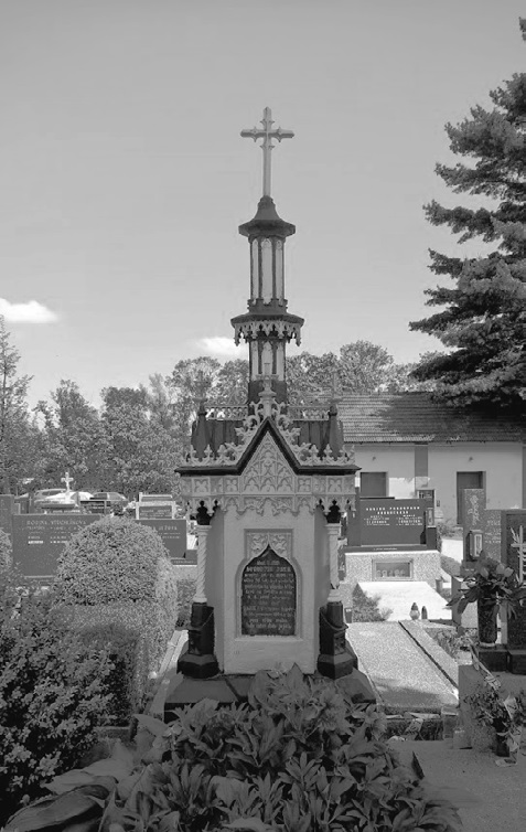
We consider the decree of the Silesian Provincial Assembly of 7 January 1908, by which Czech and Polish were recognized as the common languages of the country, to be a fundamental outcome of Czech emancipation efforts. The Czech language gained linguistic equality only after the proclamation of the Czechoslovak Republic. This period can be considered the culmination of Czech emancipatory efforts in the region.
5.13 Polish Emancipation
Of great importance for the Polish emancipation were the Polish newspapers, which began to be published in the mid-19th century – Tygodnik Cieszyński and Gwiazdka Cieszyńska, later followed by the Protestant Przyjaciel ludu and Głos Ludu Śląskiego saw light at the end of the 19th century. At about the same time, it was possible to establish a grammar school with Polish as the language of instruction in Těšín and then in Orlová. There were also a large number of federal organizations that strengthened Polish nationality and feelings.
„But we know that we are Silesians, part of the Polish nation…“
B
etween 1848 and 1918, the eastern part of Austrian Silesia was a multiethnic region with Czech, German, Polish and Jewish ethnic groups according to today's nationality criteria. At the turn of the 19th and 20th centuries ordinary people usually considered themselves Silesians (Ślązacy/Schlesier), Opening page of the first issue of Tygodnik Cieszyński of 6 May 1848 whether they spoke Czech, German, Polish, or regional dialects. Ideas of national consciousness were sown among them mainly by representatives of the intelligentsia through the press, national schools and association activities.
Cieszyn (Cieszyn/Teschen) became the regional center of Polish journalism. The first issue of Tygodnik Cieszyński: Pismo poświęcone dla ludu wiejskiego, tygodnik społ.-oświat. was published on 6 May 1948. In the spring of 1851, it was replaced by Gwiazdka Cieszyńska, which for decades played a key role in spreading the ideas of the Polish emancipation movement in the region. We consider Návsí, where the evangelical pastor Franciszek Michejda worked, to have been an extremely important center of Polish journalism: Pismo evangelickie (1885) strengthened the ethnicity of Polish-speaking evangelicals to the Polish national community. The society of Polish-speaking Silesians along with the Polish nation was also strengthened by Głos Ludu Śląskiego (1897), which was published in Fryštát by the Polish activist Franciszek Friedel. However, in the statutory city of Bílsko, Polish periodicals established themselves in a complex way. Even Równość, the political organ of the Polish Social Democrats, was published here only briefly at the end of the 19th century, despite the fact that it had 3,000 subscribers in 1899.
The long-standing efforts of Polish activists to establish grammar schools with Polish as the language of instruction were fulfilled at the end of the 19th century, first in Těšín and then in Orlová. The opening of a teacher's institute in Těšín with Polish as the language of instruction, which prepared future teachers of municipal schools for the profession, was another success of the emancipation movement, which at the turn of the 19th and 20th centuries already had a solid base in the associations on whose shoulders the financing of national education often rested.
The autumn of 1918 was turbulent in the region, and the ideas of national activists of individual national communities about the future state legal order differed radically. The population identifying with the Polish nation demonstrated for the annexation of the territory to Poland in Orlová, Těšín and Bohumín. The ideas about the borders of the new Polish state formed either by the Olše or Ostravice Rivers were proclaimed.
(Voice of the Silesian People: Polish folklore)
Cieszyn (Cieszyn/Teschen) became the regional center of Polish journalism. The first issue of Tygodnik Cieszyński: Pismo poświęcone dla ludu wiejskiego, tygodnik społ.-oświat. was published on 6 May 1948. In the spring of 1851, it was replaced by Gwiazdka Cieszyńska, which for decades played a key role in spreading the ideas of the Polish emancipation movement in the region. We consider Návsí, where the evangelical pastor Franciszek Michejda worked, to have been an extremely important center of Polish journalism: Pismo evangelickie (1885) strengthened the ethnicity of Polish-speaking evangelicals to the Polish national community. The society of Polish-speaking Silesians along with the Polish nation was also strengthened by Głos Ludu Śląskiego (1897), which was published in Fryštát by the Polish activist Franciszek Friedel. However, in the statutory city of Bílsko, Polish periodicals established themselves in a complex way. Even Równość, the political organ of the Polish Social Democrats, was published here only briefly at the end of the 19th century, despite the fact that it had 3,000 subscribers in 1899.
The long-standing efforts of Polish activists to establish grammar schools with Polish as the language of instruction were fulfilled at the end of the 19th century, first in Těšín and then in Orlová. The opening of a teacher's institute in Těšín with Polish as the language of instruction, which prepared future teachers of municipal schools for the profession, was another success of the emancipation movement, which at the turn of the 19th and 20th centuries already had a solid base in the associations on whose shoulders the financing of national education often rested.
The autumn of 1918 was turbulent in the region, and the ideas of national activists of individual national communities about the future state legal order differed radically. The population identifying with the Polish nation demonstrated for the annexation of the territory to Poland in Orlová, Těšín and Bohumín. The ideas about the borders of the new Polish state formed either by the Olše or Ostravice Rivers were proclaimed.
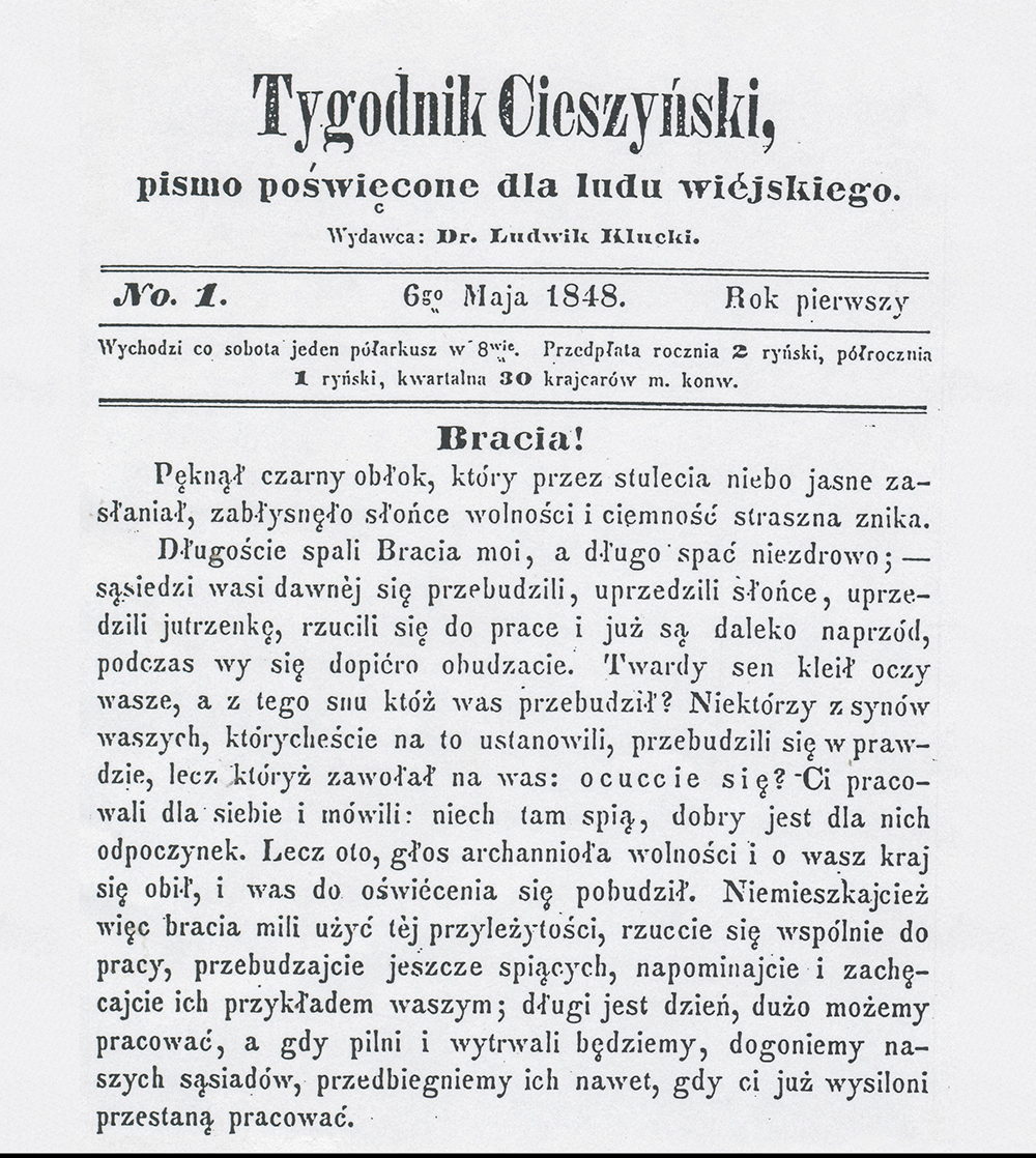
5.14 Castle culture
Despite more than half a century of devastation, Czech Silesia still has a large number of castle buildings. Only a few of them can be described as truly representative - most often they are solitary buildings similar to country villas, which served both residential purposes and the administrative needs of the estate. The predominantly rural character stems from the provincial nature of the historical social structure, which from the end of the 18th century onwards was characterised by a high proportion of smaller or medium-sized estates and only a small number of large estate complexes.
In the second half of the 17th and the first half of the 18th centuries, a number of Silesian chateaus were built or rebuilt in the Baroque style and retained this form in many subsequent centuries (Bílovec, Hošťálkovy, Linhartovy, Melč, Ropice, Velké Heraltice). The castles in Kravaře and Linhartovy as well as the now defunct castles in Hrabyně and Odry are examples of the reception of the High Baroque architecture of the Viennese court circuit. This was typical of many Aristocratic settlements in Bohemia and Moravia, but not in Silesia. Major late Baroque reconstructions arose in Silesian Rudoltice, Bruntál and Velké Hoštice.
The Renaissance and Baroque layers were significantly overlaid or supplemented only in the Classical and Empire periods, respectively Biedermeier, followed by the historicizing styles of the 19th century (Hošťálkovy, Kyjovice, Melč, Oldřišov, Orlová, Ropice, a number of smaller buildings in the Javorník-Vidnavský-Zlatohorské border region). Exceptional but very valuable adaptations in the spirit of courtly Palladian neoclassicism (sometimes inaccurately called "Silesian Empire") are illustrated by residences in Hnojník, Konská and Chotěbuz. Certainly due to the capital weakness of most of the local nobility, new residences were rarely built from the mid-18th century onwards. Among the late Baroque and Classical villages were Dubová, Hlavnice, Neplachovice, Orlová, Prostřední Bludovice, Prstná, Studénka (new castle), Šilheřovice and Štemplovec.
The appearance of castle buildings in the 18th and 19th centuries was fundamentally influenced by the residential strategy of their owners. The Habsburgs of Těšín, the Liechtensteins of Opava-Krnov and the Wilczek family, as holders of the largest land domains, visited their estates only rarely and their main castle residences (Frýdek, Krnov, Opava, Klimkovice, Poruba) served the needs of managing large estates or industrial business, occasional seasonal stays or in-specie trips. The representative castle in Šilheřovice was also used only seasonally by the Rothschild Viennese bankers. The Larisch-Mönnich family, on the other hand, never broke their ties with the Těšín region despite their activities at court. Their original residence was the chateau in Karviná, which was replaced by the chateau in Fryštát at the end of the 18th century; both chateaus were rebuilt in a classical style. The distinctive reconstruction of Fryštát demonstrates the unique contact with the courtly artistic environment. Silesian chateau architecture was also significantly enriched by the Lichnov family of Voštice, who invested in several adaptations of the chateau and its outbuildings in Hradec nad Moravicí from the late 18th to the early 20th century, and the Blüchers of Wahlstatt in Raduň did likewise.
At the end of the 19th century, the Razumovsky residences in Dolní Životice and Melč were modernized. The neglected chateau in Bruntál was rebuilt in the late Baroque style by German knights, and the Renaissance castle/chateau was eventually transformed into a more comfortable residence by Jánský Vrch, for some time the permanent residence of the bishops of Wrocław. In the metropolises of the historical Silesian principalities, the nobility built their urban palaces only rarely, and if they needed to, they preferred to own classical houses (until the middle of 19th century they were free, stately homes) or renting apartments in townhouses. In the territory of today's Czech Silesia, real town palaces were built only in Opava (the Blücher and Sobek palaces among a number of stately homes on today's Masaryk Avenue, the Razumovsky suburban exhibition palace at the end of the 19th century) and in Bohumín (the Gusnars of Komor, the classical reconstruction by Countess Rudnicka).
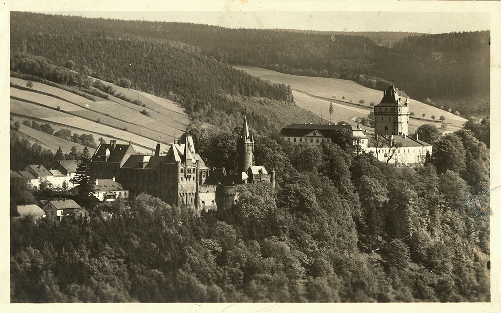
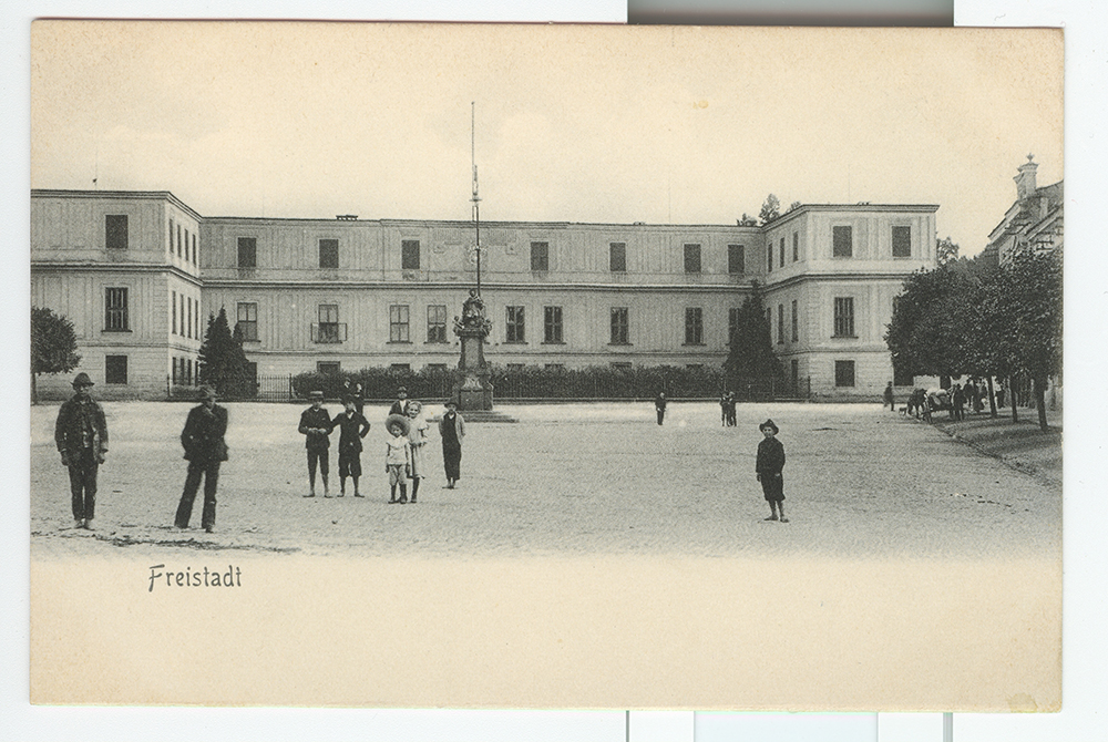
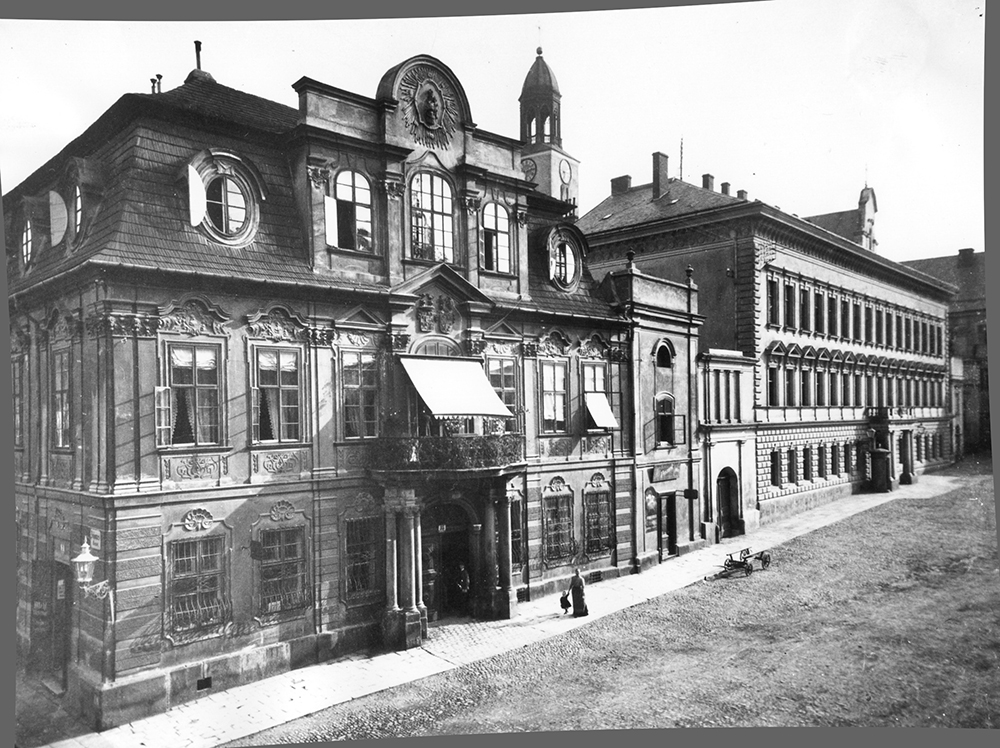
After the establishment of Czechoslovakia, the state confiscated the Habsburg estates in Těšín. The subsequent land reform reduced the size of the estates, but left the castles with their farm facilities and parks in the hands of the owners. The fateful turning point came with the end of World War II. Many owners left their estates before the arrival of the Red Army and went into exile. Some of the buildings suffered severely during the passage of the front through Osoblaha region and during the Ostrava-Opava operation; the severely damaged Dobroslavice, Hrabyně, Třebovice were subsequently demolished. Many castles were looted immediately after the liberation, many owners displaced to Germany because of their German nationality. The state confiscation of large estates completed the demise of private castle ownership. The expropriated castles were used by agricultural, forestry and industrial enterprises and unified agricultural cooperatives or served as state social and educational facilities. The buildings were adapted to new purposes in an insensitive manner, suffered from a lack of adequate care and went into decay, some eventually succumbing to ruin or were deliberately demolished, such as the burnt-out Baroque jewel in Odry. Great losses occurred in the Těšín region, where the exhibition buildings in Karviná, Orlová, Ráj and Solka disappeared, as did a number of small castle buildings. Along with the castle buildings, the adjacent parks were also severely damaged or even destroyed. Only a few reconstructed representative buildings (Bruntál, Hradec nad Moravicí, Jánský Vrch, Raduň) equipped with their own or transported furniture were made accessible to the public. Paradoxically, the period of restitution after 1989 was fatal for many other chateaus (Kunčice in Ostrava); many of them continued to decay and are still decaying (Deštné), only a few of them have been saved and revitalized thanks to the interest of municipalities and private entities (Rychvald, Ropice, Štáblovice) or even opened to the public (Fryštát, Hošťálkovy, Neplachovice, Slezské Rudoltice).
5.15 Traces of Nobility in Cultural, Social and Economic Development
Thanks to the activities of their owners, noble residences became important local centers of cultural and intellectual life, as well as the administrative and economic center of the patrimony. The owners of castle buildings retained much of their influence on cultural, spiritual, educational and other institutions even after the end of the estates' social system in the mid-19th century. The close association of the nobility with their immediate surroundings is still reflected in a number of surviving material monuments, often bearing the heraldic symbolism of their founders and supporters.
From the 17th century, the adjacent park with small architectural objects (fountains, orangeries, arbours) and solitary sculptural decoration became part of the castle's estates. Kravaře, Melč and Slezské Rudoltice are examples of Baroque parks. Since the turn of the 18th and 19th centuries, many parks have acquired a natural-landscape character in the English style (Hradec n. M., Karviná-Fryštát, Šilheřovice).
In the immediate vicinity of the castle settlements, economic facilities were built with granaries, barns, breweries, gardens and orchards, stables, sheepfolds and smaller industrial buildings. The nobility also established solitary manors with adjacent settlements (the model farm of the Rothschilds on the site of the original sheepfold in Paseke, Šilheřovice estate). During the establishment of large landed domains, many castles lost their original residential function and served the needs of the manor or estate administration. The owners' lack of interest in these buildings could have had fatal consequences: for example, the dilapidated Larisch-Mönnich Castle in Šenov was dismantled in 1927, and the undermined castle of the Wilczek counts in Silesian Ostrava turned into ruins at the same time due to mining influences.
Horse breeding was related to the aristocratic economy and the presentation of the lifestyle. The unique combination of both aspects is represented by the so-called Red Chateau in Hradec nad Moravicí, built by the Lichnovskis in the second half of the 19th century as a chateau farm, including stables. The local names that still exist today are indicative of the upper-class business: new courts and settlements were named after the first or last name of the founder; the well-known spa resort of Karlova Studánka has therefore been named in honour of Archduke Karl Ludvík, Grand Master of the Order of German Knights and holder of the Bruntál estate, since 1803; the Archduke's name is also reflected in the name of nearby Ludvík.
Often the extensive forest holdings provided an opportunity to represent the wealth and social status of the noble holders. The buildings of the forest administrations, groves and hunting lodges of the individual ranges were built in the "alpine" style, later they were designed in the spirit of modernist architecture of the turn of the 19th and 20th centuries (especially the Lichnovsky family). To present the builders, the facades or gables of these buildings were decorated with family coats of arms. In the case of large estates, forestry may have been associated with the hunting pastimes of their owners. A large game-preserve, originally located at the castle in Hradec nad Moravicí, became the basis of the local English castle park. The Rothschilds' castle complex in Šilheřovice still includes a hunting lodge with pens for hunting dogs. The Rothschilds also founded a pheasantry, which together with the grove house replaced the original forest administration center (Anna's Court).
The family heraldry was widely used in the decoration of the exteriors and interiors of the patronage churches, whose construction was fully or partially financed by the owners of the estate (Taaffe in Dolní Lutyně, the Pražmas of Bílkov in Frýdek, the Razumovsky family in Dolní Životice). The coats of arms of the funders bear many solitary statues of saints and divine torments. They were also part of the gate fronts of former farm and industrial buildings (the Wilczek family - Heřmanice, Hrušov, Svinov or Klimkovice; the Rothschild family - Anselm mine, Petřkovice, Habsburg family - Sedliště). The heraldic figures or emblems extracted from them emphasized the authority of the boundary stones, such as the boundary marker on the top of Praděd, where the boundaries of the Silesian estates of Frývaldov (today Jeseník) of the Bishops of Wrocław and Bruntál of the Order of German Knights met with the Moravian domain of the Counts of Žerotín Vízmberk (today Loučná nad Desnou).
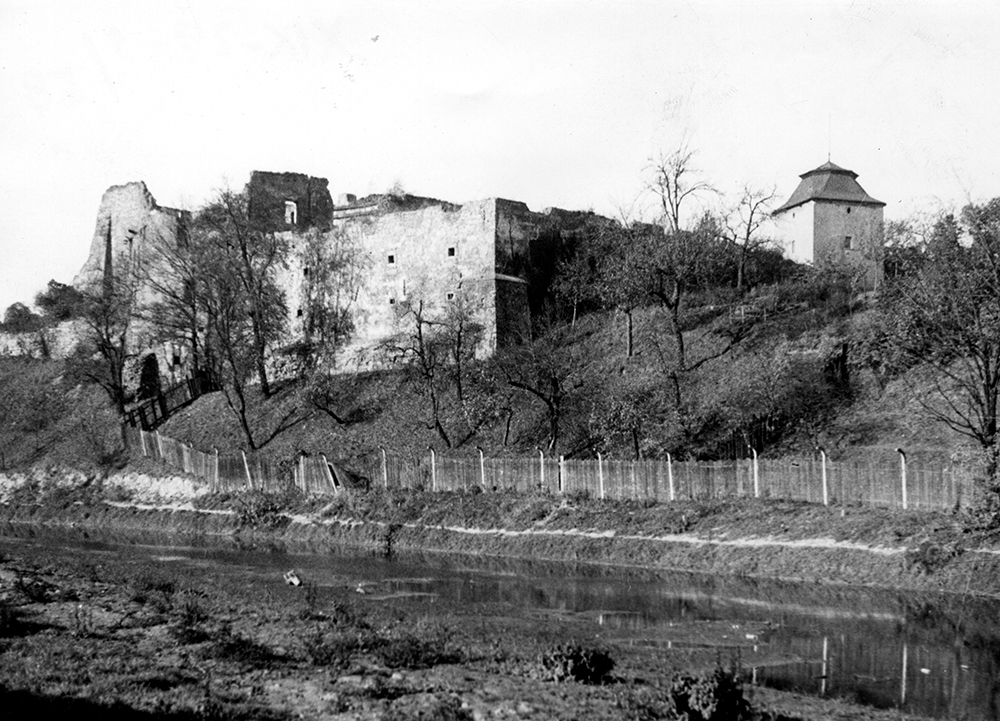
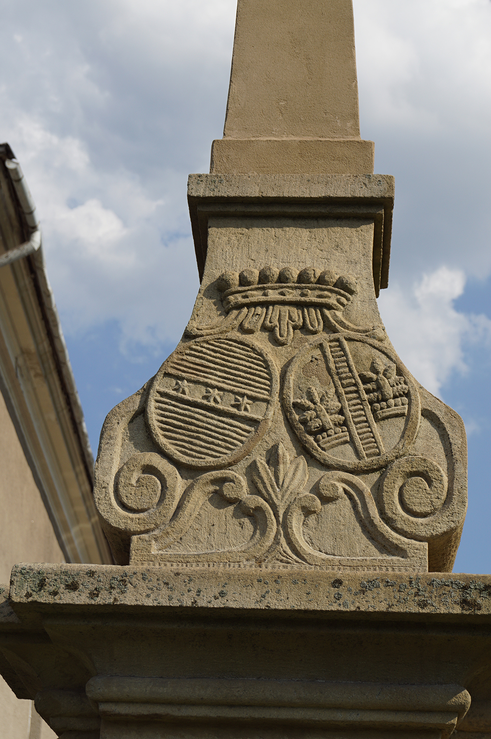
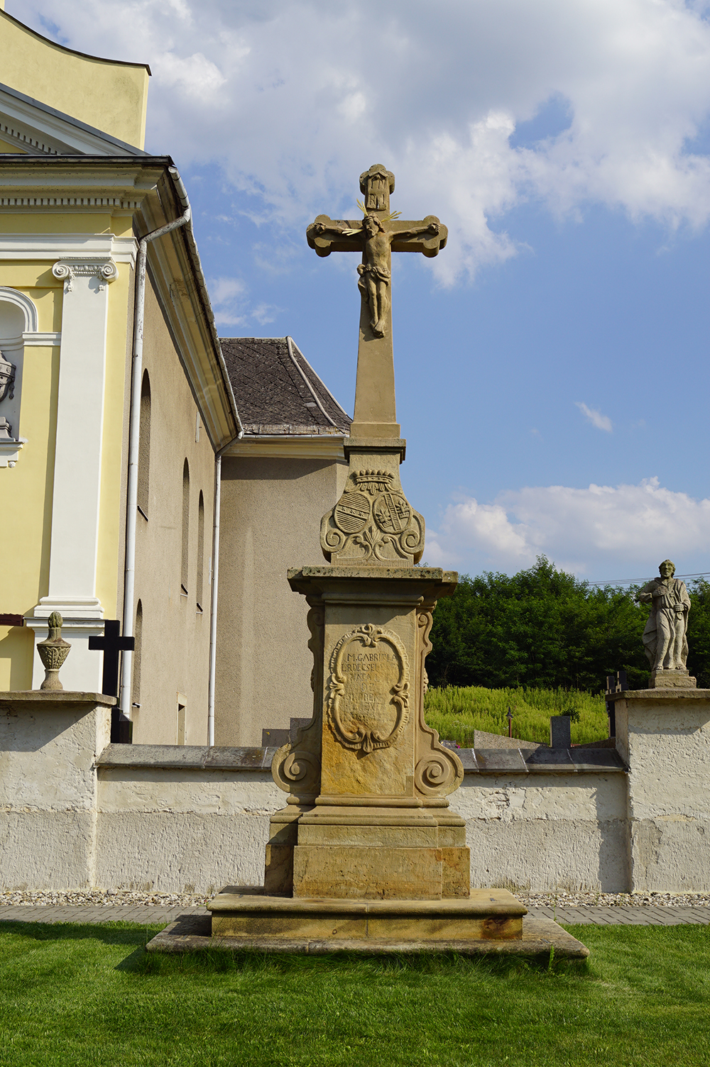
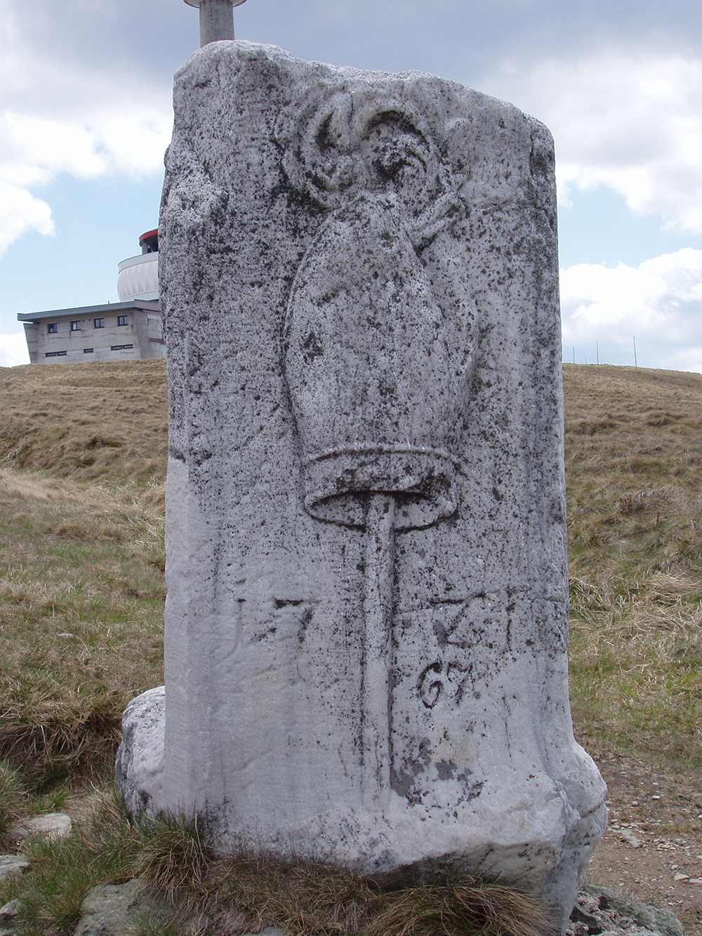
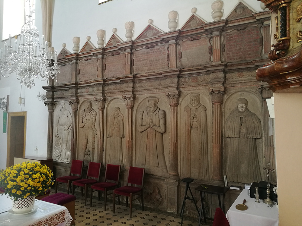
Until the end of the 18th century, noblemen were mostly buried in family tombs in the crypts of patron churches and chapels. The places of burial for their remains were marked by stone tombstones, gravestones or epitaphs, which were provided with figural or heraldic decoration or a combination of both elements. Comprehensive sets of tombstones can be seen, for example, in Klimkovice (the Bzenc family from Markvar- tovice and relatives) or in Šenov (the Skrbenskis from Hříště). The present location of many of these monuments is secondary, the relocation occurring in the 19th and 20th centuries. Only rarely were separate family mausoleums built, such as the Wilczek funeral chapel at the parish church in Klimkovice. The Josephine reforms put an end to burials inside church buildings and the nobility began to establish new burial necropolises in the form of separate tombs (the Bellegards in Velké Heraltice, the Larisch-Mönnichs in Fryštát) or paid places of honour by church or cemetery walls (the Razumovsky family in Radkov). These final resting places were most often equipped with inscriptional and heraldic tombstones or simple tombstones. Unique funerary buildings include the neo-gothic tomb of the Lichnovskis of Voštice from 1902-1903 in (then Prussian-Silesian) Chuchelné; the Larisch-Mönnich tomb in the form of an ancient temple in the castle park in Solka (now Karviná-Doly, 1916-1920, architect Leopold Bauer), which was demolished in 1986 due to undermining. Some members of the traditional and new nobility who worked in the army, state administration or municipal government were buried in the town cemeteries in Opava or Těšín.
5.16 Dispute Over Těšín 1918-1920
The Těšín region was a strategically important area due to its heavy industry and its location on the railway line connecting the Czech lands with Slovakia. Soon after World War I, this ethnically mixed area became the subject of a dispute between Czechoslovakia and Poland, which damaged diplomatic relations between the two countries for a long time.
The situation in the Těšín region had been escalating since the events of February 1919. Armed incidents on the demarcation line multiplied and a general strike in the mines broke out at the end of August. A serious problem was posed by the neutral zone, where the absence of security services led to an increase in crime and the spread of smallpox.
At the turn of the summer and autumn of 1919, the idea of solving the problem by plebiscite was born. In September, an international plebiscite commission was set up, with a Czechoslovak (in Moravská Ostrava) and a Polish (in Těšín) plebiscite commission. Other plebiscite bodies functioned at the level of districts and municipalities. On 2 February 1920, the International Plebiscite Commission took over the government of Silesia, whereupon it decided that the line established on 3 February 1919 would be maintained as an administrative boundary, with the neutral zone abolished. An eastern prefecture was created from the Polish district and a western prefecture from the Czech one. Their highest administrative officials were directly subordinated to the International Commission. In addition, the area of the former Karviná district governorate, which the inter-union plebiscite commission wanted to administer itself, was separated from the western prefecture through the newly established agreement administrative commission. By order of the International Plebiscite Commission, the troops of both rival parties were withdrawn beyond the borders of Těšín and replaced by French and Italian troops. The agreement soldiers, together with the gendarmerie, reporting directly to the international commission, were responsible for peace and order in the disputed territory.
At the time of the plebiscite preparations, the German and Jewish population, as well as the supporters of the autonomistm "Schlonzac" movement, predominantly supported the Czechoslovak party. In the German milieu, there were also considerations about the establishment of an international administration over Těšín.
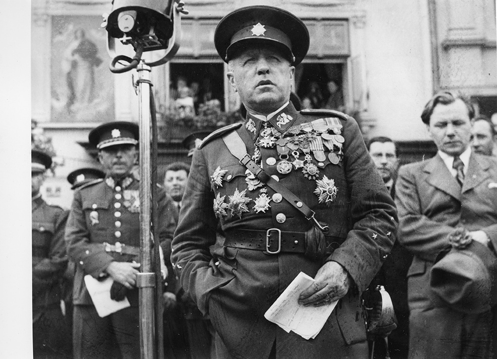
However, discussions about the date and form of the popular vote dragged on. The main point of contention was the Czechoslovak demand that only people who had been resident or had the right of domicile in the region before the outbreak of World War I should vote, thus excluding from the plebiscite war refugees from Halych who had settled in Těšín. Both parties tried to win as many voters as possible through propaganda, the promises of various benefits and other means. However, the lengthy preparations led to a surge in tensions and violence on both sides. In addition to frequent clashes between Czech and Polish residents during various meetings and demonstrations, citizens of Czech or Polish nationality were evicted from their apartments and jobs. Furthermore, the assassinations of public officials from both sides took place. Gendarmerie patrols and stations were also frequently targeted, especially in the spring of 1920. In Doubrava on 26 May and in Šumbark on 1 July 1920, the above-mentioned attacks caused casualties.
The fate of Těšín was finally decided by the ambassadorial conference in Spa and the subsequent Paris Protocol of 28 July 1920 under the influence of escalating tensions. Czechoslovakia received 56 % of the disputed territory, including most of the coalfield and the Košice-Bohumín railway. The new border basically followed the course of the Olše River, although it was shifted more to the east in some places. Specifically, the Czechoslovak side was given the districts of Frýdek, Bohumín, Slezská Ostrava and larger parts of the districts of Fryštát, Těšín and Jablunkov. The delimitation of the borders continued until the mid-1920s.
5.17 Interwar Hlučín Region
The Hlučín region (Hultschiner Ländchen) is a small area of 317 km2 located between Opava and Ostrava. Until 1920 it was part of Prussian Silesia as the southern part of the Ratiboř district. During the 180 years that it was part of Prussia, the population of Hlučín formed a pro-Prussian (pro-German) mindset and a strong Hohenzollern patriotism, although more than four-fifths of them claimed a Czech (Moravian) mother tongue. At the Paris Peace Conference, Czechoslovakia asked for the territory of the Ratiboř region, including the coal mines and salt mines in Rybnik.
In a memorandum written for the peace conference, the Czechoslovak Republic stated that it was asking for this territory primarily for economic reasons, but also for historical and ethnic ones. Czechoslovakia, however, received only the southern part of Ratiboř (since then called Hlučín), an economically backward agrarian area (except for two coal mines in Petřkovice and a flax processing factory in Chuchelná) with a large surplus of labor, which, due to the modernization of agriculture, had to look for work since the mid-19th century. In the early 19th century, the farmers, had to work elsewhere, mainly in the German part of the Silesian industrial area and in other parts of Germany, mainly as miners, bricklayers, peddlers and agricultural laborers. Several villages north of the new state border, where Czech (or Moravian dialect) was spoken predominantly, remained in Germany.
According to the Treaty of Versailles, the population of Hlučín could opt for Germany: the option period was set at two years from the date of entry into force of the treaty (10 January 1920) and a twelve-month period for eviction began from the date of the option declaration. Four and a half thousand people left the Hlučín region. A significant number of the optants moved barely a few kilometers away, namely to the then German northern Ratiboř region. If the relocated people found work in the Upper Silesian industrial area, while the Hlučín inhabitants were faced with a great lack of employment opportunities, which had multiplied during the economic crisis, not a few people must have asked themselves the same question: Why did the Republic want us if it had no work for us?
The population of the Hlučín region, even though they showed objective signs of Czech ethnicity and spoke the Czech dialect, did not consider themselves Czechs and did not like them. The religious question (strong religiosity in the Hlučín region) and the economic and linguistic question were the main fields of conflict, which were interrelated. Although Czechoslovakia did not like to see the residents from Hlučín working in Germany, as they were indoctrinated with anti-Czech ideology, it could not provide them with sufficient employment opportunities at home, even in times of boom (let alone during the Great Depression). For economic reasons, and probably also because of a certain defiance, a significant number of Hlučín residents were interested in having their children attend German schools. The Republic, however, abolished German municipal education in the Hlučín region (with the exception of the predominantly German municipalities of Sudice and Třebom) by "temporarily" abolishing the nationally valid legal regulations in the Hlučín region. When the protests of the population did not help, so-called home schooling in German (Privatunterricht) was introduced in several municipalities with the help of the German irredenta and financial support from Germany, i.e. some children did not attend public schools. With the ban on home education in 1936, the German organizations operating in the Hlučín region reacted by introducing tutoring in German following school hours.
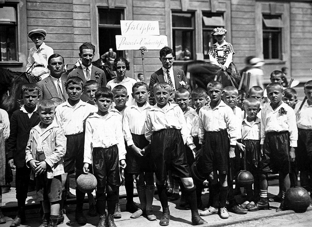
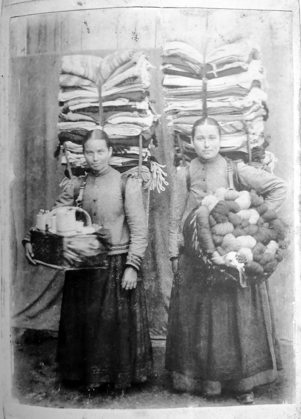
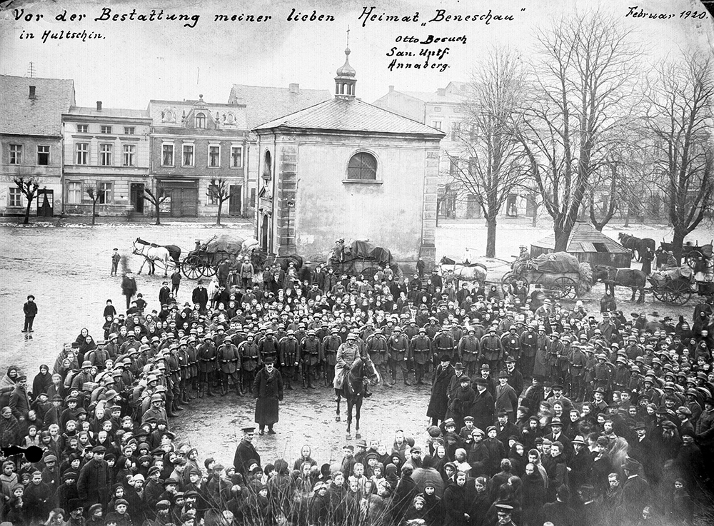
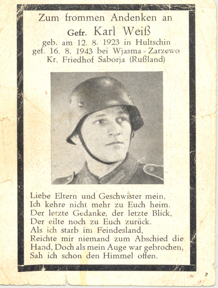
The census of 1921 and 1930 showed a clear predominance of Czech (Moravian) nationality in the Hlučín region, but it should be noted that the state power, which was interested in achieving the most "appropriate" numbers to prove the Czech character of the territory in relation to foreigners (i.e. the legitimacy of the claim to Hlučín), did not allow free registration based on the will of the person being counted. Thousands of people had their registered nationality officially corrected, even without the consent of the person enumerated, who could appeal, but whose appeal had no suspensive effect. In Bobrovniki, for example, only 165 of the 552 inhabitants declared their Moravian nationality in the 1921 census, and it was only on the basis of a correction procedure that the official result was 502 citizens of Czechoslovak nationality (91.6 %) and 46 citizens of German nationality. In Dolní Benešov, the proportion of German nationality was similarly reduced from 79 % to 12 %. It is not surprising, therefore, that according to the official census results published in the statistical manual in 1924, only 7,707 (16.3 %) Czechoslovakians were registered with German nationality. This was in stark contrast to the results achieved by the German political parties in municipal, provincial and parliamentary elections - for example, in the 1925 parliamentary elections, the German Christian Socialists won 51.7 % of the votes in the Hlučín district and the German political parties 61.9 %.
5.18 Czech Silesia (1938-1939)
During 1938, tensions in the border areas of Czechoslovakia with Germany and Poland escalated. The so-called Ostrava incident of 7 September, when Franz May, a member of the Sudeten German Party, was injured during a police crackdown on a demonstration, contributed to the escalation of the situation at the national level. The outbreak of the Henlein Uprising from on 12 September 1938, with armed clashes in the area of Czech Silesia, resulted in the most tragic events in Liptany and Vidnava.
During the autumn of 1938, the so-called Silesian resistance began to form among the Czech exiles from Těšín. These were several disparate groups fighting against the Polish administration in Těšín. After the occupation of Bohemia and Moravia, some of these illegal groups joined the fight against the Nazis, mainly by transferring soldiers to the nascent foreign army in Poland and other refugees.
In both German and Polish occupation, the vast majority of Czech parties, associations and schools were soon closed down. Monuments and memorials were also removed or destroyed, e.g. the monument to the fallen for Těšín in Orlová or the memorial to the resistance of the Silesian people at Ostrá hůrka in Opava. For pragmatic reasons, however, the German occupation administration had to make certain concessions to the Czech minority, which numbered almost 170,000 people in the so-called Government District of Opava (Regierungsbezirk Troppau). Therefore, Czech classrooms were eventually allowed to function in schools, but Czech textbooks were not allowed to be used. On 4 December 1938, by-elections to the Reichstag were held in the occupied borderlands, in which only votes were cast for or against the unified Nazi Party candidate. The resistance of the Czech population in the Opava region is evidenced by the fact that of the 27,000 votes against this candidate in the entire border region, more than 21,000 were from this region.
A specific situation arose in the Hlučín region, which after Munich was annexed directly to the Third Reich as part of the so-called Altreich. While the Czechs from the Opava Government District were not seen as full German citizens in practice, the men from Hlučín subject to conscription.
Many inhabitants of the Opava and Hlučín regions commuted to the Ostrava industrial agglomeration for work. These journeys enabled the smuggling of goods as well as the organization of resistance work. In November 1938, an underground group, Obrana Slezska (Defense of Silesia), was formed in Hlavnice in the Opava region, linked to the military and police structures in Moravian Ostrava.
In mid-March 1939, the Nazis occupied the rest of Bohemia and Moravia. The German army entered Ostrava on the evening of 14 March, before President Emil Hácha, under pressure in Berlin, gave his consent to the occupation. The reason for the hasty occupation of the region was the fear of the German generals that Poland might take advantage of the tense situation after the declaration of Slovak independence and occupy the industrial region. The hasty advance of the German troops resulted in a clash with the soldiers of the "Silesian" Infantry Regiment No. 8 in the Czajanek Barracks in Místek.
After the establishment of the Protectorate of Bohemia and Moravia, Ostrava became a center for the transfer of people to the foreign resistance in Poland, but also the scene of the German intelligence war against Poland. A rationing system was introduced and the nationalization of important industrial enterprises began.
The outbreak of World War II in the region was heralded by the so-called Jablonec Incident of 26 August 1939. On that day, the German attack on Poland was to begin, which Hitler postponed to the last minute until 1 September. However, a German diversionary force, which did not receive the news of the postponement in time, set out from Slovak territory to occupy the railway tunnels near Jablunkov. Germany had to apologize for the case. Already on 1 September, however, the invasion of Těšín really began, which the German army quickly occupied. In some villages, Czech inhabitants welcomed the German soldiers, believing that after the abolition of the Polish administration, Czech schools and associations would be restored. Instead, the territory was incorporated into the Reich's province of Upper Silesia, where both the Czech and Polish populations faced severe Germanization pressure. In the first phase of the arrests of the Polish intelligentsia in the autumn of 1939, prisoners were concentrated in the camp in Skrochovice in the Opava region, which was run by Heinrich Jöckel, later head of the prison in the Small Fortress in Terezín.
Overall, by the end of 1939 the entire territory of Silesia and Ostrava had been incorporated into the structures of the Nazi occupation administration, albeit with significantly different conditions in the areas of the Protectorate, the Sudeten County and Upper Silesia.
5.19 Ostrava-Opava Operation
At the end of World War II, the Czech lands were one of the last territories still under German occupation. At the same time, a considerable military force of about 750,000 soldiers and SS formations had accumulated in this area. In March 1945, the Red Army advanced into the Czech lands from three directions - from the southeast from the area of the present-day Czech-Slovak-Austrian border, from the east through Slovakia, and from the northeast through Silesia. Units of the 1st Infantry Army (commander Andrei Grechko) and the 38th Army (Kyril Moskalenko), 4th Ukrainian Front (Ivan Petrov) and 60th Army (Pavel Kurochkin) 1st Ukrainian Front (Ivan Konev) operated here. The Soviets were planning a breakthrough of the 1st Infantry and 38th Army into northern Moravia, where these units were to join with the ones advancing from Brno.
In the last 10 days of March, Petrov decided to attack Ostrava from the northwest, through the Ratiboř and Hlučín regions. During the fighting, Petrov was replaced by Andrei Jeremenko. The main attacking force was Moskalenko's 38th Army, with Grečko making partial forays from the north-east to Bohumin. The 38th Army also included the 1st Czechoslovak Independent Tank Brigade in the USSR. In early April, Moskalenko managed to cross the Oder River at Tvorkov. By 10 April, the 38th Army had roughly reached the pre-Munich border line in the Hlučín region. For further advance, Yeremenko requested the assignment of the 60th Army under his command. The boundary of the 38th and 60th Army sectors lay at Sudice. Here, on 15 April, the third phase of the Ostrava-Opava operation, which was already taking place on Czechoslovak territory, began in earnest.
During 15 -18 April the army advanced relatively open terrain of Hlučín, where there were heavy tank and artillery battles. Intense clashes took place in the vicinity of Bolatice and Kravař. The Red Army scored an important victory on the night of 18 April, when it managed to cross the Opava River near Ští-tina.
In the following days Kurochkin's 60th Army advanced along both sides of the river to the heavily fortified Opava. In particular, the units of the 1st Ski Division (Gustav Hundt) on the hills around Oldřišov and Pusté Jakartice tenaciously defended themselves. It was not until the morning hours of 22 April that the Soviets penetrated Opava and pushed the Germans westward toward Slavkov and Stěbořice. Meanwhile, the 38th Army continued to Ostrava. After breaking through the defensive line on the Opava River on 18 April, the Germans were able to further gain a foothold on the plateau around Hrabyně and Velká Polom as well as on the line of the pre-war Czechoslovak border fortifications.
The fighting around Hrabyně lasted over a week, the Germans cleared the village on 27 April. On 26 April, the Czechoslovak tank brigade, supported by Soviet infantry, captured Velká Polom and advanced further toward Klimkovice. At the end of April, the western wing of Grečko's army also started to move, advancing through Hlučín to the banks of the Oder near Petřkovice. By 29 April, Moskalenko's troops had also reached the Oder. In the operational area of the 1st Infantry Army, the 1st Czechoslovak Mixed Air Division in the USSR also provided air support.
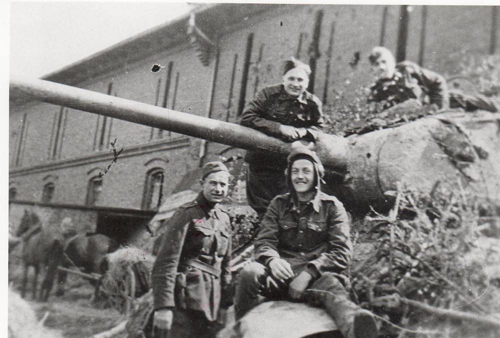
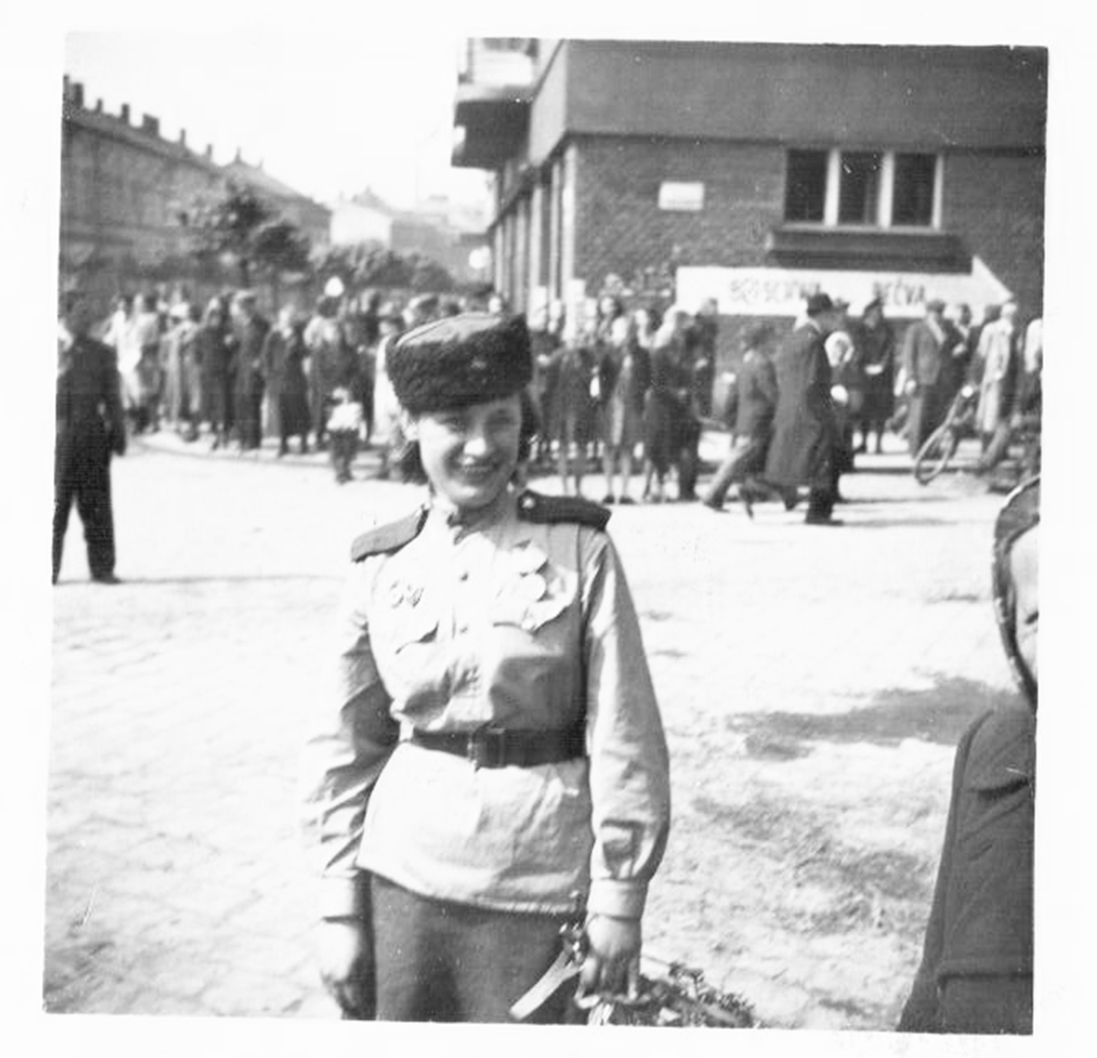
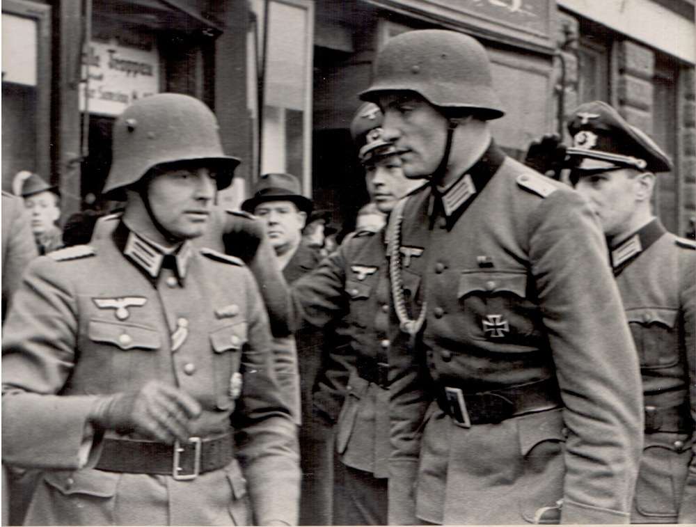
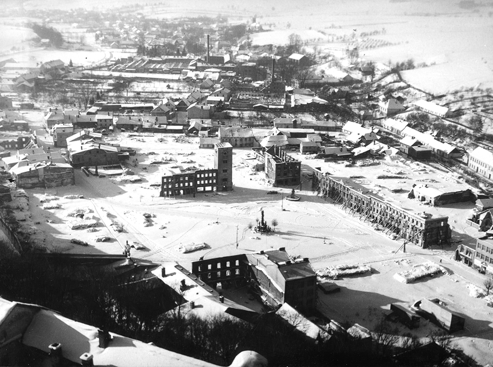
On the night of 30 April, the first troops of the 38th Army crossed the Oder in Zábřeh, joined by Czechoslovak tankers. After breaking the line on the Oder, Moskalenko's troops met little resistance in Ostrava. Most of the enemy were retreating toward Frýdek because of the threat of encirclement. Thus, during April 30, Ostrava was liberated. Local insurgents also took part in the fighting and managed to save the railway bridge at Karolina from destruction. It is said that the resistance fighter Miloš Sýkora prevented the destruction of the bridge over the Ostravice River, which now bears his name.
After pushing the German troops out of Ostrava, the fighting continued in three directions. In the first days of May, Grečko’s army penetrated into Těšín and Frýdek. Kurochkin, with the 60th Army, liquidated the nests of German resistance west of Opava. Moskalenko advanced into northern Moravia. Heavier fighting took place in Frýdek and around Fulnek, which was badly damaged.
The Ostrava-Opava Operation ended on 5 May 1945, when the Soviets stood in front of Krnov, Moravian Beroun, Nový Jičín and Frenštát. About a quarter of a million men and women were involved in the fighting on the Soviet side, and about 155,000 soldiers on the German side. The casualties of the 4th Ukrainian Front exceeded 23,000; German casualties are estimated at around 70,000.
5.20 Underground in Czech Silesia 1970-1989
They were young people looking for cultural and social activities outside the official institutions of the late socialist system. Even in Czech Silesia, which at that time was part of the North Moravian Region, groups or entire networks of long-haired adherents were formed, promoting ideas of the 1960s that were often looked down upon by ordinary citizens. In addition to hanging out in popular pubs, many musical groups (mostly playing some type of rock music), non-conformist artists, or publishers of samizdat press, for example, emerged from their milieu. Although at first they sought only records by foreign idols, unsaleable literature, or just kindred spirits, after increasing pressure from the state authorities, many (especially in the 1980s) from the underground community found their way directly into the structures of political opposition.
The area of the contemporary North Moravian region certainly did not stand at the beginnings of the musical underground, which arose mainly around prominent figures in Prague and North Bohemia. Jiří Fiedor, one of the leading figures of the underground in the region, recalls that in North Moravia, participants of beat festivals and concerts as early as the late 1960s wore long hair (one of the hallmarks of the community). In the 1970s, long hair slowly began to reappear in the region and pubs where groups of this kind met began to be profiled. It should be added that the participants did not call themselves underground, but, for example, “hairies.” Pubs used to be essential information hubs through which important news was disseminated and where groups with similar interests integrated.
Jiří Fiedor commented, "Those pubs were important! They were just such asylums for those people. Mostly in those pubs these people knew who they were going to meet. A lot of people didn't live at their addresses (...) people lived in different groups, there were no mobile phones, often there were no landlines. (...) If I wanted to meet someone, I knew I had to go to the weekly pub and I would meet them there."
In Jiří Fiedor's conception, there is a more open definition of the underground. In his opinion, one could always find one's way into a community; people were not aware of any political subtext, it was rather intuitive - they liked long hair, certain music, so they naturally joined a group of people with similar interests. From the region, one cannot but mention, for example, the artist Ladislav Borkovsky, "Dasa" Vokata (an underground singer-songwriter born in Karviná) with the "vagabond" and guitarist Zdeněk Vokata "London", or Vladimír Ptaszek.
The local underground achieved national significance especially in the 1980s, when a distinctive, mainly punk-inspired, music scene emerged in Havířov. The most important festivals in Czech Silesia were those held in the village of Třanovice. The festival, organized by Jiří Fiedor, Radek Kiss and other Havířov "maniacs", was held on the family farm, later in the municipal premises, and the guests performing were from all over the country. In addition, there were various events, in the countryside or on private land, often associated with music and an art exhibition. Connections to Valašské Meziříčí, Nový Jičín, Central Moravia and Brno were important.
Jiří Fiedor recalls, "At the beginning of the 1980s, [the security forces] didn't consider the hairies to be some kind of political opposition, they considered us to be just some kind of freaks who were just drinking, wearing long hair, right, but in the second half of the 1980s (...) it had to do with the fact that there were more and more petitions that people were signing. So they [the security forces] re-evaluated their position and started to consider those people from the underground as political opposition."
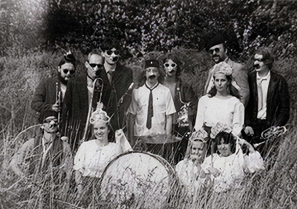
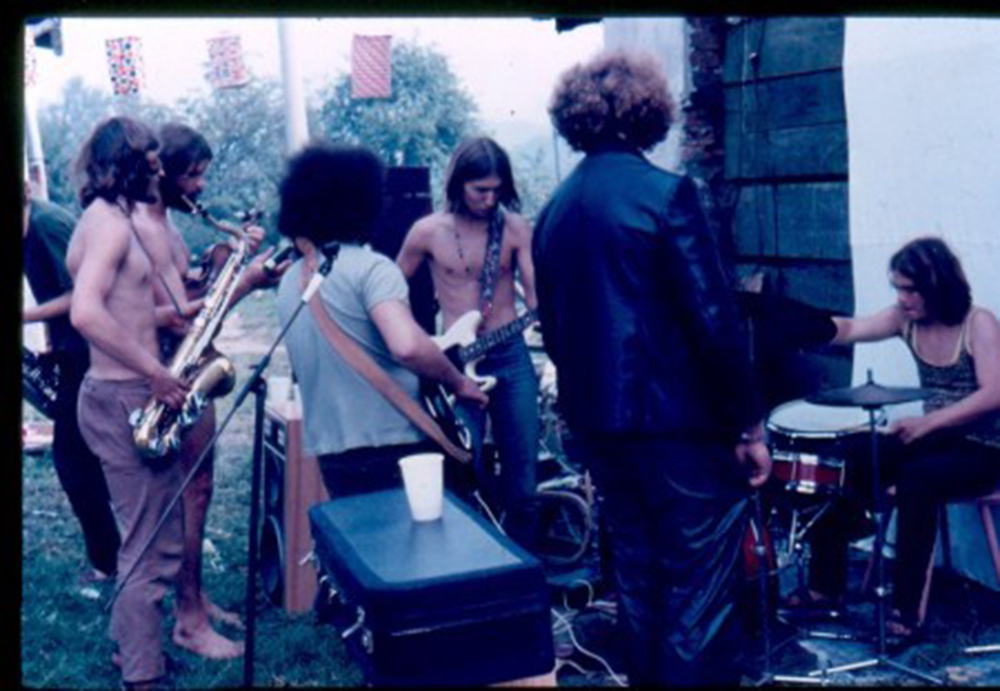
Probably the most important contributor to the functioning of the underground and similar communities is the network of now often legendary restaurants and pubs. If we ignore the prominent establishments on the Moravian side of the region, such as the Spolek in Ostrava, the Slunko in Nový Jičín or the Ponorka in Olomouc, we are left with an incomplete list of pubs where the so-called second culture was formed alongside beer consumption. In Silesia, the underground movement was also present in the Opava region, apart from the most prominent Havířov and its surroundings; other areas were not so prominent, but there were renowned pubs in more remote towns as well.
6. ECONOMIC DEVELOPMENT
CONTENTS OF THE CHAPTER
6.1 Road Network of Austrian Silesia 1742-1918
Mgr. Michaela Závodná, Ph.D. (OU)
6.2 Road Network of Czech Silesia 1918-1945
Mgr. Michaela Závodná, Ph.D. (OU)
6.3 Road Network of Czech Silesia 1945-2020
Mgr. Michaela Závodná, Ph.D. (OU)
6.4 Railway Network of Czech Silesia 1847-1918
Mgr. Michaela Závodná, Ph.D. (OU)
6.5 Railway Network of Czech Silesia 1918-1945 incl. Public Transport
Mgr. Michaela Závodná, Ph.D. (OU)
6.6 Railway Network of Czech Silesia incl. Public Transport 1945-2020
Mgr. Michaela Závodná, Ph.D. (OU)
6.7 Agriculture - Natural Conditions for Agriculture
Ing. Igor Kyselka, CSc. (ACC), Mgr. Marta Šopáková (SZM)
6.8 Agriculture in the Years 1848-1945
Ing. Igor Kyselka, CSc. (ACC), Mgr. Marta Šopáková (SZM)
6.9 Agriculture 1948-1989
Ing. Igor Kyselka, CSc. (ACC), Mgr. Marta Šopáková (SZM)
6.10 Agriculture 1990-2020
Ing. Igor Kyselka, CSc. (ACC), Mgr. Marta Šopáková (SZM)
6.11 Prerequisites for the Development of Industry until 1848
prof. PhDr. Aleš Zářický, Ph.D. (OU)
6.12 Industrial Development between 1848 and 1945
prof. PhDr. Aleš Zářický, Ph.D. (OU)
6.13 Industrial Development after 1945
prof. PhDr. Aleš Zářický, Ph.D. (OU)
Mgr. Michaela Závodná, Ph.D. (OU)
6.2 Road Network of Czech Silesia 1918-1945
Mgr. Michaela Závodná, Ph.D. (OU)
6.3 Road Network of Czech Silesia 1945-2020
Mgr. Michaela Závodná, Ph.D. (OU)
6.4 Railway Network of Czech Silesia 1847-1918
Mgr. Michaela Závodná, Ph.D. (OU)
6.5 Railway Network of Czech Silesia 1918-1945 incl. Public Transport
Mgr. Michaela Závodná, Ph.D. (OU)
6.6 Railway Network of Czech Silesia incl. Public Transport 1945-2020
Mgr. Michaela Závodná, Ph.D. (OU)
6.7 Agriculture - Natural Conditions for Agriculture
Ing. Igor Kyselka, CSc. (ACC), Mgr. Marta Šopáková (SZM)
6.8 Agriculture in the Years 1848-1945
Ing. Igor Kyselka, CSc. (ACC), Mgr. Marta Šopáková (SZM)
6.9 Agriculture 1948-1989
Ing. Igor Kyselka, CSc. (ACC), Mgr. Marta Šopáková (SZM)
6.10 Agriculture 1990-2020
Ing. Igor Kyselka, CSc. (ACC), Mgr. Marta Šopáková (SZM)
6.11 Prerequisites for the Development of Industry until 1848
prof. PhDr. Aleš Zářický, Ph.D. (OU)
6.12 Industrial Development between 1848 and 1945
prof. PhDr. Aleš Zářický, Ph.D. (OU)
6.13 Industrial Development after 1945
prof. PhDr. Aleš Zářický, Ph.D. (OU)
6.1 Road Network of Austrian Silesia 1742-1918
The road network was an essential element of the pre-industrial form of transport. With the development of railways, their importance temporarily declined. The focus was mainly on local and regional roads, and the network of municipal roads was being improved. With the advent of individual transport and motorization, the road network came to the fore again.
The construction of roads had to be financed not only by the state, but also by the states, private tolls or revenues from various provincial surcharges and the travel fund, which received tolls and bridge tolls. The construction process involved the use of serf labor, the so-called road work force. The serfs were also obliged to keep the road in passable condition within a specified distance, and a system of so-called provincial, later voluntary competition was common.
A significant change in the form of the road network in the Czech lands was brought about in 1781 by the decree of Josef II. The key construction for the Czech Silesia was the so-called Halič Road from Olomouc to Bílsko via Lipník, Hranice, Nový Jičín, Příbor, Frýdek and Těšín, and the road from Frýdek to Jablunkov. The hitherto preferred Silesian- Halič road thus became marginalized. During the reign of Joseph II, the road powers were also briefly transferred to the imperial army. In Czech Silesia, this affected the entire Silesian- Halič road from Opava to Těšín and the connecting Silesian road from Slezská Harta to Opava. Further developments showed that this step was not very appropriate and the roads were transferred back to state administration.
The next building boom came after the Napoleonic Wars. It applied a system of so-called voluntary competition, in which the maximum financial and other burdens of road construction were transferred to whoever could benefit from it. Private entrepreneurs were also increasingly involved in construction. Eventually, from 1812 onwards, all state municipal contracts were carried out by a system of public tendering, known as bidding, in which the contractor was selected on the basis of the highest discount on preliminary costs, with the aim of reducing the price as much as possible. A similar system was in place from 1820 for road maintenance.
The next stage of the implementation of state roads in Czech Silesia was initiated in the 1820s by the construction of the Krnov Road from Opava via Krnov and Město Albrechtice to Prudnik, followed in 1839 by the so-called Šumperk Road, connecting Silesia with Bohemia via Opava, Bruntál, Šumperk and Štíty. From the 1840s, Lomnicka Road gradually connected Horní Loděnice via Bruntál with the Zlaté Hory Mountains and the Prussian border. During the 1830s and 1840s, the Opava region was also made accessible by a relatively dense network of district roads. From the 1840s onwards, in connection with the construction of railways, state involvement in the construction of the road network ceased, with the exception of state involvement in the area of the transport of the isolated Jeseník region. In the years 1875-1880, the state ensured the construction of a 43-km long imperial (main) road from Zlaté Hory (Cukmantl) to Červenohorské sedlo. The second major step was the taking over of the district road from Frývaldov (today Jeseník) via Žulová to Javorník by the state in 1893, followed by the so-called Vidal Road connecting Vidly with Domášov and Vrbno pod Pradědem in 1904 and the Krnov-Leskovec nad Moravicí Road in 1918.
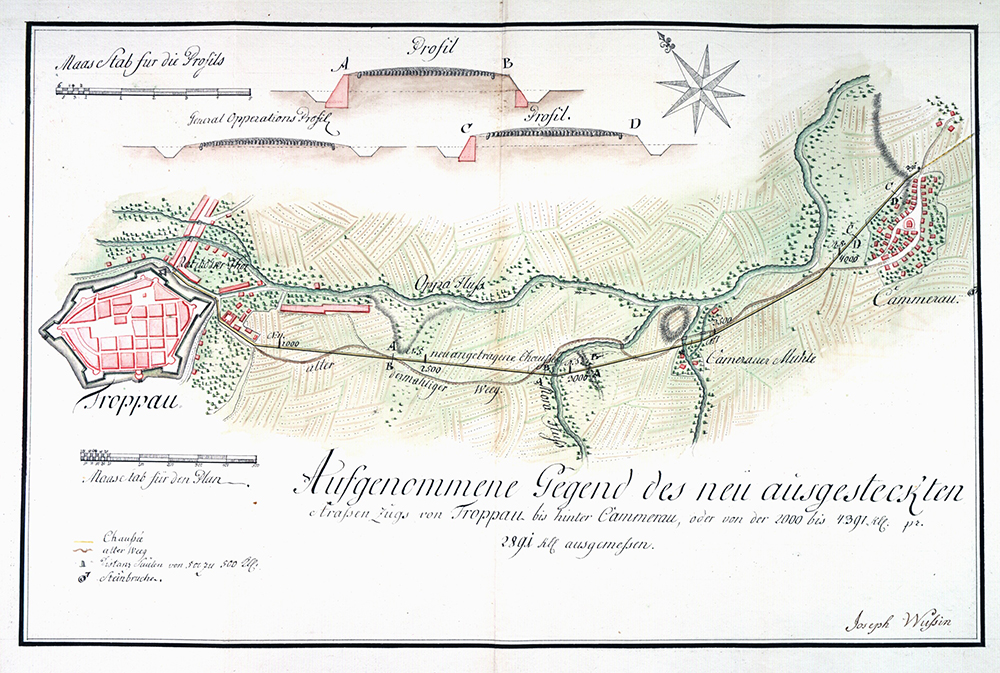
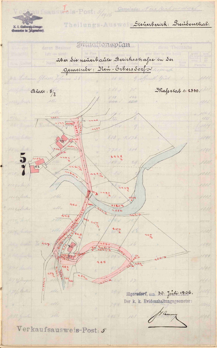
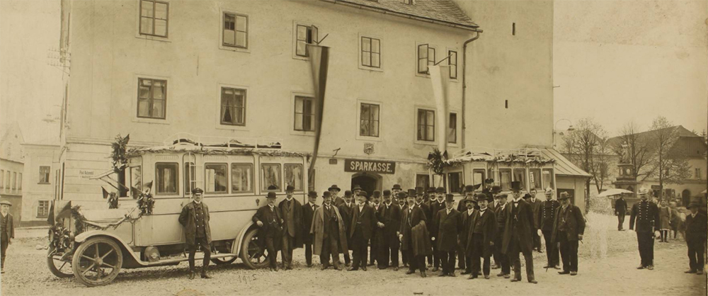
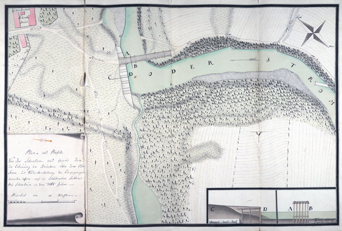
Most of the roads were still county roads. They were administered by the district road committees and the funds for their maintenance were raised by so-called road competition, i.e. a tax surcharge that fell on all inhabitants of the respective municipality without distinction, on the basis of a law from 1849. The situation improved only in the 1880s and from the 1890s there was a steady expansion of the district road network. The best political districts were Frýdek, Těšín and Krnov, the worst political districts Bruntál, Bílsko and Bílovec.
The number of poor quality municipal roads also decreased during the period under review. While in 1881 there were 2,209 km of roads in Silesia, in 1910 there were only 1,929 km. Before World War I there were a total of 4,050 km of roads in Silesia, of which 457 km were state roads; 1,659 km were district roads and 1,934 km were municipal roads.
The construction of the road network was also closely linked to the use of new technologies, such as pavement rolling. It became more durable, less dusty and slippery. This increased the comfort and quality of travel and developed motorization. As of 1910, 62 cars and 225 motorcycles were registered in Czech Silesia, and the first bus routes had already appeared, operated by the state administration with financial contributions from municipalities and countries. In 1914, in addition to the 36 postal passenger lines, there were also 9 bus lines in Czech Silesia, which enabled fast and mass passenger transport. Bus connections for trips to the Hrubý Jeseník region, which were closely related to the boom in tourism, also played a significant role in the growing mobility of the population.
6.2 Road Network of Czech Silesia 1918-1945
The interwar years were a period of many administrative changes that also affected the road network of Czech Silesia. While the state primarily paid attention to state roads, many of them long-distance, the district roads were taken care of by the district administration. As motorization progressed, increased attention was mainly paid to road reconstruction as well as the maintenance and the modernization of roadways. The destruction of bridges, roads and vehicles was a consequence of the war. The years 1918-1938 were also a period of development for car and bus transport, which was subject to eight years of competition until the 1930s. The economic crisis of the 1930s and World War II also had a significant impact on its operation.
The interwar years were a time when the attention of the state and the districts was focused on the reconstruction, rehabilitation and modernization of existing roads rather than on the construction of new roads. Financially, these operations were to be covered by the newly established road fund. From the late 1920s, modern methods of road surface treatment became increasingly popular. While in 1926 rolled pavements still prevailed in the Jeseník region, in the remaining parts of Silesia, investments were already being made in tar or asphalt pavement, and so-called medium or heavy pavements were being built. Heavily congested areas, especially around towns, began to benefit from paving. The Mining and Metallurgical Company even experimented with so-called iron roads from 1933 onwards, laying them in Třinec, Moravská Ostrava and on the Frýdek - Český Těšín state road, for example. Despite all efforts, however, modernization progressed slowly, with difficulty and took a disproportionately long time. For example, in the Český Těšín district in 1928 the length of the district roads was 66.2 km; by 1936 only less than 7.5 km of new road had been added. However, maintenance was carried out almost exclusively by rolling. The modernization of the road network was also negatively affected by the great economic crisis of the 1930s, which halted many works or postponed them indefinitely due to the poor financial situation.
The advancing motorization increasingly interfered with the functioning of the railway network. Initially, car transport was seen as a complement to it, but gradually the automobile became the railway network’s competitor, especially for short and medium distances. For example, bus connections were added between Opava and Klimkovice, Dolní Lipová and Vrbno pod Pradědem and Zlaté Hory, from Šumperk to Bruntál, etc. For this reason, car and bus transport became the subject of a fierce competition between private entrepreneurs, the state-owned Czechoslovak Post, which in 1927 operated, for example, the connections between Hlučín, Ostrava and Frýdek-Místek, or between Opava and Bruntál, Frývaldov (now Jeseník) and Červená Voda, and the state-owned Czechoslovak Railways.
This situation lasted until 1933, when Czechoslovak Railways became the exclusive operator of the state bus lines. Their position continued to strengthen. The 1935 Road Transport Act on the use of motor vehicles granted the railway authorities extensive powers over car and bus transport in order to protect the state railway from competition.
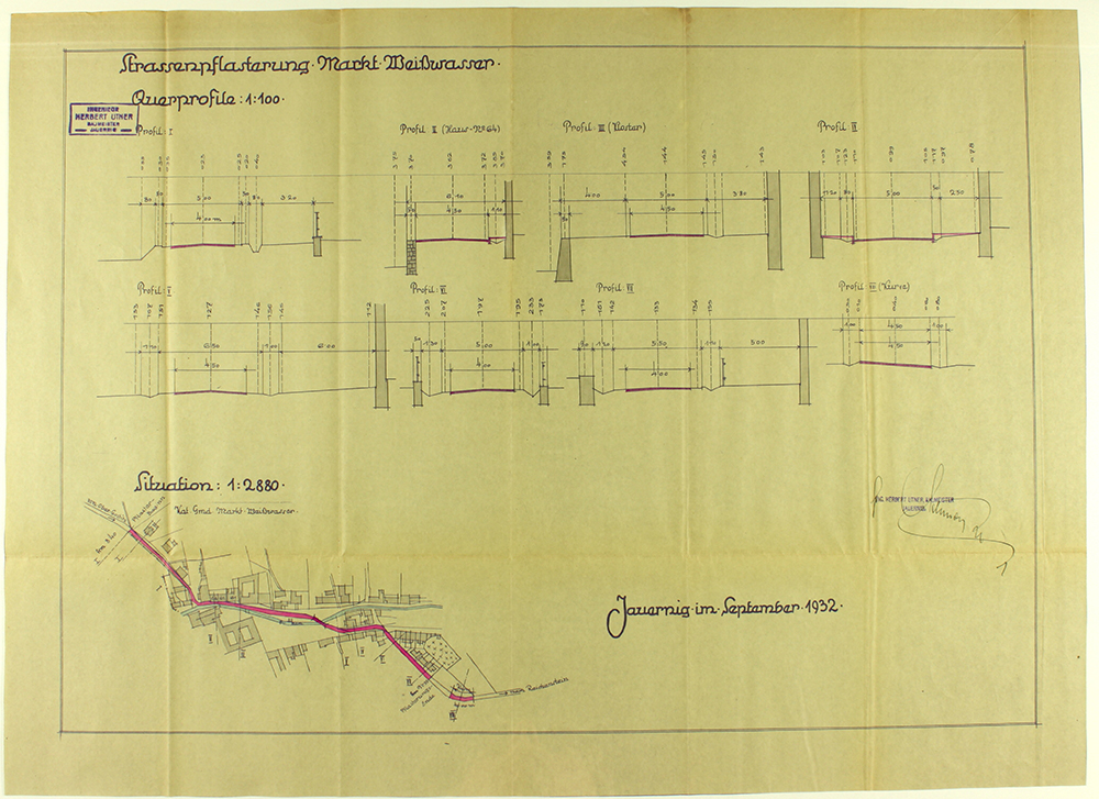
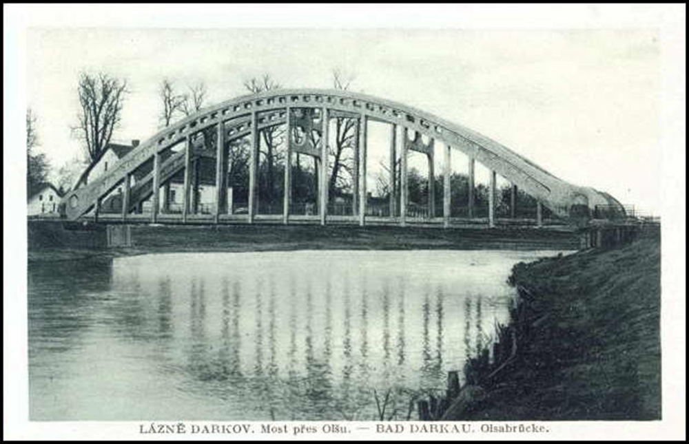
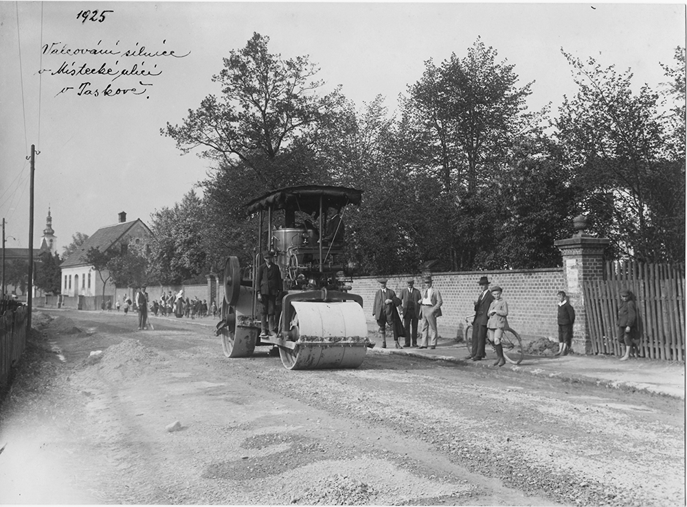
In addition to the ministries, municipalities also applied for permits for car or bus transport. For example, in 1931, due to the negative opinion of the Moravská Ostrava City Council and the Moravian Local Railway Company, concessions for bus transport from Píště via Dolní Benešov and Hlučín to Moravská Ostrava were not granted, as the required route was already covered by state bus transport. The intended private line from Třebom via Bolatice, Benešov, Hlučín and Ludgeřovice to Moravská Ostrava suffered the same fate. Neither were Koblov and Hrušov connected by bus. The law of 1932, which introduced a 30% tax on fares for lines crossing the municipal border, played a major role in the elimination of competition.
The period of World War II represented a profound stagnation of private and state car and bus transport. The Polish or German occupation of Silesia led to the disintegration of the integrated transport network and its orientation outside the territory of the Protectorate. The operation of transport required the vote of the Oberlandrat, and operation was subject to the Reich Post or the Reich Railways. A Kraftenbetriebswerk was established in Šumperk on the occupied territory. Until 1944, it was subject to the head office in Wrocław, and from 1944 to the head office in Opole. Šumperk and Jeseník became the starting points of the Silesian transport lines. During the war, however, transport was severely restricted, existing bus lines curtailed or gradually stopped, and vehicles were confiscated. Fuel, spare parts and human labor became increasingly scarce. Many entrepreneurs were forced to close their businesses. War operations and advancing fronts destroyed many roads and roadways, bridges were purposely destroyed, and the remaining fleet of vehicles requisitioned for the war effort.
6.3 Road Network of Czech Silesia 1945-2020
The development of the road network in Czech Silesia from the 1960s onwards focused mainly on Ostrava and the Ostrava region. A set of buildings forming a city ring road and roads connecting the city with its hinterland was created. The idea of the so-called Silesian Cross, whose aim is to create a quality transport link between the region internally and externally, brought about a major change in the road network. The construction program included, for example, the completion of the D1, Rudná, the construction of the Opava, Krnov and Frýdek-Místek by-passes and the modernization of the D48 road in the direction of Český Těšín. The modernization of the transport network is reflected in an integrated transport system linking urban, suburban and long-distance transport.
In connection with the post-war emphasis on economic reconstruction and heavy industry, the Ostrava-Karviná region developed dynamically, which required the transport of a huge number of workers not only from the Opava and Hlučín regions, but also from Slovakia. Due to the lack of vehicles, the state bus lines were often operated by companies on their own. For example, the OKD company transported workers from Petřkovice with its own vehicles, the Trojice mine ambulance transported employees on the Slezská Ostrava - Domaslavice line, and private individuals operated transport on the line to Dolní Bludovice and Horní Datyně.
The situation changed after 1948, or 1949, when the national enterprise Czechoslovak Automobile Transport (ČSAD, n.p.) was established, which took over the bus and car transport previously operated by ČSD, the transport lines operated until 1948 by private carriers, and part of the suburban/intercity lines previously operated by the Ostrava Municipal Transport Company. ČSAD gained the same exclusive position in state car transport as ČSD had in rail transport. ČSAD then operated car and bus transport in the territory of Czech Silesia, among other things, it gradually took over the transport for the closed narrow-gauge railways. By 1989, it had undergone a number of organizational changes in an attempt to respond more flexibly to the ever-increasing transport demands. The turning point came in the 1960s, when the development of bus transport was subordinated to a unified county-wide concept. The result was, for example, the transfer of bus transport in Ostrava and the surrounding area to the Ostrava Transport Company. In the 1970s, public transport began to be restricted both by the expansion of individual motoring and by the oil shocks that made fuel more expensive. In 1979, there was a review of the general frequency of traffic, a reduction of unused lines and a modification of timetables, which was repeated regularly thereafter. The privatization of the ČSAD national enterprise in 1992 created a number of private carriers that still provide transport in the region (e.g. 3ČSAD, which serves the area of Havířov, Karviná, Frýdek-Místek, ČSAD BUS Ostrava, Arriva, etc.) and which are part of the integrated transport system of Ostrava (IDOS). Transport in Ostrava in the adjacent municipalities is provided by buses and trolleybuses by Dopravní podnik města Ostravy, a.s.
The development of individual motoring required a quality road network. On the basis of a government resolution on the necessity of creating conditions to ensure further transport development, the so-called Ostrava Transport Master Plan was created, which comprehensively mapped the situation in the city. It also became the basis for the construction of its new communication system. In 1973 and 1984, it was refined by other master plans. The link to the external road network was to be provided by the D47 motorway, planned since the 1960s as part of the Vienna - Bratislava - Brno - Ostrava - Warsaw highway. The so-called A-class roads, which provided connections within the agglomeration (Rudná, Bohumínská, Orlovská, Frýdecká, Místecká) and also formed an urban ring road (Rudná, Plzeňská, Mariánskohorská, Bohumínská, Frýdecká), were part of the master plan. The construction of the transport system started in 1966 with the so-called extended Rudná, which was followed by further construction work until 1990 (Místecká, Fryštátská, etc.). By-passes, reconstructions and the passages of other Silesian towns (Bruntál, Krnov, Opava, Šumperk, Horní Benešov, Frýdek-Místek) were also considered or prepared. The year 1989 was a turning point and the 1990s were marked by modifications of existing building plans.
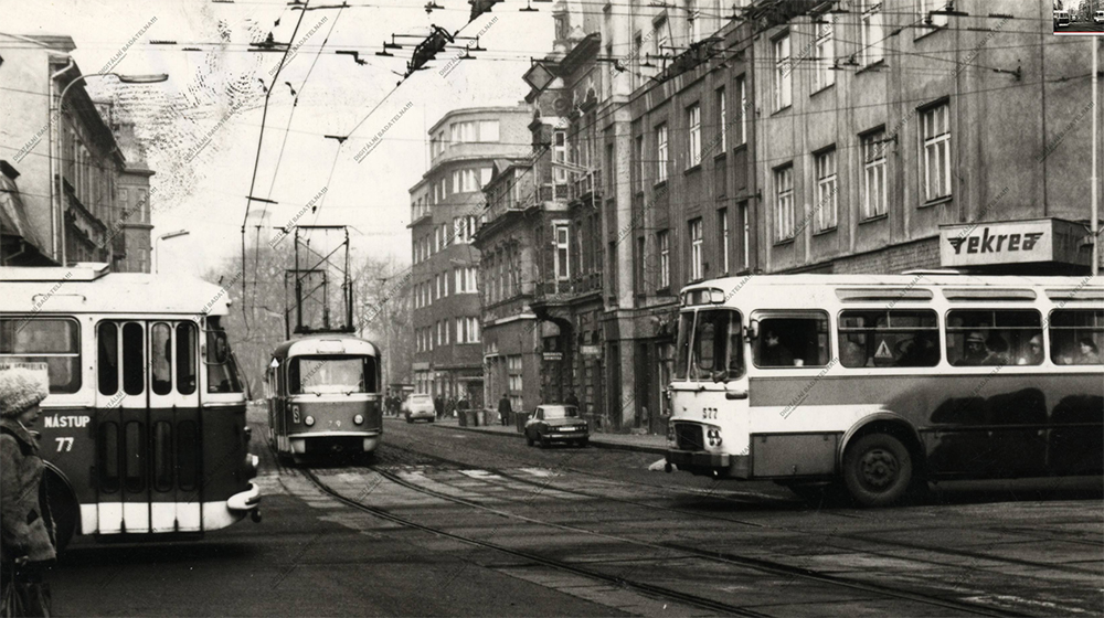
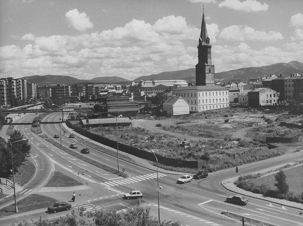
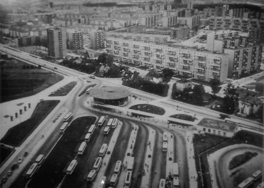
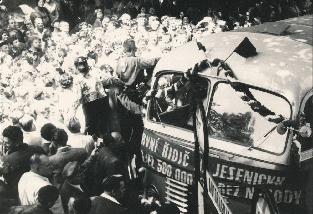
The fundamental document of the development of the road network of the Moravian-Silesian Region for the 21st century was the Concept of Road Infrastructure Development, which defined the backbone transport network of the Region in order to ensure its quality connections inside and outside (2002-2003) and its evaluation and approval in 2008. The idea of the so-called Silesian Intersection was born. The eastern branch includes the area of Ostrava, Český Těšín and Žilina (connecting the agglomerations of Katowice, Ostrava, Žilina), and the western branch includes the area of Ostrava, Opava, Krnov and Opole (connecting the border regions of Opava, Krnov and Opole). In the north-south direction, the main connection is provided by the D47/D1 motorway to Bohumín with a connection to the Polish motorway (traffic 2012). Currently, the E462 or D48 with the Frýdek-Místek by-pass, the connection of the I/11 road to the D48 motorway near Třanovice is being modernized. The Velká Polomi and Hrabyně by-pass, including the section of the extended Rudná, has been put into operation. The northern by-pass of Opava is being prepared, the north-western by-pass of Krnov and relocations of selected roads are being implemented. Railway corridors are also part of the concept, including the construction of a railway to the airport in Mošnov.
6.4 Railway Network of Czech Silesia 1847-1918
The rail network is a crucial element in the transformation of the economy. It creates demand for energy resources, raw materials, innovation and unskilled and skilled labor. It brings new preconditions for the localization of industry, mobilizes entrepreneurship, and changes the everyday life of the population. The network’s development is closely linked to the growth of urban transport. The late 19th century saw the development of street railways, the backbone of later urban transport systems.
The branches of the Northern Railway of Emperor Ferdinand to Opava (1855) and Bílsko (1855) were also important for the general development of Austrian Silesia, and the stations of Hrušov and Bohumín played the economically irreplaceable role of wholesale goods warehouses from the 1850s. "Ferdinandka" was involved in the construction and operation of a number of other railways in the territory of Austrian Silesia, industrial sidings, including a coal and steel railway in the Ostrava-Karviná district. In 1906 it was nationalized and the operation except for the coal and steel railway was taken over by the c.k. State Railways.
Since 1871, the Ostrava-Frýdlant railway served to connect the industrial enterprises of the Ostrava-Karviná district with ironworks and other enterprises in the Frýdek region (e.g. Lískovec, Baška) and the Frýdlant region (e.g. Frýdlant nad Ostravicí). From 1911 it was the starting point of the connection between Ostrava and Těšín (via Kunčice, today Ostrava-Kunčice). In the 1860s and 1870s, the hitherto transport-isolated Jeseník region was gradually connected. The Moravian-Silesian central railway ensured multiple connections to the Prussian railway network. From 1872, the line ran from Olomouc to Krnov, Jindřichov in Silesia with a branch to the Prussian Głuchołazy and Opava, and was gradually joined by a number of local branch lines.
After the crash of the Vienna Stock Exchange in 1873, the construction of local railways developed in the 1880s and 1890s. This resulted in a railway network which, with minor modifications, has survived to the present day. The construction included, for example, the Emperor Ferdinand Northern Railway (Frýdek - Bílsko; Studénka - Bílovec, 1890; Studénka nad Odrou - Budišov nad Budišovkou, 1892 or Opava - Horní Benešov, 1898). The link from Karviná to Petrovice u Karviné (1898) was of particular importance for the Ostrava-Karviná region. In the 1880s, the Austrian Local Railways Company (the Hanušovice - Głuchołazy line) and from the 1890s onward the Austrian State Railways (e.g. Opava - Prussian border towards Ratiboř via Chuchelná and through Kravaře to Hlučín, Vidnavy, Zlatohorsko, Javornicko) contributed to the accessibility of the Jeseník and Javornice regions.
Other entrepreneurs became involved, for example, the Olomouc archbishopric (Frýdlant nad Ostravicí - Bílá, 1908) or the Gutmann family (Studénka - Štramberk, 1881). At the end of the 19th century, the construction of railways was possible on one’s own. They involved municipalities, local stakeholders or individual countries or the state. A number of short local railways were established, mostly running through economically unattractive environments (narrow gauge railway from Třemešná to Osoblaha, 1898, or the local Svinov - Klimkovice railway, 1911).
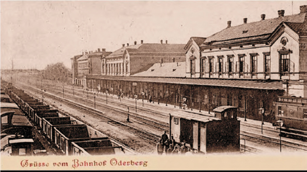
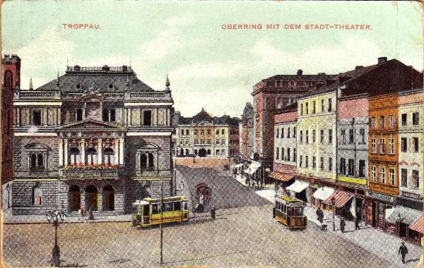
Rail transport in the Ostrava-Karviná district developed in a specific, but characteristic way for coal regions. From the beginning of the 20th century, the sidings of the coal and steel railway and the developed suburban passenger transport clashed in the hinterland of the Ostrava and Karviná agglomerations. The latter was operated by the Silesian Provincial Railways, which from 1910 connected Ostrava with Karviná via Lutynia and Orlová and Polská Ostrava with Michálkovice, and the local Moravská Ostrava – Karviná railway, which from 1909 connected Ostrava with Karviná via Petřvald.
In the Moravian wedge - the Ostrava region - the Brno Local Railway Company has been developing urban transport business since 1984; its lines in 1907 offered the inhabitants of the Ostrava agglomeration a quality connection with the Přívoz and Svinov railway stations.
In traditional provincial or administrative settlements (e.g. Opava or Těšín), or in economic centers (e.g. Bílsko or Bohumín), short electrified lines, often of narrow gauge, were built, the so-called Strassenbahnen. Their main purpose was to connect the city center with the railway station and other important urban buildings and areas (barracks, hospitals, theaters, parks, etc.). The municipal government was heavily involved, often in conjunction with the garden power companies. The operation of the railways was handled by a joint-stock company in which the towns held shares. However, the construction and operation of the railways was not only considered economically. They were perceived as a public service, a means of general public welfare, and proof that the city was modernizing and not afraid of new - modern - technical and social challenges. They were not only used to transport people, but could also deliver parcels, mail and, in the event of war, the wounded. The development in the Těšín region contrasted sharply with the development in western Czech Silesia, where only Opava could boast of urban rail transport.
6.5 Railway Network of Czech Silesia 1918-1945 incl. Public Transport
In the interwar period, the railway network was stabilized, its administration reorganized and the state enterprise Czechoslovak Railways was established. The situation of the annexed Hlučín region had to be newly resolved. The nationalization of the previously private railways continued. However, in the course of 1920s and especially in the 1930s, considerable competition arose in the form of automobile transport. The railway business was also adversely affected by the Great Depression and wartime events.
The dispute over Těšín affected the traffic situation very significantly. The Republic of Poland claimed the only and strategic link between the Czech lands and Slovakia - the Košice-Bohumín railway. By the decision of the Allied Commission in 1920, the railway remained on the territory of Czechoslovakia. Already in 1919 a special commissioner was appointed for it and all its lines were subordinated to the Directorate of State Railways. In 1921 the railway was taken over by Czechoslovak Railways, the Silesian part under the Olomouc Directorate of State Railways, the Slovak part under the Košice Directorate. The state was a shareholder of the company from 1925, but the nationalization did not take place, the railway remained a private entity. The situation changed only after World War II. In 1940, the participating states (German Empire, Slovakia, Hungary) signed an agreement on the liquidation of the company. The rights and obligations were divided between the three states in the order of the length of the line. Slovakia was also ordered to liquidate the company, the headquarters transferred to Bratislava and the Slovak section nationalized by Act No. 52 of 1943. However, the final nationalization of the railway did not take place until 1948.
The dispute over Těšín and the division of Těšín into Czech and Polish parts became fatal for the Těšín tramway, which ceased operation and disappeared in 1921.
An equally sensitive issue was the annexation of the Hlučín region, which had been connected to Prussia, not Silesia. The Czechoslovak transport network was thus extended by the Prussian part of the line from Opava to Ratiboř (the section from the former border to Kravaře, Chuchelná, Hlučín). However, the Hlučín – Petřkovice -
Chałupki section was completed in 1925 only in the part of Hlučín - Petřkovice. The part to Chałupki was not implemented, the already built parts demolished. Instead of the railway, the connection between Petřkovice and Ostrava was provided until the 1950s by buses, cars or individual forms of transport. The so-called Petřkovice bridge became a strategic structure connecting the Hlučín region with Ostrava.
The 1920s marked the consolidation of the Czechoslovak railway network. On the basis of a 1925 law, the state nationalized all secondary railways in the territory of the republic in several waves.
Only the Košice-Bohumín railway, the mining railway, the Moravská Ostrava - Karviná railway and the Studénka - Štramberk railway remained private in the territory of Czech Silesia. The rationalization of transport on the state lines was progressing, and the construction of a second track, electrification and motorization was underway on the busy long-distance lines. In 1929, for example, a motorized carriage service was started in Jeseník on the line from Olomouc via Šternberk, Šumperk, Hanušovice to Mikulovice, and later also to Krnov and Zlaté Hory.
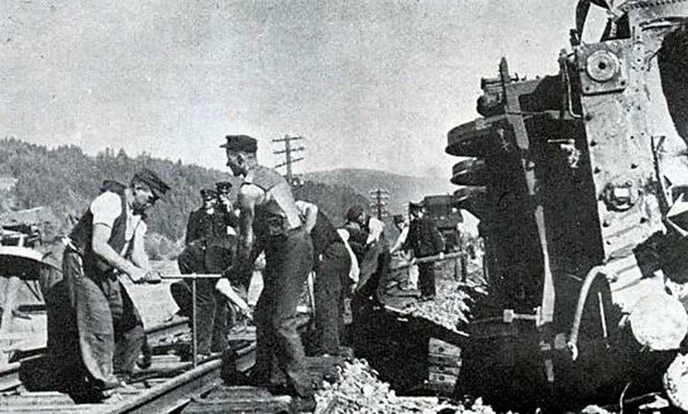
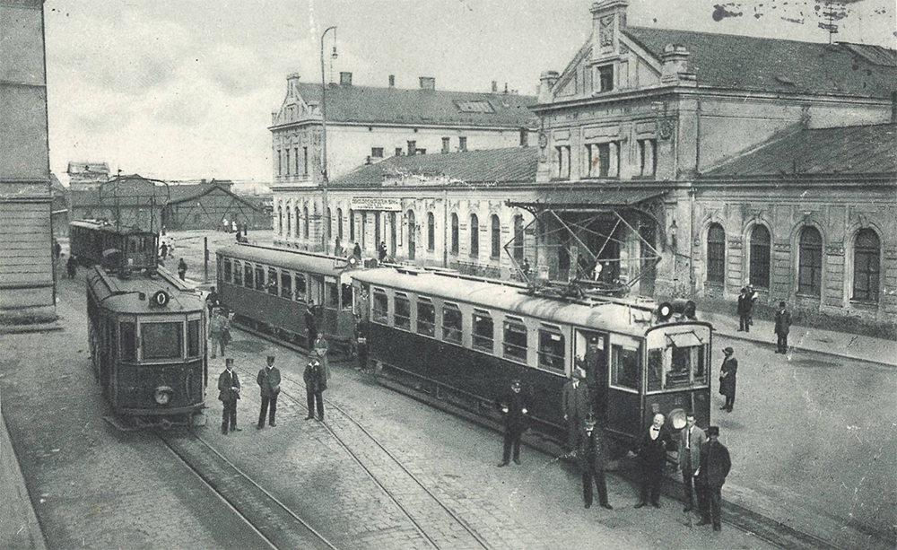
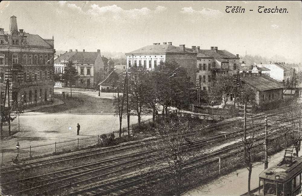
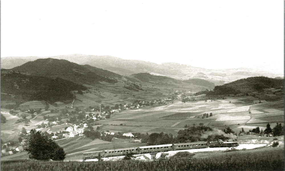
In 1923-1927 the construction of the line from Svinov to Kyjovice-Budišovice took place in the territory of Czech Silesia. This was the construction of a provincial railway financed by the Silesian state, which subsequently entrusted it to the Silesian Provincial Railways for operation. The contemplated extension via Hradec to Opava was not carried out.
After Munich in 1938, Opava, Hlučín and Jeseník regions were annexed to the German Reich and the lines were incorporated into the Reich railways with German as the official language. From October 1938 to September 1939, Těšín was occupied by Poland. Polish became the official language and the lines were supervised by the regional directorate. New border crossings were created - Bogumin, Szumbark and Dobrá. On 1 September 1939, the Polish part was occupied by the German Reich.
The reconstruction of the war events and their impact on the operation of the railways is difficult to follow, mainly due to the lack of sources. The area was under the control of the Reich Directorate in Opole, whose records room burned down at the end of the war. It can be assumed that the war led to a profound stagnation of the industry and the destruction of movable and immovable property, including loss of life. In addition, at the end of the war many railway buildings were badly damaged or blown up by the advancing front.
The trends of the interwar railway business were also copied by urban rail transport. Municipal governments entered the business, and the 1920s were mainly marked the modernization of operations and the first attempts to introduce suburban and intercity bus lines. The Great Depression of the 1930s led to stagnation and cutbacks. The cession of Silesia to Poland and its subsequent seizure by the German Reich disrupted transport on the lines in the Silesian part of the Ostrava-Karviná region. The new lines crossed the territory of two states, which had an impact on their operation, e.g. in the case of the Silesian Provincial Railways, the operation after the seizure was first entrusted to Śląskie kolejki krajowe, then to Teschener Kreisbahn.
6.6 Railway Network of Czech Silesia incl. Public Transport 1945-2020
The shape of the railway network in Czech Silesia was affected by the post-war reorganization of Europe, which led to the cancellation of the cross-border sections of lines. After 1948, the state concentrated mainly on modernizing the busiest long-distance transport routes of a strategic nature. Investment actions were directed to the railway lines of the Ostrava-Karviná region at the expense of the Silesian regional railways. With the progressive liberalization of the market after 2000, traffic on many local railways was reduced, stopped or only partially restored. Railways and urban transport became part of integrated transport systems and the so-called Silesian Intersection.
The expansion of heavy industry accompanied by mining in the 1950s and especially in the 1960s required the relocation of lines in the Ostrava-Karviná district. A new line had to be built and put into operation on the former Košice-Bohumín railway in the Dětmarovice - Louky nad Olší section. The connection between Ostrava, Havířov and Český Těšín also underwent significant changes. The original line was relocated in the Havířov - Albrechtice u Českého Těšín section (1962), and in connection with the construction of the so-called Polanecká spojka (Polanka connecting line) between Svinov and Kunčice (1964), the line was double-tracked and electrified. The above-mentioned original line sections along with the Doubrava - Orlová - – Bohumín section was taken over by OKR - Transport during the 1960s to 1980s and continued to exclusively serve freight transport.
With the decline of mining activities in the district, the operation of these lines also declined, and the Rychvald - Bohumín section was stopped in 2019. Currently, the lines are accessible only in special cases during events organized by the Silesian Railway Association in cooperation with the freight transport operator AWT. The railway line of the former Košice-Bohumín railway is now marked in the timetable with the number 320, the section from Bohumín to Dětmarovice with the number 326. The line from Bohumín to Petrovice is part of the second railway corridor, the part from Bohumín to the Slovak border is part of the third railway corridor. Since the beginning of the 21st century, the line has undergone extensive modernization, which includes the modernization of the signaling system, the construction of a second track in Jablunkov Tunnel, the reconstruction of bridges and other line structures, including station buildings, etc. The modernization of the corridors is part of the regional transport concept, the so-called Silesian Intersection.
The post-war reorganization of Europe and the Iron Curtain led to the cancellation of cross-border sections of Silesian lines (Bernartice u Javorníku - Otmuchów, Vidnava - Nysa, Krnov - Głubczyce, Opava - Pilszcz). Only the section via Głuchołazy remained in passenger operation, but without the possibility of boarding/disembarking for Czech passengers. Changes in the form of the local railway network were minimal until 1989. Only part of the line from Svobodné Heřmanice to Horní Benešov was cancelled due to the subsidence of the subsoil (1981), the Ostravice – Bílá line due to the construction of the Šance waterworks (1965) and the construction of a tramway connection between Hlučín and Ostrava via the so-called Peace Line (1951-1982).
Much more significant interventions in the railway network can be observed from the 1990s. The dissolution of Czechoslovakia led to the reorganization of the state enterprise Czechoslovak State Railways into Czech Railways. A government resolution of 1995 separated all regional railways from the national railways. The liberalization and optimization of regional and urban transport, the creation of integrated transport systems, etc. affected the Javorník and Jeseník regional lines. In the 21st century, the main lines between Olomouc, Šumperk, Krnov, Opava and Ostrava are undergoing a gradual and comprehensive modernization of the track superstructure and substructure, signaling equipment and station facilities, and connections are being reduced on unused and unprofitable non-electrified lines. For example, seasonal passenger/tourist transport is in operation (Třemešná in Silesia - Osoblaha, Mikulovice - Zlaté Hory, Kravaře in Silesia - Chuchelná). Private freight traffic is often the only way to preserve regional lines (Opava- východ - Svobodné Heřmanice, Velká Kraš – Vidnava being under discussion) or at least part of them (Bruntál - Světlá Hora).
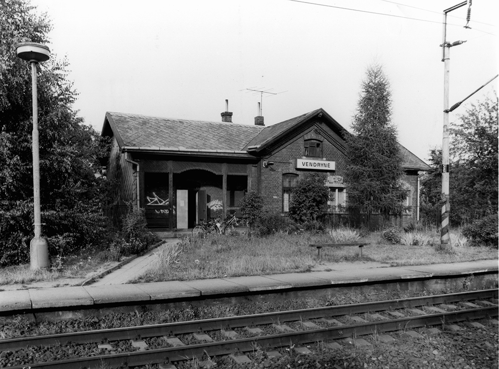
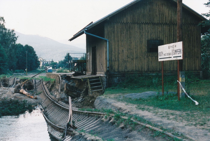
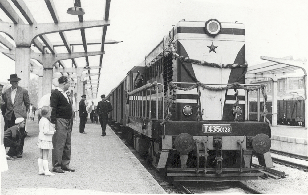
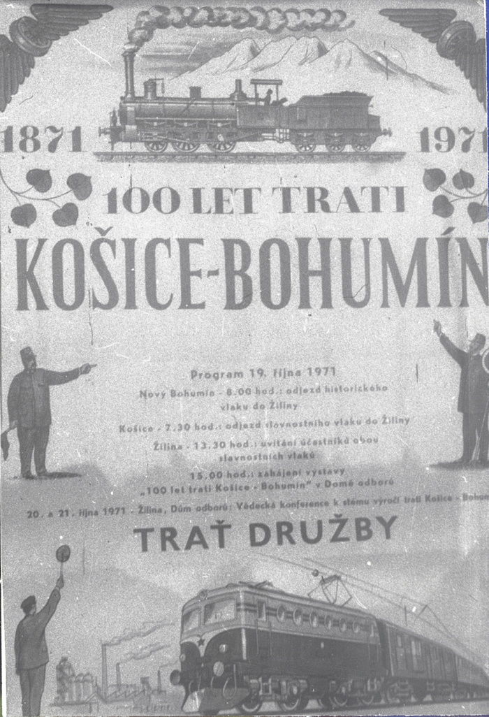
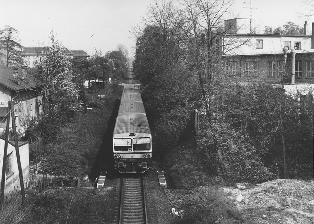
In urban transport, the establishment of municipal enterprises in 1949 was crucial. The integration of individual transport enterprises into one created the Transport Enterprise of Ostrava in 1953, which initiated the connection with Hlučín and in the 1970s, due to undermining, the narrow-gauge lines in the Silesian part of the Ostrava-Karviná district closed and replaced by bus and trolleybus transport. However, this type of transport was operated in Opava by the local transport company as early as 1945. Changes after 1989 also affected transport companies, which turned into joint-stock companies and, in close cooperation with municipal authorities, operate urban and suburban lines and become part of integrated transport systems. The suburban transport project in the form of a train-tramway connecting Ostrava with Orlová, Opava and Havířov and also using the original lines of the Košice-Bohumín railway (Heřmanice - Rychvald - Bohumín - Orlová - Ostrava) is still in the consideration stage.
6.7 Agriculture - Natural Conditions for Agriculture
"They took my garden and they left me the fence". The memorable statement of Emperor Joseph II, made at the northernmost point of Austrian Silesia some years after the last lost war with Prussia, well characterizes the terrain of Silesia and thus the geomorphological conditions for agriculture. The majority of so-called Prussian (now Polish) Silesia consists of plains or only slightly undulating hills, which also form the present-day Czech-Polish state border from Bílá Voda (with the exception of a short stretch of the Zlaté Hory Highlands) to Český Těšín. On the Austrian (now Czech) side, the terrain soon rises sharply and, especially in the western part of Silesia (Javorník, Jeseník and Krnov regions), the fertile brown earth transitions into mountain farmland literally within a few meters.
In terms of the current structure of the land fund, the administrative districts of municipalities with extended competence (ADMEC), Kravaře, Bílovec and Český Těšín, have the highest share of agricultural land (over 50 %), while Frýdlant nad Ostravicí, Jablunkov and Karviná have the lowest. While in Frýdlant and Jablunkov most of the area is forest, in Karviná ADMEC there is a high proportion of built-up and urbanized areas. In absolute value, the largest amount of the agricultural land fund (ALF) in Opava ADMEC (36.2 thousand ha) is in Krnov and Bruntál.
The highest share of ploughing is in Kravaře (88.7 %), Opava and Hlučín ADMEC, in the absolute area of theOpava (30.5 thousand ha) Administrative District (AD). Permanent grassland predominates within the ALF in Jablunkov (65.8 %), Frýdlant nad Ostravicí and Bruntál AD. A rarity is that in Bohumín AD it constitutes 11 % of the water area, which is clearly the highest in the Czech Republic.
Agriculture in Silesia was never as important as in Bohemia and Moravia. More significant changes in the structure of fields, forests, meadows and settlements in the west - Sudeten, i.e. the majority part of Silesia - occurred in the two decades after the end of World War II. After the Germans were expelled, the higher ground and remote areas in particular could not be re-populated and were therefore partly deliberately, partly spontaneously reforested. However, this is not the case in the vicinity of Ostrava in the Karviná and Bohumín regions, where, as a result of the extensive and substantial impacts on the area caused by coal mining, the development of heavy industry and the associated massive industrial and residential construction, there were and continue to be significant permanent encroachments on agricultural land, practically up to the present day.
Natural conditions and fertility of the area. The overall natural conditions for agriculture are strongly influenced by the northerly winds to which most of the fertile plains are open. The mountain ranges to the south and south-west hold back the rains and cause high rainfall, thus shortening the agricultural season. The most fertile areas of Silesia include the non-extensive Vidnava lowland (so-called Silesian Haná or Silesian Ponisie) (approx. 250-350 m above sea level), the Opava Hill area (approx. 240-350 m above sea level), the Opava Hill area (approx.) comprising the eastern Osoblaha region, the Opava floodplain between Krnov and Opava and the wider surroundings of the town of Opava, and the remnants of undeveloped areas in the Ostrava Basin, as well as the Moravian Gate, with the exception of the narrowest floodplain of the Oder covered with floodplain forests and meadows. Overall, the lower altitudes in western and central Silesia have more favorable conditions for agriculture. The plains, floodplains and uplands of eastern Silesia are also less fertile due to higher rainfall and heavier, less permeable soils In the Beskydy Mountains, mountain shepherd cattle breeding is still preserved to some extent, and remnants of small-scale small-scale farming can still be found around typical Carpathian scattered farmsteads, which, however, tend to recede While in the flat part of Silesia the average annual rainfall is 550 mm, in the mountains it is over 1000 mm (Lysá hora as the rainiest place in the Czech Republic has 1790 mm). Crops such as wheat, barley and sugar beet could be grown practically only in these most fertile areas. As mountain and foothill areas predominate, Silesia is more often associated with pastoral cattle and sheep farming.
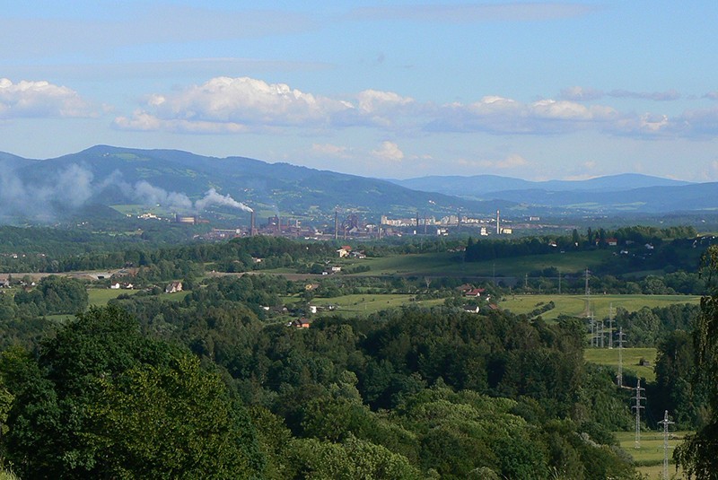
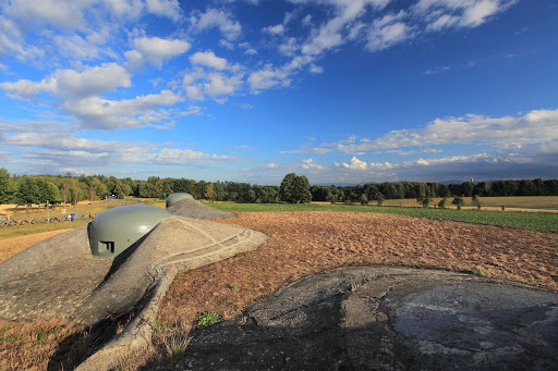
In terms of production areas, approximately half of the agricultural land in Silesia falls into the potato-growing area, a quarter into the beet-growing area and a quarter into the mountain area.
The conditions for agriculture can also be viewed in accordance with Government Regulation No. 241/2004 Coll., according to which the ALF at altitudes above 600 m above sea level or with a high slope at altitudes of 500-599 m above sea level are classified as Less Favored Areas (LFA), where farmers receive compensatory contributions from EU funds according to the area of permanent grassland. The LFA includes the entire area of the land in the Bruntál, Frýdlant n.o., Jablunkov and Vítkov regions.
6.8 Agriculture in the Years 1848-1945
After losing the First Prusso-Austrian War in 1740-1742, Austria lost seven-eighths of Silesian territory. The Austrian rulers then gave all-round attention to the economic development of Austrian Silesia. In 1890, 41% of the total population still worked in agriculture. As a result of the rapid development of mining and industry and the consequent outflow of population to the towns, this proportion fell from 35.1% (1900), to 29.2% (1910), to 21.9% (1921) - the lowest of all the Czechoslovak regions. Even the proportion of agricultural land per capita (0.36 ha) was the lowest in the Czechoslovakia.
Land tenure was dominated by small estates until the beginning of the 20th century, with most agricultural landowners owning estates of up to 5 ha. The average size of a farmstead increased slightly in the following years and by 1925 the average size of a farmstead was 7.5 ha in the predominantly German regions and 6.5 ha in the Czech and Polish regions.
While the Jeseník, Krnov and Opava regions showed smaller farm areas, in the Těšín region the farm areas were higher and the large estates represented over 43 % of the area of all agricultural and forest land. However, the rest of the farmland is highly fragmented and the efficiency of smaller farms was lower due to limited investment opportunities.
Silesia was not self-sufficient in the nutrition of its population in the period under review. In the second decade, however, thanks to significant investments in land (land reclamation, etc.) and the breeding of suitable varieties, the average yields of the main crops came very close to those in Bohemia and Moravia, despite the uniquely less favorable natural conditions. Fruit-growing and horticulture developed successfully in the Opava region. Cabbage accounted for 90 % of all vegetables grown.
Already at the end of the 19th century, there was a certain change in the structure of crop production. Thanks to the import of Russian oils, the production of oilseed rape and flax had been declining for some time, while forage, alfalfa and green corn and, in fertile areas, sugar beet were on the rise. In the course of the 19th century, economic schools for the education of farmers were also set up, namely the Czech-German higher school in Opava, the German higher school in Horní Heřmanice, the German lower schools in Bruntál, Osobláz and the Polish one in Konská, the Czech two-year vocational school in Klimkovice and Kravaří and the Czech-Polish one in Těšín, the Czech two-year vocational school in Klimkovice, which was joined after the establishment of the Czechoslovak Republic by the schools in Kravař and the Czech-Polish one in Český Těšín.
As far as livestock production is concerned, horse breeding can be considered important, especially in the state stud farm in Opava and in several private ones, e.g. Jarkovice and Vlastkovice. Thanks to the Silesian Provincial Horse Breeding Association, the cold-blooded Silesian Norik breed arose at the turn of the 19th and 20th centuries and is still used today, especially for forest work.
Sheep breeding declined significantly during the 19th century and is maintained mainly only in the Beskydy Mountains. It was gradually replaced by cattle breeding. Despite the general popularity of pork, the number of pigs kept throughout the period under review is slowly declining. Far more sharply, with the increase in industrial work and the shortages in the wartime era, there has been an increase in the number of goats, mostly in poorer households, including on the outskirts of towns.
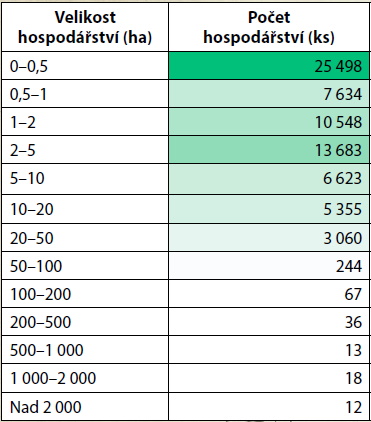
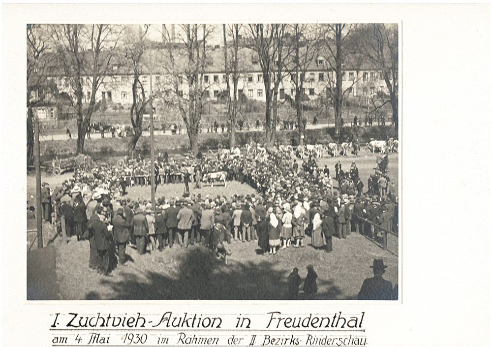
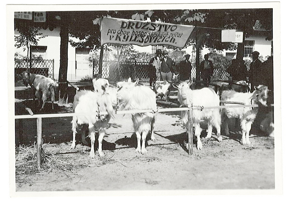
The development of agriculture and forestry, its management and the education of farmers was a major influence of the Silesian Agricultural Council, divided into three national sections, which was responsible for the development and innovation in agriculture, along with numerous other special, cooperative and federative organizations. These provided, among other things, credit for farmers, the purchase of seeds, fertilizers and machinery, and the marketing of produce.
As of 1924, a total of 296 mills were registered in Silesia. In comparison, there were 1658 mills in Moravia and 5148 in Bohemia at that time. A total of 243 mills were associated with agricultural farming, 25 with sawmills, 21 with bakeries, 13 with small hydroelectric power stations and 11 with other types of enterprise.
In Silesia there were still over 80 breweries in the 1860s, the largest of which was Larisch's in Karviná, but by 1923 there were only 15 breweries left. They produced 180,321 hl of beer, including 120,703 hl of draught beer, 47,846 hl of lager and 11,729 hl of beer specials. This is only 3.1 % of the volume of beer production in Bohemia in the same year, but it is 9.5 times more than in Subcarpathian Rus, where a single brewery was sufficient for the whole of this less populous but more extensive country. There were 91 distilleries in Silesia in 1900 and 68 in 1923; the larger and more modern ones were only in Opava and Třanovy. In 1900 there were 10 sugar factories in Silesia, in 1923 there were only five, the most important of which were in Opava, Háj ve Slezsku, Skrochovice, Kateřinky and Vávrovice. Of the dairies, the most important were the central ones in Opava and Moravská Ostrava, which supplied their products mainly to Silesia. In 1923 there were three starch factories in Silesia, mostly processing potatoes in Opava. Important processing plants also included a malting plant in Český Těšín and a cider mill in Třebovice, one of the most modern in the Czechoslovakia in the 1920s.
During the implementation of the first land reform program in 1921-1922, Silesia had the highest relative land take in the Czech Republic - 30.1 % of the land area. The seizure of large estates was dealt with. The largest holders of land subject to the land reform were Bedřich of Habsburg (Principality of Těšín and Frýdek) 64 332 ha, the Larisch-Mönnichs (Fryštát and its surroundings, Horní Těrlicko, Raduň, Studénka and surrounding villages) 11 684 ha, the Liechtensteins (Krnov and Opava estates) 9,648 ha, the Wilczeks (Dobroslavice and other estates around Ostrava), the Lichnovskis (Hradec n. Moravicí, etc.). The reform was aimed, among other things, at strengthening the Czech element in the German regions, and therefore met with disapproval in Silesia.
Although Silesian agriculture was affected by the economic crisis, World War II and especially by the post-war displacement of three-quarters of its original, i.e. German, inhabitants, it has come a long way from small mountain fields to efficient modern agriculture in nearly a hundred years.
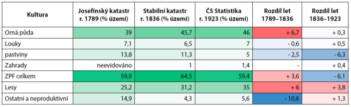
6.9 Agriculture 1948-1989
The whole of Silesia, with the exception of Frýdek, became part of the Greater German Empire after the Munich Agreement in October 1938 (Těšín was part of Poland until the beginning of September 1939). Between 1945 and 1947, the vast majority of the German population was forcibly removed. Their property was confiscated and left to the state or allocated to new settlers. Despite the political understanding of the removal, this meant the loss of continuity in the development of the villages and cultural landscape and the loss of specific knowledge for farming in the predominantly harsh mountain conditions. Silesia was of the least interest to the settlers. Many settlements, especially in mountain conditions, have disappeared and become overgrown or have been deliberately converted to forest. Over time they became uninhabitable and after photographs and criticism in the Western press ("they drove us out and now it's all falling apart"), the army was ordered to raze the unused buildings and replace them with mostly monocultural spruce forests.
Due to the low population density and the considerable dispersion of agricultural land, state farms were established in the western part of Silesia on large areas. The largest area of them was the Bruntál State Farm (74,586 ha), but it was divided into 15 factories. Outside of this, the largest are StS Vítkov (12,328 ha), StS Karviná (9,344 ha) and others. The process of socialization of agriculture was officially completed in 1960, when the socialist sector controlled 92 % of the agricultural land in Czechoslovakia. Of the Unified Agricultural Cooperatives (UAC), the largest were the Litultovice UAC (6,657 ha), the Odry UAC (4,629 ha). Compared to 1948, when almost a third of the working age population was employed in agriculture, 30 years later it was only 11%. However, private farms and typical metal farms have almost completely disappeared. The longest surviving farms were those in the Beskydy Mountains.
Other important agricultural enterprises outside the UAC and StS included the State Fishery OZ Ostrava, OSEVA, the seed farm Javorník, the State Breeding Enterprise, the Bolatice Stud Farm, school farms at the SZTŠ Český Těšín, SZEŠ Opava, SZTŠ Ostrava/Nová Ves, etc.
The creation of the largest possible soil units, especially in the upland and mountain regions, associated with the expansion of arable land at the expense of grassland and pastures, is directly related to the destruction of scattered field greenery (meadows, small wetlands) and thus the easier spread of diseases and pests and massive water and wind erosion, which damages not only the ALF but also neighboring land. Excessive use of chemicals left residues of toxic substances in food chains. From 1937 to 1989, the consumption of industrial fertilizers increased twentyfold, and of nitrogen fertilizers thirtyfold, with negative effects on water and soil conditions, small soil fauna, and common field and forest animals.
Interventions in the water regime of the landscape (dredging, damming of streams, meliorative drainage) have led to accelerated water runoff, drying out of the soil and thus, in turn, to a faster spreading flood wave. The crop mix contained a high proportion of maize requiring heavy pesticide support and, conversely, a low proportion of clover reseeding and improving legumes fertilized with manure.
The still unattained self-sufficiency in basic food production within the Eastern Bloc prompted the implementation of plans supposed to lead to the intensification of agriculture, but with side effects. The Ministry of Agriculture and Food determined which crops would be grown in which districts because of the concentration of mechanization and processing plants in fewer areas. This resulted in multi-catastrophic UACs with a normal distance of over 20 km between the two extreme points and farms with a minimum of 500 cattle, 5,000 fattening pigs or 120,000 broilers (chicken breed). This placed high demands on high-capacity stables, pits and distances for the loading of feed. It must be admitted, however, that as a result of the provision of machinery, the breeding of resistant varieties and other appropriate measures, Czechoslovak agriculture eventually achieved practically full self-sufficiency in basic commodities during the 1980s.
One of the least fortunate impacts of socialist agriculture on the landscape has been the replacement reclamation schemes in place since the early 1980s. The condition was that for every hectare of land permanently withdrawn, 1-5 ha (depending on the suitability) of temporarily barren or other land should be returned to agriculture. Thus, in the Jeseníky Mountains, Beskydy Mountains and their foothills, uncultivated land, sloping, stony, waterlogged, mostly completely unsuitable for agriculture, was sought for years. Their exploitation was very wasteful and, moreover, usually disturbed the valuable natural environment.
Agricultural activity, Úvalno, 1950. SOkA Bruntál
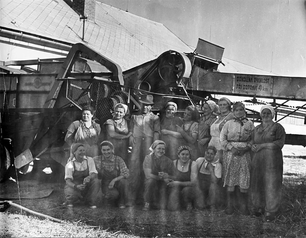
Click on the image to view the gallery..
According to somewhat futuristic visions, the Karviná district was to change its face completely. Apart from the city of Karviná itself, a new landscape with agricultural land cultivated without heavy machinery, forest parks and water areas was to be created by 2030 on the mined and completely overgrown territory.
Socialist agriculture ensured food security for Silesia, but not food safety. It can be stated that it achieved its goals, but also that the trend could not be continued.
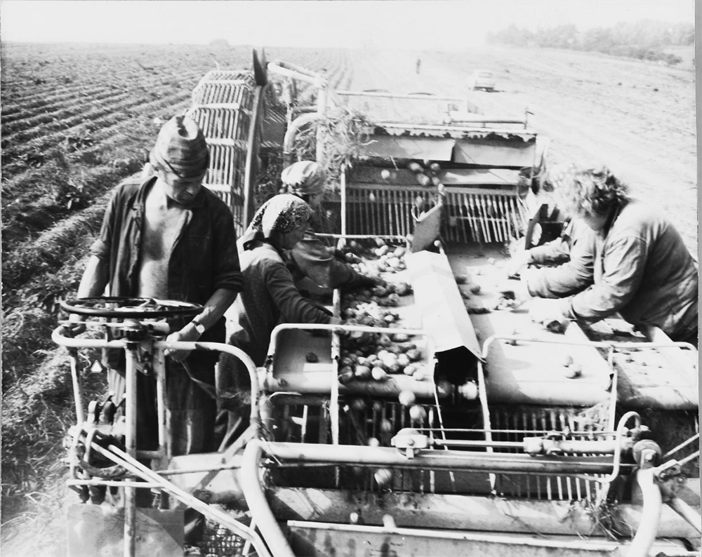
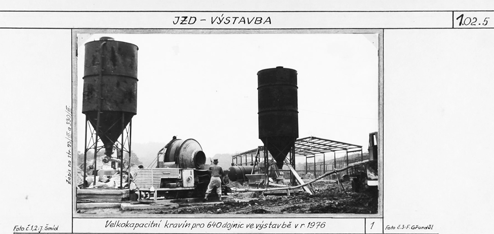
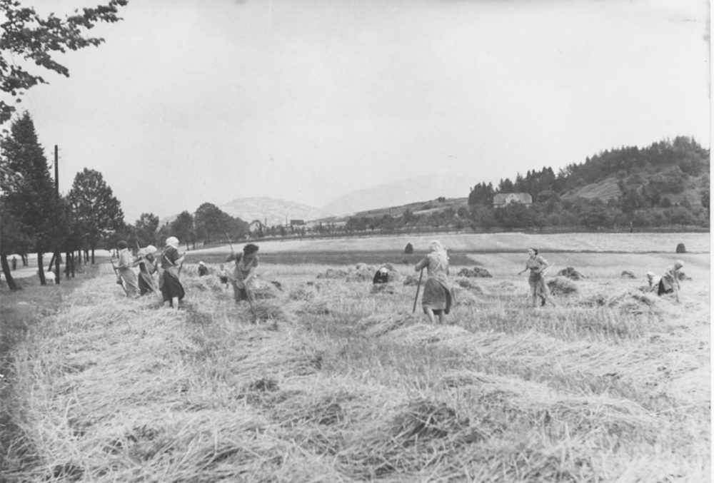
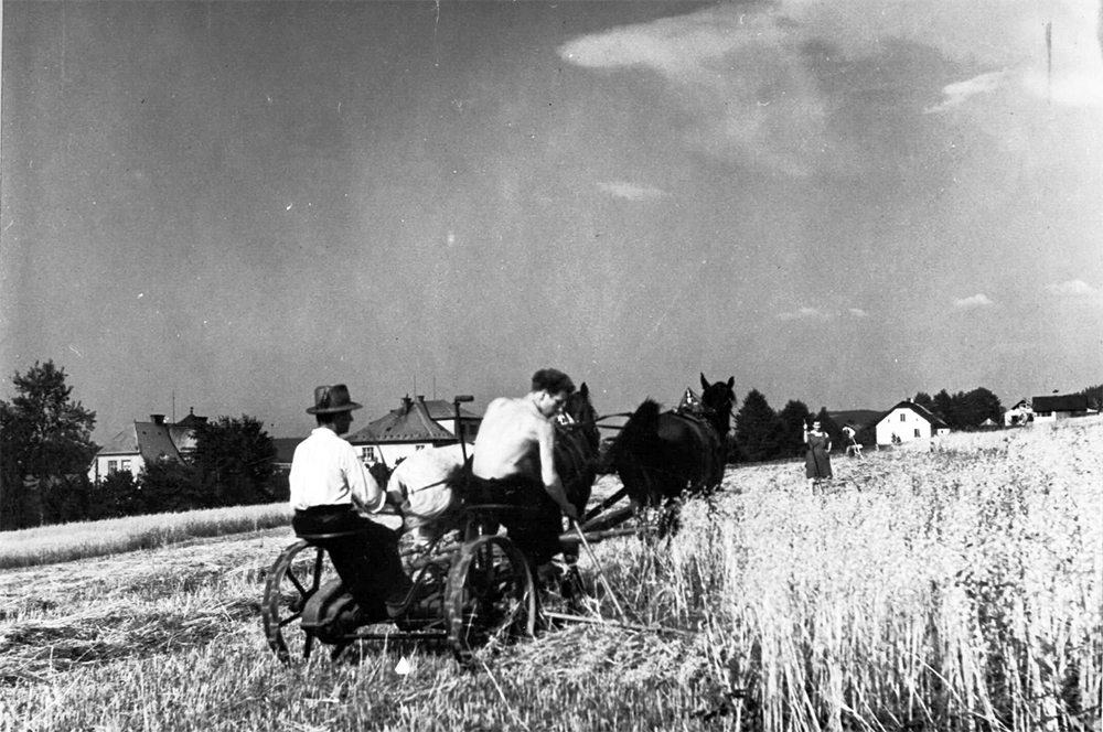
6.10 Agriculture 1990-2020
The cultivation of medicinal herbs, especially chamomile and ergot, has maintained a higher proportion of cultivation for some time. In livestock production, livestock numbers (cattle) have fallen significantly, but livestock productivity has risen significantly. However, there has been an overall reduction in meat and milk production. There has also been a similar decline in the rearing of waterfowl and fish on ponds.
The size structure of enterprises varies considerably within the region. While in the Frýdek-Místek district (where there was almost no German emigration) there are a considerable number of smaller farmers up to 10 ha and in the range of 10 to 50 ha, and the average farm size is 54 ha, in the Bruntál district large farms with an average area of 274 ha predominate. In Bruntál district there are only 111 farmers under 50 ha, while in Frýdek-Místek district there are 548 farmers. The size structure of agricultural holdings in the districts of Jeseník, Opava and Nový Jičín is between these values.
Changes in agricultural employment. Some characteristics of the Czech agricultural sector are close to the EU average, such as the share of workers in the primary sector of the economy. During the 1990s, the share of people employed in agriculture fell significantly and has been around 3 % for a long time. Also, the share of agriculture in the gross value added of the region fell from 2.7 % to 2.1 % over this period.
The decline of mountain farming. As a result of the pressure on the profitability of farming, farming in less agriculturally suitable areas declined significantly in the first half of the 1990s, which also applies to more than half of Silesia (see LFA map). In the foothills, in sloping areas and especially at higher distances from administrative centers and therefore sources of employment, arable land was converted to permanent grassland, among other things to protect against erosion. For the same reasons, but also for reasons of low efficiency, land in these areas is also being converted from ALF to forest land.
Suburbanization and other encroachments around larger cities. Since the mid-1990s, throughout the following decade, agricultural land has been significantly, but basically throughout the entire period under review, taken for the purposes of residential and commercial production construction, transport and technical infrastructure. The relaxation until the end of the 1980s of the very strict (as described above) legislation for the protection of the land fund allowed a strong pressure for building in the undeveloped area of the municipality. This applies in particular to the wider area of the entire Ostrava agglomeration, as well as to all the larger Silesian towns. The Moravian-Silesian Region has the second highest share of built-up areas after Prague, at 2.2 % of the total area.
Change in crop and livestock structure. The structure of cultivated areas has also changed and is no longer based on a food self-sufficiency plan but primarily on market demand. The production of cereals, potatoes and sugar beet has declined. On the other hand, the production of oilseeds (mainly oilseed rape) has increased due to the growing preference for biofuels and maize as a basic raw material for biogas plants, as the most important source of renewable energy in the Czech Republic. In the Opava region, the the cultivation of medicinal herbs, especially chamomile and ergot, has maintained a higher proportion of cultivation for some time. In livestock production, livestock numbers (cattle) have fallen significantly, but livestock productivity has risen significantly. However, there has been an overall reduction in meat and milk production. There has also been a similar decline in the rearing of waterfowl and fish on ponds.
Farmland prices. The lowest average price in Silesia is in the cadastral area of Ludvíkov pod Pradědem (village Ludvíkov, district Bruntál) – CZK 0.72/m2. The highest average price is 9.86 CZK /m2 in the area of. Jarkovice (municipality of Opava, district of Opava). The average price of agricultural land in the Moravian-Silesian Region, according to Decree No. 287/2007 Coll., is CZK 4.04/m2, which is the 9th highest among the regions of the Czech Republic.
Environmental aspects in agriculture. Since the early 1990s, efforts to become more and more environmentally friendly have brought about a decline in the use of fertilizers and pesticides, as well as new forms of farming - organic farming and agro-tourism, which, thanks to the high mountainous nature of Silesia, have good conditions here.
The agricultural subsidy system has also changed. Preference is given to the non-productive and environmental functions of agriculture, such as grassing, biotechnical anti-erosion and self-correcting measures, increasing ecological stability, ecosystem services, etc.
Land management and other impacts of agriculture on the landscape. A significant, most visible phenomenon of the new landscape management is currently land improvement, which is one of the key factors of contemporary rural development. Today, it is far from being just a matter of resolving land ownership relations, but mainly about the road network, revitalization, anti-erosion, anti-flooding, eco-stabilization and aesthetic measures in the landscape.
Conversely, virtually no drainage was implemented in the 1990s for reasons of maintaining an optimal water regime in the landscape and increasing drought, and this has been gradually catching up since the 1970s and 1980s. Even so, in 2000, 83,378.84 ha of drained areas were registered, which represented 29.18 % of the area of the region's ALF, 4 % more than in the whole country. On the other hand, only 684.66 ha of land under irrigation was registered at the same date, i.e. 0.24 % of the region's ALF, well below the national average of 3.63 %. The largest share of drained areas (38 %) is in the Novojičín region, while the largest share of areas under irrigation is in the Opava region.
Conclusion. Recently, soil management practices have been improved to prevent erosion, biodiversity loss and improve water retention in the landscape. Drought and weather fluctuations are also becoming a major problem in Silesia. EU support for the circular economy and environmental measures are positive in this respect.
6.11 Prerequisites for the Development of Industry until 1848
In the case of both the western and eastern parts of Austrian (Czech) Silesia, we are dealing with a strongly mountainous and, to this day, heavily forested region, from whose mountainous character only the mountainous or gently undulating Ostrava basin, which divides the two parts, stands out. It was the natural conditions that largely determined the economic development of the region, which, moreover, whether as part of “Greater” Silesia or, after 1742, as a newly created crown land, was on the periphery of the economic structures of the Habsburg Confederation.
The hitherto prevailing system of purchase, consisting of a "privileged", i.e. contractually granted right to the merchants by the authorities to buy yarn and cloth from subjects, gradually began to take on a more sophisticated form of freight, where the merchant not only bought the finished goods, but also "loaded" the manufacturer with raw material and then took the finished goods under predefined conditions. However, “real” linen manufactories were only rarely encountered in Austrian Silesia until well into the 19th century. Textile entrepreneurs as well as primary producers continued to prefer the more economically viable freight system and only set up manufactories, especially centralized ones, in cases of more technologically demanding production stages such as finishing, bleaching or dyeing. However, following the new raw material base and concentration of finishing work, in the first decades of the 19th century, linen centers such as Andělská Hora, Bruntál, Frývaldov, Vrbno pod Pradědem, Zlaté Hory and Frýdek began to emerge, some of which turned into modern linen and, in the case of Frýdek, cotton industrial centers in the second half of the 19th century. On the other hand, in the case of woolen fabrics, which, unlike linen, were mainly produced in towns, centralized manufactories began to gain importance earlier and by the end of the 18th century they began to displace the products of guild masters. In connection with this process, industrial centers such as Těšín, Opava, Bílovec, Odry and Horní Benešov arose. As the 19th century progressed, towns of Krnov and especially Bílsko began to gain significance, which, together with the neighboring Halician region of Bělá, ranked third after Brno and Liberec in terms of the volume and value of woolen fabric production in the Habsburg Monarchy.
The traditional ore processing in Austrian Silesia could be ranked alongside the main textile industry. As the renewal of precious metal mining, especially gold, proved unprofitable in most cases in the mid-18th century, state and private prospectors focused their attention on new iron ore deposits. Although the quality of the Jeseník and Beskydy hematites was not high, a number of iron ore mines and forest ironworks were opened in both the western and eastern parts of the country in the second half of the 18th and early 19th centuries. The main center of iron metallurgy in the Jeseník ironmaking region was Bruntál, where the Bishopric of Wrocław (Železná u Vrbna pod Pradědem), the Order of German Knights (Malá Morávka, Ludvíkov, Karlova Studánka) and several other entrepreneurs operated their ironworks. In the eastern Carinthian ironworking region, which stretched in the foothills of the Moravian-Silesian Beskydy Mountains, the Prince's Chamber of Těšín (Ustroň, Baška, Lískovec, Třinec) established itself in the Silesian part, and the Archbishopric of Olomouc (Frýdlant nad Ostravicí, Čeladná) in the Moravian part. As the preceding list indicates, all metallurgical production was concentrated near ore deposits in the densely forested mountain and foothill parts of the country, which offered, as metallurgical experts of the time believed, inexhaustible supplies of fuel.
The technological revolution that the iron industry has undergone since the end of the 18th century. The iron industry of Austrian Silesia was essentially untouched by the revolution in the iron industry in Western Europe, including the Prussian part of Silesia, which was mainly characterized by the transition to the smelting of coal with coke, apart from the unrealized project of the Scottish metallurgical entrepreneur John Baildon, who in 1809 proposed to build a copper puddling and rolling mill on one of the rivers flowing through the future Ostrava-Karviná district, the Habsburg monarchy had to wait until 1828 to build its first ironworks based on mineral fuels, when it was decided to build the so-called "Ironworks of the Czech Republic," so-called Rudolf's Smelter in Vítkovice. Similarly located to the ironworks, i.e. close to mineral resources, especially wood, were the numerous glassworks and handmade paper mills.
Post from an epoch representing one of the main centers of the Australian-Silesian fiber industry - Bruntál. SOkA Bruntál
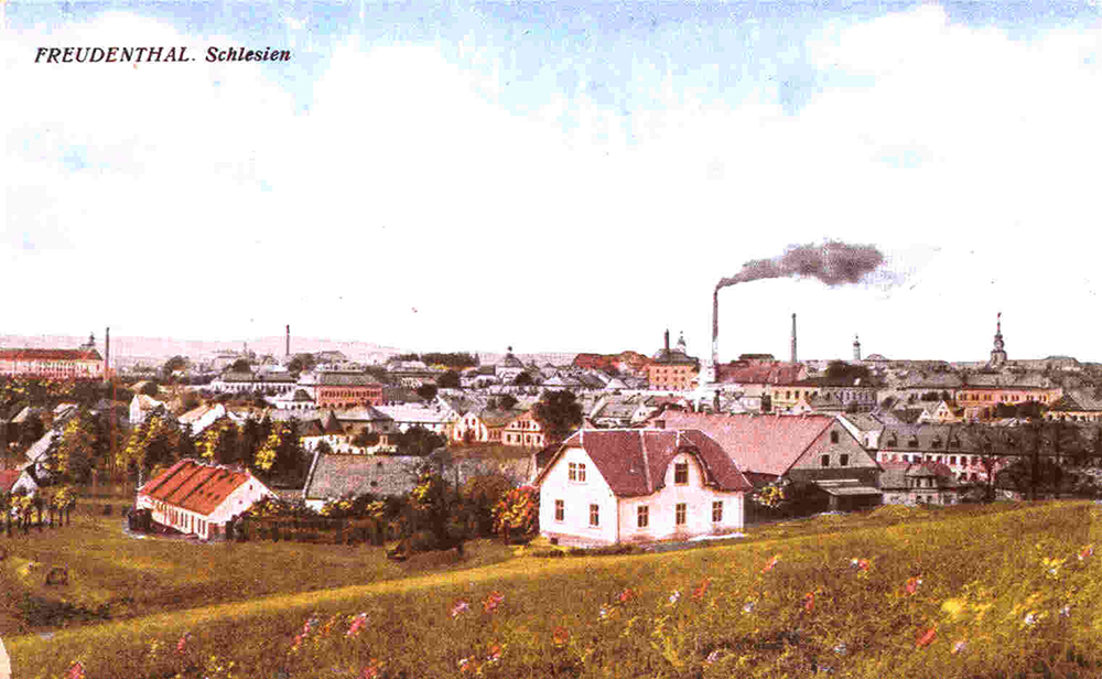
Click on the image to view the gallery..
In summary, we can state that by the middle of the 19th century, several proto-industrial islands had developed in Austrian Silesia, oriented primarily towards the dynamically expanding textile industry (Bílsko, Krnov, Opava, Bílovec) and the iron industry (Ustroň, Třinec), or both at the same time (Frývaldovsko, Bruntálsko, Frýdecko).
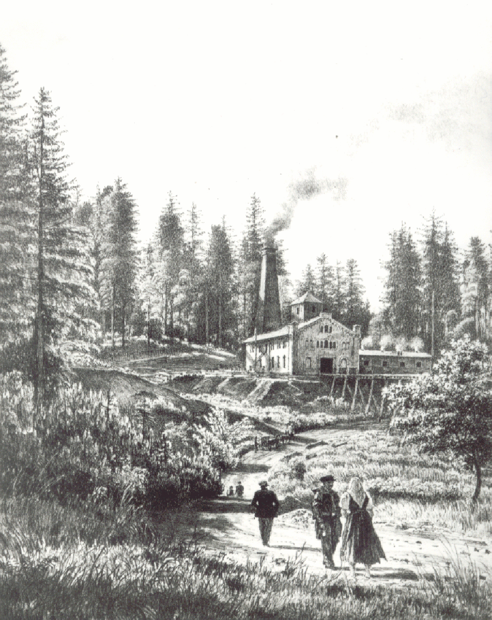
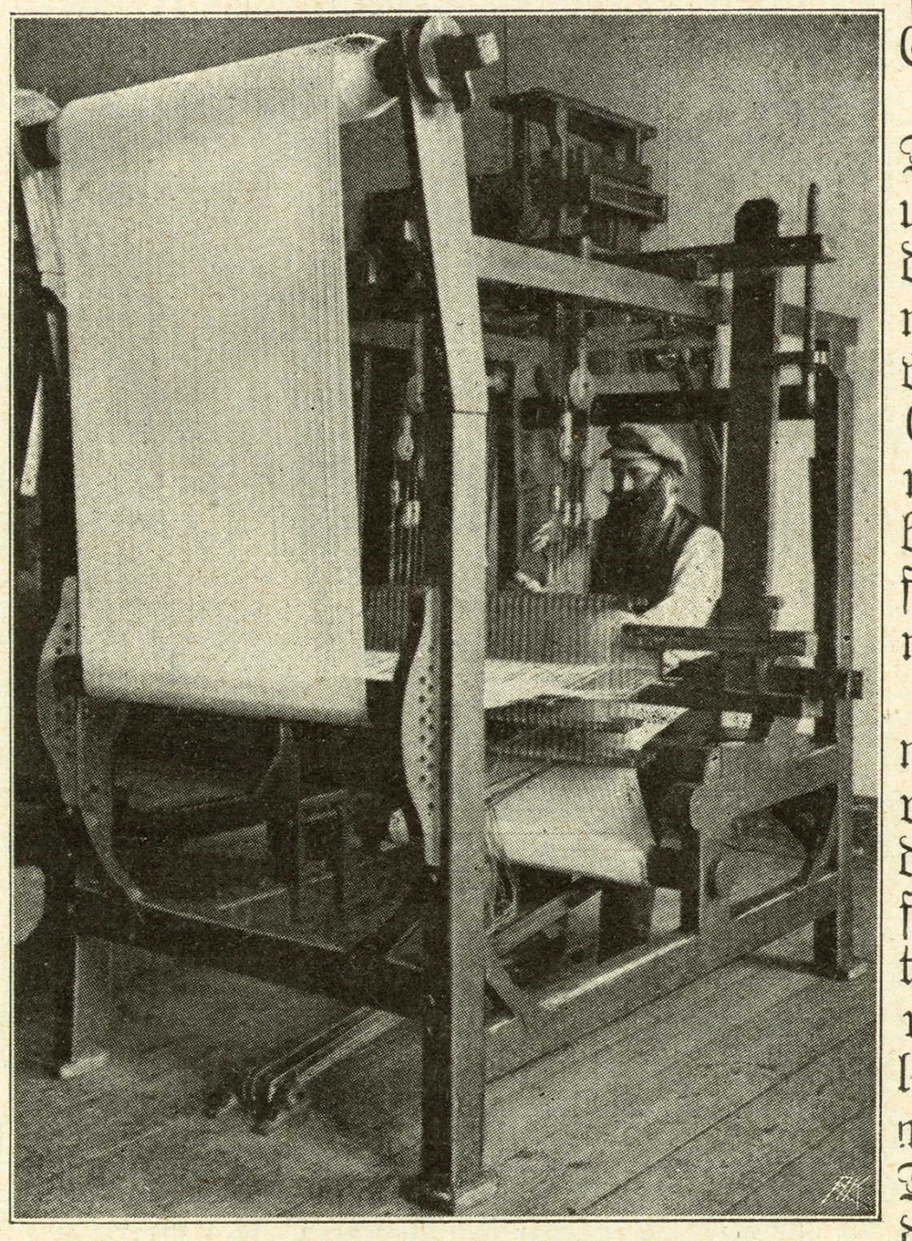
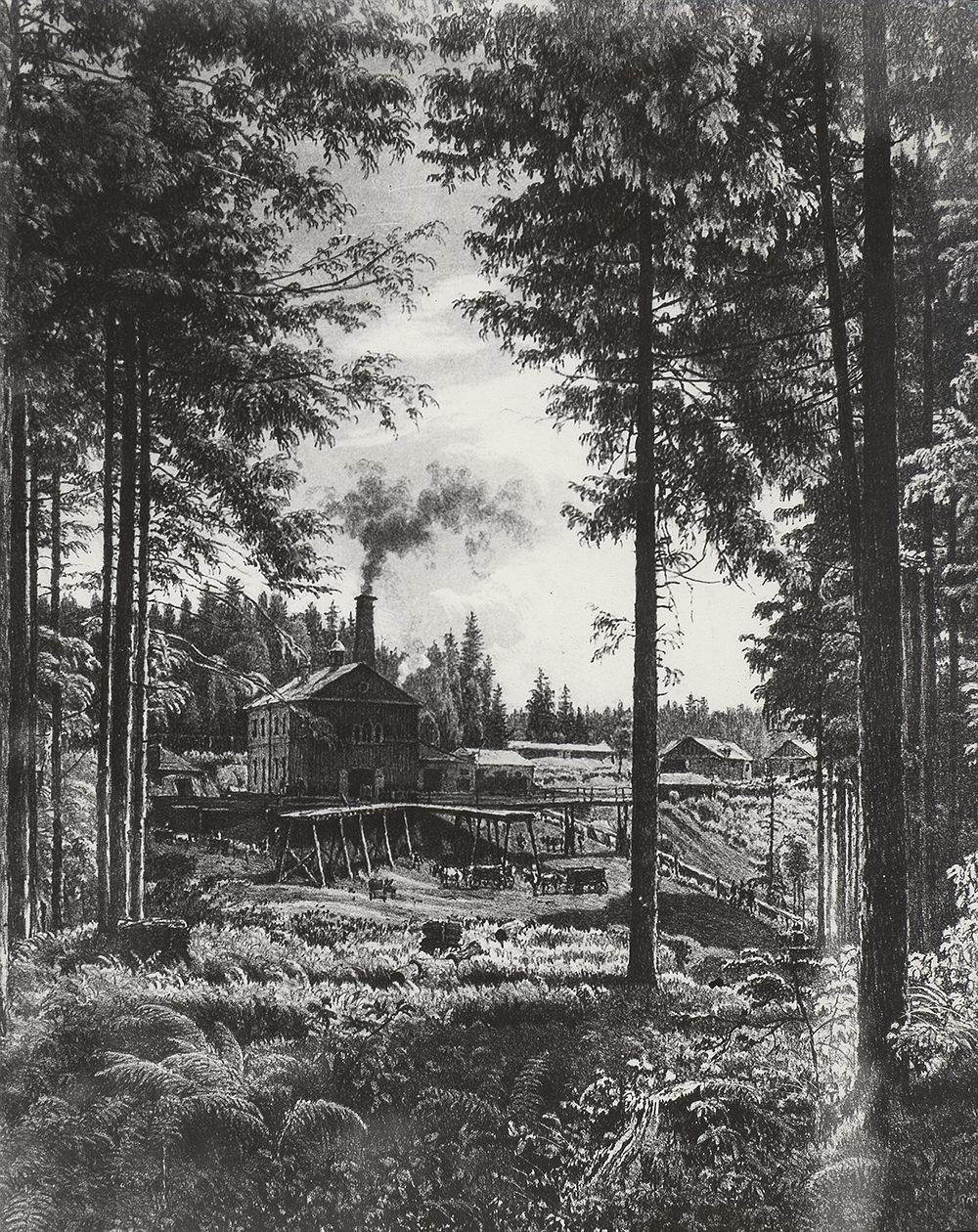
In summary, we can state that by the middle of the 19th century, several proto-industrial islands had developed in Austrian Silesia, oriented primarily towards the dynamically expanding textile industry (Bílsko, Krnov, Opava, Bílovec) and the iron industry (Ustroň, Třinec), or both at the same time (Frývaldovsko, Bruntálsko, Frýdecko).
6.12 Industrial Development between 1848 and 1945
In terms of the sectoral structure and the geographical location of the main industries, a major turning point for Austrian Silesia was marked in the middle of the 19th century. The first modern puddling furnace in Vítkovice in 1830 and the subsequent massive expansion of the iron industry in Ostrava can be regarded as a pivotal moment. Another significant boost for the industrial development of the region, especially that part of it which we now refer to as the core of the Ostrava industrial area, was undoubtedly the establishment of the joint-stock company of the exclusively privileged Emperor Ferdinand's Northern Railway in 1836. The construction of the railway from Vienna to Halych required more and more railway material, which accelerated the development of the Vítkovice iron complex.
In addition to the Vienna and Brno industrial areas, the Ostrava-Moravian sugar mills, which were established after 1848 along the main route of the Northern Railway, also became part of the Karviná district. After the revolutionary events in Hungary subsided, the connection with Pest was also permanently opened in 1850, although the privatization of the state railways in the mid 1850s and the subsequent disputes over the construction of new connections with Lower Hungary and further to the south-east complicated the situation for ten years. From 1866-1872, the transversal Košice-Bohumín railway joined the backbone of Emperor Ferdinand's Northern Railway, which had become the artery of economic life not only in Austrian Silesia, but also in Moravia, Lower Austria and western Halych, opening up connections with Upper Hungary and enabling the import of much-needed iron ore for local ironworks. The railway network was further expanded by the construction of the Northern Railway sidings, the activity of new railway carriers, the construction of a network of coal and steel railways in the Ostrava-Karviná region and the opening of a number of local and urban connections. Thanks to these steps, important railway junctions were established, such as Svinov, Přívoz, but especially Bohumín, where the railway lines of the most important carriers, i.e. the Northern Railway of Emperor Ferdinand, the Košice-Bohumín Railway and, through the Vilém Railway, the Prussian Upper Silesian Railway, were connected.
The modern transport infrastructure, abundance of fuel, metallurgical semi-finished products and other products of the mining and metallurgical industry attracted other investors to the core of the Ostrava industrial area, which began to concentrate a decisive part of the economic activities of Austrian Silesia and northeastern Moravia. From the mid-19th century onwards, new industrial centers were built along the transport arteries and especially near the vibrant railway junctions. From the mid-19th century onwards, other industrial plants were established and new industries were born, which were directly related to the dominant mining and metallurgical primary production (co-industry, engineering, chemistry), took advantage of good transport services (chemistry, papermaking), responded to the demand of the expanding industrial agglomeration (building materials, brewing, distilling), or combined the above-mentioned trends in a suitable way.
But it was not just the core itself. Other locations close to the railway lines were also becoming interesting for investors, which led to the formation of smaller industrial centers that took advantage of the proximity of the Ostrava agglomeration, but at the same time benefited from the advantages offered by more distant locations (cheaper land and labor, sales opportunities, etc.). In such a specific position was, for example, the large industrial-agricultural complex of the The Princely Chamber of Těšín, which was based on the older tradition of metallurgical and ironworks operations in Pobeskydy. However, with the change in the fuel base of the Central European iron industry, which took place definitively in the middle of the century, they also had to considerably modernize and start using hard coal from their own mines in the Ostrava-Karviná district, which would not have been possible on a wider scale due to their distance if the Košice-Bohumín railway and the Ostrava-Frýdlant railway had not been put into operation in the early 1870s. Thanks to this "shortening of distances," metalworking and engineering plants in Branka u Opavy, Frýdlant nad Ostravicí, Kopřivnice and Studénka were able to develop, while some manufacturers from the more distant Frývaldov or Bruntál were forced to, among other things, work in the Czech Republic. Due to high transport costs, production had to be stopped, the product range significantly modified or transferred closer to the mines and smelters, as evidenced by the establishment of wire mills in Bohumín or zinc sheet rolling mills in Přívoz.
It is not that the traditional textile centers stagnated completely; they also gradually developed and transformed their production, but they could not compete with the Ostrava industrial area in terms of volume and value of production. While during the first phase of industrialization the textile industry in Austrian Silesia maintained a privileged position, accounting for almost 70% of the gross value of the country's industrial output in the early 1840s, from the 1860s onwards, as in the monarchy as a whole, this proportion began to decline in favor of heavy industry, until it fell below 20% before World War I. The most important sector of the textile industry, given the mechanization of production, was the woolen industry, followed by the linen and cotton industries. In the second half of the 19th century, the town of Bílsko emerged as the most important center of the textile industry in Austrian Silesia and at the same time as an “independent” industrial area, which, together with the neighboring Halychan town of Bělá, formed an industrial conurbation specializing in woolen production, the manufacture of textile machinery and equipment, but also, for example, papermaking. The town of Krnov, which in the second half of the 19th century took over the role of the wool industry leader in the western part of the country, had a similar profile, but not to the same extent. On the other hand, the towns of Frývaldov and Bruntál became the largest linen centers, while cotton production developed predominantly in Frýdek and the neighboring Moravian town of Místek.
Silesian agriculture also underwent a fundamental transformation, as it was still deep into the 19th century. It was searching for a way to cope with the geomorphological and climatic handicaps and to increase the volume and value of production, while with the advancing industrialization and demographic growth it was forced to change its production preferences and began to focus almost exclusively on supplying industrial centers (meat, milk, wood, etc.) or the food industry (sugar mills, distilleries, breweries, mills). In spite of these structural changes, Austrian Silesia had long been dependent on the import of food from the Prussian part of Silesia, Moravia, Hungary and Halych, especially grain, potatoes and cattle, which, however, was largely due to the technological possibilities of preserving transported goods. The transformation of the country from an agrarian to an agro-industrial one also resulted in the increasingly rapid depopulation of the Silesian countryside, especially in the infertile regions.
View of Moravian Ostrava. In the foreground, the Polish Ostrava Trinity Pit. AMO
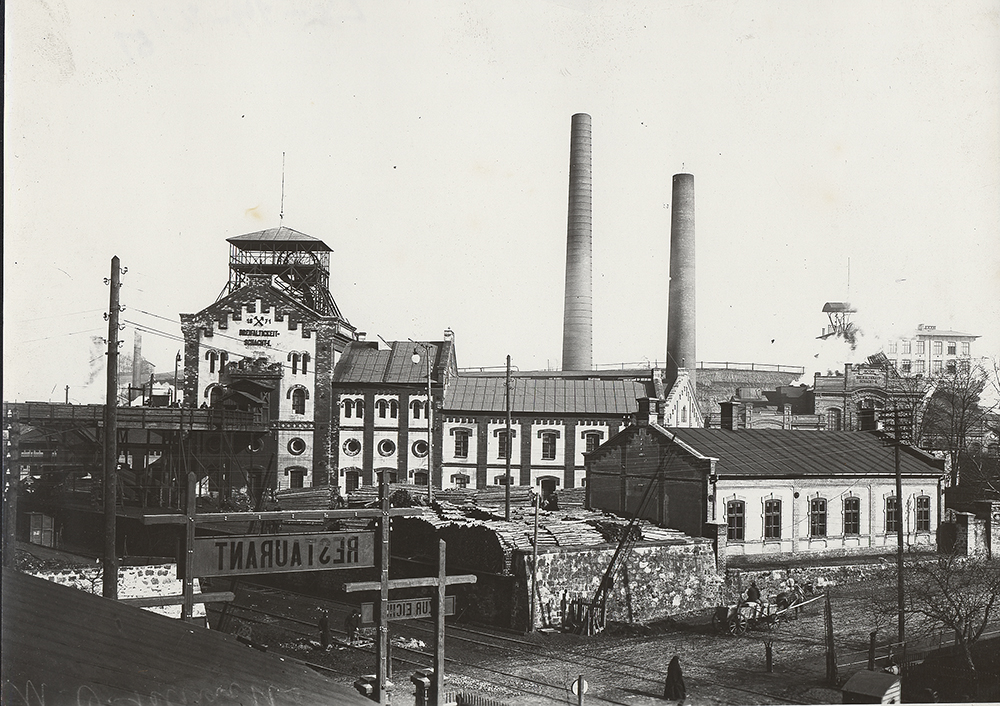
Click on the image to view the gallery..
The economic transformation that Austrian Silesia and the so-called Moravian Wedge underwent, especially in the course of the long 19th century, naturally had a significant impact on the transformation of socio-professional structures, which are one of the key indicators of the economic development of society. By the end of the 19th century, Austrian Silesia had transformed into one of the most industrialized lands in the Austro-Hungarian Empire. Only in Lower Austria, with Vienna as the center of the monarchy, did the share of the secondary sector exceed that of the primary sector in 1890, while the tertiary sector was also significantly higher. According to this indicator, however, the small region of Vorarlberg (40.3%) and Silesia (38%) were already following at this time, followed by Bohemia (36.6%). And it was these three lands which, even before World War I, had joined the ranks of Lower Austria by changing their agrarian character and becoming industrial-agrarian, with a higher share of the secondary sector than the primary sector.
Massive industrialization continued after the collapse of the Habsburg monarchy and the establishment of independent Czechoslovakia. Although the composition of invested capital changed somewhat, with French and Czech investors entering key industrial sectors such as metallurgy, mining, coke production, heavy engineering and heavy chemistry at the expense of Austrian (Viennese) and Reich-German capital, the sectoral structure remained unchanged, but was only further developed and modernized.
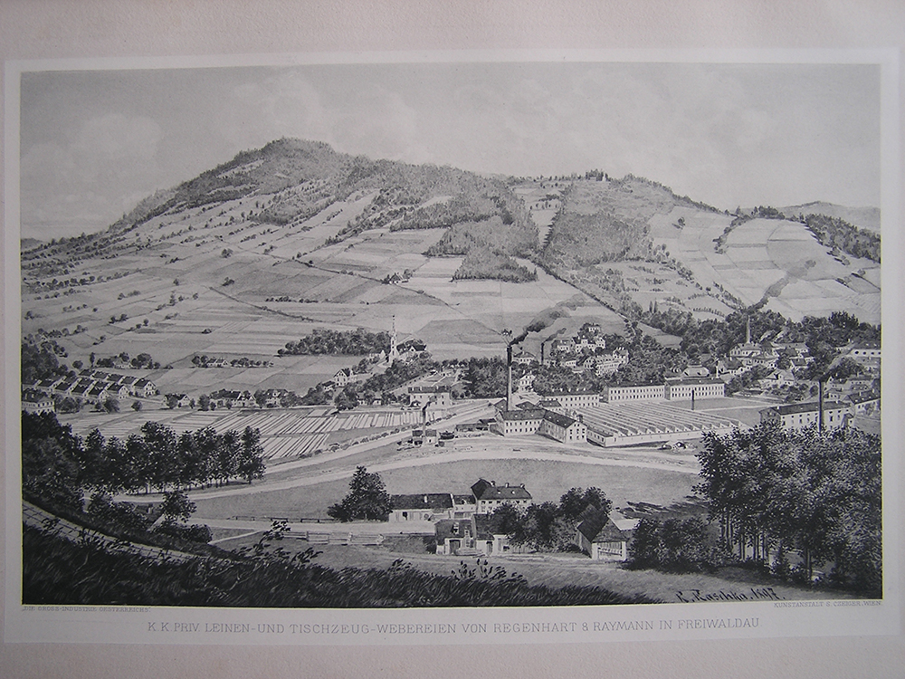
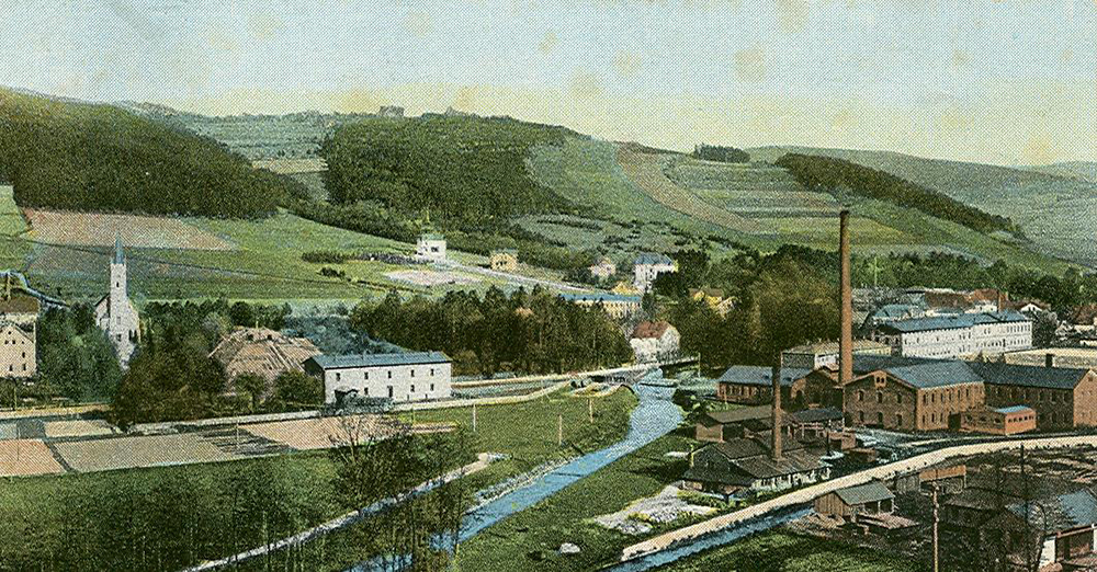
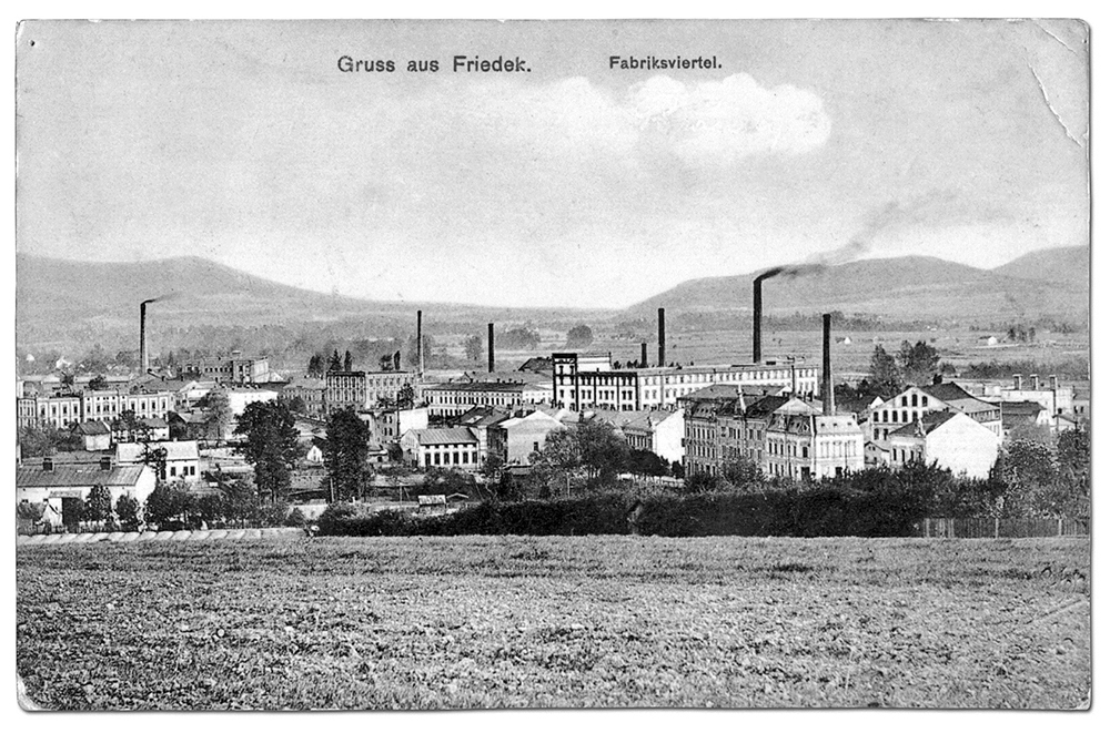
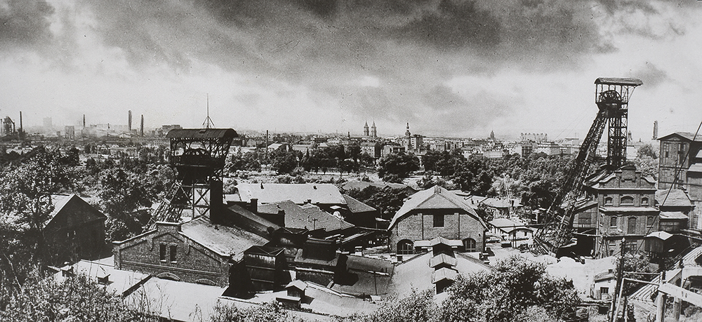
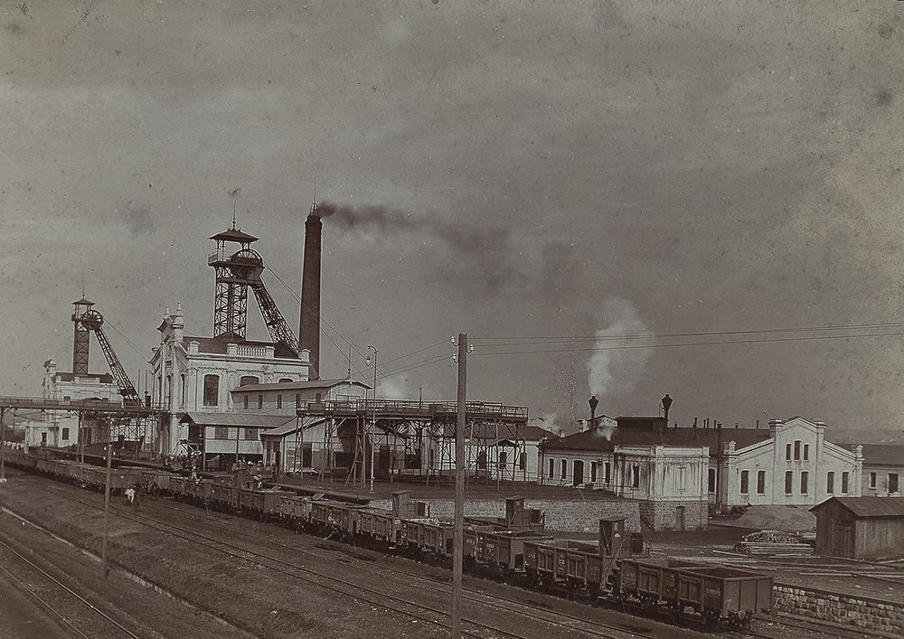
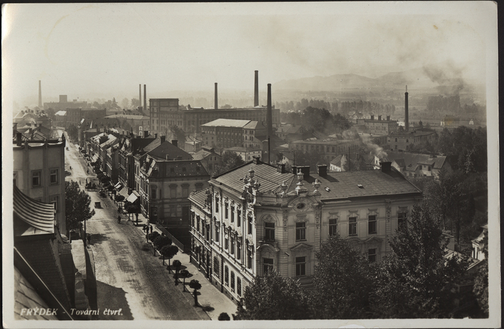
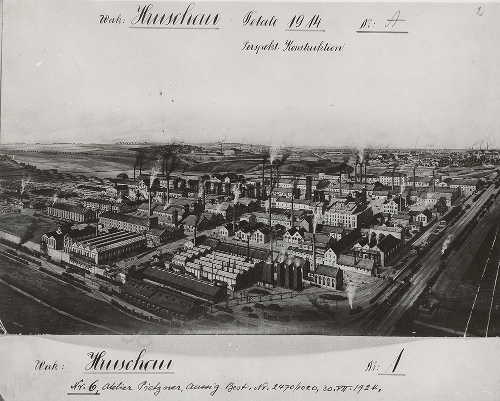
6.13 Industrial Development after 1945
After World War II, the heavy and mining industries played a key role in the economy of Czech Silesia. Coal mining and the production of pig iron, steel, heavy engineering products, petrochemicals, etc. were concentrated mainly in the Ostrava-Karviná district (Ostrava, Karviná, Orlová, Petřvald) and in the eastern part of the country (Třinec, Frýdek-Místek, Bohumín). The western part of Czech Silesia, on the other hand, continued to be dominated by the textile industry (Jeseník, Bruntál, Krnov, Bílovec), although mining of ores, granite, slate and other minerals, engineering production (Opava, Branka u Opavy, Česká Ves, Malá Morávka), etc. However, the scale of these activities was much smaller than in the eastern part of the country. Frýdek-Místek in Silesia and Moravia was also an important center of the textile industry.
One of the major projects, the implementation of which started as early as 1942, but began to receive significant priority especially in the last years of the war in connection with the Allied bombing of the western territories of the Third Reich, was the construction of the so-called Southern Plant in Kunčice, originally designed as a branch plant of the nearby ironworks in Moravian Vítkovice. After the end of the war, it was completed as an independent complex with complete iron production, separated from Vítkovice Ironworks in 1952 and named Nová hut' Klement Gottwald in honor of the then Czechoslovak president.
It was obvious soon after the end of the war that the heavy and mining industries would continue to play a decisive role in the economic life of Czech Silesia. First of all, the efforts to rebuild the war-torn national economy, with the deepening tension between the people's democratic "East" and the capitalist "West," but increasingly also growing arms production, required the increased production of coal, pig iron, steel, heavy engineering products, petrochemicals and other industries, strongly represented in the eastern part of Czech Silesia and Ostrava.
A significant moment that affected the operation of strategic sectors of the national economy for forty years was the promulgation of the Decree of the President of the Republic on the nationalization of mines and some industrial enterprises at the end of October 1945, which affected all important companies and factories in the territory of Czech Silesia. Already in the spring of 1946, the national enterprise Ostrava-Karviná Coal Mines Ostrava (from 1950 Ostrava-Karviná Mines, n.p.) was established by decree of the Minister of Industry, which covered coal mines, coke plants, power stations, construction companies, estates and forests that had previously belonged mainly to private miners and joint-stock companies. As the old coalfields were gradually depleted and mining was increasingly costly, new openings were made in the eastern, Karviná part of the district (ČSM Mine) and in the direction of Frýdek-Místek (Paskov Mine). In the metallurgical industry, in addition to the already mentioned Klement Gottwald New Smelter and Vítkovice Ironworks, the blast furnace complex of Třinec Ironworks played an important role, and among the processing and engineering enterprises, Bohumín Ironworks and Wireworks, Frýdek-Místek Sheet Metal Rolling Mill, Kovona Karviná and a number of other plants. The highest priority was also given to building up the chemical industry. In 1958, the national enterprise Moravian Chemical Plants (MCHZ) was established, which included the main plant Dusikárny Ostrava (nitrogen production plant) and the subsidiary enterprises Hrušovské chemické závody in Hrušov (chemical plants), which also included the Petrovice plant, Ostravit Ostrava, Bohumínské chemické závody (chemical plants), Přerovské chemické závody (chemical plants) and Fosfa Poštorná (phosphorus processing).
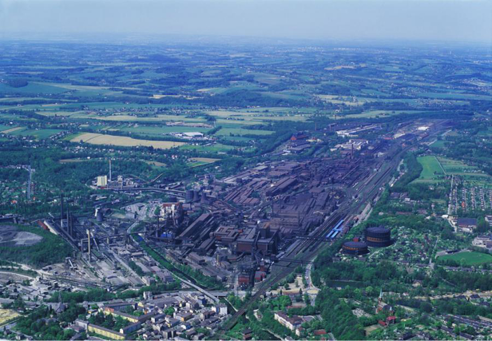
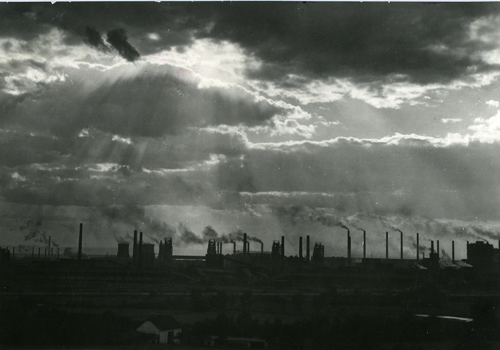
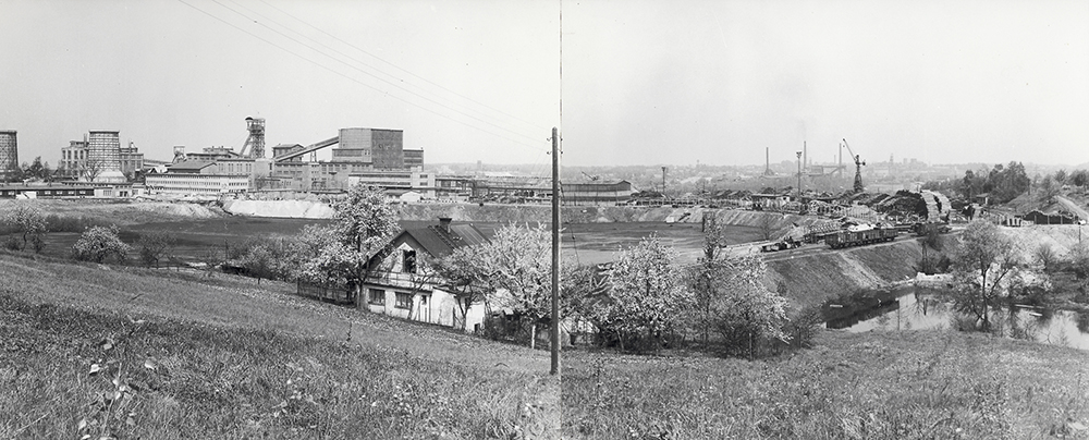
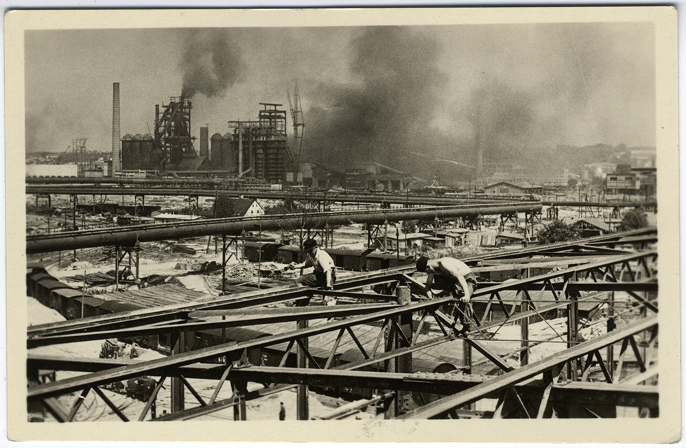
In the western, predominantly German-populated part of Silesia, the situation was even more complicated. After the removal of the Germans, some areas remained completely displaced, and resettlers, whether from the Czech interior or from Eastern Europe and the Balkans, were unable to replace their labor potential. The situation was particularly difficult in the region's traditional textile industry, which, unlike logging or ore mining, required a more skilled workforce. The textile mills in the westernmost part of Czech Silesia in the Bruntál and Jeseník regions became part of the national enterprise Moravolen, the woolen textile mills in Krnov were concentrated in the national enterprise Karnola; the well-known Bílovec manufacturer of small metal goods and clothing accessories, MASSAG, was incorporated into the national enterprise KOH-I-NOOR, the Odra rubber factories of Schneck & Kohnber- ger became part of the national enterprise Optimit, and so we could go on. The textile plants in Frýdek-Místek, the most important center of the eastern part of Czech Silesia, soon after the war merged into Silesian Cotton Mills, n.p.
7. IDENTITY, SATISFACTION AND SITES OF MEMORY
CONTENTS OF THE CHAPTER
7.1 Historical Development of Silesian Identity
Ph.Dr. Oľga Šrajerová, CSc. (SZM)
7.2 Comparison of Sub-regions Based on Sociological Research
Ph.Dr. Oľga Šrajerová, CSc. (SZM)
7.3 Jeseník Region
PhDr. Andrea Hrušková (ACC), doc. Ing. Lubor Hruška, Ph.D. (ACC)
7.4 Opava Region
PhDr. Andrea Hrušková (ACC), doc. Ing. Lubor Hruška, Ph.D. (ACC)
7.5 Hlučín Region
PhDr. Andrea Hrušková (ACC), doc. Ing. Lubor Hruška, Ph.D. (ACC)
7.6 Těšín Region
PhDr. Andrea Hrušková (ACC), doc. Ing. Lubor Hruška, Ph.D. (ACC)
7.7 Ostrava Region
PhDr. Andrea Hrušková (ACC), doc. Ing. Lubor Hruška, Ph.D. (ACC)
7.8 Sites of memory
doc. PhDr. Andrea Pokludová, Ph.D. (OU)
7.9 Vanished German Memory - Hans Kudlich (*1823 - †1917)
prof. PhDr. Pavel Kladiwa, Ph.D. (OU)
Ph.Dr. Oľga Šrajerová, CSc. (SZM)
7.2 Comparison of Sub-regions Based on Sociological Research
Ph.Dr. Oľga Šrajerová, CSc. (SZM)
7.3 Jeseník Region
PhDr. Andrea Hrušková (ACC), doc. Ing. Lubor Hruška, Ph.D. (ACC)
7.4 Opava Region
PhDr. Andrea Hrušková (ACC), doc. Ing. Lubor Hruška, Ph.D. (ACC)
7.5 Hlučín Region
PhDr. Andrea Hrušková (ACC), doc. Ing. Lubor Hruška, Ph.D. (ACC)
7.6 Těšín Region
PhDr. Andrea Hrušková (ACC), doc. Ing. Lubor Hruška, Ph.D. (ACC)
7.7 Ostrava Region
PhDr. Andrea Hrušková (ACC), doc. Ing. Lubor Hruška, Ph.D. (ACC)
7.8 Sites of memory
doc. PhDr. Andrea Pokludová, Ph.D. (OU)
7.9 Vanished German Memory - Hans Kudlich (*1823 - †1917)
prof. PhDr. Pavel Kladiwa, Ph.D. (OU)
7.1 Historical Development of Silesian Identity
Silesian identity is tied to a specific territory in the Silesia region, in which it is deeply rooted. It has been shaped by the people who have lived there for centuries. It is shaped not only by the identification of people with this territory, but also by their common collective memory, identification with the culture, traditions, shared values and patterns of behavior with the society of the people living there.
Silesia as a specific region was a dynamic or transitional entity in history, which never became a more significant subject in the development of the history of the Czech lands. It was primarily an object of interest for neighboring and more distant state formations and representatives of various ethnic groups. It did not have a simple and straightforward historical development, with successive ruling families, battles over this strategically and economically important territory, changes in the ethnic composition of the population and very significant changes in the economic composition of the region. It was a region united by a common public administration, but above all by a sense of belonging to the territory in which people lived.
The Peace of Berlin in 1742 ended the First Silesian War unsuccessfully for the Habsburg Monarchy. The historical territory of Silesia was divided into Austria and Prussia, leaving the Habsburgs with approximately one-tenth of the territory, located on parts of the historical territory of the Principalities of Nisza, Krnov, Opava, Těšín and the Estates of Bílsko. From this part of Silesia, the independent Habsburg province of Austrian Silesia was created and the Royal Office in Opava was entrusted with its administration.
Silesia existed as a land within the Habsburg monarchy until 1782, when it was administratively united with Moravia into the so-called Moravian-Silesian Governorate. In 1849, Austrian Silesia was placed on a par with the other crown lands and a governorate was established in Opava for its administration. As Bach's absolutism progressed, the governorship in Opava was abolished and the Silesian Provincial Government was established in Opava. This state of affairs lasted until the collapse of the Austro-Hungarian Empire in 1918, when Austrian Silesia became part of the newly constituted Czechoslovak Republic. Silesia existed as an administrative unit and elements of the Silesian identity of the various nationalities living there developed. Silesian identity grew out of local patriotism with a strong historical and cultural coloring. A number of organizations and institutions aimed at its development were active, e.g. Opava Matice (1877) in Opava and the Silesian Matice of Folk Education (1888) operating in the Těšín region. Both matice organizations were dedicated to the development of educational, cultural, educational and social activities.
In 1928 Silesia was merged with Moravia into the Moravian-Silesian Land with its seat in Brno, which meant the end of Silesian autonomy, because the previous form of the Silesian Land was never restored, although the awareness of belonging to the region was still very strong among all the nationalities living in Silesia.
A new situation in terms of the existence of Silesian identity arose after 1945 and especially after 1948. The complex political, economic and cultural conditions in the border region in the post-war period affected the identification of the population with the region. The whole area of Czech Silesia was severely affected by the war. There was also a radical change in the ethnic situation, with new inhabitants coming to settle Silesia after the expulsion of the German population. On the one hand, they came from the interior of the Czech lands and on the other hand from Slovakia. There were also returning emigrants from abroad and new settlers who had no established ties to the region. In the years 1945-1947, the Silesian identity of the indigenous population was still developing quite successfully. The Silesian Cultural Institute was operating in Prague, the activities of the Opava Matice and the Silesian Matice of Folk Education in the Těšín region were restored, and the Silesian Study Library in Opava was established.
Elements of Silesianism also developed on the grounds of the Silesian Museum (1814) or the Silesian National Theatre in Opava. Silesia, however, was perceived as an anachronism. Territorial administrative changes in 1949 and 1960 divided the Silesian territory into regions and districts and dropped the term "Silesian" from the name of the region. Silesian institutions of a local character were also abolished. After February 1948, the Silesian Matice of Folk Education was abolished and the Opava Matice was merged with the Silesian Study Institute in Opava. The Silesian Institute in Prague was active for the longest time until the beginning of the 1950s. Until 1968 there were only two remnants of the Silesian idea - the Silesian Institute in Opava (from 1958 part of the Academy of Sciences) and the Silesian Museum also in Opava. Silesia was considered at most in the context of regional historical research or to the extent of harmless folklore. However, Silesian regional identity has not been completely erased from the consciousness of the local population. This was evidenced by its revival in the late 1960s. However, the Silesian idea had not yet taken shape at that time and had a different character than the post-war one. Cultural and general educational activities developed. The merger of the two previous matices created the Silesian Matice, which began to publish the magazine Silesia: Culture and Land. However, its activities ended in 1972.
Reflections on Silesian identity were renewed after November 1989 in connection with the transition to a democratic political and legal system, the creation of civil society, the restoration of self-government and a fundamental reform of public administration. Cultural and educational activities were renewed at the regional level. In 1990 the Silesian Matice resumed its activities and in 1991 the Silesian University in Opava was established. The adjective “Silesian” returned to the name of a number of social, cultural, educational, sporting and economic institutions (theatre, bank, sports clubs, industrial enterprises). The inhabitants of the region were allowed to show their relationship to the region by declaring their Silesian nationality in the 1991 Census of Population, Houses and Flats. Discussions about the new territorial and administrative division of the Czech Republic developed, and in 2001 the new regional system began to function and Silesia became part of the Moravian-Silesian Region. Only its westernmost part, Jeseník, became part of the Olomouc Region.

The inhabitants of Silesia today perceive the region as a culturally historical region, aware of its differences in the way of life, in the language, in the perception of religion and in the character traits of its inhabitants from other regions of the Czech Republic. The Silesian identity based on Czech and Polish traditions is still alive, while the German part of the traditions has fallen into collective oblivion. Significant events (World War II, the War of the Austrian Succession) and important personalities (Petr Bezruč, Maria Theresa, Leoš Janáček) connected with its history have been preserved in the collective memory of the local population. Many historical traditions, legends and stories related to the area have also been preserved. A number of organizations and official state institutions (theatre, museum, university, matice) are active here, as are amateur clubs, associations and institutions, which support the elements of Silesianism and guarantee the further development of Silesian identity.
7.2 Comparison of Sub-regions Based on Sociological Research
The natural need of every individual is to belong somewhere. A person's identification with a particular social organism stems from his or her need to fit into a social, cultural, political and economic context and is influenced by a number of factors. In the sociological research on Silesia, the relationship of the inhabitants to the Silesian region has been studied, both in terms of historical and cultural consciousness toward the territorial unit. The aim was to find out the identification of the inhabitants not only with the space as such, but also with its social area, i.e. not only the relationship of the people to the landscape, town, village in the physical sense, but also the identification with the people who live there, their way of life, their institutions, organizations, their culture, history, etc.
The strongest territorial identity in all the sub-regions studied is perceived by the inhabitants to the place where they live, especially in the Opava region without Hlučín (66.9 %). The weakest territorial identity to the place where they live is in Jeseník (part of MSK) and in the Moravian part of Ostrava in these sub-regions there is a stronger influence of territorial identity to the Czech Republic. Jeseník is characterized by a significant difference between the part that belongs to MSK and the part that belongs to OLK.
The research on territorial identity has shown that it is a multiplicative theme that creates complex structures and does not stem from a previous consciousness of historical unity in areas that have not had a common development and have undergone large waves of migration. Parallel to this finding, it has also been identified that even in areas that have a relatively high proportion of an autochthonous (indigenous) component, there is a reduction in the territorial identity of the younger generation to the immediate place where they live. According to the research, the reason for this can be found in the fact that the young generation is embracing globalization currents to a greater extent (in culture, gastronomy, fashion, etc.). This raises the question of how the younger generation will cope with such massive globalizing influences and what impact this will have on territorial identity for future generations. Historically, the transmission of global elements, e.g. culture, gastronomy, the cultivation of foreign plants, technological knowledge across Europe is known only for a small part of the population or individuals, e.g. noble families, merchants, craftsmen travelling for work (so-called “on experience”), scientists, connoisseurs. Compared to the past, however, there has never been such a massive global impact on the local community under study. The assumption that territorial identity has a hierarchical character, depends on the historical context of the development of the area, the length of stay of the inhabitants in the study area, the perception of the landscape and the satisfaction of the inhabitants with the quality of life, including their individual aspects. Another important factor in the assessment of territorial identity is age cohort membership. As age increases, the identification of the population with the territory in which they live increases, while the need to identify with Europe or the world as a whole, i.e. a hierarchically more distant territory, decreases.
An important part of the research was also a survey of residents' satisfaction with their quality of life (a standardized battery of questions from the European Values Survey). The results of the survey showed that the most satisfied with all the above factors were the inhabitants of Jeseník (part of MSK) and Opava (excluding Hlučín), while the least satisfied were the inhabitants of Ostrava and Hlučín (see Chart 7.2). In their answers, these residents expressed dissatisfaction not only with the level of housing but also with their standard of living. Nevertheless, the inhabitants of the Hlučín region did not think about moving away from their place of residence; on the contrary, the inhabitants of the Těšín Silesia and Ostrava regions thought more about this fact. The research showed that overall satisfaction is mainly influenced by satisfaction with personal life, the quality of housing, standard of living, friends and sense of security (measured by the correlation coefficient). There are differences in the influence of individual factors on overall satisfaction between sub-regions, e.g. satisfaction with the living environment influences overall satisfaction most in Hlučín and the Moravian part of Ostrava.
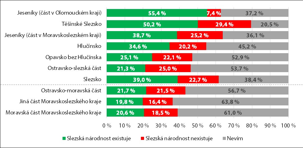
Several maps were selected from the overall sociological survey to show how respondents in the sub-regions of the survey are distributed in their responses to various questions about their lives in the region. The responses showed that 75 % or more of the population is satisfied with the overall quality of life in the Opava and Jeseník regions (part of the MSK), and the least in the Ostrava region (Moravian part) (Map 1). Satisfaction with housing is also more than 73 % in the Jeseník (part of MSK) and Opava regions (Map 2). The highest satisfaction with quality relationships with children is in Jesenik (part of MSK) (Map 3). Citizens do not want to stay permanently in a village or town, especially in the Těšín and Ostrava regions (Map 4). The most important reason for leaving the place of residence was the prospect of a better job, especially for young people, with 66.1 % of 18-34 year old’s in Silesia giving this reason. Silesian residents aged 35-64 also gave the most frequent reason for leaving for a better job, and compared to the younger generation, they gave much more emphasis on the quality of the environment. The quality of the environment was completely predominant among the population aged 65 and over. Pride in being a citizen of the Czech Republic is felt by more than 90% of people in the Jeseník region (part of OLK) (Map 5). The difference of Silesia's inhabitants from other inhabitants of the Czech Republic is perceived mainly by the inhabitants (more than 80 %) in the part of MSK not belonging to Silesia and also by the inhabitants of Těšín region (map 6).
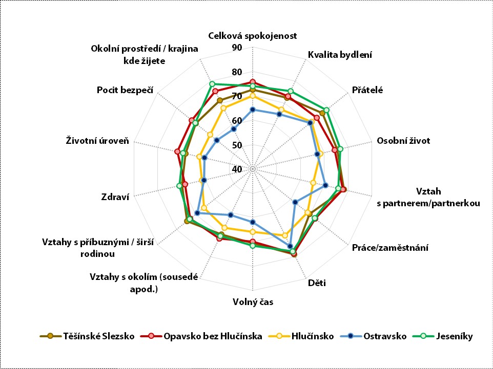
7.3 Jeseník Region
The Jeseník Region, situated in the territory of Czech Silesia, forms part of the former Sudetenland. Before World War II, the area was dominated by a German population, which arrived in the 13th to 14th centuries during the targeted "Great Eastern Colonization" at the invitation of Přemysl Otakar II. After their expulsion in 1945, the area was repopulated by Czech, Moravian and Slovak populations, as well as by Romanians, Greeks, and Volhynian Bohemians and other groups. Since 2000, the Jeseník R has been administratively divided into two parts, one belonging to the Olomouc Region and the other to the Moravian-Silesian Region.
In the group discussions that took place in Vrbno pod Pradědem and Krnov, the respondents perceived the strongest territorial identity to the town where they live (e.g. Vrbno, Bruntál, Krnovu). Local natives further identified with belonging to smaller territorial units (e.g. Železná, Mnichov, former settlements located in the territory of Vrbno). Furthermore, according to their perception, they also belonged to larger territorial units, see the opinions below:
"I will express two feelings, because I am a patriot, of course, because I was born here, but I would say I have a good feeling about the Jesenik region, Moravian-Silesian region."
"Today I am more at home in Jeseník. I mean in general, I don't mean just Vrbno or Jeseník, but from the Zlaté hory Mountains through Jeseník to Vrbno."
Respondents could not define the territory of Silesia. The majority perceived Silesia as a historical concept that does not exist today. Some no longer knew that they were in Silesia, they thought that it no longer existed territorially. No one here had a specific relationship to Silesia. They felt their nationality was Czech or Moravian. The concept of Silesia disappeared with the German inhabitants after they left in 1945. The new immigrants did not form a relationship with Silesia; their perception focused on the region of Jeseník and the Moravian-Silesian or Olomouc Region, i.e. the area where they live or is closest to them. The history of Silesia has been interrupted here, and the current inhabitants have no need to acquire or refine their knowledge of the Silesian history of this area.
"I think most of us will remember that Vrbno was called Vrbno ve Slezsku until 1961, so people were a bit more familiar with the relationship to Silesia then, but today we are probably returning to it. After the change to Vrbno pod Pradědem, I would say that Silesia has fallen a little bit. But we know from history that we simply belong to Silesia."
"For the younger generation, I currently perceive Silesia only as a historical concept and today it does not exist as Silesia in my opinion. Historically, of course, it does, but I don't feel anything for Silesia."
Respondents said that people in Jeseník are very independent and more resilient than in other regions. Either people don't perceive the differences, or they observe differences in culture, in gastronomy, in dialect. They have a strong attachment to the environment, strong neighborly relations based on friendship.
In terms of quality of life, Jeseník has a higher level of peace of mind (see the graph below). The inhabitants are satisfied with the individual measured aspects of the quality of life especially in the territory of Jeseník located in the Moravian-Silesian Region. From a sociological perspective, it can be stated that people who were not satisfied in the territory left, and those who stayed declared higher satisfaction with life in the survey. Similar conclusions were also found in the national survey conducted in 2006 within the framework of the project Changes on the Labor Market and Perspectives of Education, where higher satisfaction was identified among the inhabitants of Vysočina than among the inhabitants of Prague. In the Jeseník Region, satisfaction with the surrounding environment, the landscape where people live, satisfaction with relationships with friends and with their children is highest. The area of Jeseník, located in the Olomouc Region, has significantly lower values, and satisfaction with the feeling of security is extremely low.
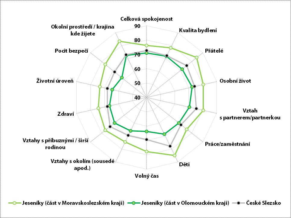
Respondents agreed that the most beautiful thing in this area is the vast forests. The dominant feature of the landscape is the Praděd Mountain, which can be seen from almost everywhere. According to current and past information available to respondents from the media, the air in Vrbno pod Pradědem and Karlova Studánka is the cleanest in Central Europe. Vrbno is situated in the nicest valley in the Jeseníky Mountains. Wherever you climb, you will reach beautiful panoramic views of the ridges of the Jeseníky Mountains or beautiful long valleys. In the forests, there are beautiful rock walls in an interesting, natural way, which can surprise newcomers with their structure and vastness and always delight the hearts of native and old inhabitants. Respondents said that they are comfortable with the less development of tourism in the Jeseníky Mountains because people do not come to destroy them. According to the perception of the respondents, there is also a difference in settlement between Beskydy and Jeseník. In the Jeseníky Mountains, people live in valleys and there are only huts in the secluded areas, whereas in the Beskydy Mountains people also live in the highest places in the secluded areas, where they graze their herds, for example. Respondents also stated that the beginning of mining activities burned the original beech forests, created pastures where cattle were raised, and subsequently spruce trees were planted for the need of fast-growing timber.
Respondents agreed that the construction of a new dam in Heřmínovy is necessary, as the area is threatened by water shortages or, on the contrary, very dangerous floods. All water management works that should be used to hold back floods are a good thing and should be maintained afterwards. Vrbno and the surrounding area has experienced devastating floods many times in its history. All respondents have their own experiences and legitimate concerns about a repeat of natural disasters.
7.4 Opava Region
The Opava Region is formed by the administrative district of the municipality with extended competence Opava without the part of the territory that falls within the Hlučín Region, the so-called Prajzská territory. Furthermore, the area includes the territory of the Vítkovsko, Bílovecka and Oderska Regions located in the territory of Czech Silesia. The Statutory City of Opava was the historical and administrative center of Austrian Silesia, which until today forms a natural micro-region with a catchment area that partly extends into the Kravařsko Region (i.e. part of the Hlučín Region).
"I'm very interested in history and everything related to Silesia, because it wasn't talked about much back home. I take it as a bad thing, so I would like my descendants to know where we come from and so on. So I'm actively interested in history. So that they know that North Moravia is not Silesia."
The history of Silesia, which forms the territorial identity of its inhabitants, is an interesting topic, all attracted by a kind of the mystery that remained after the departure of the German inhabitants. What remains are memories, architectural monuments, the activities of former associations, family ties, and the names of personalities who, although not completely forgotten, are no longer generally known. There are people here interested in reviving the memories and building on the ancient, rich and glorious history of Opava Silesia. For Silesians, Opava is the historical capital of Czech Silesia.
"I completely agree, I see Silesia as a land. A country like Wales, Bavaria. And I see Silesia as twofold. The whole of Silesia, that is, including most of the territory that is in Poland, and then a sort of special category of Czech Silesia or Austrian Silesia."
"Everybody knows the song: 'If Moravia were like Silesia,' so it is evident here that Silesia is bigger. It should be the Silesian-Moravian region according to the size of its territory. There is only a little bit of Moravia in our region."
All respondents have a very positive attitude towards Opava, which they consider to be a beautiful town with a rich history, culture and traditions. Some of the inhabitants still have German citizenship and are proud of it. They all feel themselves as Silesians, Opavans, Czechs. Some respondents with family roots in European countries mention European belonging and multicultural perception of the world. Respondents agreed that the nature of Silesians is expressed by a different mentality, dialect, short speech, traditions. In the hearts of Silesians there is both sadness from the hard way of life, but also love for their home. The mentality of the region is not always the same, there is no rule. Respondents said that the historical sorting: the Imperial territory vs. Prajzská territory, still works in people's minds.
"According to my conversation with Master Skácel (he was from Hlučín): there is a big difference when he goes to Opava and lectures there than in Hlučín, it is a major crossing over, enormous, mentally and spiritually."
According to the respondents, Silesians lack natural pride, as many citizens do not know where Silesia is within the Czech Republic. The opinion that Silesians feel ignored by Prague is repeated here, which they do not like. Most feel that it was not desirable to talk about Silesia in the Czech Republic, the notion of Silesian nationality having been deliberately suppressed politically in the past. Some people remain ashamed of being from Silesia, related to the displacement of Germans, the changes in nationality in history and the events connected with this situation.
"Such a sadness. First of all, we see it in culture, in literature. The literature of this Silesian region is so different, it lacks that Moravian cheerfulness, and the same in music, we see it even better because we are preparing the 'Hlučín songbook,’’ and it's interesting that I don't see a single song in a cheerful vein like in South Moravia, all elegiac, minor keys. And one more interesting thing, it's partly like the music is of our origin but it's also partly oriented towards Austrian music, that's interesting."
"The majority of greater Czech Silesia, as the largest language group, was German, which is no longer here after 1945, and in second place were the Poles, or in quotation marks the Vasr-Poles, the Šlonzaks (the Silesians), and then a small group of Moravians, but that is a historical matter and people no longer perceive it that way."
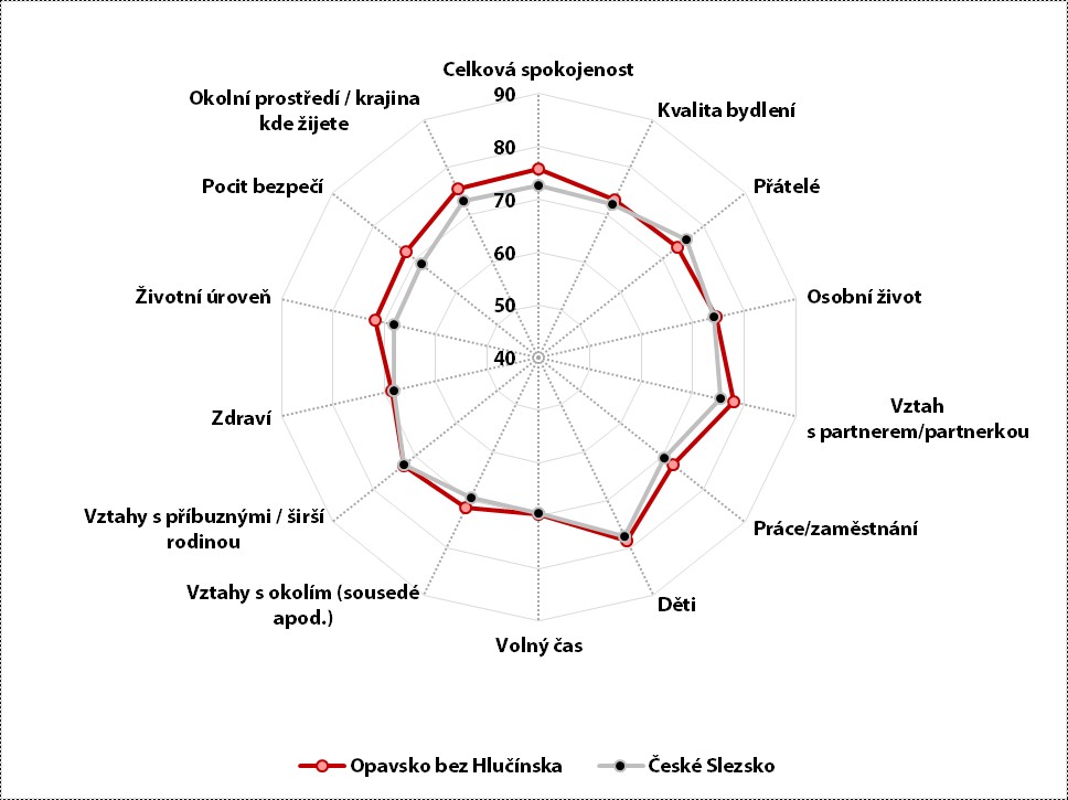
"What I feel here a little bit, but I'm not saying it, is a certain worldliness, a need to express that we have it hard here, but at the same time a great pride in the nice place where I live. The two emotions are intertwined - we have a damn hard life here, but on the other hand it's nice, it's our place. I think you can hear a lot of that emotion in Nohavica´s songs.”
"We don't have that natural pride and natural self-confidence like people from Prague do. That's why, we've heard it here - when I say Silesia, some people in the Czech Republic don't even know where it is. But no Prague resident will say he/she is from Prague, he/she will say he/she is from Strašnice or Žižkov. But we say, they can't really imagine it, so we say we're from Moravia, and everyone can imagine it better. I say I'm from North Moravia."
According to a quantitative survey, the current residents of Opava are satisfied with the perceived quality of life (see chart). Compared to other inhabitants of the Czech Silesia Region, satisfaction with relationships with friends in particular is lower, while satisfaction with health, relationships with parents and children, leisure time and quality of housing is approximately the same.
Respondents said that there are still farmers/farming in Opava Region who farm in a specific way developed before the coup (i.e. large fields with the use of heavy agricultural equipment). Large farming companies predominate here, farming a large number of hectares of land with monocultures, which negatively affects the landscape. The Opava Region is considered an agricultural area. In addition to the above changes caused by uneconomic farming, respondents see the worst change in the bark beetle calamity, which has affected the whole Czech Republic very intensively. Trees and forests are disappearing before everyone's eyes and people are rightly concerned about the consequences of this situation. Another concern is air pollution.
Respondents perceive Silesia as a beautiful region, diverse in many cultural traditions, developed by many local communities. They define themselves in relation to Ostrava; according to the respondents, the people who live here also have a completely different set of values, ideas, traditions.
7.5 Hlučín Region
The area is bounded by the Oder River in the east and the Opava River in the south. At present, most of it lies in the Administrative District of the Municipality with Extended Powers of of Hlučín and of Kravaře, partially peripherally affecting municipalities located in the Administrative District of the Municipality with Extended Powers of Opava and several municipal districts of the statutory town of Ostrava. After the Silesian Wars, this area was part of Prussia from 1742 and in 1920 it was annexed back to Czechoslovakia on the basis of the Versailles Peace Treaty. In 1938-1945 it became part of the German Reich, after 1945 it became part of Czechoslovakia, the displacement of Germans was minimal, about 10% of the population. The almost two-century-long association with Prussia (later Germany) left a deep imprint on the culture, values, way of life and thinking of the local population. The area has the highest proportion of inhabitants adhering to the Roman Catholic Church. The area is inhabited by people who still refer to themselves as “Prajzaks” (from the Prajzská/Prussian territory) and called their neighbors in the former Austrian part “Císaraks” (from the Imperial territory).
"Everybody is looking at Silesia as some kind of third country, the inhabitants somehow neglected and marginalized, and finally people are starting to write about us."
"Little is known about Silesia. It is such an unknown for Moravians and Czechs who like to talk about themselves. Silesia needs to raise its profile. In 2020, it will be 100 years of Prajska. Now we are celebrating 100 years of the Czech Republic, and basically we haven't had anything to celebrate yet, because for example the neighboring village of Pisz joined the Czech Republic only in 1921."
Respondents felt the strongest territorial affiliation to Silesia, specifically to Prajzska. Furthermore, they felt belonging to the territory in which they live: there were Vřesians, from Hati, and Hlučinians. Residents perceived that there was a difference between Prajzsko and Hlucinsko.
"We are like one blood. But every time someone starts talking, we get to know each other. You can spot a traitor anywhere. We're trying to promote it so it doesn't die."
"They are abnormal hardworkers, they get up at four in the morning to work, they come home and construct buildings, they do anything. They all help each other out a lot. Family, neighbors. The family built the house."
There are typical features of Silesia. Whether it is in culture, in expression, in thinking, in steps. The typical language is "our way," but different from the way in Těšín, it is the "Prajzska way." The dialect here varies according to different areas. The respondents see themselves as a very hard-working community of people, built on strong family ties. They see it as a matter of course that everyone helps each other in the family, with neighbors, with friends. As a result of adverse historical events in the region, people here have learned to be cautious and considerate. When anything important happens, they can pull and come together. They are slow to accept newcomers into their midst. If someone starts talking about someone else without them being present, they may always bump into someone from their family, as family ties are very strong in the territory.
"We were forbidden to speak our language in schools. And the Czechs can speak their dialect, they sing and just speak their dialect and nobody forbids them. How so? We couldn't speak the dialect in the schools, they used to reprimand us for it, punish us with bad marks, so that the Prajzská language disappeared. The Czech language, that was a problem for us. Where the children at home couldn't hear Czech properly, well, the Czech language was a problem."
"On the other hand, today it is said that when we come to the Bohemian prat of the Czech Republic we speak in a terribly written way, that we are as if we have been remade. We are overworked, that we speak better in spelling than the Prague people or the South Bohemians, but we just have short beaks. We don't have time. We, once we say a whole sentence, the Prague people only start talking, or thinking."
There is also a view that reveals the self-reflection of the nature of the local inhabitants:
"On the one hand we help each other, but on the other hand we are also a bit envious. If my neighbor has a pool, I must have a pool, too. Exactly, and if he/she has a new car, so we have to buy a new car too. A better, more expensive one. Stranger's misfortune, the purest joy, that's a well-known saying. He/she’ss got such a nice grave, I' have a better one. That's the nature of the people from Prajzská, too. But those who don't wish, they are everywhere, not only in Prajzská.”
The results of the quantitative survey show that current residents of Prajzská are dissatisfied in all aspects of quality of life (see chart). The sociological interpretation of this phenomenon is based on different reasons than in other areas of Czech Silesia. The dissatisfaction is based on the historically long-standing comparison of their standard of living with the situation in Germany, where everything is better for the Prajzaks than in the Czech Republic, and there is a well-known saying to this effect: "Deutschland, Deutschland über alles," still many inhabitants have lively family ties in Germany. In terms of objective factors, this is a richer area in Silesia.
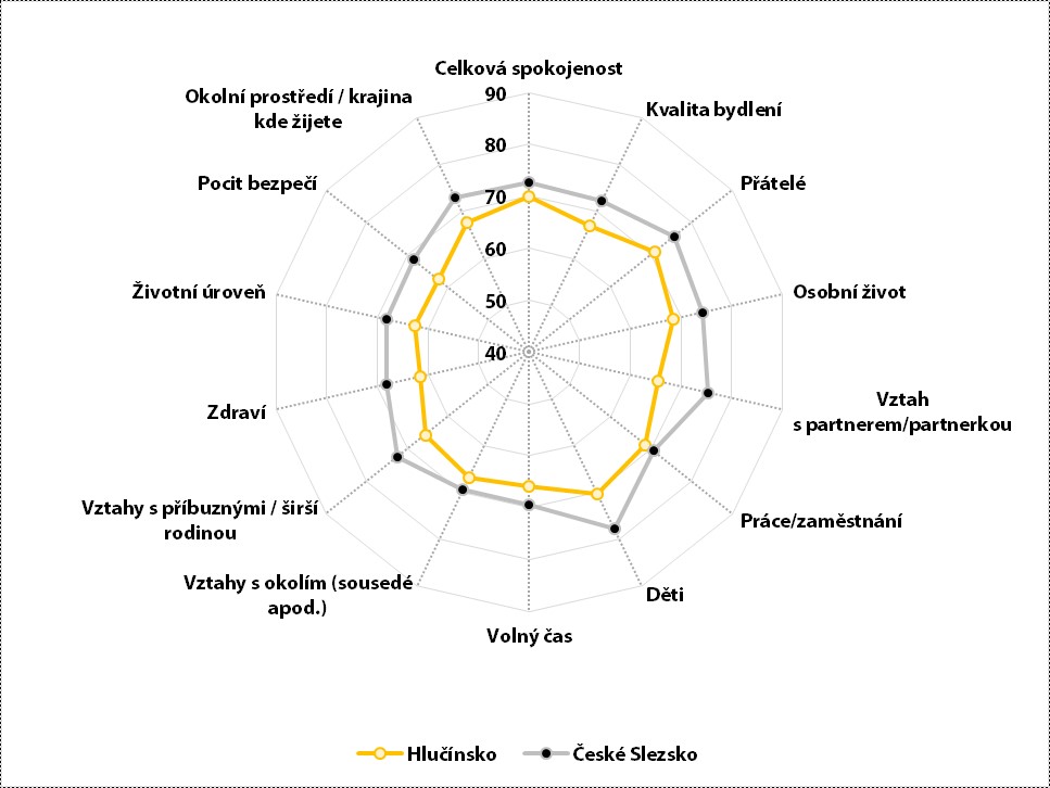
The inhabitants perceive their landscape as a territory that is carefully cleaned and worked by people, and it is a matter of course that they are duly proud of their diligence and care in their work. They are convinced that outside of Prajzská no one in the Czech Republic can match them. Perfect cleaning and nice design also means a grave in the cemetery for families, because they take everything as their own calling card for their work and relationship to everything they own. It is said of the Prajzaks here that their behavior and actions reflect the influence of the German discipline that was omnipresent in the recent past.
The Hlučín Region is an agricultural landscape with fewer forests, and in recent years the landscape has been threatened by drought. The decline of water is also noticeable in wells. There are concerns about the future.
"We take water from our own well, but still, sometimes you can tell that the water drops to such a level that it just doesn't work anymore, indeed."
They described in a funny way the advantages of the Czech Republic, which is not a coastal country.
"We have read the meteorologists' prospective study for the next year that some El Niño will hit us again with huge temperature fluctuations and floods and, on the other hand, big droughts. On the one hand, one regrets that one is not by the sea, that one does not have the resources, the possibility of enjoying the sea; on the other hand, we are glad that we are in the center of Europe, where there is still some kind of relational peace. If they were to be bothered, we are not. There's a saying here that it should rain on my potatoes and my neighbor's hay."
The current manifestation of a strong identity in the area are the activities on social networks and created websites, e.g. "The Prajz Republic – About the Prajzaks and Their Homeland" or Facebook pages focused on the history of the villages (e.g. Petřkovice / Petrzkowitz / Petershofen).
7.6 Těšín Region
The Czech part of Těšín Silesia is the territory of the former Principality of Těšín, which is bounded by the Ostravice and Odra Rivers to the west and the current state border to the east. Approximately 10 % of the population is Polish and some villages are bilingual. The historical center is the town of Český Těšín, which forms a compact town with the Polish town of Cieszyn. Other important towns are Karviná, Havířov, Bohumín, Třinec. The Těšín Region includes part of Ostrava and the Silesian town of Frýdek (without the Moravian town of Místek).
"But the closest I get is when someone tells me it comes from 'tu stela' (here from here) or 'tam stela' (there from there)."
Local patriots consider themselves Šlonzáks (the Silesians, in the local dialect).
"In an international environment (travelling abroad), one tends to identify oneself as Czech or European in relation to Americans, for example. But of course, let's say at the micro or regional level, I feel like a Šlonzák, because after all, I have lived there most of my life."
In terms of nationality, some stated:
"My father instilled in me that we are Silesians, that we are neither Poles like Wolodiovsky nor Czechs like Švejk. We are simply local Silesians; whether we are descendants of some Wallachians in the colonial times, it is hard to say."
There is an interesting view of the relations between Czechs and Poles:
"For me, the border doesn't end at Olše, but goes all the way to Bielsko."
Some respondents are of the opinion that relations between the two nations are historically strained and unbalanced. They fear that the Poles are claiming territory that never belonged to them, and they report that there are Polish interest groups that are creating dangerous national friction. They allege:
"If the Czechs read Polish newspapers, they would not be so calm."
In contrast, other respondents described relations with the Poles as good. However, all of them were happy, as they reported, that the Museum of Těšín was dealing with these relations. There are many historical events and information that should be preserved, not forgotten and passed on to other Czechs. They consider it important to re-promote this region, which they all believe has been deliberately forgotten, as it has so much to offer to all Czechs from many angles.
In the discussion of Silesian identity, the affiliation of the citizens of Těšín to the Evangelical and Catholic Church traditions was mentioned as essential. The relationship of the members of the Evangelical Church to their church at Vyšní brána in Těšín was described as maternal. The matter of the transmission of faith and the relationship to the church is seen here as an essential part of territorial identity.
"My ancestors on my mom's side, so my grandmother was Orthodox Catholic, my dad's side was Orthodox Protestant, and I'm a product of all of that."
Respondents believe that Silesians here are more religiously oriented.
"The ancestors walked from the Wallachians to the Vyšná brána and through the forests, they had churches in the forests and they slept there. But their destination was that Vyšná brána, it was crowds of people."
Těšín Silesia is considered by its inhabitants to be the most industrial region in the Czech Republic, both historically and currently. They liked the statement of a well-known and popular singer:
"Jarek Nohavica said it quite accurately, that it is a distinctive region."
This impression, according to the respondents, is based on the hard work that has always been there. People here had a hard way of making a living, which affected their character, nature, and thinking. Here, in their opinion, people were always tougher than elsewhere in the country.
"Our ancestors used to say that no matter where they met in Germany or anywhere else in Europe, they found that Šlonzok worked harder than others."
They believe that people are still learning to live together here, driven by the multi-ethnic composition of the population, those who are still moving here for work, today as in history.
"Here we are at the crossroads of nationalities. Behind Mosty we have Hungary, Upper Hungary being today's Slovakia, so there is Slovak influence, then we were part of Austrian Silesia with Halych up to Krakow, so Polish influence, and of course Frýdek and down to Moravia and Ostrava, so Czech influence. We have been at the crossroads for centuries, learning to live together and get along, but not always successfully."
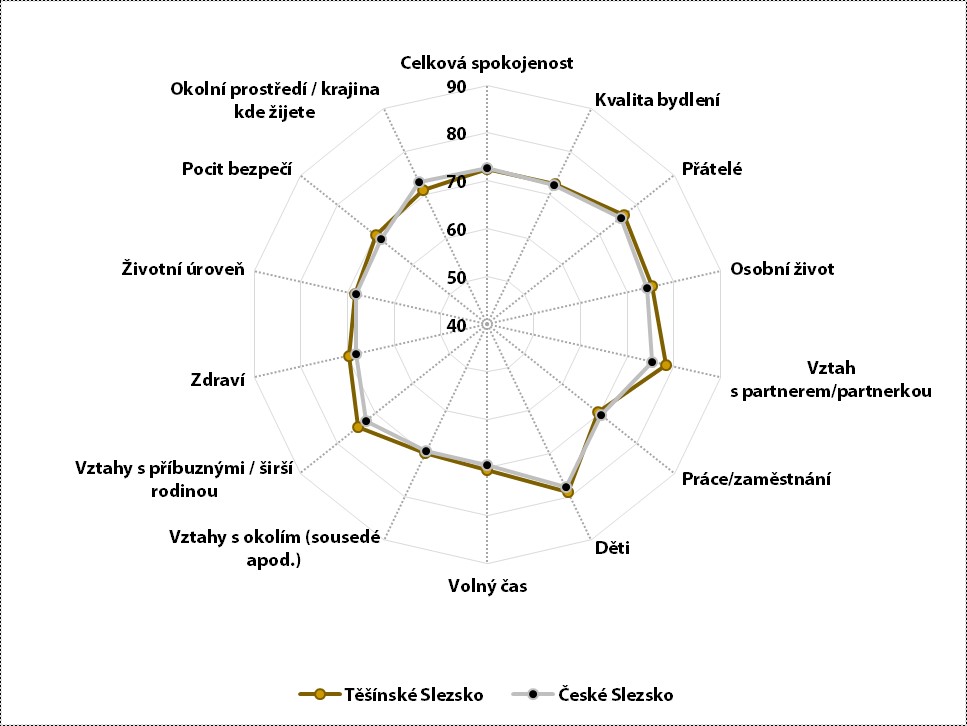
Bohemia and Moravia have historically had fixed and unchanging borders, unlike Silesia. According to the respondents, Bohemia solved its ethnic problems (Czechs versus Germans) perhaps more brutally than Silesia. To this day, without people realizing it, the whole territory of Silesia is on the border of several states. They further stated that it is necessary to constantly fix one's thinking on the fact that a part of the so-called our Silesia is elsewhere (i.e. on the territory of another state), that Silesians feel themselves to be Silesians, even those who speak other languages than Czech, those on the other side of the border, i.e. Poles. Here is a real common identity of several nations, but at the same time it can be quite contradictory in many ways. Today, in a united Europe, borders do not play such a significant role according to the respondents, but identity with the territory does. These historical contexts are in a way still reflected in the thinking and experience of people in this territory, because they did exist, do exist and are still alive in people.
The respondents stated that Silesia is fragmented because, in their opinion, in the past there was unfortunately no strong ruler who could turn Silesia into a country with everything. The territory was politically reshuffled by neighboring states as they pleased. The people living there changed their nationality accordingly. That is why the territory is so fragmented in many ways. Often, the local dialect spoken here is "our way," neither Czech nor Polish nor German. However, even this dialect is not uniform, as Silesia is large. Some areas were purely German, which also influenced the specific dialect in those places, and "in our way" is a different language here again.
The results of the quantitative survey in terms of perceived quality of life show that the current inhabitants of Silesia are most satisfied with their children. Compared to other inhabitants of Czech Silesia, their satisfaction with various aspects of quality of life does not differ from the average (see graph).
The respondent states:
"Silesia is a little laboratory of Europe. If people here learn to live together in that small circle, we can be a model for the whole of Europe, where this coexistence is on a larger scale."
The respondent justified the word "we are learning" because Czech-Polish-Slovak relations are a long-distance race for the local settlers, they consider them unresolved and believe that they will not be resolved. We still have to learn it all over again, the respondents remind us, in every generation.
"People here in the Czech Republic are less critical than the press I read in Polish. We are friends, and I say thank the Lord God for every day that we live with them without much strife. But to get along and agree is another story."
7.7 Ostrava Region
A relatively young area, whose importance grew especially with the development of coal mining in the 19th century, with an economic center consisting mainly of the towns of Moravská Ostrava and Polská Ostrava. The towns historically lay in two countries, Silesia and Moravia. There were tendencies to create a Greater Ostrava even before World War I, but it did not receive a concrete name until after 1918. The public authorities could not agree on the creation of Greater Ostrava, so on 1 January 1924 only 6 municipalities located in Moravia were annexed to Moravian Ostrava. The Greater Ostrava was created only after the German occupation, when in 1941 it was decided by Government Decree No. 236/1941 Coll. to annex Silesian Ostrava and 7 other municipalities from Silesia and 4 municipalities from Moravia to the town of Moravian Ostrava. Nowadays, as a result of migration processes since 1950, the difference between the Moravian and Silesian parts has disappeared, only the differences in the character of the buildings remaining. In the Moravian part of Ostrava there are the large prefabricated Hrabůvka, Dubina and Výškovice housing estates, where a large number of inhabitants are concentrated. In the Silesian part of Ostrava there is the Ostrava-Poruba district, but also the Silesian Ostrava with its dispersed development in family houses and other smaller districts.
Respondents did not feel that they were of Silesian nationality. Most of the adult participants in the group discussion consider themselves to be Ostrava patriots, and they are duly proud of this affiliation. They take their belonging to the Czech nation for granted and no one needed to express it by belonging to Moravia or Silesia, although they have a cordial relationship with the whole territory of the Czech Republic.
"I’m Czech and I am very proud of it. And otherwise I’m an Ostravian. I'm proud of that, too."
"Well, I may surprise you, but I have felt like a Slav all my life. I feel my belonging to Slavic peoples very strongly."
"Of course I love the Czech Republic, I love Moravia and I’m proud of it too. And I love Ostrava too. Very much, so I’m a patriot of Ostrava at the same time. I’m proud of it. I'm proud of everything."
Respondents could not quite pinpoint where Silesia is located. Some thought Silesia was somewhere in the Těšín Region, while others thought it was in the Prajzska Region. They could not distinguish Silesia from Moravia; rather, they were generally familiar with the culture of Moravia and Bohemia and understood the size of these territories well. Some Ostravians, as reported by respondents, do not know that Ostrava is both Silesian and Moravian. Most respondents thought that Silesia is a term that is not used today, they are simply in Moravia now. They did not receive information about Silesia from their parents or at school, but by their own perception of the information flowing around them or by self-study. When talking about the specifics of the region, the respondents agreed on many distinctive characteristics of the people living in Ostrava:
"I definitely think that here in Silesia and Ostrava in particular, people are different than in Bohemia and Moravia and Hana, I would say they are more coarse, they are definitely more direct, they have no problem saying what they think clearly and firmly or getting to the heart of the matter, which is often shocking to people who are from another part of the country."
"My daughter has been living near Prague for about four years now and she says she can't get used to the Czech mentality, she says they always beat around the bush, nobody says anything straight out about what they think and that if she says it, she's considered the weird one. Yeah, she says that's why she's considered rude. And she comes home here and she says she feels right, that everything's back in place."
"I think we talk very quickly, briefly and to the point. When something is really good and you like it, it just has success, and then it's worth it. And the applause. Yeah. So we're like that too, letting it be known what we really think. We're not just gonna clap for nothing. And I like that, I'm comfortable with that."
The specific perception of the inhabitants was also very positive about memories and events connected with childhood under socialism, which were accompanied by society-wide celebrations (e.g. the First May Day celebrations, Spartakiada - mass gym performances, lantern parade):
"I can think of May Day, for example, which was a significant, beautiful event. Jesus, that was beautiful, that was a beautiful event, yes, which I remember in a clearly positive way, despite all the, I would say, normalization processes. For us, it's definitely like a part of our past."
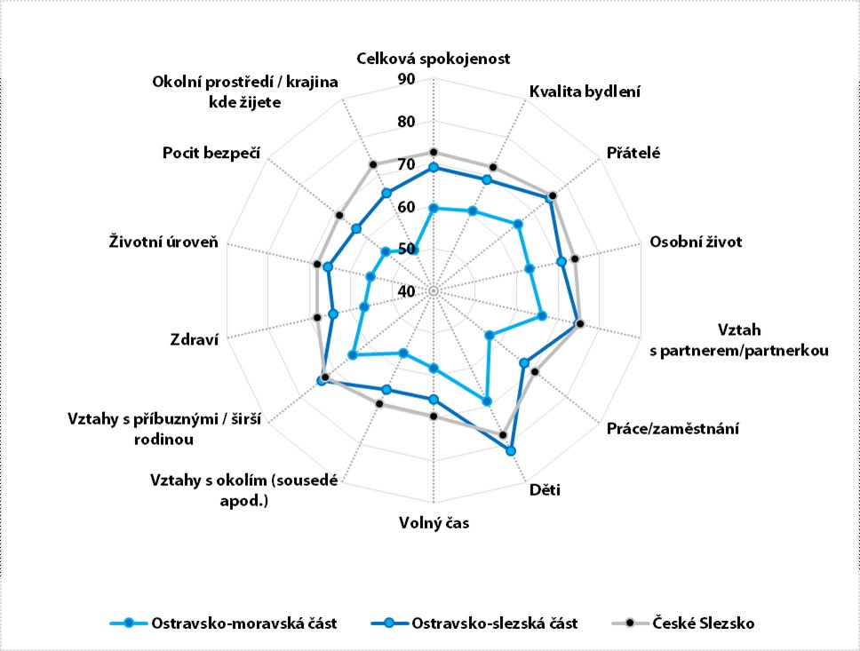
"If you have noticed what the American films, the English films, have brought to us, that actually there are many sports, cultural events in those neighborly relations, customs, which those neighbors hold independently or even nationally, somehow only in our country it was demonized after the revolution. Yeah, which bothers me today, because I see my childhood, and everybody can say what they want, as clearly positive, and also the Spartakiada and the exercises on the playground, where everybody applauded, and then I got sausage and that soda, it was just a great show for me."
The results of the quantitative survey show that the current inhabitants of Ostrava are dissatisfied with the quality of life compared to other inhabitants of Czech Silesia. A large difference was identified between the residents in the Moravian part of Ostrava and those living in the territory of historical Silesia, this is mainly due to the nature of the built-up area (see chart).
The respondents faithfully described their very naturalistic impressions of Ostrava. Ostrava is still struggling with air pollution and environmental damage caused by mining and heavy industry. The surrounding view of the Beskydy Mountains from Ostrava is perceived positively by everyone:
"I think the landscape of Ostrava is nice, but it's a bit noisy, the air is a bit too polluted, from my point of view. Fortunately, I live near a forest, so I don't feel that way. If you take it in a broader sense, I like the landscape even more because you add the mountains and they are absolutely amazing."
The industrial heritage of Ostrava is perceived by some as frightening, morbid, horrific. Others are enthusiastic about the iron constructions on display, which evoke memories of a connection with Ostrava's past. In the Ostrava Region, according to the respondents, there are no-man's-lands, where a densely overgrown "bush" stretches out, a ruined area with vegetation that no one passes and no one knows what is there. There is a difference in the perception of Ostrava by native Ostravians or those who have migrated from other places around Ostrava. Not everybody likes Ostrava, the Ostrava Region, not everybody is enthusiastic about the specific manifestation of Ostrava culture through so-called iron junk.
7.8 Sites of memory
Monuments are a sign of memories, symbols of the past, a consciousness of history recorded in permanent material. They comprise memorials. From their simple iconography, collective memory can be reconstructed as a symbolic identity that served social groups to disclose and document social hierarchy and power.
The map does not include all the monuments installed in the territory of Czech Silesia, because in each village there is a local memorial, which usually commemorates the events of the wartime hardships of World War I or II or local prominent native people or personalities from the world of politics, science and art who lived part of their lives in the given place. Moreover, the removal of the memory of the displaced German population of the region in the post-war years, i.e. the demolition of monuments or the overlay of their original ideological legacy with a new ideology, is a phenomenon for the region. The first wave of the mass removal of monuments to Kaiser Joseph II and representatives of the Habsburg power took place in the years following October 1918. The Protection of the Republic Act of 1923, in Section 26, provided for penalties in the event of the non-removal or establishment of anti-state monuments and memorials to any of the members of the Habsburg-Lorraine and Hohenzollern families in the public space.
The map shows monuments publicly commemorating a historical event or historical personality, which are regional memorials or have cultural and historical value from the point of view of heritage conservation. On the basis of sociological surveys, the sites of Vincenzo Priessnitz (founder of modern hydrotherapy and the Gräfenberg Spa) and the Silesian bard Petr Bezruč are included in the map.
The Tolerance Monument (1931), located on the steep slope of Mount Godula at the site of the secret meetings of Protestants during the period of religious freedom, reminds us of the complex history of multi-faith coexistence in the region. The Memorial to the Resistance of the Silesian People at Ostrá Hůrka commemorates key moments in the history of the Czech movement in Silesia (the internment camps of 12 September 1869, 11 September 1898, 22 September 1918, 1 September 1929,
25. September 1938, 23 September 1945, 21 September 1969 and 19 May 1990) and a similar function in the eastern part of Silesia is fulfilled by the Monument to Liberated Land on the Black Earth in Sedliště.
The suffering of World War I is originally captured by the monument in Bílý Potok from the sculpture workshop of Engelbert Kaps from 1922, which has been intactly preserved in the village's built-up area and was restored in 2018. The Monument to the Fallen of Těšín (Orlová) commemorates the events of the Seven-Day War and is the final resting place of 56 men who fell in the bloody Czech-Polish conflict.
The most numerous in the collection are the sites commemorating the events associated with World War II: the area of the Czechoslovakia. Fortifications (Darkovičky), internment camps, memorials to the victims of the Death March, memorials and objects of the partisan movement in the Beskydy Mountains, memorials to Nazi repression in Lískovec u Frýdku, Životice and Ivančeně, cemeteries of fallen soldiers (Hlučín) and the National World War II Memorial in Hrabyně. The cemetery of the nuns in Bílá Voda commemorates the period of communist suppression.
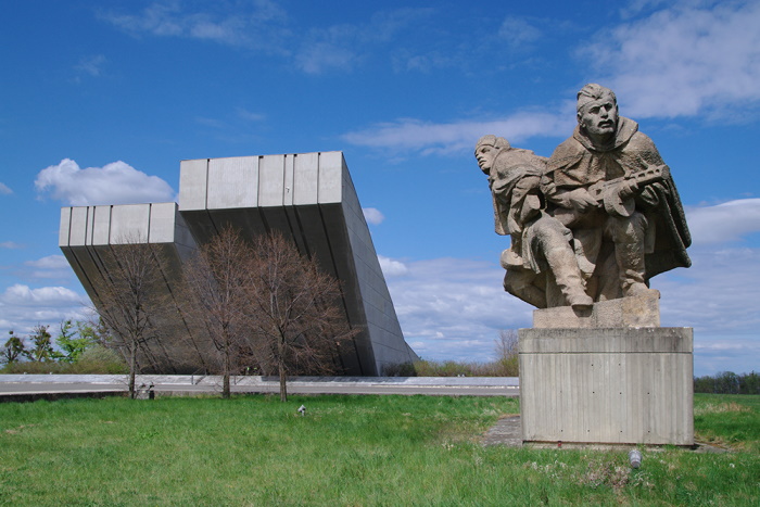
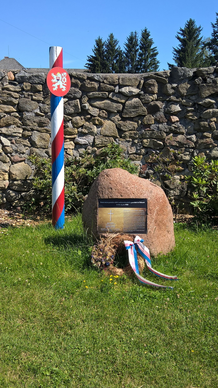
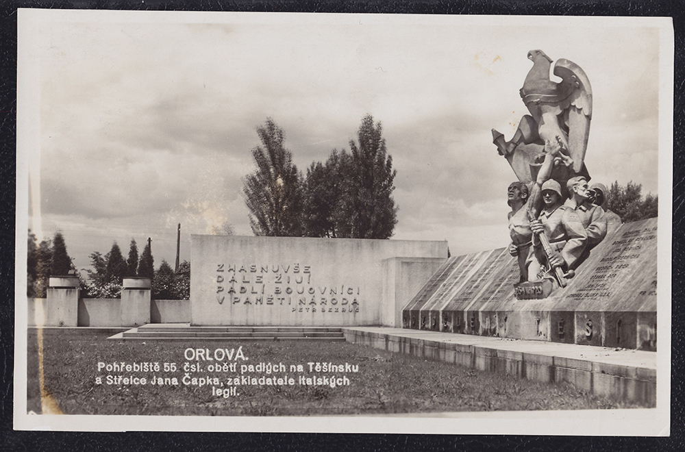
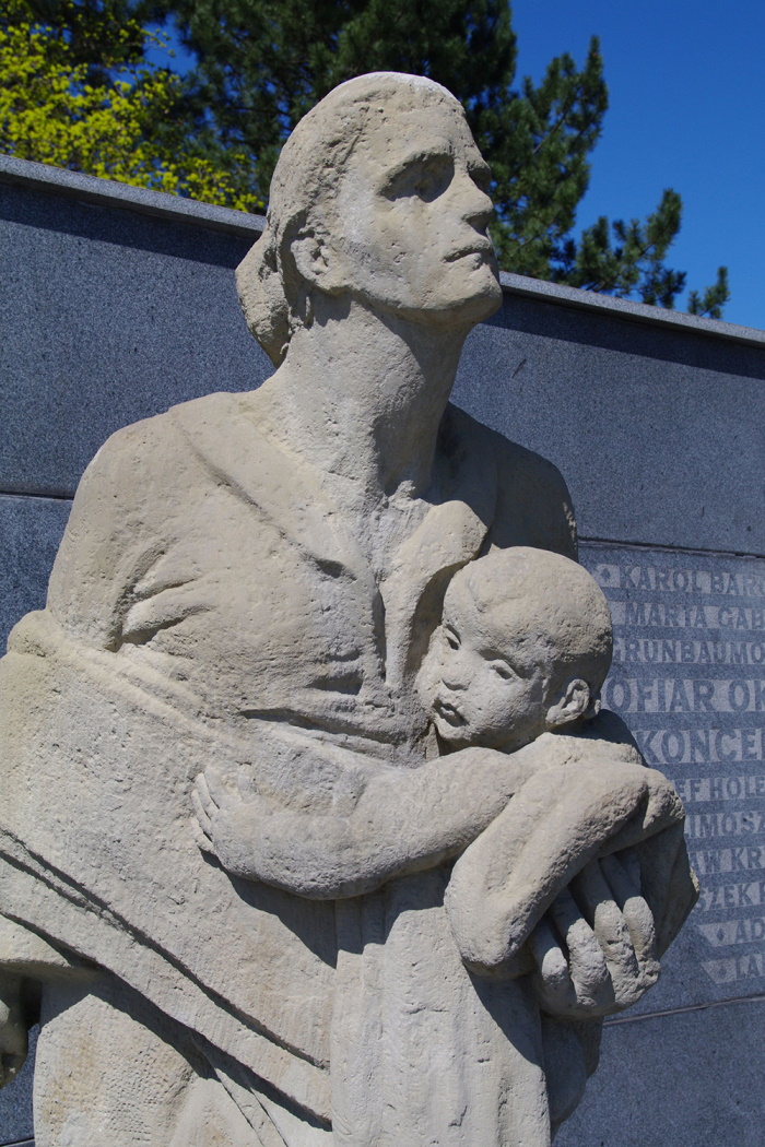
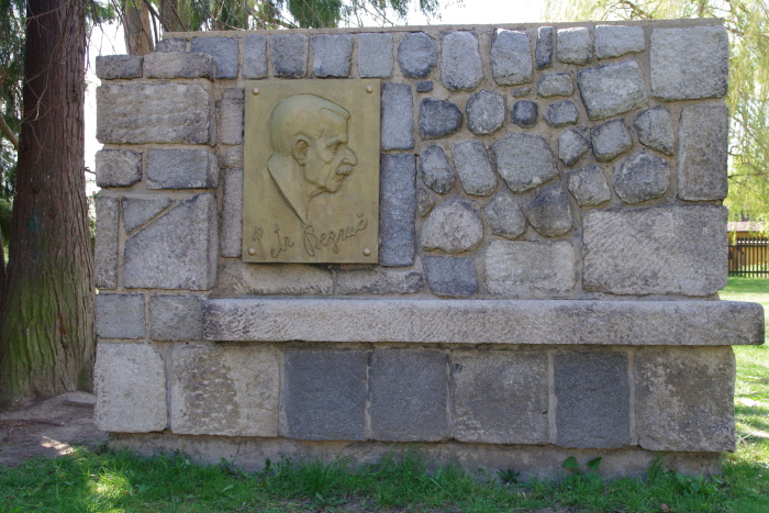
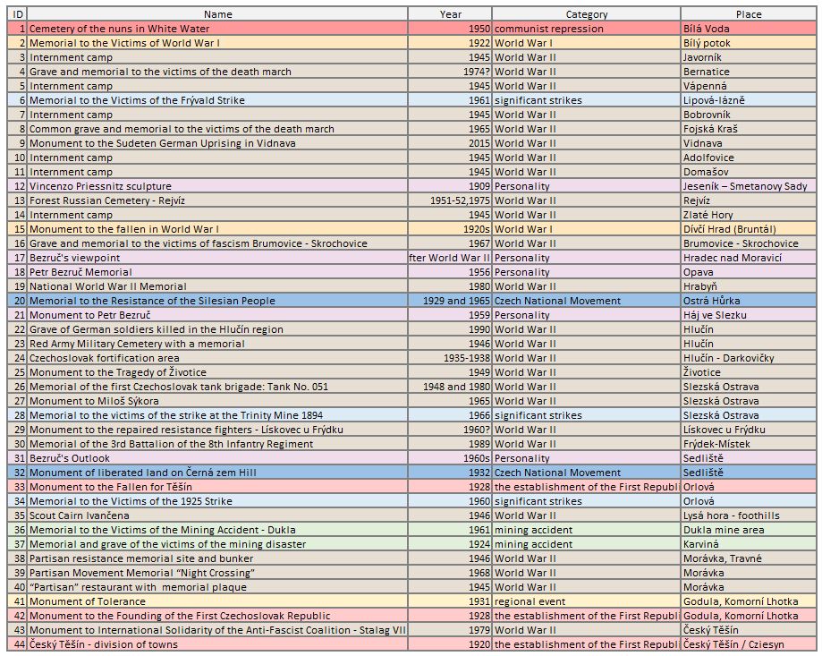
7.9 Vanished German Memory - Hans Kudlich (*1823 - †1917)
During his long life he made his mark on the collective memory of the German-speaking population of the Sudetenland. Kudlich's life and legacy aptly symbolize the complex situation in Silesia at a time of escalating nationalism and the difficult (if not impossible) search for harmony between civic and national principles.
As he was involved in the third Viennese revolution of that year in October 1848, he had to leave the country quickly after the dissolution of parliament by the emperor on 6 March 1849 (until then he was protected by parliamentary immunity). He settled in Switzerland, where he studied ophthalmology. However, diplomatic pressure from the Austrian government caused him to be expelled from Switzerland and he subsequently spent most of his long life as a physician in the USA. A year after his departure for America, he was sentenced to death in Austria in the spring of 1854 for alleged treason. In 1867, however, he was amnestied, and from 1872 he visited the old homeland.
His longest stay consisting of eleven months took place from the spring of 1872 to the end of the winter of 1873, most of it spent in his native region. Even after his return to the USA, Hans Kudlich was present in the public sphere of Austria, as he commented on political events in the monarchy in his newspaper articles and letters printed in German periodicals in the Czech and Austrian lands. Like the Viennese student, the mature and later old Kudlich expressed in his views a wonderful mix of democracy, anti-clericalism, philosemitism and German chauvinism directed very sharply against the Slavs, especially against the Czechs. He identified Germanness with progress, Slavism and Czechism with reactionary backwardness. He "hardened" his views even more during his second visit to the old country in 1888. It was the 40th anniversary of the 1848 revolution and the abolition of serfdom. In that year the first Kudlich monuments were unveiled, exclusively in German-speaking areas, and Kudlich was hailed as the liberator of the peasants by the Germans in the Czech lands during festivities. In this context, however, it is an irony of history that Kudlich no longer cared at all about the social and economic problems of the countryside. His public speeches and articles at the time show that he was already primarily a German nationalist instigator, supporting the centralist model of government in Pre-Lithuania and condemning any Czech emancipation demands. He could hardly gain sympathy in the Czech public sphere.
Kudlich maintained these resolute positions until his death in 1917. At least 55 Kudlich monuments were erected in the Czech lands between 1888 and 1938, almost half of them created during the First Republic from the original monuments of Joseph II or Franz Joseph I (the commemoration of members of the Habsburg dynasty in public space was forbidden by a 1923 law). At the time of their ceremonial unveiling, i.e. at a time of escalating nationalism, these monuments were meant to manifest (and actually shape) the identity of the German population of the Czech lands. After World War II, the era of their systematic removal began, as they commemorated the expelled German population. Today, the monuments restored after 1990 form bridges to the renewed multiethnic memory of the local environment and are a true symbol of reconciliation with a complicated past.
– In 1908, a memorial oak tree was planted in Čaková in memory of Hans Kudlich. A memorial plaque with the text "Hans Kudlich Eiche - Deutsche haltet den Nacken steif! - 1848-1908" was placed under the tree. Germans, don't bend your neck!). The monument has been preserved to this day and was renovated in 2005 with the consent of the municipal authority. The middle part of the original inscription containing Kudlich's life creed was not restored.
– In 1908 a memorial oak tree was planted in Čaková. The monument unveiled in 1928 has survived to the present day. The dominant feature of the monument is a stone relief of Hans Kudlich and a memorial plaque with the inscription "Zum steten Andenken an den Bauernbefreier Hans Kudlich" (To the everlasting memory of Hans Kudlich, the liberator of the peasants). The original plaque also contained Kudlich's credo "Deutsche haltet den Nacken steif!" (Germans, don't bend your necks!). This part of the original inscription, due to its controversial nature, is not included on the new memorial plaque after the reconstruction of the monument in 2005.
– The Kudlich monument in Jistebník was unveiled on 17 July 1910. A stray boulder dug in the village served as its foundation. Two copper plaques were attached to it - one with Kudlich's relief and the other with the dedication "Gewidmet Hans Kudlich - dem deutschen Volksmanne, Robotbefreier 1848" (Dedication to H. K. - the man of the German people, liberator of peasants). The monument still stands in its place today, but no one knows what its original purpose was. After World War II, it was "rededicated" as a monument to the fallen Red Army soldiers. The two original copper plaques were removed and two new memorial plaques with the inscriptions "Honor and glory to the 16 fallen heroes" were installed. They died for our freedom" and "Czechoslovakia - USSR - Loyalty for Loyalty - 1 and 2 May 1945".
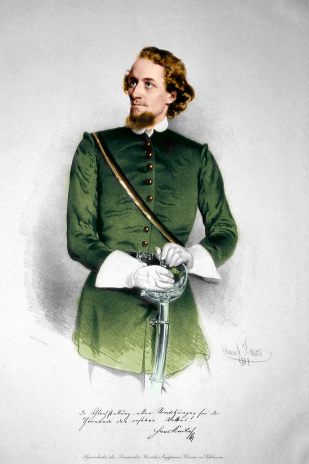
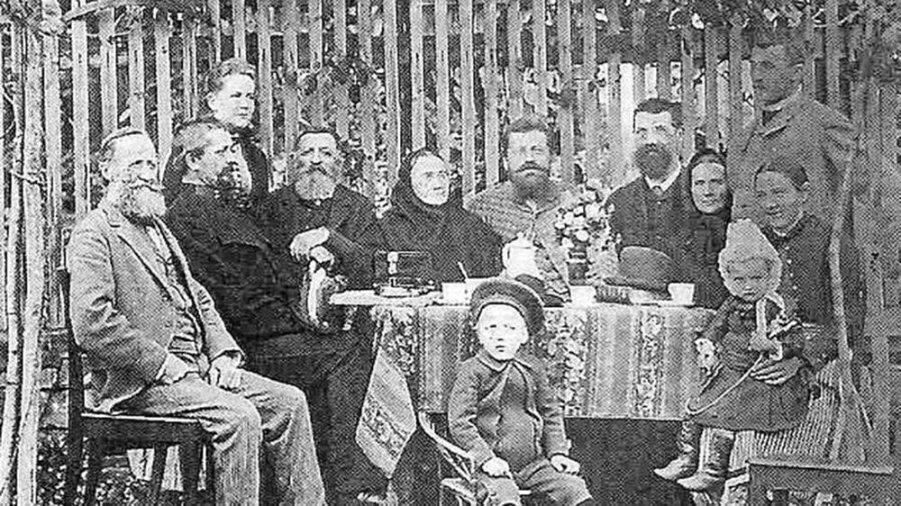
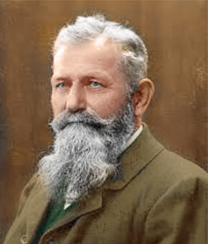
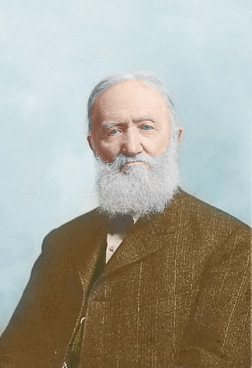
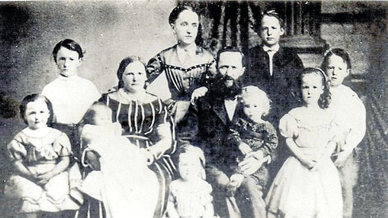
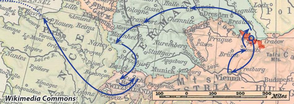
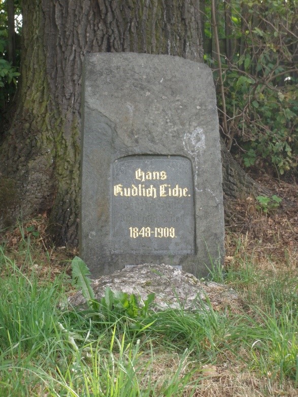
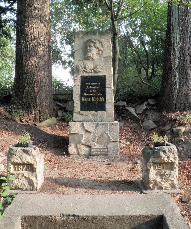
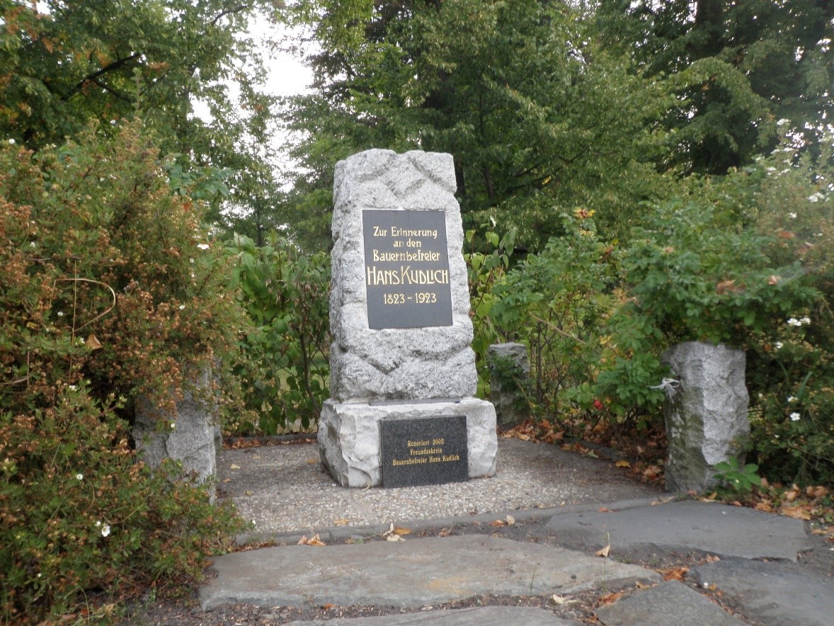
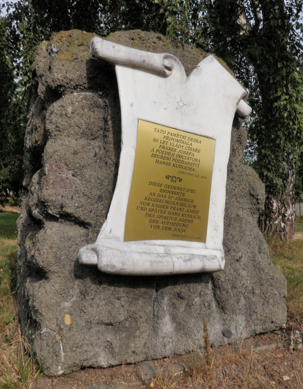
– In September 1888, the German political representation of Krnov organized the unveiling of a monument to Emperor Joseph II in the park and a memorial plaque to Hans Kudlich in the adjacent grotto on the occasion of the 40th anniversary of the abolition of slavery and serfdom. The monument and plaque were unveiled in the presence of Hans Kudlich. The memorial plaque reads: "Dem Bauernbefreier Hans Kudlich errichtet am 23. September 1888" (To the liberator of the peasants established on 23 September 1888). The grotto was removed after World War II.
– In Loučky (today a local part of Zátor) a monument was unveiled on the occasion of the centenary of Kudlich's birth, i.e. in 1923, in the lower part of the village next to the road from Krnov to Bruntál. In 2004, the remains of the monument were discovered, which was subsequently renovated and unveiled in 2006 in a new location in the municipal park.
– In Stará Rudná, which is now part of the municipality of Rudná pod Pradědem, a memorial stone commemorating the 50th anniversary of the reign of Emperor Franz Joseph I was unveiled in 1898 near the church on the road from Mala Morávka to Světlá Hora. The stone survived the post-war events and in 2005 a new memorial plaque was placed on it on the initiative of the local municipal authority. It is bilingual and simultaneously recalls the former dedication to the Kaiser and later to Hans Kudlich.
– This monument has probably the most varied fate of all the Silesian monuments to Hans Kudlich. It was created in 1894 as a monument to Joseph II. Due to the changed political conditions, it had to be removed in 1923 and the empty plinth was replaced in 1926 by a bust of Hans Kudlich created by the then well-known regional sculptor Josef Obeth. After World War II, the Kudlich monument was also removed and replaced by an obelisk celebrating the Red Army. It still has this form today.
– The most monumental reminder of Hans Kudlich still stands on the upper edge of his native village. It takes the form of an observation tower. The foundation stone of the tower was laid in September 1908. Five years passed between the tapping of the foundation stone and the completion of the building due to the slow collection of the necessary funds. Eleven years later, in 1924, it was decided to build a mausoleum at the base of the tower. In 1925, the urns of Hans Kudlich and his wife were placed in the completed mausoleum. After World War II, the lookout fell into disrepair, and in the early 1990s it was threatened with demolition due to its damaged structure. In 2000, mainly thanks to the initiative of Kudlich's relative Walther Kudlich, the tower was reconstructed.
Conclusion
Currently, the territory of Czech Silesia is affected by the processes of societal transformation caused by the transition from an industrial to a post-industrial society, in which the main development segment is the service sector (e.g. banking, information and communication technologies). Some processes are rooted in history, others are a manifestation of the current pan-European globalization effects with impact on localities. Among the major socio-economic processes affecting the current and future development of the territory of Czech Silesia is the population instability of the territory, caused by the declining birth rate and the emigration of the population in search of work. Population aging and natural population loss are among the demographic problems facing the territory of Czech Silesia and a number of European countries, such as Bavaria. The problem of population ageing, which is characterized by increasing life expectancy and an increase in the proportion of elderly people in the population, appears to be very serious. This results in an increasing proportion of economically dependent people with higher demands on the pension system, health and social care and housing. On the other hand, with the economic development of the territory, we can see an increasing number of foreigners in the territory, who are concentrated in large cities and in areas where foreign companies operate. These processes are concentrated in the areas of Jeseník, Ostrava and Karviná, where there is a clear influence of the resettlement of the territory after World War II and the arrival of residents to work in industry.
The current processes of transformation of the post-industrial society also affect the settlement structure of the territory of Czech Silesia in the following way: the basic republican development axis runs in the northeastern direction from Brno to Katowice. The construction of the D1 motorway is also reflected in increased economic attractiveness in the vicinity of its exits and adjacent towns. In terms of long-term development, it can be assumed that this area will also become denser. The second regional development axis running from Třinec through Český Těšín, Ostrava, Opava with a closer connection to Krnov is influenced by the long-term development of the settlement structure and it can be assumed that its importance will remain crucial for the Moravian-Silesian Region. This link between Ostrava and Opava is strengthened after the modernization and extension of the I/11 road, including the completion of the northern bypass of Opava. After the modernization of I/11, the eastern part from Třinec to Jablunkov with a connection to the capacity road network to Žilina, the development of settlements within the development axis of Ostrava - Třinec - Czech/Slovak border can be expected. The importance of the local development axis of Ostrava - Karviná is decreasing due to the decrease in jobs and the number of people in Karviná. If the connection of Karviná to Bielsko-Biała is not completed, this axis will become weaker. In contrast, the Ostrava - Český Těšín - Bielsko-Biała axis will develop. The role of strong cities and their cooperation is crucial for the further development of the territory.
The process of suburbanization in the territory of Czech Silesia is understood as a transfer (relocation) of urban functions (i.e. industry, services, housing, etc.) and population from the core parts of settlements to the adjacent peripheral areas. It is a process of expansion of the built-up area of the city, which can be observed both in most cities of developed countries and in the historical development of our cities. Suburbanization, together with urbanization and reurbanization, form a trio of dynamic processes by which the power system responds to the needs of society and their changes. We can speak of suburbanization at least since the 18th century, when industrialization worsened the living conditions in the cores of settlements on the one hand, and on the other hand, rail transport and later the automobile improved the mobility of their inhabitants - the result was a migration of those who could afford it to rural areas adjacent to the outskirts of the cities, where they were offered better living conditions and from where they could at the same time not to lose touch with the employment and social opportunities associated with living in the core area of the town. At present, all three of the dynamic processes mentioned earlier are acting together in the settlement, only the intensity of each of them changes over time and thus, in sum, the resulting direction of their impact on the settlement. Residential suburbanization is manifested primarily by the construction of new housing in the hinterland of the city and the gradual outflow of people from the core parts of larger cities to new family houses (and more recently also apartment buildings) in their outskirts or in neighboring villages.
The biggest influence on the current landscape, as identified during the ATLAS work, is the bark beetle calamity, the causes of which can be traced back to the establishment of spruce forests before 1938, as well as the current fragmented ownership structure and climate change. Another negative phenomenon is flash floods and landslides (especially in the Beskydy Region). From traditional agriculture through collectivization to today's economization (e.g. cultivation of maize and rape only). Another consequence of economization is that it is more important for farmers to fill a biogas plant with bio-matter than to use it as cattle feed, resulting in the negative impact on biodiversity of growing one-sided vegetation. Another major issue is drought in the landscape and its impact. The current climate corresponds to the end of the interglacial: two seasons are alternating, with extreme weather fluctuations. Among the selected natural extremes and their impact on the landscape, floods, droughts, strong winds (tornado in Krnov), hailstorms, geomorphological extremes (see landslides, rockfall) were mentioned. A persistent theme, especially in the Ostrava Region, is air pollution coming mainly from the CR-PL basin (local heating plants are being addressed). Invasive species of plants and animals are also present here. Models and predictions on the example of selected invasive plants also form specialized maps.
Among the globalization megatrends affecting the future of the territory of Czech Silesia are also civilization diseases, where previously unknown diseases caused by various factors of modern civilization are on the rise. Their increase is due to changes in lifestyle, changes in dietary habits, the population being exposed to new chemical substances and, in general, an increase in life expectancy and the average age of the population. The societal perception of old age, for example, will change. Cities are developing active aging programs, projects to prepare for old age and to change housing. In particular, the consumption of industrially produced calorific foods, the excessive consumption of food, alcohol and cigarettes, excessive and persistent stress and lack of physical exercise are considered to be causes of civilization diseases. Growing individualism and the power of individuals represent a megatrend of the increasing influence of the individual or small groups on societal, economic and political decision-making processes, as well as toward society and economic actors. This trend is reinforced by the increasing education of the population, the pressure for inalienable human rights, the expansion of individual freedoms and new technologies. High mobility enables the global interconnection of consumption and production patterns, new ways of working and social contacts and interactions, and this megatrend also influences the removal of barriers to the movement of people, goods and information. Mobility involves not only the movement of people, materials and goods, but also environmental and social burdens. In spite of the growth of the middle class, income inequalities continue to widen and gender inequalities are still not being eliminated, despite their converging trend. The growing debt and technological gap between the poorest and the richest is also a megatrend.
Among the globalization megatrends affecting the future of the territory of Czech Silesia are also civilization diseases, where previously unknown diseases caused by various factors of modern civilization are on the rise. Their increase is due to changes in lifestyle, changes in dietary habits, the population being exposed to new chemical substances and, in general, an increase in life expectancy and the average age of the population. The societal perception of old age, for example, will change. Cities are developing active aging programs, projects to prepare for old age and to change housing. In particular, the consumption of industrially produced calorific foods, the excessive consumption of food, alcohol and cigarettes, excessive and persistent stress and lack of physical exercise are considered to be causes of civilization diseases. Growing individualism and the power of individuals represent a megatrend of the increasing influence of the individual or small groups on societal, economic and political decision-making processes, as well as toward society and economic actors. This trend is reinforced by the increasing education of the population, the pressure for inalienable human rights, the expansion of individual freedoms and new technologies. High mobility enables the global interconnection of consumption and production patterns, new ways of working and social contacts and interactions, and this megatrend also influences the removal of barriers to the movement of people, goods and information. Mobility involves not only the movement of people, materials and goods, but also environmental and social burdens. In spite of the growth of the middle class, income inequalities continue to widen and gender inequalities are still not being eliminated, despite their converging trend. The growing debt and technological gap between the poorest and the richest is also a megatrend.
Summary
Atlas is focused on exploring the imprint of the historical memory of Silesia, which is still significant, both in the settlement structure, in the landscape and creative human activity, as well as in the minds of people living in this area, their customs, values and culture. Atlas of the Czech Silesia territory was created by the multidisciplinary team of experts in history, demography, sociology, economics, urbanism and natural sciences. The synthesis of expert knowledge, which is interpreted in a user-friendly form in the atlas, enables to create a comprehensive view of the territory development, which was often exposed to major historical changes in Central Europe. All these events had a major impact on the historical memory of the inhabitants who live in this territory, on the perception of their territorial identity and on socio-cultural development. The atlas consists of a set of annotated maps presenting the area of Czech Silesia in seven sections dealing with physical geography, historical geography, demography, socio-cultural development, economic processes, landscape development and the identity of the inhabitants of the area. Besides the historical and geographical information, experts also worked with the sociological concepts of identity and culture. Sociological information about inhabitants in the monitored area was obtained through an extensive quantitative survey of a population sample (3,000 respondents), which was deepened by a qualitative survey in the form of 10 group discussions in five areas of the analyzed area. The obtained information is incorporated in the seventh section of the atlas. The main goal of the atlas is to identify historical processes that affected the population and the landscape from 1848 to the present. In the territory of Czech Silesia and the territorially related "Moravian wedge", mutual interactions between society and the landscape, landscape management (history of forestry, agriculture) and other processes in the territory (effects of mining, historical wars) were described. The causality of the development of territorial, regional, national and cultural identity are analysed and explained, including the development of population satisfaction with the quality of life and their perception of the landscape where they live. The data, which are cartographically displayed in the area, explain the long-term economic and socio-demographic processes, including the development of the settlement structure. Thanks to analysis of the specifics of the cultural landscape development, which has undergone dramatic changes, imprint of events in the landscape are also identified documenting the changes that have taken place in the area. The multidisciplinary approach to the atlas enabled a comprehensive understanding of the landscape, socio-economic activities and also expanded the possibilities of historical museum presentations with views of particular scientific and social science disciplines, which explain the mutual historical and current influences of the population on the landscape and settlements.
References used
ABT, Lukáš, 2007. Atlas jesenických pramenů a jiných drobných památek. Hnutí Brontosaurus Jeseníky. Jeseník. ISBN 978-80-239-8935-9
ADAMUS, Alois, 1935. Dějiny novinářství na Ostravsku v přehledu. Moravská Ostrava.
AL SAHEB, Jan, 2007. Povýšení olomoucké církevní provincie na arcidiecézi roku 1777. Studia Comeniana et historica. 32(77–78), s. 132–145. ISSN 0323-2220.
AL SAHEB, Jan, 2011. K některým aspektům pobělohorské rekatolizace opavského knížectví. In: JIRÁSEK, Zdeněk a kol.: Církevní dějiny Slezska 18. až 20. století. Opava, s. 103–117.
ANDĚRA, Miloš, GAISLER, Jiří, 2012. Savci České republiky. Popis, rozšíření, ekologie, ochra-na. Nakladatelství Academia. Praha. ISBN 9788020029942
ANDĚRA, Miloš, HORÁČEK, Ivan, 2005. Poznáváme naše savce. Nakladatelství Sobotáles. Praha. ISBN 8086817083
ANONYM, 1781. Catalogus Petrino-Sarcandrinus. Deinde vero archi-presbyteratus, decantus, parochias, administraturas, capellanias, & cooperaturas locales in hac alma dioecesi archi-episcopali Olomucena existentes. Olomucii.
ANONYM, 1808. Catalogus venerabilis cleri saecularis et regularis almae dioecesis Wratislaviensis Austriacae ditionis 1807. Teschinii.
ANONYM, 1914. Handbuch des Bistums Breslau und Delegatur-Bezirks für das Jahr 1914. Breslau.
ANONYM, 1924. POPULATION Slezska a Hlučínska v několika důležitějších směrech na základě sčítání lidu ze dne 15. února 1921 se zvláštním ohledem na předešlá sčítání lidu. S dodatkem / Die Bevölkerung Schlesiens und des Hultschiner Gebietes in einigen wichtigeren Beziehungen auf Grund der Volkszählung vom 15. Februar 1921 mit besonderer Berücksichtigung der vorhergegangenen Volkszählungen. Mit einem Anhang. Opava.
ANONYM, 1929. Historisch-statistische Übersicht über die Verwaltungsbehörden, Anstalten und Seelsorgstellen des Bistums. Real-Handbuch des Bistums Breslau. Breslau.
ANONYM, 1968. Apoštolská administratura v Českém Těšíně. Stav k 1. prosinci 1968. Český Těšín.
BAKALA, Jaroslav a kol., 1992. Slezsko. Opava: Matice slezská.
BALATKOVÁ, Jitka, 2003. Organizační vývoj československé církve (husitské) na Moravě a ve Slezsku. In: KORDIOVSKÝ, Emil a JAN, Libor (eds.): Vývoj církevní správy na Moravě. Brno, s. 227–241. XXVII. Mikulovské sympozium.
BAŁATROWICZ, Piotr, 2004. Biskup Franciszek Śniegoń w służbie Kościoła. In: BUDNIAK, Józef a MOZOR, Karol (eds.). Kształtowanie tożsamości religijnej i kulturowej na Śląsku Cieszyńskim w latach działalności Książęco-Biskupiego Wikariatu Generalnego Księstwa Cieszyńskiego (1770–1925). Cieszyn, s. 69–79.
BALCAR, Lubomír a kol. (eds.). 1969. Církev v proměnách času. Sborník k 50. výročí spojení českobratrské církve evangelické. Praha.
BARÁNEK, Daniel, 2015. Židé na Frýdecku a Místecku. Židovské společenství a jeho tvůrci. Praha. Fontes, 15.
BARCUCH, Antonín, 2005. Počátky československé církve (husitské) v Radvanicích. Těšínsko. 48(3), s. 20–23.
BARCUCH, Antonín, ROHLOVÁ, Eva, 2001. Místopis starých Vítkovic. In: Ostrava. Příspěvky k dějinám a současnosti Ostravy a Ostravska 20. Ostrava, s. 270–303. ISBN 80-86101-41-X
BARTOŠ, Josef a kol., 1966. Historický místopis Moravy a Slezska v letech 1848–1960. I. Územně správní vývoj státních a společenských institucí a organizací na Moravě a ve Slezsku v letech 1848–1960. Ostrava.
BARUŠ, Vlastimil a kol., 1989. Červená kniha ohrožených a vzácných druhů rostlin a živočichů ČSSR. Díl 2. Kruhoústí, ryby, obojživelníci, plazi a savci. Státní zemědělské nakladatelství. Praha. ISBN 07-029-89
BEK, Pavel a kol., 2018. Historie státních drah 1918–2018. Praha: České dráhy, a. s. ISBN 978-80-8510-427-1.
BERGER, Józef, 1930. Ewangelicki zbór cieszyński po podziale Śląska w r. 1920. Czeski Cieszyn.
BEZDÍČEK, Josef, 1936. Silniční síť v obvodu technického referátu v Novém Jičíně. In: Technická práce na Ostravsku 1926–1936, s. 533–535.
BIAŁY, Franciszek, Biały, Lucyna (eds.), 2008. Periodyki śląskie od XV wieku do 1945 roku. Wrocław: Wydawnictwo Uniwersytetu Wrocławskiego. ISBN: 978-83-229-3041-0.
BIERMANN, Bogumił, 1859. Historya wiary ewangielickiéj w Ślązku austryackém, z osobliwym względem na dzieje ewangielickiego kościoła z laski danego przed Cieszynem. Pamiętnik ku 150letniemu jubileuszowi ewangielickiego kościoła Jezusowego przed Cieszynem. Cieszyn.
BÍLEK, Jiří, 2011. Kyselá těšínská jablíčka: československo-polské konflikty o Těšínsko 1919, 1938, 1945. Praha: Epocha. ISBN 978-80-7425-097-2.
BÍNA, Jan, DEMEK, Jaromír, 2012. Z nížin do hor. Geomorfologické jednotky České republiky. Academia, Praha. ISBN 978-80-200-2026-0
BLAHUT, Alois, 1977. Z historie letectví na Ostravsku a na památku bratří Žurovcových z Hartů na Novojičínsku, průkopníků letectví. Praha.
BOLTON, Jonathan, 2015. Světy disentu. Charta 77, Plastic People of Universe a česká kultura za komunismu. Praha: Academia. ISBN 978-80-200-2462-6.
BORÁK, Mečislav a kol., 2016. Ivančena: kamenné svědectví hrdinství a odvahy. Český Těšín: Muzeum Těšínska. ISBN 978-80-86696-43-0.
BORÁK, Mečislav, 1984. Zločin v Životicích. Ostrava: Profil.
BORÁK, Mečislav, 1997. Zábor Těšínska v říjnu 1938 a první fáze delimitace hranic mezi Československem a Polskem (výběr dokumentů). Časopis Slezského zemského muzea, série B. 46(3), 206–248. ISSN 0323-0678.
BORÁK, Mečislav, 2000. Druhá fáze delimitace hranic mezi Československem a Polskem na Těšínsku v listopadu 1938 (výběr dokumentů). Časopis Slezského zemského muzea, série B. 49(1), 51–94. ISSN 0323-0678.
BORÁK, Mečislav, 2003. Oskar Schindler ve službách abwehru na Ostravsku. In: Ostrava. Příspěvky k dějinám a současnosti Ostravy a Ostravska, 21. Šenov u Ostravy: Tilia, s. 240–262. ISBN 80-86101-77-0.
BORÁK, Mečislav, ed., 1998. Slezsko v dějinách českého státu. Opava: Slezský ústav SZM. ISBN 80-86101-18-5.
BORÁK, Mečislav, GAWRECKI, Dan (eds.), 1992. Nástin dějin Těšínska. Ostrava – Praha: Advertis.
BORÁK, Mečislav. 1984. Zločin v Životicích. Ostrava.
BRÁZDIL, Rudolf a kol., 2007. Vybrané přírodní extrémy a jejich dopady na Moravě a ve Slez-sku. Brno, Praha, Ostrava: Masarykova universita, Český hydrometeorologický ústav, Ústav geoniky Akademie věd ČR, v.v.i., 2007. 432 s. ISBN 978-80-210-4173-8.
BRŇOVJÁK, Jiří, 2018. Šlechtická společnost rakouského Slezska a poznámky k její sídelní strategii (1740–1918). In: JEŽ, Radim a PINDUR, David (eds.). Dům, palác a zámek v hmotné kultuře Slezska // Dom, pałac i zamek w kulturze materialnej Śląska. Český Těšín: Muzeum Těšínska, s. 57–96. Cieszyńskie studia muzealne 6 // Těšínský muzejní sborník 6. ISBN 978-80-86696-47-8.
BROŽ, Miroslav (ed.), 2002. Církev v proměnách času 1969–1999. Sborník Českobratrské církve evangelické. Praha.
BUBÍK, Pavel a kol., 2010. 100-lecie Związku Stanowczych Chrześcijan / 100. výročí Svazu rozhodných křesťanů. Cieszyn: Wydawnictvo Arka. ISBN 978-83-924755-6-9.
BUHL, Paul, 1973. Troppau von A bis Z. Ein Stadtlexikon. München. ISBN 978-37-61200-93-3
CASTLES, S., MILLER, M. J.: The Age Of Migration–International Population Movements in the Modern World. New York, The Guliford Press 1993.
CEKOTA, Vojtěch, 2008. K založení Ostravsko-opavské diecéze. Vlastivědné listy Slezska a severní Moravy. 34(2), 26–30. ISSN 1213-3140.
CRHOVÁ, Marie, 1995. Židé ve Slezsku. In: Židé a Morava. Sborník z konference konané v říjnu 1994 v Kroměříži. Kroměříž: Muzeum Kroměřížska, s. 43–47. ISBN 80-85945-09-6.
CZUDEK, Tadeáš, 2005. Vývoj reliéfu krajiny České republiky v kvartéru. Moravské zemské muzeum, Brno. ISBN 80-7028-270-3
ČECHÁK, Vladimír, 2004. Vývoj veřejné správy v Československu a České republice (1945–2004). Praha: Vysoká škola finanční a správní. ISBN 80-86754-22-7.
ČERMÁK, Jan, 1971. Zahájení výstavby přehrad v povodí Odry. In: Vodní hospodářství v povodí Odry 1945–1970. Reprezentační sborník. Ostrava, s. 88–96.
ČERMÁK, Jan. Přehrada na Moravici u Kružberka. Ostrava: Povodí Odry, podnik pro provoz a využití vodních toků, 1969. 92 stran.
ČERNÝ, Walter, DRCHAL, Karel, 1997. Ptáci. Aventinum nakladatelství, s.r.o., Praha. ISBN 80-7151-008-4
ČIHAŘ, Jiří, 2003. Naše ryby. Ottovo nakladatelství. Praha. ISBN 80-7181-904-2
ČSÚ (2014) Náboženská víra obyvatel podle výsledků sčítání lidu – 2011. Praha: ČSÚ. Dostupné na https://www.czso.cz/csu/czso/nabozenska-vira-obyvatel-podle-vysledku-scitani-lidu-2011-61wegp46fl
D´ELVERT, Christan, (1893). Zur Geschichte des katholischen Clerus in Mähren und Oesterreichischen-Schlesien. Brünn.
DĚDKOVÁ, Libuše a GRŮZA, Antonín, 2004. Zámek v Linhartovech. Průzkumy památek. 11(1), 153–173. ISSN 1212-1487.
DĚDKOVÁ, Libuše, 2000. Dva náhrobníky od sochaře Amanda Strausse. In: Památkový ústav v Ostravě. Výroční zpráva 1999. Ostrava: Památkový ústav v Ostravě, s. 63–65. ISBN 80-85034-18-2.
DOKOUPIL, Lumír, 1977. Struktury populace ostravské aglomerace před první světovou válkou. In: Sborník prací Pedagogické fakulty v Ostravě 55, řada C-12. Praha: Státní pedagogické nakladatelství, s. 21–54. Studie k vývoji průmyslových oblastí.
DOKOUPIL, Lumír, 1986. Obyvatelstvo ostravské průmyslové oblasti do sčítání 1869. Praha: Státní pedagogické nakladatelství.
DOKOUPIL, Lumír, MYŠKA, Milan, SVOBODA, Jiří a kol., 2005. Kulturněhistorická encyklopedie Slezska a severovýchodní Moravy. Ostrava: Ústav pro regionální studia Ostravské univerzity. ISBN 80-7368-024-6.
DOKOUPIL, Lumír, NESLÁDKOVÁ, Ludmila a LIPOVSKI, Radek, 2014. Populace rakouského Slezska a severovýchodní Moravy v éře modernizace (od 60. let 19. století do první světové války). Ostrava: Ostravská univerzita v Ostravě. ISBN 978-80-7464-729-1.
DOKOUPIL, Lumír, NESLÁDKOVÁ, Ludmila a LIPOVSKI, Radek, 2020. Demografický vývoj v letech 1869–1914. In: ZÁŘICKÝ, Aleš a kol., Rakouské Slezsko v procesu modernizace 1742–1914. II. díl. Ostrava: Ostravská univerzita, s. 869–951. ISBN 978-80-7599-133-1.
DUDA, Josef, KRKAVEC, František, 1959. Zelené klenoty – zámecké parky na Hlučínsku a Opavsku. Ostrava.
DUDA, Josef, KŘÍŽ, Zdeněk, 1962. Dřeviny opavských parků a zahrad 1. Časopis Slezského muzea, série A, 11, s. 15–19.
DUNGEL, Jan, GAISLER, Jiří, 2002. Atlas savců České a Slovenské republiky. Nakladatelství Academia. Praha. ISBN 80-200-1026-2
DUNGEL, Jan, HUDEC, Karel, 2001. Atlas ptáků České a Slovenské republiky. Nakladatelství Academia. Praha. ISBN 80-200-0927-2
DUNGEL, Jan, ŘEHÁK, Zdeněk, 2005. Atlas ryb, obojživelníků a plazů České a Slovenské republiky. Nakladatelství Academia. Praha. ISBN 80-200-1282-6
DUŠEK, Pavel, 2003. Encyklopedie městské dopravy v Čechách, na Moravě a ve Slezsku. Praha: Libri. ISBN 80-7277-159-0.
DVOŘÁK, Jan a kol., 1994. 100 let městské hromadné dopravy v Ostravě. Ostrava: Dopravní podnik města Ostravy.
EICHLER, Karel, 1888. Poutní místa a milostivé obrazy na Moravě a v rak. Slezsku. I/II. Brno.
FAJMAN, Marek, 2008. Architektura tolerančních modliteben církve augsburského vyznání na území Čech, Moravy a rakouského Slezska do roku 1800. In: MACEK, Ondřej (ed.): Po vzoru Berojských. Život i víra českých a moravských evangelíků v předtoleranční a toleranční době. Praha, s. 489–518.
FIALOVÁ, Ludmila a kol., 1996. Dějiny obyvatelstva českých zemí. Praha: Mladá fronta. ISBN 80-204-0283-7.
FIEDOR, Jiří, 2007. Bílé vrány v černém kraji. Chartisté a nezávislé iniciativy na Ostravsku. Dějiny a současnost. 29(2), 40–43. ISSN 0418-5129.
FOLDYNOVÁ, Ivana, HRUŠKOVÁ, Andrea, ŠOTKOVSKÝ, Ivan, KUBÁŇ, David a kol. 2018 Socio-ekonomická studie zájmového území. Ostrava: ACCENDO.
FOLTYSOVÁ, Jana, 2021. Opava zvelebí neatraktivní místa. Hláska. Zpravodaj statutárního města Opavy 26 (2), s. 10–11.
FOLTÝN, Dušan a kol., 2005. Encyklopedie moravských a slezských klášterů. Praha.
FOLWARCZNÁ, Kristýna, 2014. Průmyslová, živnostenská, kulturní a hospodářská výstava Těšínska a Ostravska v Orlové 1926. Ostrava. Diplomová práce. Ostravská univerzita. Filozofická fakulta. Katedra historie.
FROLEC, Václav. Lidová architektura na Moravě a ve Slezsku. Vyd. 1. Brno: Blok, 1974. 399 s.
FUKALA, Radek, 2007. Slezsko neznámá země koruny české. České Budějovice, ISBN 978-80-86829-23-4.
GABRIELOVÁ, Petra, 2009. Historie rozhodných křesťanů letničních v dokumentech Státní bezpečnosti (70. a 80. léta 20. století). Sborník Archivu bezpečnostních složek. 7, s. 113–121.
GAISLER, Jiří, ZIMA, Jan, 2007. Ekologická nika. In: Zoologie obratlovců. Nakladatelství Academia. Praha, s. 154 – 158. ISBN 978-80-200-1484-9
GALOS, Adam, 1992. Kardynał Kopp – postać fascynująca i kontrowesyjna. In: Matwijowski, Krystin (ed.): Ludzie śląskiego Kościoła katolickiego. Wrocław, s. 53–59.
GARBA, Karel, 1974. Úzkorozchodné dráhy na Ostravsku 1902–1973. I. a II. díl. Brno: Technické muzeum v Brně.
GARBA, Karel, 1990. Dopravní spojení Hlučínska s Ostravskem. Ostrava: Dopravní podnik města Ostravy.
GAWRECKÁ, Marie, 2002. Němci ve Slezsku 1918 - 1938. Opava, ISBN 80-86458-10-5.
GAWRECKÁ, Marie, 2004. Československé Slezsko mezi světovými válkami 1918 – 1938. Opava, ISBN 80-7248-233-5.
GAWRECKI, Dan a kol., 2003. Dějiny českého Slezska 1740–2000. Opava: Slezská univerzita v Opavě. ISBN 80-7248-226-2.
GAWRECKI, Dan, 1999. Politické a národnostní poměry v těšínském Slezsku 1918–1938. Český Těšín: Muzeum Těšínska. Studie o Těšínsku, 15. ISBN 80-902355-4-9.
GAWRECKI, Dan, 2000. Der schlesische Landtag. In: WANDRUSZKA, Adam a URBANITSCH, Peter (Hrsg.), Die Habsburgermonarchie 1848–1918. Band 7, Teilband 2. Wien: Verlag der Österreichischen Akademie der Wissenschaften, s. 2105–2130. ISBN 3-7001-2871-1.
GAWRECKI, Dan, 2000. Pokusy o zřízení biskupství v Opavě. In: Opava. Sborník k dějinám města, 2. Kravaře: AVE Centrum Kravaře, s. 45–48. ISBN 80-86268-02-0.
GAWRECKI, Dan, 2002. Slezsko, územní vymezení, pojmy, úvahy. Vlastivědné listy, č. 1, s. 1–5. č. 2, s. 1–4.
GAWRECKI, Dan, 2003b. Slezský zemský sněm a otázka zřízení biskupství v Opavě v letech 1866–1868. In: KORDIOVSKÝ, Emil a JAN, Libor (eds.): Vývoj církevní správy na Moravě. Brno, s. 141–149. XXVII. Mikulovské sympozium.
GEBAUER, Josef, 1992. Hnojník a Beesové. Vlastivědné listy Slezska a severní Moravy. 18(1), 19–21. ISSN 1213-3140.
GOJNICZEK, Wacław a KACZMAREK, Ryszard (eds.), 2017. 500 lat Reformacji na Górnym Śląsku. Katowice.
GOSS, J. D. a LINDQUIST, B.: Conceptualizing International Labor Migration: A Structuration Perspective. International Migration Review, Summer 1995, 29(2), 317–351.
GRIM, Tomáš, 2014. Vývoj státních hranic v Českém Slezsku. In: Opava. Sborník k dějinám města, 8. Opava: Statutární město Opava ve spolupráci s Maticí slezskou, s. 16–22. ISBN 978-80-86887-20-3.
GROBELNÝ, Andělín, 1985. Heinrich Jöckel ve Skrochovicích na Opavsku na podzim 1939. In: Terezínské listy 14. Ústí nad Labem: Severočeské nakladatelství, s. 20–37.
GROF, Leopold, 1994. Kročeje ostravskou železniční historií: v obvodu bývalého provozního oddílu ČSD Ostrava 1847–1990. Ostrava: APEX.
GRÖSCHEL, Bernhard, 1993. Die Presse Oberschlesiens von den Anfängen bis zum Jahre 1945. Dokumentation und Strukturbeschreibung. Berlin: Gebr. Mann. Schriften der Stiftung Haus Oberschlesien, 4. ISBN 978-3786116691.
GRŮZA, Antonín, 2004. Osudy slezskoostravského hradu v 19. století. In: Sborník Národního památkového ústavu v Ostravě. Ostrava: Národní památkový ústav, územní odborné pracoviště v Ostravě, s. 50–65. ISBN 80-85034-30-1.
HALBWACHS, Maurice, 2009. Kolektivní paměť. Praha: Sociologické nakladatelství, ISBN 978-80-7419-016-3.
HAMPL, M. (2005) Geografická organizace společnosti v České republice: transformační procesy a jejich obecný kontext. Praha: Univerzita Karlova v Praze, Přírodovědecká fakulta, Katedra sociální geografie a regionálního rozvoje.
HAMPLOVÁ, D. (2010) Česká religiozita – církevní příslušnost a víra ve světle Sčítání lidu a dat ISSP 2008. NAŠE SPOLEČNOST číslo 1 roč. 2010
HAMZA, Pavel, 2005. 30. duben 1945 u Říšského mostu v centru Ostravy aneb Opravdu Miloš Sýkora? In: Ostrava 22. s. 250–271. ISBN 80-86904-05-9.
HANIČÁK, Ondřej, KOLÁŘ, Ondřej, ed., 2017. 140 let Matice opavské. Vybrané kapitoly z dějin české národnostní emancipace ve Slezsku. Opava, ISBN 978-80-86887-24-1.
HAVLÍČEK, T. – Klingorová, K. – Lysák, J. Atlas náboženství Česka: The atlas of religions in Czechia. Praha: Karolinum, 2017. ISBN 978-80-246-3794-5.
HELLER, Michał, 2000. Zmiany w strukturach organizacyjnych Kościołów katolickiego i ewangelickiego na Śląsku Cieszyńskim (1918–1937). In: Chmiel, Peter a Drabina, Jan (eds.): Die konfessionellen Verhältnisse im Teschener Schlesien von Mittelater bis zur Gegenwart / Stosunki wyznaniowe na Śląsku Cieszyńskim od średniowiecza do współczesności. Ratingen: Stiftung Haus Oberschlesien, s. 203–214. Tagungsreihe der Stiftung Haus Oberschlesien, 9. ISBN 83-908802-3-7.
HERMAN, Gustav a SVOBODA, Josef, 1928. Československé silnice. Jejich zlepšení ze silničního fondu. Praha: Ministerstvo veřejných prací.
HERNOVÁ, Šárka, 1968. Demografická charakteristika Slováků, Poláků a Němců podle výsledků sčítání lidu z let 1950 a 1961. Slezský sborník. 66(3), 289–309. ISSN 0037-6833.
HEŘMANOVÁ, E., CHROMÝ, P. a kol., 2009. Kulturní regiony a geografie kultury. Praha: ASPI, a.s., ISBN 978-80-7357-339-3.
Historie Československé státní automobilové dopravy, n. p. Ostrava, nositele státního vyznamenání „Za zásluhy o výstavbu“, 1949–1980. Ostrava: ČSAD. Interní tisk.
HLAVAČKA, Milan, Marès, Antoin, 2011. Paměť míst, událostí a osobností. Historie jako identita a manipulace. Praha: Historický ústav, ISBN 978-80.7286-186-6.
HOMAN, Aleš, 2003. Moravská Ostrava jako útočiště uprchlíků z německého a polského záboru na podzim roku 1938. In: Příspěvky k dějinám a současnosti Ostravy a Ostravska, 21. Šenov u Ostravy: Tilia, s. 221–239. ISBN 80-86101-77-0.
HOMOLA, Irena, 1968. Tygodnik Cieszyński i Gwiazdka Cieszyńska pod redakcją Pawła Stalmacha 1848–1887. Katowice: Państwowe Wydawn. Naukowe.
HONS, Josef, 1975. Dejiny dopravy na území ČSSR. Bratislava: Alfa. Vydavateľstvo technickej a ekonomickej literatúry.
HORSKÁ, Pavla a kol., 1990. Dětství, rodina a stáří v dějinách Evropy. Praha: Panorama. ISBN 80-7038-011-X.
HRUŠKA Lubor a kol. Socioekonomický atlas Moravskoslezského kraje. (s textovým rozborem) Ostrava: ACCENDO – Centrum pro vědu a výzkum, o.p.s., 2012. ISBN: 978-80-904810-6-0.
HRUŠKA, L.; HRUŠKOVÁ, A.; ŠLACHTOVÁ, H.; BUJOK, P.; KUBÁŇ, D. a kol. Epidemiologická studie zájmového území. Ostrava: ACCENDO, 2018.
HRUŠKA-TVRDÝ Lubor. Změny ve struktuře osídlení a jejich dopad na rozvoj měst a regionů: Pohled prostorové sociologie s využitím multikriteriálních analýz. 1. vyd. Ostrava: ACCENDO – Centrum pro vědu a výzkum, o.p.s., 2012. ISBN 978-80-904810-4-6. 318 s.
HUBÁČEK, Adam a KOLÁŘ, František, 2016. Oderský zámek. Zaniklý klenot města. Odry: Muzeum Oderska. ISBN 978-80-270-0849-0.
HURT, Rudolf, 1960. Dějiny rybníkářství na Moravě a ve Slezsku, díl 1. a 2. Krajské nakladatelství Ostrava.
HŮRSKÝ, Josef, 1979. Osobní doprava ve Slezsku v letech 1850–1889 (ve srovnání s Moravou). Slezský sborník. 77(3), 199–210. ISSN 0037-6833.
HŮRSKÝ, Josef, 1983. Vývoj dopravního zpřístupnění slezských měst před první světovou válkou. Slezský sborník. 81(3), 196–210. ISSN 0037-6833.
CHLEBEK, Karel, 2014. 100 let služby Moravskoslezského sdružení. Ostrava.
CHROMCOVÁ, Gabriela, 2004. Noviny Těšínské 1894–2004. Český Těšín: Město Český Těšín – Městský úřad Český Těšín, Odbor školství a kultury ve spolupráci s Muzeem Těšínska. ISBN 80-254-0078-6.
CHROMÝ, Pavel, 2009. Region a regionalismus, Geografické rozhledy, 19 (1), 2-5.
CHYTRÝ, Milan et al., 2010. Katalog biotopů České republiky. Druhé vydání. Agentura ochrany přírody a krajiny ČR. ISBN 978-80-87457-03-0
INDRA, Bohumír, 1996. Přestavba starého a stavba nového zámku ve Velkých Heralticích koncem 17. a 18. století. Časopis Slezského zemského muzea, série B. 45(1), 1–15. ISSN 0323-0678.
IVÁNEK, Jakub, Smolka, Zdeněk (eds.), 2013. Kulturně-historická encyklopedie českého Slezska a severovýchodní Moravy. 2. vydání. Ostrava: Ústav pro regionální studia Filozofické fakulty Ostravské univerzity. ISBN 978-80-7464-385-9.
IZYDORCZYK, Fabiana a SPYRA, Janusz, 2002. Dzieje Miłosierdzia. Zgromadzenie Siostr Miłosierdzia św. Karola Boromeusza w Cieszynie (1876–2001). Kraków.
JAKL, Tomáš, 2004. Květen 1945 v českých zemích: pozemní operace vojsk Osy a Spojenců. Praha: Miroslav Bílý. ISBN 80-86524-07-8.
JANÁK, Jan, 1990. Moravská a slezská správa a samospráva v letech 1740 až 1948. Vlastivědný věstník moravský. 42(3), s. 338–356. ISSN 0323-2581.
JANČUROVÁ, Jaroslava, 1967. Vliv migračních pohybů obyvatelstva v letech 1960-1964 na populační situaci v Severomoravském kraji. Slezský sborník. 65(2), 145–170. ISSN 0037-6833.
JANKOWIAK, Stanisław, 2002. Śląsk Cieszyński w stosunkach polsko-czechosłowackich po II wojnie światowej. In: Czubiński, Antoni (ed.). Problemy narodowościowe Europy Środkowo-Wschodniej w XIX i XX wieku. Księga pamiątkowa dla Profesora Przemysława Hausera. Poznań: Wydawnictwo Naukowe Uniwersytetu im. Adama Mickiewicza, s. 577–587. ISBN 978-8323212065.
JANOSCH, Hermann, 1930. Das Hultschiner Ländchen. Ratibor.
JEMELKA, Martin a Štofaník, Jakub, 2020. Víra a nevíra ve stínu továrních komínů. Náboženský život průmyslového dělnictva v českých zemích (1918–1938). Praha.
JEMELKA, Martin, 2014. Ostrava duchovním a náboženským centrem republiky československé? Studia historica brunensia. 61(2), s. 230–232.
JEMELKA, Martin, 2018. Mezi národem, konfesí a třídou: pluralita náboženských kultur meziválečného Slezska. In: KOLÁŘ, Ondřej a kol.: Slezsko a Ostravsko v Masarykově republice. Opava: Slezské zemské muzeum, s. 37–47. ISBN 978-80-87789-51-3.
JINDRA, Martin a Sladkowski, Marcel (eds.), 2020. Biografický slovník Církve československé husitské. Praha.
JINDRA, Martin, 2017. Sáhnout si do ran tohoto světa. Perzekuce a rezistence Církve československé (husitské) v letech 1938–1945. Praha: ÚSTR, Církev československá husitská. ISBN 978-80-87912-80-5.
JIRÁSEK, Zdeněk, 1991. Slezská idea v poválečném Československu. Časopis Slezského zemského muzea, série B, 40, s. 185–191.
JIRÁSEK, Zdeněk, 2014. "Ocelová koncepce" hospodářství českých zemí 1947-1953. Opava: Slezská univerzita v Opavě. ISBN 978-80-7510-116-7.
JIŘÍK, Karel a kol., 1993. Dějiny Ostravy. Ostrava: Sfinga. ISBN 80-85491-39-7.
KACZMARCZYK, Stanislav a kol., 2005. Křesťanské společenství na Těšínsku. Český Těšín.
KADLEC, Petr a kol., 2016: Národnostní statistika v českých zemích 1880–1930. Mechanismy, problémy a důsledky národnostní klasifikace. II. díl. Ostrava: Ostravská univerzita. ISBN 978-80-7422-551-2.
KADLEC, Petr, 2013. Střední školy a jejich studenti. K formování inteligence na severní Moravě a ve Slezsku ve druhé polovině 19. a na počátku 20. století. Ostrava: Filozofická fakulta Ostravské univerzity. ISBN 978-80-7464-253-1.
KALETA, Jan a kol., 1981. Církev bratrská na Těšínsku. In: Košťál, Miloslav a kol.: Sto let ve službě evangelia (1880–1980). Jubilejní sborník Církve bratrské. Praha, s. 145–152.
KAMIŃSKI, Marek, 2004. Konflikt polsko-czeski 1918–1921. Warszawa: Instytut Historii PAN. ISBN 83-88973-05-3.
KÁRNÍKOVÁ, Ludmila, 1965. Vývoj obyvatelstva v českých zemích 1754–1914. Praha: Nakladatelství Československé akademie věd.
KASZPER, Roman, Małysz, Bohdan a Szymeczek, Józef. 2009. Poláci na Těšínsku: studijní materiál. Český Těšín.
KILIÁNOVÁ, Gabriela, KOWALSKÁ, Eva a KREKOVIČOVÁ, Eva, ed., 2009. My a tí druhí v modernej spoločnosti. Konštrukcie a transformácie kolektívnych identít. Bratislava: Veda, ISBN 978-80-224-1025-0.
KIRCHNER, Karel, SMOLOVÁ, Irena, 2010. Základy antropogenní geomorfologie. Univerzita Palackého v Olomouci, Olomouc. ISBN 978-80-244-2376-0
KLADIWA, Pavel a kol., 2016. Národnostní statistika v českých zemích 1880–1930. Mechanismy, problémy a důsledky národnostní klasifikace. I. díl. Ostrava: Ostravská univerzita. ISBN 978-80-7422-550-5.
KLADIWA, Pavel a POKLUDOVÁ, Andrea, 2012. Hans Kudlich (1823–1917): cesta života a mýtu. Ostrava: Filozofická fakulta Ostravské univerzity. ISBN 978-80-7464-159-6.
KLADIWA, Pavel, POKLUDOVÁ, Andrea, KAFKOVÁ, Renata, 2008. Lesk a bída obecních samospráv Moravy a Slezska 1850 – 1914. Díl II./1. Ostrava. ISBN 978-80-7368-595-9
KLADIWA, Pavel et. al, 2016. Národnostní statistika v českých zemích 1880-1930: Mechanismy, problémy a důsledky národnostní klasifikace. 1. Praha
KLADIWA, Pavel, 2015. Smýšlením Němci, statisticky Češi. Národnostní klasifikace na meziválečném Hlučínsku. Časopis Slezského zemského muzea, série B. 64(1), 21–34. ISSN 0323-0678.
KLADIWA, Pavel, POKLUDOVÁ, Andrea a KAFKOVÁ, Renáta, 2008. Lesk a bída obecních samospráv Moravy a Slezska 1850–1914. Díl II. Sv. 1. Muži z radnice. Ostrava: Filozofická fakulta Ostravské univerzity. ISBN 978-80-7368-595-9.
KLADIWA, Pavel, POKLUDOVÁ, Andrea a KAFKOVÁ, Renáta, 2009. Lesk a bída obecních samospráv Moravy a Slezska 1850–1914. Díl II. Sv. 2. Budování infrastruktury. Ostrava: Filozofická fakulta Ostravské univerzity. ISBN 978-80-7368-738-0.
KNAPÍK, Jiří, 2003. Slezský ústav v Praze a vědecký výzkum Slezska v letech 1945-1950. Práce z dějin vědy. sv.6, Praha, s. 475-548.
KNAPÍK, Jiří, 2004. Slezský studijní ústav v Opavě 1945–1958: proměny vědeckého pracoviště v regionu. Praha: Výzkumné centrum pro dějiny vědy, Práce z dějin vědy, sv. 15. ISBN 80-86103-80-3.
KNAPÍK, Jiří, JIRÁSEK, Zdeněk, 2010. Nechtěné Slezsko. Reflexe českého „slezanství“ v poválečném Československu (1945-1969). Soudobé dějiny, č. 3, s. 421-440.
KNAPÍKOVÁ, Jaromíra, 2007. Matice opavská. Spolek osobnosti a národní snahy ve Slezsku 1877-1948. Opava, ISBN:978-80-86887-08-1.
KOLÁŘ, Ondřej, 2017. K vnímání „nepřítele“ a „osvoboditele“ v bojích jara 1945 v paměti českého obyvatelstva Slezska a Ostravska. Historica: Revue pro historii a příbuzné vědy. 8(2), 183–196. ISSN 1803-7550.
KOLÁŘOVÁ, Eva, 2004. Státní zámek Hradec nad Moravicí. Vývojové polohy exteriérů a interiérů se zvláštním zaměřením na 19. století. Východiska a výsledky dosavadní památkové obnovy. In: Sborník Národního památkového ústavu v Ostravě. Ostrava: Národní památkový ústav, územní odborné pracoviště v Ostravě, s. 21–37. ISBN 80-85034-30-1.
KOLÁŘOVÁ, Eva, 2009. Příběh zámku a mauzolea knížat Lichnovských v Chuchelné a vzájemné vazby na zámek Hradec. In: Sborník Národního památkového ústavu v Ostravě. Ostrava: Národní památkový ústav, územní odborné pracoviště v Ostravě, s. 61–84. ISBN 978-80-85034-55-4.
KOLÁŘOVÁ, Eva, 2015. Příběh raduňského zámku. Kroměříž: Národní památkový ústav. ISBN 978-80-87231-28-9.
KOLÁŘOVÁ, Ivana a KOLÁŘ, Ondřej, 2020. Československé četnictvo a policie ve sporu o Těšínsko (1918–1920). Praha: Academia. ISBN 978-80-200-3140-2.
KOLATSCHEK, Julius A., 1869. Die evangelische Kirche Oesterreichs in den deutsch-slavischen Ländern. Wien.
Kolektiv autorů, 2013. Ostravsko-opavská operace v paměti českých veteránů. Montanex. Ostra-va. ISBN 9788072253845
KOLEKTIV, 2008. Ostravský oblastní vodovod 1958–2008. Ostrava.
Koncepce rozvoje dopravní infrastruktury Moravskoslezského kraje. [online]. Dostupné na: https://ma21.msk.cz/cz/doprava/koncepce-rozvoje-dopravni-infrastruktury-40486/ [cit. dne 30. 1. 2021].
KOPECKÝ, Milan, 2001. 1. československá samostatná tanková brigáda v SSSR: tankisté československé zahraniční armády na Východní frontě 1943–1945. Praha: MBI. ISBN 80-86524-00-0.
KORBELÁŘOVÁ, Irena a ŽÁČEK, Rudolf, 2003. Přínos statistických pramenů olomoucké diecéze z předjosefinského období pro historiografii Slezska. In: KORDIOVSKÝ, Emil a JAN, Libor (eds.): Vývoj církevní správy na Moravě. Brno, s. 341–346. XXVII. Mikulovské sympozium 2002.
KOUŘILOVÁ, Markéta a PELC, Martin, 2007. Historický kontext proměn zámku ve Studénce. Časopis Slezského zemského muzea, série B. 56(1), 59–72. ISSN 0323-0678.
KOVAŘÍK, Petr, 2019. Naše studánky. Pověsti – legendy – místopis. Universum, Praha. ISBN 978-80-242-6303-8
KOŽENÝ, Metoděj, 1936. Silniční síť na Opavsku. In: Technická práce na Ostravsku 1926–1936, s. 531–532.
KRAJÍČEK, L.; Vorel, I., Hruška-Tvrdý, L. a kol. Cílové charakteristiky krajiny Moravskoslezského kraje – Návrhová část I.
KRÁL, Martin, IVÁNEK, Jakub a PECHÁČEK, Jiří, 2013. Zámek v Hlavnici. Vlastivědné listy Slezska a severní Moravy. 39(1), 29–32. ISSN 1213-3140.
KREJČIŘÍK, Mojmír. 2009. Kleinové: historie moravské podnikatelské rodiny. Brno: Statutární město Brno, Archiv města Brna. ISBN 978-80-86736-13-6.
KREJSA, František (1986). Katalog olomoucké arcidiecéze za biskupa ThDr. Josefa Vrany. Olomouc.
KŘÍŽ, Zdeněk, 1961. Krajské arboretum v Novém Dvoře u Opavy. Ostrava.
KŘÍŽ, Zdeněk, 1971. Významné parky Severomoravského kraje. Ostrava.
KUBICA, Michal, 2019. Utváření nové hranice Slezska roku 1742 se zřetelem k Těšínskému knížectví. Těšínsko. 62(1), 3–16. ISSN 0139-7605.
KUBÍČEK, Jaromír, 2001. Noviny a časopisy na Moravě a ve Slezsku do roku 1918. Brno: Moravská zemská knihovna. Bibliografie a prameny k vývoji Moravy, 39. ISBN 80-7051-133-8.
KUČA, Karel. Oblasti dochovaných strukturálně výrazných plužin v České republice. Zprávy památkové péče, 2014, 74(1), s. 34-49. ISSN 1210-5538.
KUČA, Karel. Města a městečka v Čechách, na Moravě a ve Slezsku. IV. díl, Ml-Pan. 1. vyd. Praha: Libri, 2000. 941 s. ISBN 80-85983-12-5.
KUČERA, Rudolf a kol., 2012. Identity v českých zemích 19. a 20. století. Hledaní a proměny, Praha: Masarykův ústav a Archiv AV ČR, ISBN 978-80-86495-98-9.
KUFA, Pavel, 2018. Letní sídlo Larisch-Mönnichů ve Fryštátě. In: JEŽ, Radim a PINDUR, David (eds.). Dům, palác a zámek v hmotné kultuře Slezska // Dom, pałac i zamek w kulturze materialnej Śląska. Český Těšín: Muzeum Těšínska, s. 271–286. Cieszyńskie studia muzealne 6 // Těšínský muzejní sborník 6. ISBN 978-80-86696-47-8.
KUPKA, Vladimír a kol., 2006. Pevnosti a opevnění v Čechách, na Moravě a ve Slezsku, Praha, Libri. ISBN 978-80-7277-096-0
LARISCH, Jan, 2015. Pronásledování katolické církve v době nacistické okupace na území ostravsko-opavské diecéze. Ostrava.
LÁZNIČKA, Zdeněk. Půdorys slezských měst. [Opava: Matice moravská], 1945. [19] s.
LÁZNIČKA, Zdeněk. Typy venkovského osídlení v Československu = Tipy derevenskogo rasselenija v Čechoslovakii = Typen des ländlichen Siedlungswesens in der Tschechoslowakei. Praha: Nakladatelství Československé akademie věd, 1956. s. 95–134. Práce Brněnské základny Československé akademie věd = Acta Academiae scientiarum Čechoslovenciae basis Brunensis; 1956: ročník 28.: sešit 3.: spis 338.
LÍDL, Václav a kol., 2009. Silnice a dálnice v České republice. Rudná u Prahy: Agentura Lucie. ISBN 978-80-87138-14-4.
LIPOVSKI, Radek, 2020. Demografický vývoj a národnostní otázka od poloviny 19. století do současnosti. In: Český Těšín 1920–2020. Český Těšín–Ostrava–Třinec: Wart, s. 147–201. ISBN 978-80-905079-7-5.
LOBKOWICZ, František Václav, 2011. Patnáct let existence Diecéze ostravsko-opavské v úvahách a vzpomínkách prvního ostravsko-opavského biskupa. In: ŽÁČEK, Rudolf a kol.: Ostravsko-opavská diecéze. Kořeny a souvislosti. Opava, s. 120–125.
LOKOČ, Radim, DOVALA, Ondřej, PŘASLIČÁK, Miroslav a kol., 2011. Ovoce Opavska, Krnovska a Osoblažska. Místní akční skupina Opavsko, Místní akční skupina Rozvoj Krnovska. ISBN 978-80-254-5803-7
LOKOČ, Radim, LOKOČOVÁ, Michaela, 2010. Vývoj krajiny v České republice. Lipka - školské zařízení pro environmentální vzdělávání, Brno. ISBN 978-80-904807-3-5
LOKOČ, Radim, TINZOVÁ, Bohumila, DOVALA, Ondřej, 2013. Moravský sladkoplodý jeřáb z Ostružné do světa. Eberesche, Jeseník. ISBN 978-80-260-4725-4
LONDZIN, Józef, 1926. Historja generalnego wikarjatu w Cieszynie. Cieszyn.
LOSOS, Bohumil a kol., 1984. Člověk jako ekologický faktor. In: Ekologie živočichů. Státní pe-dagogické nakladatelství. Praha, s. 281 – 301.
LUKEŠ, Josef, 1913. Obraz Slezska v číslech. Praha: Národní rada česká.
MACEK, Jaroslav, ŽÁČEK, Václav, 1958. Krajská správa v českých zemích a její archivní fondy. Praha Archivní správa ministerstva vnitra ČSR.
MAHEL, Richard, 2002. Stanovení státní hranice ve Slezsku v roce 1742–43 podle materiálů Královského úřadu v Opavě. In: Státní okresní archiv Kroměříž, archivní ročenka, 8. Holešov: Státní okresní archiv Kroměříž, s. 8–55. ISBN 80-239-0334-9.
MAHEL, Richard, 2005. Stanovení státní hranice v niském knížectví v rámci nové slezské hranice po míru vratislavském 1742. In: Jesenicko. Vlastivědný sborník, 6. Jeseník: SOkA Jeseník a Vlastivědné muzeum Jesenicka, s. 5–23. ISBN 80-903430-3-1.
MAHEL, Richard, 2013. Stanovení státní hranice ve Slezsku mezi podunajskou monarchií a pruským královstvím v letech 1742–1743, s přihlédnutím k Hlučínsku a Opavsku. Hlučínsko. Vlastivědný časopis Muzea Hlučínska. 3(2), 17–22. ISSN 1804-6967.
MACHAČOVÁ, Jana a ŠRAJEROVÁ, Oľga, ed., 2009. Slezský ústav SZM: profil - výzkum – perspektivy. Sborník z mezinárodní vědecké konference konané ve dnech 4. a 5. listopadu 2008 v Opavě, Slezské zemské muzeum: Opava 2009, ISSN 0037-6833, 270 s. (vyšlo na CD jako příloha Slezského sborníku, č. 2/3.
MACHOVEC, Martin, 2008. Pohledy zevnitř. Česká undergroundová kultura ve svědectvích, dokumentech a interpretacích. Praha: Pistoius & Olšanská. ISBN 978-80-87053-22-5.
MAKOWSKI, Mariusz, 2005. Szlacheckie siedziby na Śląsku Cieszyńskim. Cieszyn: Muzeum Śląska Cieszyńskiego. ISBN 80-239-6051-2.
MATĚJ, K., 1926. Silniční síť na Ostravsku. In: Technická práce na Ostravsku, s. 517–524.
MATĚJ, Miloš, KLÁT, Jaroslav, KORBELÁŘOVÁ, Irena, 2009. Kulturní památky Ostravsko-karvinského revíru. Ostrava. ISBN 978-80-85034-52-3
MATĚJČEK, Jiří, STEINER, Jan, 1970: Vývoj počtu obyvatelstva ve Slezsku a na severovýchodní Moravě v letech 1910–1930. Slezský sborník. 68(3), 280–295. ISSN 0037-6833.
MATEJKO-PETERKA, Ilona et alii, 2016. Jan II. kníže z Lichtenštejna. Mecenáš a donátor Slezského zemského muzea. Opava: Slezské zemské muzeum. ISBN 978-80-87789-39-1.
MIHOVÁ, Tereza a ŠOPÁK, Pavel, 2015. Nápisy na hrobech. Městský hřbitov v Opavě v letech 1789–1804. Opava: Slezská univerzita. ISBN 978-80-7510-175-4.
MICHEJDA, Karol, 1909. Dzieje kościoła ewangelickiego w księstwie Cieszyńskiem. Cieszyn.
MIKETOVÁ, Hana, MÜLLER, Karel a kol., 2012. Opavský zámek. Opava: Opavská kulturní organizace. ISBN 978-80-87632-01-7.
MIKOLÁŠ, Jaroslav Ludvík, 1930. Okolo biskupství Českého Slezska. Frýdek.
MLÍKOVSKÝ, Jiří, ed. a STÝBLO, Petr, ed., 2006. Nepůvodní druhy fauny a flóry České repub-liky. Praha: ČSOP. 496 s. ISBN 80-86770-17-6.
MOTYČKOVÁ, Hana, MOTYČKA, Vladimír, 2018. Přistěhovalci, emigranti a navrátilci I. Naše příroda 1, s. 40–52.
MOZOR, Karol, 2005. Miejsca pielgrzymkowe i szczególnego kultu na Śląsku Cieszyńskim w obecnych granicach Rzeczypospolitej. In: Lubos-Kozieł, Joanna a kol.: Pielgrzymowanie i sztuka. Góra Świętej Anny i inne miejsca pielgrzymkowe na Śląsku. Wrocław, s. 520–539. Acta Universitatis Wratislaviensis, 2846. Historia Sztuki, XXII.
MÜLLER, Karel B., 2007. Formování pozitivních identit mezi minulostí a budoucností. Příspěvek k projektu evropské identity / Forming Positive Identities between the Past and the Future. A Contribution to the European Identity Project. Sociologický Časopis / Czech Sociological Review [online]., 43(4), 785 [cit. 2021-02-09]. ISSN 00380288.
MÜLLER, Karel, 2012. Heraldické památky Těšínska. Český Těšín: Muzeum Těšínska. ISBN 978-80-86696-30-0.
MÜLLER, Karel, POLÁCH, Radek a ZEZULČÍK, Jaroslav, 2008. Kamenné svědectví minulosti. Heraldické památky Novojičínska. Praha: Libri, Nový Jičín: Muzeum Novojičínska. ISBN 978-80-7277-360-2.
MUSIL, František a PLAČEK, Miroslav, 2003. Zaniklé hrady, zámky a tvrze Moravy a Slezska. Praha: Libri. ISBN 80-7277-154-X.
MUSIL, František, 2015. Neznámé zámky Moravy a Slezska. Ostrava: Šmíra Print. ISBN 978-80-87427-97-2.
MYSZOR, Jerzy, 2000. Administracja kośćielna polskiego Śląska Zaolziańskiego 1938–1940. In: Chmiel, Peter a Drabina, Jan (eds.): Die konfessionellen Verhältnisse im Teschener Schlesien von Mittelater bis zur Gegenwart / Stosunki wyznaniowe na Śląsku Cieszyńskim od średniowiecza do współczesności. Ratingen, s. 215–252. Tagungsreihe der Stiftung Haus Oberschlesien, 9.
MYŠKA, Milan, 1967. Migranti z Haliče a jejich podíl na vytváření dělnické třídy v uhelném průmyslu Moravské Ostravy v 2. polovině 19. století. In: Ostrava. Sborník příspěvků k dějinám a výstavbě města, 4. Ostrava: Profil, s. 147–181. ISSN 0232-0967.
MYŠKA, Milan, 1969. Historicko-demografická charakteristika západní části ostravské průmyslové oblasti na konci 19. století. In: Ostrava. Sborník příspěvků k dějinám a výstavbě města, 5. Ostrava: Profil, s. 86–97. ISSN 0232-0967.
MYŠKA, Milan, 2011. Hrabě Hodic a jeho svět. Zámecká kultura ve Slezsku mezi barokem a osvícenstvím. Ostrava: Filozofická fakulta Ostravské univerzity. ISBN 978-80-7368-952-0.
NENIČKA, Lubomír, 2010. Druhá republika na Ostravsku 1938–1939. Opava: Slezská univerzita v Opavě. ISBN 978-80-7248-600-7.
NENTWIG, Wolfgang (ed.), 2014. Nevítaní vetřelci. Nakladatelství Academia, Praha. ISBN 978-80-200-2316-2
NESLÁDKOVÁ, Ludmila, 2001. Židé v procesu proměny poddanského městečka Moravské Ostravy v průmyslové velkoměsto. In: Ostrava. Příspěvky k dějinám a současnosti Ostravy a Ostravska, 20. Ostrava: Tilia, s. 7–27. ISBN 80-86101-41-X.
NESLÁDKOVÁ, Ludmila, 2008. Profesní a sociální charakteristika židovské populace v Československu za první republiky. Demografie. 50(1), 1–14. ISSN 0011-8265.
NEŠPOR, Zdeněk R. a Vojtíšek, Zdeněk, 2015. Encyklopedie menších křesťanských církví v České republice. Praha.
NEŠPOR, Zdeněk R., 2009. Encyklopedie moderních evangelických (a starokatolických) kostelů Čech, Moravy a českého Slezska. Praha.
NEUBAUEROVÁ, Michaela, 2008 Římskokatolická církev na Jesenicku v letech 1945–1956. Jesenicko. 9, s. 41–57.
NITRA, Tomáš, 2010. Ostravská letiště se zaměřením na stavební vývoj. Ostrava. ISBN 978-80-85034-56-1
NOWACK, Alfons, 1937. Schlesische Wallfahrtsorte älterer und neuer Zeit im Erzbistum Breslau. Breslau.
NOWAK, Krzysztof a kol., 2008. První nezávislost: Poláci v Těšínském Slezsku v roce 1918. Cieszyn: Biuro Promocji i Informacji, Urząd Miejski. ISBN 9788389835413.
NOWAK, Krzysztof a Panic, Idzi (eds.), 2013. Śląsk Cieszyński od Wiosny Ludów do I wojny światowej (1848–1918). Cieszyn. Dzieje Śląska Cieszyńskiego od zarania do czasów współczesnych, V.
OTIPKA, Martin (ed.), 2010. Ostravsko-opavská operace 1945 v paměti českých veteránů: Ostravsko-opavskaja operacije 1945. Memuary češskich veteranov. Ostrava: Montanex. ISBN 978-80-7225-317-3.
PACÁKOVÁ-HOŠŤÁLKOVÁ, Božena a kol., 2004. Zahrady a parky v Čechách, na Moravě a ve Slezsku. Praha: Libri. ISBN 80-7277-279-1.
PAŁKA, Elżbieta, 2007. Śląski Kościół Ewangelicki Augsburskiego Wyznania na Zaolziu. Od polskiej organizaci religijnej do Kościoła czeskiego. Wrocław.
PALLAS, Ladislav, 1970. Jazyková otázka a podmínky vytváření národního vědomí ve Slezsku. Ostrava: Profil.
Památník vydaný ku slavnosti odhalení pomníku, postaveného na hřbitově v Orlové padlým při obsazování Těšínska a za plebiscitu: 30.9.1928 za oslav 10letého výročí Republiky československé. 1928. Orlová.
PASEK, Zbigniew, 2000. Neopietyzm i wolne Kościoły na Śląsku Cieszyńskim w XIX i XX wieku. In: CHMIEL, Peter a DRABINA, Jan (eds.): Die konfesionellen Verhältnisse im Teschener Schlesien vom Mittelalter bis zur Gegenwart / Stosunki wyznaniowe na Śląsku Cieszyńskim od średniowiecza do współczesnosci. Ratingen, s. 155–172. Tagungsreihe der Stiftung Haus Oberschlesien, 9.
PATER, Józef, 1998. Wrocławska Kapituła Katedralna w XIII wieku. Wrocław.
PATER, Józef, 2000. Poczet biskupów wrocławskich. Wrocław.
PATZELT, Herbert, 1969. Der Pietismus im Teschener Schlesien 1709–1730. Göttingen.
PATZELT, Herbert, 1981. Anfänge der Toleranzzeit in Österreichisch-Schlesien. In: Barton, Peter F. (ed.): Im Lichte der Toleranz. Aufsätze zur Toleranzgesetzgebung des 18. Jahrhunderts in den Reichen Joseph II., ihren Voraussetzungen und ihren Folgen. Wien, s. 279–319.
PATZELT, Herbert, 1989. Geschichte der evangelischen Kirche in Österreichisch-Schlesien. Dülmen. Schriften der Stiftung Haus Oberschlesien, 5.
PAVELČÍK, František, 2012. Polní pilot letec Rudolf Škuta. Frýdek-Místek. ISBN 978-80-260-6266-0
PAVELČÍKOVÁ, Nina, 2013. Církevní život na Těšínsku jako objekt zájmu komunistického režimu. Časopis Matice moravské. 82(2), 407–443. ISSN 0323-052X.
PAVLÍČEK, Jaromír, 2003. Opavské Slezsko v boji proti nacistické okupaci 1938–1945. Opava: Matice Slezská. ISBN 80-903055-7-1.
PAVLÍČEK, Stanislav. 2002. Naše lokálky. Místní dráhy v Čechách, na Moravě a ve Slezsku. Praha: Dokořán. ISBN 80-86569-13-6.
PAVLOUSEK, Otakar, 1936. Silnice ze železa. In: Technická práce na Ostravsku 1926–1936, s. 542–559.
PERGL, Jan a kol., 2016. Black, Grey and Watch List of alien species in the Czech Republic based on environmental impacts and management strategy. NeoBiota 28, s. 1–37. ISSN 1314-2488
PETR, Stanislav, 1995. Rukopisné fondy zámeckých a hradních knihoven na Moravě a ve Slezsku. In: KUBÍČEK, Jaromír (ed.). Problematika historických a vzácných knižních fondů Čech, Moravy a Slezska. Sborník ze 4. odborné konference Olomouc, 11.–12. října 1994.
PIĘTAK, Stanislav, PINDUR, David a SPRATEK, Daniel, 2020. Dějiny evangelíků na Těšínsku od reformace do tolerance. Český Těšín.
PINDUR, David, 2009. Přehled nejstarší církevně správní organizace Těšínska. Od středověku do vzniku generálního vikariátu v roce 1770. In: JIRÁSEK, Zdeněk (ed.): Polská papežská nunciatura v Opavě (Slezsko v církevních dějinách 18. století). Opava, s. 57–92.
PINDUR, David, 2011. Bazilika Navštívení Panny Marie ve Frýdku / Bazylika Nawiedzenia Marii Panny we Frydku. Český Těšín.
PINDUR, David, 2015. Světla a stíny barokní církve ve Slezsku. Frýdecké arcikněžství v letech 1654–1770. Struktury, procesy, lidé. Český Těšín. Studie o Těšínsku, 22.
PINDUR, David, 2016. Mons. Otto Furch. Významná osobnost římskokatolické církve na Těšínsku ve 20. století. Těšínsko 59(2), 37–50.
PINDUR, David, 2019. Úprava hranic farnosti Staré Hamry na podzim roku 1939. Příspěvek k dějinám církevní správy Slezska. Těšínsko 62(2), 37–60.
PINDUR, David, 2020. Náboženský vývoj od poloviny 19. století do současnosti. In: JEŽ, Radim, PINDUR, David a WAWRECZKA, Henryk: Český Těšín 1920–2020. Český Těšín – Ostrava – Třinec, s. 378–443.
PITRONOVÁ, Blanka, 1967. Vývoj lidnatosti v ostravské průmyslové oblasti v období jejího vzniku. Slezský sborník. 65(4), 442–454. ISSN 0037-6833.
PITRONOVÁ, Blanka, 1969. Vývoj lidnatosti ve Slezsku a na severovýchodní Moravě v období 1869–1910. Slezský sborník. 67(3), 313–335. ISSN 0037-6833.
PITRONOVÁ, Blanka, 1980. Vývoj národnostních poměrů pracovníků v hutnictví železa českých zemí v období 1880–1939. In: Hospodářské dějiny 5. Praha: Historický ústav ČSAV, s. 87–180.
PLAČEK, Miroslav, 2001. Hrady a zámky na Moravě a ve Slezsku. Praha: Libri. ISBN 80-7277-036-5.
PLAČEK, Vilém, 2000. Prajzáci aneb k osudům Hlučínska 1742–1960. Hlučín: Kulturní dům Hlučín, Kravaře: Kulturní středisko zámek Kravaře. ISBN 80-902526-5-6.
PLAČEK, Vilém, 2007. Prajzáci II aneb Hlučínsko ve staronové vlasti 1920–1938. Háj ve Slezsku: Maj-Tiskárna. ISBN 978-80-86458-24-3.
POKLUDOVÁ, Andrea a MORYS-TWAROWSKI, Michael, 2013. Opieka zdrowotna. In: Dzieje Śląska Cieszyńskiego od zarania do czasów współczesnych. Tom V. Śląsk Cieszyński od Wiosny Ludów do I wojny światowej (1848–1918). Cieszyn: Starostwo Powiatowe w Cieszynie, s. 397–415. ISBN 978-83-935147-3-1.
POKLUDOVÁ, Andrea, 2005. Karel Jaromír Bukovanský – Pedagog, vlastivědný pracovník, archeolog, publicista a zakladatel českého muzejnictví ve Slezsku. Časopis slezského zemského muzea, Série B. 54, 26–52.
POKLUDOVÁ, Andrea, 2007. Zprávy o zdravotních poměrech opomenutý pramen k poznání vývoje veřejné zdravotní péče v rakouském Slezsku na přelomu 19. a 20. století. In: DYRDA, J. M. a GRUSZKI, B. (eds.). Dzieje górnośląskiej medycyny w świetle zasobów źródłowych. Katowice: Śląska Akademia Medyczna, s. 80–99. Prace Centrum Dokumentacji Dziejów Medycyny i Farmacji Górnego Śląska, 11. ISSN 1231-4412.
POKLUDOVÁ, Andrea, 2014. Frýdek a Místek v letech 1848–1918. In: Frýdek-Místek. Praha, s. 225–270.
POKLUDOVÁ, Andrea, 2015. Pomníky – místa kolektivní paměti, zapomnění i smíření s minulostí. In: Colloquium Opole 2014. 10 lat razem w Unii Europejskiej. Zagrożenia i szanse. Opole: Państwowy Instytut Naukowy, Instytut Śląski w Opolu, s. 209–218. ISBN 978-83-7126-309-5.
POKLUDOVÁ, Andrea, 2017. Matice opavská v kontextu formování občanské společnosti rakouského Slezska 1848–1914. In: 140 let Matice opavské. Vybrané kapitoly z dějin české národnostní emancipace ve Slezsku. Opava, s. 11–35.
POKLUDOVÁ, Andrea, 2018. Národnostní poměry Slezska a Ostravska. In: Slezsko a Ostravsko 1918–1938. Opava, s. 24–36.
POKLUDOVÁ, Andrea, 2020. Proměny spolkového života. In: ZÁŘICKÝ, Aleš a kol., Rakouské Slezsko v procesu modernizace 1742–1914. Ostrava: Ostravská univerzita, s. 626–634. ISBN 978-80-7599-133-1.
POKLUDOVÁ, Andrea, 2020. Regionální tisk v procesu modernizace. In: ZÁŘICKÝ, Aleš a kol., Rakouské Slezsko v procesu modernizace 1742–1914. Ostrava: Ostravská univerzita, s. 634–644. ISBN 978-80-7599-133-1.
POKLUDOVÁ, Andrea, 2020. Rozvoj moderní samosprávy. In: ZÁŘICKÝ, Aleš a kol., Rakouské Slezsko v procesu modernizace 1742–1914. Ostrava: Ostravská univerzita, s. 604–626. ISBN 978-80-7599-133-1.
POKLUDOVÁ, Andrea, 2020. Zdravotní stav populace. In: ZÁŘICKÝ, Aleš a kol., Rakouské Slezsko v procesu modernizace 1742–1914. Ostrava: Ostravská univerzita, s. 953–1001. ISBN 978-80-7599-133-1.
POPELKA, Petr, 2011. Zrod moderní podnikatelstva: bratři Kleinové a podnikatelé v českých zemích a Rakouském císařství v éře kapitalistické industrializace. Ostrava: Filozofická fakulta Ostravské univerzity v Ostravě. ISBN 978-80-7368-841-7.
POPELKA, Petr, 2013. Hlavní problémy budování moderní silniční infrastruktury v českých zemích v době tereziánské a josefínské (na příkladu Slezsko-haličské silnice). Slezský sborník. 11(2), 211–236. ISSN 0037-6833.
POPELKA, Petr, 2013. Zrod moderní dopravy. Modernizace dopravní infrastruktury v rakouském Slezsku do vypuknutí první světové války. Ostrava: Ostravská univerzita. ISBN 978-80-7464-384-2.
POPELKA, Petr, 2015. Powstanie nowoczesnego transportu na Śląsku Austriackim 1742–1914. Śląski Kwartalnik Historyczny. Sobótka. 70(3), 23–37. ISSN 0037-7511.
POTŮČKOVÁ, Martina, MAŇAS, Vladimír a ORLITA, Zdeněk, 2010. Zbožných duší úl. Náboženská bratrstva v kultuře raněnovověké Moravy. Olomouc.
PROKOP, Radim, 2005. Vodní díla, přehradní nádrže. In: Kulturněhistorická encyklopedie Slez-ska a severovýchodní Moravy. Ostrava, s. 394–395. ISBN 80-7368-024-6
RATAJ, Michael, 2016. Německá žurnalistika a opavští Němci v ČSR. Svědectví dobového tisku. Troppau. ISBN 978-80-270-0781-3.
RIEZNER, Jiří, 2008. Založení evangelického sboru v Holčovicích na Krnovsku. In: MACEK, Ondřej (ed.): Po vzoru Berojských. Život i víra českých a moravských evangelíků v předtoleranční a toleranční době. Praha, s. 114–125.
ROHÁČEK, Jindřich a kol., 2003. Příroda Slezska. Slezské zemské muzeum. Opava. ISBN 978-80-86224-95-4
RYGULA, Piotr, 2004. Uwarunkowania polityczno-prawne generalnego wikariatu. In: BUDNIAK, Józef a MOZOR, Karol (edd.). Kształtowanie tożsamości religijnej i kulturowej na Śląsku Cieszyńskim w latach działalności Książęco-Biskupiego Wikariatu Generalnego Księstwa Cieszyńskiego (1770–1925). Cieszyn, s. 49–67.
Ředitelství silnic a dálnic ČSR. [online]. Dostupné na: https://www.rsd.cz/wps/portal/ [cit. dne 30. 1. 2021]
ŘEHA, Tomáš, 2014. Města rakouského Slezska první poloviny 19. století nahlížené soudobými statisticko-topografickými prameny. Ostrava, Rukopis, Centrum pro hospodářské a sociální dějiny.
ŘÍHA, Jiří (ed.), 1931. Zdravotnická ročenka československá 4. Praha: Piras.
SÁDLO, Jiří et al. Krajina a revoluce: významné přelomy ve vývoji kulturní krajiny českých zemí. 3., upr. vyd. Praha: Malá skála, 2008. 255 s. ISBN 978-80-86776-06-4.
SAHEB, Jan, 2018. Strukturální proměny církevní správy rakouského Slezska na prahu modernismu. (K procesu transformace duchovní správy v 18. a v první polovině 19. století). In: VAŘEKA, Marek a ZÁŘICKÝ, Aleš (eds.). Modernizace církve. Od zrušení jezuitského řádu do II. vatikánského koncilu. Ostrava: Ostravská univerzita, s. 54–66. ISBN 978-80-7599-046-4.
SAHEB, Jan, 2020. Náboženský život. In: ZÁŘICKÝ, Aleš (ed.). Rakouské Slezsko v procesu modernizace 1742–1914. 2. díl. Ostrava, s. 795–841.
SAMEK, Bohumil, 1994. Umělecké památky Moravy a Slezska. Sv. 1. Praha: Academia. ISBN 80-200-0474-2.
SAMEK, Bohumil, 1994. Umělecké památky Moravy a Slezska. Sv. 2. Praha: Academia. ISBN 80-200-0695-8.
SÁDLO, Jiří, STORCH, David, 2000. Biologie krajiny. Vesmír. Praha. ISBN 80-85977-31-1
Sdružení pro výstavbu komunikace I/11-I/57. [online]. Dostupné na: http://www.prodlouzena-rudna.cz/ [online]. [cit. dne 30. 1. 2021].
SEDLÁČEK, Kamil a kol., 1988. Červená kniha ohrožených a vzácných druhů rostlin a živočichů ČSSR. Díl 1. Ptáci. Státní zemědělské nakladatelství. Praha. ISBN 80-209-0036-5
SEPPELT, Franz Xaver, 1929. Geschichte des Bistums Breslau. Breslau.
SETTARI, Olga, 1992–1993. Zámek Jánský Vrch a město Javorník v minulosti. Příspěvek k hudební topografii Slezska. Sborník prací Filozofické fakulty brněnské univerzity. Řada hudebněvědná (H). 41–42(27–28), 45–53. ISSN 0231-522X.
SCHELLE, Karel, 2002. Vývoj veřejné správy v letech 1848–1948. Praha: Eurolex Bohemia. ISBN 80-86432-25-4.
SCHENKOVÁ, Marie, 2010. Poutní tradice v českém Slezsku. In: MIHOLA, Jiří (ed.). Na cestě do nebeského Jeruzaléma. Poutnictví v českých zemích ve středoevropském kontextu. Brno, s. 83–98.
SCHIPP, Joseph Carl, 1828. Historisch-tographische Beschreibung des Breslauer k. k. Diöcesantheils. Teschen.
SCHIPP, Joseph Karl, 1821. Stand des Breslauer k. k. Diözesantheils mit endes des Jahrs 1820. Teschen.
SCHLÉE, Fidelis. Stavební řád pro Moravu a Slezsko s výkladem, judikaturou a vzorci. V Praze: [Nákladem "Sociální služby"], 1932. 340 s. Knihovna veřejné správy a samosprávy; Sv. 7.
SCHWARZ, Karl W., 2010. Superintendent Theodor Haase – ein Protestant aus dem Teschnerland. Aus Anlass seines 100. Todestages. In: CZYŻ, Renata, GOJNICZEK, Wacław a SPRATEK, Daniel (eds.): Trzysta lat tolerancji na Śląsku Cieszyńskim. W trzystulecie założenia kościoła Jezusowego w Cieszynie. Cieszyn, s. 206–225.
Silnice země Moravskoslezské v pětiletém plánu obnovy, 1946. Brno: Zemský národní výbor v Brně.
SIWEK, Tadeusz a KAŇOK, Jaromír. Vědomí slezské identity v mentální mapě. Vyd. 1. Ostrava: Ostravská univerzita, Filozofická fakulta, 2000. 97 s. Spisy Filozofické fakulty Ostravské univerzity = Scripta Philosophicae Universitatis Ostraviensis; č. 136. ISBN 80-7042-576-8.
SIWEK, Tadeusz, BOGDOVÁ, Kamila, 2007. České kulturně-historické regiony ve vědomí svých obyvatel. Sociologický časopis / Czech Sociological Review. 43(4), 1039–1053.
SLÁDEK, Pavel, VAVŘAČOVÁ, Michaela a kol., 2014. Historie trati Ostrava-Svinov – Český Těšín. Místní dráha Svinov-Vítkovice – Těšín s odbočkou do Fryštátu. 100 let tratě Suchá ve Slezsku – Těšín. 50 let Polanecké spojky. Ostrava: Železniční muzeum moravskoslezské. Knihovna muzea č. 2. ISBN 978-80-905805-0-3.
SOKOLOVÁ, Gabriela, HERNOVÁ, Šárka a ŠRAJEROVÁ, Oľga, 1997. Češi, Slováci a Poláci na Těšínsku a jejich vzájemné vztahy. Opava: Slezský ústav SZM, ISBN 80-86101-03-7.
SPRATEK, Daniel, 2002. Právní poměry v evangelické církvi na Těšínsku v letech 1709–1781 a jejich vliv na uspořádání toleranční církve v Rakousku (2. díl). Revue církevního práva – Church Law Review. 22(2), 93–126. ISSN 1211-1635.
SPURNÝ, František a kol., 1983. Hrady, zámky a tvrze v Čechách, na Moravě a ve Slezsku. Sv. 2. Severní Morava. Praha: Svoboda.
SPURNÝ, František, 2003. Počátky starokatolické církve na Moravě před 1. světovou válkou. In: In: KORDIOVSKÝ, Emil a JAN, Libor (eds.): Vývoj církevní správy na Moravě. Brno, s. 221–225. XXVII. Mikulovské sympozium.
SPYRA, Janusz a WODZIŃSKI, Marcin (eds.), 2001. Židé ve Slezsku. Studie k dějinám Židů ve Slezsku. Český Těšín.
SPYRA, Janusz, 2005. Źydzi na Śląsku Austriackim 1742–1918. Od tolerowanych Źydów do źydowskiej gminy vyznaniowej. Katowice: Muzeum Śląskie. ISBN 8387455148.
SPYRA, Janusz, 2009. Żydowskie gminy wyznaniowe na Śląsku Austriackim (1742–1918). Katowice.
SPYRA, Janusz, 2012. Śląsk Cieszyński w okresie 1653–1848. Cieszyn. Dzieje Śląska Cieszyńskiego od zarania do czasów współczesnych pod redakcją Idziego Panica, IV.
SPYRA, Janusz, 2015. Biografický slovník rabínů rakouského Slezska. Ostrava.
STANĚK, Tomáš, 1991. Odsun Němců z Československa 1945–1947. Praha: Academia. ISBN 80-200-0328-2.
STANZEL, Josef G., 2007. Kirchliche Organisation, insbes. die Pfarreiorganisation im Freiwaldauer Gebiet vom 18. Jahrhundert bis Gegenwart. In: Historický seminář na téma Církevní život v dějinách Jesenicka. Sborník referátů. Jeseník, s. 18–26. VII. Svatováclavské česko-polsko-německé setkání v Jeseníku.
STAROSTA, Antonín, 1936. O spotřebě vody průmyslové na Ostravsku. In: Technická práce na Ostravsku 1926–1936. Vydáno k XVI. sjezdu československých inženýrů. Moravská Ostrava, s. 116–121.
STARÝ, Marek, 2007. Vývoj veřejné správy v českých zemích do roku 1848. Praha: Vysoká škola finanční a správní. ISBN 978-80-86754-79-6.
SVĚRÁK, Tomáš, 1921. Květena ulic Opavských. Věstník Matice opavské 26, s. 50–54
SZYMECZEK, Józef (ed.), 2004. Stát, církev a národ v československé části těšínského Slezska (1945–1953). Český Těšín. Bibliotheca Tessinensis, II. Seria Bohemica, 1.
SZYMECZEK, Józef, 2008. Augsburski Kościół Ewangelicki w czechosłowackiej części Śląska Cieszyńskiego w latach 1945–1950. Cieszyn.
SZYMECZEK, Józef, 2010: Vznik Československa a evangelíci augsburského vyznání v těšínském Slezsku 1918–1923. Český Těšín.
ŠAFÁŘ, Jiří. a kol., 2003. Olomoucko. In: MACKOVČIN Peter, SEDLÁČEK Miroslav (eds.): Chráněná území ČR, svazek VI., Agentura ochrany přírody a krajiny ČR a EkoCentrum Brno, Praha, 456 pp. ISBN 80-86064-46-8
ŠIGUT, František, 1968. Pokusy o zřízení biskupství v Opavě. Slezský sborník. 66, s. 526–527.
ŠIGUT, Josef, 1947. Církevně správní reformy na pruských hranicích po uzavření míru těšínského 1779. Slezský sborník. 47, s. 13–32.
ŠIMEČEK, Zdeněk, 1968. K počátkům novinářství v Opavě. Slezský sborník. 66(1), 40–59.
ŠÍL, Jiří. A5.14 Produkce letce Adolfa Warchalowského…. In: ŠOPÁK, Pavel a kolektiv: Město – zámek – krajina. Kulturní krajina českého Slezska od středověku po první světovou válku. Opava, s. 116. ISBN 978-80-86224-91-6
ŠKUTA, Vladimír a Vávrovský, Emil (eds.), 1965. Partyzánská obec Morávka: několik vzpomínek na boje našeho lidu proti fašismu v letech 1939–1945. Frýdek-Místek: Okresní výbor Českého svazu protifašistických bojovníků.
ŠOPÁK, Pavel a kol., 2011. Památky a paměťové instituce českého Slezska v 16. až 19. století. Opava: Slezské zemské muzeum. ISBN 978-80-86224-90-9.
ŠOPÁK, Pavel a kol., 2012. Město – zámek – krajina. Kulturní krajina českého Slezska od středověku po první světovou válku. Opava: Slezské zemské muzeum. ISBN 978-80-86224-91-6.
ŠOPÁK, Pavel a kol., 2013. Znamení vertikál. Církevní a náboženský život českého Slezska od středověku po první světovou válku. Opava. Slezsko: Lidé a země, III.
ŠOPÁK, Pavel, 2002. Mezi raciem a emocí. Stavby Franze Biely (1789–1871). Časopis Slezského zemského muzea, série B. 51(1), 60–72. ISSN 0323-0678.
ŠOPÁK, Pavel, 2003. Klasicistní architektura Opavy let 1780–1850. Opava: Matice Slezská. ISBN 80-903055-5-5.
ŠOPÁK, Pavel, 2014. Vzdálené ohlasy. Moderní architektura českého Slezska ve středoevropském kontextu. Sv. 1. Opava: Slezská univerzita. ISBN 978-80-7510-068-9.
ŠOPÁK, Pavel, 2015. Schillerův park ve Zlatých Horách. In: Jesenicko. Vlastivědný sborník 16. Jeseník, s. 36–37. ISSN 1213-0192
ŠRAJEROVÁ, Oľga, 2013. Marginalizácia sliezskej identity. In: SOUKUPOVÁ, Blanka, NOSKOVÁ, Helena a BEDNAŘÍK, Petr, ed., Paměť-národ-menšiny-marginalizace-identity 1. Praha, Urbánní studie, sv. 6, s. 71-86, ISBN 978-80-87398-50-0.
ŠRAJEROVÁ, Oľga, 2015. Historické a aktuálne otázky vývoja národnostných vzťahov, kultúr a identít v národnostne zmiešanej oblasti Sliezska a severenej Moravy. Slezsko: Pamäť -Identita- Region. Opava: Slezské zemské muzeum, ISBN 978-80-87789-29-2.
ŠRAJEROVÁ, Oľga, 2017. Inter-ethnic relations in Silesia (From the results of sociological research arranged by the Silesian Institute of SZM in Opava). Človek a spoločnosť / Individual and Society [online]., 20(1), 1–21 [cit. 2021-02-08]. ISSN 13353608
ŠRAJEROVÁ, Oľga, 2019. Vývoj sliezskej identity - porovanie dlhodobých sociologických výskumov (1967-2018). In: Hruška, L., Šrajerová, O. eds., Regionální a národní identita. Recenzovaný sborník z mezinárodního odborného workshopu. Konaný dne 16.10.2019 v Českém Těšíně. Ostrava: Accendo - Centrum pro vědu a výzkum z.ú.2019, ISBN 978-80-87955-08-6, s. 20-48.
ŠRAJEROVÁ, Oľga, ed., 2001. Otázky národní identity - determinanty a subjektivní vnímání v podmínkách současné multietnické společnosti. Opava: Slezský ústav Slezského zemského muzea. ISBN 80-86224-27-9.
ŠRAJEROVÁ, Oľga, ed., 2006. Vývojové proměny postsocialistických měst ostravského a hornoslezského regionu v podmínkách transformace. Opava ISBN 80-86224-60-0.
ŠRAJEROVÁ, Oľga, ed., 2003. České národní aktivity v pohraničních oblastech první Československé republiky. Opava, ISBN 80-86101-70-3.
ŠTAFL, Adolf. Stavební řády moravské a stavební řád slezský s příslušnými zákony, nařízeními, výnosy, výkladem, poznámkami a judikaturou. V Praze: Právnické knihkupectví a nakladatelství V. Linhart, 1940. viii, 849 s. Právnická knihovna; sv. 54.
ŠTAIF, Jiří, 2005. Obezřetná elita 1830–1851. Česká společnost mezi tradicí a revolucí 1830-1851. Praha: Dokořán. ISBN 80-7363-014-1.
ŠTARHA, Ivan, 2005. Přehled dějin správy na Moravě a ve Slezsku. Brno: Moravský zemský archiv v Brně. ISBN 80-86931-02-1.
ŠTEFEK, Petr, Uhelné dráhy v Ostravsko – karvinském revíru. [online]. Dostupné na: http://spz.logout.cz/trate/bdr.html [cit. dne 29. 1. 2021].
ŠTEMBERK, Jan, 2010. Podnikání v českých zemích v automobilové dopravě v první polovině 20. století. Praha: Karolinum. Acta Uuniversitatis Carolinae. Philosophica et historica. Monographia, 165. ISBN 978-80-246-1380-2.
ŠTĚPÁN, Miroslav, 1958. Přehledné dějiny československých železnic 1824–1948. Praha: Dopravní nakladatelství.
ŠTĚPÁN, Václav, 2009. Historie zámku Bruntál. Bruntál: Muzeum v Bruntále. ISBN 978-80-87038-12-3.
ŠÚSTKOVÁ, Hana, 2006. Biografický slovník poslanců slezského zemského sněmu v Opavě (1861–1918). Ostrava: Ostravská univerzita. Biografický slovník Slezska a severní Moravy. Nová řada 8 (20) – Supplementum. ISBN 80-7368-512-4.
ŠVÁBENICKÝ, František a kol., 2017. Troppau 1945: Opava v roce nula. Opava: Statutární město Opava. ISBN 978-80-7572-007-8.
TICHÁNEK, Jiří a kol., 2005. Šlechtická sídla na Frýdecko-Místecku. Kopřivnice. ISBN 80-7362-207-6.
TICHÁNEK, Jiří a ŠERÝ, Zdeněk, 2003. Šlechtická sídla na Novojičínsku. Opava: Butterfly. ISBN 80-239-1701-2.
TOMÁŠKOVÁ, Veronika, 2018. Evangelíci na Těšínsku v tolerančním období (1781–1861). Český Těšín.
TRAPL, Miloš, 2003. Změny církevní správy na Moravě a ve Slezsku v důsledku Modu vivendi z roku 1928. In: KORDIOVSKÝ, Emil a JAN, Libor (eds.): Vývoj církevní správy na Moravě. Brno, s. 151–154. XXVII. Mikulovské sympozium.
TVARŮŽEK, Břetislav, 1973. Operační cíl Ostrava. Ostrava: Profil.
TVRDÝ, L. a kol. (2007) Trh práce a vzdělanost v regionálním kontextu. Ostrava: VŠB-TU Ostrava. ISBN 978-80-248-1665-4.
UHLÍŘ, Dušan, 2009. Exil vratislavského biskupa Filipa Gottharda Schaffgotsche na Jánském Vrchu. In: Jirásek, Zdeněk (ed.): Polská papežská nunciatura v Opavě (Slezsko v církevních dějinách 18. století). Opava, s. 25–30. Acta historica Universitatis Silesianae Opaviensis – Supplementa, V.
VACEK, Bohumil (ed.), 1924. Zdravotní zpráva pro Moravu za leta 1911–1920. Sv. 30. Brno.
VACULÍK, Lukáš, 2015. Ohlas celostátní církevní politiky na Ostravsku v letech 1948–1953. Ostrava. Příspěvky k dějinám a současnosti Ostravy a Ostravska. 29, s. 74–93.
VALENTA, Jaroslav, 1961. Česko-polské vztahy v letech 1918–1920 a Těšínské Slezsko. Ostrava: Krajské nakladatelství.
VANĚK, Josef, 1936. Silniční síť na Ostravsku. In: Technická práce na Ostravsku 1926–1936, s. 527–530.
VANĚK, Miroslav, 2010. Byl to jenom rock’n’roll? Hudební alternativa v komunistickém Československu 1956–1989. Praha: Academia. ISBN 978-80-200-1870-0.
VÁCLAVÍK, Josef, 2011. Četnická letecká hlídka v Dolním Benešově, Moravské Ostravě a Německém Brodě (Jihlavě) 1935–1939, část 1–3. Hobby historie 2 (7), s. 42–46, č. 8, s. 36-40 a č. 9, s. 40-44. ISSN 1804–2228
VENCÁLEK, Jaroslav, 1998. Protisměry územní identity, Ostrava, ISBN 80-86082-10-5.
WAGNER, Oskar, 2009. Kościół macierzysty wielu krajów. Historia Kościoła ewangelickiego w Księstwie Cieszyńskim w latach 1545–1918/20. Cieszyn.
WEISSBROD, Marek, 2009. Frýdecký zámek. Frýdek-Místek: Muzeum Beskyd. ISBN 978-80-86166-26-1.
WEISSMANNOVÁ, Helena a kol., 2004. Ostravsko. In: MACKOVČIN Peter, SEDLÁČEK Miroslav (eds.): Chráněná území ČR, svazek X. Agentura ochrany přírody a krajiny ČR a Eko-Centrum Brno, Praha, 456 pp.
WIESNEROVÁ, Markéta, 2011. Bruntálský zámek Řádu německých rytířů – poslední středisko zámecké hudební kultury ve Slezsku na přelomu 18. a 19. století. Časopis Slezského zemského muzea, série B. 60(2), 127–140. ISSN 0323-0678.
WOLNÝ, Gregor, 1862. Kirchliche Topographie von Mähren, meinst nach Urkunden und Handschriften. I/IV. Brünn.
ZAHRADNIK, Stanisław, 1989. Czasopiśmiennictwo w języku polskim na terenach Czechosłowackich. Opole: Wyższa Szkoła Pedagogiczna im. Powstańców Śląskich. ISBN 83-85012-46-X.
Zaniklé tratě v Česku. [online]. Dostupné na: https://www.idnes.cz/cestovani/po-cesku/zanikle-trate.K37105 [cit. dne 29. 1. 2021].
ZÁŘICKÝ, Aleš a kol., 2020. Rakouské Slezsko v procesu modernizace 1742–1914, 2 svazky. Ostrava: Ostravská univerzita, ISBN 978-80-7599-133-1.
ZÁVODNÁ, Michaela, 2011. Blízko a přece daleko! Dopravní spojení Ostravska s Hlučínskem v letech 1901–1938. Časopis Slezského zemského muzea, série B. (60)3, 255–274. ISSN 1211–3131.
ZÁVODNÁ, Michaela, 2016. Město a koleje. Problematika městské kolejové dopravy ve vybraných moravských a slezských městech v letech 1850–1918. České Budějovice – Ostrava: Veduta, Ostravská univerzita, Filozofická fakulta. ISBN 978-80-7464-856-4.
ZÁVODNÁ, Michaela, 2016. Místní dráha Svinov–Klimovice (1896–1934). Historie jedné železniční "akciové společnosti" s důrazem na finanční aspekty podnikání v oblasti svépomocných místních drah rakouského Slezska. Historica. Revue pro historii a příbuzné vědy. (7)2, 167–183. ISSN 1803-7550.
ZBRANEK, Tomáš Benedikt, 2011a. Apoštolská administratura českotěšínská. In: Kol.: Český Těšín 1920–1989. Válečné a poválečné osudy města. Opava. s. 110–122.
ZBRANEK, Tomáš Benedikt, 2011b. Apoštolský administrátor František Borgiáš Onderek. Sborník Státního okresního archivu Frýdek-Místek. 12, s. 104–111.
ZBRANEK, Tomáš, Benedikt, 2008. Ordinář českotěšínský Antonín Veselý. Těšínsko. 51(2), s. 25–27.
ZICH, František, 2003. Regionální identita obyvatel v pohraničí. Praha: Sociologický ústav AV ČR, ISBN 80-7330-039-7.
ZLÁMAL, Bohumil, 2009: Příručka českých církevních dějin. VI. Doba probuzenského katolicismu (1848–1918). Olomouc.
ZLÁMAL, Bohumil, 2010. Příručka českých církevních dějin. VII. Doba československého katolicismu (1918–1949). Olomouc.
ZMIJA, Karel, 1985. Doprava a komunikace v Ostravě. In: Ostrava. Sborník příspěvků k dějinám a výstavbě města, 13. Ostrava: Profil, s. 282–319.
ZUBER, Rudolf, 1966. Jesenicko v období feudalismu až do roku 1848. Ostrava.
ZUBER, Rudolf, 1987. Osudy moravské církve v 18. století. 1695–1777. 1. díl. Praha.
ZUBER, Rudolf, 2003. Osudy moravské církve v 18. století. 2. díl. Olomouc.
ZWACH, Ivan, 2009. Obojživelníci a plazi České republiky. Grada Publishing, a.s. Praha. ISBN 978-80-200-2984-3
ŽÁČEK, Rudolf, 2004. Dějiny Slezska v datech. Praha : Libri, ISBN 80-7277-245-7.
ŽÁČEK, Rudolf, 2005. Slezsko. Praha: Libri, ISBN 80-7277-245-7.
ŽÁČEK, Rudolf, 2011. K územní struktuře a organizaci církevní správy v československém Slezsku před ustanovením ostravsko-opavské diecéze (80. léta 20. století). In: ŽÁČEK, Rudolf a kol.: Ostravsko-opavská diecéze. Kořeny a souvislosti. Opava, s. 92–119.
ŽOLNERČÍK, Jan, STÁREK, František, KOSTÚR, Jiří, 2010. Baráky. Souostroví svobody. Praha: Pulchra. ISBN 978-80-87377-19-2.